
Mori Atlas logo
Nature reserveIm Sand bei Rotenburg

A compact mosaic of wetlands and gravel pit lakes shaping the ecological corridor of central Hesse

Im Sand bei Rotenburg Nature Reserve: Mapped Landscapes and Floodplain Geography of the Fulda River

(Naturschutzgebiet Im Sand bei Rotenburg)

Im Sand bei Rotenburg serves as a protected wetland area in the Middle Fulda Valley of Germany, showcasing the successful transition of a former gravel extraction site into a diverse floodplain habitat. This ten-hectare reserve integrates gravel pit lakes, old river arms, and softwood forest zones within the Auenverbund Fulda, providing a critical refuge for migratory waterbirds and riparian flora. By analyzing the mapped boundaries and river-connected terrain, the area demonstrates how industrial footprints can be renaturated into ecologically functional corridors along the Fulda river valley.

nature reserveNaturschutzgebietfloodplainFulda Rivergravel pit lakewetland
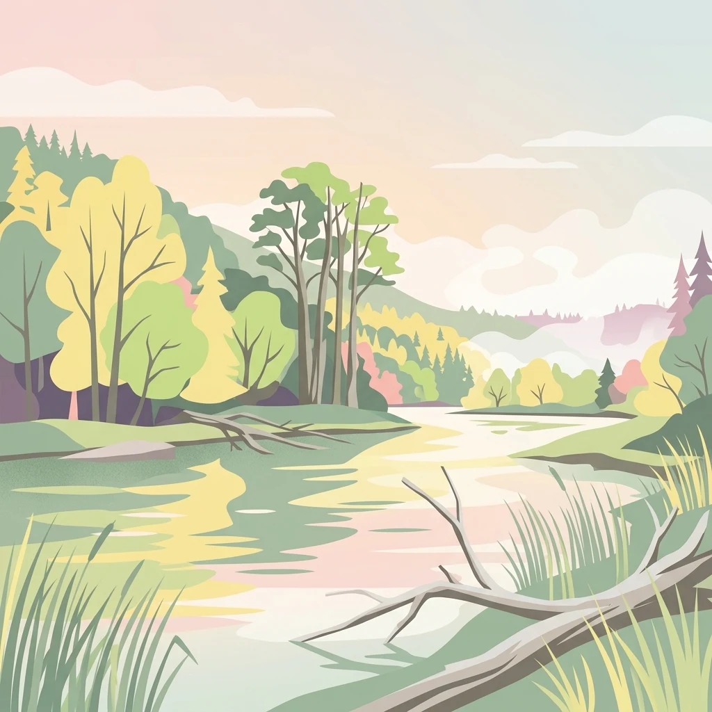
A soft-toned digital illustration of a river flowing through a lush landscape with trees, grasses, and fallen branches in the foreground.

Im Sand bei Rotenburg

Nature reserve

Park overview

Structured park overview, official facts, and landscape profile for Im Sand bei Rotenburg

Im Sand bei Rotenburg park facts, protected area profile, and essential visitor context

Review the core facts for Im Sand bei Rotenburg, including designation, size, terrain, visitor scale, habitats, and operating context in one park-focused overview.

About Im Sand bei Rotenburg

Im Sand bei Rotenburg lies in the north of Hesse, within the Landkreis Hersfeld-Rotenburg district, just outside the town of Rotenburg an der Fulda. The nature reserve occupies a narrow corridor in the floodplain of the Middle Fulda Valley, sandwiched between the Fulda itself to the south and the railway line running from Bebra toward Kassel to the north. Administratively, it belongs to the cadastral districts of the Braach neighborhood and the town of Rotenburg an der Fulda. Its natural region is classified as part of the Rotenburger Fuldatal within the broader Fulda-Werra-Bergland and the Eastern Hesse Highland.

The character of the reserve is shaped strongly by human history rather than by untouched wilderness. In the second half of the twentieth century, the area was used for gravel extraction, leaving behind an open pit that gradually filled with water. Once mining ended in the mid-1990s, the site was deliberately allowed to evolve. Sections of its banks were shaped during renaturation work in order to encourage a wide range of habitats to develop, from steep shores and shallow water zones to reed-fringed edges and quiet backwaters. The original Fulda oxbow, with its existing populations of yellow water lilies, was incorporated into the protected area, giving the reserve a meaningful combination of newly created and pre-existing floodplain features.

The mosaic that resulted includes the central gravel pit lake, the old river arm with its water lily stands, softwood floodplain forest, reedbeds, tall herb and tall forb communities, successional scrub, fallow land, and surrounding grassland. Together these elements offer shelter, feeding areas, and stepping-stone habitats for birds along a heavily modified stretch of the Fulda. The reserve's modest size of around 10 hectares is balanced by its strong integration into a wider floodplain renaturation strategy, which after the January 1995 flood worked to expand the river's natural retention capacity through new side arms, steep banks, and historically based flood channels. Im Sand bei Rotenburg, together with neighboring gravel lakes, forms one of the key nodes in this effort to combine flood protection with the recovery of near-natural floodplain ecosystems in the Middle Fulda Valley.

Quick facts and research context for Im Sand bei Rotenburg

Im Sand bei Rotenburg is a nature reserve (Naturschutzgebiet) of approximately 10.22 hectares located in the Fulda floodplain in the Landkreis Hersfeld-Rotenburg district of Hesse. It was established in 1997 under a decree of the regional nature conservation authority at the Regierungspräsidium Kassel and carries the official identifier 1632029 with the World Database on Protected Areas code 318594.

The reserve is classified in the IUCN Category IV framework as a Habitat/Species Management Area and lies entirely within the larger Landschaftsschutzgebiet Auenverbund Fulda, which was designated in 1993. The site combines a former gravel pit, now a kettle-like lake, with adjacent old river arms of the Fulda, softwood floodplain forest, reedbeds, tall herb vegetation, successional areas, fallow land, and grassland. Its protection aims at conserving characteristic flora and fauna, preserving natural flood dynamics, and reactivating floodplain channels along the Fulda.

Protection and recognition

Terrestrial conservation framework and verified administrative tracking metrics

Im Sand bei Rotenburg Protection Status and Official Designation Records

Terrestrial protection status for Im Sand bei Rotenburg incorporates verified administrative records and baseline conservation tracking measures. Official recognition data outlines the documented scope of management oversight across the protected terrain.

Protection details

Protection scope
Terrestrial
Transboundary protection
No
WDPA ID
318594
Park context

Deeper park guide and search-rich context for Im Sand bei Rotenburg

Im Sand bei Rotenburg history, landscape, wildlife, and travel context

Explore Im Sand bei Rotenburg through its history, landscape character, ecosystems, wildlife, conservation priorities, cultural context, and seasonal travel timing in a structured park guide built for atlas discovery and search intent.

Why Im Sand bei Rotenburg stands out

Im Sand bei Rotenburg is best known for the transformation of an abandoned gravel pit into a structured floodplain mosaic along the Fulda River. The reserve pairs an artificial gravel pit lake with remnants of an old Fulda arm, producing an unusually varied still-water complex for a site of its size. It is also recognized for its bird communities, with roughly fifty protected or threatened bird species documented within its boundaries. Species like little grebe, great egret, cormorant, several dabbling and diving duck species, goosander, and osprey have been recorded as regular passage migrants and winter visitors, giving the site regional relevance for waterbird watching and for floodplain conservation in central Germany.
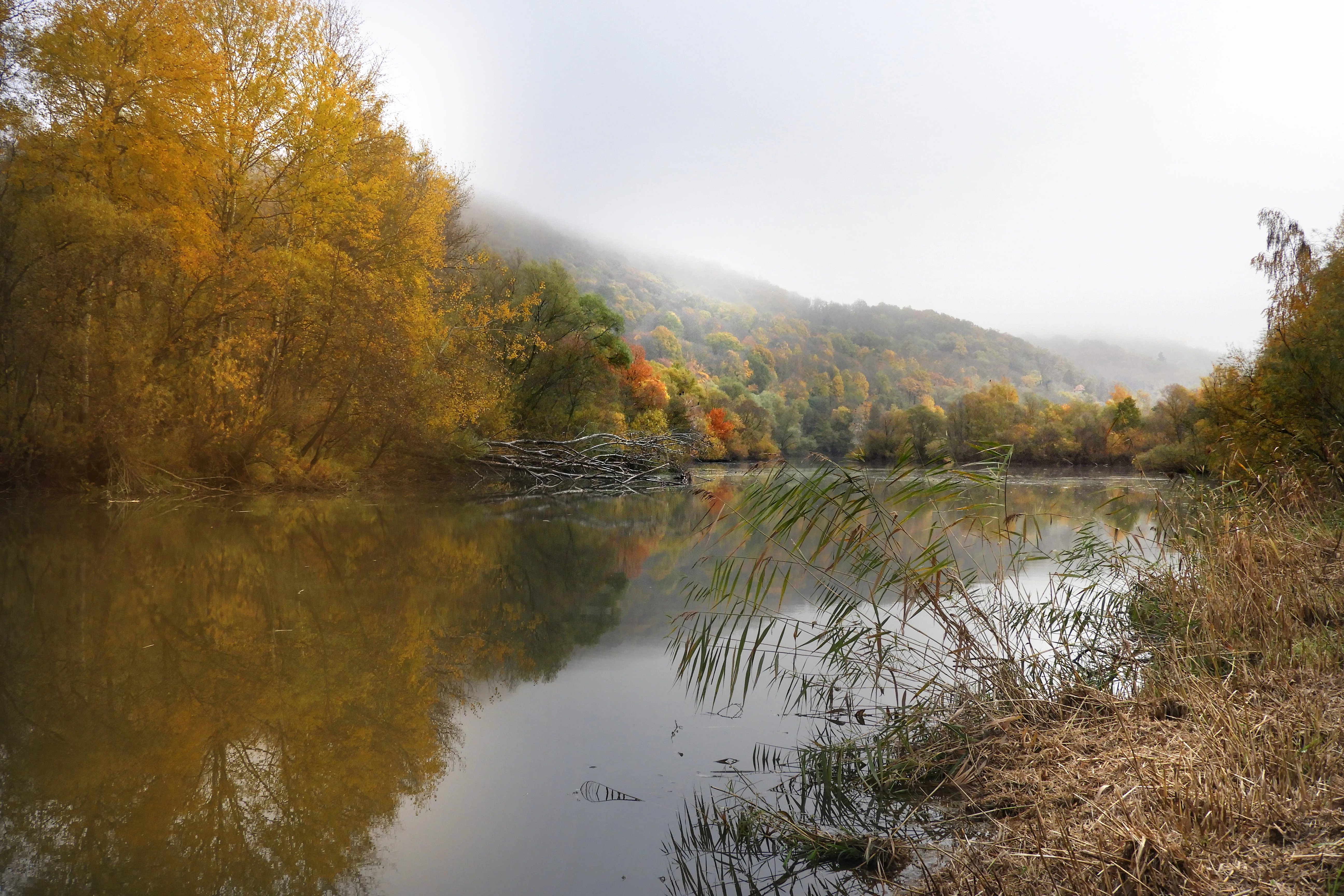
A calm river scene surrounded by autumn trees and fog, with reeds in the foreground and a wooded hillside in the background.
A tranquil view of the river landscape in Im Sand bei Rotenburg during autumn.

Im Sand bei Rotenburg history and protected-area timeline

The site has a relatively short history as a protected area but a more complex history as a landscape. Until the mid-1990s, the land that today forms the reserve was actively worked as a gravel extraction site. When mining ceased, the resulting open pit began filling with water, and attention shifted to what the abandoned workings could become for nature conservation.

On 31 July 1997, the higher nature conservation authority at the Regierungspräsidium Kassel issued a decree establishing Im Sand bei Rotenburg as a Naturschutzgebiet. The purpose of the designation was to protect the habitats of the local flora and fauna and to allow them to develop on their own terms. The decree also aimed to safeguard the old river arm with its reedbeds and water lily stands, to support near-natural development of shoreline and successional habitats, and to maintain the natural fluctuation of water levels that come with Fulda flood events. In addition, a historic flood channel was to be reactivated inside the reserve.

The reserve sits entirely within the larger Auenverbund Fulda landscape protection area, which had been designated in 1993. That broader framework focuses on preserving wet meadow and riparian vegetation communities shaped by varying degrees of moisture and on converting cropland into extensively used grassland. Following the Fulda flood of January 1995, further renaturation was carried out along the river as part of a flood-management strategy. Instead of building ever higher dikes, planners widened the river and created new side arms, shallow water zones, and floodplain channels based on historical maps. The gravel pit lake at Im Sand and other nearby extraction lakes were incorporated into this Auenreaktivierung program, linking the small reserve to a larger effort to reduce flooding in the town of Rotenburg while rebuilding a more typical floodplain ecosystem.

Im Sand bei Rotenburg landscape and geographic character

Im Sand bei Rotenburg occupies a flat, low-lying stretch of the Fulda floodplain at roughly 184 meters above sea level. Its terrain is shaped by the dynamics of the river rather than by relief. The reserve is bordered to the south by the curving course of the Fulda and to the north by the embankment of the Bebra to Kassel railway line, which gives the protected area a long, narrow footprint typical of small river floodplain sites.

Rather than dramatic landforms, the reserve's landscape value lies in the structure and variety of its surfaces. The central feature is the open water of the former gravel pit, surrounded by a ring of differently shaped banks: some steep where the face of the old quarry remains, others gently sloping where renaturation work deliberately created shallow margins. Connected to it is an old arm of the Fulda, slower-moving and partially shaded, where water lilies form a distinctive botanical feature. Beyond the water, the reserve grades into reedbeds, tall forb vegetation, bushier successional thickets, fallow patches, and open grassland that was once part of the working agricultural floodplain.

Within the wider context, the reserve sits inside the natural region known as the Rotenburger Fuldatal, itself a subunit of the Fulda-Werra-Bergland and the Osthessisches Bergland. Although the surrounding region is hilly, the protection area itself reads as a low, green, water-shaped patch of land that links the town of Rotenburg an der Fulda with the rural landscape to the northwest.

Im Sand bei Rotenburg ecosystems, habitats, and plant life

The ecological identity of Im Sand bei Rotenburg is built around the interaction of open water, floodplain forest, marshy ground, and grassland. The site holds a remarkable concentration of habitats in a small footprint: the gravel pit lake, the old Fulda arm with water lily populations, softwood floodplain woodland dominated by willow and similar moisture-loving species, dense reedbeds along the water's edge, stands of tall herbaceous vegetation, scrubby successional areas, fallow land, and managed grassland.

Because the reserve lies within the active floodplain of the Fulda, its ecology is tightly linked to the river's rhythm. Periodic flooding brings disturbance, sediment deposition, and new moisture gradients, all of which increase structural variety. Renaturation work after the 1995 flood reinforced this dynamic character by creating additional side arms, shallow water zones, and dormant flood channels meant to reactivate the natural pulsing of the river into the surrounding meadows and gravel pits.

Beyond the water itself, the reserve is surrounded by transitional zones where wet meadows give way to drier grassland, and where successional scrub can grow into young woodland. These gradients create the conditions needed for a wide range of plants adapted to different moisture levels, and they support an insect and invertebrate community that in turn underpins the reserve's bird life.

Im Sand bei Rotenburg wildlife and species highlights

Wildlife at Im Sand bei Rotenburg is dominated by birds, which are the most visible beneficiaries of the reserve's mosaic of open water, reedbeds, and floodplain meadows. Roughly fifty protected or threatened bird species have been recorded within the protected area, and bird composition has shifted over time as construction and subsequent vegetation development have altered habitat availability.

The reserve is particularly important as a refuge and stopover for waterbirds. Little grebe, great egret, and cormorant are among the species documented here, along with several species of dabbling and diving duck. Garganey, gadwall, Eurasian teal, northern shoveler, common pochard, and tufted duck all appear in records from the site, alongside goosander and osprey, which indicate the consistent presence of fish-rich open water. The reserve also functions as a wintering area and a stepping-stone for migrants moving along the Fulda corridor.

Beyond birds, the lakes, channels, and wet soils host the typical fauna of river floodplain systems in Hesse, including amphibians associated with shallow standing water, fish populations in the connected old arm, and a rich invertebrate community that supports the larger food web. While these groups are less prominently documented in the source material than the avifauna, they are central to the ecological functioning of the reserve.

Im Sand bei Rotenburg conservation status and protection priorities

Im Sand bei Rotenburg carries national designation as a Naturschutzgebiet, Hessen's strictest form of area protection, and is classified in the IUCN framework as a Category IV Habitat/Species Management Area. Its national identifier is 1632029 and its World Database on Protected Areas record number is 318594. The reserve is also fully embedded within the larger Auenverbund Fulda landscape protection area, a designation that extends protections over a much wider band of floodplain along the river.

The rationale for protection goes beyond simply preserving an attractive site. The decree establishing the reserve focuses on protecting and supporting the autonomous development of characteristic local flora and fauna, on safeguarding the old river arm with its reedbeds and water lilies, on securing the natural development of shoreline and successional habitats, and on maintaining the dynamic flooding pattern of the Fulda. At a broader scale, the reserve is part of a regional strategy that uses floodplain renaturation as a tool for both flood protection and biodiversity recovery, an approach strongly reinforced after the January 1995 Fulda flood.

By tying the reserve into surrounding channels and other former gravel lakes, planners have been able to enlarge the functional floodplain of the Fulda without relying solely on engineered dikes. This dual function, providing room for the river while also providing habitat for species of conservation concern, gives Im Sand bei Rotenburg a significance well beyond its modest 10 hectares.

Im Sand bei Rotenburg cultural meaning and human context

The reserve's cultural context is closely tied to the town of Rotenburg an der Fulda and to the long history of human use of the Fulda floodplain. The site sits within traditional ground of Rotenburg and its Braach neighborhood, and the surrounding landscape has long been shaped by agriculture, milling along the Fulda, and, more recently, by industrial gravel extraction. The reserve itself is the product of these land uses, having been deliberately converted from a worked-out gravel site into a conservation area.

This conversion reflects a broader shift in how the Fulda floodplain has been valued in the late twentieth and early twenty-first centuries, moving from a landscape viewed largely as a source of raw materials toward one valued for its ecological and recreational role. The Auenerlebnispfad, a floodplain experience trail that runs from Rotenburg toward the Braach sports ground, illustrates this shift, offering visitors an accessible way to engage with the floodplain and to view the reserve from its southern edge.

Top sights and standout views in Im Sand bei Rotenburg

The highlight of Im Sand bei Rotenburg is the way a small former gravel pit has been turned into a structurally rich floodplain reserve, blending a kettle-like lake, an old Fulda arm, softwood forest, reedbeds, and grassland within a single compact footprint. The reserve exemplifies how post-industrial sites can be reintegrated into functioning river landscapes.

Equally notable is its significance for waterbirds, with around fifty protected or threatened species recorded and a regular presence of migrants and winter visitors such as little grebe, great egret, cormorant, a suite of dabbling and diving ducks, goosander, and osprey. Combined with its role as part of the Auenverbund Fulda and the post-1995 flood renaturation program, the reserve stands out as a small but strategically important node in the conservation of the Middle Fulda floodplain.

Best time to visit Im Sand bei Rotenburg

Im Sand bei Rotenburg is best experienced during the bird-rich seasons of spring and autumn, when migratory waterbirds pass through or settle in the gravel pit lake and the old Fulda arm. Autumn and winter can bring concentrations of ducks, grebes, and visitors such as great egret and goosander, while spring adds breeding activity in the reedbeds and along the more sheltered banks.

Summer brings the most lush growth of tall herb vegetation and water lilies, and the surrounding grassland is at its greenest, although warm weather also means that insect activity is high and the open water can be quieter than in the cooler months. Visitors interested in the floodplain character of the site may find years following major Fulda floods particularly interesting, as renewed sediment deposition and water-level fluctuation re-shape the reserve's mosaic.

Monthly climate preview

Measured monthly weather patterns and annual temperature ranges for Landkreis Hersfeld Rotenburg

Im Sand bei Rotenburg Climate Normals: Long Term Temperature and Precipitation Rhythm

Representative coordinates record long term temperature variations and monthly precipitation averages across the protected terrain of Im Sand bei Rotenburg. Detailed climate profiles provide comprehensive month by month data to examine annual meteorological conditions in depth.
Annual mean8 °C
-1 °C18 °C
Jan-1°
Feb
Mar
Apr
May12°
Jun16°
Jul18°
Aug18°
Sep14°
Oct
Nov
Dec
Warmest month
July

18.3 °C

Coolest month
January

-1.1 °C

Wettest month
July

2.6 mm/day

Driest month
April

1.4 mm/day

Park location guide

Geography guide, regional context, and park location map for Im Sand bei Rotenburg

Im Sand bei Rotenburg park geography, regions, and map view in Germany

Understand where Im Sand bei Rotenburg sits in Germany through a broader geographic reading of the surrounding landscape, nearby location context, and its mapped position within the national park landscape.

How Im Sand bei Rotenburg fits into Germany

Germany is a federal republic in Western and Central Europe with a population of over 83 million across sixteen constituent states. It is Europe's largest economy by nominal GDP and a major global exporter and importer. The capital is Berlin, and the country borders Denmark, Poland, Czech Republic, Austria, Switzerland, France, Luxembourg, Belgium, and the Netherlands.

Wider geography shaping Im Sand bei Rotenburg in Germany

Germany is located in Western and Central Europe, spanning 357,022 km². It borders Denmark to the north, Poland and the Czech Republic to the east, Austria and Switzerland to the south, and France, Luxembourg, Belgium, and the Netherlands to the west. The country has coastlines on the Baltic Sea and North Sea to the north, with the Alps located in the southern region.

Map view of Im Sand bei Rotenburg

Use this park location map to pinpoint Im Sand bei Rotenburg in Germany, understand its exact geographic position, and read its mapped placement within the surrounding landscape more clearly.

Pigeon | © OpenStreetMap contributors

Location context for Im Sand bei Rotenburg

Landkreis Hersfeld-Rotenburg

Visualizing the floodplain habitats, gravel pit lake, and protected river terrain

Im Sand bei Rotenburg Photos and Landscape Scenery

Visual records document the complex mosaic of aquatic habitats, wetlands, and softwood floodplain forests within the reserve. Photographic exploration reveals the structural character of the protected area, highlighting the restored river terrain along the Fulda Valley.

A calm river scene surrounded by autumn trees and fog, with reeds in the foreground and a wooded hillside in the background.

A dirt path leads through a bright green grassy meadow in a nature reserve, flanked by bare deciduous trees against a clear blue sky, with a fallen tree visible on the right.

Park atlas

Compare regional floodplain reserves and adjacent nature habitats across the Middle Fulda Valley.

Parks Near Im Sand bei Rotenburg and Connected Protected Landscapes

Browse other protected areas and river valley reserves located near Im Sand bei Rotenburg to compare regional floodplain habitats. Exploring adjacent conservation zones reveals broader patterns in lowland river restoration and local wetland geography.
A watercolor illustration showing a winding river flowing through a grassy field, with a cluster of green trees on the right and soft pink and gray hills in the background.
Nature reserveGermany
About 3.9 km away#1 closest

Northwest

Kiesgrube bei Baumbach Nature Reserve: River Meander and Wetland Geography in Germany

A preserved riparian landscape and bird habitat in northern Hesse

Located along the middle Fulda, this nature reserve represents an engineered success story where a former quarry transformed into a vital wetland ecosystem. Its shallow lake margins, willow thickets, and floodplain forests create a critical protected area for local waterbird populations, serving as an essential node within the Auenverbund Fulda floodplain conservation network.

Area
0.23 km²
Established
1995
Relief
Lowland
Climate
Temperate
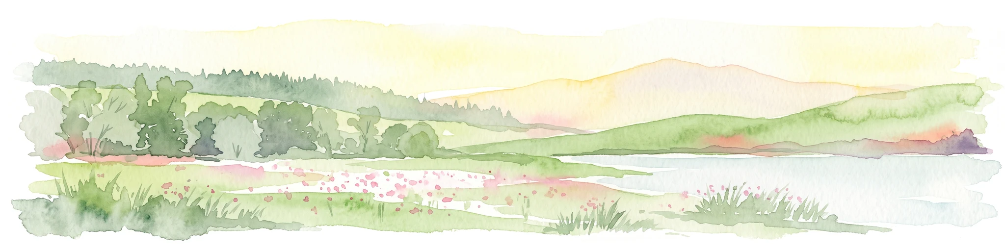
A soft, painterly watercolor landscape showing a green grassy meadow beside a calm lake with a stand of trees and rolling hills in the background.
Nature reserveLandkreis Hersfeld-Rotenburg
About 5 km away#2 closest

Southeast

Forbachsee bei Bebra Nature Reserve: Mapped Protected Landscape in Landkreis Hersfeld-Rotenburg

River-connected gravel-pit lake and floodplain geography

Analyze the protected boundaries of Forbachsee bei Bebra, a nature reserve defined by its active connection to the River Fulda. The site features an evolving shoreline of gravel banks and softwood forest, showcasing how industrial extraction areas mature into essential refuges for migratory waterbirds within the larger regional valley system.

Area
0.219 km²
Established
1985
IUCN
IV
Relief
Lowland
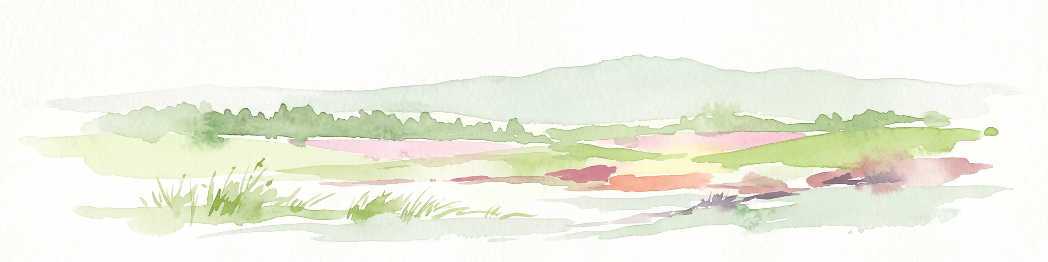
A soft, panoramic watercolor painting depicting a green floodplain with a winding river, scattered trees, and rolling hills in the distance.
Nature reserveSchwalm-Eder-Kreis
About 6.3 km away#3 closest

Northwest

Fuldatal bei Konnefeld: Protected Floodplain and Wetland Geography in Schwalm-Eder-Kreis

An essential river valley habitat and nature reserve in northern Hesse

Fuldatal bei Konnefeld is a compact, high-value nature reserve situated along the Fulda river valley. The landscape is defined by its old river oxbows, soft-wood forest galleries, and species-rich hay meadows. This resource provides a focused geographic overview of its protected status as a Natura 2000 site and its function as a vital wildlife corridor.

Area
0.169 km²
Established
1989
IUCN
IV
Relief
Lowland
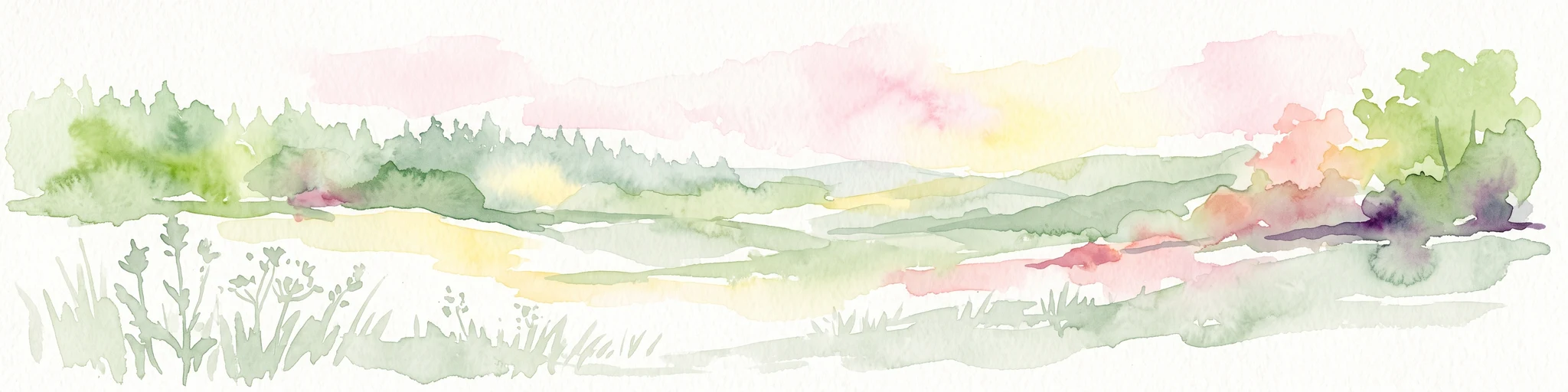
Watercolor painting of a river landscape with lush green vegetation and soft pink hills in the background.
Nature reserveLandkreis Hersfeld-Rotenburg
About 8.8 km away#4 closest

Southeast

Alte Fulda bei Blankenheim Nature Reserve: Mapping the Fulda Valley Floodplain Ecosystem

Protected riparian landscapes in Landkreis Hersfeld-Rotenburg

Alte Fulda bei Blankenheim is a vital nature reserve featuring a restored oxbow, wet meadows, and secondary flood channels. This site showcases the intersection of traditional land management and modern wetland conservation within the broader landscape of the Fulda valley. Explore the boundaries, terrain, and regional geography of this important Hessian bird sanctuary and floodplain habitat.

Area
0.236 km²
Established
1981
IUCN
IV
Relief
Lowland
A soft, impressionistic watercolor painting of a serene landscape featuring rolling green hills, lush vegetation, and a calm, reflective lake in the foreground.
Nature reserveHesse
About 9.7 km away#5 closest

Southeast

In den Weiden bei Blankenheim: A Protected Wetland Sanctuary in the Hessian Fulda Valley

Mapping riparian floodplains and bird migration corridors in central Germany.

The In den Weiden bei Blankenheim nature reserve preserves a compact yet ecologically dense floodplain lake environment. Managed as a crucial component of the regional Fulda valley river corridor, it demonstrates the successful conversion of post-industrial gravel pits into a stable habitat for waterbirds, songbirds, and diverse riparian flora within the Hessian landscape.

Area
0.045 km²
Established
1983
IUCN
IV
Relief
Lowland
Watercolor painting of a lush, open landscape with a pond in the foreground, rolling green hills, and a forest in the background.
Nature reserveHesse
About 11 km away#6 closest

East

Auf dem Ried bei Iba Nature Reserve and Protected Wetland Landscape in Northern Hesse

Mapped brook valley and wet grassland geography

Auf dem Ried bei Iba stands as a significant nature reserve in the Iba valley of eastern Hesse, Germany. This protected area preserves a rare sequence of reedbeds, marshes, and spring-fed wet meadows that sustain diverse aquatic plant communities. By maintaining the natural hydrology of the local brook system, the reserve offers a unique look at the wetland terrain and riparian geography characteristic of the Hesse hill country.

Area
0.047 km²
Established
1985
IUCN
IV
Relief
Lowland
A soft, minimalist watercolor illustration showing a rolling green landscape with distant hills and patches of pink and yellow vegetation.
Nature reserveHessen
About 11 km away#7 closest

East

Dachsberg bei Iba Nature Reserve: Protected Landscapes and Geography in Hessen

Rare calcareous dry grasslands and juniper heath terrain

Located in the Ibaer Hügelland of northeastern Hessen, Dachsberg bei Iba encompasses 27 hectares of lime-rich, shallow-soil slopes. This nature reserve provides essential habitat for threatened orchids and invertebrates, serving as an important example of a traditional cultural landscape preserved through ongoing conservation efforts and historical pastoral land use.

Area
0.271 km²
Established
1993
IUCN
IV
A horizontal watercolor painting depicting a soft-toned, rolling landscape with green meadows, distant tree lines, and a light-filled sky.
Nature reserveHesse
About 14 km away#8 closest

West

Roßbachtal bei Völkershain Nature Reserve: Geography and Protected Valley Landscapes

Stream-fed meadow and forest habitats in Hesse

Located in the Schwalm-Eder-Kreis, Roßbachtal bei Völkershain encompasses a linear valley environment within the Knüllgebirge. The reserve tracks the Roßbach stream as it moves toward the Breitenbach, featuring a protected alignment of meadows and slopes that serves as a focused habitat management area in central Germany.

Area
1.141 km²
Established
1988
IUCN
IV

Common questions about visiting, size, designation, and location context for Im Sand bei Rotenburg

Im Sand bei Rotenburg FAQs for park facts, access, geography, and protected area context

Find quick answers about Im Sand bei Rotenburg, including protected-area facts, park geography, trail and visitor context, and how the park fits into its surrounding country and regional landscape.
MoriAtlas Explorer

Continue Your Protected Areas Search Across the Global Atlas

Deepen your exploration by continuing the structured search for national parks and protected areas worldwide. Utilize the comprehensive filtering capabilities to compare different conservation landscapes and refine your understanding of global park geography. Discover more about the distribution and characteristics of protected natural areas.

Global natural geography