Mori Atlas logo
Park earthquake history

A structured geographical catalogue of historical seismic events within the Columbia Basin

Recorded Earthquake History and Seismic Activity Near Juniper Dunes Wilderness, Washington

Review a detailed inventory of historical earthquake records geographically associated with the Juniper Dunes Wilderness terrain. This catalogue maps seismic events by epicentre distance to provide a clear view of recorded activity in the vicinity of this protected Washington wilderness area. Each record features event date, depth, and magnitude data to assist in the study of regional seismic geography.

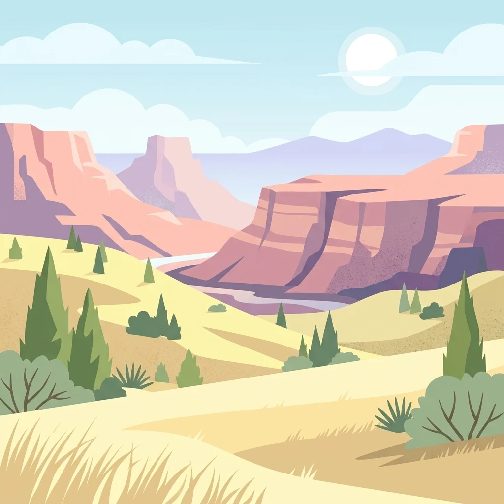
A flat vector-style illustration of a desert landscape showing large, layered mesa cliffs in the background and a sandy, grass-covered foreground with scattered evergreen trees under a pale sky.

A small Washington wilderness defined by large sand dunes and the northernmost western juniper grove in the United States.

Juniper Dunes Wilderness

Juniper Dunes Wilderness is a small federally protected wilderness area in Franklin County, Washington, near the city of Pasco. Covering roughly 7,140 acres of inland sand dunes and arid shrub-steppe habitat, the area is managed by the Bureau of Land Management as part of the National Wilderness Preservation System. The wilderness is best known for hosting the northernmost population of western juniper trees in North America, growing among extensive dune systems surrounded by the Columbia Basin landscape. The terrain is shaped by wind-blown sand, scattered juniper stands, and an unusual mix of dune and desert-like plant communities more typical of regions much farther south. Because the western juniper population here lies far north of the species' usual range, the area is widely cited as a biogeographic landmark in eastern Washington. The combination of large dunes, isolated juniper groves, and rimrock-adjacent rangeland gives the wilderness a distinctive character within the broader Columbia Plateau. Though small, Juniper Dunes Wilderness is ecologically significant, supporting a diverse mix of shrub-steppe vegetation, specialized dune plants, and wildlife associated with both dune and grassland habitats. Limited public access and surrounding private land have helped preserve a remote, lightly visited quality that remains central to the area's identity as an officially designated wilderness.

Location
United States of America
Park type
Protected area
Established
1984
Area
28.9 km²
Juniper Dunes Wilderness Geography

Compare regional events beyond the Columbia Basin dune boundary

Search earthquakes near Juniper Dunes Wilderness

The Juniper Dunes Wilderness catalogue relates earthquake epicentres 22.03 to 48.42 kilometres away to this Washington landscape, without placing those events inside the protected area. Examine dates, magnitudes, depths, reported places, distances, and original sources while avoiding conclusions about seismic effects on its wind-shaped dunes, shrub-steppe habitat, western junipers, or present-day conditions.

Sort by
Magnitude
Location

This page describes catalogued earthquakes associated with the park by epicentre location and distance. It does not establish causation, assess current danger, or predict future earthquakes.

No earthquake records match the current filters

Park atlas

Continue from Juniper Dunes Wilderness earthquake history

Find additional protected parks after Juniper Dunes Wilderness

Continue from Juniper Dunes Wilderness’s earthquake section to other protected landscapes across the atlas. The recommendations do not identify equivalents for Washington dunes, northern juniper habitat, or United States wilderness status, nor do they suggest matching geography, seismic evidence, exposure, proximity, current hazard, risk, or source depth.
Protected landscapeOregon
About 96 km away#1 closest

Southeast

Umatilla National Forest: A Comprehensive Atlas of Blue Mountains Protected Landscapes

Explore mountain terrain, wilderness areas, and river-carved geography

Spanning over one million acres, Umatilla National Forest encompasses a complex array of river-cut canyons, high-country ridges, and substantial old-growth woodlands. This protected landscape offers a deep look into the ecological and physical character of the Blue Mountains, from the remote reaches of the Wenaha-Tucannon Wilderness to the headwaters of the Umatilla River.

Area
5,694 km²
Established
1908
Visitors
703K annual
Relief
Mountain
Protected landscapeOregon
102 km away#2 closest

Southeast

Wallowa-Whitman National Forest: A Geographic Overview of Northeastern Oregon Landscapes

Alpine wilderness, mountain ranges, and deep river gorges.

Wallowa-Whitman National Forest protects a vast, varied landscape of granite peaks, alpine meadows, and forested river canyons. This detailed overview covers the geographic significance of the Wallowa and Elkhorn mountains, the Hells Canyon corridor, and the surrounding wilderness regions within Oregon.

Area
9,682 km²
Established
1905
Visitors
505K annual
Relief
Mountain
A horizontal watercolor painting depicting a soft-focus mountain range in shades of purple and pink behind a green forest and a calm blue lake.
Wildlife reserveOregon
128 km away#3 closest

Southeast

Eagle Cap Wilderness: Map and Protected Area Overview in Northeastern Oregon

High elevation terrain, glacial valleys, and mountain ecosystems

Spanning over 350,000 acres, Eagle Cap Wilderness defines the high-altitude geography of the Wallowa Mountains. This protected area is characterized by sharp granite ridges, more than 60 named alpine lakes, and deeply carved U shaped glacial valleys. It acts as a primary water source for the region, hosting the headwaters of several major rivers while supporting diverse wildlife populations in a preserved backcountry environment.

Area
1,462.72 km²
Established
1940
IUCN
Ib
Relief
Mountain
A watercolor painting of a wide, rolling landscape with green hills, a winding path or river, and soft mountains in the background against a white background.
Protected landscapeUnited States of America
143 km away#4 closest

Southeast

Hells Canyon National Recreation Area: Geologic Boundaries and Snake River Corridor Atlas

Deep canyon terrain and archaeological heritage in the American Northwest

This protected landscape encompasses the profound depth of the Snake River gorge, featuring rugged basalt cliffs and diverse forested uplands. The area serves as a significant intersection of natural history and ancient cultural presence, providing a detailed look at the topographic complexity defining the Oregon and Idaho boundary region.

Area
2,641 km²
Established
1975
Relief
Mountain
Climate
Temperate
A watercolor painting of a mountain landscape with soft-colored rolling hills, a green forest line, and foreground vegetation on a white background.
Protected landscapeWashington
145 km away#5 closest

Northwest

Okanogan, Wenatchee National Forest: A Comprehensive Look at Washington's Protected Mountain Landscapes

Mapping ecological gradients and wilderness boundaries across the eastern Cascade Range

Spanning from the moist coniferous forests of the western Cascades to the arid plateaus of the Okanogan, this massive national forest protects an unmatched diversity of terrain. Explore the intricate geography of river-carved valleys, glacial cirques, and remote wilderness areas that characterize this critical environmental corridor in the Pacific Northwest.

Area
6,066.33 km²
Established
1911
Visitors
397K annual
Relief
Mountain
A horizontal watercolor painting showing a panoramic view of layered green and purple mountains under a pale sky, with coniferous trees in the foreground.
Protected landscapeOregon
172 km away#6 closest

South

Malheur National Forest: Exploring Oregon's Vast Protected Mountain and Desert Landscape

A geographic study of the Blue Mountains and high desert terrain

Spanning over 1.4 million acres, Malheur National Forest represents a complex protected landscape in eastern Oregon. Its geography is defined by a central spine of the Strawberry Mountains, creating a transition zone between arid high desert ecosystems and dense coniferous forests. Known for large wilderness areas and extensive old growth stands, this forest serves as a vital point for understanding the interplay between topographic elevation and regional climate in the Pacific Northwest.

Area
5,929.81 km²
Established
1908
Visitors
242K annual
Relief
Mountain
A horizontal watercolor illustration featuring a waterfall on the left, a range of rolling mountains in the background, and clusters of trees in the midground, rendered in soft, blended colors.
Protected landscapeWashington
172 km away#7 closest

West

Gifford Pinchot National Forest: Geographic Overview of Washington's Volcanic Cascade Protected Lands

Mapping volcanic peaks, deep river canyons, and old-growth wilderness corridors

Gifford Pinchot National Forest represents a major protected expanse in the Washington Cascades, characterized by a complex volcanic topography that includes active craters, cinder cones, and rugged lava fields. This atlas entry details the forest's primary geographic features, from the high-elevation alpine terrain of the Goat Rocks to the river-carved valleys of the Lewis and Cowlitz systems, providing essential context on this integral Pacific Northwest protected landscape.

Area
5,347.95 km²
Established
1908
Visitors
1.8M annual
Relief
Mountain
A soft watercolor illustration depicting a winding river flowing through a gentle landscape with distant rolling hills and scattered trees.
Protected areaWashington
About 192 km away#8 closest

North

Lake Roosevelt National Recreation Area: An Atlas of Washington Reservoir Landscapes

A sprawling protected region spanning the Columbia River corridor.

Lake Roosevelt National Recreation Area represents a massive, water-defined corridor in eastern Washington. The park preserves the 130-mile Franklin D. Roosevelt Lake, where steep basalt terrain meets arid shrub-steppe. This protected unit offers deep insight into the regional geography of the Columbia Plateau, featuring historical sites and river-system infrastructure that define the landscape's character.

Area
406.3 km²
Established
1946
Visitors
1.2M annual
Relief
Lowland
MoriAtlas Explorer

Explore the Mapped Geography and Protected Landscapes of Juniper Dunes Wilderness

Continue your geographic exploration of Juniper Dunes Wilderness to understand how these dunes and juniper groves shape the regional character of eastern Washington. Use the MoriAtlas datasets to analyze the terrain, protected area boundaries, and ecological patterns within this distinctive Franklin County location.

Global natural geography