Mori Atlas logo
Park earthquake history

A detailed catalogue of seismic events recorded within the regional vicinity of the Linthebene wetland.

Recorded Earthquake History and Seismic Activity Associated with Kaltbrunner Riet

Access a chronological record of seismic events that have occurred in the surrounding region of Kaltbrunner Riet. This catalogue compiles data for earthquakes associated by epicentre proximity to this protected wetland in St. Gallen. Review specific event dates, recorded magnitudes, and depth measurements to understand the historical seismic profile of this Swiss plateau landscape.

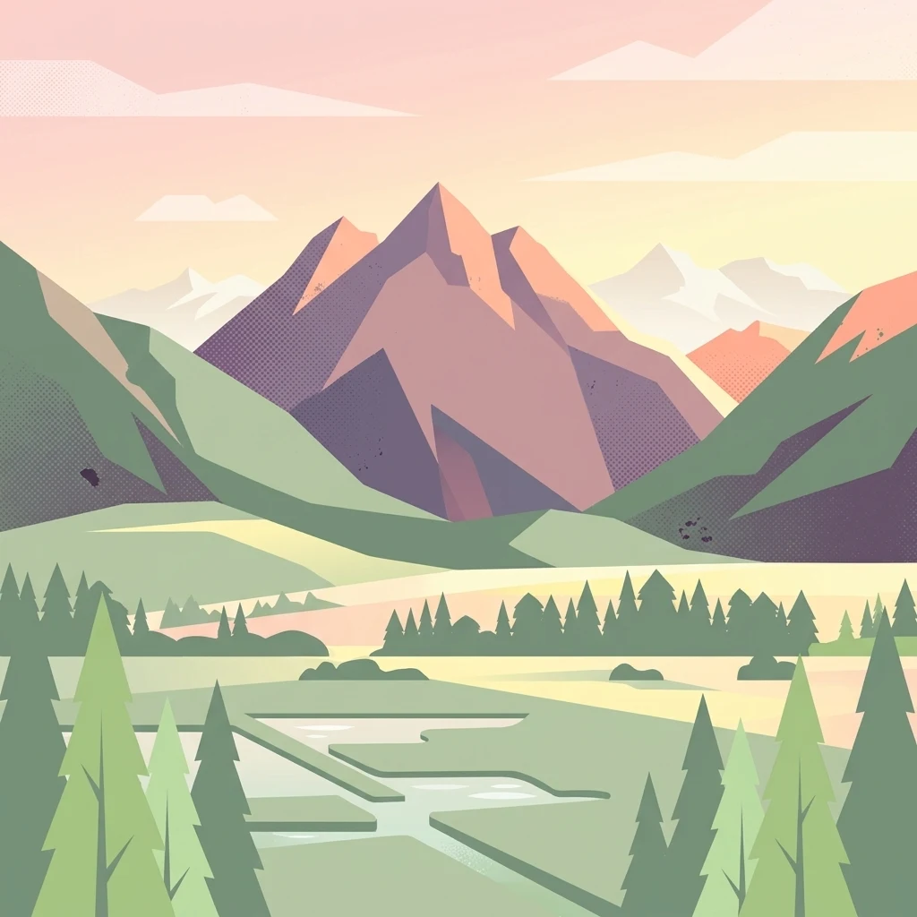
A minimalist flat illustration showing a landscape with mountains in the background, a forest line in the midground, and wetlands in the foreground.

A remnant wetland of the Linthebene, protected for its traditional meadows and rich biodiversity.

Kaltbrunner Riet

The Kaltbrunner Riet is a protected nature reserve in the Swiss canton of St. Gallen, covering parts of the municipalities of Benken, Kaltbrunn, and Uznach. It lies in the Linthebene, the broad valley floor between Lake Walen (Walensee) and Lake Zurich, and represents one of the last surviving fragments of the once extensive wetland landscape that once characterized this region of eastern Switzerland. The reserve is internationally recognized as a Ramsar wetland site and also holds several national-level designations, including amphibian spawning area, lowland fen, and migratory and waterbird reserve of national importance. Large portions of the area are still managed as extensive agricultural land, particularly as traditional litter meadows (Streuwiesen), giving the landscape a distinctive cultural character that has been preserved through centuries of careful use. Pro Natura, the Swiss nature conservation organization, owns and manages the area and operates a visitor center equipped with two observation towers. The Kaltbrunner Riet is regarded as both an ecological stronghold and a cultural-historical landscape, valued as the last remaining example of a habitat type shaped by traditional meadow management.

Location
Switzerland
Park type
Nature reserve
Established
1914
Area
0.5 km²
Kaltbrunner Riet Nature Reserve Map and Geography

Explore Kaltbrunner Riet events through dates, depths, and distances

Study historical earthquake records associated with Kaltbrunner Riet

Kaltbrunner Riet is linked to earthquake entries by epicentre coordinates and distance from the protected site, without asserting that every event lay inside it. Dates, magnitudes, depths, locations, distance readings, and sources support historical exploration while making no claim about site-related causation, present seismic danger, or future events.

Sort by
Magnitude
Location

This page describes catalogued earthquakes associated with the park by epicentre location and distance. It does not establish causation, assess current danger, or predict future earthquakes.

No earthquake records match the current filters

Park atlas

Continue from Kaltbrunner Riet earthquake records to other parks

Visit additional protected park pages after Kaltbrunner Riet

The Kaltbrunner Riet earthquake section gives way to a separately assembled set of protected park pages. These destinations are not presented as sharing the same designation, natural setting, geological context, earthquake catalogue, proximity, seismic relevance, hazards, risk, or evidentiary detail.
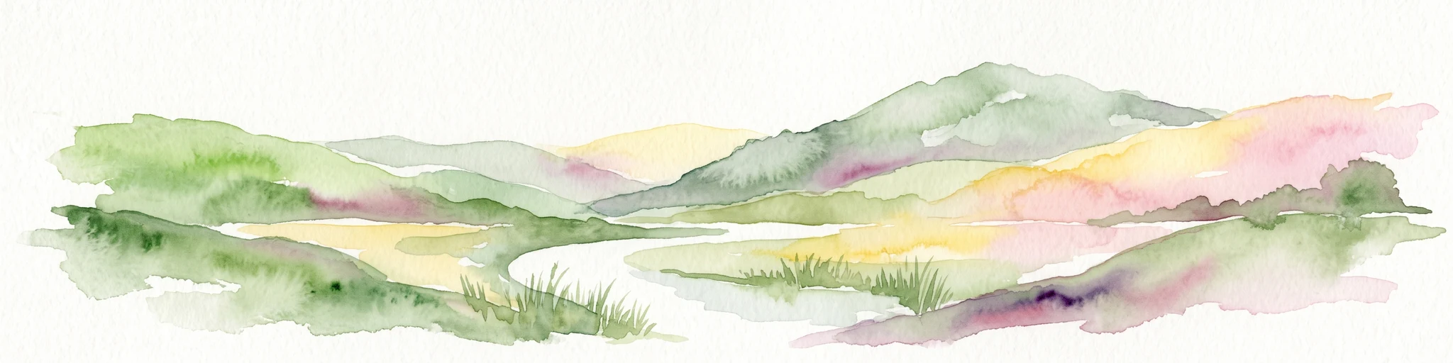
A soft watercolor painting of undulating green hills, meadows, and a winding path against a white background.
Protected landscapeSwitzerland
About 27 km away#1 closest

West

Glaziallandschaft Lorze, Sihl mit Höhronenkette und Schwantenau: Landscape and Terrain Atlas

A study of glacial formations and protected Swiss ecosystems.

Trace the moraine-dominated terrain and river gorges of this nationally recognized protected landscape. From the drumlin fields near Menzingen to the rare peatland habitats of the Schwantenau, this area offers a comprehensive look at the geological and hydrological history of the Swiss Pre-Alps.

Area
10.808 km²
Relief
Mountain
Climate
Alpine
Access
Moderate access
A watercolor painting showing soft rolling green hills, a few small trees, and distant hazy mountain silhouettes under a pale sky.
Nature reserveSchwyz
About 28 km away#2 closest

Southwest

Ibergeregg Nature Reserve: Mapped Protected Landscapes and Alpine Geography of Schwyz

A highland pass and wetland ecosystem in the Swiss pre-Alps

The Ibergeregg nature reserve represents a high, flat saddle in the Schwyz pre-Alps, serving as a landmark for its expansive raised bogs, flat moors, and protected moor forest systems. This documentation details the geographic features, watershed position, and protected status of the pass as it transitions from alpine pasture to high-altitude wetland habitat.

Relief
Mountain
Climate
Alpine
Access
Easy access
Scope
Terrestrial
Protected landscapeZürich
30 km away#3 closest

West

Wildnispark Zürich: Atlas and Geographic Overview of the Protected Landscape

Swiss nature reserve located in the Canton of Zürich

Wildnispark Zürich manages roughly twelve square kilometers of land, bridging the gap between urban density and wild forest environments. The site includes the Sihlwald, a large tract of mixed beech forest, and the Langenberg wildlife area. This atlas entry covers the park geography, its role within the Mittelland forest corridor, and the distribution of protected zones that support native European species.

Area
12 km²
Established
2009
Visitors
600K annual
Relief
Upland
Light watercolor illustration of a winding river or lake curving through green trees and vegetation with pale mountains in the distant background
Nature reserveLiechtenstein
About 39 km away#4 closest

East

Gampriner Seelein Nature Reserve: Geographical Context and Mapped Protected Boundaries

A rare natural lake within the Rhine Valley lowlands

Gampriner Seelein serves as a vital nature reserve and the sole naturally formed lake in Liechtenstein. Formed by historic Rhine flood events, this site preserves a rare floodplain forest ecosystem and managed wetland, providing essential habitat for diverse aquatic species and birds within a densely developed regional geography.

Area
0.015 km²
Established
1961
Relief
Lowland
Climate
Temperate
A watercolor illustration of a landscape with green meadows, trees, and soft mountains in the background, set against a white background.
Nature reserveLiechtenstein
41 km away#5 closest

East

Ruggeller Riet Nature Reserve: Geographic Context and Mapped Wetland Boundaries in Liechtenstein

A vital lowland moorland and wetland ecosystem in the Rhine valley.

Ruggeller Riet serves as the primary lowland nature reserve in Liechtenstein, featuring an expansive 88-hectare wetland landscape. Positioned in the Alpine Rhine valley near the tripoint with Austria and Switzerland, this protected area preserves the post-glacial history of the region through its distinctive peat meadows, bogs, and grassland habitats.

Area
0.88 km²
Established
1978
IUCN
Ia
Relief
Lowland
A wide watercolor illustration showing a landscape of green fields, trees, small white buildings, and distant purple mountains.
Biosphere reserveVorarlberg
About 43 km away#6 closest

East

Biosphere Reserve Großes Walsertal: Regional Geography and Protected Alpine Landscapes

A mapped conservation zone within the Vorarlberg Alps

Biosphere Reserve Großes Walsertal encompasses a protected valley characterized by significant geological diversity. Explore the transition from the soft flysch ridges of the Walserkamm to the dramatic limestone crests of the Kalkhochalpen, reflecting a modern approach to managing Alpine natural resources and cultural heritage in western Austria.

Area
192.31 km²
Established
2000
Regional parkGraubünden
50 km away#7 closest

Southeast

Naturpark Beverin: Exploring Alpine Gorges and Cultural Landscapes in Graubünden

A regional nature park shaped by high alpine ridges and ancient settlement traditions.

Naturpark Beverin encompasses a vast, multi-layered environment in the Swiss Alps. The area is defined by the sharp vertical contrast between carved river gorges like the Viamala and high-elevation ridges. Beyond the rugged mountain terrain, this protected landscape preserves centuries of pastoral history through the distinct settlement traditions of its Romanesque and Walser valleys.

Area
515 km²
Established
2013
Relief
Mountain
Climate
Alpine
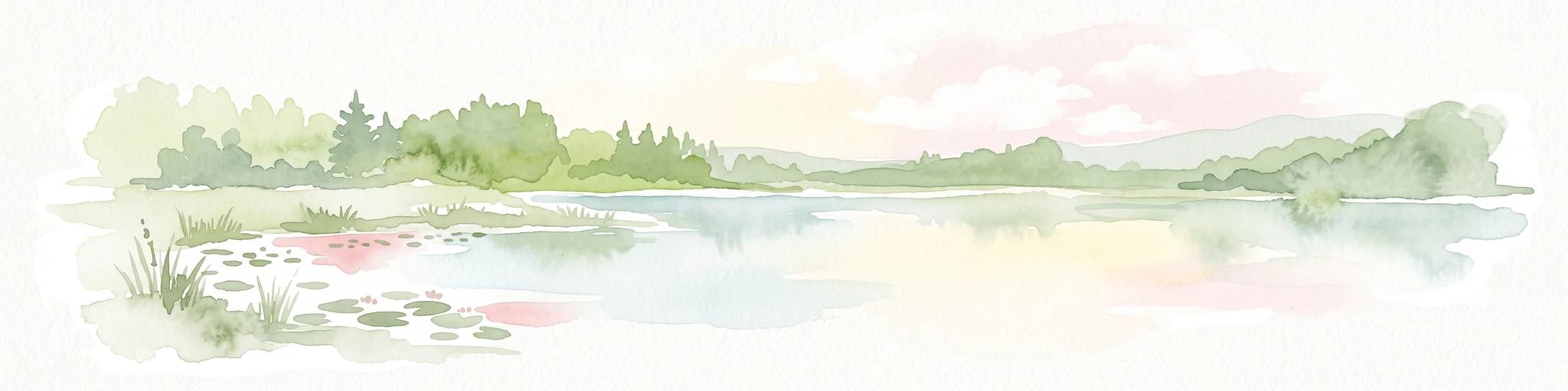
A horizontal watercolor painting showing a calm lake shore with green trees, reeds, and soft reflections on the water surface.
Nature reserveBaden-Württemberg
51 km away#8 closest

North

Bodanrück und westl. Bodensee: Mapped Geography of an Extensive Nature Reserve

A glacial peninsula protected area in Baden-Württemberg

The Bodanrück und westl. Bodensee nature reserve represents a sprawling mosaic of ground moraines, drumlins, and kettle lakes along the shoreline of Lake Constance. This protected area supports a diverse array of habitats, from tufa-forming springs and alluvial forests to species-rich hay meadows, reflecting the complex ecological history of the German southwest.

Area
143.407 km²
Established
2004
Relief
Mixed relief
Climate
Temperate
MoriAtlas Explorer

Explore the Geographic Boundaries and Protected Wetlands of Kaltbrunner Riet

Examine the detailed geographic context and protected status of Kaltbrunner Riet within the MoriAtlas database. This entry provides insight into the ecological significance and landscape history of this important wetland reserve in the canton of St. Gallen, Switzerland.