Peaks
Донгал
1,189.4 m

Structured data on regional mountain terrain, elevation, and park landscape features
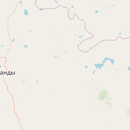
Examine the detailed geographic layout of Karkaraly State National Nature Park, spanning over 1121 square kilometers within the Kazakhstani landscape. This profile provides technical insights into regional mountain peaks, elevation ranges reaching 1403 meters, and forest-covered valleys captured within the established protected boundary.
Mountain-forest preserve in central Kazakhstan's Kazakh Steppe
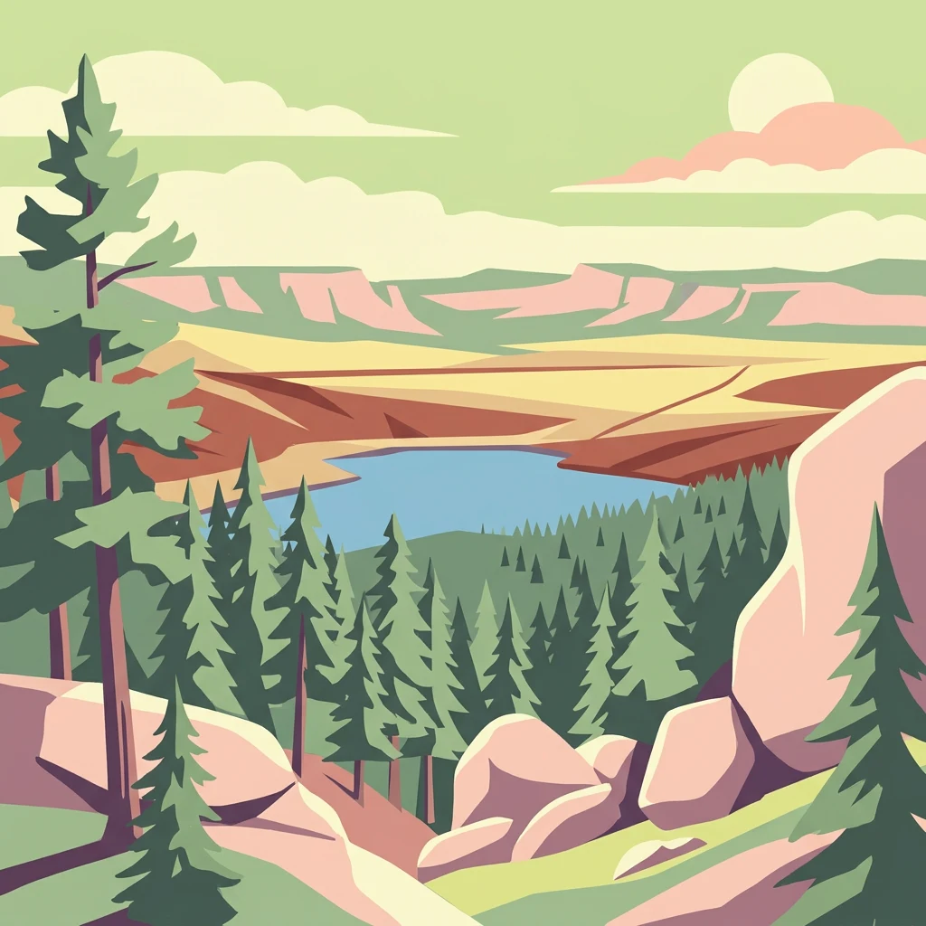
Karkaraly State National Nature Park is a protected mountain-forest area in central Kazakhstan, located in the Karkaraly and Kent mountain ranges within the Karaganda Region. The park was established as a national park on December 1, 1998, though the area has held protected status since 1884 when it was designated as the Karkaralinsk Forest Reserve. The park encompasses approximately 90,000 hectares of rare mountain-forest ecosystem rising from the surrounding Kazakh Steppe, making it a distinctive island of forested mountains in one of the world's most extensive flat grasslands. The landscape features dramatic granite peaks, rock formations, glacial lakes, and deep canyons, with Zhirensakal Peak reaching 1,403 meters as the highest point. The area holds exceptional archaeological significance with over 30 documented sites spanning prehistoric through medieval periods, including the Bronze Age settlement of Kent and 17th-century Buddhist monastery ruins.
Regional positioning and administrative classification in Kazakhstan
Spatial mapping and geographic extent across 1121.2 square kilometers
Mountain relief metrics and recorded natural geographic features
Peaks
1,189.4 m
Peaks
940.8 m
Lakes
Rivers
Mountain saddles
Mountain ranges
Boreal climate zone, mountain relief, and temperate forest classifications
Mountains · Forest · Valleys · Lakes · Rivers · Cliffs
Temperate broadleaf forest · Temperate coniferous forest
Discover surrounding protected landscapes and unique mountain-forest ecosystems across Central Kazakhstan.
North

Explore granite mountains, unique lakes, and striking rock formations.
Bayanaul National Park, situated in Kazakhstan's Pavlodar Province, represents a significant protected area renowned for its extraordinary granite mountain landscape. Established as the country's first national park, it showcases unique erosion-shaped rock formations, diverse vegetation including rare pines, and four significant freshwater lakes. This park offers a distinct visual tapestry of mountainous terrain and geological wonders within the broader Central Asian geography, making it a key destination for atlas-based discovery.

West
A protected zoological landscape in the heart of central Kazakhstan
Bugyly Sanctuary is a specialized wildlife reserve defined by its low mountain topography, rocky outcrops, and narrow stream-side groves. Situated in the Karaganda Region, the protected area functions as a vital refuge for argali sheep, roe deer, and various ground-nesting birds, standing as a testament to the diverse interior uplands of the Sarysu River basin.
Northwest
Explore unique steppe-forest transition ecosystems and geography.
Buiratau State National Nature Park in Kazakhstan's Akmola Region protects a significant transitional zone between dry steppe and semi-arid forest. This national park showcases a diverse landscape of low ridges, plains, and salt lakes, contributing to its rich biodiversity. Discover the mapped boundaries and the unique ecological character of this protected area within the context of the Kazakh Uplands atlas and its regional geography.
Northeast
Mapped forest corridors and steppe ecological boundaries.
Semey Ormany protects extensive ribbon pine forests that stretch through the sandy plains of the Abai Region. This reserve serves as a vital ecological buffer, bridging the gap between desert-like semi-steppes and dense woodland strips, home to diverse wildlife and rare plant communities across the Irtysh river basin.
South
Central Asian conservation and regional geographic mosaic
Ile-Balkhash Nature Reserve protects the junction of the Ili River delta and the semi-arid plains of Lake Balkhash. As a major landscape restoration project, the reserve manages a complex terrain of river channels, flood meadows, and arid corridors, serving as an important site for regional wildlife recovery and ecological research in southeastern Kazakhstan.
West
Protected forest-steppe habitat in the Karaganda region
Karaagash Nature Reserve stands as a sentinel of central Kazakhstan's geography, protecting a rugged area where granite uplands meet ridge-and-valley plains. This reserve supports a diverse array of flora and fauna, offering a representative look at the forest-steppe transition zone and its role in regional conservation.
North
An iconic Irtysh River protected area and Neogene research locality
Situated along the Irtysh River bank, Gusiny Perelet functions as a vital reference point for Neogene mammal evolution in Central Asia. The protected site showcases an exposed geological face, providing scientific insight into ancient ecosystems once dominated by Hipparion fauna. Its preserved fossil assemblage and riverside location offer a tangible connection to the region's deep natural history.
Northeast
Protected forested corridors within the Kulunda Plain steppe.
Covering over 278,000 hectares, Ertis Ormany is a premier protected area in Kazakhstan's Pavlodar Region. The reserve manages unique ribbons of pine forest growing on sandy soils, forming an essential forest-steppe ecosystem that supports biodiversity and provides a natural barrier against desertification in the southwestern Kulunda Plain.
Deepen your understanding of Karkaraly State National Nature Park by exploring its mapped boundaries, specific terrain features, and surrounding regional geography. MoriAtlas facilitates a structured discovery of this unique mountain-forest protected area, connecting its distinct landscape elements to the broader atlas of Kazakhstan's natural and cultural heritage. Discover the geographic significance of this protected zone and its place within Central Asian landscapes.