Mori Atlas logo
Park earthquake history

A historical catalogue of seismic events recorded in proximity to the Cape Greco coastal landscape.

Recorded Earthquake History and Seismic Activity Associated with Kavo Gkreko, Cyprus

This collection presents a structured history of seismic events identified by their epicentre distance from Kavo Gkreko. The catalogue offers researchers and atlas users a verifiable overview of earthquake records, including magnitude, focal depth, and occurrence dates, for the region surrounding this protected Mediterranean promontory.

Digital vector-style illustration of high coastal cliffs dropping into a turquoise sea, with green Mediterranean vegetation in the foreground and a soft sunlit sky.

The easternmost Natura 2000 site in Cyprus, where limestone cliffs meet the Mediterranean

Kavo Gkreko

Kavo Gkreko is a protected natural area on the southeastern tip of Cyprus, occupying the rocky Cape Greco promontory and the surrounding seascape. Although it is a relatively small site, covering roughly 18.8 hectares of land along with its associated marine zone, it is ecologically significant because of its combination of Mediterranean coastal cliffs, marine ecosystems, and terrestrial habitats in close proximity. The area is part of the European Natura 2000 network and is formally designated as a Fauna-Flora-Habitat (FFH) site, with overlapping protection under a Special Protection Area (SPA) for birds. Its position at the far eastern edge of the island gives it a distinctive character, combining windswept limestone formations, low Mediterranean scrub, seasonal pools, and clear coastal waters. Kavo Gkreko stands out because it compresses an unusually rich variety of Mediterranean habitat types into a very small area, including seagrass meadows, reefs, coastal caves, phrygana vegetation, juniper matorral, and olive-carob forest remnants. This makes the site an important reference point within Cyprus's Natura 2000 system and a focal area for understanding southeastern Mediterranean coastal biodiversity.

Location
Cyprus
Park type
Protected area
Established
2004
Area
18.8 km²
Kavo Gkreko Protected Area Map

Navigate Kavo Gkreko earthquake events by date, depth, and distance

Examine the historical earthquake catalogue around Kavo Gkreko

The Kavo Gkreko catalogue connects earthquake entries by epicentre and distance from the protected site, not by assuming that they all occurred within it. Examine times, magnitudes, depths, described places, distance values, and sources for historical research without claiming site influence, characterising a present hazard, or anticipating future seismic activity.

Sort by
Magnitude
Location

This page describes catalogued earthquakes associated with the park by epicentre location and distance. It does not establish causation, assess current danger, or predict future earthquakes.

No earthquake records match the current filters

Park atlas

Continue from Kavo Gkreko earthquake history to other destinations

Find additional protected park destinations after Kavo Gkreko

Following the Kavo Gkreko earthquake records, a standalone group of protected park pages supports further atlas discovery. Their appearance does not demonstrate shared site status, natural features, geology, seismic evidence, nearby geography, hazard, risk, or comparable detail in the underlying records.
Protected areaCyprus
5.5 km away#1 closest

West

Periochi Agias Theklas - Liopetri: Protected Coastal Geography and Bird Habitat

Natura 2000 protected area in the Famagusta Bay region

Periochi Agias Theklas - Liopetri is a compact coastal site in southeastern Cyprus known for its bird-focused conservation efforts. Within its boundaries, the landscape features low-lying Mediterranean scrub, open ground, and agricultural edges that provide refuge for waders, herons, and migratory species. This site plays an essential role in maintaining ecological connectivity within the Mediterranean flyway.

Area
0.698 km²
Established
2008
Relief
Lowland
Scope
Terrestrial
Wildlife reserveCyprus
About 8 km away#2 closest

Northwest

Deryneia (Vogelschutzgebiet) Wildlife Reserve: Protected Coastal Geography in Cyprus

Coastal phrygana shrubland and migratory bird habitat.

Deryneia (Vogelschutzgebiet) is a unique coastal protected area in Cyprus, defined by its small size and strategic position within the UN buffer zone. This wildlife reserve features steep terrain and phrygana vegetation, creating a vital, low-disturbance stopover for migratory birds traversing the Mediterranean flyway. Gain a structured understanding of its mapped boundaries and physical landscape through the MoriAtlas database.

Area
0.057 km²
Established
2021
Relief
Lowland
Scope
Terrestrial
Protected areaCyprus
About 11 km away#3 closest

West

Ethniko Dasiko Parko Potamos Liopetriou: Coastal Wetland and Protected Landscape Atlas

A diverse protected area on the southeastern Cypriot coastline.

Spanning the mouth of the Liopetri River, this protected area features a layered terrain of salt-influenced soils, dune belts, and phrygana scrubland. It is defined by the integration of seasonal ponds and Mediterranean cliff vegetation, offering a rare look at the natural ecological transitions along the developed coast of Cyprus.

Area
0.747 km²
Established
2009
Relief
Lowland
Climate
Mediterranean
Nature reserveCyprus
34 km away#4 closest

West

Periochi Kosiis - Pallourokampou Nature Reserve: Regional Geography and Protected Boundaries

Inland Cyprus protected landscape and natural terrain mapping

Periochi Kosiis - Pallourokampou represents a crucial nature reserve within the Mediterranean ecoregion of Cyprus. Examine the park boundaries and regional geographic context through this structured atlas entry, which details the terrestrial landscape features defining this inland conservation area.

Area
37.178 km²
Established
2007
Climate
Mediterranean
Scope
Terrestrial
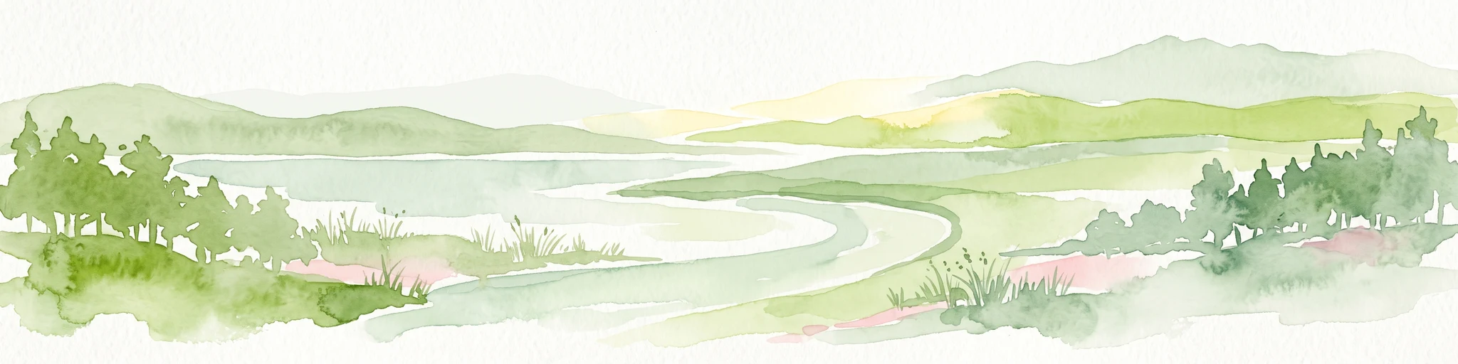
A horizontal watercolor illustration of a wetland scene with a calm body of water, grassy shorelines, and distant rolling hills under a soft sky.
Nature reserveLarnaca District
36 km away#5 closest

West

Alykes Larnakas Nature Reserve: Atlas of Protected Wetlands and Coastal Mediterranean Terrain

Ecological landscape mapping in the Larnaca District of Cyprus

Alykes Larnakas functions as a cohesive wetland landscape featuring the expansive Larnaka Salt Lake alongside smaller basins like Orfani and Soros. The reserve protects a gradient of ecosystems ranging from coastal lagoons and salt-crust basins to Mediterranean phrygana and dry grassland textures that define the southeastern coast of Cyprus.

Area
15.602 km²
Established
2008
Protected areaCyprus
40 km away#6 closest

West

Ethniko Dasiko Parko Rizoelias: A Natura 2000 Protected Area and Mediterranean Habitat Mosaic

Ecological geography and landscape context in inland Cyprus

Ethniko Dasiko Parko Rizoelias represents a significant conservation effort in Cyprus, balancing rare gypsophilous vegetation with Mediterranean shrubland. Its triple Natura 2000 status protects 34 bird species and reptile communities within a compact, structurally diverse terrestrial environment.

Area
1.238 km²
Established
2004
Relief
Lowland
Climate
Mediterranean
Protected areaTajikistan
About 45 km away#7 closest

West

Periochi Moytti Toy Ziou: Protected Landscape and Geographic Overview in Tajikistan

Mapped boundaries and regional protected area context

Discover the geographic identity of Periochi Moytti Toy Ziou, a key protected area situated in Tajikistan. This entry provides essential mapping and landscape data to help visualize the park's boundaries, surrounding terrain, and its contribution to regional conservation geography.

Area
0.181 km²
Relief
Lowland
Scope
Terrestrial
Water
Minor water
Nature reserveCyprus
47 km away#8 closest

West

Periochi Lympion - Agias Annas: Inland Protected Landscapes and Nature Reserve Atlas

Mediterranean shrubland and bird conservation zones in central Cyprus

Periochi Lympion - Agias Annas preserves essential thermo-Mediterranean shrubland and Sarcopoterium-dominated phrygana formations within the Cyprus interior. This protected landscape sustains a mosaic of pseudo-steppe grasslands and diverse bird populations, providing a focused view of inland habitat conservation within the eastern Mediterranean ecoregion.

Area
5.167 km²
Established
2002
Relief
Lowland
Scope
Terrestrial
MoriAtlas Explorer

Deepen Your Geographic Understanding of Kavo Gkreko and the Famagusta Coast

Examine the precise mapped boundaries and ecological characteristics of this significant Mediterranean promontory. MoriAtlas provides a structured view of the coastal terrain and marine habitats that form the core of the Kavo Gkreko protected area. Use these resources to better understand the landscape context of this essential eastern Cyprus landmark.

Global natural geography