
Mori Atlas logo
Park guides

Focused insights for planning visits to Thailand's first coastal limestone karst protected area.

Expert Guides and Geographic Resources for Khao Sam Roi Yot National Park, Thailand

Access essential planning resources for Khao Sam Roi Yot National Park, featuring expert analysis on seasonal visitation and the park's dramatic coastal geography. These focused guides provide clarity on the limestone karsts, wetland systems, and coastal landscape characteristics that define this significant Thai protected area.

Related tags

Coastal National ParkLimestone KarstWetlandsMangrove ForestRamsar Site

Thailand's first coastal national park protecting limestone peaks, marshes, and a historic cave temple

Khao Sam Roi Yot National Park

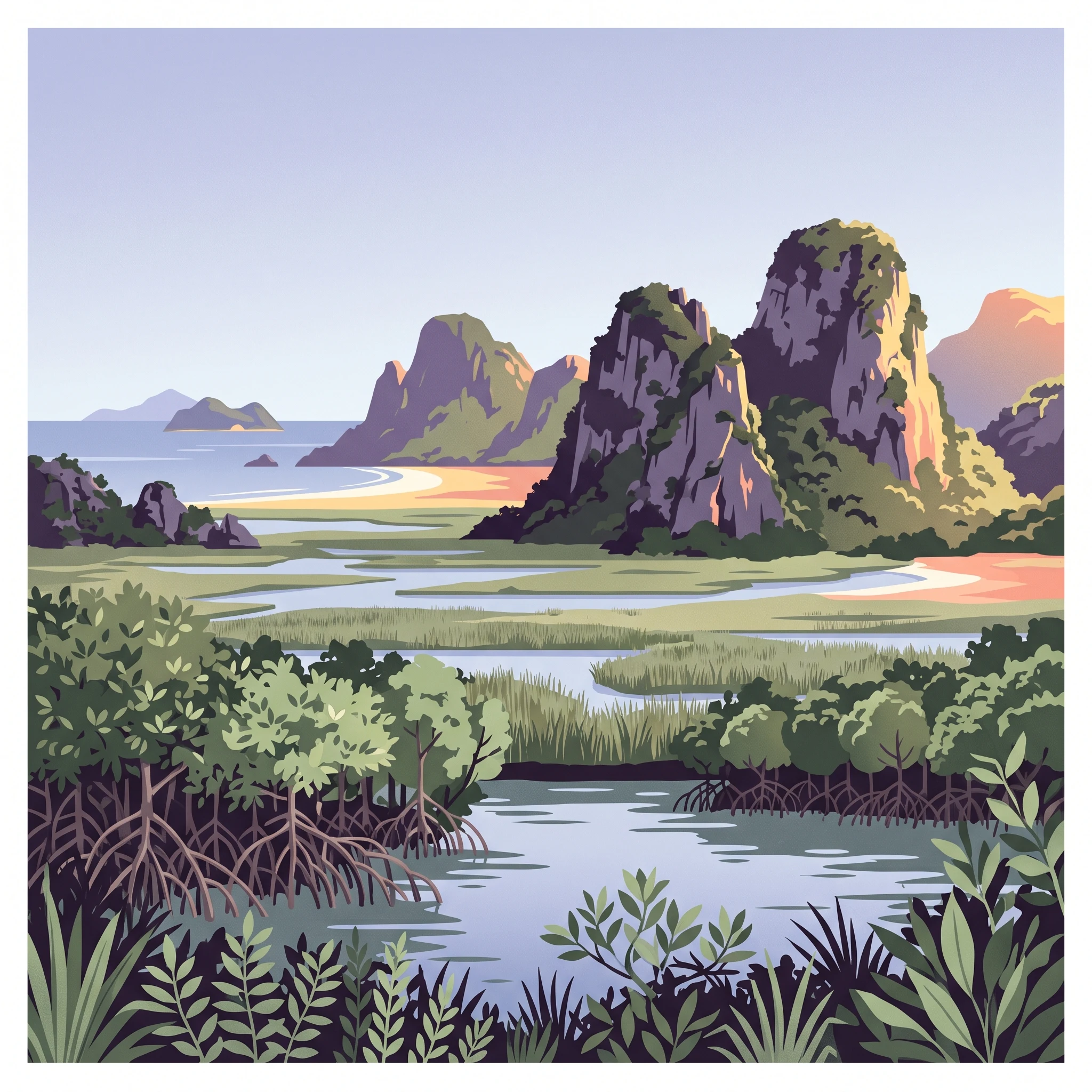
Khao Sam Roi Yot National Park stands as a landmark in Thailand's conservation history as the first coastal national park established in the country. Located along the eastern shore of the Gulf of Thailand in Prachuap Khiri Khan Province, the park encompasses a remarkable diversity of landscapes within its 98 square kilometer boundary. The limestone hills that form the park's backbone represent a southern extension of the Tenasserim Hills, their jagged peaks creating a distinctive silhouette against the tropical sky. Between these hills lie extensive freshwater marshes, though significant portions have been converted to shrimp farms, highlighting ongoing tensions between conservation and development. The park's marine component includes coastal waters, two scenic beaches, and five uninhabited offshore islands that provide important habitat for seabirds and marine life. The park's accessibility from popular resort destinations like Hua Hin makes it a frequently visited protected area, with approximately 165,000 annual visitors exploring its trails, beaches, and caves. Beyond its natural significance, the park holds archaeological importance following the 2020 discovery of 3,000-year-old cave paintings in unmapped caverns within the limestone formations.

Location
Thailand
Park type
National park
Established
1966
Area
98 km²
Highest point
605 m
Khao Sam Roi Yot National Park Protected Area
1 guide

Compare available seasonal topics and planning themes for the protected landscape

Published Guides and Regional Resources for Khao Sam Roi Yot National Park

Browse the complete collection of published guides for Khao Sam Roi Yot National Park to examine key seasonal details such as cooler months, humidity levels, and rainfall patterns. Each focused resource addresses specific planning questions regarding regional weather trends and optimal visiting periods.
MoriAtlas Explorer

Continue exploring the geographic and mapped landscape of Khao Sam Roi Yot National Park

Delve deeper into the specific geography and protected landscape characteristics of Khao Sam Roi Yot National Park. Understanding its position within Prachuap Khiri Khan Province enriches your atlas exploration of Thailand's protected areas. Continue to trace the mapped boundaries and regional natural context that define this important national park, providing essential geographic knowledge.