

Streams
Park geography
Analyzing the physical terrain, mountain elevations, and diverse regional landscape features
Comprehensive Geographic Profile and Mapped Boundaries of Kosciuszko National Park
This geographic dataset provides a structured overview of the physical extent and land profile of Kosciuszko National Park in New South Wales, Australia. It details the 6900 square kilometer protected area including its mountain elevations reaching 2228 meters, hydrological features, and forest cover types. The record serves as a primary reference for the park boundary, surface span, and environmental classification.
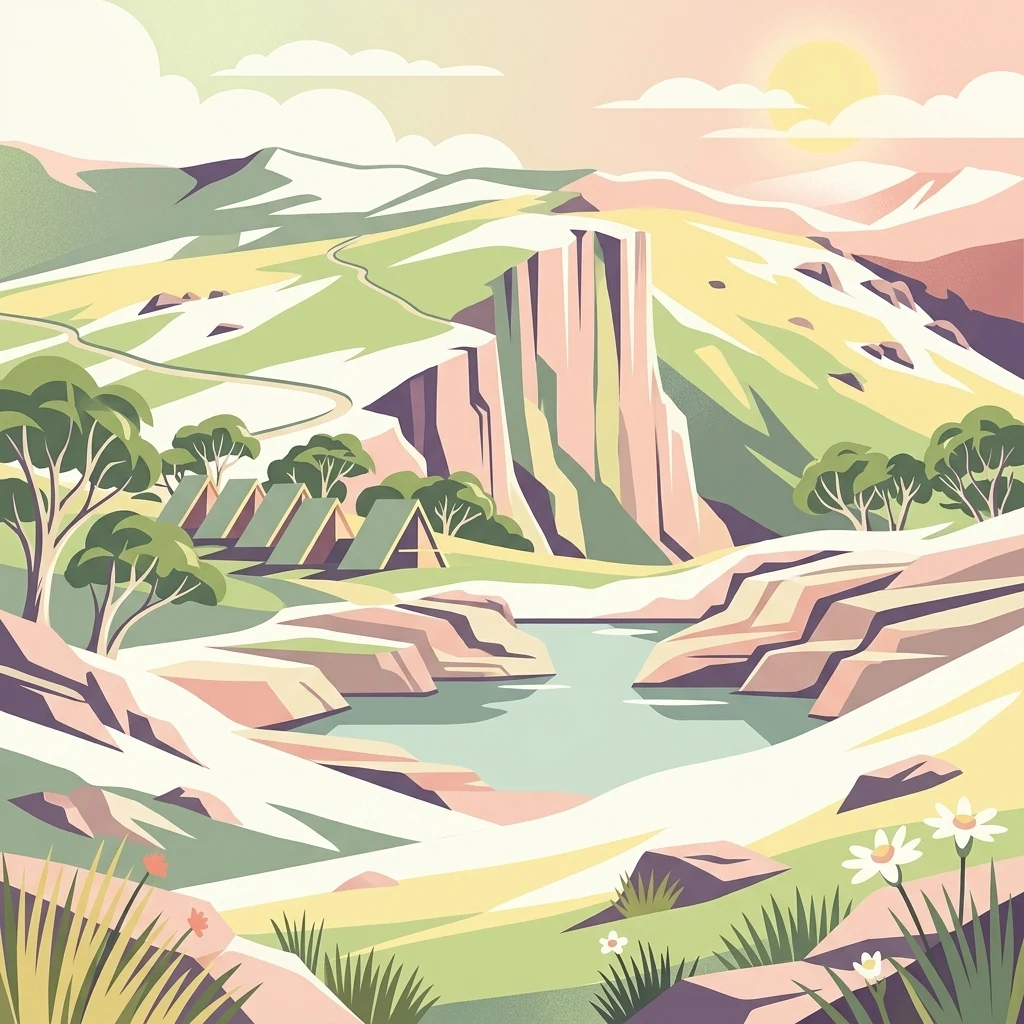
Australia's alpine heartland, protecting the continent's highest peaks and unique subalpine ecosystems
Kosciuszko National Park
Kosciuszko National Park is a vast protected area spanning approximately 6,900 square kilometres in the southeastern corner of New South Wales, Australia. The park contains mainland Australia's highest peak, Mount Kosciuszko, standing at 2,228 metres above sea level, as well as the highest town in Australia, Cabramurra. This mountainous wilderness is characterized by an alpine climate that supports distinctive ecosystems found nowhere else on the continent, making it one of Australia's most significant natural heritage areas. The park forms part of a larger contiguous network of protected alpine areas including Victoria's Alpine National Park to the south and the Australian Capital Territory's Namadgi National Park to the northeast, creating a transboundary conservation corridor of national importance.
- Location
- Australia
- Park type
- National park
- Established
- 1944
- Area
- 6,900 km²
- Highest point
- 2,228 m
Location overview
Territorial positioning and regional status within New South Wales
Kosciuszko National Park Geographic Location and Regional Setting
Kosciuszko National Park is situated within New South Wales, Australia. The terrestrial, non-coastal reserve is managed under a single jurisdiction without transboundary or marine zones.
- Countries
- Australia
- Regions
- New South Wales
- Primary location
- New South Wales
- Geographic setting
- Inland
Boundary and coordinates
Kosciuszko’s mapped park extent spans 6,900 km²
Kosciuszko National Park mapped boundary and 6,900 km² area
Kosciuszko National Park is represented by geometry spanning its recorded 6,900 km². The atlas outline conveys the national park’s extensive spatial presence without defining survey-grade legal limits.
- Boundary area
- 6,889.5 km²
- Boundary perimeter
- 1,796.6 km
- Northernmost point
- 35.3361° S
- Southernmost point
- 37.0259° S
- Easternmost point
- 148.8451° E
- Westernmost point
- 148.0375° E
- Geographic centre
- 36.1576° S, 148.438° E
- North–south span
- 187.5 km
- East–west span
- 72.7 km
Elevation and terrain
Explore recorded ridges, streams, and maximum mountain heights across the protected landscape
Kosciuszko National Park Elevation Profile and Mountain Terrain Geography
Recorded park elevations reach a maximum height of 2228 meters across rugged mountain terrain. Individual feature cards detail names, types, and spatial relationships for ridges, streams, and viewpoints located within the protected area.
- Maximum elevation
- 2,228 m
- Highest point
- 2,228 m
Selected named natural features
Peaks
Mount Bramina
1,398 m
Streams
Coe Creek
Streams
Spring Creek
Wetlands
Finns Swamp
Streams
Wallaces Creek
Environmental setting
Alpine climate zones, mountain relief, and mapped habitat types
Kosciuszko National Park Environmental Classification and Physical Setting
Recorded landscape features, habitat types, and seasonal classifications provide complementary ways to read the physical setting of Kosciuszko National Park. Categories link directly to relevant atlas destinations to support structured regional geography exploration.
- Relief
- Mountain
- Climate
- Alpine
- Water
- Major water bodies
- Forest cover
- Partial forest
- Seasonality
- Seasonal
Landscape features
Mountains · Valleys · Lakes · Rivers · Waterfalls · Cave · Glacier · Cliffs
Habitat types
Temperate broadleaf forest · Temperate coniferous forest · Montane forest · Alpine meadow · Grassland · Wetland
Park atlas
Extend your alpine exploration, tracing the regional geography of protected areas and diverse landscapes adjacent to Kosciuszko National Park.
Discover Nearby National Parks and Alpine Protected Areas Beyond Kosciuszko National Park
Explore national parks and protected areas within the broader Australian Alps region, identifying sites with shared alpine ecosystems and glacial terrain comparable to Kosciuszko National Park. Review these adjacent conservation landscapes to understand their interconnected geography, compare their unique features, and plan your next protected area discovery.
National parkAustralia
Park boundaries overlap#1 closest
Southwest

Alpine National Park: Victoria's Expansive National Park in the Great Dividing Range
Mapping significant alpine, subalpine, and mountain wilderness landscapes.
Alpine National Park represents Victoria's largest protected area, safeguarding critical alpine and subalpine environments across the Great Dividing Range. This national park encompasses vast mountainous terrain, including Victoria's highest peaks like Mount Bogong, and the expansive Bogong High Plains known for their unique grassland and woodland ecosystems. The park's protected landscape offers rich opportunities for geographic discovery and understanding its place within Australia's significant mountain wilderness regions.
- Area
- 6,474 km²
- Established
- 1989
- IUCN
- II
- Relief
- Mountain
National parkAustralian Capital Territory
Park boundaries overlap#2 closest
Northeast
Namadgi National Park: Protected Landscape and Geographic Context in Australian Capital Territory
Explore the mapped boundaries and regional geography of this national park.
Namadgi National Park is a designated national park situated in the Australian Capital Territory. This dedicated page offers detailed information on its protected status, geographic features, and its role within the regional landscape atlas of Australia. Dive into the mapped terrain and understand the park's environmental significance and its contribution to the conservation landscape of the Australian Capital Territory.
- Area
- 1,060.95 km²
- Established
- 1984
- IUCN
- II
- Relief
- Mountain
Nature reserveNew South Wales
About 1.3 km away#3 closest
Northeast
Bimberi Nature Reserve: Geographic Overview and Protected Alpine Terrain in New South Wales
High-country forests and Brindabella Range summits
Bimberi Nature Reserve represents a strategic conservation anchor within the Australian Alps. Covering a rugged stretch of the Brindabella Range, this reserve features significant elevation transitions from sheltered eucalypt forests to exposed subalpine zones. It remains a key point of reference for understanding the connectedness of protected landscapes bridging New South Wales and the Australian Capital Territory.
- Area
- 108.68 km²
- Established
- 1985
- IUCN
- II
- Relief
- Mountain
National parkNew South Wales
3 km away#4 closest
Northeast
Brindabella National Park: A Protected Mountain Landscape in New South Wales' Australian Alps
Discover its mapped terrain and regional geographic context.
Brindabella National Park offers a unique perspective on the mountainous terrain of the Brindabella Range, forming a vital protected area within the Australian Alps. Located in New South Wales, its landscape features rugged ridgelines and diverse subalpine vegetation, recognized for its national environmental significance. This park serves as a key destination for understanding protected area geography and the mapped context of Australia's high country.
- Area
- 184.54 km²
- Established
- 1996
- IUCN
- II
- Relief
- Mountain
Nature reserveNew South Wales
About 6.8 km away#5 closest
Northeast
Scabby Range Nature Reserve: A Detailed Look at High Country Protected Landscapes and Terrain
Granite wilderness and subalpine ecology near the New South Wales border.
This reserve protects a dramatic 48 square kilometre block of the Kosciusko Uplands. Featuring boulder-strewn slopes, sphagnum-rich sedgelands, and tall montane eucalypt forests, the area represents a key node within the Australian Alps. Gain insight into the varied lithology and alpine flora that define this important nature reserve, from its granite pavements to the panoramic views at Mount Kelly.
- Area
- 48.72 km²
- Established
- 1982
- IUCN
- Ia
- Relief
- Mountain
National parkAustralia
About 13 km away#6 closest
Northeast
North East Island National Park: Australia's Protected Landscape Identity and Map Context
Discover mapped park boundaries and regional geographic setting.
North East Island National Park stands as a key protected area within Australia, offering users a detailed view of its geographic and landscape characteristics. This entry focuses on its designation as a national park, providing essential context for atlas-based exploration. Understand the specific mapped region and protected land attributes that contribute to its unique environmental geography, fostering a deeper appreciation for its place within the Australian continent.
National parkAustralia
14 km away#7 closest
South
Snowy River National Park: A Deep Gorge Protected Landscape in Victoria, AU
Explore mapped terrain and vital alpine wilderness boundaries.
Snowy River National Park showcases Victoria's rugged natural geography with its dramatic mountain terrain and the spectacular Little River Gorge, the state's deepest. This national park, classified as a wilderness area for much of its expanse, protects critical habitats and diverse ecosystems across its mapped boundaries. Its significance as a protected landscape within the Australian Alps National Parks makes it a key destination for understanding regional geography and conservation efforts.
- Area
- 987 km²
- Established
- 1979
- IUCN
- II
- Relief
- Mountain
Nature reserveAustralian Capital Territory
About 15 km away#8 closest
Northeast
Tidbinbilla Nature Reserve Protected Area: Landscape and Geographic Context
A vital conservation valley in the Australian Capital Territory
Tidbinbilla Nature Reserve functions as a significant ecological anchor on the fringe of the Australian Capital Territory. Defined by the contrast between deep valley basins and steep escarpments, this nature reserve integrates long-standing Aboriginal heritage with ongoing conservation programs for native wildlife in a rugged bushland environment.
- Area
- 54.5 km²
- Established
- 1971
- IUCN
- II
- Relief
- Mountain
MoriAtlas Explorer
Continue exploring Kosciuszko National Park's alpine terrain and mapped geography
Deepen your understanding of Kosciuszko National Park by examining its detailed geographic context and protected landscape features. Explore its role within Australia's alpine atlas, tracing the distribution of its unique terrain and conservation significance. This is your gateway to structured discovery of the continent's highest natural environments and their mapped boundaries.
Browse next
Global natural geography
Explore related park routes
Explore MoriAtlas Global ParksBrowse All MoriAtlas ParksGlobal Park Map DiscoveryMoriAtlas: Browse All CountriesBrowse All MoriAtlas ContinentsNational Park Environment AtlasGrand Canyon National Park AtlasYellowstone National Park AtlasYosemite National Park Atlas and GeographySerengeti National Park AtlasGalápagos National Park Protected LandscapeBanff National Park Geography and AtlasKruger National Park Atlas EntryUluṟu-Kata Tjuṯa National Park AtlasExplore Uluru-Kata Tjuta National Park GeographyPlitvice Lakes National Park AtlasFiordland National Park Protected LandscapeGreat Smoky Mountains National Park AtlasAfghanistan National Parks and Protected AreasAlbania National Parks and Protected AreasAlgeria National Parks and Protected AreasAmerican Samoa National Parks and Protected AreasAndorra National Parks and Protected AreasAngola National Parks and Protected AreasAntarctica National Parks and Protected AreasAntigua and Barbuda Park List