Mori Atlas logo
Park earthquake history

Explore a structured catalogue of seismic events recorded near this Fiordland protected marine environment.

Historical Earthquake Records for Kutu Parera (Gaer Arm) Marine Reserve in Fiordland

This collection provides a comprehensive view of historical earthquakes associated by distance with the Kutu Parera (Gaer Arm) Marine Reserve. Users can review individual event data including recorded magnitudes, depths, and proximity calculations to understand the seismic context surrounding this Fiordland reserve. The catalogue relies on external geological data to organize past activity identified near the marine environment without implying hazard levels or predictive risks.

A stylized vector illustration of a mountainous landscape with a waterfall cascading down a cliff into a winding river, surrounded by pine forests.

A Fiordland marine reserve protecting layered fiord ecosystems, reef walls, and culturally significant waters.

Kutu Parera (Gaer Arm) Marine Reserve

Kutu Parera (Gaer Arm) Marine Reserve is a 433-hectare marine reserve located at Gaer Arm in the Bradshaw Sound of Fiordland, on New Zealand's South Island. Established in 2005 and administered by the Department of Conservation, the reserve protects a distinctive Fiordland marine environment defined by steep-walled fiords, layered water columns, and tidal river estuaries. The reserve's ecological character is shaped by the surrounding mountains, whose heavy rainfall produces a thin freshwater layer over deeper seawater within the fiord. This stratified underwater setting supports a mix of estuarine flats, seagrass beds, rocky reef habitats, and dramatic vertical rock walls. It also encompasses part of the estuary of the Camelot River and provides habitat for locally important populations of cockles and pipi in the Doubtful Sound system. Beyond its ecological significance, the reserve carries strong cultural meaning through its Māori name, Kutu Parera, which references the ancient iwi Kāti Hāwea. It forms an important element of the wider Fiordland Marine Guardians conservation strategy and offers tightly regulated opportunities for diving, research, and public enjoyment of one of New Zealand's most remote coastal landscapes.

Location
New Zealand
Park type
Marine protected area
Established
2005
Area
4.3 km²
Explore Kutu Parera (Gaer Arm) Marine Reserve

Search Kutu Parera (Gaer Arm) Marine Reserve records by distance

Review earthquakes near Kutu Parera (Gaer Arm) Marine Reserve

Kutu Parera (Gaer Arm) Marine Reserve’s earthquake view positions reported epicentres around its Fiordland waters through calculated reserve distance, not through the steep-sided fiord, mountain setting, or marine habitats. Each entry provides a date, magnitude, depth, locality, source, and distance for historical comparison without attributing ecological effects, present hazard, or future activity.

Sort by
Magnitude
Location

This page describes catalogued earthquakes associated with the park by epicentre location and distance. It does not establish causation, assess current danger, or predict future earthquakes.

No earthquake records match the current filters

Park atlas

Move past Kutu Parera (Gaer Arm) Marine Reserve earthquake data

Discover other parks beyond Kutu Parera (Gaer Arm) Marine Reserve

After the Kutu Parera (Gaer Arm) Marine Reserve earthquake record, an independent group offers other protected destinations. Their inclusion does not imply shared marine settings, reserve status, geological context, seismic observations, proximity, hazard conditions, risk, or matching documentation.
National parkSouthland Region
Park boundaries overlap#1 closest

East

Fiordland National Park: A Protected Landscape of Glacier-Carved Fiords and Alpine Wilderness

Explore its vast boundaries and unique temperate rainforest.

Fiordland National Park, located in the Southland Region of New Zealand, is a testament to dramatic geological forces, featuring fifteen major fiords like Milford Sound, whose Mitre Peak rises majestically from the water. This protected national park encompasses an immense wilderness of alpine terrain, ancient beech forests, and numerous waterfalls, fueled by exceptional rainfall. Its inclusion in the Te Wāhipounamu World Heritage Area underscores its global significance for biodiversity and natural landscape preservation.

Area
12,607 km²
Established
1952
IUCN
II
Visitors
500K annual
Marine protected areaFiordland
10 km away#2 closest

South

Taipari Roa (Elizabeth Island) Marine Reserve: Fiordland Marine Landscape and Atlas Map

Protected marine terrain and glacial fjord geography

Taipari Roa (Elizabeth Island) Marine Reserve is a protected marine area situated within the complex fjord network of Doubtful Sound. The reserve is characterized by steep underwater rock walls, deep kelp forests, and a unique freshwater cap that allows rare corals and glass sponges to thrive at shallow depths. This geographic overview examines the reserve's protected status and its structural role within the broader Fiordland ecosystem, highlighting the vertical aquatic terrain and surrounding islet environments.

Area
6.13 km²
Established
2005
Relief
Lowland
Climate
Temperate
Marine protected areaFiordland
14 km away#3 closest

North

Kahukura (Gold Arm) Marine Reserve: Marine Protected Area and Fiordland Geographic Atlas

Submerged rocky reefs and vertical rock wall landscapes

Located in the heart of New Zealand, Kahukura (Gold Arm) Marine Reserve provides a vital map of protected coastal terrain. Its unique environment features freshwater caps, tannin-stained deep water, and diverse marine topography ranging from sheltered basin ecosystems to vertical cliff structures. This marine area offers deep insight into the complex geology and conservation dynamics of the Fiordland region.

Area
4.64 km²
Established
2005
Relief
Mixed relief
Climate
Temperate
Marine protected areaFiordland
35 km away#4 closest

Southwest

Moana Uta (Wet Jacket Arm) Marine Reserve: Mapped Protected Landscapes in Fiordland

Exploring unique fiord stratification and dense marine coral habitats

Located in the remote southwestern reaches of New Zealand, Moana Uta (Wet Jacket Arm) Marine Reserve preserves a complete fiord system. The area is notable for its exceptional physical conditions, including high black coral density and a distinct freshwater surface layer that sustains diverse underwater communities across steep rock walls, reefs, and deep basins.

Area
20.07 km²
Established
2005
Relief
Lowland
Climate
Temperate
Marine protected areaFiordland
58 km away#5 closest

Northeast

Hawea (Clio Rocks) Marine Reserve: Protected Marine Geography in Fiordland, New Zealand

Mapping vertical rock walls and stratified fiord water ecosystems.

Hawea (Clio Rocks) Marine Reserve is an ecologically significant marine protected area situated within the deep waters of Hāwea / Bligh Sound. The reserve is defined by its dramatic vertical rock walls, tidal current channels, and the complex water stratification that sustains diverse black coral and reef communities. It offers a unique window into the geological and marine processes that have shaped the rugged coastal landscape of New Zealand's Fiordland.

Area
4.11 km²
Established
2005
IUCN
Ia
Relief
Mountain
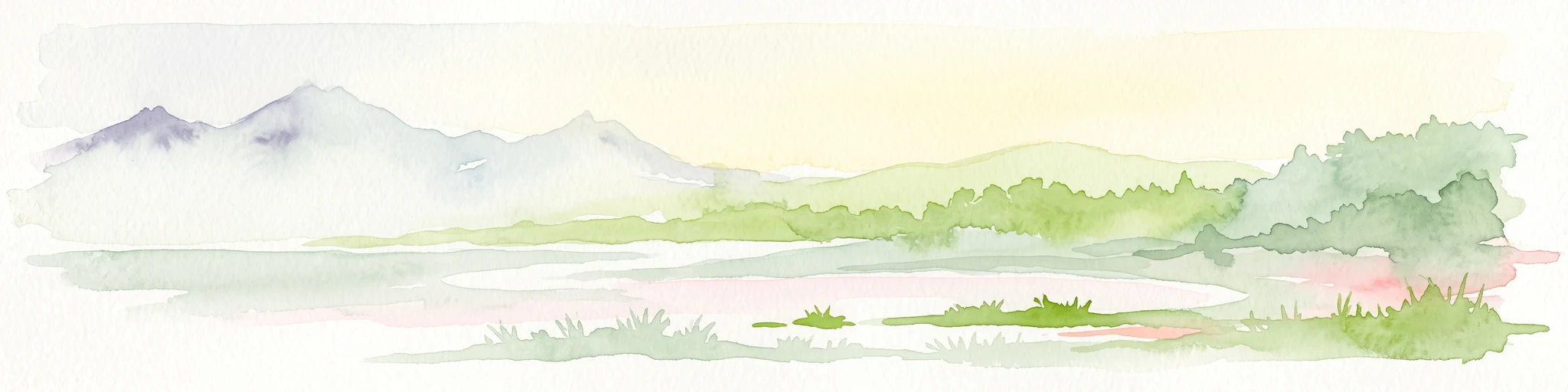
A soft watercolor painting depicting a calm shoreline with rolling hills in the background under a pale sky.
Marine protected areaFiordland
91 km away#6 closest

Northeast

Piopiotahi (Milford Sound) Marine Reserve: Mapped Protected Area and Fiord Geography

A signature marine landscape within New Zealand's Fiordland region.

Piopiotahi (Milford Sound) Marine Reserve protects a distinct underwater environment characterized by dramatic vertical rock walls and deep basins. By examining the geographic boundaries and oceanographic layering of this Fiordland site, users can better understand the interplay between the steep forested cliffs above and the thriving coral and marine wildlife habitats below the surface.

Area
6.9 km²
Established
1993
Relief
Mountain
Climate
Temperate
National parkOtago
100 km away#7 closest

Northeast

Mount Aspiring National Park: Glaciated Alpine Wilderness & Protected Landscape Atlas

Explore the U-shaped valleys and mapped boundaries of this iconic national park.

Mount Aspiring National Park showcases a breathtaking glacial landscape defined by steep-sided U-shaped valleys, active glaciers, and soaring alpine summits. As a designated national park within New Zealand's South Island, its protected status preserves a vast area of wilderness crucial for understanding regional geography and alpine terrain. This page provides an atlas-style exploration of its mapped boundaries and the stark, natural beauty that characterizes this significant conservation landscape in the Otago region.

Area
3,562 km²
Established
1964
IUCN
II
Relief
Mountain
National parkNew Zealand
159 km away#8 closest

South

Rakiura National Park: New Zealand's Remote Protected Wilderness & Landscape Atlas

Explore its rugged terrain and unique subantarctic ecosystem.

Rakiura National Park encompasses the majority of Stewart Island, offering a unique glimpse into one of New Zealand's most remote and undisturbed natural environments. This protected landscape features rugged forested hills, extensive coastlines with isolated beaches, and is globally recognized for its abundant kiwi populations. Discover the park's geographic setting and its significance as a protected area for both wildlife and cultural heritage within the broader atlas of New Zealand's natural wonders.

Area
1,399.6 km²
Established
2002
IUCN
II
Relief
Lowland
MoriAtlas Explorer

Explore the Marine Geography of Kutu Parera (Gaer Arm) Marine Reserve

Deepen your understanding of New Zealand's protected coastal zones by examining the specific underwater terrain of Kutu Parera (Gaer Arm) Marine Reserve. Use MoriAtlas to trace the mapped boundaries, stratified water columns, and mountain-framed coastal features of this critical Fiordland marine protected area, enhancing your knowledge of southern regional geography and its unique aquatic wilderness.