
Mori Atlas logo
Nature reserveLandecker Berg

Discover the geologic character of this Rhön mountain plateau and its forested limestone terrain.

Landecker Berg Protected Landscape and Nature Reserve in the Hessen Region of Germany

Landecker Berg stands as a significant table mountain in the northern Kuppenrhön, characterized by its wide Muschelkalk limestone plateau and extensive beech forest cover. Situated within the Hessian district of Hersfeld-Rotenburg, this nature reserve forms a critical element of the regional watershed and the wider Rhön mountain geography. Researchers and enthusiasts can examine the mountain's structural boundaries, volcanic geological history, and its protected status as part of the UNESCO-recognized biosphere core zone.

RhönKuppenrhöntable mountainMuschelkalkbeech forestUNESCO biosphere reserve
A flat vector-style illustration of a mountainous valley featuring a waterfall on the left, a small village of buildings in the center, and a distant snow-capped peak under a soft sky.

Landecker Berg

Nature reserve

Park overview

Structured park overview, official facts, and landscape profile for Landecker Berg

Landecker Berg park facts, protected area profile, and essential visitor context

Review the core facts for Landecker Berg, including designation, size, terrain, visitor scale, habitats, and operating context in one park-focused overview.

About Landecker Berg

Landecker Berg is a forested table mountain in the northern Kuppenrhön, the basalt-and-limestone-dominated sub-range of the Rhön that gives the region much of its distinctive skyline of rounded domes and flat plateaus. With its summit at 510.9 m above sea level, it sits at the very edge of the Rhön massif where the highlands begin to give way to the rolling country of the Fulda and Werra valleys. The mountain's surface area extends roughly 4.5 km from north to south and about 2 km from west to east, and large parts of that expanse are cloaked in dense beech forest that has become one of its defining visual features.

The mountain is shared administratively by three Hessian communities: Schenklengsfeld, whose main settlement lies against its southwestern flank; Friedewald, whose hilltop village Hillartshausen climbs toward it from the northwest via the Dreienberg; and Hohenroda, whose villages of Ausbach and Ransbach frame the eastern side. The Landecker Berg and its slightly lower northern neighbor, the Dreienberg, together form a section of the watershed between the Fulda and Werra river basins; streams born on the west slope flow toward the Fulda, while those on the east flank drain into the Werra. The mountain is part of the Rhön Biosphere Reserve and lies within a core zone recognized by UNESCO in 1991.

Because the Landecker Berg is not served by paved roads across its slopes, visitors are funneled onto forest paths and walking trails, including the Friedewald to Soisberg leg of the European long-distance path E6. This pedestrian-scale access has helped preserve both the beech woodlands and the open meadow and spring communities on the eastern flank, which are now protected as both a Natura 2000 FFH site and a separate Hessian nature reserve.

Quick facts and research context for Landecker Berg

Landecker Berg is a 510.9 m table mountain in the Kuppenrhön subrange of the Rhön, located in Hesse, Germany, within the Landkreis Hersfeld-Rotenburg. It lies inside a core zone of the UNESCO Rhön Biosphere Reserve, and its forested slopes have been part of the European Natura 2000 network since 1997 as the FFH site Landecker Berg bei Ransbach. The eastern flank has carried separate nature reserve status since 1992, including a 65.5 ha core zone of near-natural beech woodland and a 38.9 ha management zone of open habitats.

Protection and recognition

Terrestrial conservation management scope and international recognition records

Landecker Berg Protection Status and 1991 Designation History

Landecker Berg maintains a documented terrestrial protection status established in the designated year of 1991. Review the formal conservation history, management scope, and verified international recognition records for this protected landscape.

Protection details

Protection scope
Terrestrial
Designated year
1991
Transboundary protection
No
Core area
0.66 km²
Park context

Deeper park guide and search-rich context for Landecker Berg

Landecker Berg history, landscape, wildlife, and travel context

Explore Landecker Berg through its history, landscape character, ecosystems, wildlife, conservation priorities, cultural context, and seasonal travel timing in a structured park guide built for atlas discovery and search intent.

Why Landecker Berg stands out

Landecker Berg is best known for its classic Rhön table-mountain profile, its extensive beech forest cover, and its position as one of the northernmost peaks of the Kuppenrhön. It is closely associated with the Burgruine Landeck on a southwestern spur and with the FFH-Gebiet Landecker Berg bei Ransbach on its eastern side.
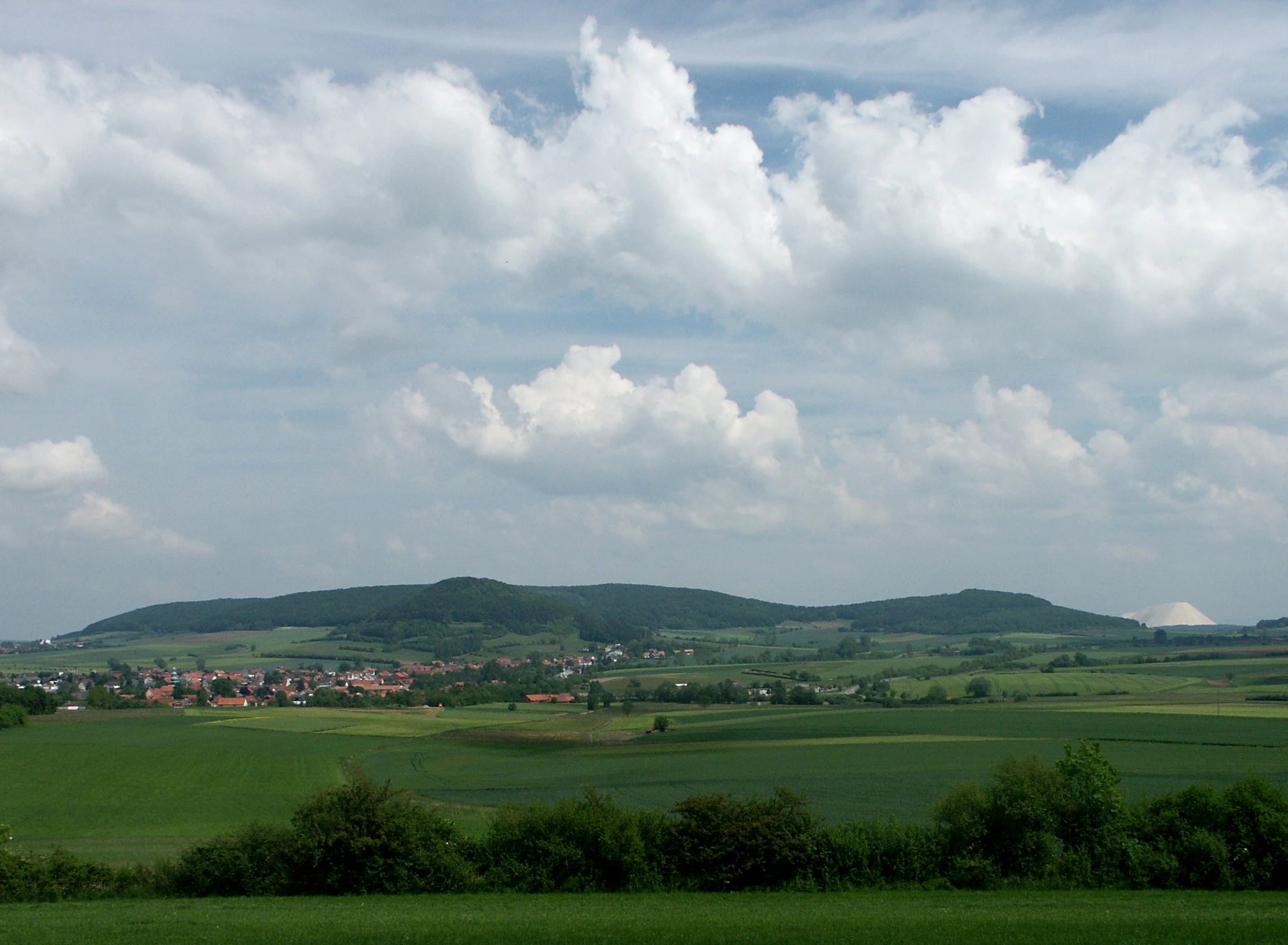
A wide-angle landscape photograph showing the gentle, forested slopes of Landecker Berg in the distance, framed by open green fields and a small village in the midground under a partly cloudy sky.
A wide view of Landecker Berg rising above the surrounding agricultural landscape.

Landecker Berg history and protected-area timeline

The Landecker Berg's most prominent historical footprint is the Burgruine Landeck, a ruined hilltop castle perched on a southwestern spur overlooking the village of Oberlengsfeld. The castle itself is the clearest surviving trace of medieval land-use patterns on the mountain, when the fortified ridge commanded the routes between the Fulda and Werra valleys.

The mountain's modern conservation history began in 1991, when UNESCO recognized the Rhön as a biosphere reserve, placing the Landecker Berg within a designated core zone. In 1992 the eastern flank received formal Hessian nature reserve status, protecting both its wooded and open habitats; the protection order was updated and renewed in 2013. The entire forested area and its margins were listed as the FFH-Gebiet Landecker Berg bei Ransbach under the European Natura 2000 network in 1997, anchoring the mountain into the broader European system of protected sites.

Landecker Berg landscape and geographic character

Landecker Berg is a textbook Tafelberg, or table mountain, with a wide, relatively flat summit plateau rather than a single pointed peak. The highest point sits in the northern part of the plateau, and a long eastern spur at about 435 m extends out toward the valley between Ausbach and Ransbach. To the southwest, a separate spur carries the ruins of Burg Landeck above Oberlengsfeld, while a foothill called the Kreuzberg (457.2 m) stands in front of the main massif to the south, separated by a saddle at around 432 m.

The mountain is built from Triassic Muschelkalk limestone, with an Upper Wellenkalk cap forming the plateau surface and a Lower Wellenkalk layer wrapping the flanks. Beneath the limestone lies Buntsandstein, the older red sandstone that was arched upward together with its Muschelkalk cover during Miocene volcanic activity, the same geological episode that produced the basalt domes and Kuppen characteristic of the surrounding Rhön. The dense beech forest that covers most of the slopes gives the mountain a continuous, dark-green mantle in summer and forms a striking contrast with the open meadows and spring mires on parts of the eastern flank.

Landecker Berg ecosystems, habitats, and plant life

The natural character of Landecker Berg is shaped by the interplay of calcareous soils, dense deciduous forest, and small open habitats on the eastern slopes. Large tracts of the mountain are covered by near-natural beech woodland, which forms the matrix of the protected areas here and supports the typical fauna associated with mature Hessian limestone-beech forests.

On the eastern flank, the protected area combines this forest core with open habitats. There are lime-rich seepage spring mires (Kalkquellsumpfgebiete) and dry calcareous grasslands (Kalkmagerrasen), along with structurally rich meadows, shrubs, hedges, and woodland edges. These open communities concentrate much of the area's botanical and invertebrate diversity and are maintained through active management, so the mountain effectively functions as a small-scale mosaic of forest, spring, and grassland habitats rather than a single uniform ecosystem.

Landecker Berg wildlife and species highlights

The wildlife profile of Landecker Berg reflects its mix of closed beech forest and open calcareous habitats. The mature woodland provides habitat for forest fauna typical of Hessian limestone beech stands, while the management zone on the eastern flank supports species associated with calcareous grasslands, hedge complexes, and lime-rich spring mires. The overall effect is a small but ecologically varied area where forest and open-ground fauna occur in close proximity.

Landecker Berg conservation status and protection priorities

Landecker Berg sits inside a core zone of the UNESCO Rhön Biosphere Reserve, established in 1991, giving it formal recognition at the international level. Its eastern flank has been a Hessian nature reserve since 1992, covering 104.4 ha subdivided into a 65.5 ha core zone of near-natural deciduous forest and a 38.9 ha management zone of open habitats. The legal protection order was updated and renewed in 2013.

In 1997 the mountain's forest area and margins were additionally designated as the FFH-Gebiet Landecker Berg bei Ransbach, integrating the site into the European Natura 2000 network of protected areas. The conservation approach allows the forest core to develop under natural dynamics, including disturbance and pioneer phases, with succession monitored scientifically, while management in the open zone actively preserves spring mires, calcareous grasslands, hedges, and meadows. Visitors may enter the core zone but do so at their own risk, reflecting the deliberately low-intervention regime.

Landecker Berg cultural meaning and human context

The most visible cultural marker on Landecker Berg is the Burgruine Landeck, a medieval ruined castle complex on a southwestern spur above the village of Oberlengsfeld. Its clifftop setting reflects the broader pattern of medieval fortifications in the Rhön, where castles were sited to oversee the trade and travel routes between the Fulda and Werra river valleys.

Beyond the ruin, the mountain's name itself preserves that medieval heritage: the Landecker Berg takes its title from the Burg Landeck, just as the surrounding villages reflect long-standing patterns of settlement in the Hersfeld-Rotenburg region. Historically, the Hersfelder Kreisbahn railway line once ran south of the mountain between Schenklengsfeld and Ransbach until 1989, marking the mountain as part of a regional transport corridor that has since been given over to walking and cycling routes.

Top sights and standout views in Landecker Berg

Landecker Berg combines the visual signature of the Kuppenrhön with unusually strong formal protection. It is one of the northernmost table mountains of the Rhön, a Triassic Muschelkalk plateau with extensive beech forest, and it carries multiple overlapping designations: a UNESCO biosphere reserve core zone, a Hessian nature reserve on its eastern flank, and an FFH site under Natura 2000. The ruins of Burg Landeck on a southwestern spur and a section of the European long-distance path E6 linking it to nearby peaks add a tangible cultural and hiking dimension to an otherwise strongly nature-focused site.

Best time to visit Landecker Berg

The Landecker Berg can be visited year-round, but late spring and early summer are particularly rewarding for the open habitats on the eastern flank, when the calcareous grasslands and spring mires around the management zone are most botanically active. Late spring and early autumn also offer mild conditions for the longer walks including the E6 section connecting Friedewald, the Dreienberg, and the Soisberg. In winter, the beech forest takes on a stark character, though snow and ice can make the narrower forest paths more demanding.


Monthly climate preview

Track monthly precipitation averages and multi-year weather trends across Hessen

Landecker Berg Climate Normals and Long-Term Temperature Patterns

Landecker Berg exhibits recorded monthly mean temperatures ranging from sub-zero winter lows to warm summer highs alongside consistent multi-year precipitation values. Reviewing the complete twelve-month climate profile reveals the long-term temperature progression and rainfall distribution for this protected area.
Annual mean8 °C
-1 °C18 °C
Jan-1°
Feb
Mar
Apr
May12°
Jun16°
Jul18°
Aug18°
Sep14°
Oct
Nov
Dec
Warmest month
July

18.3 °C

Coolest month
January

-1.1 °C

Wettest month
July

2.6 mm/day

Driest month
April

1.4 mm/day

Park location guide

Geography guide, regional context, and park location map for Landecker Berg

Landecker Berg park geography, regions, and map view in Germany

Understand where Landecker Berg sits in Germany through a broader geographic reading of the surrounding landscape, nearby location context, and its mapped position within the national park landscape.

How Landecker Berg fits into Germany

Germany is a federal republic in Western and Central Europe with a population of over 83 million across sixteen constituent states. It is Europe's largest economy by nominal GDP and a major global exporter and importer. The capital is Berlin, and the country borders Denmark, Poland, Czech Republic, Austria, Switzerland, France, Luxembourg, Belgium, and the Netherlands.

Wider geography shaping Landecker Berg in Germany

Germany is located in Western and Central Europe, spanning 357,022 km². It borders Denmark to the north, Poland and the Czech Republic to the east, Austria and Switzerland to the south, and France, Luxembourg, Belgium, and the Netherlands to the west. The country has coastlines on the Baltic Sea and North Sea to the north, with the Alps located in the southern region.

Map view of Landecker Berg

Use this park location map to pinpoint Landecker Berg in Germany, understand its exact geographic position, and read its mapped placement within the surrounding landscape more clearly.

Pigeon | © OpenStreetMap contributors

Location context for Landecker Berg

Hessen

Explore photographic records of beech forests, limestone plateaus, and protected terrain.

Landecker Berg Photos and Landscape Scenery: Visualizing the Rhön Table Mountain

Visual documentation captures the distinctive table mountain topography and dense beech woodlands defining Landecker Berg. Examining field photographs helps researchers evaluate protected habitats, forest canopies, and regional landscape morphology.

A wide-angle landscape photograph showing the gentle, forested slopes of Landecker Berg in the distance, framed by open green fields and a small village in the midground under a partly cloudy sky.

Park atlas

Compare regional mountain geography and connected protected areas across the northern Rhön

Explore Parks Near Landecker Berg and Surrounding Protected Landscapes

Browse other parks near Landecker Berg to examine related limestone formations, extensive beech woodlands, and adjacent conservation zones. Comparing these surrounding natural areas reveals the broader geological and ecological patterns defining the regional landscape.
Nature reserveThuringia
About 8.2 km away#1 closest

Northeast

Werra bis Treffurt mit Zuflüssen: Protected River and Floodplain Network in Thuringia

Mapping an extensive 191 kilometer Natura 2000 river corridor.

The Werra bis Treffurt mit Zuflüssen protected area serves as a vital ecological corridor in Thuringia. This site encompasses a complex mosaic of fast-flowing highland brooks, expansive floodplain meadows, inland salt sites, and rare dissolution lakes. Its geography bridges high-altitude source regions with lower river valleys, creating a distinctive landscape transect that supports essential freshwater habitats and rare aquatic species across the state.

Area
22.6 km²
Established
2008
IUCN
IV
Relief
Mixed relief
Nature reserveHessen
About 8.4 km away#2 closest

South

Buchenberg, Grisselborner Wäldchen und Taftgrund bei Soisdorf Nature Reserve Geography

A protected habitat complex in the Hessian Kuppenrhön.

The Buchenberg, Grisselborner Wäldchen und Taftgrund bei Soisdorf reserve serves as a prime example of a balanced protected landscape. It spans deciduous woodlands, hedge-row mosaics, and valley stream habitats. This data set provides a clear view of its structured boundaries and its importance as a refuge within the northern Rhön foothills, illustrating the interplay between hilltop forest and stream-side meadow ecosystems.

Area
0.826 km²
Established
1994
Relief
Upland
Climate
Temperate
Nature reserveThuringia
About 9.6 km away#3 closest

Northeast

Werra-Aue zwischen Breitungen und Creuzburg: Protected Floodplain and River Geography

Nature reserve sanctuary in western Thuringia

Spanning over 33 kilometers of the Werra river, this protected floodplain is defined by its distinctive geological sinkholes, seasonal wetlands, and diverse bird habitats. Discover the layered conservation status and riparian terrain that mark this significant Thuringian nature reserve as a crucial node for European ecological connectivity.

Area
25.78 km²
Established
2007
IUCN
IV
Relief
Lowland
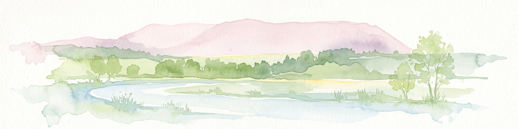
A soft watercolor illustration of a wetland scene with light blue water in the foreground, green trees in the midground, and soft pink hills in the background.
Nature reserveHessen
About 10 km away#4 closest

Northeast

Rohrlache von Heringen Protected Area and Werra Valley Wetland Geography

Nature reserve featuring rare saline meadows and alluvial terrain

Rohrlache von Heringen stands as the largest inland saline site in Hesse. This protected area preserves a rare ecosystem of salt-tolerant flora and vital breeding grounds for waterbirds, shaped by both natural Zechstein geology and long-term industrial influences along the Werra river floodplain.

Area
0.765 km²
Established
1979
IUCN
IV
Relief
Lowland
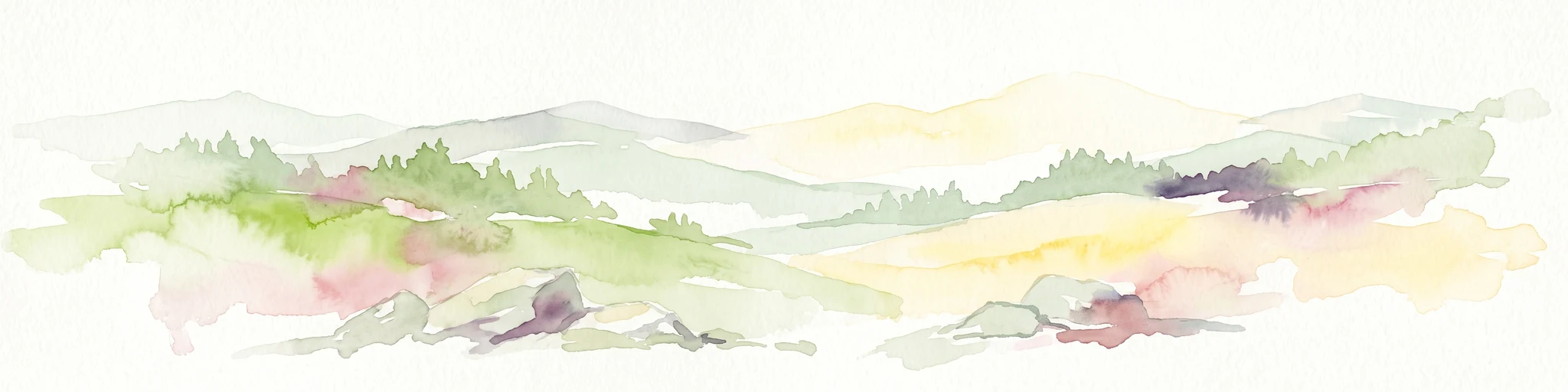
A soft watercolor illustration showing rolling hills, sparse forest clusters, and rocky foreground elements, set against a light background.
Nature reserveThuringia
About 11 km away#5 closest

Southeast

Öchsenberg Nature Reserve: Basaltic Peaks and Ancient Landscapes in the Thuringian Rhön

Geographic overview of a volcanic protected area

Öchsenberg stands as a characteristic basalt dome, shaped by ancient volcanic activity and defined by its distinct scree slopes and beech woodlands. This nature reserve, located in the northern Rhön foothills, offers a concentrated landscape where geological history meets the remnants of extensive Celtic fortifications overlooking the Werra valley.

Area
2.67 km²
Established
1990
Relief
Mountain
Climate
Temperate
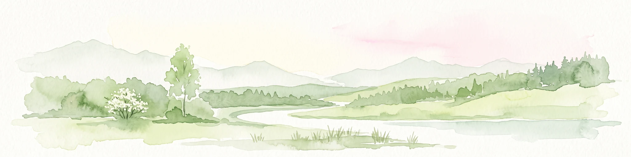
A horizontal watercolor painting showing a soft landscape with green meadows, trees, a winding stream, and distant rolling hills in a light, atmospheric style.
Nature reserveHessen
About 12 km away#6 closest

Northeast

Säulingssee Nature Reserve: Atlas Overview of this Hessen Protected Wetland Basin

Mapped geography and landscape context of a unique German reserve

Säulingssee serves as an important nature reserve within the Werra valley region of Hessen. This former lake basin now acts as a sophisticated wetland complex featuring subrosion-driven pools, reedbeds, and varied meadow habitats. As part of the Natura 2000 network and the Grünes Band Hessen corridor, the area offers a significant case study for conservation grazing and the restoration of endangered aquatic plants within Germany.

Area
0.214 km²
Established
1984
IUCN
IV
Relief
Lowland
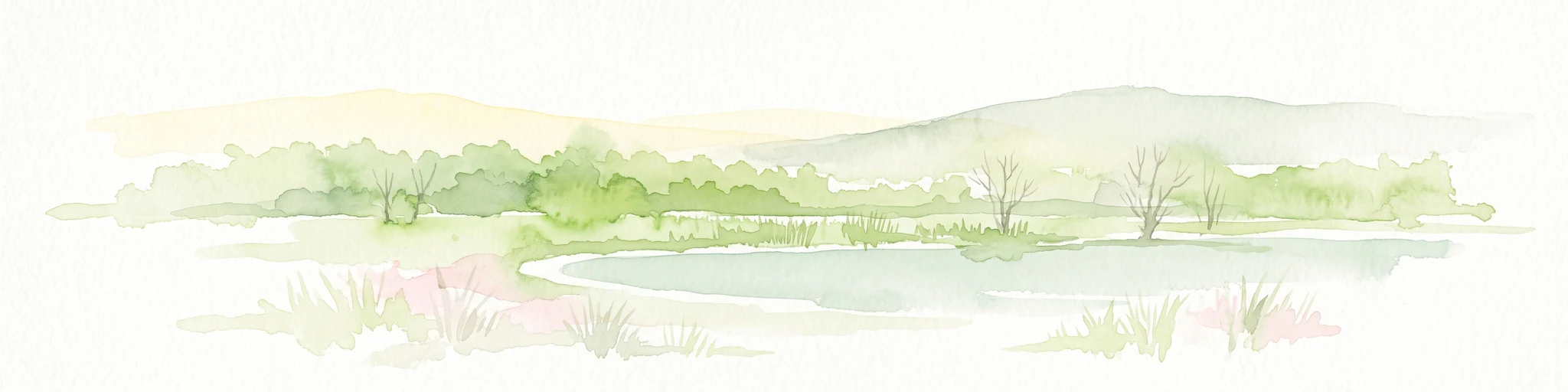
A soft watercolor illustration of a calm pond surrounded by green vegetation and rolling hills in the background.
Nature reserveWartburgkreis
About 13 km away#7 closest

Northeast

Dankmarshäuser Rhäden: Protected Wetland Reserve and Mapped Floodplain in Wartburgkreis

Restored basin landscape along the historic Green Belt corridor.

Dankmarshäuser Rhäden comprises a complex wetland mosaic in the Wartburgkreis district. This nature reserve, characterized by shallow subsidence basins and active floodplain management, represents a critical migratory bird sanctuary and a key component of the protected Green Belt. The area reveals a history of land-use transition, from agricultural depression to a functional, water-managed ecosystem supporting diverse meadow-nesting and migratory bird populations.

Area
1.217 km²
Established
1995
IUCN
IV
A soft, impressionistic watercolor painting of a serene landscape featuring rolling green hills, lush vegetation, and a calm, reflective lake in the foreground.
Nature reserveHesse
About 13 km away#8 closest

Northwest

In den Weiden bei Blankenheim: A Protected Wetland Sanctuary in the Hessian Fulda Valley

Mapping riparian floodplains and bird migration corridors in central Germany.

The In den Weiden bei Blankenheim nature reserve preserves a compact yet ecologically dense floodplain lake environment. Managed as a crucial component of the regional Fulda valley river corridor, it demonstrates the successful conversion of post-industrial gravel pits into a stable habitat for waterbirds, songbirds, and diverse riparian flora within the Hessian landscape.

Area
0.045 km²
Established
1983
IUCN
IV
Relief
Lowland

Common questions about visiting, size, designation, and location context for Landecker Berg

Landecker Berg FAQs for park facts, access, geography, and protected area context

Find quick answers about Landecker Berg, including protected-area facts, park geography, trail and visitor context, and how the park fits into its surrounding country and regional landscape.
MoriAtlas Explorer

Continue Your Protected Areas Search Across the Global Atlas

Deepen your exploration by continuing the structured search for national parks and protected areas worldwide. Utilize the comprehensive filtering capabilities to compare different conservation landscapes and refine your understanding of global park geography. Discover more about the distribution and characteristics of protected natural areas.

Global natural geography