
Mori Atlas logo
Nearby park discovery

Mapping regional park distribution and protected land connectivity near the Rhön range

Protected Areas and Natural Landscapes in the Geographic Vicinity of Landecker Berg

Examine the geographic distribution of protected areas surrounding the Landecker Berg massif in the Hessen region. This visual overview focuses on the spatial arrangement and mapped proximity of neighboring natural reserves and regional landscapes to provide context for the wider Rhön mountain environment.

A flat vector-style illustration of a mountainous valley featuring a waterfall on the left, a small village of buildings in the center, and a distant snow-capped peak under a soft sky.

A flat-topped Muschelkalk summit anchoring the northern edge of the Rhön highlands and the Burg Landeck ruin.

Landecker Berg

Landecker Berg is a 510.9 m flat-topped mountain in the northern part of the Kuppenrhön, part of the wider Rhön low mountain range that spans the German states of Bavaria, Hesse, and Thuringia. It rises in the Hessian district of Hersfeld-Rotenburg, with its massif shared by the municipalities of Schenklengsfeld, Friedewald, and Hohenroda. The mountain is framed by the Dreienberg to the north, and together the two mark part of the watershed between the Fulda and Werra river systems. Geologically, the Landecker Berg is a table mountain built from Triassic Muschelkalk limestone, capped by Upper Wellenkalk and flanked by Lower Wellenkalk, with the underlying Buntsandstein arched upward by Miocene volcanic activity typical of the Rhön. Its plateau and eastern slopes are densely forested, largely with beech woodland, and it sits within a core zone of the UNESCO-recognized Rhön Biosphere Reserve. Hikers reach the summit via forest trails, including a section of the European long-distance path E6, and a hilltop spur still carries the ruins of Burg Landeck.

Location
Germany
Park type
Nature reserve
Established
1992
Area
1 km²
Highest point
510 m
Landecker Berg Nature Reserve Geography
Regional park map

See the ranked park cluster in its geographic setting

Nearby parks around Landecker Berg

This regional map shows the same 20 nearby parks ranked below around Landecker Berg. Select a ranked marker to highlight that park’s boundary where boundary data is available.
Reference park: Landecker BergRanked nearby park20 nearby parks shown
20 nearby parks

Geographic proximity and environmental comparison across surrounding regional landscapes

Ranked Protected Areas and Parks Near Landecker Berg

Examine the ranked collection of protected areas situated geographically near Landecker Berg to analyze spatial separation and regional terrain patterns. Compare recorded environmental traits and country context across surrounding landscapes to understand broader conservation layouts.
Nature reserveThuringia
About 8.2 km away#1 closest

Northeast

Werra bis Treffurt mit Zuflüssen: Protected River and Floodplain Network in Thuringia

Mapping an extensive 191 kilometer Natura 2000 river corridor.

The Werra bis Treffurt mit Zuflüssen protected area serves as a vital ecological corridor in Thuringia. This site encompasses a complex mosaic of fast-flowing highland brooks, expansive floodplain meadows, inland salt sites, and rare dissolution lakes. Its geography bridges high-altitude source regions with lower river valleys, creating a distinctive landscape transect that supports essential freshwater habitats and rare aquatic species across the state.

Area
22.6 km²
Established
2008
IUCN
IV
Relief
Mixed relief
Nature reserveHessen
About 8.4 km away#2 closest

South

Buchenberg, Grisselborner Wäldchen und Taftgrund bei Soisdorf Nature Reserve Geography

A protected habitat complex in the Hessian Kuppenrhön.

The Buchenberg, Grisselborner Wäldchen und Taftgrund bei Soisdorf reserve serves as a prime example of a balanced protected landscape. It spans deciduous woodlands, hedge-row mosaics, and valley stream habitats. This data set provides a clear view of its structured boundaries and its importance as a refuge within the northern Rhön foothills, illustrating the interplay between hilltop forest and stream-side meadow ecosystems.

Area
0.826 km²
Established
1994
Relief
Upland
Climate
Temperate
Nature reserveThuringia
About 9.6 km away#3 closest

Northeast

Werra-Aue zwischen Breitungen und Creuzburg: Protected Floodplain and River Geography

Nature reserve sanctuary in western Thuringia

Spanning over 33 kilometers of the Werra river, this protected floodplain is defined by its distinctive geological sinkholes, seasonal wetlands, and diverse bird habitats. Discover the layered conservation status and riparian terrain that mark this significant Thuringian nature reserve as a crucial node for European ecological connectivity.

Area
25.78 km²
Established
2007
IUCN
IV
Relief
Lowland
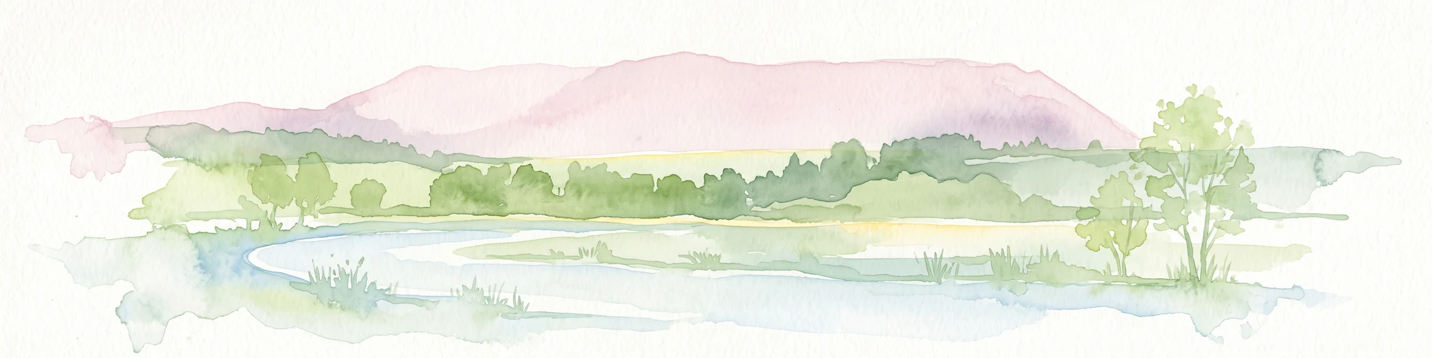
A soft watercolor illustration of a wetland scene with light blue water in the foreground, green trees in the midground, and soft pink hills in the background.
Nature reserveHessen
About 10 km away#4 closest

Northeast

Rohrlache von Heringen Protected Area and Werra Valley Wetland Geography

Nature reserve featuring rare saline meadows and alluvial terrain

Rohrlache von Heringen stands as the largest inland saline site in Hesse. This protected area preserves a rare ecosystem of salt-tolerant flora and vital breeding grounds for waterbirds, shaped by both natural Zechstein geology and long-term industrial influences along the Werra river floodplain.

Area
0.765 km²
Established
1979
IUCN
IV
Relief
Lowland
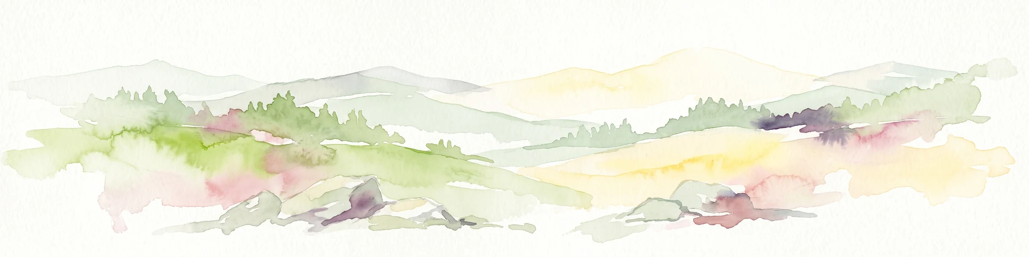
A soft watercolor illustration showing rolling hills, sparse forest clusters, and rocky foreground elements, set against a light background.
Nature reserveThuringia
About 11 km away#5 closest

Southeast

Öchsenberg Nature Reserve: Basaltic Peaks and Ancient Landscapes in the Thuringian Rhön

Geographic overview of a volcanic protected area

Öchsenberg stands as a characteristic basalt dome, shaped by ancient volcanic activity and defined by its distinct scree slopes and beech woodlands. This nature reserve, located in the northern Rhön foothills, offers a concentrated landscape where geological history meets the remnants of extensive Celtic fortifications overlooking the Werra valley.

Area
2.67 km²
Established
1990
Relief
Mountain
Climate
Temperate
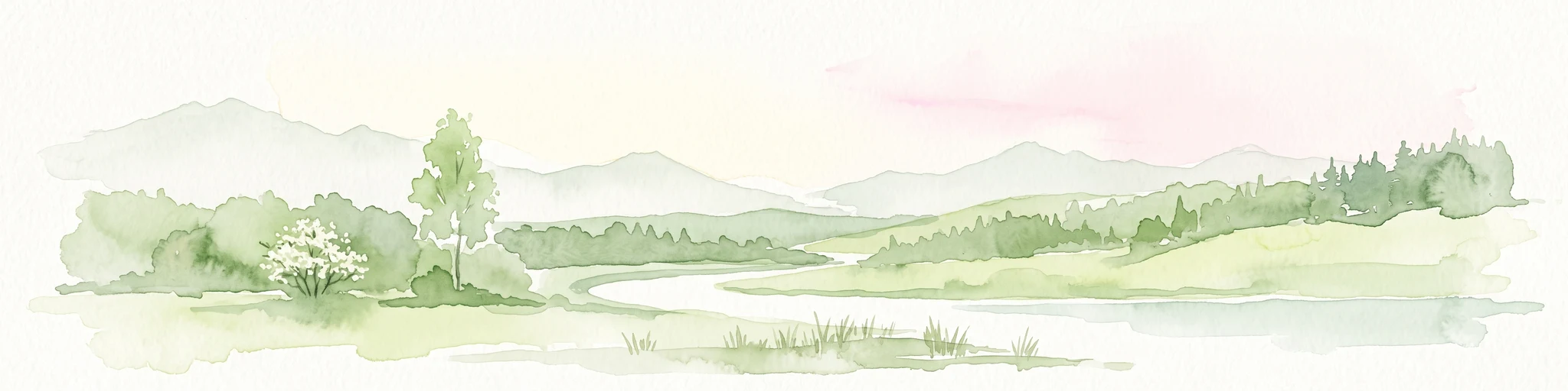
A horizontal watercolor painting showing a soft landscape with green meadows, trees, a winding stream, and distant rolling hills in a light, atmospheric style.
Nature reserveHessen
About 12 km away#6 closest

Northeast

Säulingssee Nature Reserve: Atlas Overview of this Hessen Protected Wetland Basin

Mapped geography and landscape context of a unique German reserve

Säulingssee serves as an important nature reserve within the Werra valley region of Hessen. This former lake basin now acts as a sophisticated wetland complex featuring subrosion-driven pools, reedbeds, and varied meadow habitats. As part of the Natura 2000 network and the Grünes Band Hessen corridor, the area offers a significant case study for conservation grazing and the restoration of endangered aquatic plants within Germany.

Area
0.214 km²
Established
1984
IUCN
IV
Relief
Lowland
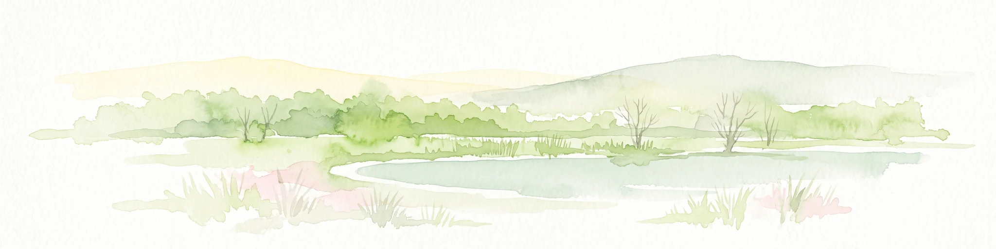
A soft watercolor illustration of a calm pond surrounded by green vegetation and rolling hills in the background.
Nature reserveWartburgkreis
About 13 km away#7 closest

Northeast

Dankmarshäuser Rhäden: Protected Wetland Reserve and Mapped Floodplain in Wartburgkreis

Restored basin landscape along the historic Green Belt corridor.

Dankmarshäuser Rhäden comprises a complex wetland mosaic in the Wartburgkreis district. This nature reserve, characterized by shallow subsidence basins and active floodplain management, represents a critical migratory bird sanctuary and a key component of the protected Green Belt. The area reveals a history of land-use transition, from agricultural depression to a functional, water-managed ecosystem supporting diverse meadow-nesting and migratory bird populations.

Area
1.217 km²
Established
1995
IUCN
IV
A soft, impressionistic watercolor painting of a serene landscape featuring rolling green hills, lush vegetation, and a calm, reflective lake in the foreground.
Nature reserveHesse
About 13 km away#8 closest

Northwest

In den Weiden bei Blankenheim: A Protected Wetland Sanctuary in the Hessian Fulda Valley

Mapping riparian floodplains and bird migration corridors in central Germany.

The In den Weiden bei Blankenheim nature reserve preserves a compact yet ecologically dense floodplain lake environment. Managed as a crucial component of the regional Fulda valley river corridor, it demonstrates the successful conversion of post-industrial gravel pits into a stable habitat for waterbirds, songbirds, and diverse riparian flora within the Hessian landscape.

Area
0.045 km²
Established
1983
IUCN
IV
Relief
Lowland
A soft watercolor illustration depicting a flat green wetland landscape with a winding river and distant rolling hills under a pale sky.
Nature reserveHesse
About 13 km away#9 closest

Northeast

Rhäden bei Obersuhl und Bosserode: Nature Reserve and Wetland Mosaic in Northern Hesse

A restored floodplain landscape in the Werra valley

Rhäden bei Obersuhl und Bosserode represents a significant subsidence basin restored from agricultural land into a thriving wetland. This protected nature reserve in Hesse features a structured mosaic of ponds, reedbeds, and wet meadows, serving as a primary regional site for bird migration and habitat conservation within the Werra valley geography.

Area
1.204 km²
Established
1973
IUCN
IV
Relief
Lowland
Watercolor painting of a river landscape with lush green vegetation and soft pink hills in the background.
Nature reserveLandkreis Hersfeld-Rotenburg
About 14 km away#10 closest

Northwest

Alte Fulda bei Blankenheim Nature Reserve: Mapping the Fulda Valley Floodplain Ecosystem

Protected riparian landscapes in Landkreis Hersfeld-Rotenburg

Alte Fulda bei Blankenheim is a vital nature reserve featuring a restored oxbow, wet meadows, and secondary flood channels. This site showcases the intersection of traditional land management and modern wetland conservation within the broader landscape of the Fulda valley. Explore the boundaries, terrain, and regional geography of this important Hessian bird sanctuary and floodplain habitat.

Area
0.236 km²
Established
1981
IUCN
IV
Relief
Lowland
A soft, minimalist watercolor illustration showing a rolling green landscape with distant hills and patches of pink and yellow vegetation.
Nature reserveHessen
About 15 km away#11 closest

North

Dachsberg bei Iba Nature Reserve: Protected Landscapes and Geography in Hessen

Rare calcareous dry grasslands and juniper heath terrain

Located in the Ibaer Hügelland of northeastern Hessen, Dachsberg bei Iba encompasses 27 hectares of lime-rich, shallow-soil slopes. This nature reserve provides essential habitat for threatened orchids and invertebrates, serving as an important example of a traditional cultural landscape preserved through ongoing conservation efforts and historical pastoral land use.

Area
0.271 km²
Established
1993
IUCN
IV
Watercolor painting of a lush, open landscape with a pond in the foreground, rolling green hills, and a forest in the background.
Nature reserveHesse
About 15 km away#12 closest

North

Auf dem Ried bei Iba Nature Reserve and Protected Wetland Landscape in Northern Hesse

Mapped brook valley and wet grassland geography

Auf dem Ried bei Iba stands as a significant nature reserve in the Iba valley of eastern Hesse, Germany. This protected area preserves a rare sequence of reedbeds, marshes, and spring-fed wet meadows that sustain diverse aquatic plant communities. By maintaining the natural hydrology of the local brook system, the reserve offers a unique look at the wetland terrain and riparian geography characteristic of the Hesse hill country.

Area
0.047 km²
Established
1985
IUCN
IV
Relief
Lowland
A horizontal watercolor painting showing a calm river or lake with aquatic plants, cattails, and pink lily blossoms against a backdrop of soft green hills.
Nature reserveHesse
About 15 km away#13 closest

West

Alte Fulda bei Asbach Nature Reserve: Mapped Geography and Floodplain Habitat Context

Protected river valley landscapes in the state of Hesse, Germany

The Alte Fulda bei Asbach reserve represents a compact yet ecologically significant floodplain in the middle Fulda valley. This protected area preserves a rare, near-natural oxbow environment, wet meadows, and riparian forests, offering a detailed case study for the study of river valley geography, sediment layers, and conservation-based landscape management in Central Germany.

Area
0.12 km²
Established
1984
IUCN
IV
Relief
Lowland
A soft watercolor illustration of a wetland landscape featuring trees, green grasses, a small pond, and distant rolling hills against a pale pink sky.
Nature reserveHesse
About 16 km away#14 closest

Northeast

Obersuhler Aue Protected Meadow Complex and Werra Valley Geographic Mapping

Expansive floodplain ecosystems and conservation corridors in Hesse

Obersuhler Aue comprises a vital lowland meadow system that spans the Werra valley floor. The area is characterized by its open, unfragmented grassland terrain, which serves as a landmark site for biodiversity within the Hessian Green Belt. From historic linden avenues to seasonally flooded reedbeds, the landscape provides essential habitat continuity across the regional basin.

Area
0.679 km²
Established
1990
IUCN
IV
Nature reserveWartburgkreis
About 16 km away#15 closest

Northeast

Werraaue bei Berka und Untersuhl: Protected Floodplain and Wetland Geography in Wartburgkreis

Mapped riverine habitat and regional conservation area

Located in the heart of the Berka basin, this nature reserve protects a diverse floodplain environment featuring rare inland saline habitats and intricate oxbow lake systems. Serving as a vital ecological stepping stone along the former inner-German border, it represents one of the most important meadow bird corridors within the Wartburgkreis district.

Area
2.558 km²
Established
1996
IUCN
IV
Relief
Lowland
A soft, painterly watercolor landscape showing a green grassy meadow beside a calm lake with a stand of trees and rolling hills in the background.
Nature reserveLandkreis Hersfeld-Rotenburg
About 17 km away#16 closest

Northwest

Forbachsee bei Bebra Nature Reserve: Mapped Protected Landscape in Landkreis Hersfeld-Rotenburg

River-connected gravel-pit lake and floodplain geography

Analyze the protected boundaries of Forbachsee bei Bebra, a nature reserve defined by its active connection to the River Fulda. The site features an evolving shoreline of gravel banks and softwood forest, showcasing how industrial extraction areas mature into essential refuges for migratory waterbirds within the larger regional valley system.

Area
0.219 km²
Established
1985
IUCN
IV
Relief
Lowland
Nature reserveWartburgkreis
About 18 km away#17 closest

East

Brühl von Merkers Nature Reserve: Floodplain Geography in the Wartburgkreis District

Protected Werra valley meadows and wetland ecosystems

Brühl von Merkers preserves a rare, open stretch of Werra river floodplain within Germany. This nature reserve offers a detailed look at extensively managed grasslands and wetland habitats that support avian populations and maintain regional ecological integrity within the Wartburgkreis administrative area.

Area
1.756 km²
Established
2014
IUCN
IV
A horizontal watercolor illustration depicting rolling green hills, patches of forest, and fallen trees in the foreground on a plain white background.
Nature reserveHessen
About 19 km away#18 closest

South

Naturschutzgebiet Breiter Berg bei Haselstein: Hessen Nature Reserve and Forest Atlas

Protected basalt terrain and forest mosaic in the Rhön

This nature reserve protects a vital cluster of beech woodland, moist gallery forests, and meadows in the Nüsttal municipality. The area is defined by its rounded hills, basalt-keuper soil substrates, and status as a protected Natura 2000 site within the broader Rhön biosphere conservation landscape.

Area
1.822 km²
Established
1997
IUCN
IV
A watercolor painting showing a soft, minimalist landscape with rolling green hills, patches of grass in the foreground, and a distant line of trees under a light, warm-toned sky.
Nature reserveMengshausen
About 19 km away#19 closest

West

Bruchwiesen bei Mengshausen: A Protected Nature Reserve in the Fulda River Floodplain

Geography, floodplain terrain, and protected wetland habitat overview

Bruchwiesen bei Mengshausen serves as a critical wetland enclave within the Fulda valley. This nature reserve, located near the village of Mengshausen, safeguards a vital stretch of marshland, reed beds, and wet pastures. Through careful conservation grazing, the area provides essential habitat for endangered bird species, acting as a representative fragment of the natural floodplain landscape in eastern Hesse.

Area
0.104 km²
Established
1987
IUCN
IV
Relief
Lowland
A horizontal watercolor illustration of a gentle, rolling landscape with green trees, meadow grass, and distant hills under a light blue sky.
Nature reserveWartburgkreis
About 21 km away#20 closest

Northeast

Alte Werra Nature Reserve: Floodplain Geography and Protected Meadow Landscapes in Wartburgkreis

Essential river valley habitats and Natura 2000 protected areas.

Alte Werra serves as a critical protected landscape in the Wartburgkreis district of Germany. Centered on the Middle Werra valley, this 258 hectare nature reserve protects unique floodplain terrain including oxbow remnants, the Böllerteiche ponds, and diverse wet grassland habitats. The site remains a key reference point for studying riverine geomorphology and protected bird corridors in the Thuringia region.

Area
2.578 km²
Established
1996
IUCN
IV
Relief
Lowland
Distance methodology

Geographic measurements, not driving distances

How nearby park distances are calculated

Distances use park boundaries whenever the available geometry allows it. When one or both boundaries are missing, the mapped park locations provide a clearly labelled estimate. Every value represents straight-line geographic separation and does not use roads or routing.

Boundary distance

Calculated between the nearest points of both park boundaries.

Location-to-boundary estimate

Estimated from one mapped park location to the nearest boundary of the other park.

Mapped-location estimate

Estimated between the mapped locations of both parks.

MoriAtlas Explorer

Explore the Mapped Geography and Protected Landscapes of Landecker Berg

Continue discovering the natural features and protected boundaries of Landecker Berg. MoriAtlas provides a structured view of this significant Hessian nature reserve, mapping its table mountain terrain, forest composition, and regional geologic context for a deeper understanding of the Rhön landscape.