
Mori Atlas logo
Park guides

Explore detailed guides focused on Lassen Volcanic visitor planning and volcanic terrain access

Lassen Volcanic National Park: Curated Guides to Volcanic Landscapes and Regional Geography

Access a structured collection of resources dedicated to Lassen Volcanic National Park. These guides provide geographic context for the Cascade Range volcanic systems, including seasonal navigation insights and details on planning visits to the hydrothermal areas and mountainous terrain of northeastern California.

Related tags

Volcanic LandscapeNational ParkCascade RangeGeothermal FeaturesPlug Dome Volcano

Active volcanic landscapes at the southern end of the Cascade Range

Lassen Volcanic National Park

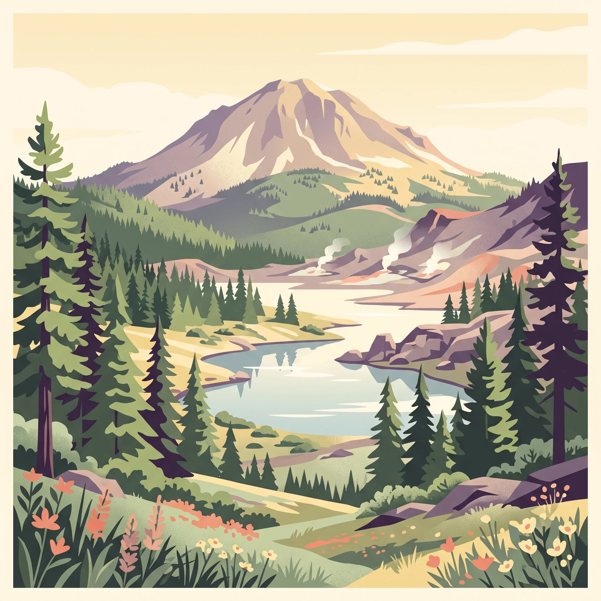
Lassen Volcanic National Park preserves one of the most geologically significant landscapes in the United States, offering visitors access to active volcanic features at the southern terminus of the Cascade Range. The park encompasses a remarkable variety of terrain, from the dramatic lava pinnacles and jagged craters of its western section to the expansive lava plateau of its eastern reaches. At the heart of the park stands Lassen Peak, a massive dacite dome that represents the world's largest example of plug dome volcanism. The peak rises to 10,457 feet and forms a striking visual landmark visible across the surrounding landscape. Beyond Lassen Peak, the park contains the remains of Mount Tehama, a former stratovolcano that collapsed to form a two-mile-wide caldera in the late Pleistocene epoch. This complex geological history is complemented by ongoing thermal activity, with hydrothermal features throughout the park demonstrating that volcanic processes continue beneath the surface. The park's establishment in 1916 followed several years of significant eruptive activity between 1914 and 1917, events that brought national attention to this volcanic landscape and prompted its protection as a national park.

Location
United States of America
Park type
National park
Established
1916
Area
430.8 km²
Highest point
3,187 m
Lassen Volcanic National Park protected area
1 guide

Compare thematic resources addressing seasonal access and geothermal exploration questions.

Published Guides And Visit Planning Resources For Lassen Volcanic National Park

Published reference materials for Lassen Volcanic National Park provide targeted insights into high-elevation seasonal transitions and geothermal access. These curated resources help researchers evaluate optimal visiting windows ranging from clear summer hiking months to snow-covered winter conditions.
MoriAtlas Explorer

Continue exploring Lassen Volcanic National Park's protected landscape and geography

Deepen your understanding of Lassen Volcanic National Park by examining its precise geographic boundaries and the unique natural terrain it preserves. This destination offers key insights into the park's protected status and its role within California's geographic tapestry. Continuing your exploration here provides valuable data for appreciating its mapped landscape and context within the comprehensive atlas of protected areas.