
Mori Atlas logo
Marine protected areaLoch Goil

A fjord-like Scottish sea loch framed by the rugged peaks of the Arrochar Alps

Loch Goil Nature Conservation Marine Protected Area and Highland Mountain Geography

(Loch Goil Nature Conservation Marine Protected Area)

Loch Goil represents a compact and dramatic marine environment nestled within the Cowal peninsula of Argyll and Bute. Entirely contained within the Loch Lomond and The Trossachs National Park, this fjord-like inlet is defined by steep, forested slopes and the high-altitude backdrop of the Arrochar Alps. As a designated Nature Conservation Marine Protected Area, it serves as a significant site for studying coastal habitats and rugged Highland mountain terrain.

sea lochfjord-like inletCowal peninsulaArgyll and ButeArrochar AlpsLoch Lomond and The Trossachs National Park
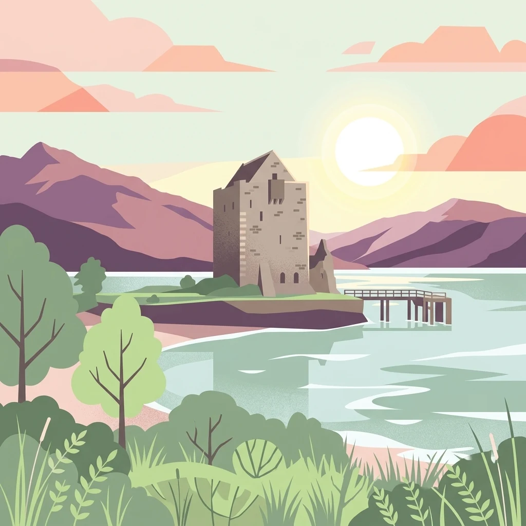
Vector-style illustration of a stone castle on a small headland, bordered by a loch and surrounded by hills, trees, and a wooden jetty at sunset.

Loch Goil

Marine protected area

Park overview

Structured park overview, official facts, and landscape profile for Loch Goil

Loch Goil park facts, protected area profile, and essential visitor context

Review the core facts for Loch Goil, including designation, size, terrain, visitor scale, habitats, and operating context in one park-focused overview.

About Loch Goil

Loch Goil is a small, narrow sea loch on the Cowal peninsula in Argyll and Bute, on the western coast of Scotland. Although modest in size, it sits within one of the most scenic parts of the Scottish Highlands, entirely inside the boundary of the Loch Lomond and The Trossachs National Park. The loch is essentially a sheltered side branch of Loch Long, with steep forested slopes and rocky ridges rising sharply from the water to create a strongly enclosed, fjord-like character.

The surrounding terrain reflects classic Highland scenery. The peaks of the Arrochar Alps crowd the skyline above the loch, and coniferous forests mantle the lower slopes. Villages such as Lochgoilhead at the head of the loch and Carrick Castle on its western shore are small communities that share this remote Highland setting, connected by twisting single-track roads, including the route over the Rest and Be Thankful pass that links Cowal to the central Scottish road network.

Loch Goil has come to stand out for reasons beyond its scenery. In 2014 the loch was designated as a Nature Conservation Marine Protected Area, an acknowledgment of the ecological importance of its waters and seabed habitats. This formal recognition highlights Loch Goil as more than a scenic backdrop; it is a valued component of Scotland's network of protected marine environments.

The loch also plays a strategic role in Scotland's modern defense landscape. Submarines operating from HMNB Clyde at Faslane, including Trident-carrying Vanguard-class boats, use Loch Goil for exercises, giving the inlet a notable presence in the operational geography of the Royal Navy. The combination of protected marine status, dramatic Highland terrain, nearby national park setting, and strategic use makes Loch Goil a distinctive and multi-layered sea loch within the Cowal peninsula.

Quick facts and research context for Loch Goil

Loch Goil is a sea loch forming part of the Cowal peninsula coast in Argyll and Bute, Scotland, and lies entirely within the Loch Lomond and The Trossachs National Park. It branches off from Loch Long and is framed by the steep, forested slopes of the Arrochar Alps, giving it a narrow, fjord-like profile typical of western Highland sea lochs.

The loch is anchored at its head by the village of Lochgoilhead, with Carrick Castle located along its western shore. In 2014, Loch Goil was designated as a Nature Conservation Marine Protected Area, recognizing the ecological value of its marine environment. The waters are also used for submarine training exercises associated with HMNB Clyde at Faslane.

Protection and recognition

Examine documented marine conservation scope, designation history, and statutory status.

Loch Goil Protection Status and Marine Protected Area Designation Records

Loch Goil features a marine protection status established in 2014 to document official conservation scope and administrative records. Structured designation history provides verifiable baseline data regarding geographic boundaries and statutory framework.

Protection details

Protection scope
Marine
Designated year
2014
Transboundary protection
No
Park context

Deeper park guide and search-rich context for Loch Goil

Loch Goil history, landscape, wildlife, and travel context

Explore Loch Goil through its history, landscape character, ecosystems, wildlife, conservation priorities, cultural context, and seasonal travel timing in a structured park guide built for atlas discovery and search intent.

Why Loch Goil stands out

Loch Goil is best known for combining a tightly enclosed, fjord-like sea loch setting with the towering backdrop of the Arrochar Alps, all within the boundaries of the Loch Lomond and The Trossachs National Park. Its protected marine status, granted in 2014 as a Nature Conservation Marine Protected Area, gives it recognition as a significant inshore marine habitat in western Scotland. The loch is also recognized for its proximity to major underwater activity at HMNB Clyde at Faslane, where submarines use Loch Goil for exercises. Together, the loch's dramatic enclosed scenery, national park location, and marine conservation designation define its distinctive identity among Scottish sea lochs.
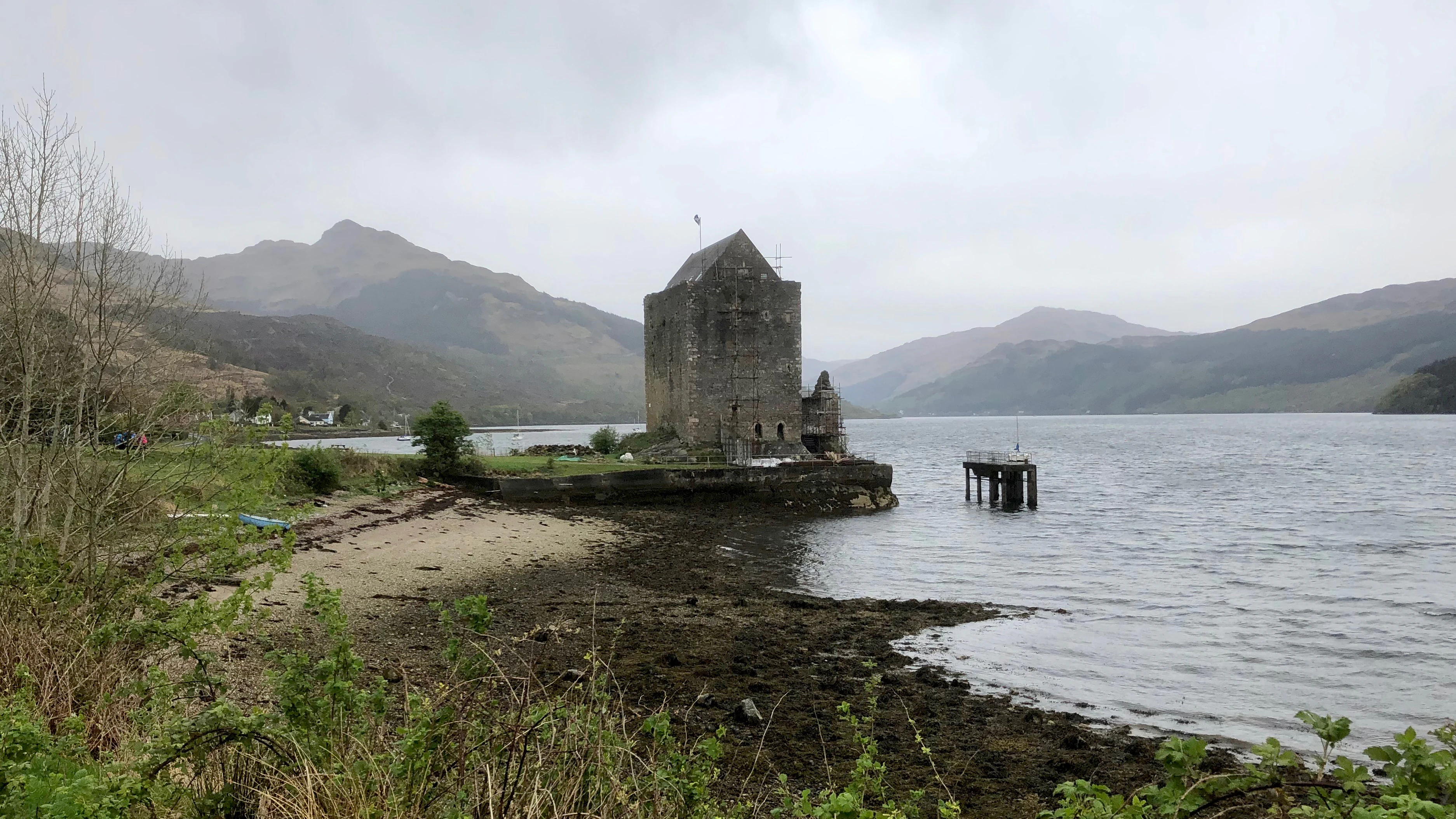
A stone tower house, Carrick Castle, sits on a small promontory extending into the dark waters of Loch Goil, surrounded by rolling hills under a cloudy sky.
Carrick Castle stands on the rocky shoreline of Loch Goil in the Scottish Highlands.

Loch Goil landscape and geographic character

Loch Goil has the classic profile of a western Highland sea loch: narrow, deep-sided, and tightly enclosed by rising terrain. Its shores are flanked by steep, often forested slopes that climb quickly from the waterline, lending the inlet its fjord-like character. The loch forms an arm of Loch Long, branching off into the Cowal peninsula, so its waters are enclosed on multiple sides by high ground rather than open coastal plain.

The dominant visual feature above the loch is the Arrochar Alps, a group of rugged Highland peaks that dramatically frame the upper views from the water. Conifer plantations clothe much of the lower and middle slopes, creating a densely wooded backdrop that contrasts with the open ridges above. The combination of dark woodland, rocky cliffs, and mountain summits gives Loch Goil a remoteness and grandeur that feels more characteristic of deeper Highland wilderness than of its relatively accessible location near central Scotland.

Settlement within this landscape is light and concentrated. Lochgoilhead sits at the head of the loch, while Carrick Castle lies along the western shore. Both are small communities reached by single-track roads that wind through the surrounding hills, reinforcing the sense of an enclosed, mountain-hemmed sea loch environment.

Loch Goil ecosystems, habitats, and plant life

Loch Goil's natural character is shaped by the meeting of enclosed marine waters with steep Highland terrain, producing a distinctive ecological setting within the Loch Lomond and The Trossachs National Park. The loch functions as a sheltered arm of Loch Long, with conditions that favor a range of inshore marine habitats along its length.

The surrounding land rises into the Arrochar Alps, with coniferous forest mantling much of the lower slopes. This mix of marine inlet, woodland, and mountain creates layered habitat zones in a compact area. The protected status of Loch Goil as a Nature Conservation Marine Protected Area reflects the value of its marine environment within this broader landscape mosaic of woodland, upland, and open water.

As a declared marine protected area, the loch's waters and seabed are formally recognized for their conservation importance in Scotland's network of protected marine sites. Combined with its position within the national park, this gives Loch Goil a dual identity as both a scenic Highland sea loch and a protected ecological environment.

Loch Goil wildlife and species highlights

Loch Goil's marine environment supports a range of fish species typical of sheltered western Scottish sea lochs. Recognized fish records attributed to the loch include streaked gurnard, haddock, greater pipefish, and goldsinny wrasse, illustrating the diversity of inshore species found in these waters.

The surrounding terrestrial environment, with conifer forested slopes leading up to the open ground of the Arrochar Alps, provides habitat for typical Highland fauna associated with woodland and upland transitions. While the loch itself is best characterized by its marine life, its broader setting within the Loch Lomond and The Trossachs National Park places it within a wider network of protected Highland habitats that support upland and forest wildlife.

Loch Goil conservation status and protection priorities

Loch Goil was designated as a Nature Conservation Marine Protected Area in 2014, formally recognizing the ecological importance of its marine waters and seabed habitats within Scotland's broader MPA network. This designation places Loch Goil alongside other protected Scottish marine sites that are managed for biodiversity and habitat conservation.

The loch lies entirely within the Loch Lomond and The Trossachs National Park, adding a parallel layer of terrestrial protection to the surrounding landscape of forested slopes and Arrochar Alps peaks. Together, the marine and national park designations frame Loch Goil as a site with overlapping conservation recognition, protecting both its sea loch environment and the Highland terrain that surrounds it.

Loch Goil cultural meaning and human context

The cultural context of Loch Goil is tied closely to the scattered Highland communities nestled along its shores. Lochgoilhead at the head of the loch and Carrick Castle on its western shore represent the small-scale settlement pattern typical of the Cowal peninsula, where villages occupy limited low ground between steep hills and the sea.

Access into the loch has historically been shaped by the challenging Highland terrain, with narrow, winding roads such as the route over the Rest and Be Thankful pass connecting Loch Goil to the rest of Scotland. The local Scottish Gaelic name for the loch, Loch Goil, reflects the broader Gaelic heritage of much of western Scotland, even as the area today functions primarily as a quiet Highland gateway rather than a major cultural center.

Top sights and standout views in Loch Goil

Loch Goil stands out as a compact sea loch that combines dramatic Highland scenery with formal conservation recognition. Its tight, fjord-like form, framed by the Arrochar Alps and dense conifer slopes, gives it a distinctly enclosed character rare within easy reach of central Scotland.

The 2014 designation as a Nature Conservation Marine Protected Area underscores its ecological value as an inshore marine habitat, while its location entirely within the Loch Lomond and The Trossachs National Park reinforces its protected status on land as well as at sea. Its use for submarine exercises by vessels from HMNB Clyde at Faslane adds a further layer of significance, making Loch Goil a sea loch of scenic, ecological, and strategic importance.

Best time to visit Loch Goil

Loch Goil is shaped by the typical seasonality of western Scottish sea lochs. Spring and summer often bring longer daylight hours, calmer conditions on the water, and fuller access to the surrounding hill paths and viewpoints, making the scenery of the Arrochar Alps and forested loch shores feel particularly vivid.

Autumn brings softer light and a quieter atmosphere to the area, while winter can bring harsher weather, shorter days, and potentially difficult conditions on the access roads through the hills. Visitors drawn by scenery, walking, and photography may find the late spring through early autumn window most rewarding for experiencing the loch's enclosed landscape, although its character changes strongly with the Scottish seasons.

Monthly climate preview

Long term monthly averages for temperature and precipitation at Loch Goil

Loch Goil Climate Normals and Measured Annual Temperature Patterns

Long term climate data for Loch Goil shows measured annual temperature ranges and monthly precipitation averages sampled from representative coordinates. Reviewing the complete twelve month profile provides deeper insight into historical weather normals across the protected area.
Annual mean8 °C
4 °C14 °C
Jan
Feb
Mar
Apr
May10°
Jun12°
Jul14°
Aug14°
Sep12°
Oct
Nov
Dec
Warmest month
July

13.8 °C

Coolest month
February

3.7 °C

Wettest month
January

5.3 mm/day

Driest month
May

2.9 mm/day

Park location guide

Geography guide, regional context, and park location map for Loch Goil

Loch Goil park geography, regions, and map view in United Kingdom

Understand where Loch Goil sits in United Kingdom through a broader geographic reading of the surrounding landscape, nearby location context, and its mapped position within the national park landscape.

How Loch Goil fits into United Kingdom

The United Kingdom is a parliamentary constitutional monarchy located in northwestern Europe, consisting of four constituent countries: England, Scotland, Wales, and Northern Ireland. As a major global power with over 69 million residents, it maintains significant international influence in politics, economics, and culture.

Wider geography shaping Loch Goil in United Kingdom

The United Kingdom is an island nation located in northwestern Europe, surrounded by the Atlantic Ocean, North Sea, English Channel, Celtic Sea, and Irish Sea. It shares a land border with the Republic of Ireland to the west. The territory includes the island of Great Britain, the northeastern portion of Ireland, and most of the smaller British Isles islands.

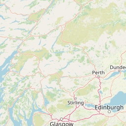
Map view of Loch Goil

Use this park location map to pinpoint Loch Goil in United Kingdom, understand its exact geographic position, and read its mapped placement within the surrounding landscape more clearly.

Pigeon | © OpenStreetMap contributors

Location context for Loch Goil

Argyll and Bute

Explore photographic records of fjord terrain, steep conifer slopes, and protected marine habitats.

Loch Goil Photos and Scenery: Visualizing the Highland Sea Loch Landscape

Visual documentation captures the dramatic enclosed terrain of Loch Goil, revealing steep wooded shores beneath the rugged Arrochar Alps. Examining these protected marine views provides a deeper understanding of the unique Highland geography defining the surrounding national park.

A stone tower house, Carrick Castle, sits on a small promontory extending into the dark waters of Loch Goil, surrounded by rolling hills under a cloudy sky.

Park atlas

Compare nearby national parks and connected protected landscapes across regional Scottish geography.

Discover Other Parks Near Loch Goil and Protected Areas Across Surrounding Highland Terrain

Browse other parks and marine protected areas located near Loch Goil to examine adjacent Highland terrain and connected regional ecosystems. Continuing into surrounding protected landscapes reveals broader geographic patterns across the Scottish marine and mountain environment.
Watercolor illustration showing mountains, green forests, a loch, and a river in a landscape
National parkScotland
About 0.4 km away#1 closest

Northeast

Loch Lomond and The Trossachs National Park: Mapped Landscapes and Terrain

Regional geography and protected Highland boundaries in Scotland

Loch Lomond and The Trossachs National Park covers a vast array of protected habitats, from coastal sea lochs to high-altitude Munros. This geographic profile outlines the park's position across the Highland Boundary Fault, highlighting its role as a core protected area for Caledonian forests and freshwater lake ecosystems within Scotland.

Area
1,865 km²
Established
2002
IUCN
V
Visitors
2.9M annual
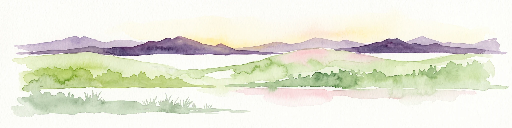
A soft watercolor painting of a landscape featuring green rolling hills, a suggestion of a reflective body of water, and layers of purple distant mountains against a light sky.
National parkScotland
About 21 km away#2 closest

East

Loch Lomond and The Trossachs National Park: Geographic and Protected Area Overview

Tracing Highland and Lowland transition zones in Scotland

This protected area captures the contrast between the rugged mountainous terrain of the northern Trossachs and the gentler southern loch basins. By examining the Highland Boundary Fault, users can analyze how glaciers carved the landscape, creating the deep fjord-like trenches and islands that define the region's unique natural geography.

Area
71 km²
Established
2002
Relief
Mountain
Climate
Temperate
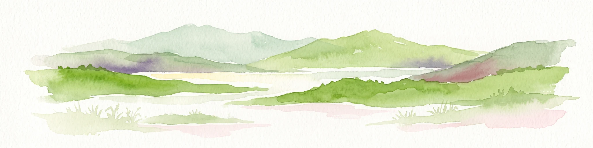
A soft watercolor illustration depicting green rolling hills and a body of water in a minimalist style.
Marine protected areaArgyll and Bute
About 28 km away#3 closest

West

Loch Fyne Marine Protected Area and Highland Coastal Geography

Mapped sea loch landscapes in Argyll and Bute

Loch Fyne represents a unique intersection of maritime tradition and protected natural terrain. This entry maps the loch as it winds through the Cowal Peninsula, highlighting the contrast between northern mountain hinterlands and southern coastal inlets. Users can examine the extent of its protected waters, the surrounding topography, and its historical significance within the geography of western Scotland.

Established
2014
Relief
Mixed relief
Climate
Temperate
Access
Easy access
Marine protected areaArgyll and Bute
About 51 km away#4 closest

West

Loch Sween Marine Protected Area: Coastal Geography and Regional Atlas Map

A distinctive sea loch ecosystem in Argyll and Bute.

Investigate the coastal topography and protected marine boundaries of Loch Sween. This sea loch is defined by its irregular branching inlets and islands, creating a unique habitat mosaic of maerl beds and burrowed mud within the broader context of the western Scottish coastline.

Area
41 km²
Established
2014
IUCN
IV
Access
Access unknown
Protected landscapeArgyll and Bute
About 51 km away#5 closest

West

Scarba, Lunga and the Garvellachs National Scenic Area: Protected Island Geography

Coastal landscapes and tidal seascapes of Argyll and Bute

Gain insight into the distinct protected landscape of the Scarba, Lunga and the Garvellachs National Scenic Area. This area balances mountainous moorland with green meadows, while its submerged marine reefs and fierce tidal waters contribute to a complex ecological and geographic identity within the Firth of Lorn.

Area
65 km²
Established
1981
Relief
Upland
Climate
Temperate
Marine protected areaArgyll and Bute
About 51 km away#6 closest

Northwest

Loch Creran Marine Protected Area: Atlas and Coastal Geography of Argyll and Bute

Mapped tidal basins, flame shell reefs, and Atlantic oakwood habitats

Loch Creran is a primary example of integrated marine and coastal conservation on the west coast of Scotland. Characterized by its long, narrow form and dramatic bathymetry, the loch creates a rich environment where rapid tidal currents meet sheltered forest shorelines. This record provides a detailed look at the geographic structure, protected seabed zones, and the transition from sea loch to the ancient woodlands at the head of the inlet.

Area
12 km²
Established
2014
IUCN
IV
Relief
Lowland
Marine protected areaScotland
About 54 km away#7 closest

Northwest

Loch Sunart to the Sound of Jura Marine Protected Area: A Scottish Marine Geography Guide

Charting habitat management and Quaternary seabed geology in the western Highlands.

This protected area reaches across the waters of Loch Sunart, the Sound of Mull, the Firth of Lorne, and the Sound of Jura. By mapping this diverse bathymetry, the area safeguards essential marine habitats and the rare common skate population within a complex network of Highland sounds and coastal basins.

Area
741 km²
Established
2014
IUCN
IV
Climate
Temperate
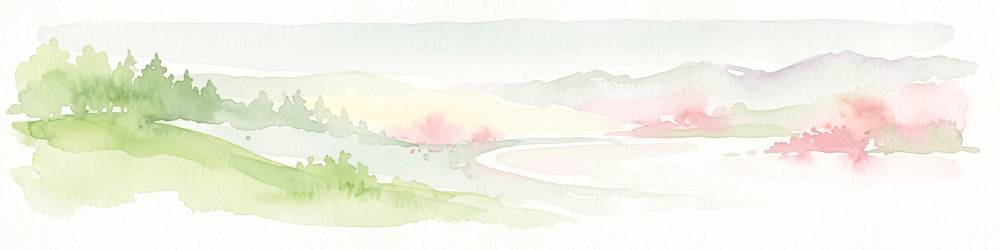
A soft watercolor illustration featuring green rolling hills; pink foliage; and a calm bay under a pale sky.
Marine protected areaScotland
About 68 km away#8 closest

South

Lamlash Marine Protected Area: Coastal Geography and Protected Waters in Scotland

Maritime terrain and conservation landscapes of the Firth of Clyde

Located along the eastern coast of the Isle of Arran, the Lamlash Marine Protected Area serves as a landmark for community-led conservation in Scotland. The site protects a vital marine ecosystem including maerl beds within a sheltered natural harbour, providing a distinct study of coastal boundaries and marine terrain facing Holy Isle across the Firth of Clyde.

Established
2008
Visitors
1.1K annual
Relief
Lowland
Climate
Temperate

Common questions about visiting, size, designation, and location context for Loch Goil

Loch Goil FAQs for park facts, access, geography, and protected area context

Find quick answers about Loch Goil, including protected-area facts, park geography, trail and visitor context, and how the park fits into its surrounding country and regional landscape.
MoriAtlas Explorer

Continue Your Protected Areas Search Across the Global Atlas

Deepen your exploration by continuing the structured search for national parks and protected areas worldwide. Utilize the comprehensive filtering capabilities to compare different conservation landscapes and refine your understanding of global park geography. Discover more about the distribution and characteristics of protected natural areas.

Global natural geography