
Discover the diverse Highland terrain, from iconic Munros to ancient Caledonian forest remnants
Named Natural Features and Geographic Landscapes of Loch Lomond and The Trossachs National Park
This geographic collection catalogs the varied natural features found within and bordering Loch Lomond and The Trossachs National Park. Users can trace the influence of the Highland Boundary Fault on the local landscape by identifying specific mountains, lochs, rivers, and woodlands that define this significant Scottish protected area. The atlas provides a structured view of the natural terrain, mapping the diverse physical formations that characterize the southern Highlands and the expansive Trossachs region.
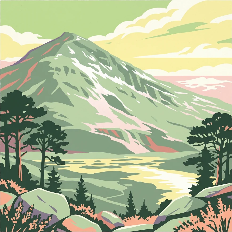
Map Loch Lomond and The Trossachs National Park through lochs and mountains
Mountain, loch, river, coast, and cliff records in Loch Lomond and The Trossachs National Park
Mapped summit terrain and highland geography
Peaks
Analyze the distribution of named peaks and prominent summits situated across Loch Lomond and The Trossachs National Park. This geographic dataset highlights the range of mountain heights and landform variety found within the park boundaries, offering a clear perspective on the highland terrain and its complex geological structure.
Geographic mapping of protected freshwater islands
Islands
Explore the inventory of islands found within Loch Lomond and The Trossachs National Park. This geographic overview highlights landforms surrounded by the park's extensive lochs and river systems, providing clear context on their spatial distribution and relationship to the surrounding Highland terrain.
Hydrological landscapes and park watercourses
Rivers
Explore the collection of named rivers and watercourses connected to the geography of Loch Lomond and The Trossachs National Park. These features illustrate the flow of water through deep glens and across the Highland Boundary Fault, providing essential context for the park's diverse mountain and forest terrain.
Geographic atlas of protected water features
Lakes
Access a structured inventory of named lakes distributed throughout Loch Lomond and The Trossachs National Park. This geographic overview highlights the spatial relationship between inland water bodies and the surrounding highland terrain, providing essential context for understanding the park's natural landscape composition.
Documented forest features within the national park landscape.
Forests
Explore the collection of named forests situated across the varied terrain of Loch Lomond and The Trossachs National Park. This index provides a spatial overview of these natural features, reflecting the diversity of Highland and lowland vegetation patterns that characterize the park's 1,865 square kilometres of protected land.
Geographic atlas of mountain and drainage landforms.
Valleys
Examine the valley formations within Loch Lomond and The Trossachs National Park through a curated geographical lens. These features, carved into the highland terrain, form the foundational drainage networks of the park, providing essential context for the regional topography, slope orientation, and geological character of the Scottish landscape.
Geographic map of river drops and cascades
Waterfalls
A structured index of identified waterfall features found within the boundaries of Loch Lomond and The Trossachs National Park. This geography-first overview focuses on the location, stream association, and physical character of each named waterfall as they navigate the Highland terrain.
Mapping hydrological networks and mountain drainage
Streams
Examine the distribution of named streams within the protected landscape of Loch Lomond and The Trossachs National Park. This structured collection highlights how various watercourses traverse the diverse terrain from the Highland Boundary Fault to the northern glens.
Explore the Geographic Boundaries of Loch Lomond and The Trossachs National Park
Continue mapping the diverse terrain of Scotland's premier protected area. MoriAtlas provides a clear look at the mountains, glens, and loch systems that define this significant Highland landscape.