Why Löptener Fenne, Wustrickwiesen Nature Reserve stands out
Löptener Fenne, Wustrickwiesen is best known as a textbook example of an eastern German seepage and former terrestrialization mire that has been deliberately rewetted after long-term drainage. Its geological identity rests on more than ten meters of gyttja-like mud layers buried beneath the peat, evidence that the Löptener Fenne was once a true lake within a glacial meltwater channel before it filled in and was later artificially drained. The reserve is also notable for the layered history of human intervention it preserves. Centuries-old drainage works under Friedrich Wilhelm I, First World War prisoner-of-war labor that extended the drainage infrastructure, post-1945 land reform redistribution, and a collective-farm pumping station all left their mark on the landscape. The current restoration work focuses on destroying the old pipe drainage, installing a sohlgleite ramp with a ford to surface-flow water back toward the Wustrickwiesen, and rebuilding habitat for typical mire vegetation.
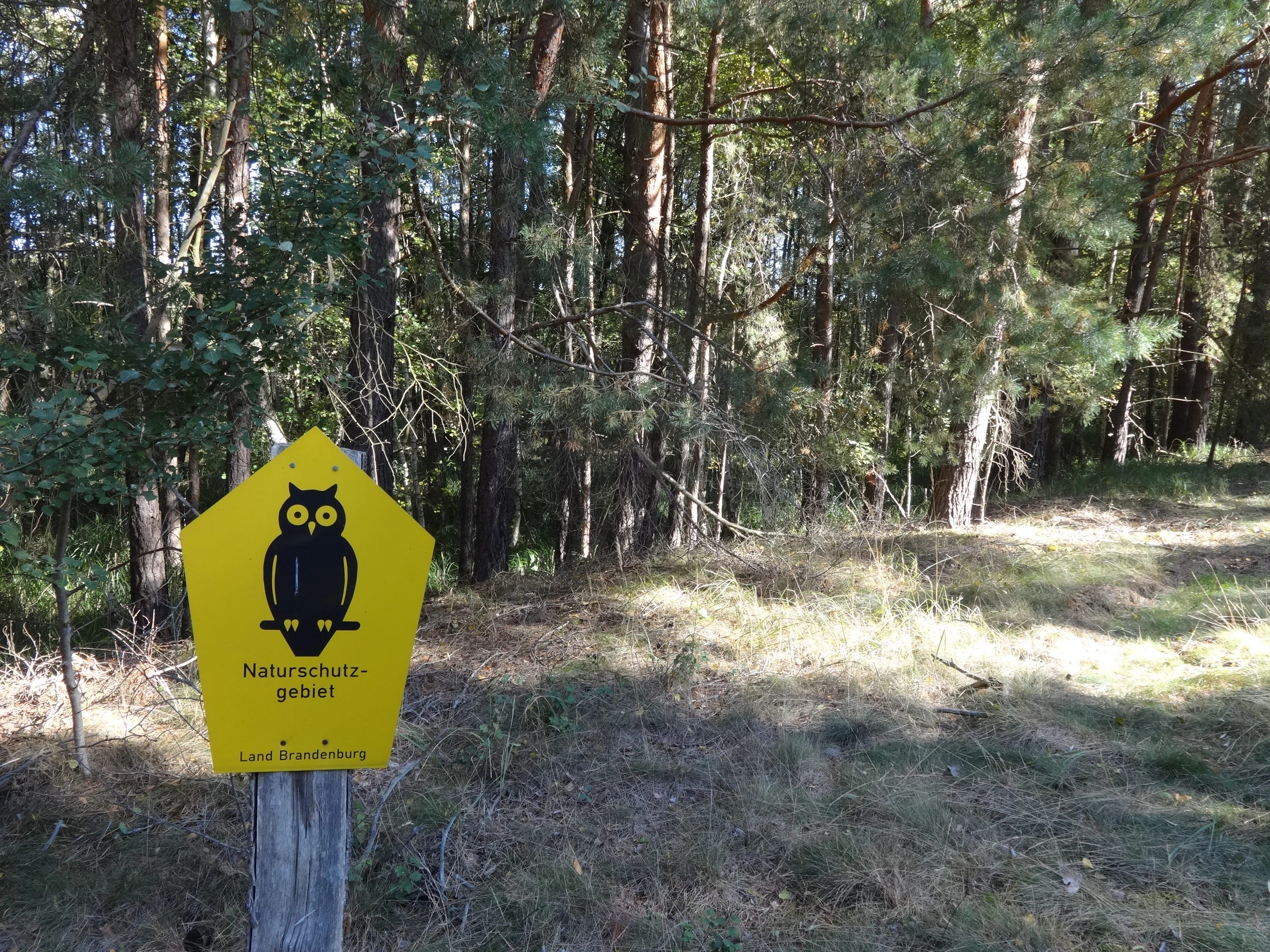
Löptener Fenne, Wustrickwiesen Nature Reserve history and protected-area timeline
The reserve's history stretches back roughly to the end of the last cold period and is closely intertwined with the natural evolution of the Großer Moddersee basin. After the retreat of the glaciers around 10,000 years ago, the Fenne began life as a lake that progressively silted up into a terrestrialization mire. Schmettausches Kartenwerk, produced between 1767 and 1787, still shows the lake as substantially larger than today's remnants and existing without an outflow. By the early nineteenth century, an artificial connection had been cut to the neighboring Wustrickwiesen, which lie approximately 1.5 meters lower, and water began to drain from the basin.
Major drainage works are believed to date from the early eighteenth century, when Friedrich Wilhelm I acquired the lands of the Schenk von Landsberg family in 1717 and ordered sweeping hydrological interventions across his new holdings. A 400-meter-long ditch, cut to a depth of nearly three meters, is thought to belong to this program. As the peat surface subsided because of decomposition and compaction, the ditch had to be deepened repeatedly. During the First World War, prisoners of war reportedly laid an additional pipeline one meter below the original ditch bed to allow further lowering of water levels in support of cultivation. Different leaseholders farmed the area in the following decades, and after the Second World War the land was subdivided among several smallholders under the postwar land reform, before being merged again at the end of the 1950s into an agricultural production cooperative. That cooperative installed a pumping station that lifted water from the Fenne into the Löptener Hauptgraben, but even this was not sufficient to permit intensive farming, and the station was eventually abandoned.
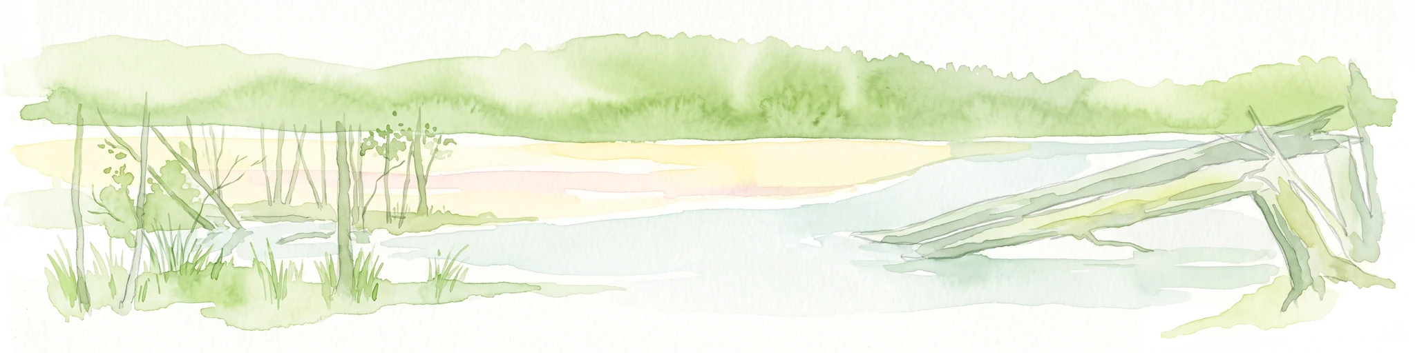
By the early twenty-first century, almost no open peat surfaces remained: the formerly treeless mire had become wooded because of long drainage and nutrient inputs. A defective pipeline caused the area to flood in winter and during heavy rain, then dry out in summer, producing major seasonal fluctuations in water levels. Following designation as a Naturschutzgebiet on 30 May 1998, the NaturSchutzFonds Brandenburg has been running a European Union LIFE project in the area since 2013 to reverse this trend. The pipeline has been destroyed, and a sohlgleite with a ford has been installed so that water can again flow over the old cut toward the Wustrickwiesen, stabilizing the hydrological conditions and supporting peat-forming vegetation.
Löptener Fenne, Wustrickwiesen Nature Reserve landscape and geographic character
The reserve occupies a gently undulating lowland landscape shaped by the last glaciation. Its terrain reflects the southern end of the former Großer Moddersee and an adjoining strip of wet ground running southwest from the lake basin toward the Berlin to Cottbus railway. The eastern boundary of the protected area is closely linked to the railway embankment, while its western edge is made up of additional parcels west of the tracks and west of the Löpten locality. Across this modest area, the elevation differences are small, but subtle topography strongly influences water movement and vegetation patterns.
Beneath a relatively shallow layer of peat, the underground contains gyttja-like mud layers more than ten meters thick, a record of the long lake phase that preceded the current mire. The combination of peat over deep organic muds makes the basin particularly sensitive to drainage. When the surface peat dries out, it decomposes and subsides, and the underlying muds are also exposed. This gives the landscape a sunken, locally dish-shaped character where former lake edges are still readable from aerial imagery and soil patterns.
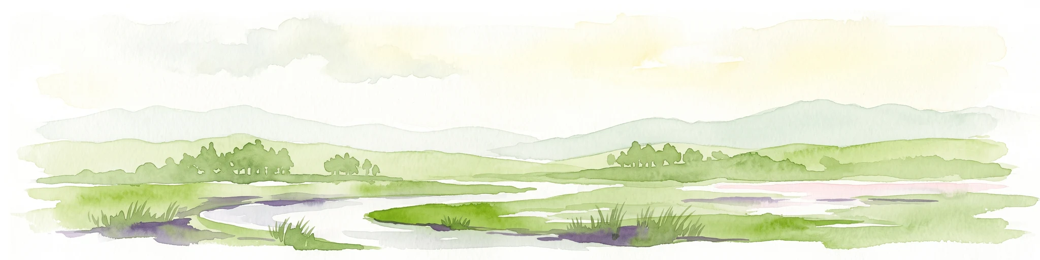
Within the protected area, the visible surface has changed dramatically over time. Eighteenth-century maps still depict an open lake that has since become a wooded peatland interspersed with wet meadows. Mowing for nutrient removal and the reintroduction of sheep-grazed meadows are gradually restoring more open habitat. Combined with the re-wetted hydrology, this is intended to reintroduce the structural contrast between open water, mire, and adjacent woodland that originally characterized the glacial landscape.
Löptener Fenne, Wustrickwiesen Nature Reserve ecosystems, habitats, and plant life
The nature of the Löptener Fenne–Wustrickwiesen area is fundamentally that of a degraded, formerly open mire that is slowly being restored. The vegetation is dominated today by secondary woodland that has colonized the drained peat surface, a state that conservation managers explicitly describe as inadequate. To counter this, ongoing interventions aim to take up nutrients from the system by harvesting biomass from the wetter meadows, and to stabilize the hydrology so that typical peat-forming plant communities can reassert themselves.
In the northern portions of the reserve, brown-moss sedge communities are still present, reflecting the area's identity as a basenriched, sedge-rich wet habitat. Streuwiesen, or litter meadows, are traditionally managed with sheep grazing. These wet meadows support characteristic species such as slender sedge (Draht-Segge), marsh trefoil (Fieberklee / Menyanthes trifoliata), and the tongue-leaved buttercup (Zungen-Hahnenfuß / Ranunculus lingua). These species are typical indicators of calcareous, moderately nutrient-rich fens and are central to the recovery target for the area.
Restoration planning also includes the deliberate reintroduction of selected higher plants and mosses expected to occur in a stable, near-natural peatland of this type. Together with the hydrological measures, this aims to recreate a structurally diverse mosaic of open water margins, sedge-dominated wet meadows, brown moss carpets, and – where conditions allow – regenerating peat-forming communities that may eventually slow or reverse the historical loss of peat mass.
Löptener Fenne, Wustrickwiesen Nature Reserve wildlife and species highlights
The available source material does not give a detailed inventory of the reserve's animal species. However, the wildlife significance of the site can be reasonably inferred from its habitat character. Sheep-grazed streuwiesen, rewetted peatland, reed and sedge communities, and adjacent wet woodland provide conditions that typically support a range of meadow-breeding birds, marshland invertebrates, amphibians tied to shallow fluctuating waters, and small mammals of the wet forest edge. The seasonal flooding dynamic, in particular, creates amphibian-friendly conditions in spring while still allowing grazing to continue later in the year.
Management with sheep is described as a tool for maintaining open meadow communities rather than as a habitat measure for specific herbivores. The choice of low-intensity grazing rather than heavy mechanical mowing is consistent with fostering insect diversity, including pollinators and other invertebrates that benefit from a varied sward structure. Combined with the planned increase in open water surfaces following the hydrological restoration, the site has the potential to host an increasingly rich community of marshland species, even if precise population information is not part of the available source.
Löptener Fenne, Wustrickwiesen Nature Reserve conservation status and protection priorities
From a conservation perspective, the reserve matters primarily because it preserves a fragment of a once extensive Brandenburg glacial meltwater corridor where lakes and mires formed a near-continuous landscape. Most of the lakes along this corridor still exist, but almost none has yet completed the natural transition into terrestrialized mire. The Löptener Fenne represents an intermediate, historically important stage in this successional sequence, even though centuries of drainage have pushed it far from its near-natural state.
Designation as a Naturschutzgebiet on 30 May 1998 gave the site formal IUCN Category IV status as a Habitat/Species Management Area, making conservation management – rather than strict protection alone – the legal foundation for the work being done. The current European Union LIFE project led by the NaturSchutzFonds Brandenburg is the most significant intervention so far. Its principal restoration actions include destroying the malfunctioning drainage pipeline, constructing a sohlgleite with a ford at the old breakthrough to the Wustrickwiesen, stabilizing year-round water levels, reducing seasonal fluctuation, and managing the meadows to draw down accumulated nutrients.
Looking forward, conservation priorities include re-establishing peat-forming vegetation, sustaining the hydrological improvements, and reviewing whether parts of the former lake bed could be returned to open water. Together, these measures are expected to reinvigorate the site as a functional, albeit small, component of Brandenburg's peatland landscape.
Löptener Fenne, Wustrickwiesen Nature Reserve cultural meaning and human context
The cultural context of the reserve is shaped above all by the long sequence of land improvement and drainage interventions that have marked the area since the early eighteenth century. The acquisition of the local estates by Friedrich Wilhelm I in 1717, and the drainage orders that followed, transformed what had been remote wetland into part of a productive agricultural estate. The later involvement of prisoner-of-war labor during the First World War, the postwar land reform division of large estates, and the eventual collectivization under a Landwirtschaftliche Produktionsgenossenschaft all illustrate how political and economic upheaval repeatedly reshaped how the land was managed and by whom.
The eighteenth-century Schmettausches Kartenwerk and the 1841 Urmesstischblatt together make the site an unusually well-documented case study in historical landscape change, allowing researchers to track the shrinking of the Löptener Fenne from a sizeable lake to a small mire basin over more than two centuries. The reserve is part of a larger network of Naturschutzgebiete in Landkreis Dahme-Spreewald that, taken together, form one of the densest concentrations of protected peatland and wetland sites in Brandenburg, and that reflect a long regional tradition of working with, and sometimes against, the Spree-region's wet landscapes.
Top sights and standout views in Löptener Fenne, Wustrickwiesen Nature Reserve
Among the strongest points of distinction are the unusually thick sequence of lake-derived muds, up to ten meters or more, lying beneath the peat of the former Fenne. This makes the site a valuable reference location for understanding the long-term transition from late-glacial lake to terrestrialized mire in the Brandenburg lowlands.
Equally distinctive is the integrated restoration approach, which combines hydrological redesign (a sohlgleite and ford replacing a failing buried pipeline), continued traditional use of streuwiesen through sheep grazing, and active plans to reintroduce characteristic vascular plants and mosses. The result is a compact landscape that simultaneously illustrates historical drainage damage and contemporary rewetting practice, making it a useful reference site within the broader Dahme-Spreewald system of protected Moore und Feuchtgebiete.
Best time to visit Löptener Fenne, Wustrickwiesen Nature Reserve
Loose seasonal visiting considerations can be drawn from the reserve's character as a rewetted peatland with grazed wet meadows. Late spring and early summer are typically the most rewarding period for visiting similar Brandenburg mires, when sedge and trefoil communities are in flower, sheep are actively grazing the meadows, and water levels are relatively high after winter recharge. These conditions make the vegetation structure of the wet meadows, including the orange-yellow blooms of marsh trefoil, easiest to appreciate.
Late summer and autumn tend to showcase seed heads of sedges, changing foliage in the secondary woodland, and a generally drier and more accessible underfoot situation on the meadows, though the rewetted peats can still be very soft. Winter visits, while atmospheric, are less likely to reveal the meadow flora for which the reserve is managed. Visitors should always keep to marked paths and respect grazing livestock on the streuwiesen.