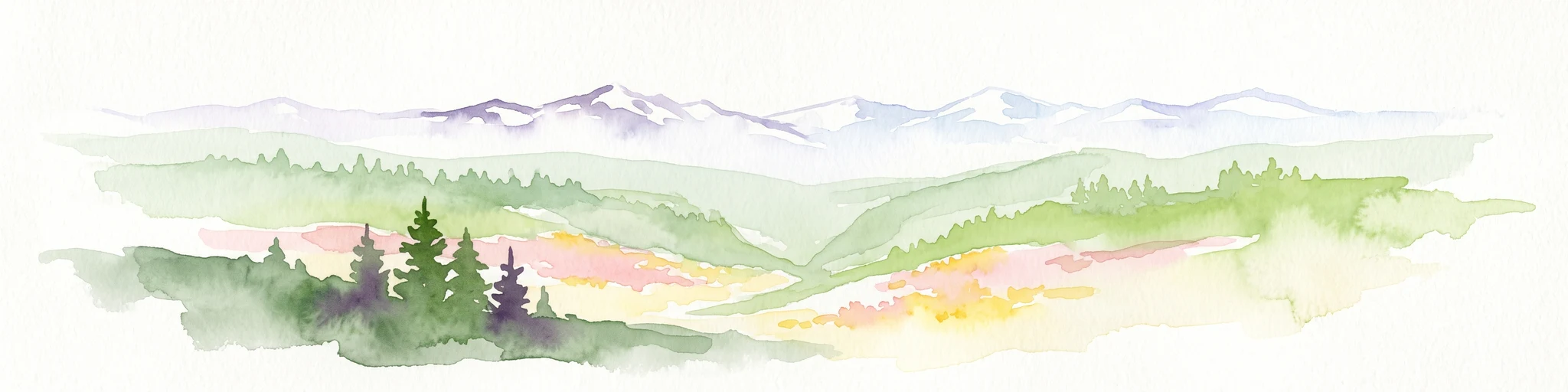
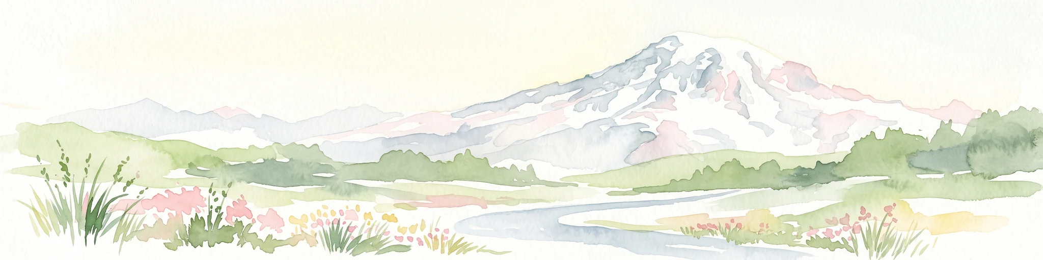
A Cascade wilderness of basalt cliffs, old-growth forests, and waterfall-lined trails on the north face of Mount Hood.
Mark O. Hatfield Wilderness
The Mark O. Hatfield Wilderness is a federally designated wilderness area set on the northern slopes of Mount Hood in the northwestern Cascade Range of Oregon. Sitting within the broader Mount Hood National Forest and adjacent to the Columbia River Gorge, the wilderness protects a steep and varied landscape that climbs from the Columbia River nearly five thousand feet into subalpine terrain. Its combination of deep canyons, towering basalt features, old-growth forests, and long-distance trails has made it one of the more popular Cascade wilderness destinations near Portland. The area is named in honor of Mark Hatfield, a longtime Oregon governor and United States senator who was a notable advocate for conservation and public lands.
The wilderness is defined by its dramatic vertical relief, with elevation shifting from low along the Columbia River to high along the ridges and peaks overlooking the Gorge. Major drainages such as Herman Creek, Eagle Creek, and Tanner Creek have carved the terrain into some of the most iconic canyon scenery in the Pacific Northwest. Within this setting, the wilderness preserves old-growth Douglas-fir, hemlock, and cedar stands at lower elevations, while higher zones transition to forested plateaus, hanging meadows, subalpine lakes, and exposed ridgelines with sweeping views.
Recreation is one of the defining aspects of the Hatfield Wilderness, drawing hikers, backpackers, and nature observers throughout the warmer months. Around two hundred miles of trails wind through the area, including a segment of the Pacific Crest Trail, and the proximity of the wilderness to the Portland metropolitan area makes it an accessible escape into the Cascades. The area's mix of geological grandeur, mature forests, and waterfall-rich canyons gives it a strong sense of place within Oregon's protected landscapes.