
Mori Atlas logo
Protected landscapeMittleres Starzeltal

Tracing the mapped boundaries of forest corridors, orchard meadows, and tributary valleys.

Mittleres Starzeltal Protected Landscape: An Atlas of the Starzel Valley Geography in Zollernalbkreis

(Landschaftsschutzgebiet „Mittleres Starzeltal“)

Mittleres Starzeltal functions as a critical protected landscape within the Zollernalbkreis district of Baden-Württemberg, Germany. This area preserves a continuous mosaic of valley floors, wooded slopes, and agricultural fields along the Starzel river corridor. By mapping the confluence of side streams like the Sulzbach and Zimmerbach, the geography reveals an interconnected network of natural terrain that serves as a vital transition zone between higher Swabian Alb elevations and the valley basin.

Swabian Alblandscape protection areariver valleyStarzel valleymixed forestorchard meadows
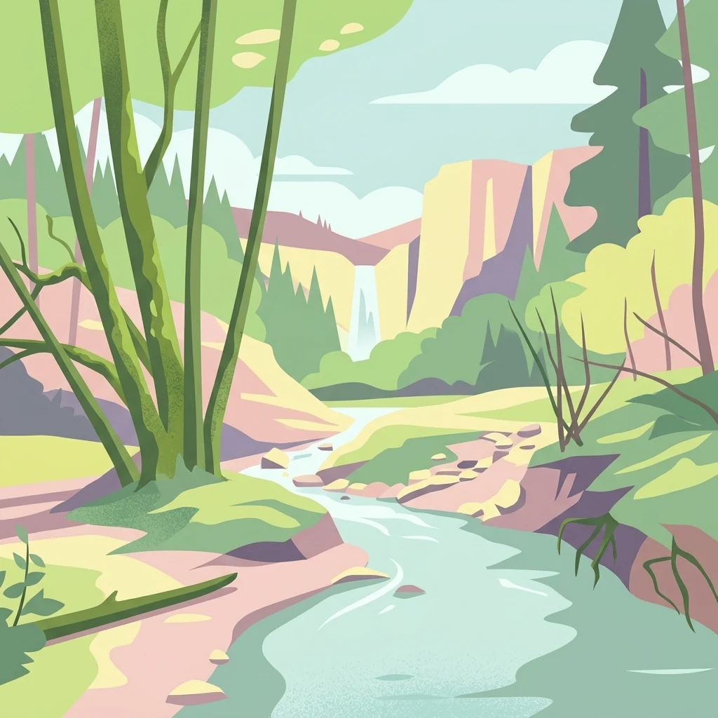
A flat-style digital illustration of a serene natural landscape featuring a river winding through trees, with a waterfall cascading down distant cliffs under a pale sky.

Mittleres Starzeltal

Protected landscape

Park overview

Structured park overview, official facts, and landscape profile for Mittleres Starzeltal

Mittleres Starzeltal park facts, protected area profile, and essential visitor context

Review the core facts for Mittleres Starzeltal, including designation, size, terrain, visitor scale, habitats, and operating context in one park-focused overview.

About Mittleres Starzeltal

Mittleres Starzeltal is a protected landscape area in the Zollernalbkreis district of Baden-Württemberg in southwestern Germany. Designated in 1963, it preserves a continuous stretch of valley landscape along the middle reaches of the Starzel river, a tributary of the Neckar, as well as several of its smaller side streams and the forested hillsides that enclose them.

The protected area sits east of the town of Hechingen and extends northward toward Rangendingen, reaching close to the district boundary. It covers the Starzel valley between Hechingen-Stein and Rangendingen, and includes tributary valleys and streams such as the Sulzbach, Ramsbach, Möchsgraben, and Zimmerbach. The Zimmerbach forms part of the southeastern outer boundary of the area. Administratively, the landscape spans parts of the city of Hechingen and the municipalities of Bisingen and Rangendingen.

The landscape character of the area is defined by large expanses of forest combined with traditional countryside elements. Around Rangendingen, the forest edges transition into orchard meadows, while around Hechingen there are larger open meadows and arable fields. Former sheep pastures, such as the Martinsberg near Hechingen, are also part of the protected landscape and reflect its long-standing agricultural heritage.

Mittleres Starzeltal functions as an important connecting landscape within the broader network of protected areas in the Zollernalbkreis. It borders several nature reserves, including Hohegert, Winterhalde, Lauchhalde, and Espenloch-Hintere Halde, and smaller sections overlap with the FFH areas Rammert, Neckar and Seitentäler bei Rottenburg, and Gebiete zwischen Bisingen, Haigerloch und Rosenfeld. Together with the neighboring Rauher Rammert landscape protection area to the north, it forms part of a wider corridor of protected countryside along the northern edge of the Swabian Alb.

Quick facts and research context for Mittleres Starzeltal

Mittleres Starzeltal is a landscape protection area (Landschaftsschutzgebiet) established on 10 October 1963 through a decree issued by the former Landratsamt Hechingen. It lies within the Zollernalbkreis district of Baden-Württemberg and covers portions of Hechingen, Bisingen, and Rangendingen.

The area extends along the middle section of the Starzel river between Hechingen-Stein and Rangendingen and includes several tributaries such as the Sulzbach, Ramsbach, Möchsgraben, and Zimmerbach. It is classified as IUCN Category V (Protected Landscape/Seascape) and is recorded in the World Database on Protected Areas under WDPA ID 323010.

Protection and recognition

Documented terrestrial protected area status and management framework details.

Mittleres Starzeltal Protection Status and Regional Conservation Scope

Conservation records for Mittleres Starzeltal outline the terrestrial protection scope and associated geographic designation data. Systematic administrative tracking provides verifiable context for global protected area databases.

Protection details

Protection scope
Terrestrial
Transboundary protection
No
WDPA ID
323010
Park context

Deeper park guide and search-rich context for Mittleres Starzeltal

Mittleres Starzeltal history, landscape, wildlife, and travel context

Explore Mittleres Starzeltal through its history, landscape character, ecosystems, wildlife, conservation priorities, cultural context, and seasonal travel timing in a structured park guide built for atlas discovery and search intent.

Why Mittleres Starzeltal stands out

Mittleres Starzeltal is best known for protecting the middle Starzel valley with its forested slopes, small tributary streams, and mosaic of orchard meadows and farmland along the valley margins. The area represents a characteristic Swabian Alb valley landscape where woodland, traditional orchards, and agricultural land interlock along a single river corridor. The protection of the Starzel river section between Hechingen-Stein and Rangendingen, together with tributaries such as the Sulzbach, Ramsbach, Möchsgraben, and Zimmerbach, gives the area its distinct identity as a continuous wooded valley landscape within the Zollernalbkreis conservation network.
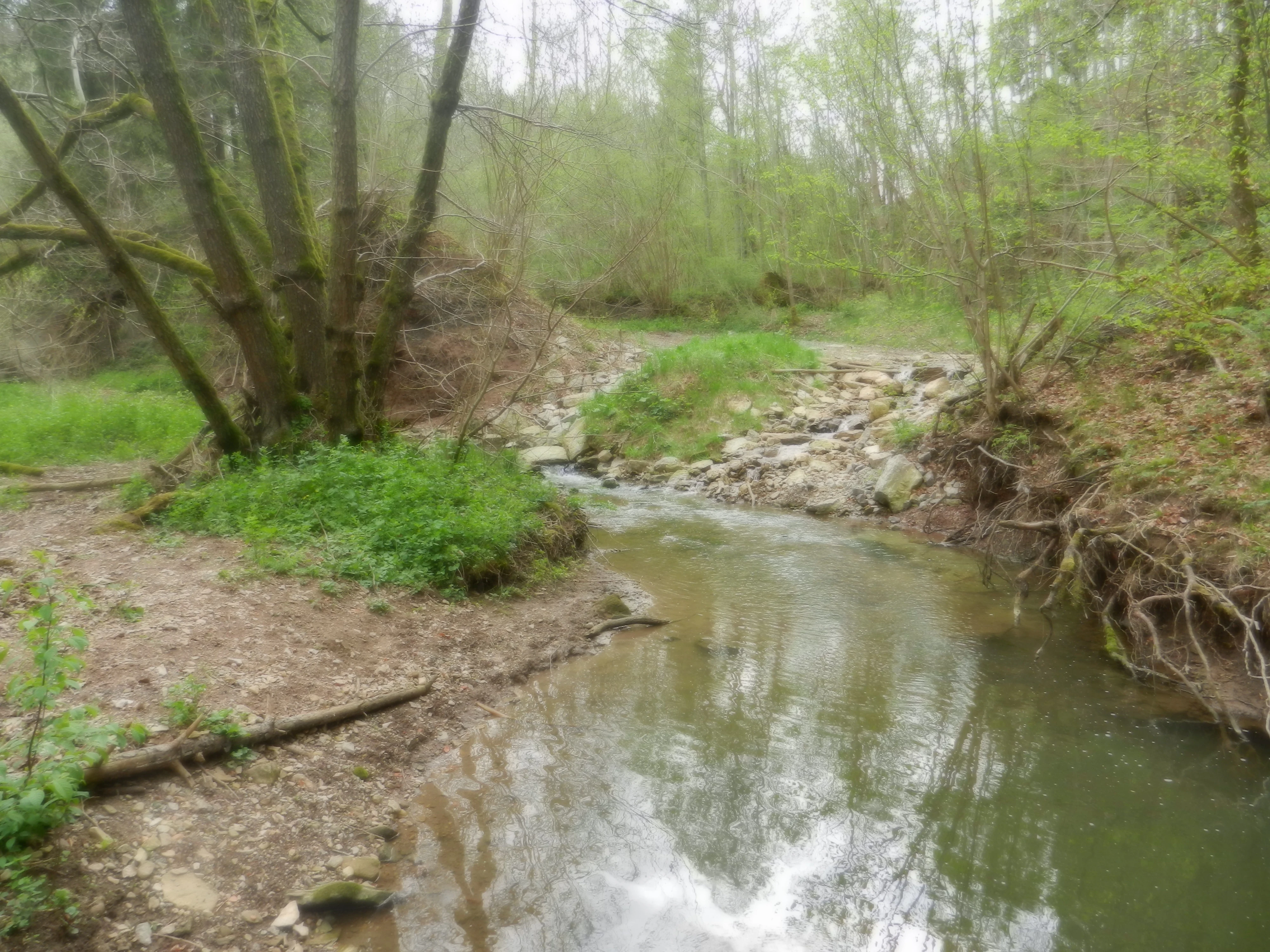
A small creek flowing through a forested area with green foliage and dirt banks.
The confluence of two small streams in the Mittleres Starzeltal area.

Mittleres Starzeltal history and protected-area timeline

Mittleres Starzeltal was established as a protected landscape on 10 October 1963 through a decree issued by the Landratsamt Hechingen, the district office of the former Landkreis Hechingen. From the outset it was designed to safeguard the middle Starzel valley and its surrounding wooded and agricultural landscape from uncoordinated development.

Since its designation the area has been reduced in size on several occasions. The most significant reason for this reduction was the creation of separate nature reserves within the original boundaries, which collectively removed about 85 hectares from the landscape protection area. In addition, in 2004 several areas that had been earmarked for residential development were excluded from the protection zone, reflecting changing land use priorities around the municipalities of Hechingen, Bisingen, and Rangendingen.

Today the area continues to be administered by the Landratsamt Zollernalbkreis and remains part of the interconnected system of protected landscapes and nature reserves in the district.

Mittleres Starzeltal landscape and geographic character

The protected landscape follows the middle Starzel valley, a tributary valley carved into the northern edge of the Swabian Alb. The valley runs roughly east to west through the municipalities of Hechingen, Bisingen, and Rangendingen, and the protected area tracks its course from Hechingen-Stein in the south up to the northern district boundary near Rangendingen.

The terrain is shaped by the river itself and several side streams, including the Sulzbach, Ramsbach, Möchsgraben, and Zimmerbach. The Zimmerbach marks part of the southeastern outer boundary of the area. Forests cover large portions of the slopes and side valleys, while the valley floors and edges carry a mixture of grassland, arable fields, orchard meadows, and relict pasture land. The Martinsberg near Hechingen is a notable former sheep pasture hill within the protected landscape.

Together these features create a continuous valley landscape in which woodland, traditional orchard strips, and cultivated fields alternate along the river and its tributaries, giving the area its typical Swabian Alb valley character.

Mittleres Starzeltal ecosystems, habitats, and plant life

Mittleres Starzeltal protects a representative section of valley habitat on the northern Swabian Alb, where forested slopes, small stream corridors, traditional orchard meadows, and arable land meet along the Starzel river and its tributaries.

The extensive forests on the hillsides are a defining habitat feature, particularly around the side valleys of the Sulzbach, Ramsbach, Möchsgraben, and Zimmerbach. These wooded areas connect the landscape protection area with the neighboring nature reserves of Hohegert, Winterhalde, Lauchhalde, and Espenloch-Hintere Halde, forming a larger continuum of forest habitat in the district.

Along the valley edges, orchard meadows near Rangendingen and the larger meadows and arable areas around Hechingen add open and semi-open habitats to the ecological mosaic. Smaller portions of the area fall within the FFH sites Rammert, Neckar und Seitentäler bei Rottenburg, and Gebiete zwischen Bisingen, Haigerloch und Rosenfeld, linking the valley landscape to the wider Natura 2000 network of the region.

Mittleres Starzeltal conservation status and protection priorities

Mittleres Starzeltal is classified as a Protected Landscape under IUCN Category V and is recorded in the World Database on Protected Areas under WDPA ID 323010. Its primary conservation purpose is to preserve the open and partly wooded valley landscape along the middle Starzel river and to maintain the traditional land use patterns that shape the area.

The landscape protection area plays a connective role within the broader conservation system of the Zollernalbkreis. It links several smaller nature reserves and overlaps in parts with FFH areas, including Rammert, Neckar und Seitentäler bei Rottenburg, and Gebiete zwischen Bisingen, Haigerloch und Rosenfeld. Together with the neighboring Rauher Rammert landscape protection area, it forms part of a wider corridor of protected countryside on the northern edge of the Swabian Alb.

Over time, the establishment of dedicated nature reserves within the original boundaries has reduced the landscape protection area by roughly 85 hectares, concentrating stricter protection on the most ecologically valuable sections while the remaining landscape protection area continues to safeguard the broader valley setting.

Mittleres Starzeltal cultural meaning and human context

The landscape of Mittleres Starzeltal reflects the long agricultural history of the Hechingen, Bisingen, and Rangendingen area on the northern Swabian Alb. Traditional orchard meadows around Rangendingen, larger meadow and arable complexes around Hechingen, and former sheep pastures such as the Martinsberg near Hechingen point to centuries of mixed agricultural use that continue to shape the cultural character of the valley.

Top sights and standout views in Mittleres Starzeltal

Mittleres Starzeltal stands out for its continuous valley landscape along the middle Starzel river between Hechingen-Stein and Rangendingen, with the Zimmerbach defining the southeastern edge of the protected zone. The combination of large forested slopes, traditional orchard meadows, and former pasture land gives the area a strong sense of an intact Swabian Alb valley.

Its role as a connecting landscape between the nature reserves Hohegert, Winterhalde, Lauchhalde, and Espenloch-Hintere Halde and the neighboring Rauher Rammert protected landscape makes Mittleres Starzeltal a key element of the conservation mosaic of the Zollernalbkreis.

Best time to visit Mittleres Starzeltal

The valley landscape of Mittleres Starzeltal can be appreciated throughout much of the year, but late spring and early summer are particularly attractive when the orchard meadows around Rangendingen come into blossom. Early autumn brings colorful foliage to the valley forests, while quieter winter periods can reveal the open structure of the valley landscape without heavy vegetation cover. Harsh weather conditions on the exposed slopes should be considered outside the main seasons.

Monthly climate preview

Measured annual temperature ranges and precipitation patterns for Zollernalbkreis

Mittleres Starzeltal Climate Normals and Long Term Weather by Month

Representative coordinate data reveals long term monthly temperature averages spanning from subzero winter minimums to warm summer maximums alongside steady precipitation rates. Reviewing these multiyear climate normals provides essential baseline context for the protected landscape without relying on short term forecasts.
Annual mean8 °C
-1 °C18 °C
Jan-1°
Feb
Mar
Apr
May12°
Jun16°
Jul18°
Aug18°
Sep14°
Oct
Nov
Dec
Warmest month
July

18.1 °C

Coolest month
January

-0.9 °C

Wettest month
July

3.1 mm/day

Driest month
April

1.9 mm/day

Park location guide

Geography guide, regional context, and park location map for Mittleres Starzeltal

Mittleres Starzeltal park geography, regions, and map view in Germany

Understand where Mittleres Starzeltal sits in Germany through a broader geographic reading of the surrounding landscape, nearby location context, and its mapped position within the national park landscape.

How Mittleres Starzeltal fits into Germany

Germany is a federal republic in Western and Central Europe with a population of over 83 million across sixteen constituent states. It is Europe's largest economy by nominal GDP and a major global exporter and importer. The capital is Berlin, and the country borders Denmark, Poland, Czech Republic, Austria, Switzerland, France, Luxembourg, Belgium, and the Netherlands.

Wider geography shaping Mittleres Starzeltal in Germany

Germany is located in Western and Central Europe, spanning 357,022 km². It borders Denmark to the north, Poland and the Czech Republic to the east, Austria and Switzerland to the south, and France, Luxembourg, Belgium, and the Netherlands to the west. The country has coastlines on the Baltic Sea and North Sea to the north, with the Alps located in the southern region.

Map view of Mittleres Starzeltal

Use this park location map to pinpoint Mittleres Starzeltal in Germany, understand its exact geographic position, and read its mapped placement within the surrounding landscape more clearly.

Pigeon | © OpenStreetMap contributors

Location context for Mittleres Starzeltal

Baden-WürttembergZollernalbkreis

Visualizing the wooded valley terrain, river corridors, and orchard meadows of the Swabian Alb

Mittleres Starzeltal Photos and Protected Landscape Scenery

Browse detailed photographs capturing the protected terrain, forested slopes, and traditional orchard mosaics of Mittleres Starzeltal. These visual references reveal the characteristic river valley environment and conservation layout that define the region.

A small creek flowing through a forested area with green foliage and dirt banks.

Park atlas

Discover related river valleys and connected conservation areas across the region

Explore Parks Near Mittleres Starzeltal and Surrounding Protected Landscapes

Browsing other parks near Mittleres Starzeltal reveals a rich network of protected valley landscapes and forested terrain across the surrounding region. Comparing adjacent nature reserves helps trace the broader geographical continuity of the local river corridors and wooded slopes.
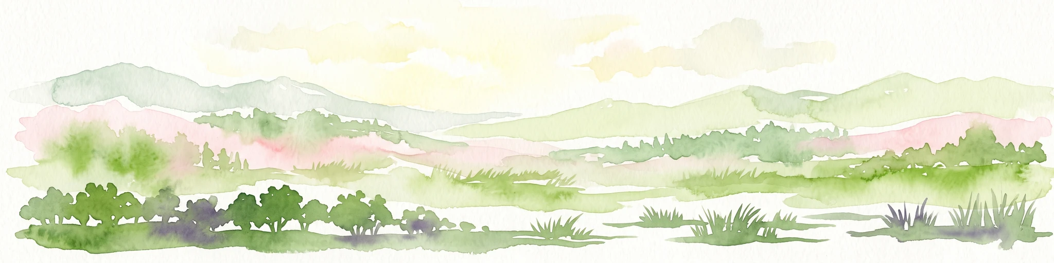
A minimalist watercolor illustration showing a winding river flowing through a soft green landscape with rolling hills in the background and clusters of trees.
Nature reserveBaden-Württemberg
About 8.1 km away#1 closest

Southwest

Gebiete zwischen Bisingen, Haigerloch und Rosenfeld Nature Reserve and Geographic Context

Fragmented protected terrain in the Swabian Alb foothills

Gain insight into the fifteen separate fragments that constitute this protected nature reserve in Baden-Württemberg. From open limestone meadows to narrow floodplain strips, the area represents a critical mosaic of EU-protected habitat types that demand careful geographic consideration and mapping.

Area
7.53 km²
Established
2019
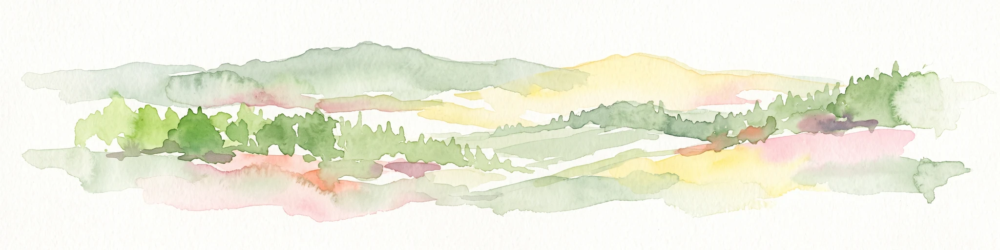
Watercolor painting of a rolling rural landscape with forested hills and open fields in muted green, yellow, and soft pink tones.
Protected landscapeBaden-Württemberg
About 9.1 km away#2 closest

Southeast

Oberes Starzeltal und Zollerberg Protected Landscape: Regional Geography and Terrain

Swabian Alb limestone topography and river valley systems.

Oberes Starzeltal und Zollerberg represents a core landscape protection area on the western Swabian Alb, defined by its distinct Middle Jurassic limestone geology. The area connects critical habitats across the Zollernalbkreis district, featuring steep wooded slopes and open sheep-grazed grasslands. Through this atlas entry, visualize the environmental continuity between the Starzel river valley and the surrounding agricultural plateau, which together form a essential component of the regional protected-area network.

Area
79 km²
Established
1972
IUCN
V
Relief
Mountain
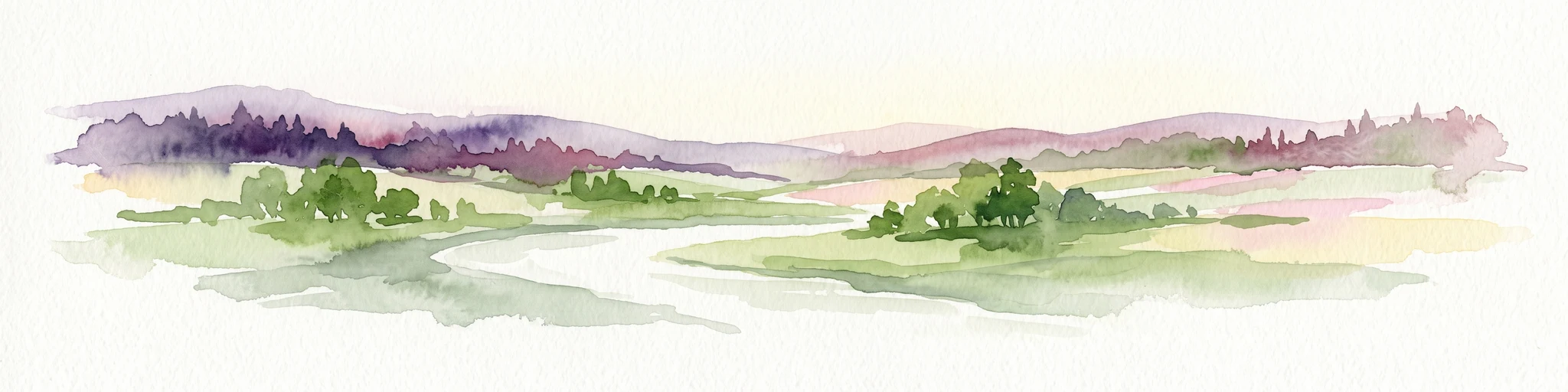
A watercolor painting showing a wide view of a winding river flowing through a lush green valley with distant purple hills and forested ridges.
Protected landscapeLandkreis Tübingen
About 10 km away#3 closest

Northwest

Oberes Neckartal mit den Seitentälern Rommelstal, Starzeltal und Eyachtal Protected Landscape

Geographic landscape analysis of the upper Neckar river valley and its forested tributaries.

Situated within Landkreis Tübingen, this protected landscape is defined by its distinct Muschelkalk geology and the interplay between deep valley slopes and open orchard meadows. The area encompasses the upper Neckar river valley along with the side valleys of Rommelstal, Starzeltal, and Eyachtal. This detailed landscape profile provides insight into the structured natural environment, forest coverage, and fluvial terrain that characterize this region of southwestern Germany.

Area
23.364 km²
Established
1981
IUCN
V
Relief
Upland
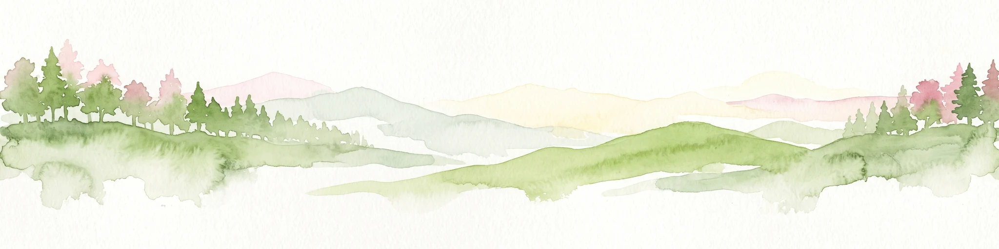
Watercolor painting of a green, rolling landscape with forested hills and a soft, hazy background.
Protected landscapeBaden-Württemberg
About 16 km away#4 closest

North

Pfaffenberg Landscape Protection Area: Geography and Mapped Natural Features

Examining geological formations and cultural land use in Baden-Württemberg

Pfaffenberg is a significant protected landscape in Germany, recognized for its identity as an isolated Keuper-stage Zeugenberg. The area preserves a unique mosaic of mixed forest and historic orchard meadows, revealing the complex geological and agricultural heritage of the upper Neckar region within the Baden-Württemberg state boundaries.

Area
3.168 km²
Established
1967
IUCN
V
Protected landscapeBaden-Württemberg
About 16 km away#5 closest

North

Unteres Ammertal Protected Landscape: Regional Geography and Valley Maps

A structured cultural valley in Baden-Württemberg

Unteres Ammertal serves as a critical example of a managed agricultural landscape near Tübingen. This protected area preserves a rich variety of wet meadows, hedgerows, and river channels, offering insights into the complex land-use patterns of the Swabian foothills and the broader ecology of the Neckar basin.

Area
3.479 km²
Established
1999
IUCN
V
Relief
Lowland
Protected landscapeBaden-Württemberg
About 17 km away#6 closest

West

Heselgraben Protected Landscape: Baden-Württemberg Regional Geography and Terrain Mapping

A classic mosaic of meadows and fields in the Obere Gäue region

Heselgraben represents a significant protected area within the Baden-Württemberg state, characterized by its intricate juxtaposition of small-scale agricultural habitats. Located between Muschelkalk and Keuper geological zones, the landscape provides a dense, mapped look at traditional European hedgerow and grassland management along the Empfinger Bach stream.

Area
0.378 km²
Established
1989
IUCN
V
Relief
Upland
Protected landscapeBaden-Württemberg
About 18 km away#7 closest

North

Oberes Ammertal mit dem Seitental Merkental Protected Landscape and Regional Map Context

Baden-Württemberg protected valley and limestone terrain

Situated in the Schönbuch and Glemswald region, this protected area safeguards the upper Ammer valley's meadow floodplains and botanical limestone slopes. It represents a significant mosaic of habitat types; including dry grassland and small quarry-fed water bodies; that maintain the ecological integrity of the local southwestern German geography.

Area
0.202 km²
Established
1982
IUCN
V
Protected landscapeBaden-Württemberg
About 20 km away#8 closest

Northwest

Südhänge des Neckartales, Berghänge des Haugenloches, Alte Bildechinger Steige, Altheimer Tal und angrenzende Hochflächen

Protected Landscape in the Upper Neckar Valley, Baden-Württemberg

This protected area preserves a mosaic of forested slopes, juniper heaths, and agricultural plateaus along the Neckar. It offers a clear view into the cultural history and regional geography of the Obere Gäue in southwestern Germany.

Area
2.62 km²
Established
1965
IUCN
V

Common questions about visiting, size, designation, and location context for Mittleres Starzeltal

Mittleres Starzeltal FAQs for park facts, access, geography, and protected area context

Find quick answers about Mittleres Starzeltal, including protected-area facts, park geography, trail and visitor context, and how the park fits into its surrounding country and regional landscape.
MoriAtlas Explorer

Continue Your Protected Areas Search Across the Global Atlas

Deepen your exploration by continuing the structured search for national parks and protected areas worldwide. Utilize the comprehensive filtering capabilities to compare different conservation landscapes and refine your understanding of global park geography. Discover more about the distribution and characteristics of protected natural areas.

Global natural geography