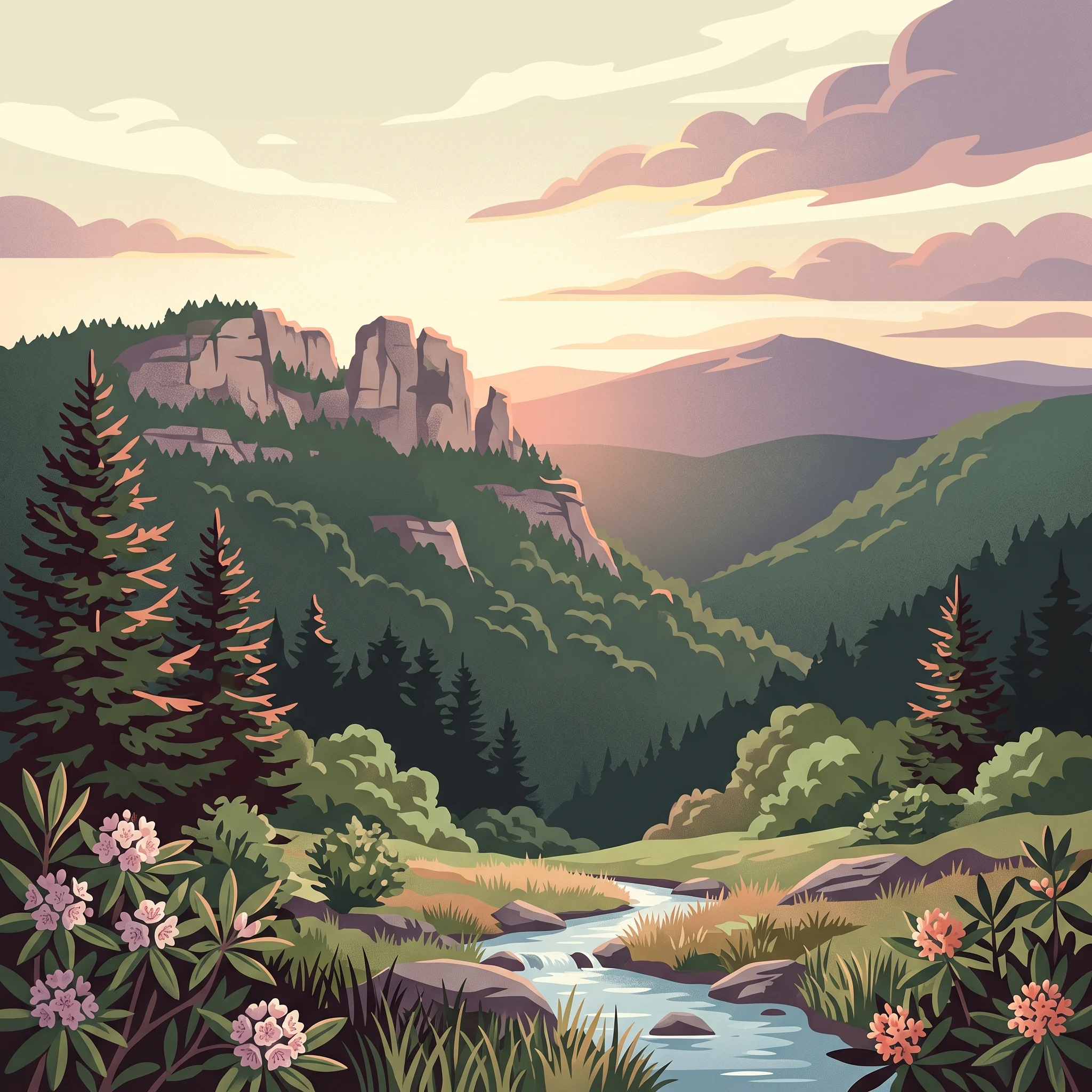
A vast Appalachian forest protecting West Virginia's highest mountains, sprawling wilderness, and rugged Appalachian highlands.
Monongahela National Forest
Monongahela National Forest is the largest and most ecologically significant national forest in West Virginia, encompassing a vast swath of the Allegheny Mountains in the eastern part of the state. It spans ten counties across the Potomac Highlands region and represents one of the great eastern forest restoration efforts of the 20th century. Most of today's forest is second growth, having regenerated after the heavy logging of the late 19th and early 20th centuries had stripped the landscape bare.
The forest's identity is shaped by the Allegheny Front, a major Appalachian escarpment that runs through the heart of the protected area. West-facing slopes receive abundant moisture, supporting dense hardwood forests, rhododendron, mountain laurel, and high-elevation red spruce communities. East-facing slopes fall into a marked rain shadow, producing drier forests, exposed rock, and unusual habitats such as shale barrens where drought-tolerant species like cactus grow alongside Appalachian endemics.
Beyond its ecological value, Monongahela plays a major role in watershed protection, supplying the headwaters of six major river systems: the Monongahela, Potomac, Greenbrier, Elk, Tygart, and Gauley. Twelve of its rivers are under study for inclusion in the National Wild and Scenic Rivers System. The forest is also a premier outdoor recreation destination, offering developed campgrounds, miles of hiking and biking trails, climbing at Seneca Rocks, and expansive wilderness backpacking in areas like the Cranberry and Dolly Sods Wildernesses.
Its inclusion of eight congressionally designated Wilderness Areas, a National Recreation Area, two visitor centers, and an extensive network of over 800 miles of trails makes Monongahela a cornerstone of Appalachian conservation and one of the most complex federally managed landscapes east of the Mississippi River.