
Mori Atlas logo
Park earthquake history

Explore a geographic catalogue of documented earthquake epicentres mapped to the Mount Hood Wilderness vicinity.

Historical Earthquake Records and Recorded Seismic Activity Near Mount Hood Wilderness

This historical record tracks seismic events associated by proximity to the Mount Hood Wilderness in Oregon. The catalogue provides a structured overview of documented earthquakes, featuring data points such as occurrence dates, magnitudes, and epicentre distances. These records offer geographic context for seismic activity observed within the broader vicinity of this protected volcanic landscape.

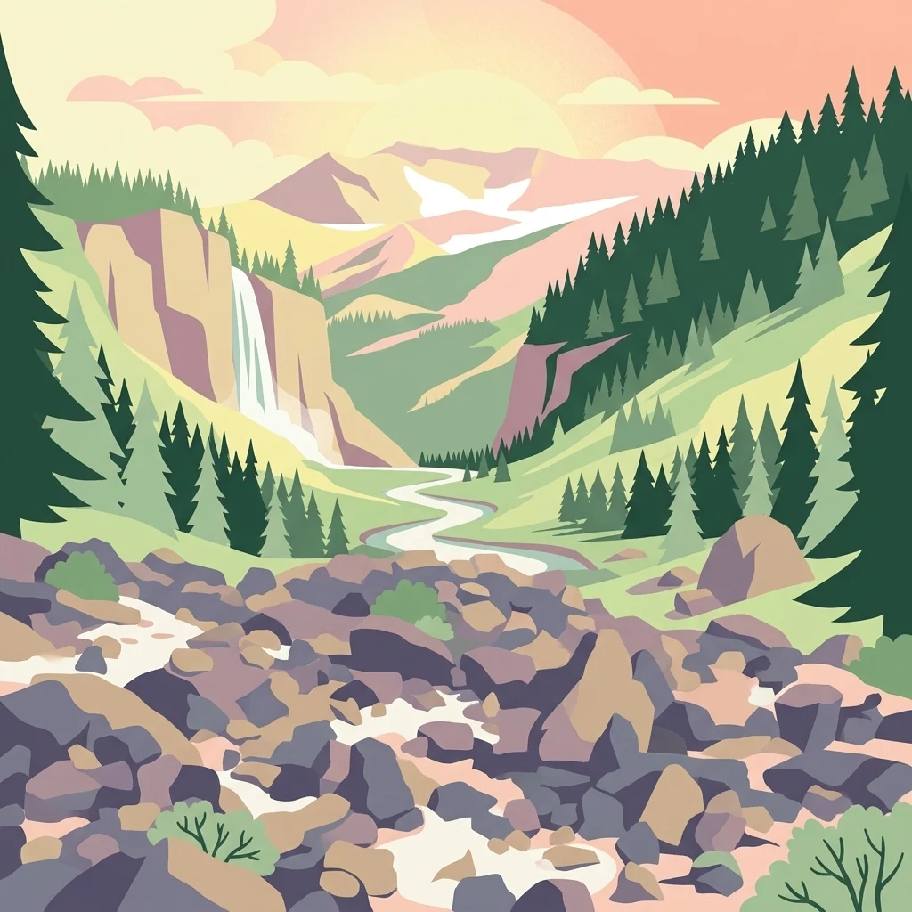
A stylized digital illustration of a mountainous landscape with a waterfall flowing down a cliff, a winding river, evergreen forests, and a rocky foreground under a soft sunset sky.

Glaciers, alpine ridges, and old-growth forests wrapped around Oregon's tallest peak

Mount Hood Wilderness

The Mount Hood Wilderness is a federally designated wilderness area inside the Mount Hood National Forest in Oregon. Encompassing roughly 65,000 acres around the upper slopes and summit of Mount Hood, the area ranges from temperate rainforests on its lower flanks to glaciated volcanic ridges and snowfields near the summit. The wilderness wraps around the mountain from its western to northeastern sides, integrating with established ski infrastructure such as Timberline Lodge and Mount Hood Meadows on the south and east slopes. It is one of the most heavily used wilderness areas in the United States, largely because of Mount Hood's accessibility from the Portland metropolitan area and the mountain's status as the most climbed snow-clad peak in the country. Protected under the 1964 Wilderness Act, the area preserves an intact gradient of Pacific Northwest ecosystems, including old-growth forests, alpine meadows, basaltic canyons, and active glaciers. The wilderness supports both recreational climbing and a broader pattern of backcountry hiking, camping, and wildlife habitat that defines the Mount Hood region.

Location
United States of America
Park type
Wildlife reserve
Established
1964
Area
262 km²
Highest point
3,429 m
Mount Hood Wilderness Geography

Explore Mount Hood Wilderness events by date and distance

Browse historical earthquakes around Mount Hood Wilderness

The Mount Hood Wilderness earthquake catalogue relates observations by epicentre and distance to the wilderness, not a claim that every event fell within its boundary. Explore dates, magnitudes, depths, locations, distances, and sources without drawing conclusions about wilderness-driven seismicity, present safety, or future earthquakes.

Sort by
Magnitude
Location

This page describes catalogued earthquakes associated with the park by epicentre location and distance. It does not establish causation, assess current danger, or predict future earthquakes.

No earthquake records match the current filters

Park atlas

Move beyond Mount Hood Wilderness earthquake history

Explore additional protected parks after Mount Hood Wilderness

Mount Hood Wilderness earthquake history is followed by an independent selection of parks for broader atlas exploration. The suggested destinations are not presented as sharing its mountain setting, wilderness designation, geological conditions, seismic record, nearby location, hazard profile, risk, or source completeness.
A watercolor painting showing a snowy mountain peak in the background rising above rolling green hills and pine forests in the foreground.
Protected landscapeOregon
Park boundaries overlap#1 closest

East

Mount Hood National Forest: Atlas of Protected Landscapes and Volcanic Geography

Exploring the Cascade Range terrain and wilderness boundaries in Oregon.

Mount Hood National Forest encompasses a vast, rugged expanse of the Oregon Cascades, anchored by the iconic, glacier-clad Mount Hood. This protected landscape contains extensive old-growth forests, high-alpine lakes, and deep river canyons. Discover the geographic extent of these wilderness areas and mountain terrain within the MoriAtlas database of protected lands.

Area
4,318.17 km²
Established
1908
Visitors
4.4M annual
Relief
Mountain
Protected landscapeOregon
Park boundaries overlap#2 closest

Southeast

Mount Hood National Recreation Area: Oregon Protected Landscape and Regional Geography

A three-unit recreational forest landscape in the Cascade Range.

Spanning over 34,000 acres, this protected landscape frames the lower volcanic slopes and forested drainages around Mount Hood. The area integrates river corridors, wilderness boundaries, and subalpine terrain, offering a clear view of the complex topography that defines the Cascade Range in northern Oregon.

Area
139.8 km²
Established
2009
Relief
Mountain
Climate
Temperate
Wildlife reserveOregon
12 km away#3 closest

North

Mark O. Hatfield Wilderness: An Atlas of Basalt Canyons and Cascade Mountain Terrain

Protected rugged wilderness located in Oregon

Spanning from the Columbia River Gorge to the slopes of Mount Hood, the Mark O. Hatfield Wilderness preserves an array of forest stands, hanging meadows, and steep ridgelines. The area serves as a critical geographic hub within the Cascade Range, offering detailed insight into the volcanic geology and drainage systems that shape this iconic portion of Oregon.

Area
266.37 km²
Established
1984
IUCN
Ib
Relief
Mountain
Wildlife reserveOregon
About 13 km away#4 closest

Southwest

Roaring River Wilderness: Geography and Protected Area Atlas of Oregon

Ancient forest corridors and alpine lake landscapes

Roaring River Wilderness is a federally protected landscape in Oregon, defined by steep, tree-covered ridges and the vigorous Roaring River. This wilderness preserves a dense mosaic of old-growth conifers, high-elevation alpine lakes like Serene and Shellrock, and important salmon-spawning waters within the broader Mount Hood National Forest geography.

Area
148 km²
Established
2009
IUCN
Ib
Relief
Mountain
A horizontal watercolor illustration featuring a waterfall on the left, a range of rolling mountains in the background, and clusters of trees in the midground, rendered in soft, blended colors.
Protected landscapeWashington
26 km away#5 closest

North

Gifford Pinchot National Forest: Geographic Overview of Washington's Volcanic Cascade Protected Lands

Mapping volcanic peaks, deep river canyons, and old-growth wilderness corridors

Gifford Pinchot National Forest represents a major protected expanse in the Washington Cascades, characterized by a complex volcanic topography that includes active craters, cinder cones, and rugged lava fields. This atlas entry details the forest's primary geographic features, from the high-elevation alpine terrain of the Goat Rocks to the river-carved valleys of the Lewis and Cowlitz systems, providing essential context on this integral Pacific Northwest protected landscape.

Area
5,347.95 km²
Established
1908
Visitors
1.8M annual
Relief
Mountain
Protected landscapeOregon
47 km away#6 closest

South

Willamette National Forest: Geography and Protected Landscapes of the Central Oregon Cascades

Mapped terrain, old-growth forests, and protected wilderness boundaries.

Explore the expansive territory of Willamette National Forest, a primary protected area extending over 100 miles along Oregon's Cascade Range. This region features volcanic peaks exceeding 10,000 feet, extensive old-growth Douglas-fir stands, and a dense network of Wild and Scenic rivers, providing a detailed look at the geographic character and ecological heritage of the Pacific Northwest.

Area
6,790.75 km²
Established
1933
Visitors
1.7M annual
Relief
Mountain
A watercolor painting showing a soft, stylized landscape of a green forested valley with distant rolling hills.
Wildlife reserveWashington
53 km away#7 closest

North

Indian Heaven Wilderness: Volcanic Plateau Geography and Protected Cascade Landscapes

Volcanic peaks, high-elevation lakes, and expansive meadows in Washington.

Indian Heaven Wilderness encompasses a broad volcanic plateau in the southern Washington Cascades, famous for its dense concentration of lakes, ponds, and volcanic landforms. The area features a complex mosaic of cinder cones, shield volcanoes, and subalpine forests, offering a unique geographic perspective on the Pacific Northwest. Delve into the protected boundaries and mapped terrain of this significant wilderness area.

Area
84.1 km²
Established
1984
Visitors
8K annual
Relief
Mountain
Watercolor painting of a snow covered volcanic mountain peak in the distance behind a foreground of green meadow, wildflowers, and a winding river.
Wildlife reserveWashington
73 km away#8 closest

North

Mount Adams Wilderness: Volcanic Terrain and Protected Landscapes in Washington State

Mapping the high altitude meadows and volcanic ridges

Spanning roughly 47,700 acres, Mount Adams Wilderness presents a unique geological mosaic of cinder cones, lava flows, and permanent snowfields. The area offers a profound look at Cascade Range geography, from its western forested valleys to its open alpine basins, serving as a critical protected landscape for understanding volcanic, glacial, and fluvial processes in the Pacific Northwest.

Area
193.07 km²
Established
1964
IUCN
Ib
Relief
Mountain
MoriAtlas Explorer

Examine the Mapped Geography and Terrain of Mount Hood Wilderness

Deepen your understanding of this significant wildlife reserve by examining its unique volcanic geography and mapped protected boundaries. MoriAtlas provides detailed context on the ecosystems and landforms that define this cornerstone of the Oregon Cascade Range. Explore the intersection of glacial, forest, and alpine environments that characterize this protected region.

Global natural geography