Mori Atlas logo
Park earthquake history

Explore an accessible database of historical earthquake events associated with the geography of Mount Trumbull Wilderness.

Mount Trumbull Wilderness: Recorded Earthquake History and Seismic Catalogue for the Arizona Strip

The catalogue tracks recorded earthquake events in the vicinity of Mount Trumbull Wilderness, providing a structured overview of seismic activity observed across the Uinkaret Plateau. Each entry includes event date, magnitude, depth, and epicentre distance, offering clear insights into the regional seismic profile of this Arizona wilderness. This collection helps users identify and analyze historical patterns of recorded ground motion in the lands surrounding this notable volcanic landscape.

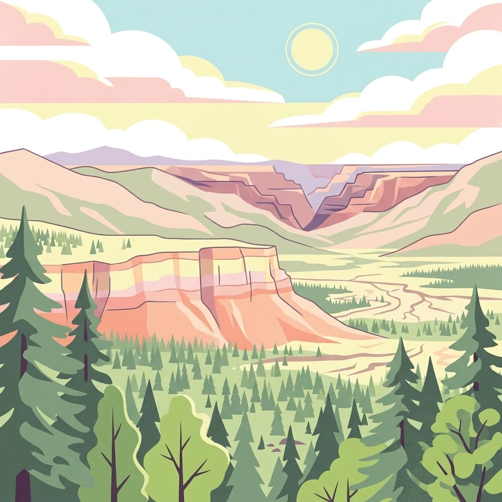
A digital illustration of a mountainous landscape with a deep canyon, pine forests, and a soft sunset sky.

A basalt-capped mesa wilderness on the Arizona Strip, north of the Grand Canyon.

Mount Trumbull Wilderness

Mount Trumbull Wilderness is a rugged protected area in northern Arizona's Arizona Strip, situated on the Uinkaret Plateau just north of Grand Canyon National Park. Designated in 1984 and managed by the Bureau of Land Management, the wilderness covers a compact footprint dominated by the broad, flat-topped massif of Mount Trumbull itself, one of the earliest basalt-capped mesas produced by the Uinkaret volcanic field. The landscape blends high desert vegetation with conifer stands that climb toward the mesa's summit, including Utah juniper, pinyon pine, Mojave yucca, sagebrush, and older ponderosa pines, some of which have lived for more than five centuries. Set within the larger Grand Canyon-Parashant National Monument, the wilderness is remote, lightly visited, and defined by its volcanic origins, its ecological transitions from low desert to forest, and its long human history ranging from Ancestral Puebloan occupation to nineteenth-century Mormon timber harvesting. Beyond Mount Trumbull's summit, the wilderness also preserves cinder cones, remnants of ancient lava flows, and surrounding plateau scenery that together illustrate the geological story of a region where volcanic activity has repeatedly reshaped the canyonlands of the Colorado Plateau.

Location
United States of America
Park type
Wildlife reserve
Established
1984
Area
31 km²
Highest point
2,446 m
Explore Mount Trumbull Wilderness Geography

Navigate Mount Trumbull Wilderness records and distances

Study documented earthquakes around Mount Trumbull Wilderness

Documented earthquakes around Mount Trumbull Wilderness are organised by epicentre and distance from the wilderness, not automatically placed within its bounds. Study dates, magnitudes, depths, places, distance values, and source citations as historical observations without claiming a wilderness-related cause, characterising present threat, or projecting future earthquakes.

Sort by
Magnitude
Location

This page describes catalogued earthquakes associated with the park by epicentre location and distance. It does not establish causation, assess current danger, or predict future earthquakes.

No earthquake records match the current filters

Park atlas

Explore beyond Mount Trumbull Wilderness earthquake data

Continue to other protected parks from Mount Trumbull Wilderness

From Mount Trumbull Wilderness earthquake data, a separately curated group of protected places offers further discovery. The destinations are not linked by a claimed mountain setting, wilderness status, geology, seismic behaviour, physical proximity, hazards, risk, or consistency of source detail.
National parkArizona
4.1 km away#1 closest

Southeast

Grand Canyon National Park: Arizona National Park Protected Landscape & Geography

Explore mapped boundaries and regional atlas context.

Grand Canyon National Park stands as a premier national park, showcasing a unique protected landscape within Arizona's diverse geography. This detailed entry focuses on the park's specific geographic identity, its mapped boundaries, and its significance within the regional atlas. Discover the contours of this protected area and its place in the natural terrain of the American Southwest.

Area
4,926.08 km²
Established
1919
IUCN
II
Visitors
4.9M annual
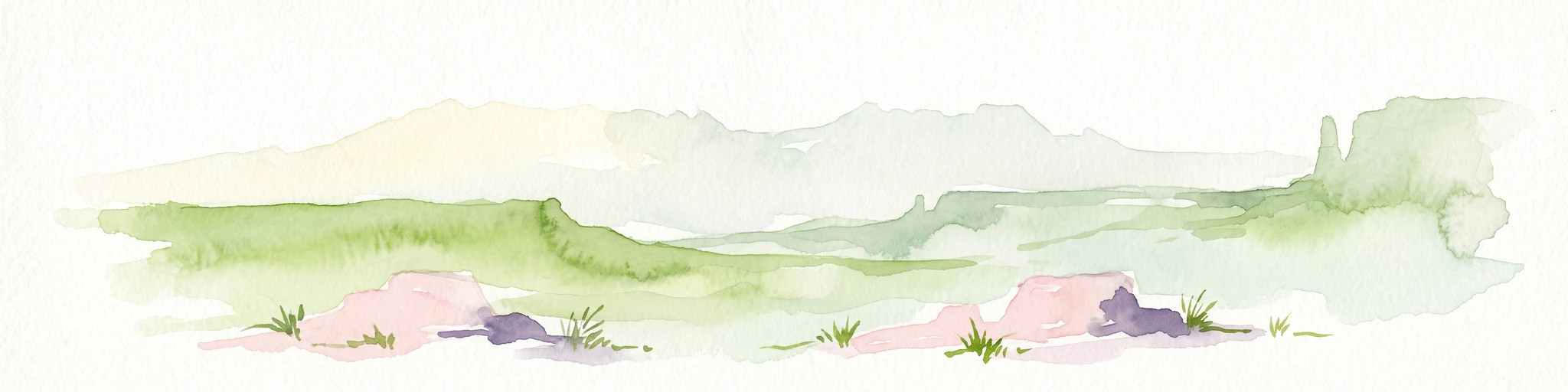
A minimalist watercolor painting depicting a pale desert landscape with soft green hills and light reddish rock formations against a white background.
Wildlife reserveArizona
36 km away#2 closest

East

Kanab Creek Wilderness: Protected Canyon Landscapes and Geography of Northern Arizona

Extensive tributary canyon systems and plateau terrain

Kanab Creek Wilderness represents a vast protected area in northern Arizona, defined by deep gorges and vertical cliffs etched into the Kanab and Kaibab Plateaus. This geographic atlas entry provides insights into the canyon network that feeds the Colorado River, highlighting the extreme elevation gradients and archaeological significance of this rugged wilderness.

Area
305 km²
Established
1984
IUCN
Ib
Relief
Upland
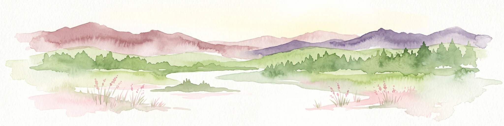
A horizontal watercolor illustration showing a calm lake in the foreground, surrounded by grassy banks, evergreen trees, and rolling mountains in the distance under a pale sky.
Protected landscapeArizona
38 km away#3 closest

East

Kaibab National Forest: Protected Plateau Landscapes and Forested Geography in Arizona

High-elevation forest terrain bordering the Grand Canyon

Spanning over 1.6 million acres in Arizona, Kaibab National Forest is characterized by its split geographic configuration, with distinct sections flanking the North and South rims of the Grand Canyon. The terrain ranges from the high-altitude Kaibab Plateau to volcanic uplands near Williams, encompassing four designated wilderness areas and varied forest ecosystems that provide a critical buffer for the surrounding canyon country.

Area
6,500 km²
Established
1909
Relief
Mountain
Climate
Temperate
A watercolor painting showing a soft-toned landscape with a winding river in the foreground, a forested middle ground, and rolling mountains in the distance.
Protected landscapeUnited States of America
64 km away#4 closest

West

Lake Mead National Recreation Area: Desert Reservoir and Protected Landscape Atlas

United States protected geography and reservoir terrain

Spanning the lower Colorado River, Lake Mead National Recreation Area represents a unique convergence of desert ecosystems and large-scale water management. Its geography includes extensive reservoir shorelines, deep canyon corridors, and volcanic basin terrain that provide a foundational look at the arid environments of the American Southwest. The area remains a significant study of how engineered water features alter and interact with complex desert landscapes.

Area
6,053.31 km²
Established
1936
IUCN
V
Visitors
6.4M annual
National parkUtah
80 km away#5 closest

North

Zion National Park National Park: Detailed Mapped Geography and Protected Landscape Identity

Explore the mapped terrain and regional context of this Utah national park.

Zion National Park represents a key protected area within Utah, ideal for detailed geographic exploration. This canonical page offers insights into the park's specific mapped boundaries, its inherent landscape character, and its regional geographic setting. It is designed for users seeking to understand the atlas-level significance of Zion National Park as a national park entity, focusing on its protected terrain and natural geography.

Area
593.26 km²
Established
1919
IUCN
II
Visitors
4.9M annual
Wildlife reserveClark County
About 93 km away#6 closest

West

Jumbo Springs Wilderness: Geographic Profile and Protected Landscape Atlas

A rugged desert preserve in Clark County, Nevada

Jumbo Springs Wilderness preserves a dense concentration of desert geology within a compact footprint. Users can analyze the protected boundaries, which feature Precambrian metamorphic formations and granitic domes that rise above arid drainages. This area functions as a critical desert refuge near the Lake Mead reservoir, providing a distinct look at the transition between rocky mountain slopes and water-influenced desert microhabitats.

Area
18.74 km²
Established
2002
IUCN
Ib
Relief
Upland
Wildlife reserveUtah
94 km away#7 closest

Northwest

Red Mountain Wilderness: Mapped Sandstone Massif and Protected Landscape in Utah

Ecological transitions between the Mojave Desert and Great Basin

Red Mountain Wilderness is a distinct protected landscape in southwestern Utah characterized by its dramatic Navajo sandstone block. Positioned near the Gunlock Fault and Snow Canyon, the area features rugged desert terrain where Mojave and Great Basin ecosystems converge. This wilderness preserves significant archaeological history and diverse plant communities within its sandstone canyons and flats, offering a window into the varied natural environment of the region.

Area
75.8 km²
Established
2009
IUCN
Ib
Relief
Upland
Wildlife reserveWashington County
About 113 km away#8 closest

North

LaVerkin Creek Wilderness: Mapping Protected Landscapes in Southwestern Utah

Wildlife reserve and watershed protection in Washington County

This protected area unit serves as a critical buffer for the upper LaVerkin Creek corridor. Its terrain spans the transition from high-elevation forested plateaus to deeply carved sedimentary canyons. By maintaining an unroaded status, the wilderness preserves essential riparian habitats and geological features that define the character of the surrounding southwestern Utah plateau region.

Area
1.8 km²
Established
2009
IUCN
Ib
Relief
Highland
MoriAtlas Explorer

Continue Exploring the Volcanic Landscape of Mount Trumbull Wilderness

Deepen your understanding of Mount Trumbull Wilderness by examining its unique basalt-capped mesas and volcanic topography. MoriAtlas provides a structured look at the geography, protected area boundaries, and ecological transitions defining this remote Arizona wildlife reserve, allowing for a clearer appreciation of its role within the broader Colorado Plateau landscape.