
Why Naturschutzgebiet Mündungsgebiet der Ahr stands out
The reserve is best known for being the last remaining natural, or at least ecologically restored, river-mouth delta on the Rhine. Its fame rests on a landscape that is still actively shaped by the Ahr itself: free meandering, continuous deposition and erosion of sediment, and an ever-changing mosaic of water, sand, and mud surfaces. Within this dynamic setting, the protection order highlights rare wild plants and especially threatened birdlife, as well as the broader scientific value of intact floodplain pioneer communities. The presence of the Ahrmündungsbrücke (Ahr Mouth Bridge), mentioned alongside the reserve in source material, marks this as a recognised and visited natural landmark in the Middle Rhine region.
Naturschutzgebiet Mündungsgebiet der Ahr history and protected-area timeline
The Naturschutzgebiet Mündungsgebiet der Ahr was placed under formal protection by legal ordinance on 23 June 1981. The conservation order explicitly aims to preserve the natural character of the Ahr's confluence with the Rhine, with particular emphasis on its water, sand, and mud surfaces and on the rare plant and bird species they support.
At the heart of the protection logic is the idea that the river-mouth area's appearance continues to change through natural river dynamics. Rather than fixing the landscape in a static condition, the designation seeks to ensure the long-term survival of an actively shifting floodplain, allowing free meandering and the ongoing deposition and erosion of sediments that sustain typical river-mouth pioneer communities. The reserve has therefore come to be regarded as the last remaining natural, or successfully renatured, river-mouth delta of any Rhine tributary.
Naturschutzgebiet Mündungsgebiet der Ahr landscape and geographic character
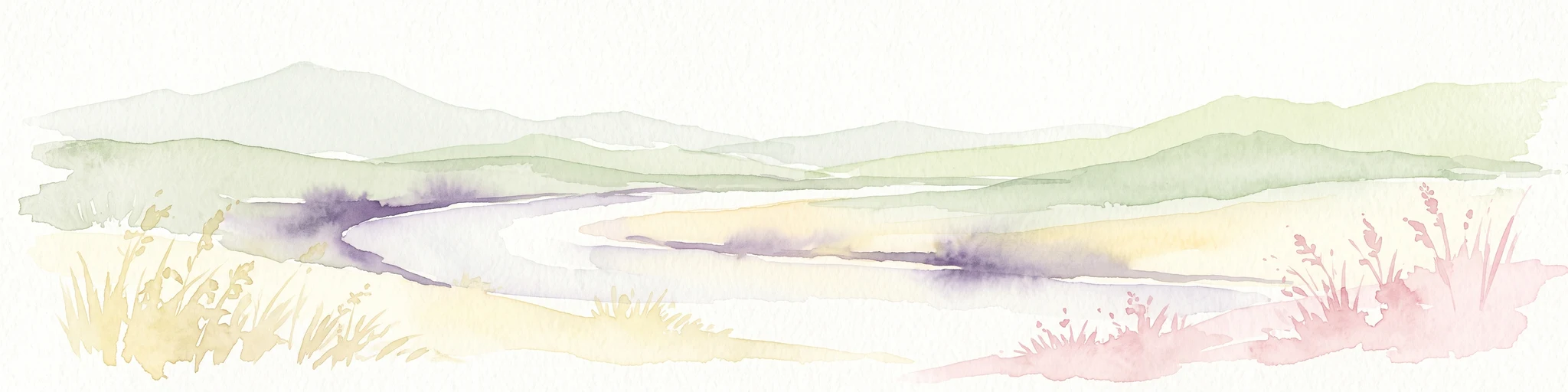
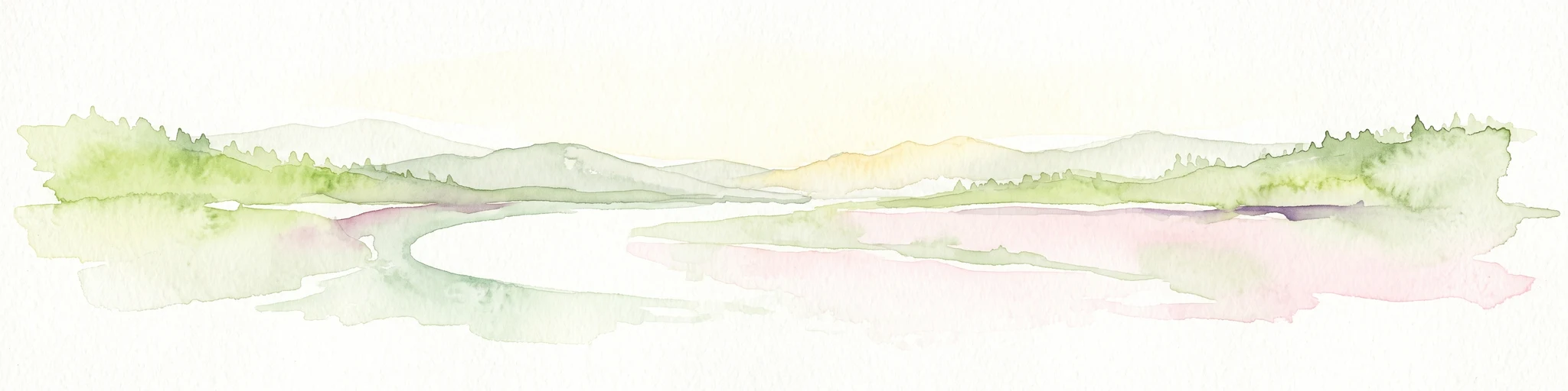
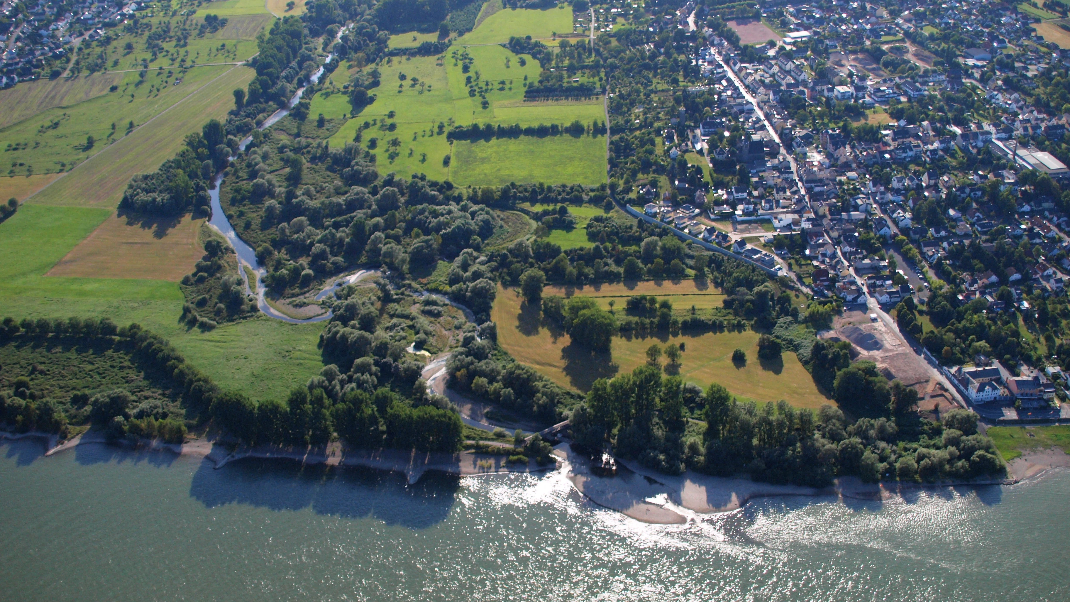
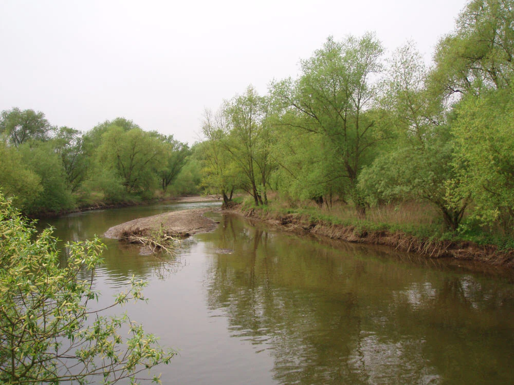
The landscape of the reserve is shaped entirely by the meeting of two rivers: the Ahr descending from the Eifel and Ahr hills to the west, and the Rhine flowing along its broad Middle Rhine valley. The defining scenery is not forested or mountainous but fluvial, made up of shifting water surfaces, freshly formed sandbanks, transient mudflats, and loosely consolidated gravel and scree deposits.
Because the Ahr is allowed to migrate freely through this section, the terrain is in constant, slow motion. Channels meander, sand islands appear and disappear, and sediment piles rise and erode as the river reworks the mouth area with each high or low flow. The result is a raw, open, low-lying floodplain landscape that contrasts sharply with the engineered Rhine banks found elsewhere along the river, and that visibly demonstrates the formative power of an unconstrained tributary.
Naturschutzgebiet Mündungsgebiet der Ahr ecosystems, habitats, and plant life
The ecological identity of the reserve is built around active floodplain processes rather than around a stable habitat type. The constant reworking of the bed by the Ahr repeatedly resets the ecological clock in small patches: bare sand and mud appear, are briefly colonised by specialised plants and insects, are then buried or eroded away, and begin again. This disturbance-dependent cycle is what the reserve is specifically designed to protect.
Source material describes these conditions as supporting river-mouth pioneer biocoenoses, the early-succession communities tied to freshly exposed sediments in active floodplains. The combination of open water, wet mud, dry sand, and loose gravel in close proximity creates a finely graded mosaic of microhabitats within a small area, which is unusual in an otherwise heavily regulated Rhine floodplain landscape.
Naturschutzgebiet Mündungsgebiet der Ahr wildlife and species highlights
The 1981 protection ordinance specifically names rare, threatened wild plants and animals, with particular emphasis on bird species, as a reason for the reserve's designation. The undisturbed mosaic of water, mud, and sand close to the Rhine provides resting and feeding conditions for waterbirds, while the shifting pioneer vegetation supports specialised invertebrates.
External commentary linked from the source material highlights the presence of the Schwarzblauer Ameisenbläuling, a rare and range-restricted butterfly tied to specific floodplain conditions, as a characteristic species of interest. Together, the birdlife and insect fauna reflect the broader scientific importance of an active, undisturbed river-mouth environment in a region where most comparable sites have been lost to river engineering.
Naturschutzgebiet Mündungsgebiet der Ahr conservation status and protection priorities
The reserve is a Naturschutzgebiet, the highest level of statutory nature protection available in Germany, and operates under a dedicated Rhineland-Palatinate ordinance. Its conservation value lies less in representing a static habitat than in preserving an ongoing ecological process: the natural shifting of a river mouth and the continuous creation of fresh sediment surfaces.
This process-orientated protection is significant because most other tributary confluences along the Rhine have been fixed by embankments, dams, or other interventions, eliminating the disturbance cycles on which floodplain pioneer communities depend. By safeguarding free meandering and the constant reworking of silt, sand, gravel, and stone, the reserve maintains a living reference point for what a natural Rhine tributary mouth once looked like, and provides a scientific baseline for understanding floodplain ecology in the region.
Naturschutzgebiet Mündungsgebiet der Ahr cultural meaning and human context
The reserve sits within the wider Middle Rhine cultural landscape, between the cities of Bonn and Koblenz, in the territory of the town of Sinzig close to the Remagen boundary. The Ahr itself has long been a recognised regional river valley, with its own wine-growing identity upstream, and the point at which it meets the Rhine is locally familiar both as a natural feature and as a crossing point, marked by the Ahrmündungsbrücke referenced in source material.
Although the protected area is small and ecologically rather than culturally defined, it sits within a region where river confluences, bridges, and floodplain landscapes have shaped settlement, transport, and local identity for centuries. Its conservation status reflects a broader regional awareness of how rare such natural river-mouth sites have become along the heavily regulated Rhine.
Top sights and standout views in Naturschutzgebiet Mündungsgebiet der Ahr
Among the strongest distinguishing features of the reserve is its status as the only remaining natural, or successfully renatured, river-mouth delta of any Rhine tributary. The protected area preserves a working fluvial system rather than a fixed view, with the Ahr free to meander and to continually rework its deposits of silt, sand, gravel, and stone.
Other defining features include the presence of newly formed sandbanks and mudflats within a Rhine floodplain context; the protected status of rare wild plants, bird species, and pioneer floodplain communities; and the legal foundation of an ordinance dating to 1981 that explicitly favours natural river dynamics over static landscape preservation.
Best time to visit Naturschutzgebiet Mündungsgebiet der Ahr
Because the reserve's character is shaped by ongoing river dynamics rather than by seasonal vegetation cycles, it has an inherently open-ended visiting profile. Periods of lower water levels tend to expose more sand and mud surfaces, making the pioneer features of the mouth more visible, while higher flows reshape the area and may temporarily submerge some of the banks and bars.
Bird-focused visits are likely to benefit from attention to broader seasonal waterbird movements along the Rhine, but the reserve's small size and continuous geomorphic activity mean it offers an interesting picture of an active floodplain in any season, provided access is safe and weather-appropriate.