
Mori Atlas logo
Park guides

Focused insights covering regional coastal geography, wildlife habitats, and seasonal planning

Comprehensive Guide Collection for Exploring Narawntapu National Park in Tasmania

Explore the collection of thematic guides for Narawntapu National Park, a protected coastal region on the north coast of Tasmania. These resources provide deeper context on the diverse terrain of Bass Strait headlands, intertidal mudflats, and local wildlife density across the park landscape.

Related tags

Coastal Protected AreaMarsupial WildlifeWetland Bird HabitatTasmania National ParksIntertidal Mudflats

Tasmanian coastal protected area with diverse wetlands and abundant marsupial wildlife

Narawntapu National Park

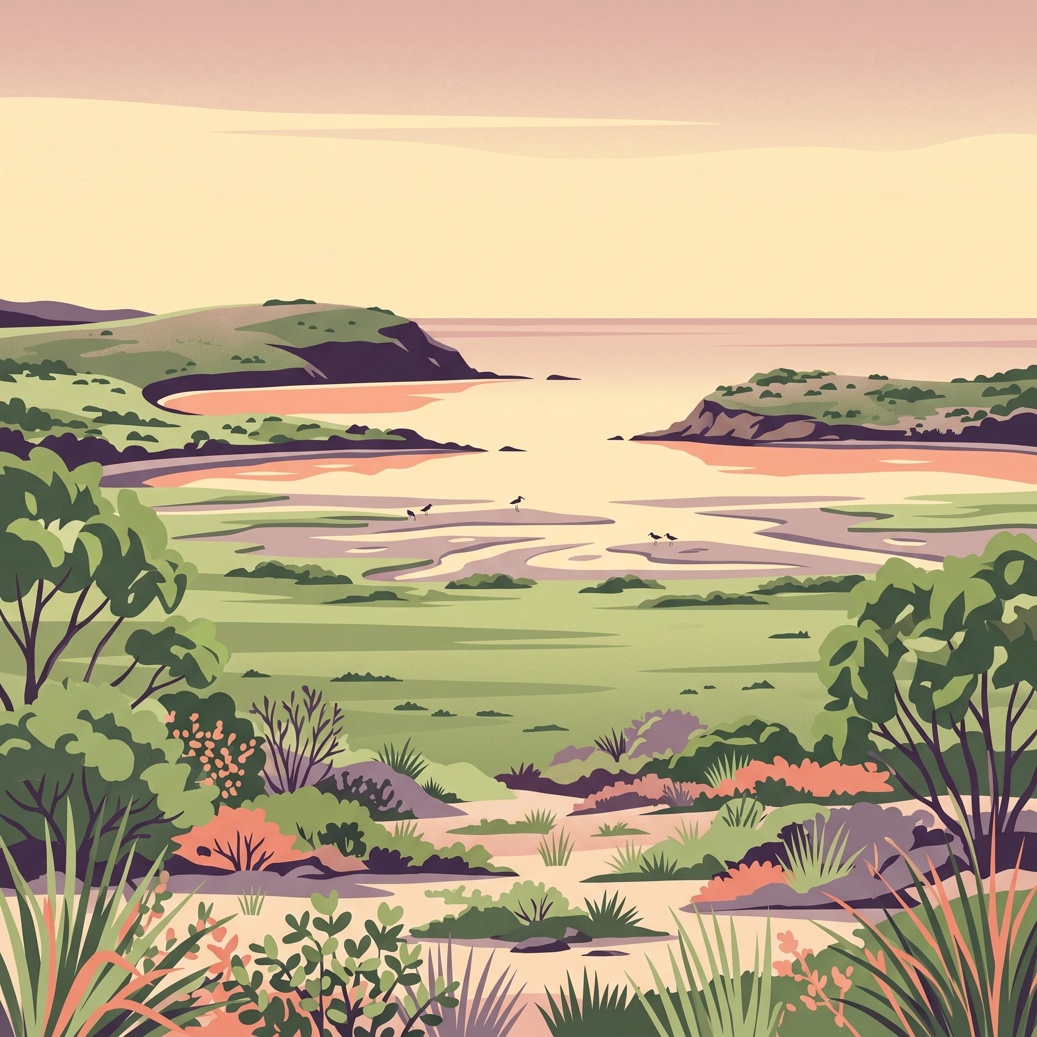
Narawntapu National Park represents a significant protected coastal ecosystem on Tasmania's northern shoreline, spanning approximately 43 square kilometres between the town of Port Sorell and the estuary mouth of the Tamar River where it meets Bass Strait. The park's landscape encompasses a remarkable diversity of habitats within a relatively compact area, including coastal heathland, dry sclerophyll woodland, herbland, grassland, and salt marsh communities that transition into extensive intertidal mudflats along the estuary edges. Several islands within the Port Sorell estuary fall within the park's boundaries, including the Carbuncle, contributing to the protected area's ecological complexity. The park lies approximately 20 kilometres east of Devonport, 60 kilometres north-west of Launceston, and 250 kilometres north of Hobart, positioning it as an accessible nature destination for visitors traveling through Tasmania's north. The coastal location exposes the park to temperate maritime weather patterns, with prevailing winds from the north-east and north-west bringing most rainfall during the winter months. The highest terrain within the park reaches 392 metres above sea level, providing subtle elevation changes across the landscape rather than dramatic mountain terrain. Narawntapu's protection extends to the low water mark, ensuring the intertidal ecosystems remain undisturbed and continue supporting the rich birdlife and marine life that depend on these productive coastal wetlands.

Location
Australia
Park type
National park
Established
1976
Area
43.5 km²
Highest point
392 m
Narawntapu National Park Protected Landscape
1 guide

Compare focused themes for visit planning and seasonal timing

Narawntapu National Park Published Guide Collection

Browse all currently published reference guides for Narawntapu National Park to find targeted information for your specific interests. Each selection covers essential planning themes, including optimal seasonal timing and weather conditions for wildlife observation.
MoriAtlas Explorer

Continue Exploring Narawntapu National Park's Geographic and Protected Landscape Identity

Dive deeper into the specific geographic context and protected landscape characteristics of Narawntapu National Park. Understanding its mapped boundaries, diverse terrain, and ecological significance offers valuable insights for any atlas-driven exploration of Australia's natural reserves. Investigate the unique natural features that define this important conservation area and its place within the regional geography.