

Rivers
Park geography
A detailed atlas examination of wetland terrain, river networks, and protected land coverage
Geographic Profile and Mapped Boundaries of Narew National Park in Podlaskie Voivodeship
This profile offers a structured look at the geography of Narew National Park, covering its 73.5 square kilometer extent in the Podlaskie Voivodeship. It details the lowland relief, major water features including the Narew river system, and environmental classifications that define this temperate wetland landscape.
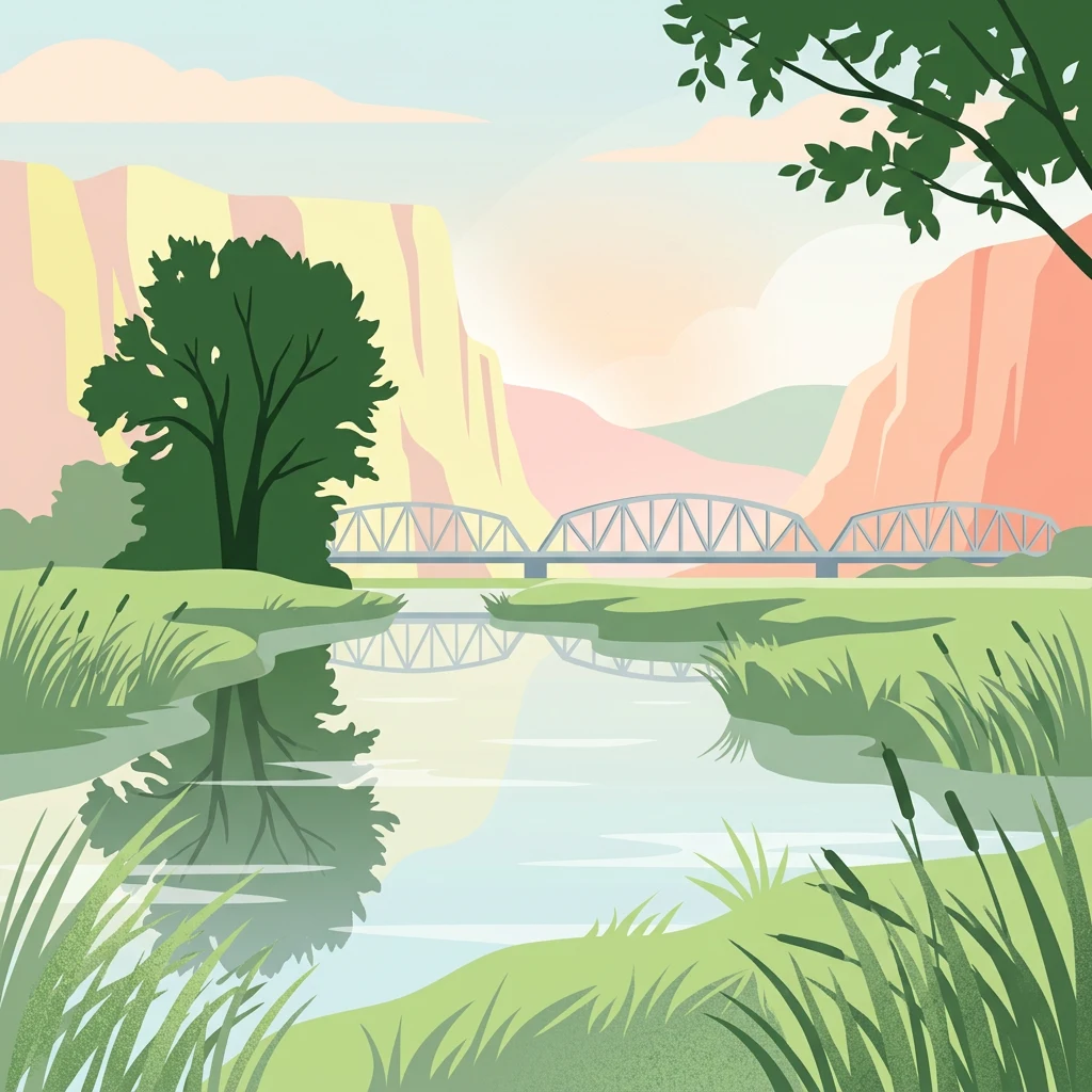
Poland's unique anastomosing river wetland sanctuary
Narew National Park
Narew National Park is a protected wetland area located in the Podlaskie Voivodeship of northeastern Poland, approximately 35 kilometers west of Białystok. Established in 1996, the park encompasses a significant portion of the Upper Narew Valley, protecting one of Poland's most distinctive river ecosystems. What makes this park unique is its exceptional hydrological character—the Narew River within the park exhibits an anastomosing pattern, meaning it splits into multiple interconnected channels that create a complex mosaic of waterways, islands, marshes, and forested wetlands. Approximately 98 percent of the park's area consists of rivers, periodically flooded lands, or wetlands, making it one of the most water-rich protected areas in Poland. The park was designated as a Ramsar Wetland in 2002, recognizing its international importance as a biodiversity hotspot and one of Europe's most significant wetland ecosystems.
- Location
- Poland
- Park type
- National park
- Established
- 1996
- Area
- 73.5 km²
Location overview
National and regional positioning in the Podlaskie Voivodeship
Narew National Park Geographic Setting and Regional Placement
Narew National Park is situated within the Podlaskie Voivodeship of Poland. Geographic datasets confirm the protected area is entirely inland and managed within a single national jurisdiction.
- Countries
- Poland
- Regions
- Podlaskie Voivodeship
- Primary location
- Podlaskie Voivodeship
- Geographic setting
- Inland
Boundary and coordinates
Interactive boundary geometry, spatial spans, and calculated area metrics
Narew National Park Boundary Map and Spatial Extent Explorer
Mapped park outlines provide clear spatial context for analyzing geographic boundaries and regional shape. Accompanying boundary facts detail recorded area, coordinate limits, and spatial extents without formal legal survey precision.
- Boundary area
- 68.1 km²
- Boundary perimeter
- 107.2 km
- Northernmost point
- 53.1487° N
- Southernmost point
- 52.9509° N
- Easternmost point
- 22.9693° E
- Westernmost point
- 22.7785° E
- Geographic centre
- 53.0553° N, 22.8826° E
- North–south span
- 22 km
- East–west span
- 12.8 km
Terrain and natural features
Lowland relief classification and recorded hydrologic features
Narew National Park Terrain and Named Natural Features
Narew National Park features lowland terrain classifications encompassing multiple recorded rivers, streams, and viewpoints. Individual feature cards document specific names, types, and spatial relationships within the protected landscape.
Selected named natural features
Viewpoints
Zerwany Most w Kruszewie
Rivers
Awissa
Rivers
Narew
Viewpoints
Widok na Narew
Rivers
Turośnianka
Environmental setting
Temperate lowland terrain, major water presence, and partial forest cover
Narew National Park Environmental Classifications and Physical Setting
Recorded landscape features, habitat types, and climate zones serve as interpretive categories for the physical setting. Associated data links these classifications directly to broader atlas destinations.
- Relief
- Lowland
- Climate
- Temperate
- Water
- Major water bodies
- Forest cover
- Partial forest
- Seasonality
- Year-round
Landscape features
Wetland · Rivers · Grassland · Forest · Marsh
Habitat types
Temperate broadleaf forest · Wetland · Riverine habitat · Grassland
Park atlas
Trace the protected landscapes and national parks across the wider region surrounding Narew National Park, mapping wetland and river valley ecosystems.
Compare National Parks and Protected Areas Near Narew National Park, Tracing Regional Wetland Geography
Browse other national parks and protected areas situated near Narew National Park, exploring a diverse atlas of wetland, river valley, and lowland ecosystems across the region. This geographic overview helps you compare conservation landscapes, trace the regional spread of protected areas, and discover adjacent natural habitats beyond the Narew River.
National parkPodlaskie Voivodeship
Park boundaries overlap#1 closest
East

Narwiański Park Narodowy: Mapped Wetland Geography and Protected Floodplain Landscapes
Examining the hydrologic patterns and marshland terrain of the Narew River valley.
Narwiański Park Narodowy features a unique, water-dominated geography in Podlaskie Voivodeship. This protected area centers on the anastomosing Narew River, creating a shifting mosaic of streams, oxbows, and managed grasslands that serves as a vital refuge for wetland birds and aquatic species within the broader Polish landscape.
- Area
- 68.1 km²
- Established
- 1996
- Visitors
- 15K annual
- Relief
- Lowland
National parkPodlaskie Voivodeship
17 km away#2 closest
North
Biebrza National Park: Protected Fenlands and River Basin Geography in Northeastern Poland
Tracing the largest lowland peat bog complex in the European landscape
Biebrza National Park serves as the premier protected wetland area in Poland, characterized by its vast, intact marshlands and the meandering Biebrza River valley. This geographic profile details the park's critical fen ecosystems, floodplain dynamics, and distinctive habitats that support diverse avian and mammalian populations within the Podlaskie region.
- Area
- 592.23 km²
- Established
- 1993
- IUCN
- II
- Relief
- Lowland
National parkPodlaskie Voivodeship
17 km away#3 closest
Northeast
Biebrzański Park Narodowy: A Protected Wetland Landscape in Podlaskie Voivodeship, Poland
Mapped river valley and peatland geography.
Located in the northeast of Poland, Biebrzański Park Narodowy protects a sprawling, flat basin defined by the slow-meandering Biebrza River. This critical protected area encompasses rare peat bogs, floodplain meadows, and alder carrs, functioning as a vital refuge for wetland species within the broader Podlaskie Voivodeship landscape.
- Area
- 592.23 km²
- Established
- 1993
- Visitors
- 23.2K annual
- Relief
- Lowland
Nature reservePodlaskie Voivodeship
About 24 km away#4 closest
North
Rezerwat przyrody Bagno Wizna II: Protected Peatland and Bog Terrain in Podlaskie Voivodeship
Mapped nature reserve and raised bog geography in northeastern Poland.
Rezerwat przyrody Bagno Wizna II functions as a specialized nature reserve in the Kotlina Biebrzańska, protecting rare raised bog vegetation. The site illustrates the intersection of active conservation efforts and regional drainage history, serving as a distinct geographic landmark within the wider protected land network of Podlaskie Voivodeship.
- Area
- 0.796 km²
- Established
- 1967
- Relief
- Lowland
- Climate
- Temperate
Nature reservePodlaskie Voivodeship
About 38 km away#5 closest
East
Bahno w Borkach Nature Reserve: Mapping the Boreal Peatland Landscapes of Podlaskie
A study of protected mire habitats and forest mosaics
Bahno w Borkach Nature Reserve protects a vital boreal-influenced peatland habitat within the larger Knyszyn Forest complex. The mapped landscape includes a complex mosaic of low-mire communities and forest patches that serve as an important reference site for ecological studies of the eastern Polish lowlands.
- Area
- 2.899 km²
- Established
- 1990
- Relief
- Lowland
- Climate
- Boreal
Nature reservePodlaskie Voivodeship
About 40 km away#6 closest
East
Rezerwat przyrody Międzyrzecze: Exploring Protected Woodland Geography in Poland
A detailed geographic look at forest protection in the Knyszyn Forest landscape.
Deepen your understanding of Rezerwat przyrody Międzyrzecze through a focused study of its protected terrain. This site covers the essential geography of the nature reserve, detailing how glacial landforms and internal springs create unique woodland conditions within the Podlaskie Voivodeship. Access mapped data to see how this protected fragment integrates into the broader Knyszyn Forest ecological network.
- Area
- 2.508 km²
- Established
- 1990
- Relief
- Upland
- Scope
- Terrestrial
Protected areaPoland
41 km away#7 closest
Southeast
Puszcza Białowieska Protected Area: Primeval Forest Geography and Mapped Boundaries
Ancient lowland forest landscapes of the Polish-Belarusian border
Examine the geographic composition of Puszcza Białowieska, an extensive primeval lowland forest characterized by multi-aged tree stands and abundant deadwood ecosystems. The area serves as a primary site for ecological research into natural forest regeneration and megafauna protection, specifically for the European bison and diverse predator populations living within its protected landscape boundaries.
- Area
- 1,500 km²
- Established
- 1932
- Relief
- Lowland
- Climate
- Temperate
Nature reservePodlaskie Voivodeship
About 46 km away#8 closest
West
Rezerwat przyrody Dębowe Góry: Protected Sessile Oak Forest in Podlaskie Voivodeship
Ecologically intact lowland forest and rare plant habitat
Rezerwat przyrody Dębowe Góry stands as a protected sanctuary for light-loving sessile oak communities in Podlaskie Voivodeship. Its rolling lowland terrain and rich understory flora represent an essential fragment of Poland's natural woodland heritage, functioning as a key study area within the broader Czerwony Bór forest landscape context.
- Area
- 0.993 km²
- Established
- 2001
- Relief
- Lowland
- Scope
- Terrestrial
MoriAtlas Explorer
Continue Exploring Narew National Park's Unique Wetland Geography and Mapped Landscape
Deepen your understanding of Narew National Park by delving into its specific geographic context and protected area details. Examining the mapped terrain and hydrological patterns of this exceptional wetland national park provides valuable insight into complex natural systems. This exploration contributes to a structured appreciation of Poland's protected lands and their regional atlas significance, offering a factual basis for geographic discovery.
Browse next
Global natural geography
Explore related park routes
Explore MoriAtlas Global ParksBrowse All MoriAtlas ParksGlobal Park Map DiscoveryMoriAtlas: Browse All CountriesBrowse All MoriAtlas ContinentsNational Park Environment AtlasGrand Canyon National Park AtlasYellowstone National Park AtlasYosemite National Park Atlas and GeographySerengeti National Park AtlasGalápagos National Park Protected LandscapeBanff National Park Geography and AtlasKruger National Park Atlas EntryUluṟu-Kata Tjuṯa National Park AtlasExplore Uluru-Kata Tjuta National Park GeographyPlitvice Lakes National Park AtlasFiordland National Park Protected LandscapeGreat Smoky Mountains National Park AtlasAfghanistan National Parks and Protected AreasAlbania National Parks and Protected AreasAlgeria National Parks and Protected AreasAmerican Samoa National Parks and Protected AreasAndorra National Parks and Protected AreasAngola National Parks and Protected AreasAntarctica National Parks and Protected AreasAntigua and Barbuda Park List