
Mori Atlas logo
Nature reserveNaturschutzgebiet Scherfbachtal (Odenthal)

Mapped riparian corridors, meandering brooks, and forest habitats in the Bergisches Land region.

Naturschutzgebiet Scherfbachtal (Odenthal) Protected Nature Reserve and Stream Valley Geography

Naturschutzgebiet Scherfbachtal (Odenthal) protects a significant stretch of near-natural stream valley system within the Rheinisch-Bergischer Kreis. This reserve encompasses meandering brooks, floodplain alder and ash forests, and steep greywacke side valleys, representing a vital headwater catchment area for the Scherfbach stream. Through its varied terrain of wet meadows, oak-hornbeam woodlands, and marshy pastures, the area serves as an ecologically coherent refuge for diverse stream and forest species.

stream valleynature reserveriparian forestfloodplain forestoak-hornbeam woodlandbeech forest
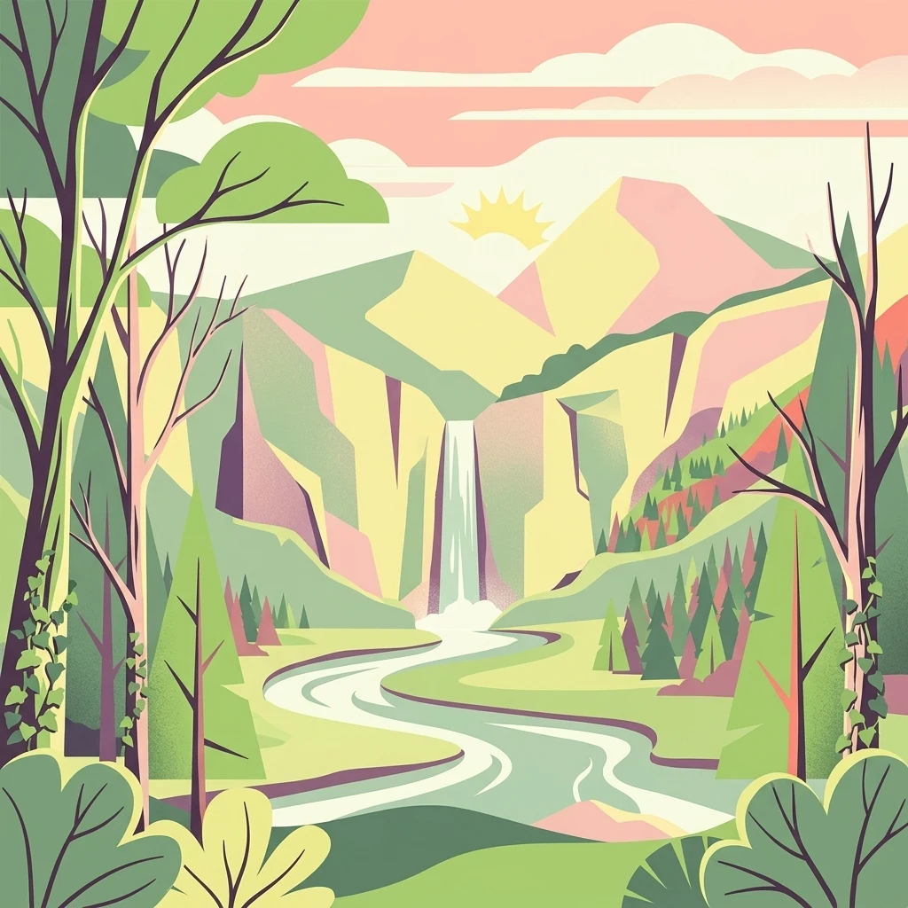
A flat vector-style illustration of a natural mountain valley featuring a winding river, a central waterfall, and surrounding forests under a soft sun.

Naturschutzgebiet Scherfbachtal (Odenthal)

Nature reserve

Park overview

Structured park overview, official facts, and landscape profile for Scherfbachtal Nature Reserve (Odenthal)

Scherfbachtal Nature Reserve (Odenthal) park facts, protected area profile, and essential visitor context

Review the core facts for Scherfbachtal Nature Reserve (Odenthal), including designation, size, terrain, visitor scale, habitats, and operating context in one park-focused overview.

About Scherfbachtal Nature Reserve (Odenthal)

The Scherfbachtal Nature Reserve (Odenthal) is a fragmented but ecologically coherent protected area that follows the Scherfbach and several of its tributary valleys in the Bergisches Land, a hilly region east of Cologne. Five individual sections of the reserve extend between Odenthal and the hamlet of Klev, capturing different reaches of the stream system from its headwaters near Klev through to its confluence with the Dhünn river.

The valley systems within the reserve are characteristic of the low-mountain landscape of the region, with narrow V-shaped gorges cut into greywacke bedrock in the side valleys and broader flat-bottomed stream corridors along the main Scherfbach. The protected area includes closed gallery woodlands of old alders, ashes, and tree willows, mature oak-hornbeam floodplain forests, species-rich beech high forests on the valley slopes, and a mosaic of wet meadows, marshy pastures, and abandoned grassland.

Ecologically, the reserve is significant for protecting a near-natural flowing-water system within an otherwise heavily shaped cultural landscape. The Scherfbach is locally two to four meters wide, clear, partly fast-running and partly meandering, and its relatively unpolluted waters support a rich stream fauna. Side valleys feature loess-loam lowland stream conditions, well-developed seepage springs with characteristic spring flora, small alder stands, and steep valley slopes with ferns, mosses, lichens, and fungi.

As part of the larger flowing-water network of the Bergisches Land, the reserve functions as a key headwater catchment for the west-flowing Scherfbach and contributes to regional ecological connectivity for aquatic and riparian species. The fragmented shape of the reserve reflects the traditional pattern of valley land use in the region, where meadows, pastures, and small woodlands are interspersed along narrow stream courses.

Quick facts and research context for Scherfbachtal Nature Reserve (Odenthal)

Scherfbachtal (Odenthal) is a designated nature reserve in Odenthal, North Rhine-Westphalia, Germany. It lies within the Rheinisch-Bergisch district and is managed under the Mittlere Dhünn landscape plan by the local landscape authority. Established in 1994 and registered as NSG GL-029 in the national protected-area database, the reserve covers roughly 105 hectares distributed across five separate sections along the Scherfbach valley.

The area is classified as an IUCN Category IV Habitat/Species Management Area and is part of the regional flowing-water connectivity network of the Bergisches Land. Its conservation value lies in protecting near-natural stream sections, floodplain forests, wet meadows, and a range of characteristic lowland valley species.

Protection and recognition

Explore documented protected area records and official designation identifiers.

Naturschutzgebiet Scherfbachtal (Odenthal) Protection Status and WDPA Records

Examine the verified protection status and administrative reference data linked to Naturschutzgebiet Scherfbachtal (Odenthal) within global databases. Review documented conservation frameworks and official designation details structured for geographic research.

Protection details

WDPA ID
165381
Park context

Deeper park guide and search-rich context for Scherfbachtal Nature Reserve (Odenthal)

Scherfbachtal Nature Reserve (Odenthal) history, landscape, wildlife, and travel context

Explore Scherfbachtal Nature Reserve (Odenthal) through its history, landscape character, ecosystems, wildlife, conservation priorities, cultural context, and seasonal travel timing in a structured park guide built for atlas discovery and search intent.

Why Scherfbachtal Nature Reserve (Odenthal) stands out

Scherfbachtal (Odenthal) is especially known for its near-natural, meandering stretch of the Scherfbach, representative of stream systems in the Bergisches Land. The reserve is valued for its combination of floodplain alder forests, oak-hornbeam woodlands with rich undergrowth, wet meadows and pastures, and steep valley embankments featuring diverse fern, moss, and lichen communities. It is also recognized for its relatively undisturbed water quality, a reflection of the low settlement density in the headwater regions, and for protecting ecologically important springs, seeps, and side valleys along the main stream corridor.
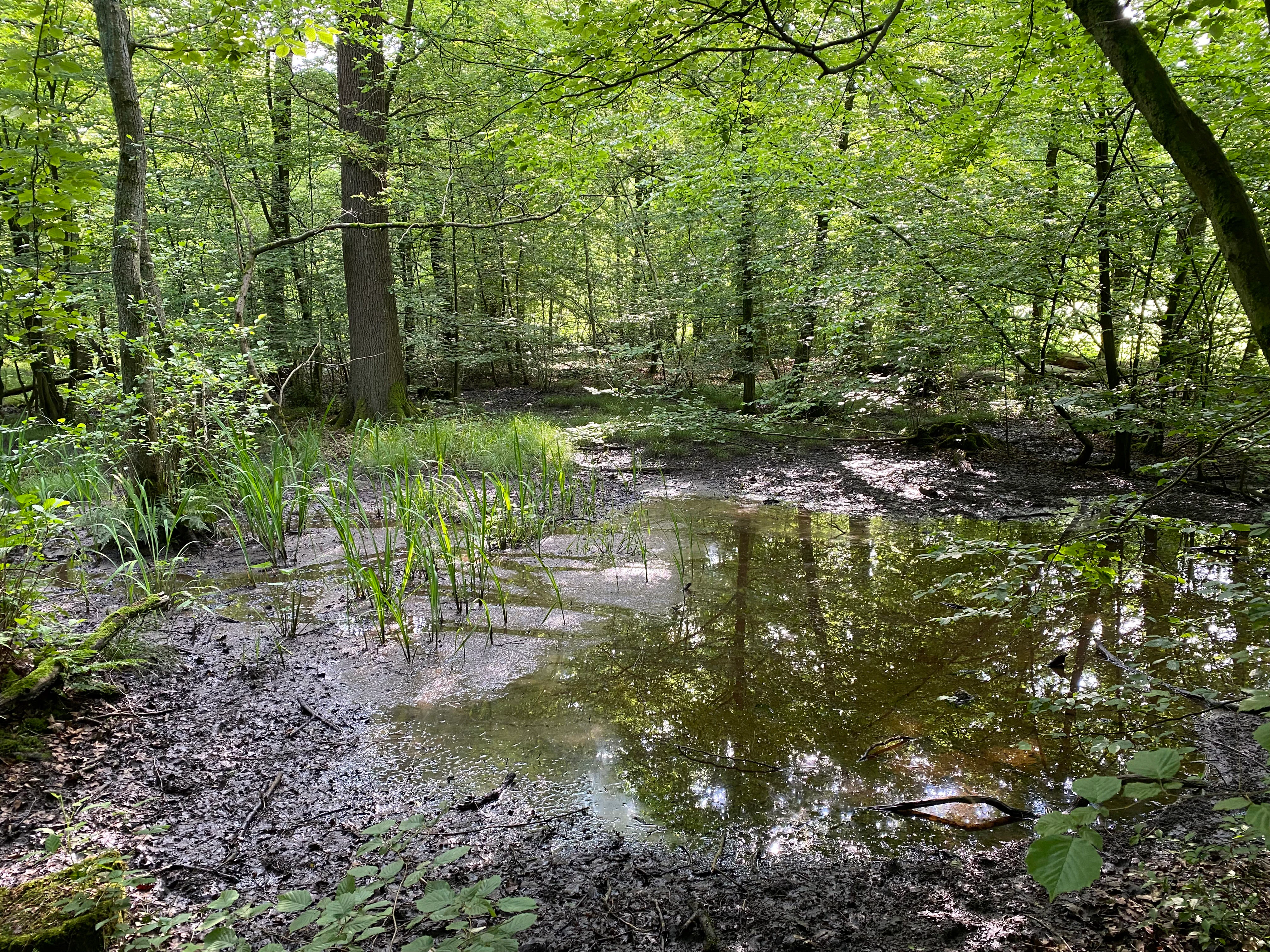
A small pool of water surrounded by muddy ground and dense green forest foliage in the Scherfbachtal nature reserve.
Riparian forest landscape along the Scherfbach stream in the Scherfbachtal nature reserve.

Scherfbachtal Nature Reserve (Odenthal) history and protected-area timeline

The Scherfbachtal (Odenthal) nature reserve was formally designated in 1994 as a protected area under the landscape plan framework of the Mittlere Dhünn region in the Rheinisch-Bergisch district. The designation built on long-standing recognition of the Scherfbach as a near-natural stream system representative of the Bergisches Land.

The reserve's fragmented structure reflects historic patterns of land use in the Bergisches Land, where meadows, pastures, and gallery woodlands have long been managed along narrow stream corridors. Valley slopes remained forested while valley bottoms were kept open for grazing and hay production, creating the woodland-pasture mosaic still visible today.

Where natural floodplain dynamics were lost, near-mouth sections of the valley were actively reforested with oak, hornbeam, and ash to restore characteristic floodplain forest structure. Recent landscape planning documents, including the 2017 draft landscape plan for Odenthal, continue to guide the management of the reserve.

Scherfbachtal Nature Reserve (Odenthal) landscape and geographic character

The landscape protected by Scherfbachtal (Odenthal) is a classic Bergisches Land stream valley, shaped by the Scherfbach and its tributaries. In the narrower side valleys, the brooks cut steep V-shaped gorges, known locally as Siefen, into greywacke bedrock, while the main Scherfbach flows in broader, flatter valley bottoms. The protected area extends across both the meandering stream corridors and the adjoining valley flanks.

The valley flanks support beech high forests and oak-hornbeam woodland remnants with diverse, demanding shrub and herb layers. Where slopes are particularly steep, the woodland gives way to fern-rich, mossy, and lichen-rich microhabitats with exposed greywacke gravel and loess-loam soils. The valley floors include seasonally wet meadows, marshy and abandoned wet pastures, and dense gallery forests of alder, ash, and tree willow along the immediate banks of the Scherfbach.

In the lower reaches of the reserve, the Scherfbach broadens to roughly two to four meters in width and meanders strongly, occasionally cutting loamy cliffs and forming gravel and mud banks. Small seepage springs emerge along the valley edges, creating locally saturated conditions that support characteristic spring vegetation.
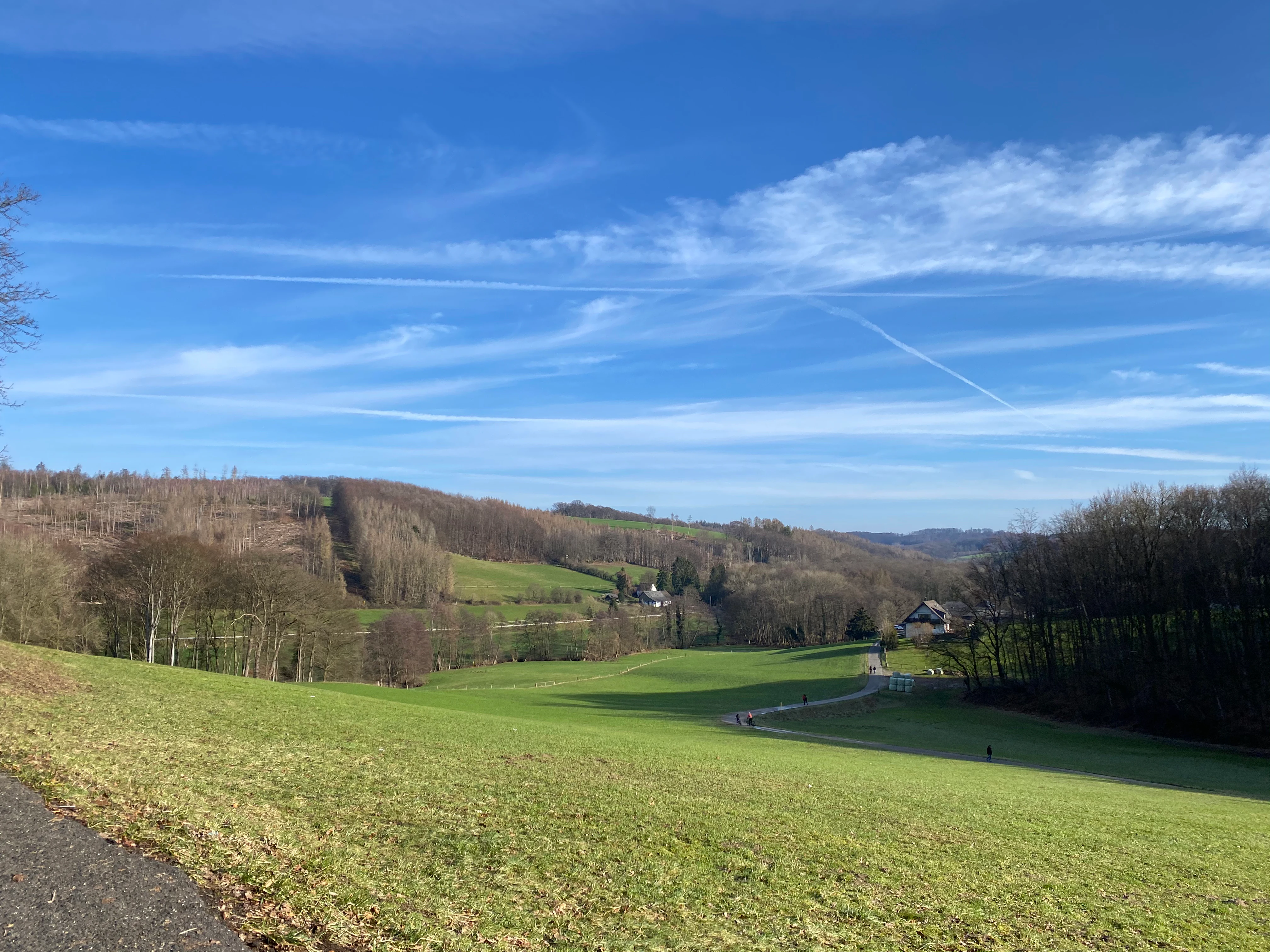
Wide angle view of a lush green meadow leading into a valley with forested hills under a blue sky with thin clouds.
A wide view of the meadow and valley landscape within the Scherfbachtal nature reserve.

Scherfbachtal Nature Reserve (Odenthal) ecosystems, habitats, and plant life

The Scherfbachtal reserve preserves an unusually complete mosaic of habitats typical of near-natural low-mountain stream valleys in the Bergisches Land. The Scherfbach itself represents a lowland-influenced brook course with relatively unpolluted, well-oxygenated water, gravel beds, meander loops, scour pools, and small floodplain banks, providing habitats for a diverse stream fauna.

Surrounding the stream are floodplain alder and ash forests, oak-hornbeam forests rich in oak, mature gallery woodlands of alder and tree willow, and species-rich beech high forests on the slopes. These forests feature dense, demanding shrub and ground layers, with abundant ferns, mosses, lichens, and fungi, particularly along the steeper embankments of the side valleys.

Open habitats include wet meadows, marshy floodplain pastures, abandoned grassland, and species-poor to moderately species-rich hay meadows on the lower slopes. Within the lower Scherfbach valley there are well-developed seepage springs with notable spring flora and small patches of wet grassland. Newly planted orchard trees and grove-like stands of river-side trees are also present in some sections, adding structural diversity to the landscape.
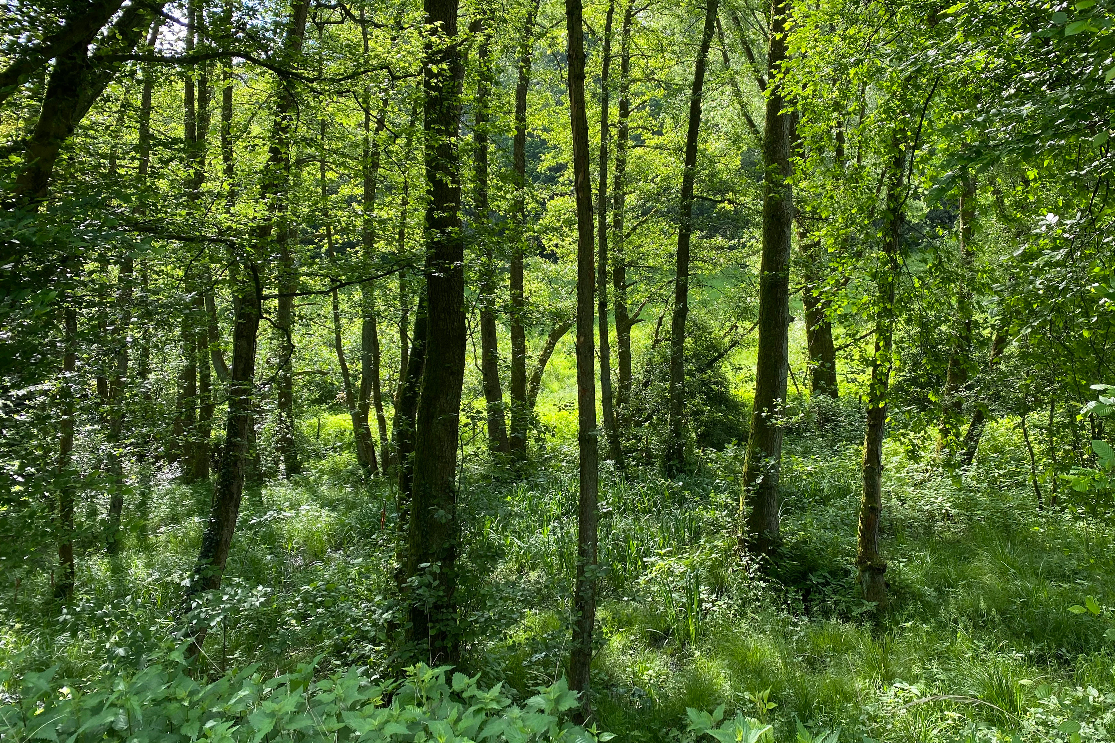
A dense, sunlit alluvial forest with slender deciduous trees and vibrant green undergrowth in a valley setting.
Alluvial forest landscape in the lower Kochsfelder Bachtal valley within the Naturschutzgebiet Scherfbachtal.

Scherfbachtal Nature Reserve (Odenthal) wildlife and species highlights

The Scherfbachtal reserve supports a characteristic range of Bergisches Land valley wildlife, with particular strength along the stream and in the wet meadows and floodplain forests. The relatively clean, well-structured Scherfbach provides habitat for a rich stream fauna, including species typical of near-natural lowland-influenced brooks such as the hooded mussel snail (Flussmützenschnecke).

The mosaic of wet meadows, marshy pastures, and abandoned grassland supports characteristic grassland invertebrates such as the meadow grasshopper (Gemeiner Grashüpfer) and the marsh grasshopper (Sumpfgrashüpfer), along with butterflies including the wall brown (Waldbrettspiel), the wall brown relative Mauerfuchs, and the large ringlet butterfly (Weißbindiger Mohrenfalter).

Birds associated with clean, structurally rich stream valleys and floodplain forests are also present, including the kingfisher (Eisvogel), the white-throated dipper (Wasseramsel), and the nightingale (Nachtigall), which favor dense riparian undergrowth and clear flowing water. Reptile species such as the grass snake (Ringelnatter) are supported by the combination of wet habitats, dense vegetation cover, and amphibian prey availability along the valley.
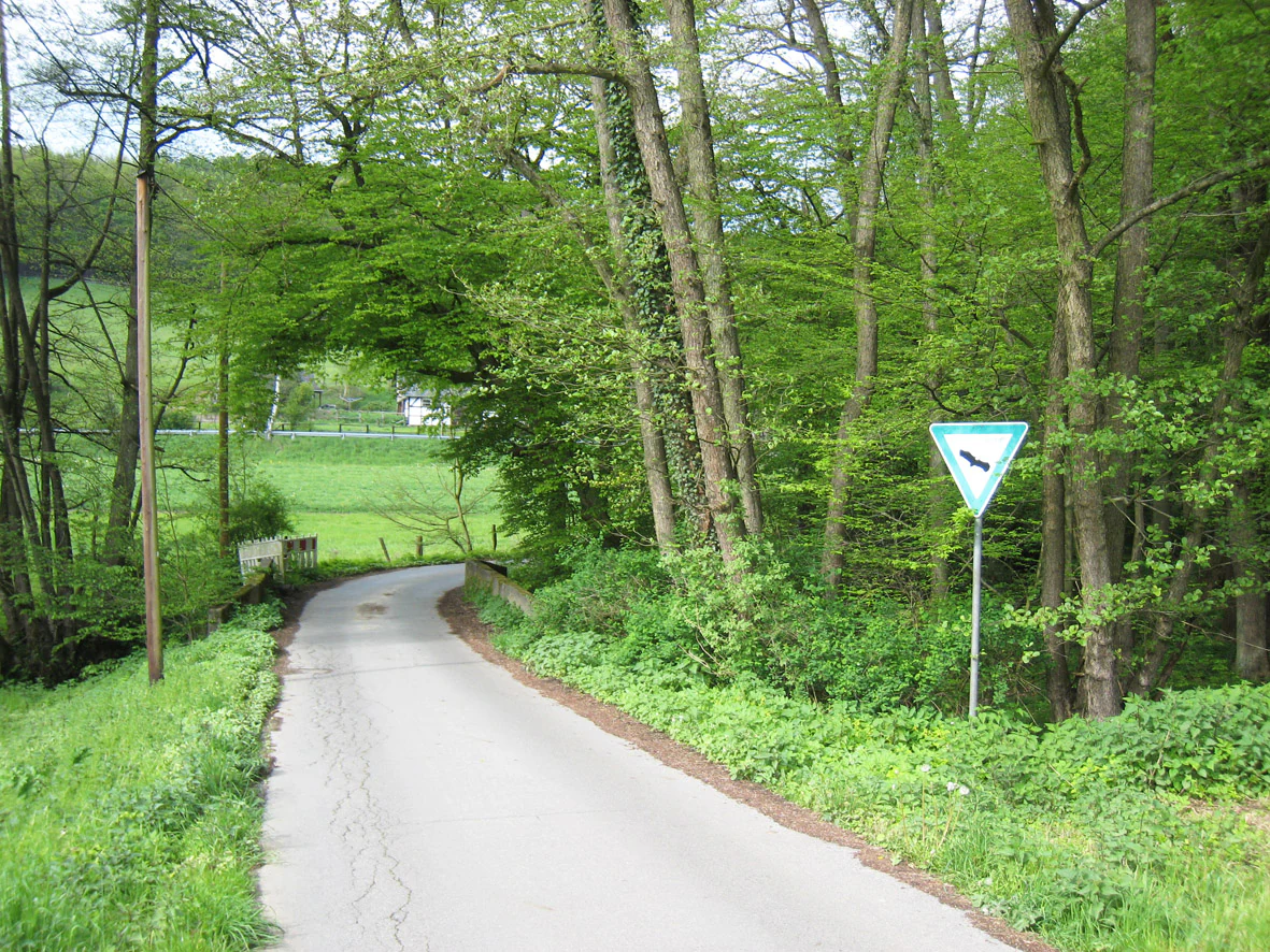
A narrow paved road curves through a dense green forest, with a green and white triangular traffic sign standing on the right edge of the road.
A rural road winding through the lush green landscape of the Scherfbachtal nature reserve in Odenthal.

Scherfbachtal Nature Reserve (Odenthal) conservation status and protection priorities

Scherfbachtal (Odenthal) is designated as a nature reserve under German nature protection law and classified under IUCN Category IV as a Habitat/Species Management Area. Its designation in 1994 followed the landscape plan Mittlere Dhünn, and the area is managed by the lower landscape authority (Untere Landschaftsbehörde) of the Rheinisch-Bergisch district under the designation NSG GL-029.

The conservation objective is to secure, maintain, and develop the species-rich marshy fallows, wet meadows, and lean hillside pastures along the valley floor, together with open grassland areas bordered by hedgerow and riparian woodland, remnant floodplain forests, and structurally rich riverside trees. A key element is the protection of the near-natural course of the Scherfbach with its pools, gravel and shingle banks, and the numerous narrow seepage valleys with pronounced springheads and spring flora.

The reserve is part of the broader flowing-water network of the Bergisches Land and plays a role in maintaining hydrological connectivity and ecological continuity for stream-dependent species across the region. Its relatively undisturbed water quality, supported by the low settlement density in the headwater region, is itself a central conservation value.

Scherfbachtal Nature Reserve (Odenthal) cultural meaning and human context

The Scherfbachtal reserve lies within the rural municipal area of Odenthal, in a part of the Rheinisch-Bergisch district where traditional land use has shaped narrow stream valleys for centuries. The mosaic of meadows, pastures, gallery woodlands, and valley forests reflects historic farming and grazing practices of the Bergisches Land, where valley bottoms were kept open while steeper slopes remained wooded.

Small settlements such as Klev, Klasmühle, Höffe, Amtmannscherf, Voiswinkel, and Küchenberg are closely associated with the protected valley sections. Old orchard trees and groups of riverside trees preserved in some sections underline the long-standing relationship between local communities and the valley landscape. In the lower reaches, near-mouth sections of the floodplain have been actively restored with oak, hornbeam, and ash, reflecting modern conservation efforts that combine ecological recovery with the region's cultural landscape heritage.

Top sights and standout views in Scherfbachtal Nature Reserve (Odenthal)

Scherfbachtal (Odenthal) stands out for protecting one of the more complete near-natural sections of the Scherfbach stream system within the Bergisches Land, spanning from headwater tributaries near Klev through to the confluence with the Dhünn. Its combination of meandering lowland brooks, seepage springs, gallery forests, mature floodplain oak-hornbeam woodlands, and species-rich wet meadows gives the area a notably high habitat diversity within a fragmented but ecologically coherent reserve.

The reserve is particularly valued for its undisturbed water quality and its rich stream and spring fauna, as well as for the steep Siefen side valleys with their ferns, mosses, lichens, and fungi-rich slopes. As part of the wider flowing-water network of the Bergisches Land, it functions both as an important headwater catchment area for the Scherfbach and as a refuge for characteristic lowland valley species such as the kingfisher, the white-throated dipper, and the grass snake.

Best time to visit Scherfbachtal Nature Reserve (Odenthal)

Spring and early summer bring high ecological activity to the Scherfbachtal reserve, with flowering wet meadows, active birdlife along the brooks, and rich fern and moss displays on the shaded valley slopes. Late spring is particularly favorable for observing characteristic bird species such as the white-throated dipper along the Scherfbach and nightingales in the riparian undergrowth, while butterfly diversity peaks in the open grassland sections during early to mid-summer.

Autumn offers vividly colored floodplain forests and good conditions for observing fungi and lichens on the valley slopes. Winter visits can be rewarding for experiencing the open structure of the meadows and the meandering stream channel, though some sections may be wet and difficult to access underfoot, and vegetation cover is reduced.

Monthly climate preview

Long term temperature and precipitation records measured at a representative coordinate

Naturschutzgebiet Scherfbachtal, Annual Climate Normals and Weather by Month

Historical data recorded between 1991 and 2000 reveals a steady progression of mean monthly temperatures and precipitation rates across the protected valley floor. Examining the complete twelve month profile provides deeper insight into measured long term climatic fluctuations and baseline regional averages.
Annual mean10 °C
1 °C19 °C
Jan
Feb
Mar
Apr
May13°
Jun17°
Jul19°
Aug19°
Sep15°
Oct10°
Nov
Dec
Warmest month
July

19.2 °C

Coolest month
January

1.3 °C

Wettest month
December

2.6 mm/day

Driest month
April

1.6 mm/day

Park location guide

Geography guide, regional context, and park location map for Scherfbachtal Nature Reserve (Odenthal)

Scherfbachtal Nature Reserve (Odenthal) park geography, regions, and map view in Germany

Understand where Scherfbachtal Nature Reserve (Odenthal) sits in Germany through a broader geographic reading of the surrounding landscape, nearby location context, and its mapped position within the national park landscape.

How Scherfbachtal Nature Reserve (Odenthal) fits into Germany

Germany is a federal republic in Western and Central Europe with a population of over 83 million across sixteen constituent states. It is Europe's largest economy by nominal GDP and a major global exporter and importer. The capital is Berlin, and the country borders Denmark, Poland, Czech Republic, Austria, Switzerland, France, Luxembourg, Belgium, and the Netherlands.

Wider geography shaping Scherfbachtal Nature Reserve (Odenthal) in Germany

Germany is located in Western and Central Europe, spanning 357,022 km². It borders Denmark to the north, Poland and the Czech Republic to the east, Austria and Switzerland to the south, and France, Luxembourg, Belgium, and the Netherlands to the west. The country has coastlines on the Baltic Sea and North Sea to the north, with the Alps located in the southern region.

Map view of Scherfbachtal Nature Reserve (Odenthal)

Use this park location map to pinpoint Scherfbachtal Nature Reserve (Odenthal) in Germany, understand its exact geographic position, and read its mapped placement within the surrounding landscape more clearly.

Pigeon | © OpenStreetMap contributors

Location context for Scherfbachtal Nature Reserve (Odenthal)

Nordrhein-WestfalenRheinisch-Bergischer Kreis

Visualizing stream valleys, riparian forests, and low-mountain habitats across the reserve

Naturschutzgebiet Scherfbachtal (Odenthal) Photos and Protected Landscape Scenery

Visual records reveal the meandering brooks, alder gallery forests, and steep greywacke gorges that define the protected landscape. Examining these field photographs helps researchers understand the terrain, stream morphology, and diverse vegetation communities of the Bergisches Land.

A small pool of water surrounded by muddy ground and dense green forest foliage in the Scherfbachtal nature reserve.

A peaceful, narrow stream flowing through a lush deciduous forest with a prominent tree trunk on the right bank.

Wide angle view of a lush green meadow leading into a valley with forested hills under a blue sky with thin clouds.

A dense, sunlit alluvial forest with slender deciduous trees and vibrant green undergrowth in a valley setting.

A narrow paved road curves through a dense green forest, with a green and white triangular traffic sign standing on the right edge of the road.

A small stream flowing past a line of bare deciduous trees at the edge of a green meadow in early spring.

Park atlas

Compare adjacent valley reserves and regional low-mountain protected areas

Parks Near Naturschutzgebiet Scherfbachtal (Odenthal) and Surrounding Protected Landscapes

Browse nearby protected areas sharing similar stream valleys, riparian forests, and low-mountain terrain characteristics with Naturschutzgebiet Scherfbachtal (Odenthal). Expanding geographic comparison across the Bergisches Land reveals connected freshwater habitats and regional conservation networks.
Nature reserveNordrhein-Westfalen
About 2.6 km away#1 closest

East

Naturschutzgebiet Scherfbachtal: Protected Stream Valley and Spring Landscape Analysis

Regional protected geography in Nordrhein-Westfalen

Delve into the protected terrain of Naturschutzgebiet Scherfbachtal, which preserves a rare network of spring basins, wet meadows, and floodplain forests. This site exemplifies the ecological value of small, interconnected valley habitats within the wider Bergisches Land region of North Rhine-Westphalia, providing essential sanctuary for local stream-dependent ecosystems.

Established
2012
IUCN
IV
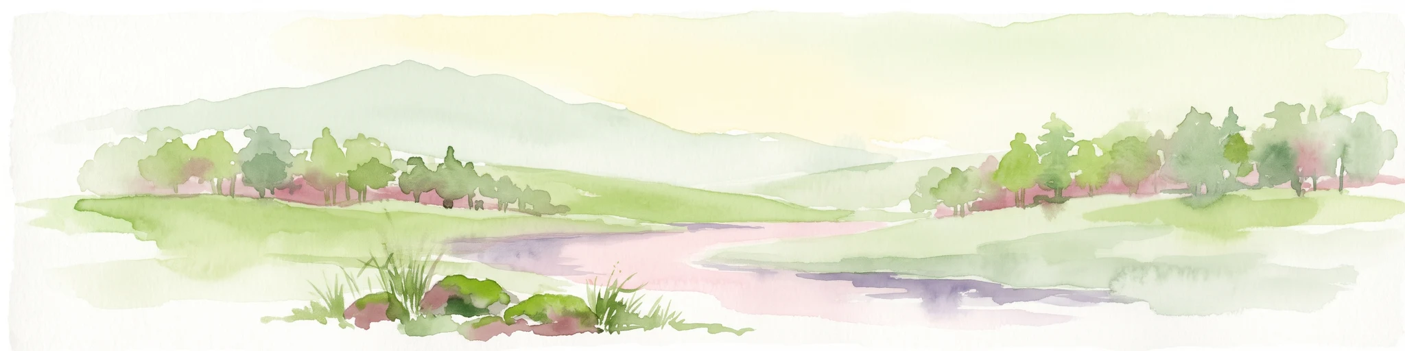
A horizontal watercolor painting showing a peaceful river valley with green meadows, trees on both sides, and soft rolling hills in the background under a warm sky.
Nature reserveRheinisch-Bergischer Kreis
About 2.9 km away#2 closest

North

Naturschutzgebiet Pfengstbach: Protected Brook Valley and Meadow Landscape Analysis

Regional geography and natural valley terrain of Rheinisch-Bergischer Kreis

Analyze the structural integrity of the Naturschutzgebiet Pfengstbach brook valley, featuring a detailed look at its riparian woodland, seepage springs, and wet meadow distribution. This protected area offers a precise example of Bergisches Land valley morphology, where meadow floors and mixed deciduous slopes intersect within a significant Natura 2000-linked conservation corridor.

Area
18.6 km²
Established
1994
IUCN
IV
Relief
Upland
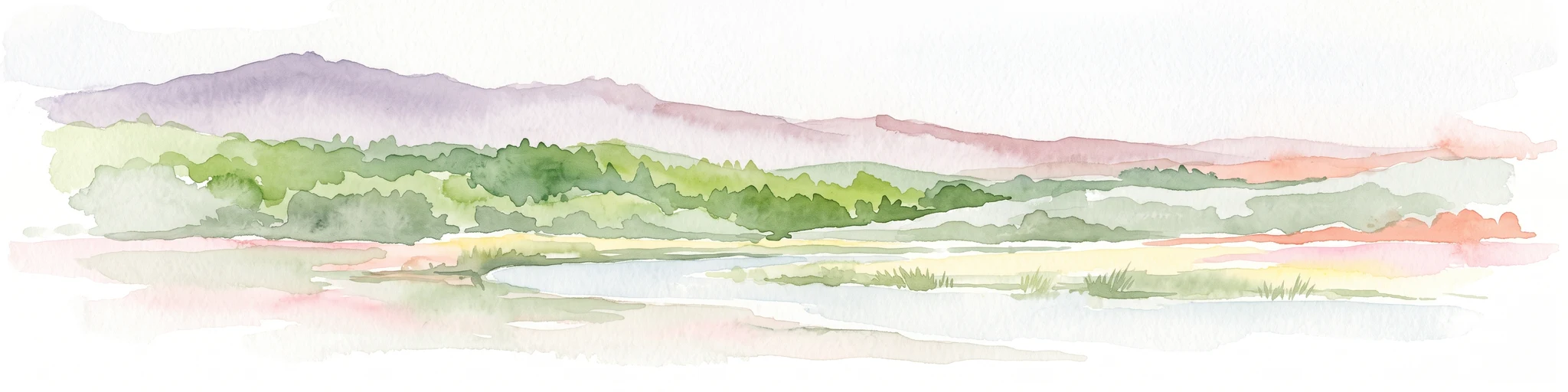
A horizontal watercolor painting depicting a soft landscape with distant rolling hills, mid-ground green forests, and a foreground area of wetland and water.
Nature reserveNordrhein-Westfalen
About 7 km away#3 closest

Southeast

Naturschutzgebiet Alemigsiefental: Nature Reserve Geography and Protected Valley Landscapes

Protected riparian habitat in the Bergisches Land of Germany

Examine the mapped boundaries and natural terrain of Naturschutzgebiet Alemigsiefental. This nature reserve in Nordrhein-Westfalen protects an essential stream corridor, wet meadows, and floodplain forests, serving as a critical habitat within the regional network of protected watercourses.

Area
0.101 km²
Established
1990
IUCN
IV
Relief
Upland
Nature reserveNorth Rhine-Westphalia
About 8 km away#4 closest

Southeast

Naturschutzgebiet Ölsiefental Protected Area and Stream Valley Map in North Rhine-Westphalia

Representative valley landscape with moist deciduous forest and spring mire habitats

Naturschutzgebiet Ölsiefental preserves a compact yet diverse mosaic of brook, swamp, and floodplain forest. This protected area in North Rhine-Westphalia follows the Ölsiefen stream from its source to the Sülz river, providing a valuable study of intact valley relief, wet meadow ecology, and historical coppice woodland management in the Bergisches Land region.

Area
0.05 km²
Established
1990
IUCN
IV
Nature reserveRheinisch-Bergischer Kreis
About 8.7 km away#5 closest

East

Naturschutzgebiet Olpebachtal: Nature Reserve and Protected Stream Valley Geography

A protected landscape mosaic in Rheinisch-Bergischer Kreis

Naturschutzgebiet Olpebachtal protects a unique, near-natural section of the Olpebach stream valley. Characterized by wide floodplains, wet meadows, and narrow tributary ravines, the reserve functions as a critical habitat linkage within the rolling terrain of the Bergische Hochflächen. Its geography provides a clear window into the stream-floodplain systems that define the natural character of the broader region.

Area
0.251 km²
Established
1990
IUCN
IV
Nature reserveNordrhein-Westfalen
About 11 km away#6 closest

Northwest

Wupperhang mit Henkensiepen und Hüscheider Bachtal Protected Area and Geographic Atlas

Forested river valleys and slopes in Nordrhein-Westfalen

Investigate the detailed geography of Wupperhang mit Henkensiepen und Hüscheider Bachtal, a nature reserve showcasing prime Hainsimsen beech forest and riparian habitats. The area represents a key ecological corridor along the Wupper River, featuring rugged side valleys, calcareous springs, and diverse floodplain vegetation that defines this protected woodland segment of the Bergisches Land.

Area
34.65 km²
Established
1985
IUCN
IV
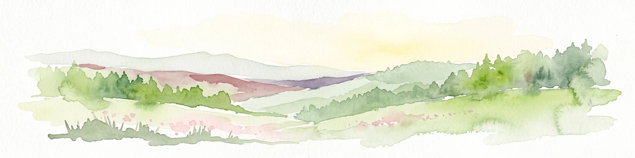
A horizontal watercolor illustration depicting rolling hills, forest patches, and a soft, hazy valley against a white background.
Nature reserveNorth Rhine-Westphalia
About 11 km away#7 closest

Northeast

Mausbachtal Nature Reserve in North Rhine-Westphalia: Protected Stream Valley and Forest Landscapes

Regional stream valley network and deciduous forest landscape

This protected area in the Oberbergischer Kreis offers a window into the Bergische Hochflächen topography. The reserve highlights a mosaic of near-natural beech forest, wet meadows, and floodplain woodland, forming an integral link in the regional stream network connected to the Große Dhünn.

Area
0.237 km²
Established
2013
IUCN
IV
Nature reserveNordrhein-Westfalen
About 13 km away#8 closest

West

Wupperinsel Nature Reserve: Mapped Protected Landscapes in Nordrhein-Westfalen

Riparian woodland, floodplain islands, and meadow habitats.

Discover the geographic role of Wupperinsel as a designated nature reserve within the Wupper River corridor. This site features a rare Glatthafer meadow, mature poplar lines, and mixed-woodland groves that provide essential habitat connectivity. Analyze the protected island boundaries and the layered floodplain terrain that characterize this significant ecological fragment in urban Germany.

Area
0.054 km²
Established
1987
IUCN
IV

Common questions about visiting, size, designation, and location context for Scherfbachtal Nature Reserve (Odenthal)

Scherfbachtal Nature Reserve (Odenthal) FAQs for park facts, access, geography, and protected area context

Find quick answers about Scherfbachtal Nature Reserve (Odenthal), including protected-area facts, park geography, trail and visitor context, and how the park fits into its surrounding country and regional landscape.
MoriAtlas Explorer

Continue Your Protected Areas Search Across the Global Atlas

Deepen your exploration by continuing the structured search for national parks and protected areas worldwide. Utilize the comprehensive filtering capabilities to compare different conservation landscapes and refine your understanding of global park geography. Discover more about the distribution and characteristics of protected natural areas.

Global natural geography