Mori Atlas logo
Protected areaNeuvilly

A detailed geographic examination of the protected terrain, environmental boundaries, and regional ecological setting.

Neuvilly Protected Area: Mapped Geographic Boundaries and Regional Landscape Context in Hauts-de-France

The Neuvilly protected area serves as a focal point for understanding the natural landscape and regional geography within the Hauts-de-France territory. This record provides a structured view of the site boundaries and environmental context, offering a clear perspective on how this protected land integrates into the broader northern French landscape. Researchers and geography enthusiasts can utilize these mappings to analyze the terrain composition and regional distribution of protected zones across the local department.

nature reservebeech forestsemi-dry grasslandorchidsbutterfliesffh site

Neuvilly

Protected area

Park overview

Structured park overview, official facts, and landscape profile for Neuvilly

Neuvilly park facts, protected area profile, and essential visitor context

Review the core facts for Neuvilly, including designation, size, terrain, visitor scale, habitats, and operating context in one park-focused overview.
Protection and recognition

Documented terrestrial protection scope and established recognition timeline

Neuvilly Protection Status and Official Designation History

Neuvilly maintains a documented terrestrial protection status established in 1990 without external transboundary affiliations or imported international listings. Official designation records provide baseline management context for this protected natural area.

Protection details

Protection scope
Terrestrial
Designated year
1990
Transboundary protection
No
Monthly climate preview

Long-term monthly temperature and precipitation patterns across representative coordinates

Neuvilly Climate Normals and Measured Annual Temperature Rhythm

Representative coordinate sampling records measured monthly temperature variations and precipitation averages spanning twelve distinct periods for Neuvilly. Examining the complete monthly climate profile reveals detailed long-term averages for both temperature and precipitation across the protected terrain.
Annual mean10 °C
2 °C18 °C
Jan
Feb
Mar
Apr
May13°
Jun16°
Jul18°
Aug17°
Sep14°
Oct10°
Nov
Dec
Warmest month
July

17.7 °C

Coolest month
January

2 °C

Wettest month
December

2.9 mm/day

Driest month
April

1.6 mm/day

Park location guide

Geography guide, regional context, and park location map for Neuvilly

Neuvilly park geography, regions, and map view in France

Understand where Neuvilly sits in France through a broader geographic reading of the surrounding landscape, nearby location context, and its mapped position within the national park landscape.

How Neuvilly fits into France

France is a unitary semi-presidential republic and one of the world's largest economies. It borders Belgium, Luxembourg, Germany, Switzerland, Italy, Monaco, Andorra, and Spain, with a maritime border to the United Kingdom. The country is known for its cultural influence, art, cuisine, and political history spanning centuries.

Wider geography shaping Neuvilly in France

France is located in Western Europe. Metropolitan France extends from the Rhine to the Atlantic Ocean and from the Mediterranean Sea to the English Channel and North Sea. The country borders Belgium, Luxembourg, Germany, Switzerland, Italy, Monaco, Andorra, Spain, and has a maritime border with the United Kingdom.

Map view of Neuvilly

Use this park location map to pinpoint Neuvilly in France, understand its exact geographic position, and read its mapped placement within the surrounding landscape more clearly.

Pigeon | © OpenStreetMap contributors

Location context for Neuvilly

Hauts-de-France

Visual reference collection showcasing the terrain and natural environment of Neuvilly

Neuvilly Landscape Photography and Protected Area Scenery

Photographic documentation reveals the distinct topography, vegetation patterns, and conservation features that define the protected landscape of Neuvilly. Examining these field images provides clear visual insight into the ecological character and natural environment of the reserve.

A winter landscape showing a snow-covered field with bare bushes and shrubs, a central path or depression running through the middle, and trees in the background under an overcast gray sky.

A wide view of a grassy field lightly covered in snow, with bare trees and a forested hill in the background under a grey, overcast sky.

Park atlas

Compare adjacent conservation landscapes and regional park geography

Explore Protected Areas and Other Notable Parks Near Neuvilly

Browsing national parks and protected areas near Neuvilly reveals connected regional conservation geography and diverse natural terrain. Comparing adjacent protected landscapes extends geographic discovery beyond a single protected area into broader regional patterns.
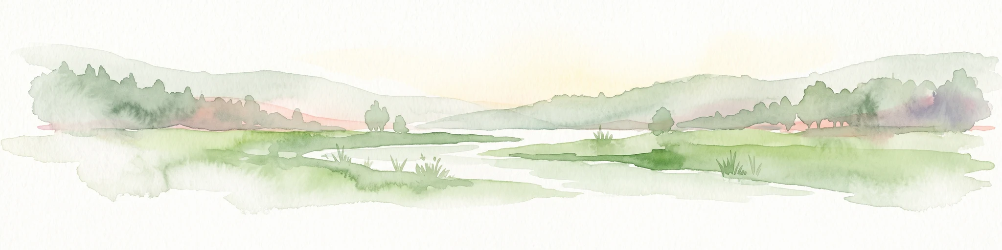
A watercolor painting showing a soft, panoramic landscape with green hills in the distance, a meandering stream in the foreground, and grassy banks with subtle pink floral highlights.
Nature reserveHauts-de-France
About 15 km away#1 closest

East

Réserve naturelle régionale des Prairies du Val de Sambre: Regional Nature Reserve Atlas

Wetland floodplain meadows in the middle Sambre valley

The Réserve naturelle régionale des Prairies du Val de Sambre protects essential wet grassland habitats in northern France. Spanning approximately 49 hectares along the canalised Sambre, this protected area maintains traditional meadow systems that support wetland-dependent species; it represents a key junction in the regional landscape between the Mormal forest and Thiérache bocage.

Area
0.494 km²
Established
2012
IUCN
IV
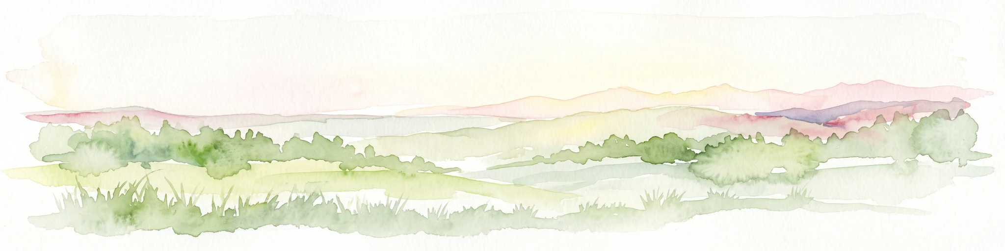
A soft, painterly watercolor illustration showing a winding river flowing through a lush green valley with rolling hills in the background.
Nature reserveHauts-de-France
About 23 km away#2 closest

West

Réserve naturelle régionale de l'Escaut-rivière: Protected Wetland and Alluvial Corridor

Regional nature reserve in the Hauts-de-France floodplain

Spanning sixty hectares in the Cambrésis plain, this reserve protects a unique alluvial floodplain mosaic. The site provides a critical habitat refuge of wet meadows and regenerating woodland, marking a significant success in ecological restoration and fluvial corridor protection along the Escaut river.

Area
0.594 km²
Established
2011
IUCN
IV
Relief
Lowland
A pale, soft watercolor painting showing a rolling landscape with gentle green hills, grassy foreground, and distant hazy ridges under a white sky.
Nature reserveHauts-de-France
About 25 km away#3 closest

Northeast

Réserve naturelle régionale de la carrière des Nerviens, Protected Nature Reserve and Habitat Mosaic

Regional landscape context in Hauts-de-France, France

Spanning approximately three hectares, this nature reserve in the Hauts-de-France region serves as a dense habitat mosaic formed on former quarry lands. The site preserves regionally protected orchid species and rare plant formations through focused conservation management, offering a compelling look at post-industrial ecological succession and calcareous flora.

Area
0.031 km²
Established
2009
IUCN
IV
Relief
Lowland
Protected areaNord
About 27 km away#4 closest

North

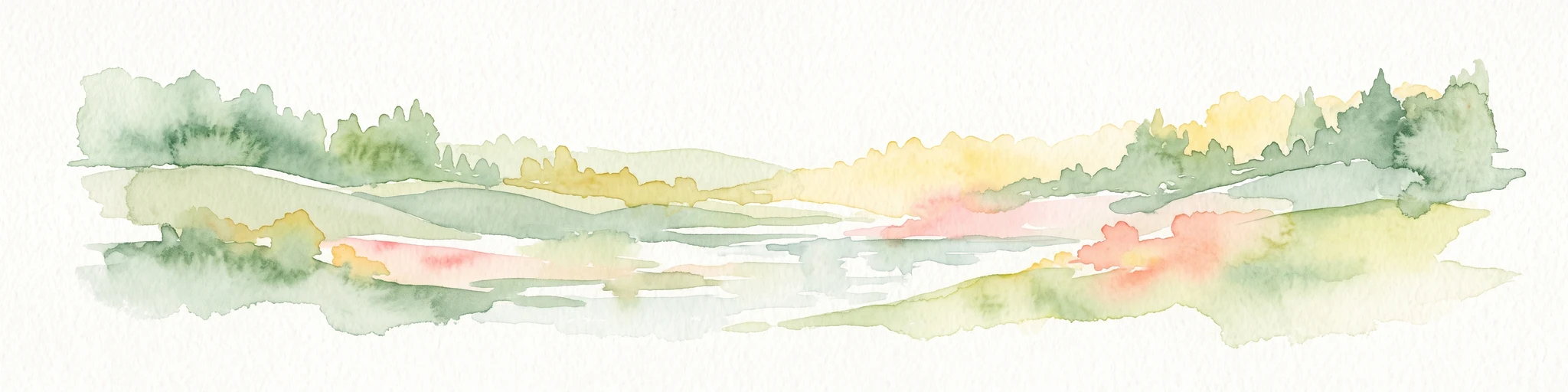
Vallées de la Scarpe et de l'Escaut Protected Landscape Geography and Map Context

Wetland mosaic, subsidence lakes, and river floodplains in Nord

Examine the physical geography of the Scarpe and Escaut Valleys, a premier wetland site in northern France. The protected area features a mosaic of marshes, wet meadows, and mining-subsidence lakes that provide vital habitats for migratory waterbirds and support carbon storage through rare alkaline peatlands.

Area
276.22 km²
Established
2020
Relief
Lowland
Scope
Terrestrial
A wide watercolor illustration showing a calm river reflecting pink and yellow hues, bordered by green trees and vegetation on both banks.
Nature reserveHauts-de-France
About 27 km away#5 closest

Northeast

Réserve naturelle régionale du bois d'Encade: Protected Woodland and Quarry Mosaic

Regional Nature Reserve in the Hauts-de-France river valley.

Spanning a compact stretch of the Hogneau valley, this nature reserve protects diverse habitats including fern-rich rock crevices and mature forest stands. The site represents a crucial ecological stepping stone that provides refuge for numerous bird, bat, and invertebrate species within a heavily cultivated agricultural corridor of northern France.

Area
0.021 km²
Established
2001
IUCN
IV
Relief
Lowland
Nature reserveHauts-de-France
About 27 km away#6 closest

East

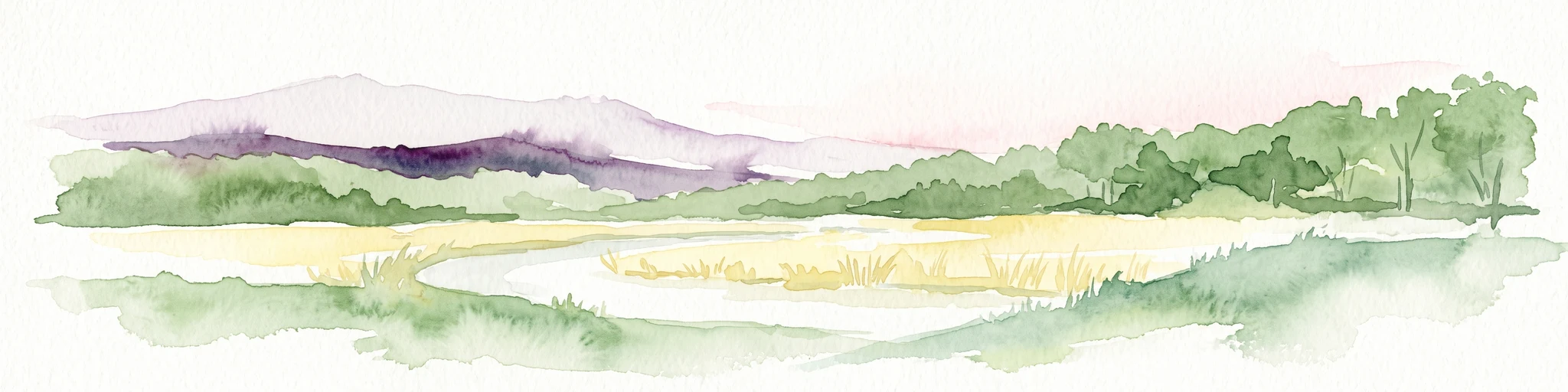
Réserve naturelle régionale de Pantegnies: Protected Landscape and Regional Map Overview

A managed nature reserve in the Hauts-de-France region

Réserve naturelle régionale de Pantegnies covers 37 hectares of protected terrain near Pont-sur-Sambre. This IUCN Category IV site serves as a vital anchor for regional biodiversity management, offering a clear case study in the preservation of northern French landscapes through formal regional nature reserve status.

Area
0.37 km²
Established
2013
IUCN
IV
Scope
Terrestrial
A panoramic watercolor painting showing a winding river in a green meadow, with a line of trees on the right and purple mountains in the background.
Nature reserveHauts-de-France
About 34 km away#7 closest

Northwest

Réserve naturelle régionale de la tourbière de Vred: Protected Peatbog and Wetland Map

Geographic landscape in the Hauts-de-France alluvial plain

Vred Peatbog is an ecologically significant protected site in northern France, known for its floating sphagnum-bearing peat formation. The reserve contains a mosaic of managed drainage channels, reedbeds, and woodlands that provide a critical sanctuary for wetland species within the Scarpe valley landscape. This mapping data provides a detailed look at the site's unique alluvial basin and regional conservation status.

Area
0.41 km²
Established
2008
IUCN
IV
Relief
Lowland
Watercolor painting of a soft, hazy landscape featuring low hills in the background and marshy wetlands in the foreground with pastel shades of green, yellow, and soft pink.
Nature reserveHauts-de-France
About 36 km away#8 closest

Northwest

Réserve naturelle régionale du pré des Nonnettes: Regional Nature Reserve and Wetland Atlas

Alluvial marshland and hay meadow terrain in the Hauts-de-France

The Réserve naturelle régionale du pré des Nonnettes preserves a rare wet hay meadow habitat within the Marais du Vivier. Located in the lower Scarpe river valley, this nature reserve integrates marshy ground, ponds, and riparian woods to support a concentrated mosaic of wetland biodiversity. MoriAtlas provides detailed geographic context for this protected site and its significance within the larger Hauts-de-France wetland conservation network.

Area
0.173 km²
Established
2008
IUCN
IV
Relief
Lowland

Common questions about visiting, size, designation, and location context for Neuvilly

Neuvilly FAQs for park facts, access, geography, and protected area context

Find quick answers about Neuvilly, including protected-area facts, park geography, trail and visitor context, and how the park fits into its surrounding country and regional landscape.
MoriAtlas Explorer

Continue Your Protected Areas Search Across the Global Atlas

Deepen your exploration by continuing the structured search for national parks and protected areas worldwide. Utilize the comprehensive filtering capabilities to compare different conservation landscapes and refine your understanding of global park geography. Discover more about the distribution and characteristics of protected natural areas.

Global natural geography