
Why Niederwallufer Bucht stands out
Niederwallufer Bucht is best known for protecting a surviving fragment of softwood floodplain forest (Weichholzauen) along the Upper Rhine. The combination of a guided backwater bay, riparian woodland, and adjacent meadows creates a compact but ecologically rich refuge that contrasts strongly with the heavily modified agricultural and urban surroundings of the Rheingau. It is also recognized for its importance to waterbirds and for spawning habitat used by plant-spawning fish species and amphibians, making it a small but disproportionately valuable node of biodiversity along this stretch of the Rhine.
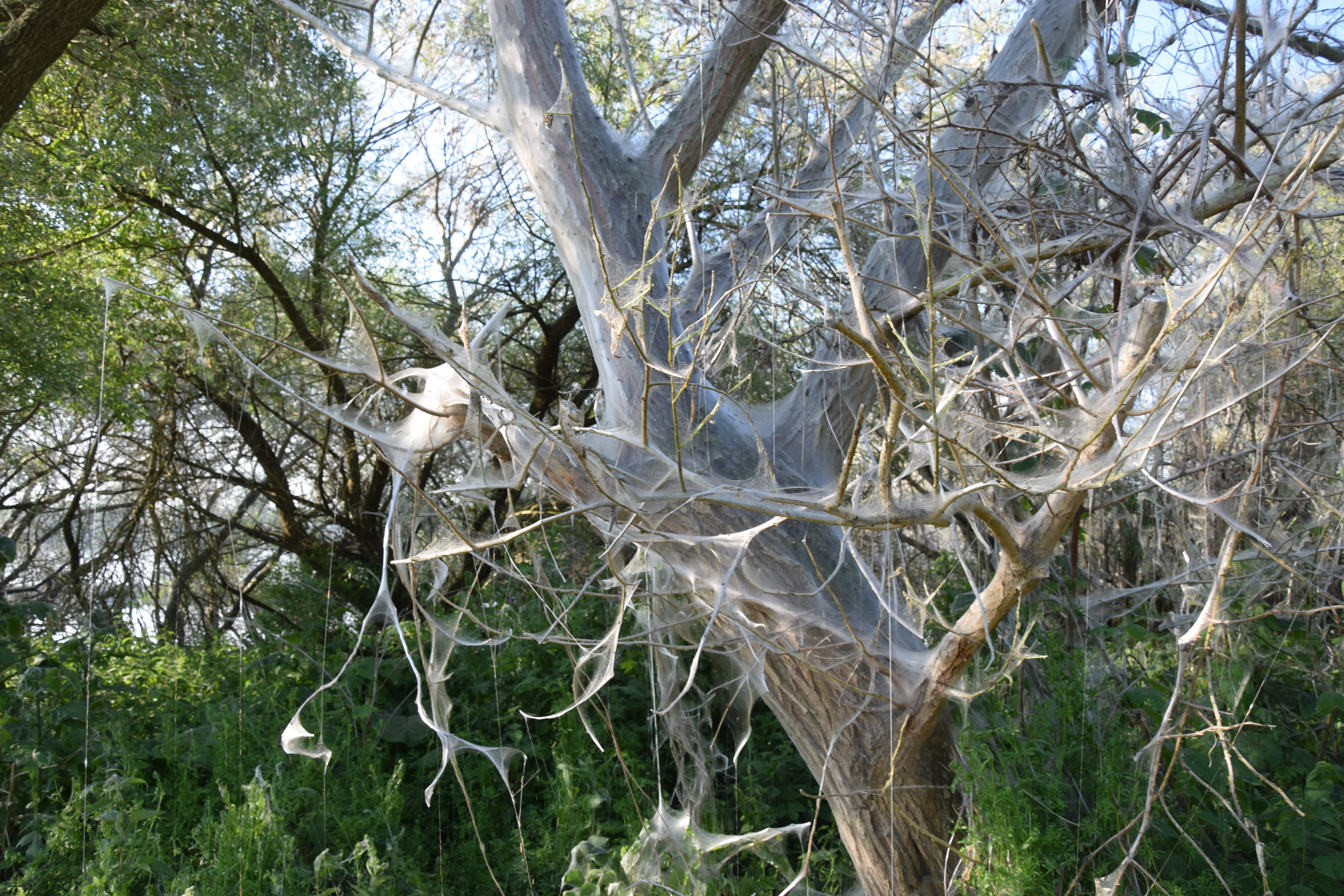
Niederwallufer Bucht history and protected-area timeline
Niederwallufer Bucht was formally designated as a nature reserve (Naturschutzgebiet) on 28 August 2000, reflecting growing recognition in the late twentieth century that surviving fragments of softwood floodplain forest along the Rhine required active protection in Hesse.
The present character of the bay is closely tied to Rhine engineering works, particularly the construction of a guiding dam that isolates the area from the main stream and produces the quiet backwater conditions on which the reserve's ecology depends. Historical aerial imagery from 1953 shows the bay area before the development of substantial tree cover, illustrating how dramatically the modern wooded habitat has grown since the mid-twentieth century.
The reserve therefore represents a relatively recent but legally established conservation response to long-term pressure on Rhine floodplain habitats in the Ingelheimer Rheinebene. Its designation brought one of the few remaining near-natural sections of riverbank in this stretch of the Rheingau under formal protection, integrating it into the broader network of nature reserves in both the Rheingau-Taunus district and the city of Wiesbaden.
Niederwallufer Bucht landscape and geographic character
The landscape of Niederwallufer Bucht is shaped by the interplay between a calm backwater basin and the active main channel of the Rhine. The guiding dam that separates the bay from the river effectively transforms a narrow slice of floodplain into a low-energy environment where sediment can settle, riparian vegetation can establish, and standing water conditions can persist long enough to support distinctive wetland and aquatic communities.
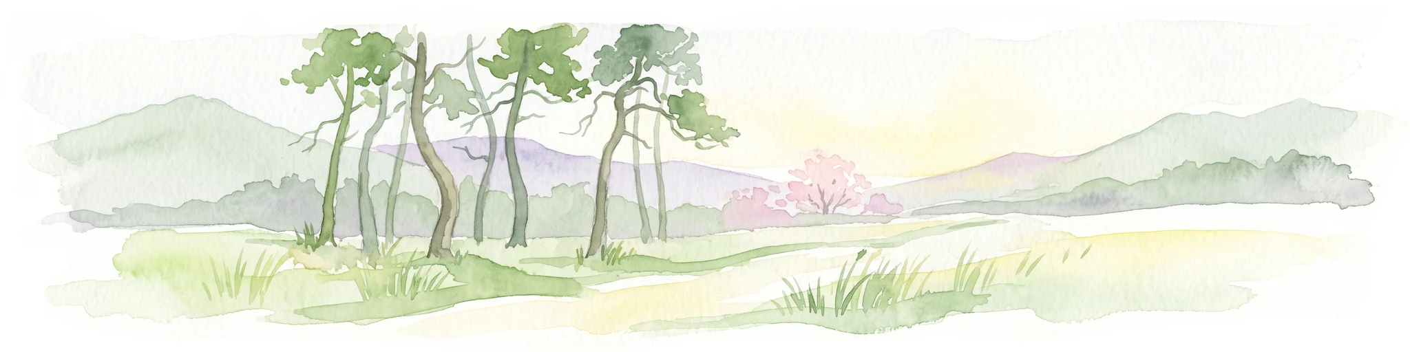
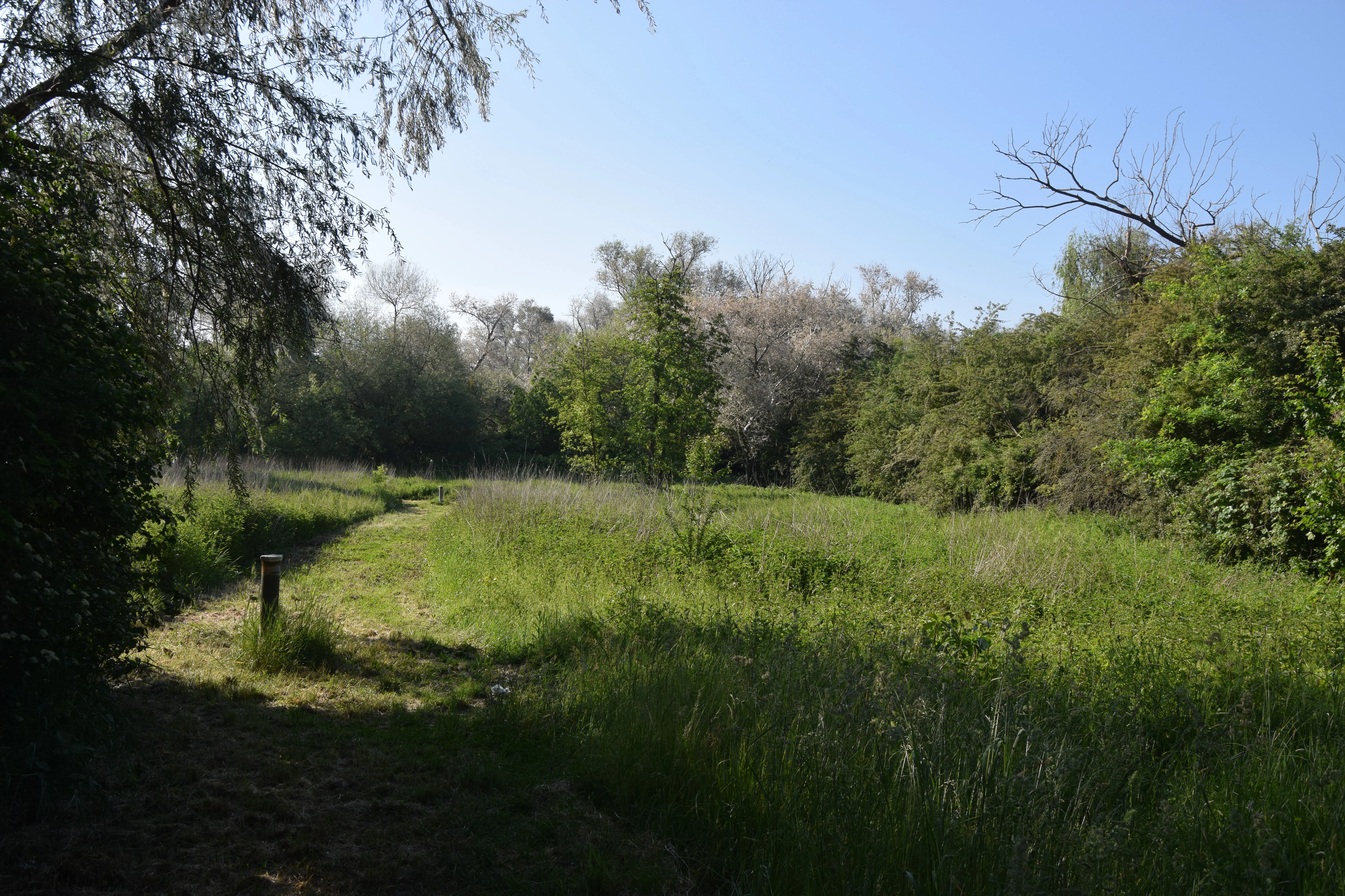
Along the shore, softwood floodplain forest dominates, with trees adapted to periodic flooding and saturated soils. Fallen and partially collapsed trees along the bank are a characteristic feature, contributing to the structural complexity of the habitat. Inland from the water's edge, open meadows provide a transition zone, while the flood-protection dike and its accompanying footpath and cycle route form a clear northern boundary between the reserve and the surrounding agricultural and built environment.
The wider setting completes the picture: the Rheingau is a long-established wine-growing region, and the views from and toward the reserve include vineyards, villages such as Walluf and Wiesbaden-Schierstein, harbour infrastructure, and the broad expanse of the Rhine itself, with the opposite bank at Budenheim forming the visual horizon.
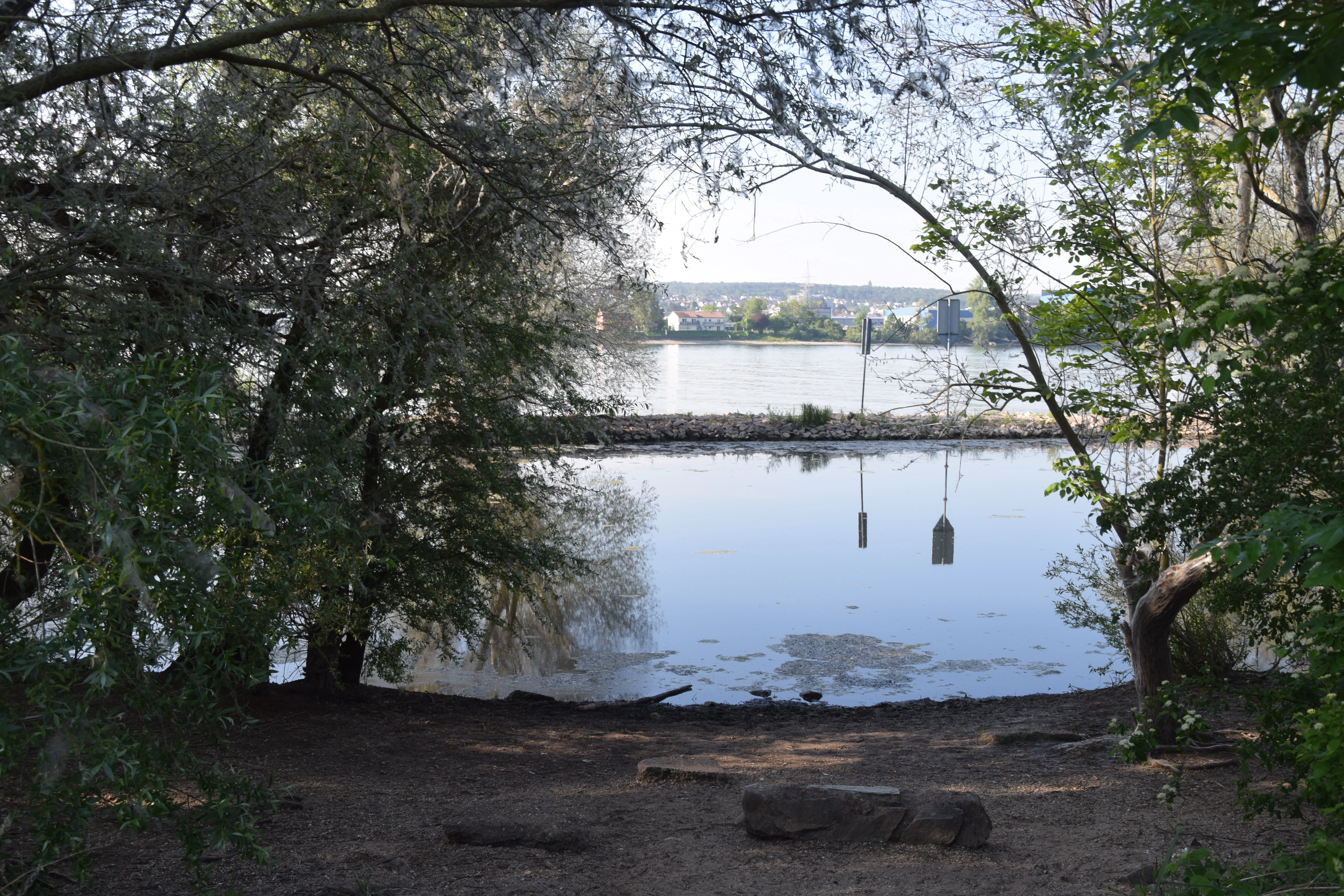
Niederwallufer Bucht ecosystems, habitats, and plant life
Ecologically, Niederwallufer Bucht represents one of the few preserved examples of near-natural Rhine bank and softwood floodplain forest habitat in the Ingelheimer Rheinebene. The reserve deliberately targets these communities because they have been heavily reduced across the region through river straightening, embankment, agricultural reclamation, and settlement.
The still-water zone supports a distinctive aquatic and semi-aquatic vegetation community, while the softwood floodplain forest along the banks adds a woody, structurally diverse layer above the waterline. Inland meadows extend the habitat mosaic further from the channel. Together these zones create a compact but layered ecological gradient from open water through riparian woodland to grassland, which is unusual in an otherwise intensively used Upper Rhine corridor.
Niederwallufer Bucht wildlife and species highlights
The bay and its surrounding riparian habitats make Niederwallufer Bucht an important site for waterbirds and other fauna along this stretch of the Rhine. The shoreline of the still-water zone functions as breeding, feeding, and resting habitat for a range of bird species, taking advantage of the combination of open water, sheltered banks, and adjacent woodland.
Aquatic life is equally central to the site's ecological value. The calmer conditions of the bay provide spawning habitat for plant-spawning fish and small fish species, as well as for amphibians that rely on submerged vegetation for egg deposition. The structural complexity of the softwood forest, including fallen trees and dense undergrowth, adds further habitat value for invertebrates, small mammals, and other groups that benefit from undisturbed riverside conditions.
Niederwallufer Bucht conservation status and protection priorities
Niederwallufer Bucht is protected under Hessian nature conservation law and is classified in the international system as an IUCN Category IV area, meaning it is specifically managed to conserve particular habitats and species. Its core conservation objective is the preservation of the near-natural Rhine bank and softwood floodplain forest communities of the Ingelheimer Rheinebene, ecosystems that have been substantially diminished elsewhere in the region.
Maintaining the ecological function of the backwater bay is central to the reserve's conservation purpose. Without the guiding dam separating the area from the main Rhine stream, the hydrological conditions that allow softwood floodplain forest, aquatic vegetation, and spawning habitat to thrive would not exist. The reserve therefore has both a habitat-protection role, safeguarding rare floodplain communities, and a species-support role, sustaining breeding and resting conditions for waterbirds and spawning grounds for fish and amphibians.
Beyond its local value, Niederwallufer Bucht contributes to the wider network of protected areas in the Rheingau-Taunus district and within the city of Wiesbaden, forming a small but meaningful component of regional biodiversity conservation along the heavily modified Upper Rhine corridor.
Niederwallufer Bucht cultural meaning and human context
Niederwallufer Bucht is embedded in the Rheingau, one of Germany's most historic wine-growing regions. The reserve lies between two traditional wine villages, Niederwalluf and Wiesbaden-Schierstein, and forms part of a cultural landscape where viticulture, river commerce, and flood management have shaped land use for centuries.
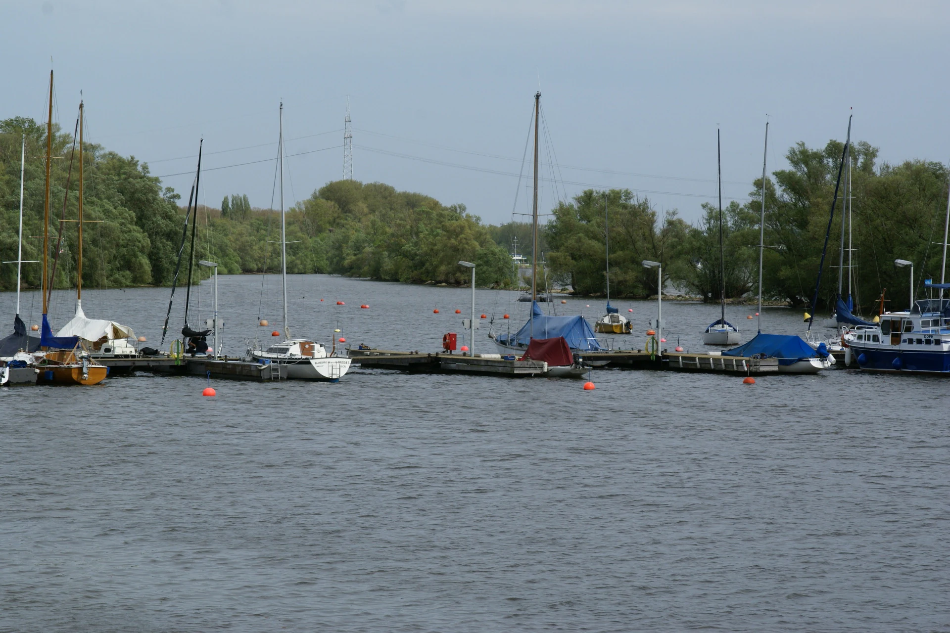
Harbour infrastructure at Niederwalluf and Schierstein reflects the long-standing relationship between the Rhine and the surrounding communities, while the presence of the Schierstein waterworks north of the reserve highlights the river's continuing role as a source of drinking water for Wiesbaden. The dike-top footpath and cycle route also connect the site into local recreational traditions, allowing the protected area to function simultaneously as a conservation refuge and as part of everyday regional life.
Top sights and standout views in Niederwallufer Bucht
Niederwallufer Bucht stands out for condensing several rare or threatened habitats into a very small footprint: a quiet Rhine backwater, softwood floodplain forest, riparian meadows, and adjacent dike infrastructure. This compact layering makes the reserve disproportionately valuable for biodiversity within an otherwise heavily modified stretch of the Upper Rhine.
Its combination of hydrological engineering, ecological recovery, and legal protection also makes it a useful example of how small riverine sites can be shielded from surrounding pressures and managed for long-term habitat continuity.
Best time to visit Niederwallufer Bucht
Spring and early summer are generally the most rewarding periods to experience the reserve, when water levels, vegetation growth, and breeding bird activity bring the site most fully to life. Subsiding summer warmth also brings active amphibian and fish spawning in the calmer waters of the bay, while autumn highlights the seasonal character of the softwood floodplain forest as trees shed leaves and the structural complexity of fallen timber becomes more visible.
Winter can offer a quieter, more contemplative atmosphere, with reduced vegetation cover improving visibility across the bay and its surrounding meadows. Conditions along the dike-top footpath and cycle route, which runs just outside the protected area, make the site broadly accessible year-round, though visitors should respect reserve boundaries and sensitive breeding seasons.