
Rivers
Park geography
Structured data on landscape extents, elevation ranges, and inland water networks
Geographic Profile and Boundary Mapping for Noel Kempff Mercado National Park in Bolivia
This geographic profile details the physical characteristics of Noel Kempff Mercado National Park, encompassing an area of 15,523 square kilometers within the Santa Cruz Department. It examines elevation spanning 600 to 900 meters and documents the regional distribution of rivers, plateaus, and waterfalls across its diverse tropical landscape.
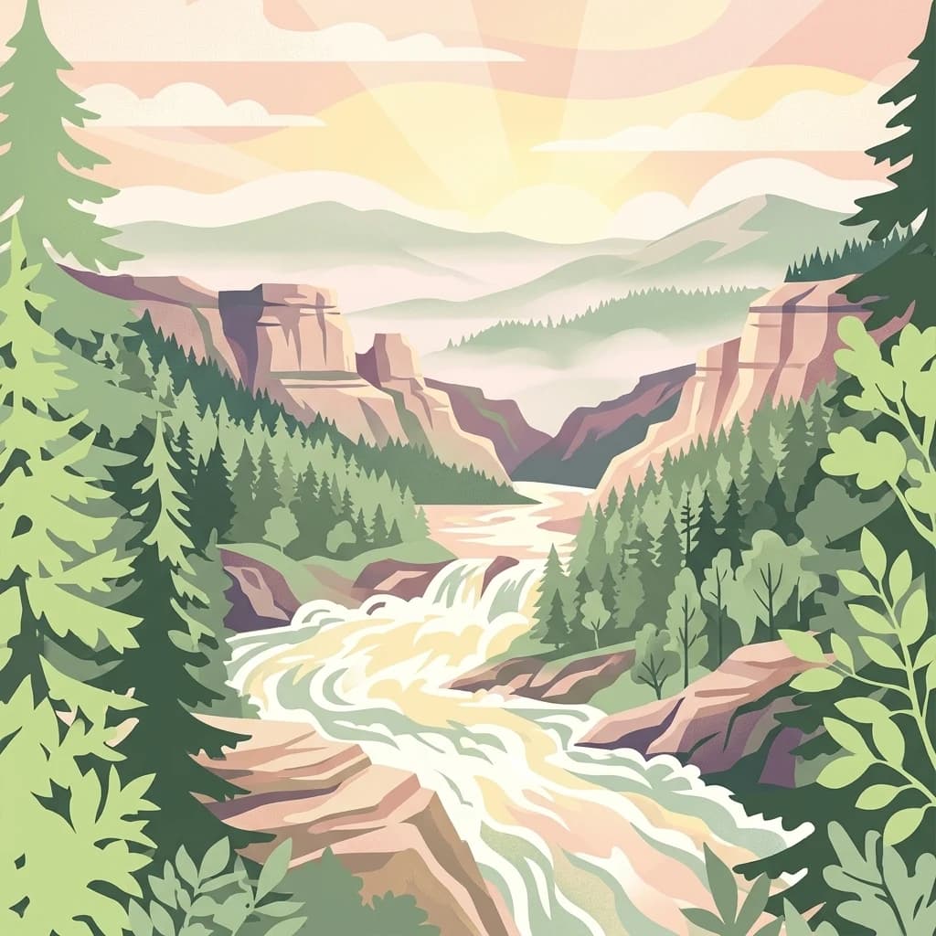
Bolivia's UNESCO World Heritage Site protecting one of the world's largest intact cerrado ecosystems on the Huanchaca Plateau
Noel Kempff Mercado National Park
Noel Kempff Mercado National Park is a vast protected area in northeastern Bolivia, spanning approximately 1.5 million hectares along the border with Brazil in Santa Cruz Department. The park is centered on the Huanchaca Plateau, a dramatic tabular mountain rising 600 to 900 meters above sea level with sheer cliffs reaching 300 meters in height. This remarkable landscape contains one of the largest protected tracts of undisturbed cerrado in the world, representing a transition zone where the Amazon rainforest meets tropical savanna. Established in 1979 and renamed in 1988 to honor a pioneering Bolivian biologist who was tragically killed in the park by drug traffickers, the area was designated a UNESCO World Heritage Site in 2000. The park's mosaic of habitats supports extraordinary biodiversity, including viable populations of many globally threatened large vertebrates.
- Location
- Bolivia
- Park type
- National park
- Established
- 1979
- Area
- 15,523 km²
Location overview
Transboundary park geography in the Santa Cruz Department of Bolivia
Noel Kempff Mercado National Park Geographic Location
Noel Kempff Mercado National Park lies within the Santa Cruz Department of Bolivia. Regional records detail its transboundary designation and high-level geographic status within South America.
- Countries
- Bolivia
- Regions
- Santa Cruz Department
- Primary location
- Santa Cruz Department
- Geographic setting
- Transboundary · Inland
Boundary and coordinates
Interactive boundary geometry and calculated area metrics
Noel Kempff Mercado National Park Boundary Map and Spatial Extent
Mapped park outlines provide spatial context for regional boundaries and conservation geography. Accompanying measurements detail total area coverage and coordinate spans across the protected zone.
- Boundary area
- 15,867.3 km²
- Boundary perimeter
- 958.9 km
- Northernmost point
- 13.4779° S
- Southernmost point
- 15.0977° S
- Easternmost point
- 60.245° W
- Westernmost point
- 61.8433° W
- Geographic centre
- 14.2159° S, 60.9051° W
- North–south span
- 179.2 km
- East–west span
- 172.5 km
Elevation and terrain
Explore recorded mixed relief profiles and internal natural features.
Noel Kempff Mercado National Park Terrain and Elevation Range
Recorded elevation ranges span from 600 meters to 900 meters across mixed park terrain. Linked feature cards supply names, types, and spatial relationships for interior waters and landforms.
Elevation span
300 m
Vertical extent from the lowest to the highest recorded elevation in the park
- Minimum elevation
- 600 m
- Maximum elevation
- 900 m
Selected named natural features
Rivers
Rio Paucerna
Rivers
Guapore River
Rivers
Rio Pauserna
Rivers
Río Guaporé / Río Iténez
Waterfalls
Catarata Federico Ahlfeld
Environmental setting
Explore recorded tropical climate, mixed relief, and forest habitat types across the landscape.
Noel Kempff Mercado National Park Environmental Classification and Physical Setting
Recorded landscape features and tropical forest classifications serve as complementary ways to interpret the physical setting of Noel Kempff Mercado National Park. Mapped categories connect directly to related protected areas and geographic profiles within the atlas.
- Relief
- Mixed relief
- Climate
- Tropical
- Water
- Major water bodies
- Forest cover
- Mostly forested
- Seasonality
- Seasonal
Landscape features
Plateau · Cliffs · Forest · Woodland · Grassland · Wetland · Rivers · Waterfalls
Habitat types
Temperate broadleaf forest · Tropical forest · Montane forest · Grassland · Savanna · Wetland · Riverine habitat
Park atlas
Compare conservation landscapes and mapped geography around Bolivia's famed Huanchaca Plateau.
Explore Other National Parks and Protected Areas Near Noel Kempff Mercado National Park
Continue your discovery of Noel Kempff Mercado National Park by exploring other protected areas and national parks across the wider region, including neighboring Amazon rainforest and cerrado savanna ecosystems. Broaden your understanding of regional park geography and conservation landscapes through comparative atlas exploration, tracing connected habitats and protected boundaries.
Protected areaSanta Cruz Department
About 39 km away#1 closest
West

Área protegida municipal Bajo Paraguá: Geographic and Protected Area Overview
Lowland forest landscapes in Santa Cruz Department, Bolivia.
Deepen your knowledge of the Área protegida municipal Bajo Paraguá, a significant protected landscape that anchors conservation efforts in the Chiquitano dry forest. This area borders the Noel Kempff Mercado National Park and serves as a vital transition zone for lowland ecosystems and indigenous territorial defense.
- Area
- 9,830.06 km²
- Established
- 2021
- Visitors
- 16K annual
- Relief
- Upland
Nature reserveBeni
About 117 km away#2 closest
West
Reserva científica, ecológica y arqueológica Kenneth Lee: Beni Nature Reserve Atlas
Amazonian forest and wetland archaeological landscape
This protected area in the Beni department of Bolivia encompasses a sophisticated interplay of tropical forests and expansive seasonally inundated grasslands. Known for its wild cacao populations and traces of hydraulic cultures, the reserve serves as a critical reference for integrated natural and cultural conservation within the Amazonian basin.
- Area
- 4,393 km²
- Established
- 1996
- Relief
- Lowland
- Climate
- Tropical
Wildlife reserveSanta Cruz
About 129 km away#3 closest
West
Reserva de Vida Silvestre Ríos Blanco y Negro: Protected Area Geography and Landscape Map
Transitional lowland forests and river floodplains in Santa Cruz
The Reserva de Vida Silvestre Ríos Blanco y Negro protects a massive stretch of lowland forest in northeastern Bolivia. This area is characterized by its transitional ecology where dry forests meet the Amazon, shaped by the dynamic flooding of the San Pablo and Blanco rivers. Access this detailed geographic overview to understand the conservation significance and territorial extent of this critical wetland and forest environment.
- Area
- 14,000 km²
- Established
- 1990
- Relief
- Lowland
- Climate
- Tropical
Protected landscapeSanta Cruz
192 km away#4 closest
Southeast
Área Natural de Manejo Integrado San Matías: Mapping Bolivia’s Largest Protected Wetland
Ecological transitions across the Santa Cruz eastern lowlands
Área Natural de Manejo Integrado San Matías serves as a critical bridge between the Chiquitano forest, the Cerrado, and the Bolivian Pantanal. The landscape showcases a dramatic seasonal flood cycle that defines the regional hydrology and supports high biodiversity within its crystalline rock hills and sprawling lowland basins.
- Area
- 29,185 km²
- Established
- 1997
- Relief
- Mixed relief
- Climate
- Tropical
Protected landscapeSanta Cruz
About 348 km away#5 closest
Southwest
Área Natural de Manejo Integrado Humedales del Norte Protected Landscape and Wetland Atlas
Mapping the floodplain ecosystems of northern Santa Cruz, Bolivia.
An extensive protected area in northern Santa Cruz that sustains vital Amazonian river systems and seasonal wetland mosaics. This landscape supports complex hydrological functions, including the regulation of climate and regional water cycles, through its vast network of periodically flooded forest tracts and permanent waterways.
- Area
- 4,900.51 km²
- Established
- 2012
- Relief
- Lowland
- Scope
- Terrestrial
Protected areaBeni Department
359 km away#6 closest
West
Área Protegida Municipal Ibare-Mamoré: Geography and Protected Area Context
Riverine landscapes and wetlands in Bolivia's Beni Department
The Área Protegida Municipal Ibare-Mamoré encompasses a diverse range of ecosystems, from upland forests to open grasslands and shifting river channels. As a key conservation unit near the city of Trinidad, this area highlights the ecological importance of the Llanos de Moxos region through its interconnected aquatic and terrestrial habitats.
- Area
- 256.08 km²
- Established
- 2011
- Relief
- Lowland
- Climate
- Tropical
Protected landscapeBeni
About 364 km away#7 closest
West
Parque Municipal y Área Natural de Manejo Integrado Gran Mojos: Regional Geography
Protected floodplain ecosystems in the Beni department of Bolivia.
Analyze the spatial distribution of this large protected area located in the Mamoré River basin. Learn about its dual-designation structure, bridging core municipal forests with integrated management zones that preserve vital lowland Amazonian habitats and endemic biodiversity within the Llanos de Moxos ecoregion.
- Area
- 5,804.3 km²
- Established
- 2017
- Relief
- Lowland
- Scope
- Terrestrial
Nature reserveSanta Cruz
About 400 km away#8 closest
Southwest
Parque de Protección Ecológica del Río Piraí: Protected Geography and Riverine Landscapes
Nature reserve and flood-control corridor in Santa Cruz, Bolivia
This nature reserve encompasses a narrow, sediment-rich corridor following the Río Piraí. It protects representative lowland habitats including Chiquitano dry forest and gallery woodlands, while balancing vital flood-mitigation roles against the pressures of urban expansion. Explore the map of this unique alluvial landscape to understand its ecological significance and role in the regional geography of Santa Cruz.
- Area
- 15.868 km²
- Established
- 1991
- Relief
- Lowland
- Climate
- Tropical
MoriAtlas Explorer
Continue Exploring Noel Kempff Mercado National Park's Geographic Identity
Deepen your understanding of Noel Kempff Mercado National Park by continuing your exploration of its specific geographic features and mapped protected boundaries. This focused atlas entry helps clarify its role within the regional geography of Santa Cruz Department. Discover the structured landscape context and precise mapped details that define this important national park for informed geographic discovery.
Browse next
Global natural geography
Explore related park routes
Explore MoriAtlas Global ParksBrowse All MoriAtlas ParksGlobal Park Map DiscoveryMoriAtlas: Browse All CountriesBrowse All MoriAtlas ContinentsNational Park Environment AtlasGrand Canyon National Park AtlasYellowstone National Park AtlasYosemite National Park Atlas and GeographySerengeti National Park AtlasGalápagos National Park Protected LandscapeBanff National Park Geography and AtlasKruger National Park Atlas EntryExplore Uluru-Kata Tjuta National Park GeographyPlitvice Lakes National Park AtlasFiordland National Park Protected LandscapeGreat Smoky Mountains National Park AtlasZion National Park Protected Landscape AtlasAfghanistan National Parks and Protected AreasAlbania National Parks and Protected AreasAlgeria National Parks and Protected AreasAmerican Samoa National Parks and Protected AreasAndorra National Parks and Protected AreasAngola National Parks and Protected AreasAntarctica National Parks and Protected AreasAntigua and Barbuda Park List