
Mori Atlas logo
Nature reserveObersuhler Aue

Mapped meadow complexes and wetland corridors along the historic Werra valley basin

Obersuhler Aue Nature Reserve and Protected Floodplain Landscapes in Northern Hesse Germany

(Naturschutzgebiet Obersuhler Aue)

Obersuhler Aue represents a crucial protected floodplain meadow complex situated in the Werra valley basin of northern Hesse. This nature reserve serves as an ecologically rich refuge, featuring a mosaic of wet sedge meadows, dry oat-grass habitats, and abandoned gravel-pit ponds. By acting as a key segment of the national Green Belt conservation corridor, the site sustains significant populations of amphibians and meadow-nesting birds within its distinct, flat basin topography.

floodplain meadowswet meadowsnature reserveNatura 2000Green BeltWerratal
A flat vector illustration of a wetland landscape with a small pond in the foreground, surrounded by reeds, grasses, and willow trees. A dead, leafless tree stands prominently on the right. A bright sun shines in the pale blue sky with light pink clouds.

Obersuhler Aue

Nature reserve

Park overview

Structured park overview, official facts, and landscape profile for Obersuhler Aue

Obersuhler Aue park facts, protected area profile, and essential visitor context

Review the core facts for Obersuhler Aue, including designation, size, terrain, visitor scale, habitats, and operating context in one park-focused overview.

About Obersuhler Aue

Obersuhler Aue is a roughly 68-hectare floodplain meadow reserve in the northern Hessian Werra valley, near the village of Obersuhl in the municipality of Wildeck. The reserve occupies a flat basin at around 200 to 210 meters in elevation, flanked by the hills of the Osthessisches Bergland and bordered on the south, east, and north by the Thuringian nature reserve "Werraaue bei Berka und Untersuhl." Kiesabbau (gravel extraction) areas lie immediately to the west, while the open meadowland of the floodplain itself forms the protected core.

The site's ecological character is defined by centuries of traditional land use. Drainage channels and ditches were cut through the former lake bed to produce a mosaic of dry oat-grass meadows on higher ground and moist sedge-rich meadows in lower-lying areas. This mosaic has been maintained through extensive mowing and grazing rather than through agricultural intensification, preserving the botanical diversity of meadow flora such as great burnet, meadow clover, and a wide range of grasses, while also supporting invertebrates like butterflies and grasshoppers.

Beyond its ecological significance, the floodplain has also become part of a larger transboundary conservation landscape. It is the fourth component of the EU Birds Directive site "Rhäden von Obersuhl und Auen an der mittleren Werra," and in 2023 it was formally integrated into the national natural monument "Grünes Band Hessen," which connects protected habitat along the former inner-German border. Today Obersuhler Aue stands as a textbook example of a small, lowland meadow reserve whose importance vastly exceeds its size, owing to the intactness of its traditional land-use history and the quality of its meadow and amphibian habitats.

Quick facts and research context for Obersuhler Aue

Obersuhler Aue covers roughly 68 hectares of open floodplain meadows in the Werra valley, situated between the Lower Hesse highlands and the border region with Thuringia. The protected area is classified under IUCN Category IV as a Habitat/Species Management Area and has carried the national nature reserve code 1632018 since its designation in 1990.

The site is managed at multiple levels simultaneously: as a Hessian Naturschutzgebiet, as an EU Fauna-Flora-Habitat area (site 5026-302), and as part of the larger EU Birds Directive site "Rhäden von Obersuhl und Auen an der mittleren Werra." It has also been incorporated into the National Natural Monument "Grünes Band Hessen," which connects protected corridors along the former East-West German border.

Two habitat types listed under the EU Habitats Directive are particularly significant: species-poor lowland hay meadows and natural nutrient-rich standing waters. The site's value is further defined by nationally important populations of meadow-nesting birds, amphibians such as the yellow-bellied toad and the northern crested newt, and the endangered dusky large blue butterfly.

Protection and recognition

Examine documented conservation designations and official administrative source records.

Obersuhler Aue Protection Status and Natura 2000 International Recognition

Obersuhler Aue brings together recorded protection details, administrative designations, and international recognition sources within a structured format. Official data records verify Natura 2000 status and global database identifiers for conservation tracking.
Park context

Deeper park guide and search-rich context for Obersuhler Aue

Obersuhler Aue history, landscape, wildlife, and travel context

Explore Obersuhler Aue through its history, landscape character, ecosystems, wildlife, conservation priorities, cultural context, and seasonal travel timing in a structured park guide built for atlas discovery and search intent.

Why Obersuhler Aue stands out

Obersuhler Aue is best known as one of the most important unfragmented wet meadow complexes in northern Hesse, supporting nationally significant populations of meadow-nesting birds and the yellow-bellied toad. The combination of dry and wet meadows maintained through traditional mowing and grazing has made the area a reference site for the conservation of species-rich lowland grasslands in the Werra valley. The floodplain is also distinguished by its layered conservation status, sitting at the overlap of a national nature reserve, an EU Habitats Directive site, an EU Birds Directive site, and the national natural monument "Grünes Band Hessen." This stacked designation reflects the area's exceptional biodiversity value for a relatively small but ecologically rich meadow landscape.
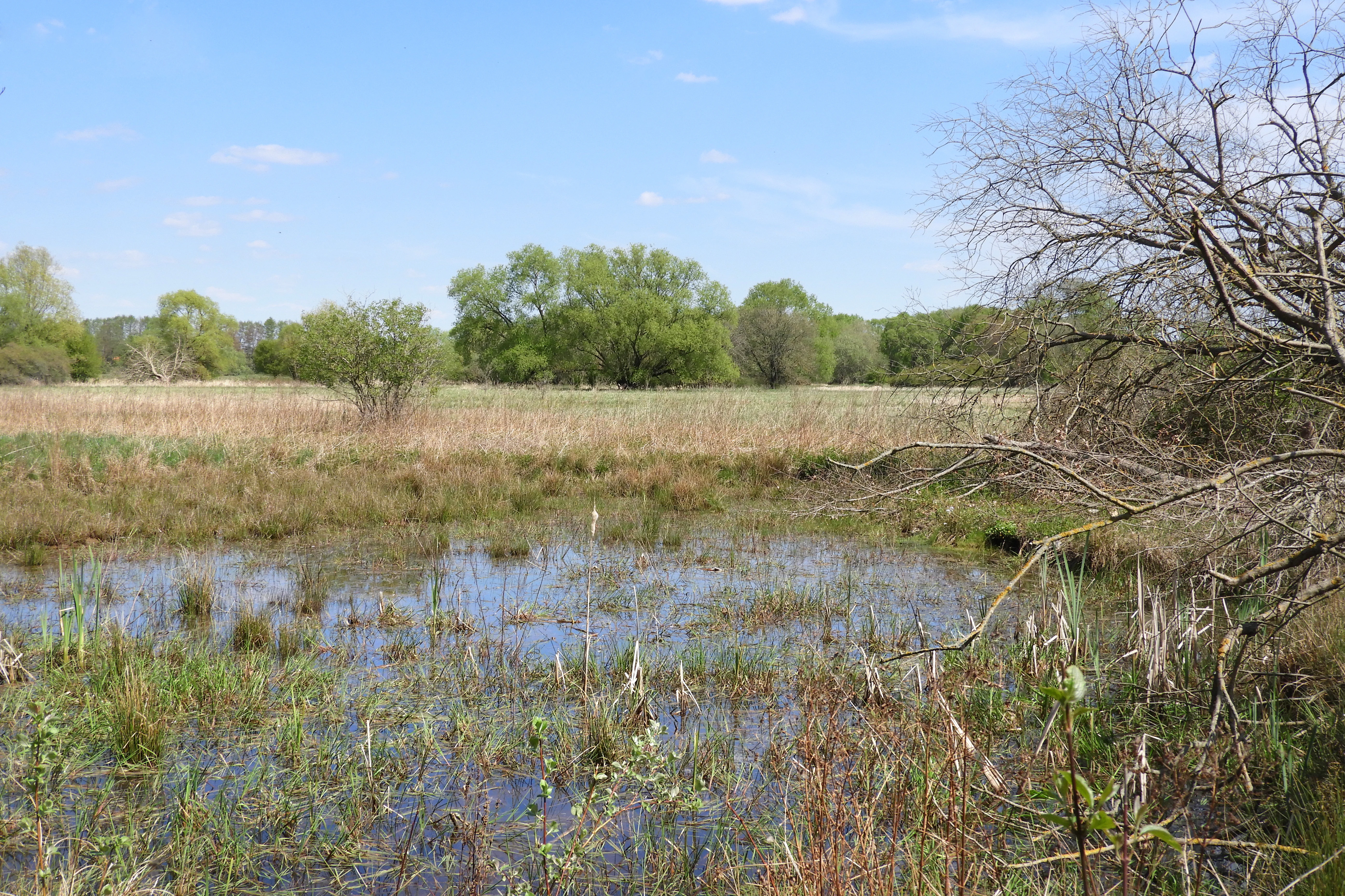
A shallow wetland pool with aquatic vegetation, surrounded by dry meadows and deciduous trees under a clear blue sky.
A wetland habitat at the Obersuhler Aue nature reserve, featuring a shallow pool surrounded by grasses and trees.

Obersuhler Aue history and protected-area timeline

The history of Obersuhler Aue begins long before its formal protection. During the Pleistocene, a large lake filled a subsidence basin created by the dissolving of deep salt deposits beneath the valley. As tectonic shifts deepened the Werra's drainage threshold near Hörschel, the lake gradually emptied and its bed was drained through an expanding network of ditches, converting the wetland into a managed grassland landscape used for hay production and pasture.

Through the 19th and 20th centuries, the meadows remained in traditional use, but intensive agriculture expanded in surrounding areas and the special character of the floodplain declined. When the meadow area lay along the inner-German border during the Cold War division of Germany, the Berkaer Allee section of road that crossed the area was cut off on the Thuringian side; ironically, the border presence appears to have shielded the meadows from large-scale conversion during this period, except for the development of gravel-pit lakes in the southwest, which later added to the area's habitat diversity.

Modern conservation history began in 1986, when the Bezirksdirektion für Forsten und Naturschutz in Kassel temporarily secured the area as a planned landscape protection zone. The temporary protection was extended twice and, in August 1990, just before German reunification, 52.52 hectares were officially declared a nature reserve. In 2002, the protected area was expanded westward to roughly 68 hectares and the protection purpose was broadened to explicitly preserve the cultural grassland landscape and its associated threatened flora and fauna. The same year, the state of Hesse formally proposed the area to the European Commission as a Natura 2000 site, and in 2008 the Habitats Directive boundaries were finalized in Hessian law. Several rounds of ecological baseline surveys followed, which documented rare amphibians, butterflies, and bird species. In 2023, the site was incorporated into the national natural monument "Grünes Band Hessen," reaffirming its role as a key segment of the cross-border ecological corridor along the former East-West German frontier.

Obersuhler Aue landscape and geographic character

Obersuhler Aue sits at the floor of a broad basin within the Werra valley system, at an elevation of roughly 200 to 210 meters above sea level. Geologically, the basin originated from the subsidence of deep salt deposits during the Pleistocene, creating a flat lake bed that later developed into an extensive floodplain meadow landscape surrounded by the gentle ridges of the Oesthessisches Bergland.

Today's visible landscape is an almost entirely open, flat to gently undulating grassland, with no pronounced relief. The central and northeastern parts of the reserve are covered by dry, species-rich oat-grass meadows dotted with flowering herbs. Toward the southwest, the terrain becomes moister, with a mosaic of sedge swards, reedbeds, scrub patches, and artificial standing waters created by former gravel extraction. The abandoned gravel pits have left a series of small ponds with fluctuating water levels and seasonally dry shorelines.

A single landmark breaks the otherwise open horizon: the Berkaer Allee, a roughly 560-meter section of the regional road L 3250a (continuing in Thuringia as L 1022), which crosses the eastern part of the reserve between Berka and Untersuhl. Lined with about eighty mature linden trees, this remaining section of a once more extensive Hessian linden avenue is one of the few such avenues still preserved in Hesse, and is itself a notable landscape feature of the area.
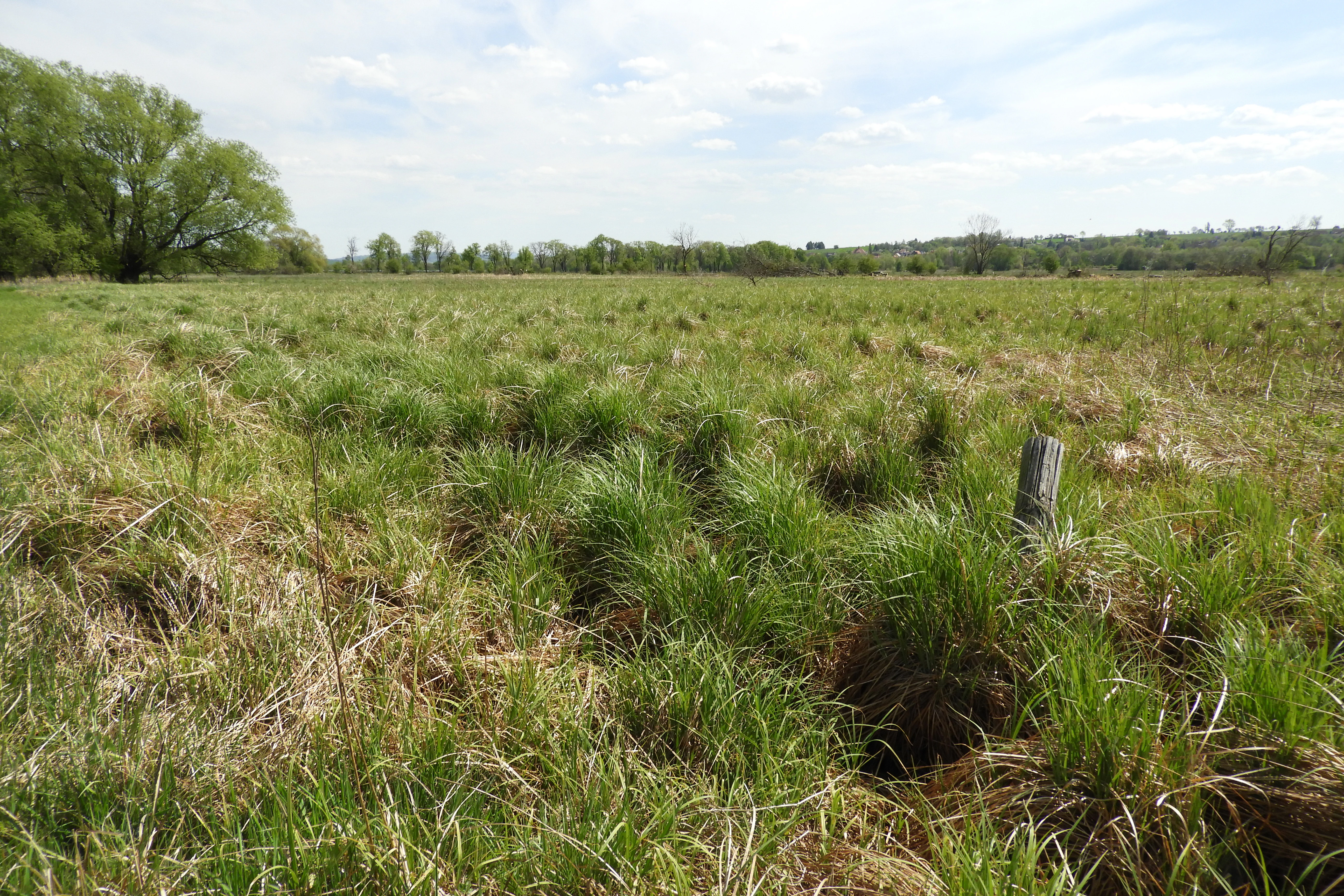
A wide view of a green, grassy field with scattered small clumps of vegetation under a bright sky, with a line of trees visible in the distance.
Open grassland and wetland meadows in the Obersuhler Aue nature reserve.

Obersuhler Aue ecosystems, habitats, and plant life

The ecological identity of Obersuhler Aue is rooted in its large, unfragmented system of species-rich meadows, including both dry oat-grass meadows and moist sedge meadows. Two habitat types listed under the EU Habitats Directive are present: species-poor lowland hay meadows (LRT 6510), covering roughly 25 hectares, and natural nutrient-rich standing waters with water-plantain or frog-bit communities (LRT 3150) formed by former gravel-pit lakes. Together these habitats form a continuous, traditional cultural grassland landscape.

The dry meadows are dominated by tall grasses such as meadow foxtail and Yorkshire fog, with understorey grasses like red fescue and sweet vernal-grass. Flowering plants are unusually diverse and include meadow cornflower, yarrow, meadow vetchling, and meadow bellflower; the great burnet is widespread across nearly all plots and is considered particularly significant because of its importance as a host plant for the endangered dusky large blue butterfly. The wetter areas support sedge swards, reedbeds, and patches of willow scrub.

Traditional land use is essential to maintaining this character. Meadows are cut late, only after the main flowering period of the grasses, and are grazed extensively. This regime has preserved a diverse plant community that has largely disappeared from more intensively managed countryside. The mosaic of moist meadows, reedbeds, dry meadows, and standing waters also creates a structurally rich habitat pattern within a relatively small area.
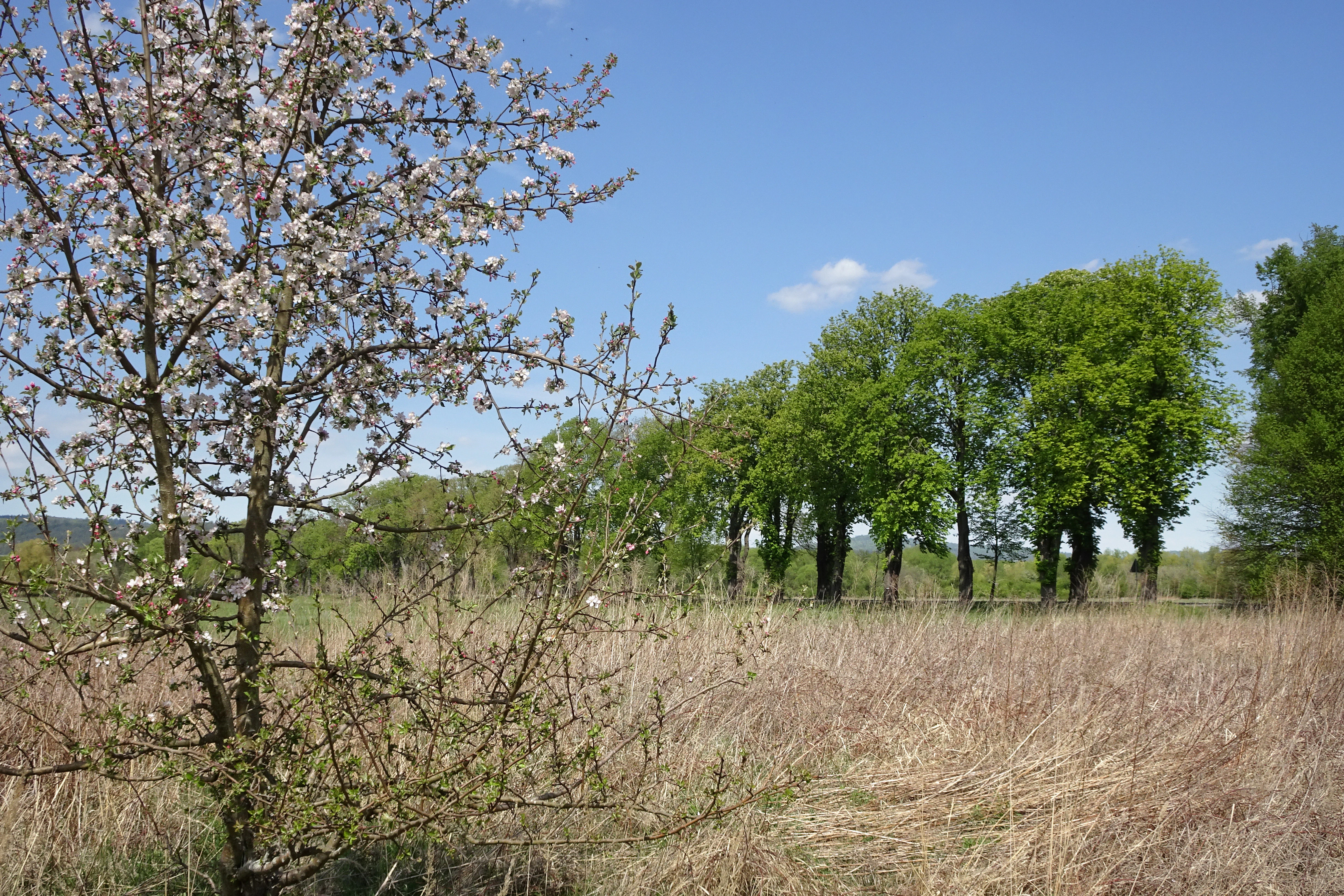
A springtime view of the Obersuhler Aue nature reserve showing a small white-flowering tree in the foreground and a line of green trees against a clear blue sky.
Spring landscape in the Obersuhler Aue nature reserve, featuring flowering trees and wetland vegetation.

Obersuhler Aue wildlife and species highlights

Obersuhler Aue supports a remarkably rich fauna for its size, particularly for meadow-nesting birds, amphibians, and invertebrates. Roughly one hundred bird species have been observed in the area since the late 1960s. Confirmed breeders include kingfisher, grey-headed woodpecker, bluethroat, red-backed shrike, marsh harrier, and spotted crake, all of which are listed under Annex I of the EU Birds Directive for their small populations, narrow ranges, or particular habitat requirements. Migrant and passage species have included bittern, red-throated diver, black-throated diver, and night heron, while white stork and black stork regularly use the meadows for feeding.

The amphibian fauna is of national importance. Nine amphibian species have been recorded, with the yellow-bellied toad and the northern crested newt forming particularly strong populations. Both are strictly protected under Annex II of the EU Habitats Directive, and for both species the Obersuhler Aue represents one of the most significant populations in northern Hesse. Other notable amphibians include natterjack toad and European tree frog, both protected across Europe, alongside common toad, green frogs, smooth newt, and alpine newt.

The invertebrate fauna is similarly rich. About twenty butterfly species have been documented during baseline surveys, with the meadow brown the most abundant in the thousands. The scarce species include clouded yellow, Brown Hairstreak-like taxa, and swallowtail, several of which appear on Hessian Red Lists. The endangered dusky large blue butterfly is recorded along unmown edges and fallow margins, and the area is considered important for its conservation. Among grasshoppers, ten species have been recorded, with the scarce large marsh grasshopper and short-winged conehead restricted to the wetter habitats of the reserve.

Obersuhler Aue conservation status and protection priorities

Obersuhler Aue's conservation importance rests on its exceptional representation of large, unfragmented floodplain meadows in a region where such habitats have otherwise been lost to agricultural intensification. Its designation under IUCN Category IV as a Habitat/Species Management Area reflects the active management approach required to keep these grasslands in a species-rich condition.

The site's layered protection is unusually rich. It is simultaneously a Hessian nature reserve, an EU Fauna-Flora-Habitat site, a component of the EU Birds Directive site "Rhäden von Obersuhl und Auen an der mittleren Werra," and, since 2023, a part of the national natural monument "Grünes Band Hessen." This stacking of designations means that habitat types, species populations, and the larger ecological corridor each receive formal protection at multiple administrative levels.

The conservation focus is on preserving the traditional grassland mosaic that has emerged from centuries of extensive mowing and grazing. Management actions aim to maintain species-poor lowland hay meadows and natural nutrient-rich standing waters, both of which are Habitats Directive priority habitat types. Species-specific protections apply to the yellow-bellied toad, the northern crested newt, and the dusky large blue butterfly, while the broader landscape connectivity is protected by the Green Belt designation, which links the area with neighbouring reserves in Hesse and Thuringia along the former inner-German border.

Obersuhler Aue cultural meaning and human context

The cultural significance of Obersuhler Aue lies in its long history of traditional grassland farming. For centuries, local farmers have shaped the floodplain through late mowing, hay-making, and extensive grazing, creating and maintaining the specific botanical and faunal character that makes the area valuable today. This agricultural heritage continues to define the site, because the conservation strategy depends on retaining the same traditional land-use practices that originally created the meadow mosaic.

The immediate border history of the area also contributes to its present identity. During the division of Germany, the northeastern part of the reserve lay along the inner-German frontier, and the Berkaer Allee section of road was effectively cut into a stump on the Hessian side. This period of de facto limited agricultural expansion indirectly preserved the open meadow character of the area, while at the same time introducing the cultural-historic memory that now underpins the Green Belt designation. The inclusion of the area in both the Hessian and Thuringian portions of the national natural monument "Grünes Band" reflects this layered meaning, foregrounding both ecological and historical memory.

Top sights and standout views in Obersuhler Aue

Obersuhler Aue's strongest features include a 25-hectare expanse of species-poor lowland hay meadows, the largest coherent stand of this priority habitat in the area's floodplain complex, and one of northern Hesse's most significant yellow-bellied toad and northern crested newt populations. The reserve is also distinctive for hosting an unusually high concentration of EU-protected species within a small area.

Equally notable is the Berkaer Allee, a surviving linden avenue with about eighty mature trees that crosses the eastern part of the reserve, representing one of the few remaining historic linden avenues in Hesse. Combined with the area's role as a node in the Green Belt conservation corridor between Hesse and Thuringia, these features give Obersuhler Aue a strong identity that goes beyond its modest size.

Best time to visit Obersuhler Aue

Obersuhler Aue is best experienced between late spring and mid-summer, when the traditional late hay cut has not yet taken place and the meadows are in full flower. Late May through early July is generally the most informative period for observing the characteristic mix of dry and wet meadow plants, the active flight period of meadow butterflies, and the breeding activity of meadow-nesting birds.

Earlier in spring, pond-breeding amphibians such as the yellow-bellied toad and northern crested newt are most visible around the small gravel-pit ponds, though much of the reserve's amphibian interest depends on careful observation from the paths and roads that border the protected grasslands. Autumn and winter, when neighbouring gravel-pit waters attract waterbirds, can also be rewarding for birdwatching, although the meadows themselves are largely cut by then.


Monthly climate preview

Long-term representative point measurements tracking annual temperature and precipitation rhythms across Hesse

Obersuhler Aue Climate Normals and Measured Monthly Temperature Ranges

Historical NASA Power climatology data records mean temperatures spanning from negative figures in winter months to peak averages above thirty degrees Celsius in summer. Reviewing complete monthly climate normals reveals detailed precipitation distributions and thermal variations across the protected coordinate.
Annual mean8 °C
-1 °C18 °C
Jan-1°
Feb
Mar
Apr
May12°
Jun16°
Jul18°
Aug18°
Sep14°
Oct
Nov
Dec
Warmest month
July

18.3 °C

Coolest month
January

-1.1 °C

Wettest month
July

2.6 mm/day

Driest month
April

1.4 mm/day

Park location guide

Geography guide, regional context, and park location map for Obersuhler Aue

Obersuhler Aue park geography, regions, and map view in Germany

Understand where Obersuhler Aue sits in Germany through a broader geographic reading of the surrounding landscape, nearby location context, and its mapped position within the national park landscape.

How Obersuhler Aue fits into Germany

Germany is a federal republic in Western and Central Europe with a population of over 83 million across sixteen constituent states. It is Europe's largest economy by nominal GDP and a major global exporter and importer. The capital is Berlin, and the country borders Denmark, Poland, Czech Republic, Austria, Switzerland, France, Luxembourg, Belgium, and the Netherlands.

Wider geography shaping Obersuhler Aue in Germany

Germany is located in Western and Central Europe, spanning 357,022 km². It borders Denmark to the north, Poland and the Czech Republic to the east, Austria and Switzerland to the south, and France, Luxembourg, Belgium, and the Netherlands to the west. The country has coastlines on the Baltic Sea and North Sea to the north, with the Alps located in the southern region.

Map view of Obersuhler Aue

Use this park location map to pinpoint Obersuhler Aue in Germany, understand its exact geographic position, and read its mapped placement within the surrounding landscape more clearly.

Pigeon | © OpenStreetMap contributors

Location context for Obersuhler Aue

Hesse
Recorded earthquake history

Explore Historical Earthquake Records Associated with Obersuhler Aue

Consult the MoriAtlas catalogue of historical seismic events to view recorded activity in the vicinity of Obersuhler Aue. Access detailed event data to understand the long-term seismic history of this important floodplain meadow reserve.

Obersuhler Aue Earthquake History

Catalogued events

2 events

Strongest magnitude

Magnitude 5.3

Most recent event

Sep 22, 2005

This history includes earthquakes recorded inside the park or within 50 km of its borders

Explore photographic views of open grasslands, wetland habitats, and the historic linden avenue.

Obersuhler Aue Photos and Landscape Scenery: Visualizing the Protected Floodplain Meadows

Visual documentation captures the flat floodplain meadows, open marshlands, and gravel-pit ponds defining the terrain of Obersuhler Aue. Examining these habitat photographs and landscape views reveals the ecological character of this protected lowland valley.

A shallow wetland pool with aquatic vegetation, surrounded by dry meadows and deciduous trees under a clear blue sky.

A sunny scene featuring a small pond and grassy wetland area in the foreground with a large fallen tree trunk and a background of green trees and bushes.

A wide view of a green, grassy field with scattered small clumps of vegetation under a bright sky, with a line of trees visible in the distance.

A springtime view of the Obersuhler Aue nature reserve showing a small white-flowering tree in the foreground and a line of green trees against a clear blue sky.

Park atlas

Compare adjacent floodplain reserves, wet meadows, and regional conservation corridors.

Parks Near Obersuhler Aue and Related Protected Areas in the Surrounding Region

Browse other parks near Obersuhler Aue to examine similar floodplain meadow habitats and regional protected areas. Expanding the comparison across the surrounding Werratal basin provides deeper context on lowland grassland conservation and valley ecosystems.
Nature reserveThuringia
Park boundaries overlap#1 closest

Northeast

Werra-Aue zwischen Breitungen und Creuzburg: Protected Floodplain and River Geography

Nature reserve sanctuary in western Thuringia

Spanning over 33 kilometers of the Werra river, this protected floodplain is defined by its distinctive geological sinkholes, seasonal wetlands, and diverse bird habitats. Discover the layered conservation status and riparian terrain that mark this significant Thuringian nature reserve as a crucial node for European ecological connectivity.

Area
25.78 km²
Established
2007
IUCN
IV
Relief
Lowland
Nature reserveThuringia
Park boundaries overlap#2 closest

Northeast

Werra bis Treffurt mit Zuflüssen: Protected River and Floodplain Network in Thuringia

Mapping an extensive 191 kilometer Natura 2000 river corridor.

The Werra bis Treffurt mit Zuflüssen protected area serves as a vital ecological corridor in Thuringia. This site encompasses a complex mosaic of fast-flowing highland brooks, expansive floodplain meadows, inland salt sites, and rare dissolution lakes. Its geography bridges high-altitude source regions with lower river valleys, creating a distinctive landscape transect that supports essential freshwater habitats and rare aquatic species across the state.

Area
22.6 km²
Established
2008
IUCN
IV
Relief
Mixed relief
Nature reserveWartburgkreis
About 0.5 km away#3 closest

South

Werraaue bei Berka und Untersuhl: Protected Floodplain and Wetland Geography in Wartburgkreis

Mapped riverine habitat and regional conservation area

Located in the heart of the Berka basin, this nature reserve protects a diverse floodplain environment featuring rare inland saline habitats and intricate oxbow lake systems. Serving as a vital ecological stepping stone along the former inner-German border, it represents one of the most important meadow bird corridors within the Wartburgkreis district.

Area
2.558 km²
Established
1996
IUCN
IV
Relief
Lowland
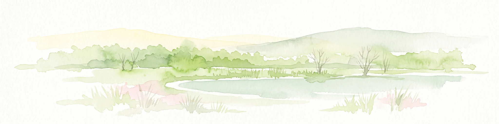
A soft watercolor illustration of a calm pond surrounded by green vegetation and rolling hills in the background.
Nature reserveWartburgkreis
1.3 km away#4 closest

West

Dankmarshäuser Rhäden: Protected Wetland Reserve and Mapped Floodplain in Wartburgkreis

Restored basin landscape along the historic Green Belt corridor.

Dankmarshäuser Rhäden comprises a complex wetland mosaic in the Wartburgkreis district. This nature reserve, characterized by shallow subsidence basins and active floodplain management, represents a critical migratory bird sanctuary and a key component of the protected Green Belt. The area reveals a history of land-use transition, from agricultural depression to a functional, water-managed ecosystem supporting diverse meadow-nesting and migratory bird populations.

Area
1.217 km²
Established
1995
IUCN
IV
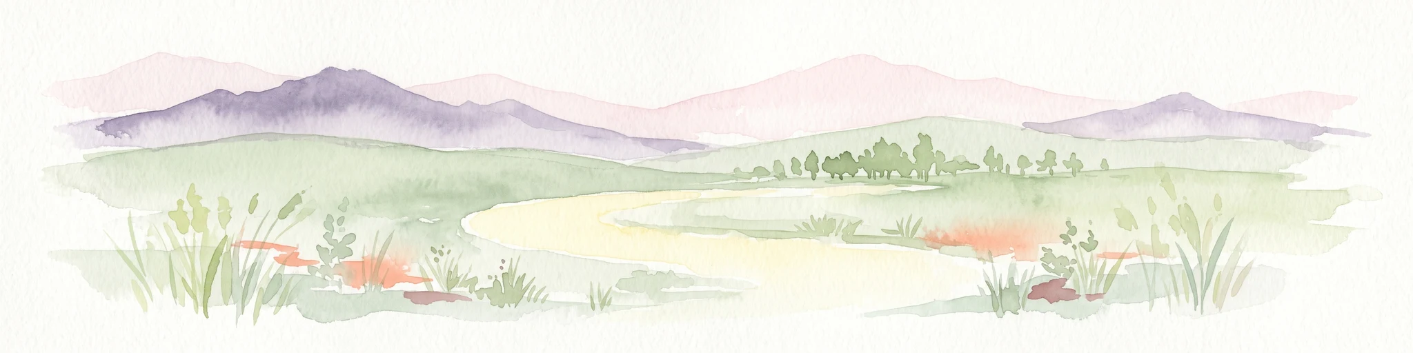
A soft watercolor illustration depicting a flat green wetland landscape with a winding river and distant rolling hills under a pale sky.
Nature reserveHesse
1.9 km away#5 closest

West

Rhäden bei Obersuhl und Bosserode: Nature Reserve and Wetland Mosaic in Northern Hesse

A restored floodplain landscape in the Werra valley

Rhäden bei Obersuhl und Bosserode represents a significant subsidence basin restored from agricultural land into a thriving wetland. This protected nature reserve in Hesse features a structured mosaic of ponds, reedbeds, and wet meadows, serving as a primary regional site for bird migration and habitat conservation within the Werra valley geography.

Area
1.204 km²
Established
1973
IUCN
IV
Relief
Lowland
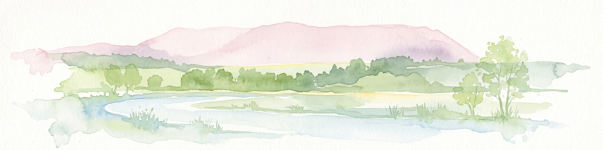
A soft watercolor illustration of a wetland scene with light blue water in the foreground, green trees in the midground, and soft pink hills in the background.
Nature reserveHessen
3.7 km away#6 closest

Southwest

Rohrlache von Heringen Protected Area and Werra Valley Wetland Geography

Nature reserve featuring rare saline meadows and alluvial terrain

Rohrlache von Heringen stands as the largest inland saline site in Hesse. This protected area preserves a rare ecosystem of salt-tolerant flora and vital breeding grounds for waterbirds, shaped by both natural Zechstein geology and long-term industrial influences along the Werra river floodplain.

Area
0.765 km²
Established
1979
IUCN
IV
Relief
Lowland
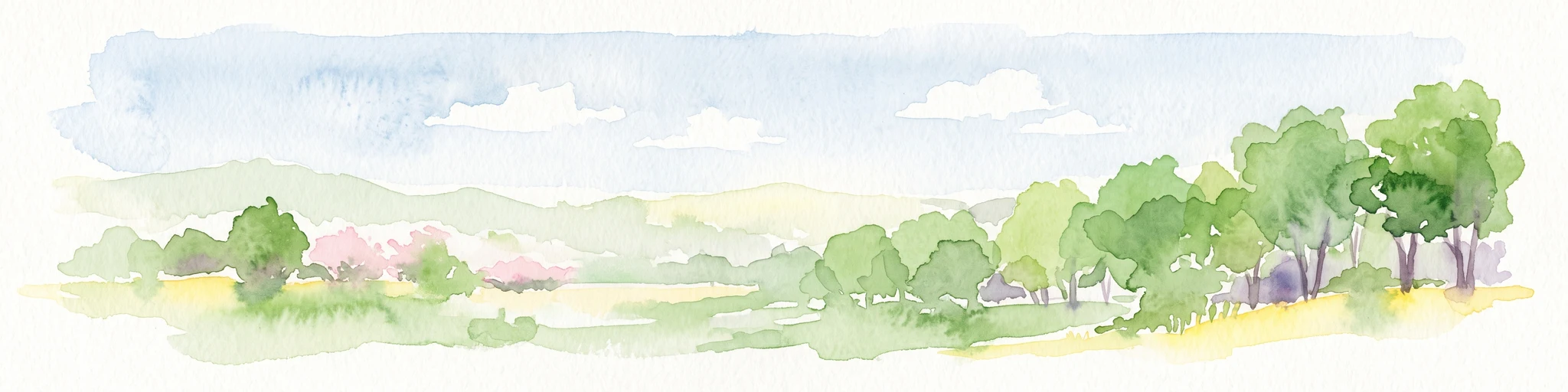
A horizontal watercolor illustration of a gentle, rolling landscape with green trees, meadow grass, and distant hills under a light blue sky.
Nature reserveWartburgkreis
About 4.4 km away#7 closest

Northeast

Alte Werra Nature Reserve: Floodplain Geography and Protected Meadow Landscapes in Wartburgkreis

Essential river valley habitats and Natura 2000 protected areas.

Alte Werra serves as a critical protected landscape in the Wartburgkreis district of Germany. Centered on the Middle Werra valley, this 258 hectare nature reserve protects unique floodplain terrain including oxbow remnants, the Böllerteiche ponds, and diverse wet grassland habitats. The site remains a key reference point for studying riverine geomorphology and protected bird corridors in the Thuringia region.

Area
2.578 km²
Established
1996
IUCN
IV
Relief
Lowland
A horizontal watercolor painting showing a soft landscape with green meadows, trees, a winding stream, and distant rolling hills in a light, atmospheric style.
Nature reserveHessen
About 5.6 km away#8 closest

West

Säulingssee Nature Reserve: Atlas Overview of this Hessen Protected Wetland Basin

Mapped geography and landscape context of a unique German reserve

Säulingssee serves as an important nature reserve within the Werra valley region of Hessen. This former lake basin now acts as a sophisticated wetland complex featuring subrosion-driven pools, reedbeds, and varied meadow habitats. As part of the Natura 2000 network and the Grünes Band Hessen corridor, the area offers a significant case study for conservation grazing and the restoration of endangered aquatic plants within Germany.

Area
0.214 km²
Established
1984
IUCN
IV
Relief
Lowland

Common questions about visiting, size, designation, and location context for Obersuhler Aue

Obersuhler Aue FAQs for park facts, access, geography, and protected area context

Find quick answers about Obersuhler Aue, including protected-area facts, park geography, trail and visitor context, and how the park fits into its surrounding country and regional landscape.
MoriAtlas Explorer

Continue Your Protected Areas Search Across the Global Atlas

Deepen your exploration by continuing the structured search for national parks and protected areas worldwide. Utilize the comprehensive filtering capabilities to compare different conservation landscapes and refine your understanding of global park geography. Discover more about the distribution and characteristics of protected natural areas.

Global natural geography