
Mori Atlas logo
Protected landscapeOdenwald

Understanding the mapped stream valleys, forested ridges, and traditional land-use mosaics of this Odenwald region.

Odenwald Protected Landscape: A Geographic Analysis of the Rhein-Neckar-Kreis Mountain Terrain

(Landschaftsschutzgebiet „Odenwald“)

The Odenwald Landscape Protection Area represents a classic low mountain range in southwestern Germany. Stretching across the Rhein-Neckar-Kreis district, this area is characterized by a complex mosaic of deeply incised stream valleys, wooded ridge crests, and orcharded slopes. Discover the hydrological networks of the Steinach, Laxbach, and Finkenbach systems that shape this protected terrain into one of the most representative cultural landscapes in Baden-Württemberg.

protected landscapelow mountain rangemixed foreststream valleyriparian woodlandorchard meadow
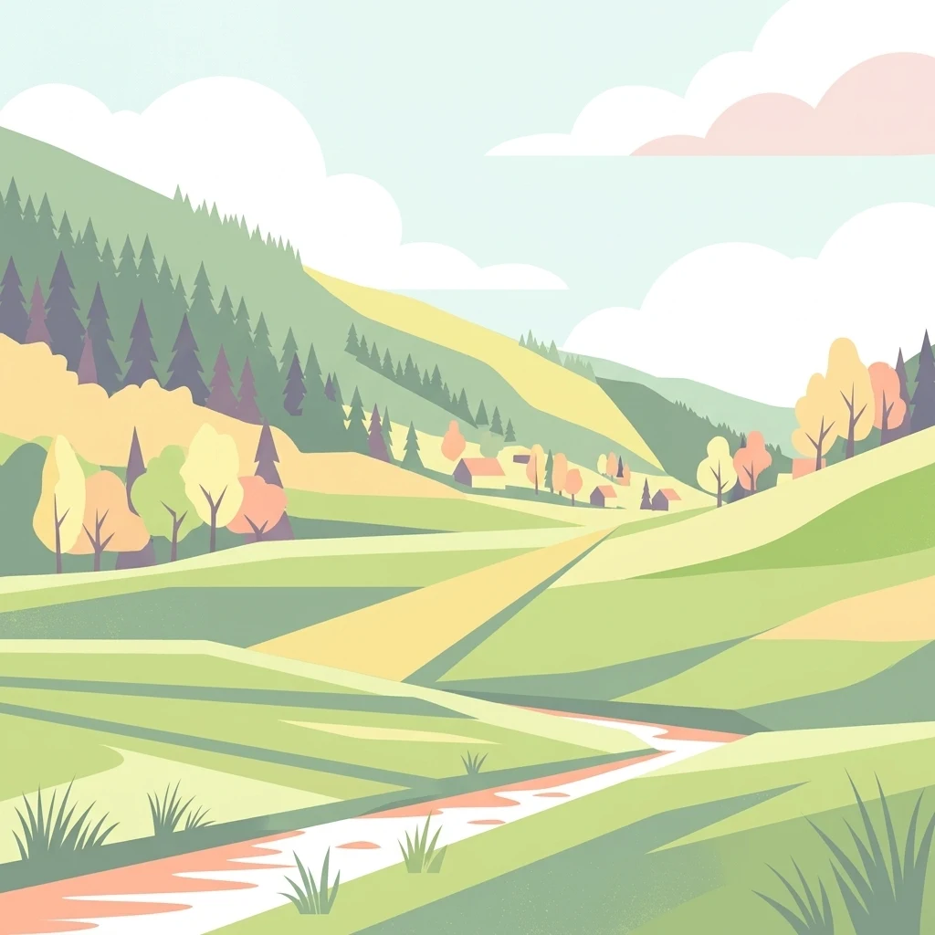
A flat-style vector illustration of a gentle, rolling green valley with a small stream, wooded hillsides, and distant small buildings under a cloudy sky.

Odenwald

Protected landscape

Park overview

Structured park overview, official facts, and landscape profile for Odenwald Landscape Protection Area

Odenwald Landscape Protection Area park facts, protected area profile, and essential visitor context

Review the core facts for Odenwald Landscape Protection Area, including designation, size, terrain, visitor scale, habitats, and operating context in one park-focused overview.

About Odenwald Landscape Protection Area

The Odenwald Landscape Protection Area is one of the most representative protected landscapes in the northern Baden-Württemberg section of the Odenwald. Covering roughly 6,082 hectares, it stretches across six municipalities, with Eberbach, Heddesbach, Heiligkreuzsteinach, Schönau, Weinheim and Wilhelmsfeld each holding portions of the protected area. From its western edge near Neckargemünd, it extends eastward to the state border with Hesse around Abtsteinach, bridging the geological transition between the Buntsandstein-Odenwald to the west and the Kristalliner Odenwald to the east.

Conceptually, the area is not a single dramatic landmark but rather a coherent ensemble of Odenwald topography, hydrology and cultural landscape. The protection ordinance explicitly targets the maintenance of the Odenwald's defining landforms: deeply incised main and side valleys with narrow alluvial plains, valley basins, narrow Klingen, pronounced ridges and hilltops, long, undulating slopes, and a rich variety of small-scale relief features. These small terrain structures, including hollows, rills, cuts, level benches and slope steps, are considered essential to the visual and ecological character of the region.

The area's water systems are a particular focus. Natural springs, streams, flood-prone areas, wet meadows and floodplain forests form an interconnected mosaic that the protection ordinance seeks to maintain in its typical distribution and shape. The ratio between open land and forest, and the deliberate preservation of valley floors and dividing grassland slopes as non-forested zones, emphasise the cultural-landscape dimension of the protection. Old orchard meadows (Streuobstwiesen), hedgerow structures along field paths, dry-stone walls, stone rows and field boulder fields all form part of the recognized cultural elements.

Large, continuous forest tracts along the Eiterbach and Steinach south of Heiligkreuzsteinach and around Brombach dominate the wooded half of the protected area, while the open, agriculturally used valleys, especially around Brombach, Heddesbach, Wilhelmsfeld, Bärsbach, Heiligkreuzsteinach, Vorderheubach, Hinterheubach, in the Schafbach valley and in the Eiterbach valley, provide the classic Odenwald contrast between dark forest and bright, farmed valley landscape.

Quick facts and research context for Odenwald Landscape Protection Area

The Odenwald Landscape Protection Area is a category V (Protected Landscape/Seascape) site under the IUCN classification system, situated in the Rhein-Neckar-Kreis in northern Baden-Württemberg. It lies across the natural sub-regions of the Buntsandstein-Odenwald and the Kristalliner Odenwald, both part of the major natural unit Odenwald, Spessart and Südrhön.

Established on 26 November 1996 by ordinance of the Landratsamt Rhein-Neckar-Kreis, the protected area replaces earlier protective designations from 1958 and 1965. Its official German designation number is 2.26.041, and the site is recorded in the World Database on Protected Areas under WDPA-ID 323444. Management responsibility rests with the Landratsamt Rhein-Neckar-Kreis.

Protection and recognition

Analysis of documented management scope and official conservation frameworks

Odenwald Protection Status and Protected Area Designation Details

Evaluations of Odenwald protection status compile official records regarding regional designation and management frameworks. Structured data outlines verified conservation metrics and administrative classifications for the protected area.

Protection details

WDPA ID
323444
Park context

Deeper park guide and search-rich context for Odenwald Landscape Protection Area

Odenwald Landscape Protection Area history, landscape, wildlife, and travel context

Explore Odenwald Landscape Protection Area through its history, landscape character, ecosystems, wildlife, conservation priorities, cultural context, and seasonal travel timing in a structured park guide built for atlas discovery and search intent.

Why Odenwald Landscape Protection Area stands out

The protected area is best known for safeguarding the classical Odenwald landscape: deeply cut stream valleys with narrow floodplains, so-called Klingen (narrow valley notches), prominent ridge crests, rounded hilltops and structurally diverse small-scale terrain features such as hollows, rills, ledges and small terraces. It is equally recognised for its carefully balanced mosaic of forest, meadow, orchard and field, maintained through traditional patterns of land use. The protected valley systems, especially the Steinach, Laxbach, Brombach, Finkenbach, Eiterbach, Hilsbach and Schafbach valleys, are central to the area's identity, combining wet meadows, near-natural riparian woodland, orcharded slopes and the surrounding forested hills into one of the most representative Odenwald landscapes in this part of Baden-Württemberg.
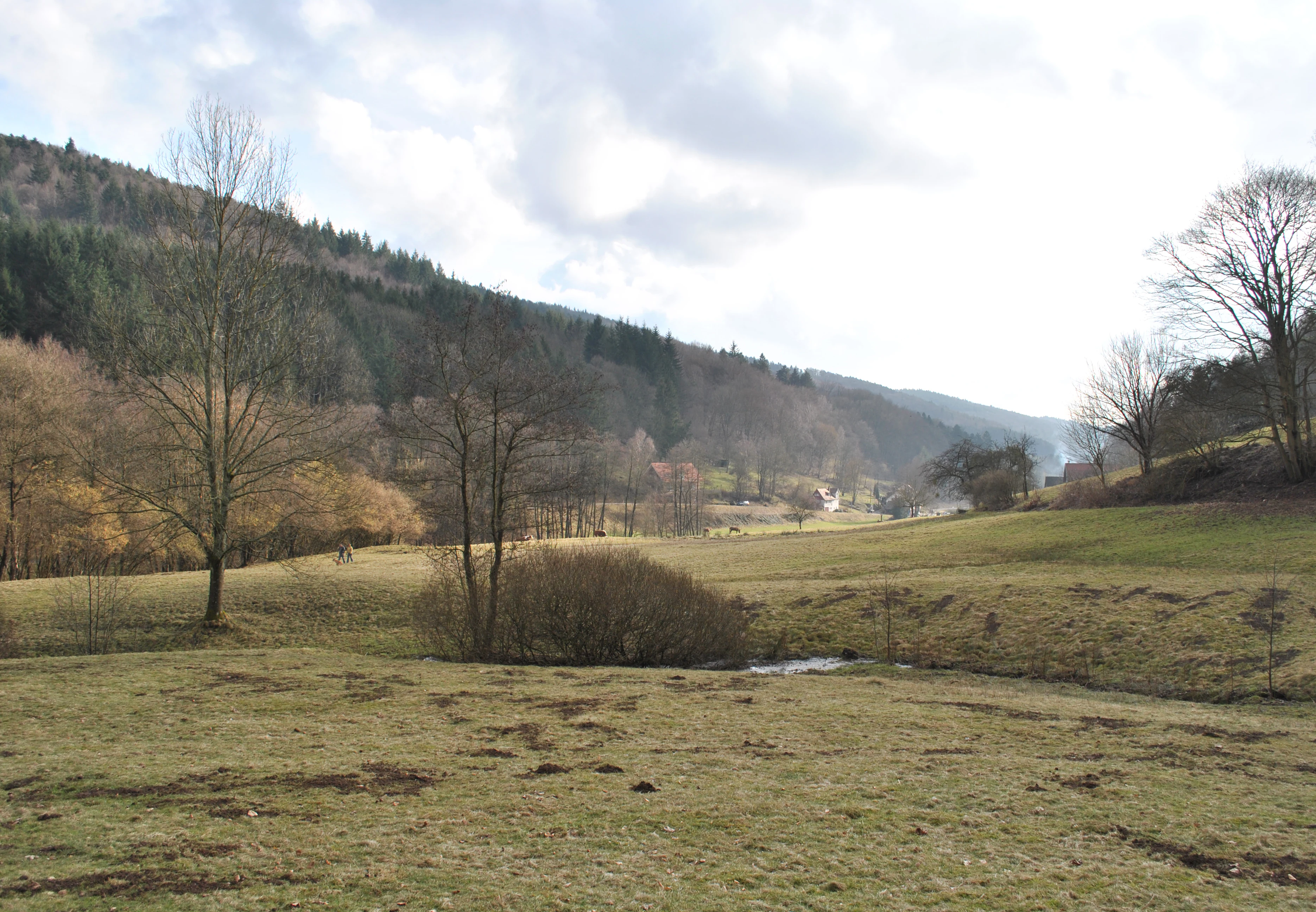
A wide, slightly hazy view of a valley with grassy meadows in the foreground, sparse trees, and a forested hillside rising in the background.
A view of the northern end of Eiterbach Valley within the Odenwald landscape.

Odenwald Landscape Protection Area history and protected-area timeline

The current Odenwald Landscape Protection Area was established on 26 November 1996 by ordinance of the Landratsamt Rhein-Neckar-Kreis. Its creation brought a single, unified protective framework to a landscape that had previously been covered by different, older ordinances.

With the 1996 ordinance, the 1965 Verordnung des Regierungspräsidiums Nordbaden über das Landschaftsschutzgebiet „Odenwald I, Landkreis Heidelberg und Centwald, Gemarkung Lützelsachsen Landkreis Mannheim“ (from 8 April 1965) and the 1958 „Verordnung zum Schutz des Landschaftsteiles Schafbachtal Gemarkung Schönau im Landkreis Heidelberg“ (from 8 May 1958) ceased to be in force. The 1996 regulation thus replaced these earlier, more fragmented protections with a comprehensive landscape-scale designation covering about 6,082 hectares.

In the German protected-area hierarchy, the landscape protection area (Landschaftsschutzgebiet) sits below nature reserves and focuses on preserving broader cultural landscape character rather than narrowly defined ecological features. Management responsibility lies with the Landratsamt Rhein-Neckar-Kreis, which also oversees enforcement and the ongoing coordination of land use with the protection objectives.

Odenwald Landscape Protection Area landscape and geographic character

The landscape of the protected area is a textbook example of Odenwald relief. Wide, forested ridges and gently rounded summits alternate with deeply cut valleys and narrow V-shaped Klingen, creating a finely textured terrain that strongly defines both views and land use.

The most visually defining features are the long, sinuous ridge crests and the steep, curved slopes that descend into the valley floors. These slopes frequently show a layered structure, with grassland or orcharded upper sections giving way to forested lower slopes and finally to the valley bottom. The protected area's terrain also includes a rich variety of small-scale relief structures: hollows, drainage rills, micro-valleys, flat terraces, and slope steps that contribute to ecological diversity and visual complexity.

Hydrologically, the landscape is shaped by a network of small streams in the Steinach, Laxbach, Brombach and Finkenbach systems. Their headwaters, side valleys (Eiterbachtal, Hilsbachtal, Schafbachtal) and narrow alluvial plains cut sharply into the surrounding hills. These valleys, with their lush meadows and gallery-like riparian woodlands, contrast strongly with the darker forest-covered ridges above and form the most iconic visual signatures of the protected landscape.

Odenwald Landscape Protection Area ecosystems, habitats, and plant life

Ecologically, the protected area represents the typical habitat mosaic of the Odenwald: a tightly interwoven network of forest, valley meadow, orchard, hedgerow, stream and farmland. The forest cover on the upper slopes and ridges consists largely of mixed deciduous woodland characteristic of both the Buntsandstein-Odenwald and the Kristalliner Odenwald, with relatively continuous wooded tracts dominating especially along the Eiterbach and Steinach south of Heiligkreuzsteinach and around Brombach.

The valley floors form the ecological counterpoint. Here, the natural water system, including springs, brooks, flood-prone areas and wet meadows, is intended to be preserved in its typical distribution and form. Near-natural riparian galleries along the Steinach, Laxbach, Brombach, Finkenbach and their tributaries, especially the Eiterbach, Hilsbach and Schafbach, link the forested slopes to the open valley meadows and provide important linear habitats through the landscape.

The cultural-landscape habitats add further diversity. Old orchard meadows, hedgerows along field paths and roads, stone rows, dry-stone walls, boulder fields and stepped forest edges with native deciduous shrubs create a small-scale, structurally rich habitat network. These elements are essential for many species of the cultural landscape, particularly in the wet meadows and on the seepage-moist slopes that the protection ordinance explicitly mentions as sensitive zones.

Odenwald Landscape Protection Area wildlife and species highlights

The Odenwald Landscape Protection Area supports the wildlife communities typical of central German low mountain landscapes. The combination of extensive mixed forest, undisturbed stream valleys, wet meadows and structurally rich cultural-landscape habitats provides niches for a wide range of mammal, bird, insect and amphibian species associated with both woodland and open countryside.

The protection ordinance specifically refers to the need to avoid significant disturbance to habitats and communities of native flora and fauna, particularly in the wet valley meadows and on seepage-moist slopes, and to maintain typical species assemblages there. The riparian galleries along the Steinach, Laxbach, Brombach and Finkenbach systems, together with their side valleys, are highlighted as important structural elements for wildlife movement and as habitat corridors through the broader forest.

Orchard meadows, hedgerows, dry-stone walls and field boulder fields, characteristic of the Odenwald cultural landscape, provide additional habitat for invertebrates, reptiles, small mammals and bird species dependent on traditional land use. The deliberate maintenance of open valley floors and structurally diverse forest margins supports species that depend on the transitions between forest and open land.

Odenwald Landscape Protection Area conservation status and protection priorities

From a conservation perspective, the protected area's significance lies in its function as a bridging and buffering landscape within the Odenwald. As a category V (Protected Landscape/Seascape) site under the IUCN classification, its purpose is not the strict preservation of narrowly defined habitats, but the long-term maintenance of a large, coherent cultural-natural landscape in its characteristic form.

The protection ordinance focuses on three interconnected aims: preserving the typical Odenwald landforms and their small-scale relief features; maintaining the natural water system, including springs, streams, flood-prone areas, wet meadows and gallery woodlands, in their natural distribution and shape; and conserving the historically evolved balance of forest, field and meadow, with particular emphasis on keeping valley floors and dividing grassland slopes open.

A further conservation goal is the safeguarding of traditionally grown landscape elements, such as orchard meadows, hedgerows, stone rows, dry-stone walls and boulder fields, as well as the gradual regeneration of land use in ecologically oriented directions. The ordinance explicitly calls for avoiding significant disturbance to habitats and species communities, particularly in moist valley meadows and on seepage slopes, and for maintaining the regenerative capacity of the natural balance within the protected area.

Odenwald Landscape Protection Area cultural meaning and human context

The Odenwald has long been one of Germany's classic cultural landscapes, shaped over centuries by small-scale agriculture, orcharding, grazing and forestry. In the protected area, this long human-landscape relationship is reflected in the survival of traditional land use patterns that are increasingly rare elsewhere: orcharded meadows on south-facing slopes, dry-stone walls and stone rows marking old field boundaries, and the persistent small-scale pattern of forest patches interspersed with managed grassland in the upper valley reaches.

The traditional division of the landscape into forest on the ridges and slopes, grassland in the valley bottoms and orchards on the sunny flanks is still clearly legible in the field. Villages such as Heddesbach, Heiligkreuzsteinach, Schönau, Wilhelmsfeld, Brombach, Bärsbach, Vorderheubach and Hinterheubach are embedded in this pattern, with their surrounding meadows, orchards and field paths forming part of the protected landscape's character. The 1958 and 1965 ordinances that preceded the current protection designation show that this landscape was already recognized as worth protecting decades before the unified 1996 designation.

Top sights and standout views in Odenwald Landscape Protection Area

The landscape protection area's standout feature is the highly characteristic Odenwald mosaic of deeply cut valleys, wooded ridges, orcharded slopes and small, structurally rich valley meadows, all preserved in a single coherent protected area of about 6,082 hectares.

The complete stream systems of the Steinach, Laxbach, Brombach and Finkenbach, with their side valleys (notably the Eiterbachtal, Hilsbachtal and Schafbachtal), form a remarkably intact network of flowing water, wet meadows and near-natural riparian forest. Together with the large, closed forest tracts along the Eiterbach and Steinach south of Heiligkreuzsteinach and the village-anchored grassland landscapes around Heddesbach, Wilhelmsfeld, Brombach and Heiligkreuzsteinach, they make this protected area a particularly representative expression of the Odenwald cultural-natural landscape in northern Baden-Württemberg.


Monthly climate preview

Track multi-year meteorological averages and monthly weather patterns across the landscape.

Odenwald Climate Normals, Long-Term Temperature and Precipitation Rhythm

Representative coordinates record measured monthly temperature swings and precipitation rates spanning a multi-year climatology period from 1991 to 2020. Examining the complete twelve-month profile reveals detailed annual cycles and supports deeper climatic comparison for the protected area.
Annual mean10 °C
0 °C20 °C
Jan
Feb
Mar
Apr
May14°
Jun18°
Jul20°
Aug20°
Sep15°
Oct10°
Nov
Dec
Warmest month
July

20.3 °C

Coolest month
January

0.1 °C

Wettest month
July

2.4 mm/day

Driest month
April

1.5 mm/day

Park location guide

Geography guide, regional context, and park location map for Odenwald Landscape Protection Area

Odenwald Landscape Protection Area park geography, regions, and map view in Germany

Understand where Odenwald Landscape Protection Area sits in Germany through a broader geographic reading of the surrounding landscape, nearby location context, and its mapped position within the national park landscape.

How Odenwald Landscape Protection Area fits into Germany

Germany is a federal republic in Western and Central Europe with a population of over 83 million across sixteen constituent states. It is Europe's largest economy by nominal GDP and a major global exporter and importer. The capital is Berlin, and the country borders Denmark, Poland, Czech Republic, Austria, Switzerland, France, Luxembourg, Belgium, and the Netherlands.

Wider geography shaping Odenwald Landscape Protection Area in Germany

Germany is located in Western and Central Europe, spanning 357,022 km². It borders Denmark to the north, Poland and the Czech Republic to the east, Austria and Switzerland to the south, and France, Luxembourg, Belgium, and the Netherlands to the west. The country has coastlines on the Baltic Sea and North Sea to the north, with the Alps located in the southern region.

Map view of Odenwald Landscape Protection Area

Use this park location map to pinpoint Odenwald Landscape Protection Area in Germany, understand its exact geographic position, and read its mapped placement within the surrounding landscape more clearly.

Pigeon | © OpenStreetMap contributors

Location context for Odenwald Landscape Protection Area

Baden-WürttembergRhein-Neckar-Kreis

Explore photographic documentation of deeply incised valleys, wooded ridges, and traditional orchard mosaics

Visualizing Odenwald Scenery, Protected Landscapes, and Mountain Terrain Photography

Visual records reveal the complex topography, winding stream valleys, and forested ridge crests defining the Odenwald protected area. Detailed photographic documentation helps visitors examine the interplay of natural water systems, riparian woodlands, and traditional cultural landscapes.

A wide, slightly hazy view of a valley with grassy meadows in the foreground, sparse trees, and a forested hillside rising in the background.

Park atlas

Compare adjacent low mountain ranges, wooded ridges, and river valley reserves.

Explore Parks Near Odenwald and Surrounding Regional Protected Landscapes

Browse nearby national parks and protected areas sharing the same forested terrain features and stream valley networks. Comparing adjacent regional geography reveals broader patterns in upland conservation landscapes and protected reserves.
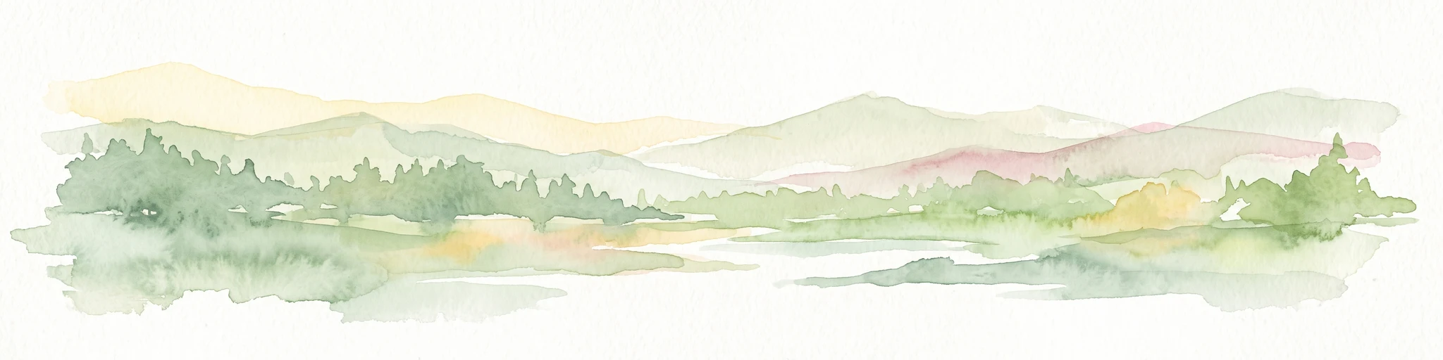
A watercolor painting depicting a soft-focus, light-colored landscape of rolling green hills, clustered trees, and a gentle stream valley.
Nature reserveHessen
About 6.3 km away#1 closest

North

Eiterbachtal von Wald-Michelbach Nature Reserve in the Central Odenwald Uplands

A protected stream-valley landscape in the Bergstraße district of Hessen

Eiterbachtal von Wald-Michelbach protects a near-natural stream environment characterized by its meandering course, alder-ash gallery forests, and diverse tall-herb meadow communities. This nature reserve provides essential habitat in the southern Odenwald, showcasing the interplay between hydrological stream processes and sandstone forest edges within the Hessen region.

Area
0.473 km²
Established
1983
IUCN
IV
Relief
Upland
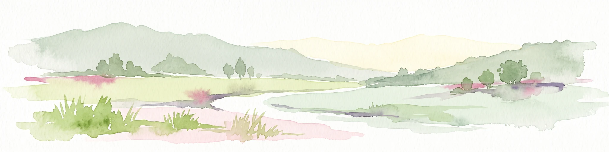
A soft, horizontal watercolor painting depicting a meandering stream flowing through green meadows and rolling hills under a pale sky.
Nature reserveHesse
About 8.2 km away#2 closest

Northeast

Finkenbachtal bei Finkenbach Nature Reserve: Mapped Brook Valleys of the Odenwald

Protected stream corridor and floodplain meadows in southern Hesse

Finkenbachtal bei Finkenbach preserves a compact, ecologically intact valley system characterized by meandering sandstone brook morphology and traditional floodplain meadow management. This protected area serves as a significant link in the regional Odenwald stream network, illustrating the intersection of low mountain forest and valley floor vegetation dynamics.

Area
0.276 km²
Established
1981
Relief
Upland
Climate
Temperate
Nature reserveHesse
About 9.3 km away#3 closest

North

In der Striet bei Vöckelsbach Nature Reserve: Regional Geography and Mapped Protected Landscapes

A compact forest and wetland mosaic in the Odenwald of southern Hesse

The nature reserve In der Striet bei Vöckelsbach is an essential protected area covering four and a half hectares of valley floor. It provides a dense habitat gradient from reeded spring zones through alder forests to mixed deciduous slopes. This record details the park landscape, stream systems, and its integration into the larger Geo Naturpark Bergstraße Odenwald and Natura 2000 protected areas.

Area
0.048 km²
Established
1988
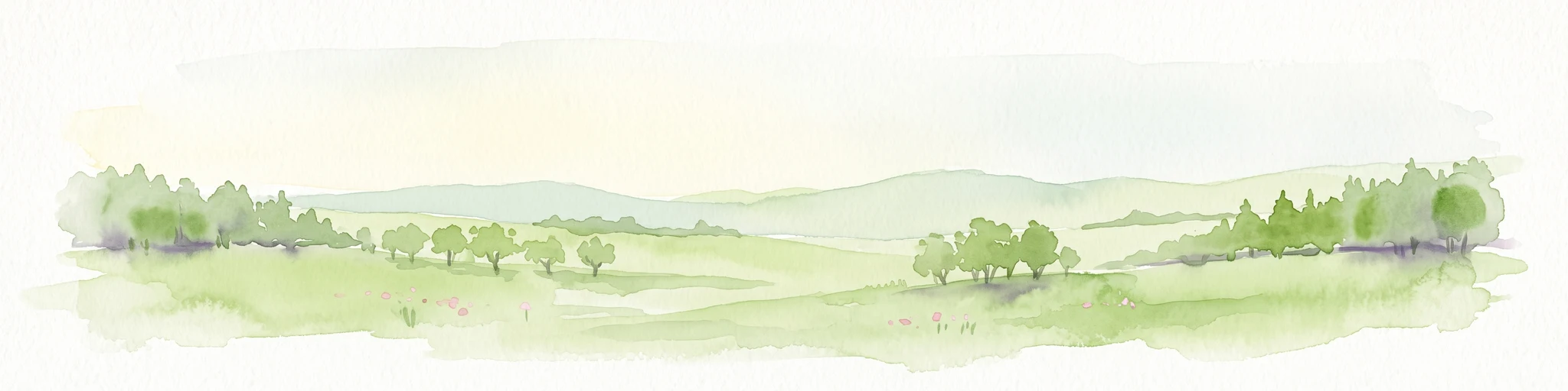
Watercolor painting of soft, rolling green hills and meadows in a minimalist style, set against a light background.
Nature reserveHessen
About 11 km away#4 closest

Northeast

Dürr-Ellenbachtal von Wald-Michelbach: Odenwald Nature Reserve and Protected Valley Geography

A historic meadow valley in Hessen, Germany

The Dürr-Ellenbachtal von Wald-Michelbach nature reserve protects an elongated, narrow valley framed by forested ridges in the central Odenwald. This area is defined by its meandering brook, diverse alder stands, and species-rich meadows that sustain significant local biodiversity. As a key Natura 2000 site, it serves as an essential example of protected meadow landscapes and rural mountain terrain within the Bergstraße district.

Area
0.542 km²
Established
1990
IUCN
IV
Relief
Mountain
Watercolor painting of a gentle, rolling green landscape with sparse trees and distant hills on a white background.
Nature reserveHesse
About 14 km away#5 closest

Northeast

Jakobsgrund bei Gammelsbach Nature Reserve: Geographic Atlas and Park Boundary Mapping

Protected sandstone valley landscapes in southern Hesse

This nature reserve in the Odenwald hills provides a concentrated example of traditional valley land use. The area features a sharp contrast between dry south-facing slopes and damp, stream-carved lowlands, creating a botanical hotspot within the regional geography of Hesse, Germany.

Area
0.095 km²
Established
1996
IUCN
IV
Relief
Upland
A wide watercolor illustration showing a river curving through a grassy valley with trees and hills in the background.
Nature reserveHessen
About 15 km away#6 closest

North

In der Erbach bei Mörlenbach Nature Reserve: Protected Odenwald Stream Valley

Regional geography and habitat mapping in southern Hessen

The In der Erbach bei Mörlenbach nature reserve preserves a well-defined side-valley ecosystem within the broader Odenwald landscape. Its protected boundaries encompass a moisture-rich corridor featuring wet meadows, reedbeds, and forest edges that exemplify the traditional cultural geography of the Weschnitz river basin in southern Germany.

Area
0.197 km²
Established
1997
IUCN
IV
Relief
Upland
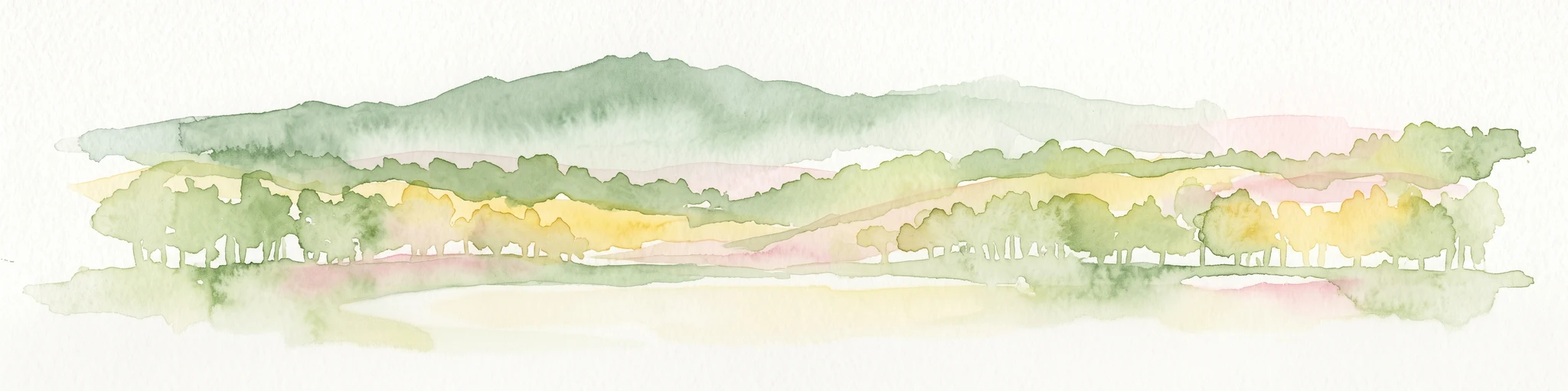
A wide watercolor painting showing rolling green hills and trees with pale pink and yellow hues across a valley landscape.
Nature reserveHessen
About 16 km away#7 closest

North

Rotes Wasser von Olfen Nature Reserve: Protected Wetland and Odenwald Geography

A unique bog and iron-rich stream landscape in Hessen, Germany.

Rotes Wasser von Olfen preserves a rare, small-scale mosaic of transitional bog and wet meadow vegetation within the Odenwald range. This protected site features reddish, iron-rich seepage waters and provides essential habitat for specialized flora and dragonfly populations amidst a surrounding forested mountain landscape.

Area
0.121 km²
Established
1980
IUCN
IV
Relief
Upland
A soft watercolor illustration depicting a marshy wetland with rolling hills, trees, and tall grasses in a muted, pastel color palette.
Nature reserveHessen
About 17 km away#8 closest

Northwest

Neuzenlache von Viernheim Nature Reserve: Geographic Overview and Protected Landscape Mapping

A rare remnant of an ancient Neckar river arm in Hessen

Neuzenlache von Viernheim offers a focused look at small-scale conservation within the Upper Rhine Plain. This nature reserve provides valuable insight into the transformation of historical river landscapes, featuring a complex of reedbeds and exotic bald cypress trees that mark its unique cultural and natural heritage.

Area
0.091 km²
Established
1990
IUCN
IV
Relief
Lowland

Common questions about visiting, size, designation, and location context for Odenwald Landscape Protection Area

Odenwald Landscape Protection Area FAQs for park facts, access, geography, and protected area context

Find quick answers about Odenwald Landscape Protection Area, including protected-area facts, park geography, trail and visitor context, and how the park fits into its surrounding country and regional landscape.
MoriAtlas Explorer

Continue Your Protected Areas Search Across the Global Atlas

Deepen your exploration by continuing the structured search for national parks and protected areas worldwide. Utilize the comprehensive filtering capabilities to compare different conservation landscapes and refine your understanding of global park geography. Discover more about the distribution and characteristics of protected natural areas.

Global natural geography