
Examining the hydrological influence of surface-emerging groundwater within karst limestone terrain
Named Springs and Natural Groundwater Outlets Located Throughout Ojców National Park, Poland
Natural springs serve as critical points where groundwater emerges from the Jurassic limestone aquifers of the Kraków-Częstochowa Upland to shape the hydrology of Ojców National Park. These features represent the intersection of fractured rock layers and surface topography, feeding local river networks and wetlands. Examining these specific outlets provides insight into the complex subsurface drainage and erosion processes that have carved the deep valleys and iconic karst formations across the park region.
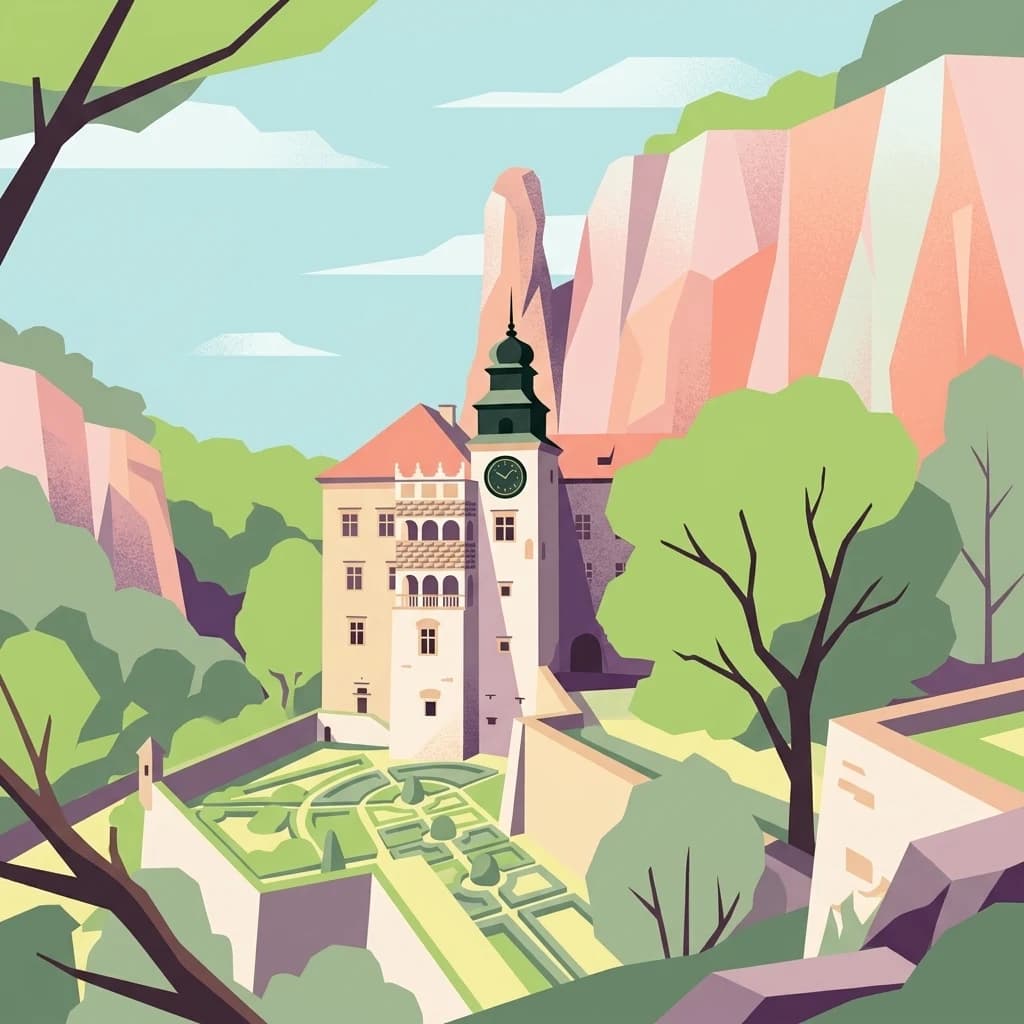
Find Spring records throughout Ojców National Park
Spring geography across the karst valleys of Ojców National Park
Spring records in Ojców National Park identify mapped groundwater outlets in Jurassic limestone terrain cut by the Prądnik and Sąspówka valleys, gorges, caves, and fissured rock. Explore source points apart from streams and river channels, without guaranteeing discharge, potability, access, or current water conditions at every spring.
No natural features found
Explore the Regional Geography and Karst Landscapes Surrounding Ojców National Park
Discover Nearby National Parks and Protected Areas Beyond Ojców National Park
Spring Features and Natural Groundwater Outlets in Tatra National Park, Poland
Investigate the natural springs found throughout the glacial valleys and high mountain zones of Tatra National Park. This resource details specific groundwater emergence points, highlighting how these outlets sustain the broader hydrologic network of Poland’s premier alpine protected area.
Spring Features and Groundwater Outlets in the Karst Terrain of Bükk National Park
An atlas of identified spring sites within the Bükk National Park mountain region. Explore how these diverse groundwater outlets interact with the limestone plateau and karst topography to shape the hydrologic character of the Northern Central Mountains.
Spring Features and Natural Groundwater Outlets of Dzūkija National Park
The collection highlights named spring locations identified within Dzūkija National Park. These features illustrate how groundwater intersects with the regional sandy plains and glacial morphology, providing crucial context for the park's diverse hydrologic systems and forest-dominated terrain.
Spring Features and Groundwater Outlets in Yellowstone National Park
An atlas-focused overview of named springs found throughout Yellowstone National Park. These records document the natural settings where groundwater intersects the surface, providing essential context for the hydrological landscape and the connection to local stream and wetland environments.
Spring Features and Natural Water Outlets in Babia Góra National Park
Discover a selection of named springs situated within the protected limits of Babia Góra National Park. This reference gathers data on water outlets that originate from the park's distinct flysch geology, highlighting their role in the natural drainage system of the Babia Góra massif.
Springs and Natural Groundwater Outlets Located Within Calanques National Park
Analyze the distribution and geological context of springs within Calanques National Park. These features demonstrate how groundwater escapes the massif's limestone matrix, providing essential data for understanding the park's internal water movement, aquifer behavior, and connections to the Mediterranean coastline.
Spring Outlets and Hydrological Features in Danube-Ipoly National Park
Examine the distribution of natural springs within the mountainous regions of Danube-Ipoly National Park. This geographic overview highlights where groundwater reaches the surface across diverse geological formations, shaping the park's characteristic river ecosystems and forest habitats.
Spring Sites and Groundwater Hydrology Mapping in Jasper National Park
Investigate identified spring locations and groundwater emergence points within the boundaries of Jasper National Park. These features provide essential insight into the alpine hydrology and porous karst landscapes of the Canadian Rockies, mapping where internal water tables intersect with the surface to feed rivers and mountain basins throughout the protected area.
Explore Ojców National Park beyond its Spring geography
Beyond Spring outlets: other natural features in Ojców National Park
Geographic atlas of protected limestone surface voids.
Cave entrances
Discover the network of mapped cave entrance sites distributed across the limestone plateaus and river gorges of Ojców National Park. This reference provides geographic context for identifying surface-to-subsurface transition points shaped by historic dissolution and weathering in the Jurassic bedrock.
Mapped limestone landmarks and karst geography
Rock formations
Discover the catalog of named rock formations within Ojców National Park. From solitary towers to complex limestone outcrops, explore how these individual geographic entities define the erosion-carved terrain of the Kraków-Częstochowa Upland and characterize the park's distinctive karst profile.
Analysis of channels within the karst terrain
Streams
Navigate the network of streams found throughout Ojców National Park in Poland. This resource offers a structured look at the flowing watercourses that cut through deep limestone gorges, providing essential context for the park's unique karst topography and hydrological landscape.
Mapped exposures in the Kraków-Częstochowa Upland
Cliffs
This index provides a structured examination of the limestone cliff faces found throughout Ojców National Park. Analyze how these vertical geological features intersect the Prądnik and Sąspówka river valleys and the surrounding upland plateaus, offering a comprehensive view of the park's characteristic karst terrain.
Mapping summit points across the Jurassic karst landscape.
Peaks
Explore the named summits and high points that define the rugged terrain of Ojców National Park. These features provide a structured look at the geomorphology of the limestone plateau, river gorges, and the surrounding upland surface, allowing for a better understanding of the park's unique physical characteristics.
Explore the Named Natural Features and Karst Geography of Ojców National Park
Deepen your understanding of Ojców National Park by browsing the full index of its geological landmarks. MoriAtlas provides a spatial look at the specific cliffs, gorges, and subterranean environments that constitute this distinct karst landscape in Poland.