

Streams
Park geography
A comprehensive look at the upland geography, karst formations, and physical layout.
Ojcowski Park Narodowy: Detailed Geographic Profile, Mapped Boundaries, and Terrain Analysis
The geographic profile for Ojcowski Park Narodowy encompasses a 21.46 km² protected area situated within the Lesser Poland Voivodeship. This structured analysis details the upland terrain, temperate forest habitats, and karst landscape features, including valleys, riverine systems, and cave networks, to provide a clear understanding of the park physical geography.
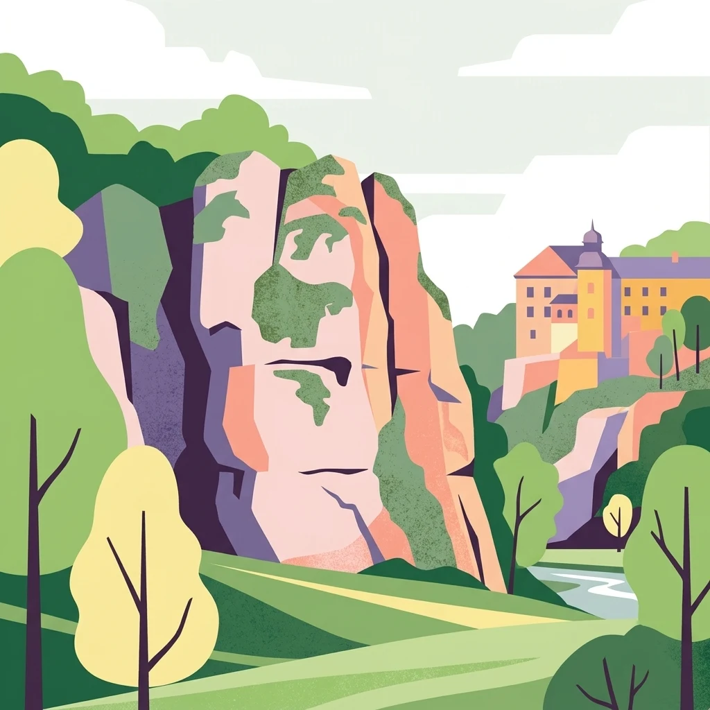
A compact limestone valley park near Krakow, defined by caves, rock pillars, and rich prehistoric human history.
Ojców National Park
Ojców National Park (Ojcowski Park Narodowy) is a small protected area in southern Poland, located in the Małopolskie region about 16 kilometers northwest of Krakow. It sits in the southern part of the Kraków-Częstochowa Upland, within the Olkusz Upland mesoregion, and protects a remarkable concentration of limestone landscape features within a remarkably compact footprint. The park is officially the smallest of Poland's national parks, yet it encompasses deeply carved river valleys, towering rock formations, dense cave systems, and a mosaic of forest, steppe-like, and wetland habitats. The park's identity is shaped by the Jurassic limestone bedrock laid down in an ancient sea, which was later sculpted by erosion into gorges, terraces, and isolated rock pillars. The Prądnik River and its tributary the Sąspówka flow through the two main valleys, while dozens of dry side gorges, rock outcrops, and karst caves add diversity to the scenery. Cultural layers run equally deep: prehistoric human traces in Ojców's caves span the Middle Paleolithic through the Neolithic, and medieval castles such as those at Ojców and Pieskowa Skała are integrated into the park landscape. Ojców National Park is also notable for being close to a major urban center, making it a popular destination for hiking, nature education, and short visits from Krakow. Its official symbol is the bat, reflecting the importance of the park's caves as winter habitats for numerous bat species and its broader ecological identity.
- Location
- Poland
- Park type
- National park
- Established
- 1956
- Area
- 21.5 km²
Location overview
Administered within Poland and the Lesser Poland Voivodeship
Geographic Overview and Regional Context for Ojcowski Park Narodowy
Ojcowski Park Narodowy is located within Poland and positioned administratively inside the Lesser Poland Voivodeship. National park records confirm its exact territorial memberships without coastal or transboundary designations.
- Countries
- Poland
- Regions
- Lesser Poland Voivodeship
- Primary location
- Lesser Poland Voivodeship
- Geographic setting
- Inland
Boundary and coordinates
Mapped protected geometry and derived spatial measurements
Ojcowski Park Narodowy Boundary Map and Spatial Extent
Spatial context emerges directly through the mapped outline of Ojcowski Park Narodowy. Analytical facts outline total area, coordinate limits, and geographic span without implying legal survey precision.
- Boundary area
- 21.6 km²
- Boundary perimeter
- 55 km
- Northernmost point
- 50.2511° N
- Southernmost point
- 50.1565° N
- Easternmost point
- 19.8783° E
- Westernmost point
- 19.768° E
- Geographic centre
- 50.2145° N, 19.8132° E
- North–south span
- 10.5 km
- East–west span
- 7.9 km
Terrain and natural features
Upland terrain classifications and recorded geological features
Ojcowski Park Narodowy Terrain and Named Natural Features
Recorded upland terrain classifications define the regional geography across Ojcowski Park Narodowy. Linked feature cards supply names, types, measurements, and spatial relationships for each recorded natural feature.
Selected named natural features
Rock formations
Rekawica
Natural springs
Źródło Ruskie
Viewpoints
Jonaszówka
Natural springs
Wtórne źródło św. Jana
316 m
Cave entrances
Krakowska
Environmental setting
Temperate upland relief, forest cover, and karst habitat classifications
Ojcowski Park Narodowy Environmental Setting and Landscape Classifications
Recorded landscape features, habitat types, and climate classifications provide structured categories for interpreting the physical setting of Ojcowski Park Narodowy. Mapped property values connect these environmental attributes directly to related atlas destinations and regional records.
- Relief
- Upland
- Climate
- Temperate
- Water
- Minor water
- Forest cover
- Mostly forested
- Seasonality
- Year-round
Landscape features
Valleys · Cliffs · Forest · Wetland · Rivers · Cave · Karst
Habitat types
Temperate broadleaf forest · Temperate coniferous forest · Montane forest · Riverine habitat · Karst habitat
Park atlas
Compare regional park geography and connected limestone protected areas
Exploring Parks Near Ojcowski Park Narodowy and Surrounding Protected Landscapes
Browsing other protected areas near Ojcowski Park Narodowy reveals wider regional geography and connected limestone formations across the surrounding upland. Comparing adjacent natural reserves helps set individual park terrain into a broader context of protected landscapes.
National parkLesser Poland Voivodeship
Park boundaries overlap#1 closest

Ojców National Park: Karst Geography and Protected Landscape Atlas Entry
Explore the mapped terrain and unique geology of this national park.
Ojców National Park, situated in Lesser Poland Voivodeship, offers a concentrated display of dramatic karst topography. This protected national park is renowned for its towering limestone cliffs, intricate ravines, and over 400 caves, showcasing a unique Jurassic geology. As a vital protected area, its mapped boundaries encompass distinctive rock formations like Hercules' Club and the historic Trail of the Eagles' Nests, providing rich context for landscape discovery and atlas exploration.
- Area
- 21.46 km²
- Established
- 1956
- IUCN
- II
- Relief
- Upland

Nature reserveLesser Poland Voivodeship
About 1.7 km away#2 closest
South
Rezerwat przyrody Dolina Kluczwody: Karst Valley and Protected Nature Reserve Geography
Exploring the limestone cliffs of Lesser Poland Voivodeship
Dolina Kluczwody represents a quintessential limestone valley landscape in southern Poland, featuring a blend of forest cover and exposed rock swards. As a protected nature reserve, it forms a crucial habitat within the Dolinki Krakowskie complex, preserving unique karst terrain and stream-fed ecosystems for scientific and environmental monitoring.
- Area
- 0.352 km²
- Established
- 1989
- Relief
- Upland
- Climate
- Temperate
Nature reserveLesser Poland Voivodeship
About 4.3 km away#3 closest
West
Dolina Szklarki Nature Reserve: Atlas Map and Protected Landscape Geography
Exploring forest communities and limestone rock formations in Lesser Poland.
Analyze the protected geography of Dolina Szklarki Nature Reserve, a key nature reserve in the Kraków-Częstochowa Upland. The area features a dense concentration of limestone cliffs, distinct forest ecosystems, and karst valley terrain within Lesser Poland Voivodeship.
- Area
- 0.467 km²
- Established
- 1989
- Relief
- Upland
- Climate
- Temperate
Nature reserveLesser Poland Voivodeship
About 7.9 km away#4 closest
West
Rezerwat przyrody Dolina Racławki: Protected Limestone Valley and Karst Geography
Explore the forest mosaic and geological cliff features in Lesser Poland
The Rezerwat przyrody Dolina Racławki landscape reserve is a significant protected area in the Olkuska Upland. Spanning a long limestone valley, the reserve features a network of caves, rock shelters, and steep cliffs built from Carboniferous and Jurassic bedrock. Its combination of layered forest communities and protected orchid populations marks it as a vital site for understanding the natural heritage and regional geography of southern Poland.
- Area
- 4.739 km²
- Established
- 1962
- Relief
- Upland
- Climate
- Temperate

Nature reserveLesser Poland Voivodeship
About 11 km away#5 closest
West
Dolina Eliaszówki Nature Reserve: Protected Karst Valley and Forest Geography in Lesser Poland
A study of limestone outcrops and mature forest habitats in southern Poland
Dolina Eliaszówki Nature Reserve encompasses a deeply incised limestone valley characterized by diverse forest communities and complex karst geomorphology. The reserve protects an integrated network of rock outcrops, caves, and springs, framing historical monastic landmarks within a continuous protected forest corridor. It offers an essential view into the layered natural and cultural history of the Kraków-Częstochowa Upland.
- Area
- 1.096 km²
- Established
- 1989
- Relief
- Upland
- Climate
- Temperate
Nature reserveLesser Poland Voivodeship
About 11 km away#6 closest
Northwest
Rezerwat przyrody Michałowiec: Protected Forest and Biodiversity in Lesser Poland
A vital beech woodland and orchid habitat in the Polish Jura
Rezerwat przyrody Michałowiec preserves a significant fragment of fertile Carpathian beech forest within the limestone-rich Olkusz Upland. Covering 12 hectares, this nature reserve is a critical component of the regional conservation mosaic, protecting rare orchid populations and maintaining the ecological continuity of the broader Orlich Gniazdy Landscape Park terrain.
- Area
- 0.121 km²
- Established
- 1959
- Relief
- Upland
- Scope
- Terrestrial

Protected landscapeLesser Poland Voivodeship
About 14 km away#7 closest
South
Bielańsko-Tyniecki Park Krajobrazowy Protected Landscape and Regional Geography
Limestone terrain and Vistula valley river corridors in Lesser Poland
Bielańsko-Tyniecki Park Krajobrazowy anchors a complex protected landscape near Kraków, featuring dramatic limestone rock groups, ancient forest complexes, and extensive river meadows. This detailed overview maps its karst caves, Natura 2000 sites, and cultural heritage, documenting the rare overlap of upland ridges and alluvial floodplains within the Lesser Poland Voivodeship.
- Area
- 63.591 km²
- Established
- 1981
- Relief
- Upland
- Climate
- Temperate
Nature reserveLesser Poland Voivodeship
About 15 km away#8 closest
Southwest
Rezerwat przyrody Dolina Mnikowska: A Karst Landscape Reserve in Lesser Poland
Mapped limestone gorge and forest protected area geography
Rezerwat przyrody Dolina Mnikowska features a striking limestone gorge and forest ecosystem within the Lesser Poland Voivodeship. This protected area offers a deep look into the karst topography, river-carved cliffs, and diverse habitat zones of the Garb Tenczyński upland region.
- Area
- 0.209 km²
- Established
- 1963
- Relief
- Upland
- Climate
- Temperate
MoriAtlas Explorer
Continue Your Geographic Exploration of Ojcowski Park Narodowy
Examine the intricate topography and karst features of Ojcowski Park Narodowy through the MoriAtlas framework. This dataset provides a structured look at the valleys, limestone outcrops, and protected boundaries that define this landmark in Lesser Poland Voivodeship.
Browse next
Global natural geography
Explore related park routes
Explore MoriAtlas Global ParksBrowse All MoriAtlas ParksGlobal Park Map DiscoveryMoriAtlas: Browse All CountriesBrowse All MoriAtlas ContinentsNational Park Environment AtlasGrand Canyon National Park AtlasYellowstone National Park AtlasYosemite National Park Atlas and GeographySerengeti National Park AtlasGalápagos National Park Protected LandscapeBanff National Park Geography and AtlasKruger National Park Atlas EntryUluṟu-Kata Tjuṯa National Park AtlasExplore Uluru-Kata Tjuta National Park GeographyPlitvice Lakes National Park AtlasFiordland National Park Protected LandscapeGreat Smoky Mountains National Park AtlasAfghanistan National Parks and Protected AreasAlbania National Parks and Protected AreasAlgeria National Parks and Protected AreasAmerican Samoa National Parks and Protected AreasAndorra National Parks and Protected AreasAngola National Parks and Protected AreasAntarctica National Parks and Protected AreasAntigua and Barbuda Park List