
Mori Atlas logo
Wildlife reserveOrmara Turtle Beaches

Explore the extensive sandy nesting habitats along the arid Makran coastline of Balochistan

Ormara Turtle Beaches Wildlife Reserve: Coastal Protected Landscapes and Geographic Boundaries

The Ormara Turtle Beaches Wildlife Reserve encompasses a significant 10 km stretch of coastal habitat along the Arabian Sea. This protected area in Balochistan serves as a critical nesting site for marine turtles, featuring broad sandy shorelines shaped by the unique arid conditions of the Makran coast. Our detailed atlas data provides insight into these sandy beach environments, their maritime setting, and the wider geographic context of this protected coastal wetland.

coastal wetlandsea turtle nestingArabian SeaMakran coastBalochistanRamsar site
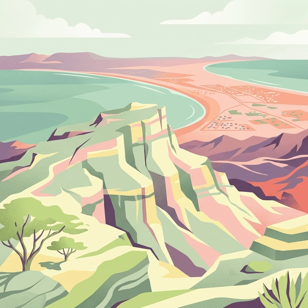
A stylized digital illustration of a coastal landscape with high cliffs, a sandy shoreline, and a turquoise sea under a soft sky.

Ormara Turtle Beaches

Wildlife reserve

Park overview

Structured park overview, official facts, and landscape profile for Ormara Turtle Beaches

Ormara Turtle Beaches park facts, protected area profile, and essential visitor context

Review the core facts for Ormara Turtle Beaches, including designation, size, terrain, visitor scale, habitats, and operating context in one park-focused overview.

About Ormara Turtle Beaches

The Ormara Turtle Beaches occupy a stretch of sand along the Makran coast in Balochistan, southwestern Pakistan. The beach runs approximately 10 km along the Arabian Sea and forms part of the broader Makran coastal landscape, which is characterized by long sandy shores, arid hinterlands, and limited freshwater input. Within the regional context of Pakistan's coastline, the Ormara stretch stands out for the density and continuity of its sandy habitat, which provides critical nesting conditions for marine turtles.

The area's environmental significance is reflected in its status as a Ramsar Wetland of International Importance, designated in 2001. Covering around 2,400 hectares, the site combines the beach itself with adjacent coastal flats and the nearshore waters that form part of the turtle nesting ecosystem. Ramsar designation places the Ormara beaches within a global framework of wetlands recognized for their ecological, scientific, and conservation value, and reinforces their importance as one of the largest known turtle nesting areas along the Pakistani coast.

The Ormara beaches are embedded within a coastal environment shaped by the meeting of arid Makran terrain with the open Arabian Sea. Conditions are harsh for most terrestrial life; sparse freshwater availability limits vegetation to salt-tolerant species, while the marine environment supports seasonal nesting activity from migratory sea turtles. As a protected site, Ormara Turtle Beaches provides a focal point for conservation attention on Pakistan's nesting turtle populations, even as the surrounding coastline faces ongoing environmental pressures.

Quick facts and research context for Ormara Turtle Beaches

The Ormara Turtle Beaches form a Ramsar-designated coastal wetland of about 2,400 hectares on the Makran coast of Balochistan, southern Pakistan. The site is roughly 10 km in length, composed of sandy shoreline along the Arabian Sea, and was formally designated in May 2001 under Ramsar reference number 1070. It is recognized as one of the largest turtle nesting sites along the Pakistani coast and supports endangered marine turtle species including olive ridley and green turtles.

Protection and recognition

Designation history, management scope, and Ramsar wetland recognition

Ormara Turtle Beaches Protection Status and International Recognition

Ormara Turtle Beaches maintains a documented mixed protection status established in 2001 alongside official Ramsar wetland recognition. Structured records outline the formal designation history and management scope associated with the protected coastal landscape.

International recognition

Protection details

Protection scope
Mixed
Designated year
2001
Transboundary protection
No
Park context

Deeper park guide and search-rich context for Ormara Turtle Beaches

Ormara Turtle Beaches history, landscape, wildlife, and travel context

Explore Ormara Turtle Beaches through its history, landscape character, ecosystems, wildlife, conservation priorities, cultural context, and seasonal travel timing in a structured park guide built for atlas discovery and search intent.

Why Ormara Turtle Beaches stands out

Ormara Turtle Beaches is best known as one of Pakistan's most significant sea turtle nesting beaches, supporting endangered olive ridley and green turtles along a long, sandy stretch of the Makran coast. Its international recognition as a Ramsar Wetland underscores the value of this nesting habitat within the broader Arabian Sea coastline.
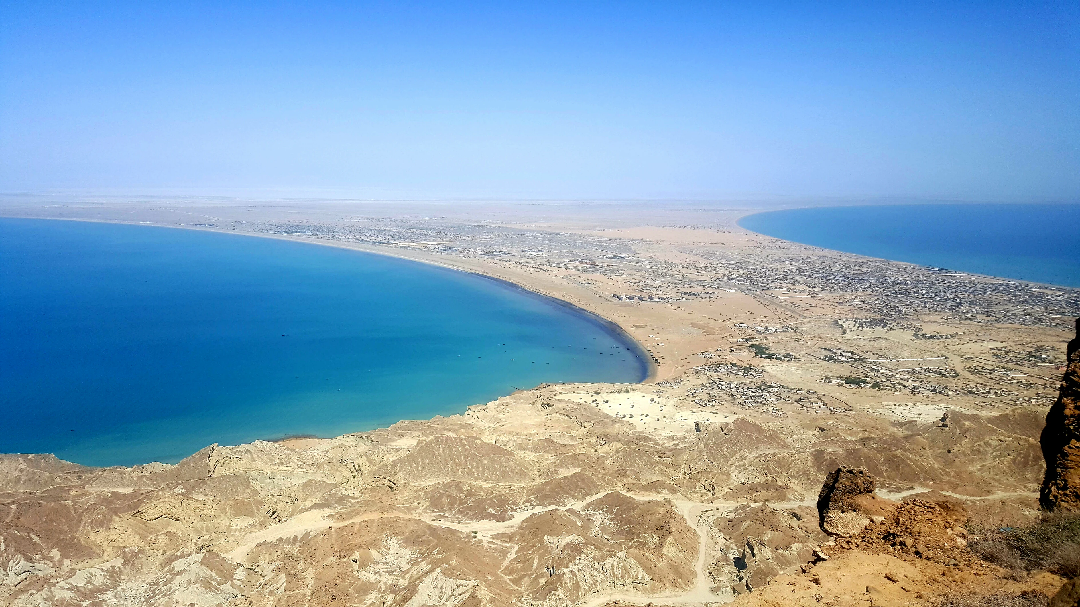
A wide aerial view looking down from a high rocky ridge over a coastal land bridge flanked by two crescent-shaped blue bays and arid terrain.
A high-angle view overlooking the double crescent beach and coastal landscape of Ormara.

Ormara Turtle Beaches history and protected-area timeline

The Ormara Turtle Beaches received formal international recognition when they were designated as a Ramsar Wetland of International Importance on 10 May 2001, under reference number 1070. This designation brought the site into the global wetland conservation framework and acknowledged its role as one of the largest turtle nesting sites along Pakistan's coast.

Ormara Turtle Beaches landscape and geographic character

The Ormara landscape is dominated by a long, continuous sandy beach stretching roughly 10 km along the Arabian Sea on the Makran coast. The shoreline forms a sweeping crescent profile, with sand as the principal substrate and minimal freshwater influence from inland sources. The surrounding terrain reflects the broader Makran character: arid coastal flats backed by dry hills, with open sea exposure on the seaward side.

The setting is shaped by strong marine and coastal processes. Sand deposition has produced a broad, relatively uniform beach that supports nesting wildlife, while the absence of major river inputs keeps the shoreline relatively sediment-rich but freshwater-poor. The visual character of the site is one of wide, exposed sand under intense sunlight, contrasting with the deep blue of the northern Indian Ocean offshore.

Ormara Turtle Beaches ecosystems, habitats, and plant life

Ecologically, the Ormara Turtle Beaches represent a narrow but ecologically important coastal habitat where sand, salt spray, and marine influences define the vegetation community. Plant life is limited primarily to salt-resistant species capable of surviving scarce freshwater conditions, reflecting the broader aridity of the Makran coast. The habitat matrix of dry sand, sparse halophytic vegetation, and open sea creates conditions that are inhospitable for many terrestrial species but suitable for marine turtle nesting.

The site's ecological value lies less in biological richness in the conventional terrestrial sense and more in the specialized niche it provides for marine turtles. The combination of undisturbed sand, appropriate beach morphology, and limited human disturbance at the nesting level makes these beaches a regionally important reproductive habitat within the Arabian Sea ecosystem.

Ormara Turtle Beaches wildlife and species highlights

The most significant wildlife feature of the Ormara Turtle Beaches is its role as a nesting ground for marine turtles. Substantial numbers of endangered olive ridley turtles and green turtles are supported by the site, and the hawksbill turtle may also nest here, although evidence is less conclusive. These species depend on stretches of suitable sandy beach for laying eggs, making long, accessible shorelines like Ormara's particularly valuable.

Beyond marine turtles, the site's avifauna is described as limited, with no significant numbers of migratory birds recorded. This is consistent with the arid coastal setting and the absence of productive wetland interfaces that might otherwise support large bird concentrations. Wildlife significance at Ormara is therefore strongly concentrated on its turtle populations rather than on broad faunal diversity.

Ormara Turtle Beaches conservation status and protection priorities

Conservation attention at the Ormara Turtle Beaches centers on the protection of marine turtle nesting habitat and the broader value of the site as a Ramsar-recognized wetland. As one of the largest known turtle nesting sites along Pakistan's coastline, its protection has both national and international importance, particularly for olive ridley and green turtles, both of which face global conservation concern.

The principal threats to the site are anthropogenic, including the capture of turtles for export and the accumulation of plastic debris along the shoreline. Both pressures have the potential to undermine nesting success and degrade the beach habitat that underpins the site's ecological function. The Ramsar designation provides a framework within which these pressures can be addressed at the policy and management level, although the persistence of these threats indicates that conservation challenges remain ongoing.

Top sights and standout views in Ormara Turtle Beaches

Ormara Turtle Beaches stands out for the combination of its physical scale, its ecological specialization, and its international recognition. A continuous 10 km sandy shoreline along the Makran coast gives the site the structural capacity to support large numbers of nesting turtles, while its designation as a Ramsar Wetland places it within a global network of important coastal habitats. The site's clear focus on marine turtle conservation, despite a relatively narrow vegetation community and limited birdlife, gives it a distinctive and clearly defined conservation identity.

Best time to visit Ormara Turtle Beaches

As a coastal nesting site, Ormara's ecological significance is tied to marine turtle nesting seasons along the Arabian Sea coast. Conditions along the Makran shoreline are generally hot and arid, with relatively mild winters compared to inland Balochistan. The most ecologically meaningful period for wildlife observation is the turtle nesting season, when olive ridley and green turtles come ashore to lay eggs. Travelers interested in cooler, more comfortable conditions may find the cooler months more pleasant for general coastal visits, though specific operational details for the site are not well documented.
Monthly climate preview

Long-term representative measurements illustrating monthly thermal and moisture patterns

Ormara Turtle Beaches Climate Normals, Annual Temperature and Precipitation Rhythms

Ormara Turtle Beaches exhibits a measured annual climate rhythm characterized by distinct long-term average temperature variations and minimal daily precipitation rates across the representative coordinate. Reviewing the complete twelve-month statistical profile clarifies the full scope of thermal shifts and monthly moisture distribution across the coastal terrain.
Annual mean26 °C
21 °C29 °C
Jan21°
Feb22°
Mar24°
Apr27°
May29°
Jun29°
Jul29°
Aug28°
Sep27°
Oct27°
Nov26°
Dec23°
Warmest month
June

29.4 °C

Coolest month
January

21.3 °C

Wettest month
July

0.6 mm/day

Driest month
November

0.1 mm/day

Park location guide

Geography guide, regional context, and park location map for Ormara Turtle Beaches

Ormara Turtle Beaches park geography, regions, and map view in Pakistan

Understand where Ormara Turtle Beaches sits in Pakistan through a broader geographic reading of the surrounding landscape, nearby location context, and its mapped position within the national park landscape.

How Ormara Turtle Beaches fits into Pakistan

Pakistan, officially the Islamic Republic of Pakistan, is a federal parliamentary Islamic republic in South Asia. It is the fifth-most populous country and the 33rd-largest by area. The country gained independence from British India in 1947 and has a diverse history spanning ancient civilizations including Mehrgarh and the Indus Valley Civilisation. Pakistan shares maritime borders with Oman and is bounded by the Arabian Sea, Gulf of Oman, and several neighboring countries.

Wider geography shaping Ormara Turtle Beaches in Pakistan

Pakistan is located in South Asia, bordered by the Arabian Sea to the south, the Gulf of Oman to the southwest, and shares land borders with India to the east, Afghanistan to the west, Iran to the southwest, and China to the northeast. The country also shares a maritime border with Oman in the Gulf of Oman. The Wakhan Corridor in Afghanistan separates Pakistan from Tajikistan in the northwest.

Map view of Ormara Turtle Beaches

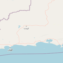
Use this park location map to pinpoint Ormara Turtle Beaches in Pakistan, understand its exact geographic position, and read its mapped placement within the surrounding landscape more clearly.

Pigeon | © OpenStreetMap contributors

Location context for Ormara Turtle Beaches

Balochistan

Visual exploration of sandy Makran shoreline terrain and marine turtle habitats

Ormara Turtle Beaches Photos and Coastal Landscape Scenery

Visual records illustrate the expansive sandy coastline and arid coastal flats defining the Makran shoreline. Detailed imagery reveals the natural environment supporting nesting marine turtles along the open Arabian Sea.

A wide aerial view looking down from a high rocky ridge over a coastal land bridge flanked by two crescent-shaped blue bays and arid terrain.

Park atlas

Compare regional protected areas and coastal habitats along the Makran shoreline

Explore Parks Near Ormara Turtle Beaches and Surrounding Coastal Reserves

Browse other parks near Ormara Turtle Beaches to examine similar marine habitats and arid coastal terrain across the region. Regional protected-area comparison provides broader geographic context for wildlife migration and coastal conservation landscapes.
National parkBalochistan
About 48 km away#1 closest

Northeast

Hingol National Park: Pakistan's Unique Protected Landscape and Geological Atlas

Discover dramatic rock formations and coastal geography.

Hingol National Park stands as a monumental protected landscape within Balochistan, Pakistan, offering an unparalleled atlas view of geological diversity. Renowned for its hoodoos like the Princess of Hope and the Balochistan Sphinx, the park also features active mud volcanoes and striking coastal semi-desert terrain. The confluence of the Hingol River with the Arabian Sea creates important wetland habitats. This national park provides a rich context for exploring unique natural formations and regional geography, making it a significant point of discovery within Pakistan's protected areas.

Area
6,100 km²
Established
1988
IUCN
II
Relief
Mixed relief
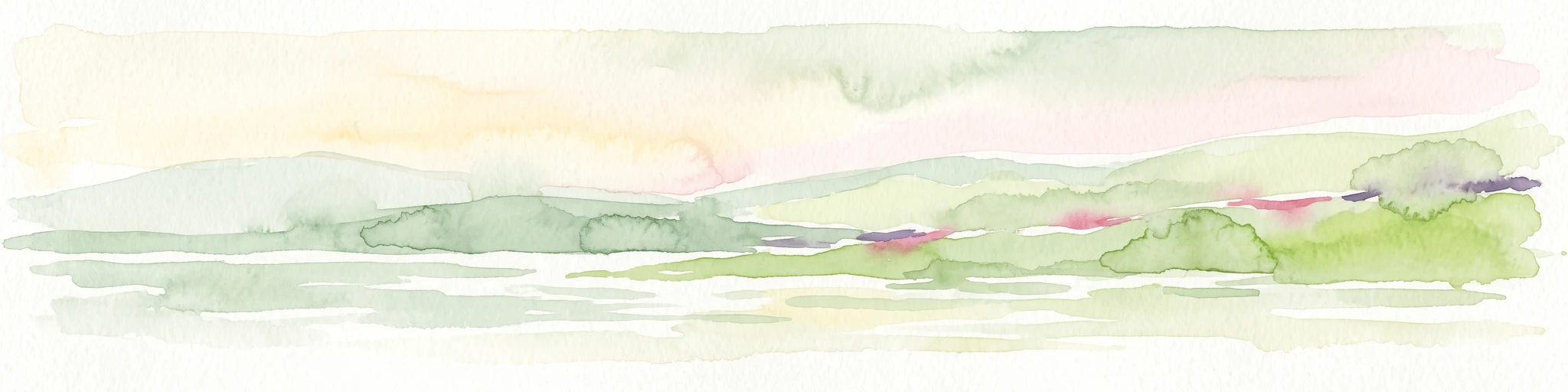
A watercolor painting of soft, layered hills in shades of green, yellow, and muted pink against a white background.
Marine protected areaBalochistan
About 80 km away#2 closest

West

Astola Island Marine Protected Area: Geography and Coastal Landscape in Balochistan

Remote island plateau and offshore protected ecosystem

Trace the fractured terrain and limestone cliffs of Astola Island, a significant marine protected area located off the coast of Balochistan. This uninhabited island serves as a critical habitat for seabirds, reptiles, and sea turtles, marking a rare convergence of geological and ecological importance within the northern Arabian Sea.

Area
6.7 km²
Established
2017
Relief
Upland
Climate
Arid
Protected areaBalochistan
About 163 km away#3 closest

East

Miani Hor Protected Area: Coastal Lagoon Mapping and Regional Geography in Balochistan

Coastal lagoon and unique mangrove wetland ecosystem

Miani Hor functions as a major tidal lagoon and protected wetland along the Balochistan coast. The area is defined by its extensive mangrove forests and connection to the Arabian Sea, providing a essential study in estuarine geography and wetland conservation within the Lasbela District.

Area
74.71 km²
Established
2001
Relief
Lowland
Scope
Mixed
A pale, minimalist watercolor painting showing soft green hills or islands against a light, misty horizon.
Marine protected areaBalochistan
About 201 km away#4 closest

East

Churna Island Marine Protected Area: Geography and Coastal Atlas of Balochistan

Mapping the coral reef systems and rocky island terrain

Churna Island represents a unique marine protected area located near the border of Balochistan and Sindh. Characterized by a desolate rocky surface, the true ecological value resides in its extensive submerged reef structures, which provide habitat for a vast array of coral species and pelagic fish. This atlas resource provides a structured look at the island's coastal geography and its growing role in regional marine conservation.

Area
0.6 km²
Established
2024
Relief
Upland
Climate
Subtropical
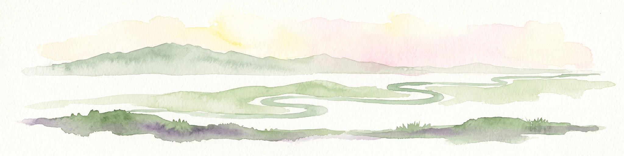
A minimalist watercolor illustration showing a winding river or estuary flowing through green coastal marshlands with soft hills in the background.
Wildlife reserveBalochistan
About 288 km away#5 closest

West

Jiwani Coastal Wetland: Mapped Protected Area and Coastal Geography in Balochistan

A vital mangrove-dominated estuary and wildlife reserve.

Jiwani Coastal Wetland stands as a unique protected reserve within Balochistan, characterized by its mix of brackish lagoons, mangrove swamps, and critical sea turtle nesting beaches. Its geographic position at the Gwatar Bay edge makes it a vital ecological link along the Arabian Sea, offering distinct landscape insights into the intersection of river-fed marshes and arid coastal terrain.

Area
19 km²
Established
2001
Relief
Lowland
Climate
Arid
National parkPakistan
About 303 km away#6 closest

East

Kirthar National Park: Discover Pakistan's Arid Mountain Protected Landscape

Explore the mapped geography and unique terrain of this vital national park.

Kirthar National Park represents a critical expanse of protected semi-arid mountainous terrain in southern Pakistan, covering over 3,000 square kilometers. It is recognized for its significant populations of Sindh ibex, urial, and chinkara gazelles, alongside a diverse array of raptors, including migratory vulture and eagle species. The park's unique landscape, characterized by parallel ridges and deep, dry valleys, provides crucial habitat in a region facing considerable development pressures, offering a distinct geographical context for protected area exploration.

Area
3,087 km²
Established
1974
IUCN
II
Relief
Mountain
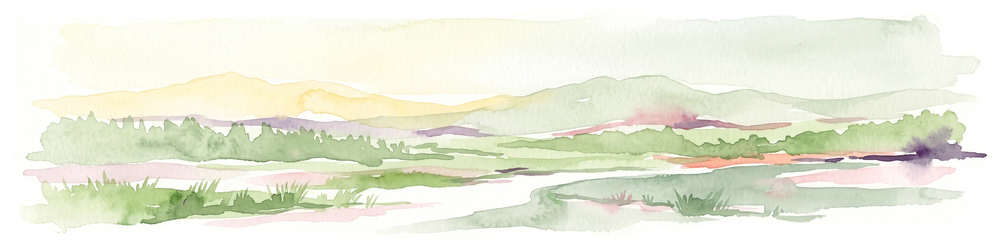
A wide watercolor painting showing a body of water in the foreground, green trees and shrubs in the middle ground, and rolling hills in the background under a pale sky.
Protected areaThatta District
About 321 km away#7 closest

East

Haleji Lake Protected Area: Mapping Wetlands and Freshwater Ecosystems in Thatta District

A significant freshwater reservoir and Ramsar site in southern Sindh, Pakistan.

Situated in the low-lying plains of Thatta District, Haleji Lake functions as an essential freshwater sanctuary for migratory bird species. The site features a distinct mosaic of managed reservoirs, fringing marshes, and brackish lagoons, offering a unique look at the interaction between water engineering and natural wetland conservation in the Indus basin.

Area
6.58 km²
Established
1943
Relief
Lowland
Scope
Terrestrial
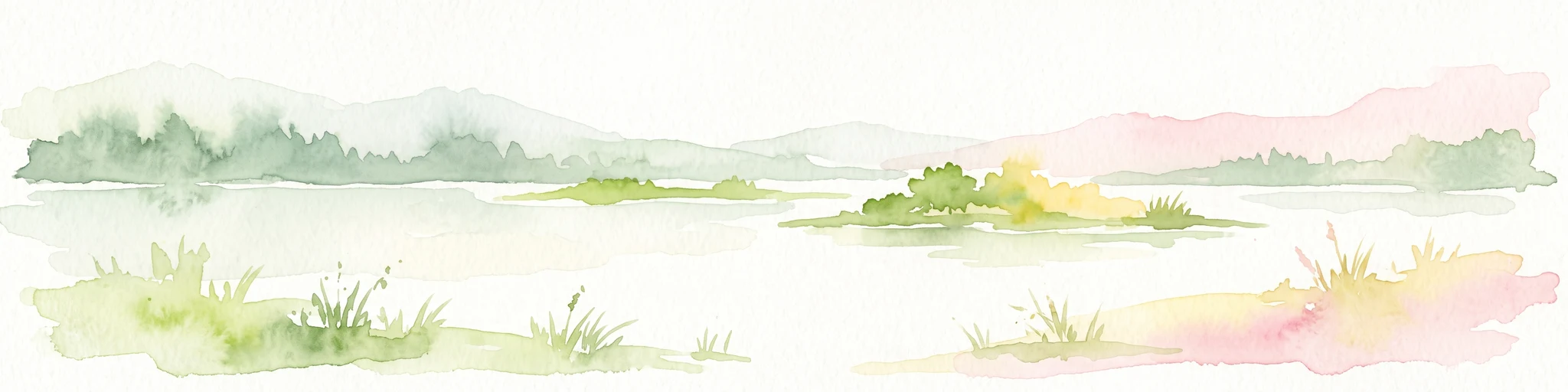
Watercolor painting of a calm lake with grassy foreground, small islands, and distant hills under a soft light.
Wildlife reserveSindh
About 346 km away#8 closest

East

Keenjhar Lake Wildlife Reserve: Sindh Province Protected Wetland and Geographic Atlas

Mapped freshwater wetland and regional wildlife sanctuary

Keenjhar Lake is a prominent freshwater wetland and wildlife reserve in the Thatta District of Sindh. This expansive basin serves as a key ecological anchor for migratory waterbirds and a central feature of the regional landscape. The area combines significant hydrological value with distinct cultural history, providing a unique look into the protected geography of southeastern Pakistan.

Area
134.68 km²
Relief
Lowland
Scope
Terrestrial
Water
Water-dominated

Common questions about visiting, size, designation, and location context for Ormara Turtle Beaches

Ormara Turtle Beaches FAQs for park facts, access, geography, and protected area context

Find quick answers about Ormara Turtle Beaches, including protected-area facts, park geography, trail and visitor context, and how the park fits into its surrounding country and regional landscape.
MoriAtlas Explorer

Continue Your Protected Areas Search Across the Global Atlas

Deepen your exploration by continuing the structured search for national parks and protected areas worldwide. Utilize the comprehensive filtering capabilities to compare different conservation landscapes and refine your understanding of global park geography. Discover more about the distribution and characteristics of protected natural areas.

Global natural geography