
Mori Atlas logo
Regional parkParc naturel Haute-Sûre Forêt d'Anlier

Mapping the forested uplands and Sûre river valley network in Province de Luxembourg

Parc naturel Haute-Sûre Forêt d'Anlier: A Regional Park in the Belgian Ardennes Highlands

Parc naturel Haute-Sûre Forêt d'Anlier represents a vast protected landscape within the Belgian Ardennes, spanning significant portions of the Province de Luxembourg. The terrain is defined by the extensive deciduous Anlier forest massif and the deeply incised hydrographic basin of the Sûre river. This protected area connects directly to transboundary landscapes, maintaining critical habitats for sensitive species across a quiet, rural upland environment.

Ardennesdeciduous forestriver valleySûre basinNatura 2000Walloon nature park
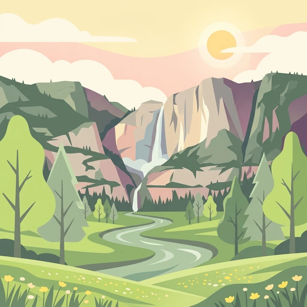
A flat-style digital illustration depicting a mountain valley with a tiered waterfall, a winding river, and a meadow with yellow wildflowers under a soft sun.

Parc naturel Haute-Sûre Forêt d'Anlier

Regional park

Park overview

Structured park overview, official facts, and landscape profile for Parc naturel Haute-Sûre Forêt d'Anlier

Parc naturel Haute-Sûre Forêt d'Anlier park facts, protected area profile, and essential visitor context

Review the core facts for Parc naturel Haute-Sûre Forêt d'Anlier, including designation, size, terrain, visitor scale, habitats, and operating context in one park-focused overview.

About Parc naturel Haute-Sûre Forêt d'Anlier

Parc naturel Haute-Sûre Forêt d'Anlier sits in the heart of the Belgian Ardennes, a region defined by rolling forested uplands, modest elevations, and quiet river valleys. The park was created in 2001 as part of the Walloon network of natural parks, and it organizes its territory around the natural geography of the area rather than around any single dominant feature. The Sûre river, a tributary of the Moselle, sculpts the southwestern portions of the park into narrow, wooded valleys, while the broader Anlier forest massif dominates much of the remaining landscape with extensive deciduous cover.

The park spans an area of about 833 square kilometers, covering the full or partial territories of seven communes: Bastogne, Vaux-sur-Sûre, Fauvillers, Habay, Martelange, Léglise, and Neufchâteau. This scale allows it to function as a true regional landscape park, integrating forest, farmland, villages, and waterways into a single coordinated framework rather than focusing solely on a protected reserve. The Ardennes identity of the area is strong here, marked by traditional Walloon villages, mixed woodlands, and a relatively low population density that has helped preserve extensive tracts of forest.

A defining aspect of the park is its ecological recognition beyond Wallonia. Parts of the park, including the Anlier forest itself, are formally designated as Natura 2000 sites, placing the landscape within the European network for habitat and species protection. The black stork, a sensitive species associated with mature deciduous forests and quiet wetland margins, is the park's symbolic animal, signaling both the presence of suitable habitat and the management intent to maintain those conditions. Sharing a direct border with the Luxembourgish Naturpark Boven-Sûre, the park is also part of a transboundary ecological continuum along the Sûre valley.

Quick facts and research context for Parc naturel Haute-Sûre Forêt d'Anlier

The park is located in the Province of Luxembourg in Wallonia, within the Belgian Ardennes, and spans seven communes centered around towns such as Bastogne and Neufchâteau. It was established in 2001 and covers roughly 833 square kilometers, making it one of the larger nature parks in the Walloon network. The protected landscape centers on the Sûre river basin and the Anlier forest massif, with parts of the territory designated as Natura 2000 sites.

Park context

Deeper park guide and search-rich context for Parc naturel Haute-Sûre Forêt d'Anlier

Parc naturel Haute-Sûre Forêt d'Anlier history, landscape, wildlife, and travel context

Explore Parc naturel Haute-Sûre Forêt d'Anlier through its history, landscape character, ecosystems, wildlife, conservation priorities, cultural context, and seasonal travel timing in a structured park guide built for atlas discovery and search intent.

Why Parc naturel Haute-Sûre Forêt d'Anlier stands out

The park is best known for the combination of deeply incised Sûre river valleys and the expansive deciduous forests of the Anlier massif, a wooded upland that gives the park half of its name. It is also recognized for the presence of the black stork, which serves as the park's emblem and reflects the value of its mature, mixed deciduous habitats and associated wetland edges. Its formal recognition within the Natura 2000 network adds a European conservation dimension to its profile as a working Ardennes landscape.
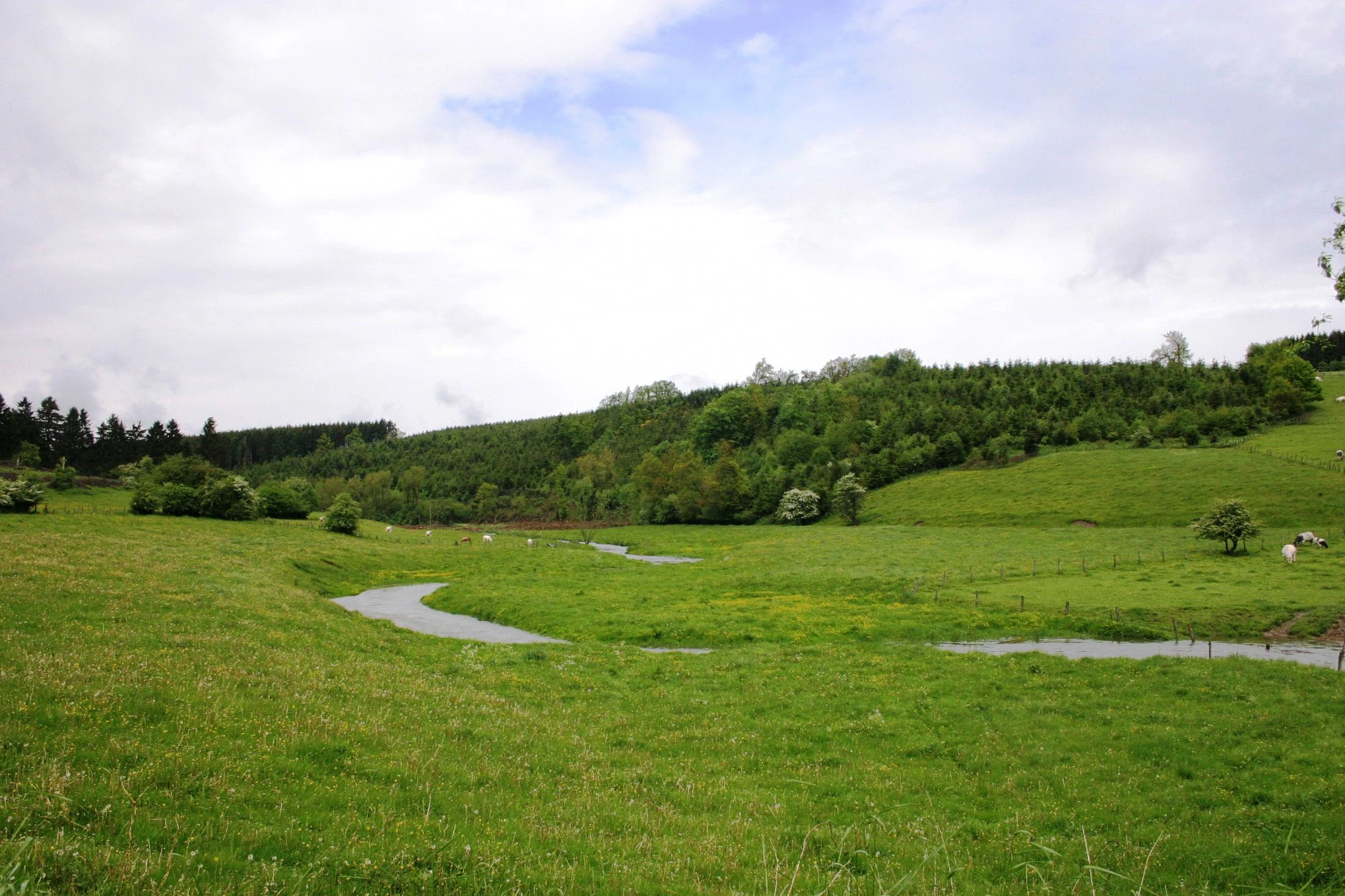
A small winding river flows through a vibrant green meadow surrounded by gentle rolling hills and deciduous forests under a cloudy sky.
The Haute-Sûre river meandering through the lush green pastures near Winville.

Parc naturel Haute-Sûre Forêt d'Anlier history and protected-area timeline

The park was formally established in 2001 as one of the recognized nature parks of Wallonia, grouping seven communes under a single coordinated framework for landscape and conservation management. Its creation reflected the gradual Walloon policy of recognizing distinctive regional landscapes through dedicated natural parks, particularly within the Ardennes. The naming itself reflects the two geographical pillars on which the park was organized: the Sûre river basin and the Anlier forest massif. Over time, portions of the park territory gained additional recognition through inclusion in the European Natura 2000 network, with the Anlier forest identified as a site of European habitat value.

Parc naturel Haute-Sûre Forêt d'Anlier landscape and geographic character

The landscape of the park is shaped by the hydrographic basin of the Sûre river, which cuts narrow, often steep-sided valleys through the Ardennes uplands and creates a clear contrast between valley floors and surrounding forested plateaus. The Sûre, a tributary of the Moselle, lends the park much of its topographic character and contributes strong woodland and riparian features along its course.

Above and beyond the river valleys sits the Anlier forest massif, a broad expanse of deciduous woodland that is the dominant land cover of much of the park. The forest is characterized by extensive mixed deciduous stands typical of the Ardennes, with species such as oak and beech playing a major role. Together, the river valleys and the forest massif define a relatively quiet, well-wooded country, punctuated by small Walloon villages and traditional Ardennes farming land rather than large urban areas.
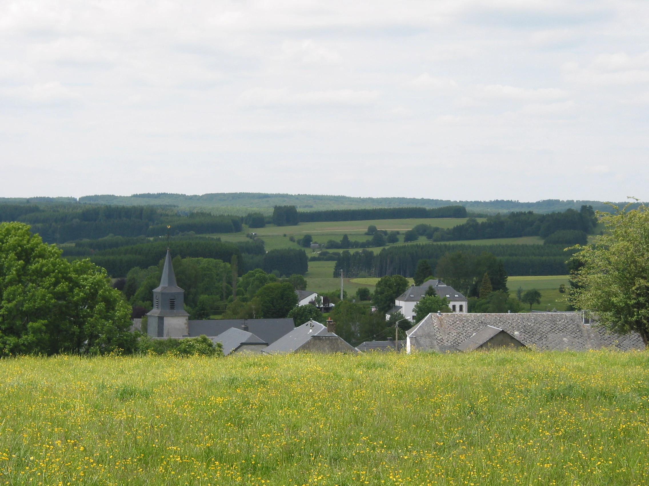
A wide view of the village of Anlier, Belgium, with houses and a church steeple surrounded by green fields and forests under an overcast sky.
The village of Anlier nestled within the rolling countryside of the Parc naturel Haute-Sûre Forêt d'Anlier.

Parc naturel Haute-Sûre Forêt d'Anlier ecosystems, habitats, and plant life

Ecologically, the park is anchored in Ardennes-type forest ecosystems, particularly the extensive deciduous woodlands of the Anlier massif. These mature broadleaf forests are central to the park's natural character, providing the structural complexity and habitat continuity that many woodland species require. The Sûre river and its smaller tributaries add a layer of aquatic and riparian habitat, supporting wetland edges, wet woodland, and stream-side vegetation that complement the drier upland forests.

The inclusion of the Anlier forest as a Natura 2000 site reinforces the European ecological value of these forested habitats. The park therefore reads less as a single habitat type and more as a mosaic: Ardennes deciduous forest at its core, river valley woodland along the Sûre, and transitional land use connecting forest edges, meadows, and small settlements.
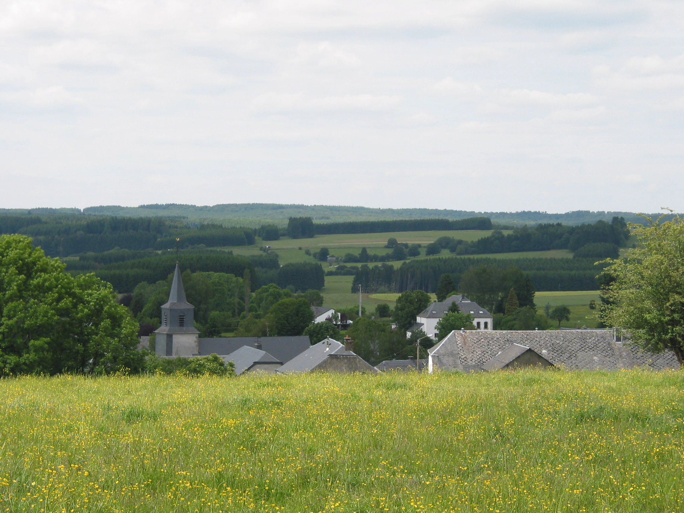
A wide view of a small village in Belgium with a church steeple, surrounded by green fields and forests under a light cloudy sky.
The village of Anlier nestled within the rolling landscape of the Parc naturel Haute-Sûre Forêt d'Anlier.

Parc naturel Haute-Sûre Forêt d'Anlier wildlife and species highlights

The black stork, the symbolic species of the park, is the most prominent faunal reference and points to the presence of mature, undisturbed deciduous forests combined with quiet wetland margins. This emblem reflects the kind of conditions the park aims to maintain; large, continuous woodland blocks and water-rich valley habitats that support sensitive breeding and feeding species.

Beyond the symbolic stork, the broader Ardennes forest environment of the park supports the typical wildlife communities associated with Belgian deciduous woodlands and Ardennes river valleys. The combination of extensive canopy cover, varied understory, and riparian habitat along the Sûre provides the ecological conditions for a wide range of forest and stream-associated fauna characteristic of the region.

Parc naturel Haute-Sûre Forêt d'Anlier conservation status and protection priorities

From a conservation standpoint, the park's significance is reinforced by the formal recognition of parts of its territory within the European Natura 2000 network, including the Anlier forest. This designation elevates the area from a regional Walloon natural park to a landscape with documented European-level habitat importance, placing it within the broader continental framework for nature protection.

At a regional scale, the park's value lies in sustaining a large, continuous block of Ardennes deciduous forest together with the Sûre river valley, both of which are increasingly important in a heavily human-modified European landscape. The park's mosaic of forest, farmland, and valley habitats, managed under a single framework across seven communes, gives it meaningful conservation weight beyond its symbolic designation.

Parc naturel Haute-Sûre Forêt d'Anlier cultural meaning and human context

The park lies in a part of the Belgian Ardennes with a strong Walloon rural identity, where small villages, traditional Ardennes architecture, and a long-standing relationship between forest and farming define everyday life. The municipal territories that compose the park include Bastogne, a town of considerable historical resonance, and a network of smaller communities such as Anlier, Habay, and Léglise that reflect the rhythm of Ardennes village life. The shared boundary with the Luxembourgish Naturpark Boven-Sûre also gives the park a transboundary cultural and environmental dimension, linking two regions along the Sûre valley.

Top sights and standout views in Parc naturel Haute-Sûre Forêt d'Anlier

The park stands out for the scale of its Ardennes deciduous forest cover, the depth and quietness of the Sûre river valleys, and its formal recognition within the Natura 2000 network. The black stork as the park's emblem gives it a distinctive identity among Walloon nature parks, connecting the landscape to a sensitive and charismatic species. Its transboundary character, linking directly to the Luxembourgish Naturpark Boven-Sûre, adds a rare continental dimension to its profile.

Best time to visit Parc naturel Haute-Sûre Forêt d'Anlier

The park reflects the typical seasonality of the Ardennes: deciduous forests leaf out fully in late spring and early summer, turning the Anlier massif into a dense green landscape, while autumn brings the broader color shifts associated with Ardennes broadleaf woodland. Spring and early summer are particularly relevant for woodland birdlife and the species associated with mature forest, while autumn emphasizes the forest landscape itself. The Sûre valley scenery remains attractive across seasons, though weather in the Ardennes can change rapidly and conditions are typically cooler than in lower-lying parts of Belgium.


Monthly climate preview

Long-term temperature ranges and monthly precipitation cycles across the representative coordinate

Parc naturel Haute-Sûre Forêt d'Anlier Climate Normals and Annual Weather Patterns

Historical records from 1991 to 2020 outline the measured temperature progression and daily precipitation rates across the representative elevation of Parc naturel Haute-Sûre Forêt d'Anlier. Detailed monthly normals provide a complete look at long-term atmospheric patterns for this protected area.
Annual mean8 °C
0 °C17 °C
Jan
Feb
Mar
Apr
May12°
Jun15°
Jul17°
Aug17°
Sep13°
Oct
Nov
Dec
Warmest month
July

17.4 °C

Coolest month
January

0.2 °C

Wettest month
December

3.2 mm/day

Driest month
April

1.8 mm/day

Park location guide

Geography guide, regional context, and park location map for Parc naturel Haute-Sûre Forêt d'Anlier

Parc naturel Haute-Sûre Forêt d'Anlier park geography, regions, and map view in Belgium

Understand where Parc naturel Haute-Sûre Forêt d'Anlier sits in Belgium through a broader geographic reading of the surrounding landscape, nearby location context, and its mapped position within the national park landscape.

How Parc naturel Haute-Sûre Forêt d'Anlier fits into Belgium

Belgium is a parliamentary constitutional monarchy and federal state in Northwestern Europe. Located in the Low Countries, it borders the Netherlands, Germany, Luxembourg, France, and the North Sea. The country has three autonomous regions and three official languages, with Brussels as both the capital and largest city. Belgium is a founding member of the European Union and hosts its de facto capital in Brussels.

Wider geography shaping Parc naturel Haute-Sûre Forêt d'Anlier in Belgium

Belgium occupies a coastal lowland region in Northwestern Europe known as the Low Countries. It is bordered by the Netherlands to the north, Germany to the east, Luxembourg to the southeast, France to the south, and the North Sea to the west. The country also shares a maritime boundary with the United Kingdom to the northwest.

Map view of Parc naturel Haute-Sûre Forêt d'Anlier

Use this park location map to pinpoint Parc naturel Haute-Sûre Forêt d'Anlier in Belgium, understand its exact geographic position, and read its mapped placement within the surrounding landscape more clearly.

Pigeon | © OpenStreetMap contributors

Location context for Parc naturel Haute-Sûre Forêt d'Anlier

Province de Luxembourg

Visualizing the forested uplands, river valleys, and protected habitats of the Belgian Ardennes

Parc naturel Haute-Sûre Forêt d'Anlier Landscape Photos and Scenery

Visual records reveal the diverse terrain and protected habitats that define the Belgian Ardennes across the Sûre basin. Examining these photographs clarifies the topography and woodland structure of the protected reserve.

A small winding river flows through a vibrant green meadow surrounded by gentle rolling hills and deciduous forests under a cloudy sky.

A winding river flowing through a lush green meadow, with a forested hillside in the background under a cloudy sky.

A wide view of the village of Anlier, Belgium, with houses and a church steeple surrounded by green fields and forests under an overcast sky.

A wide view of a small village in Belgium with a church steeple, surrounded by green fields and forests under a light cloudy sky.

Park atlas

Compare adjacent Ardennes reserves, transboundary valleys, and forested uplands

Parks Near Parc naturel Haute-Sûre Forêt d'Anlier and Surrounding Protected Landscapes

Browsing other parks near Parc naturel Haute-Sûre Forêt d'Anlier reveals connected protected landscapes across the Belgian uplands. Comparing adjacent regional reserves provides broader geographic context for the Sûre river basin and surrounding forest ecosystems.
Protected landscapeProvince de Luxembourg
About 8.7 km away#1 closest

Southeast

Parc naturel de la Vallée de l'Attert: Geography and Protected Landscape Analysis

Mapping the rural bocage and river corridors of southeastern Belgium

Understand the landscape composition of Parc naturel de la Vallée de l'Attert, a protected area bridging the Ardennes and Lorraine regions. This analysis covers the park's semi-bocage structure, alluvial river corridors, and the ecological transition defined by its unique regional geography.

Area
70.95 km²
Established
1994
Relief
Mixed relief
Climate
Temperate
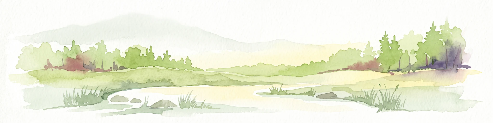
Watercolor illustration of a landscape with rolling hills, a river, and green vegetation
Protected areaProvince of Luxembourg
About 11 km away#2 closest

Southwest

Gaume Natural Park: A Protected Area Defining the Landscape of Province of Luxembourg

Explore its mapped natural landscape and geographic context.

Gaume Natural Park is a protected area offering a unique perspective on the natural landscapes found within Belgium's Province of Luxembourg. As a key geographic entity, it provides a vital component for atlas exploration, showcasing distinct mapped boundaries and regional terrain. Understand its significance as a protected natural space contributing to the Ardennes region's extensive geography, making it an essential point for structured discovery of protected lands.

Area
581.04 km²
Established
2014
IUCN
V
Relief
Lowland
A soft watercolor illustration showing a calm river flowing through a lush, green landscape with forested hills in the distance.
Protected landscapeProvince de Luxembourg
About 20 km away#3 closest

North

Parc naturel des Deux Ourthes: Protected Landscape and Ardennes River Geography

Exploring the forested plateaus and meandering valleys of the Belgian Ardennes

Parc naturel des Deux Ourthes presents a complex geography defined by the convergence of the Ourthe river branches and the expansive Forêt de Freyr. This protected landscape contains rare upland peat bogs and dramatic rock formations, offering a dense, multi-layered terrain that defines the ecological character of the Province de Luxembourg. Its boundaries reflect a significant commitment to forest preservation and habitat conservation within the broader Wallonian natural context.

Area
760 km²
Established
2001
IUCN
V
Relief
Mountain
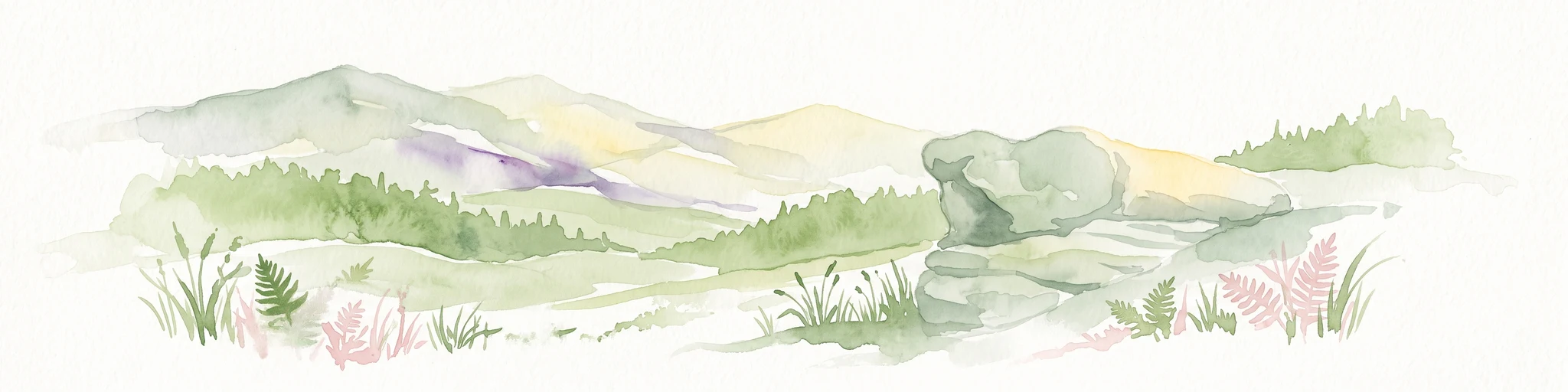
A soft watercolor illustration featuring distinctive sandstone rock formations in the foreground with rolling hills and a forested landscape in the distance.
Nature reserveNoumer
About 36 km away#4 closest

East

Eechelbuer-Lock: Protected Sandstone Plateau and Archaeological Landmark in Central Luxembourg

A unique nature reserve in the Noumer region with rare geological formations.

Eechelbuer-Lock serves as a vital protected landscape that blends geological oddity with archaeological depth. Located in Noumer, this sandstone plateau hosts the iconic Champignon rock and provides essential habitats for dry heath and juniper thickets. The site offers a clear view into central Luxembourg's protected geography, featuring a trapezoidal expanse where ancient stone carvings and prehistoric occupation sites remain preserved within the modern nature reserve boundaries.

Established
1972
Relief
Upland
Climate
Temperate
Scope
Terrestrial
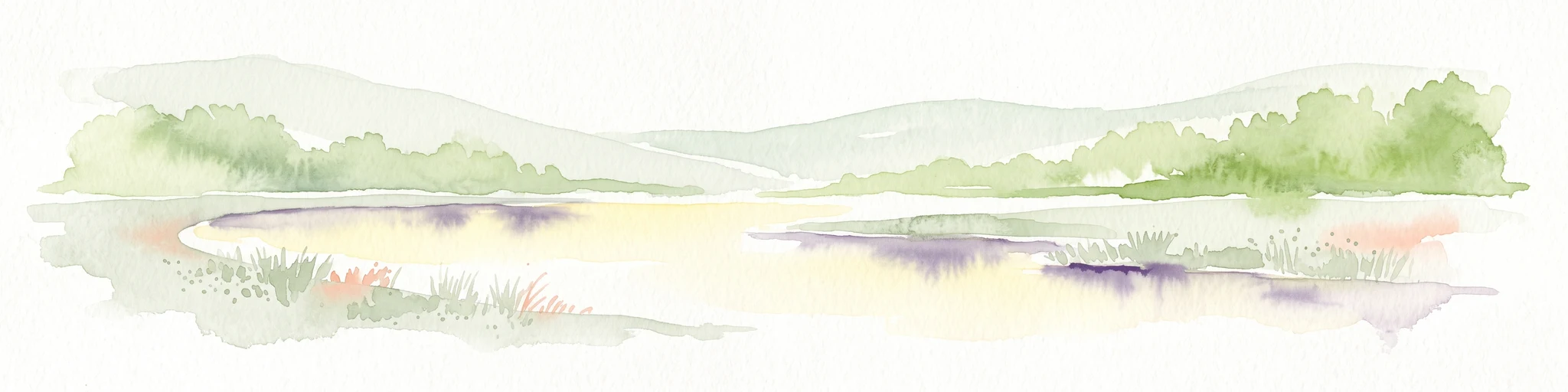
A horizontal watercolor painting showing a quiet wetland with light green vegetation, a shallow pool of water reflecting soft purples, and gentle hills in the background on a white background.
Nature reserveSchifflange
About 39 km away#5 closest

Southeast

Brill Nature Reserve: Wetland Geography and River Restoration in Schifflange

Exploring the protected Alzette River floodplain and riparian habitat mosaic

Brill Nature Reserve stands as an ecologically significant protected area within the heavily developed valley of Schifflange, Luxembourg. This wetland sanctuary showcases a successful river restoration project, creating a dense network of ponds, reedbeds, and river-delta woodlands that function as a crucial refuge for wildlife amidst urban surroundings.

Area
0.197 km²
Established
1988
Relief
Lowland
Scope
Terrestrial
Nature reserveLuxembourg
About 40 km away#6 closest

Southeast

Beetebuerger Bësch: Nature Reserve and Protected Woodland Mapping in Luxembourg

A crucial reference site for forest ecology in southern Luxembourg

Beetebuerger Bësch stands as a designated nature reserve within the communes of Bettembourg, Leudelange, and Roeser. This protected forest landscape is managed to allow natural woodland development, providing researchers and visitors with a view of old growth dynamics, saproxylic invertebrate habitats, and restored riparian zones along the Koleschgriecht stream.

Area
2.373 km²
Established
2005
Relief
Lowland
Climate
Temperate
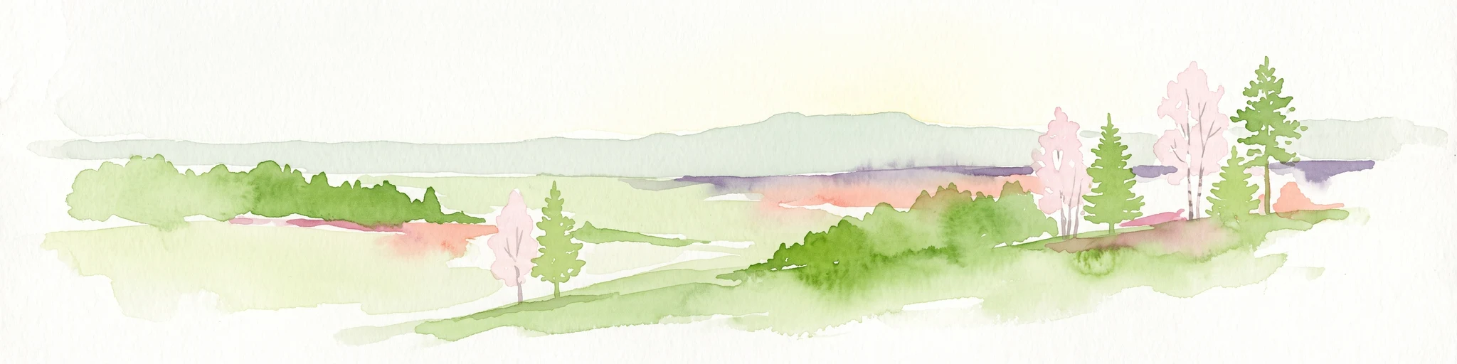
Watercolor painting of a green, rolling landscape with scattered trees and soft hills against a light background.
Nature reserveLuxembourg
About 41 km away#7 closest

Southeast

Brucherbierg-Lallengerbierg Nature Reserve: Industrial Heritage and Protected Geography in Luxembourg

A restored Minett mining landscape and thriving dry-grassland ecosystem.

Brucherbierg-Lallengerbierg offers a window into the evolution of post-industrial terrain. Spanning 267 hectares in southern Luxembourg, the reserve protects a rugged landscape of cliffs, stony basins, and terraces that have been reclaimed by pioneer vegetation. Through careful ecological maintenance, the site serves as a prime example of habitat conservation, preserving a rare, open dry-meadow environment within the broader Minett industrial corridor.

Area
2.67 km²
Established
2016
Relief
Upland
Water
Minor water
Nature reserveLuxembourg
About 42 km away#8 closest

Southeast

Ellergronn Nature Reserve: Mapping Protected Woodland and Industrial Collapse Terrain

An atlas of reclaimed post industrial habitats in southern Luxembourg

Ellergronn Nature Reserve acts as a case study in landscape reclamation, transforming former ironstone mining pits into a deep network of collapse ponds and diverse woodland. This protected area offers a look at how subsidence and quarrying have resulted in a unique mosaic of calcareous grasslands and forest pools, providing a clear map of Luxembourg's industrial environmental history.

Area
1.104 km²
Established
1988
Scope
Terrestrial
Water
Minor water

Common questions about visiting, size, designation, and location context for Parc naturel Haute-Sûre Forêt d'Anlier

Parc naturel Haute-Sûre Forêt d'Anlier FAQs for park facts, access, geography, and protected area context

Find quick answers about Parc naturel Haute-Sûre Forêt d'Anlier, including protected-area facts, park geography, trail and visitor context, and how the park fits into its surrounding country and regional landscape.
MoriAtlas Explorer

Continue Your Protected Areas Search Across the Global Atlas

Deepen your exploration by continuing the structured search for national parks and protected areas worldwide. Utilize the comprehensive filtering capabilities to compare different conservation landscapes and refine your understanding of global park geography. Discover more about the distribution and characteristics of protected natural areas.

Global natural geography