
Why Parque de Protección Ecológica del Río Piraí stands out
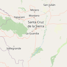
The park is best known for being a riverine protection zone that combines flood-risk mitigation with conservation of lowland Bolivian ecosystems. Its defining characteristic is the contrast between the regulated river corridor and the surrounding urban pressures of Santa Cruz de la Sierra. It is also recognized as one of the most visible urban-edge conservation efforts in eastern Bolivia, where laws defending forest cover coexist with continuing sand extraction, road-building, and informal settlement inside the protection perimeter.
Parque de Protección Ecológica del Río Piraí history and protected-area timeline
The history of the park is inseparable from the history of flooding along the Río Piraí. In March 1983, the river broke its banks and inundated Santa Cruz de la Sierra and surrounding rural areas, damaging approximately 9,500 homes, killing around 900 people, and causing losses estimated at 37 million US dollars. The scale of the disaster forced Bolivia to rethink how the lower Piraí was managed.
That same year, Ley Nacional 550 created the Servicio de Encauzamiento de Aguas y Regularización del Río Piraí, known as SEARPI. SEARPI became the institutional backbone of basin management, channeling national and international investment into embankments, reforestation, monitoring stations, and planning. International cooperation supported civil defense works, management plans, and reforestation projects through this entity.
The specific ecological protection park emerged as a tool to control what could happen on the riverbanks closest to Santa Cruz de la Sierra. Starting in 1991, a long series of national and municipal regulations defined its boundaries and permitted land uses. In 2004, Ley Nacional 2913 declared a metropolitan-level preservation area along the river, while Ley Autonómica Municipal 1434 defined specific limits, uses, and prohibitions for the portion within the municipality of Santa Cruz de la Sierra. The municipal government approved two master plans for the park, in 2007 and 2022, while nearby municipalities, including La Guardia, also approved their own planning frameworks.
Despite this layered framework, the park's history has also been marked by the steady pressure of urban expansion. Settlements, roads, water-treatment lagoons, cabins, and the Barrio Ambrosio Villarroel are all officially recognized features within the protection zone. Almost all of the sand used for construction in Santa Cruz de la Sierra comes from the riverbed, driving additional access roads and informal occupations inside the park. Land-use change studies between 2001 and 2021 documented the loss of roughly 235 hectares of tree cover, a trend that has been only weakly affected by the protection regime.
Parque de Protección Ecológica del Río Piraí landscape and geographic character
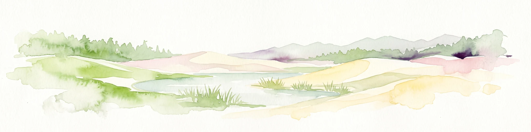
The landscape of the park is shaped first and foremost by the Río Piraí itself. The river is broad, powerful, and prone to sudden flooding, carrying sediment eroded from the eastern Andean ranges and depositing it further downstream. This constant movement of sediment shifts the course of the river and reshapes the surrounding floodplain over time, producing a dynamic, ever-changing environment.
The topography of the park is relatively flat, typical of the alluvial plain east of the Andes. Much of the area consists of low terraces and floodplain flats immediately adjacent to the river channel. South of the main alluvial zone, successional riparian vegetation follows the watercourse in narrow bands, grading into patches of anthropic grassland, secondary vegetation, and wooded savanna that reflect past clearing.
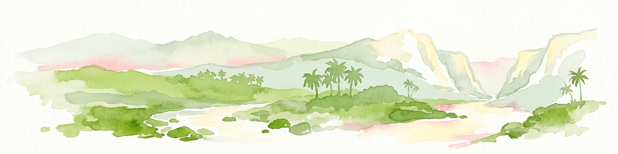
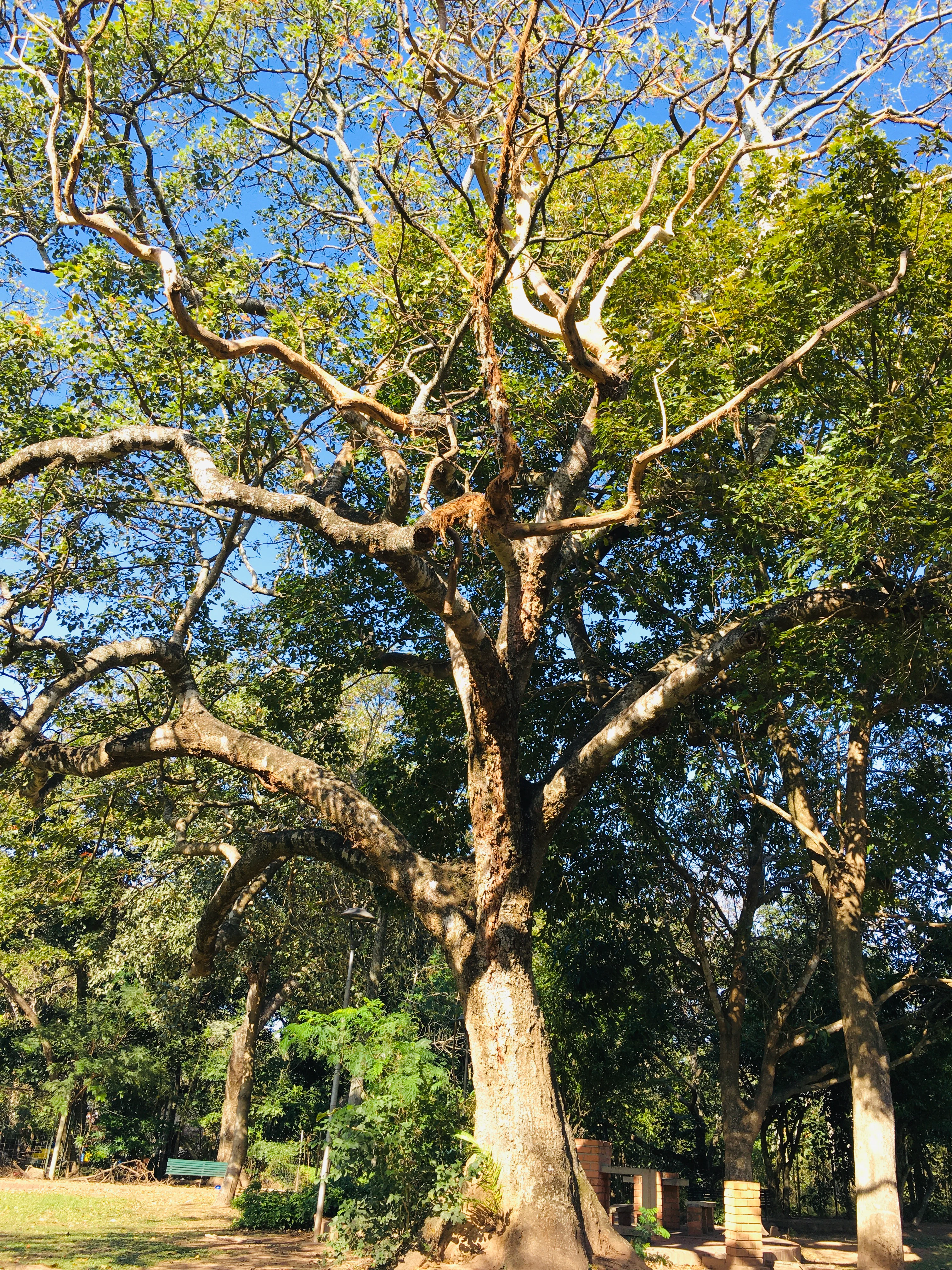
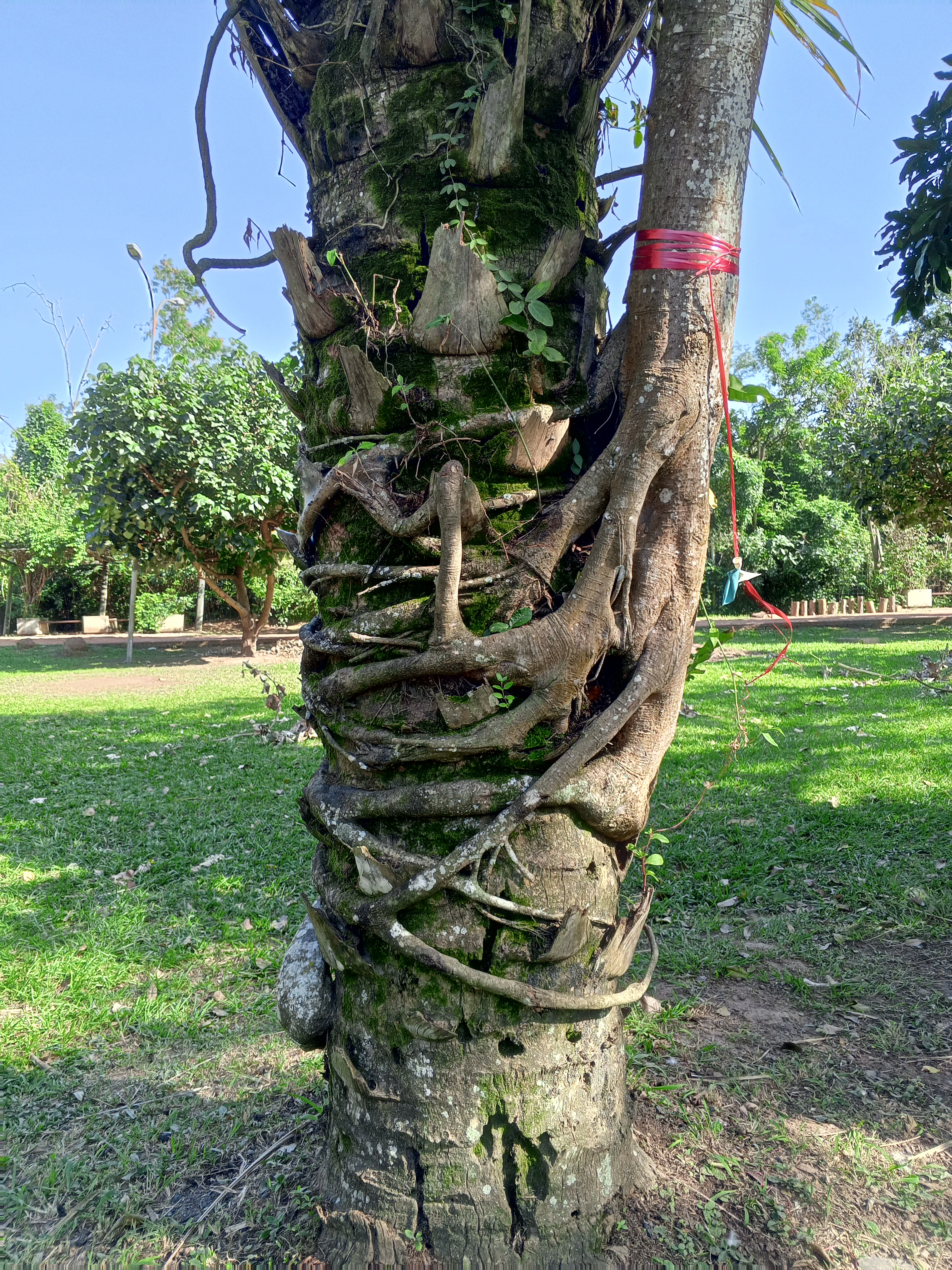
Overall, the visual character of the landscape is one of a narrow green corridor sandwiched between a major city and an actively shifting river. Towering palms, slanted by their proximity to the waterway, and exposed root systems gripping riverbank soils are characteristic features, as are the contrasting textures of dry Chiquitano woodland, dense gallery forest, and open grassland patches where forests have been cleared.
Parque de Protección Ecológica del Río Piraí ecosystems, habitats, and plant life
Ecologically, the park belongs to the lowland ecosystems of eastern Bolivia and is dominated by Chiquitano dry forest, which covers roughly 60 percent of its area. This forest type is one of the most distinctive vegetation formations in the country, adapted to a climate with marked wet and dry seasons rather than the rainforest conditions found further north.
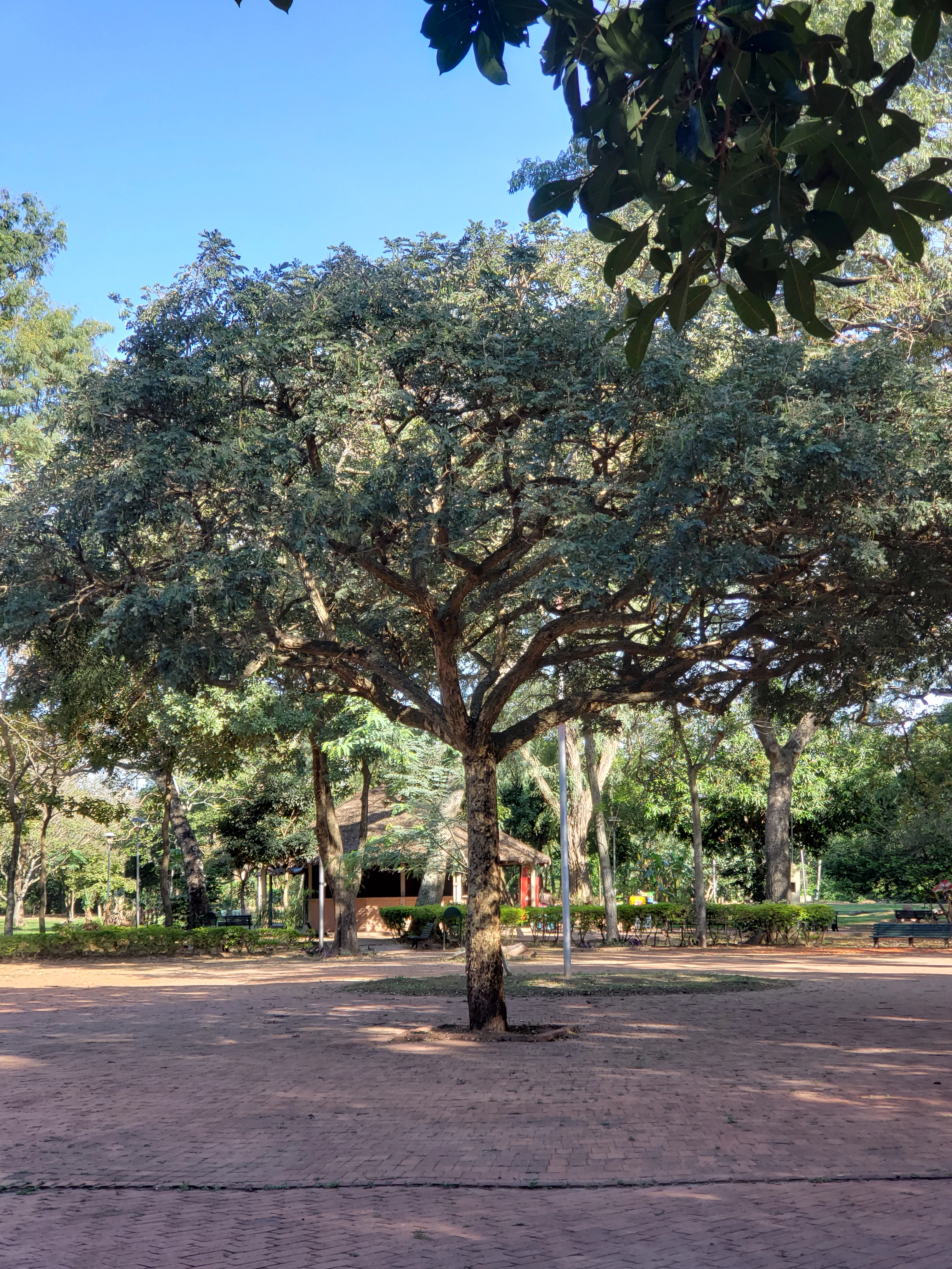
Within the protection zone, vegetation varies with elevation and drainage. The northern portion supports mesophilic forests of the alluvial plain with trees of moderate height, including species such as blanquillo, sauco negro, and curupaú. Lower-lying areas hold somewhat poorly drained alluvial forests with shorter trees, often around 10 meters, dominated by species such as ambaibo and jorori. Along the river itself, successional riparian forests take over, featuring parajobobo, chuchio, and sauce, which form dense linear strips along the banks.
Between these forested zones lie patches of anthropic pampa, remnants of past clearing, as well as secondary vegetation and isolated pockets of more wooded grassland. This mosaic of forest types and disturbed patches gives the park a habitat diversity that supports a range of wildlife species within a relatively small geographic footprint, even as it signals the long-term influence of human activity.
Parque de Protección Ecológica del Río Piraí wildlife and species highlights
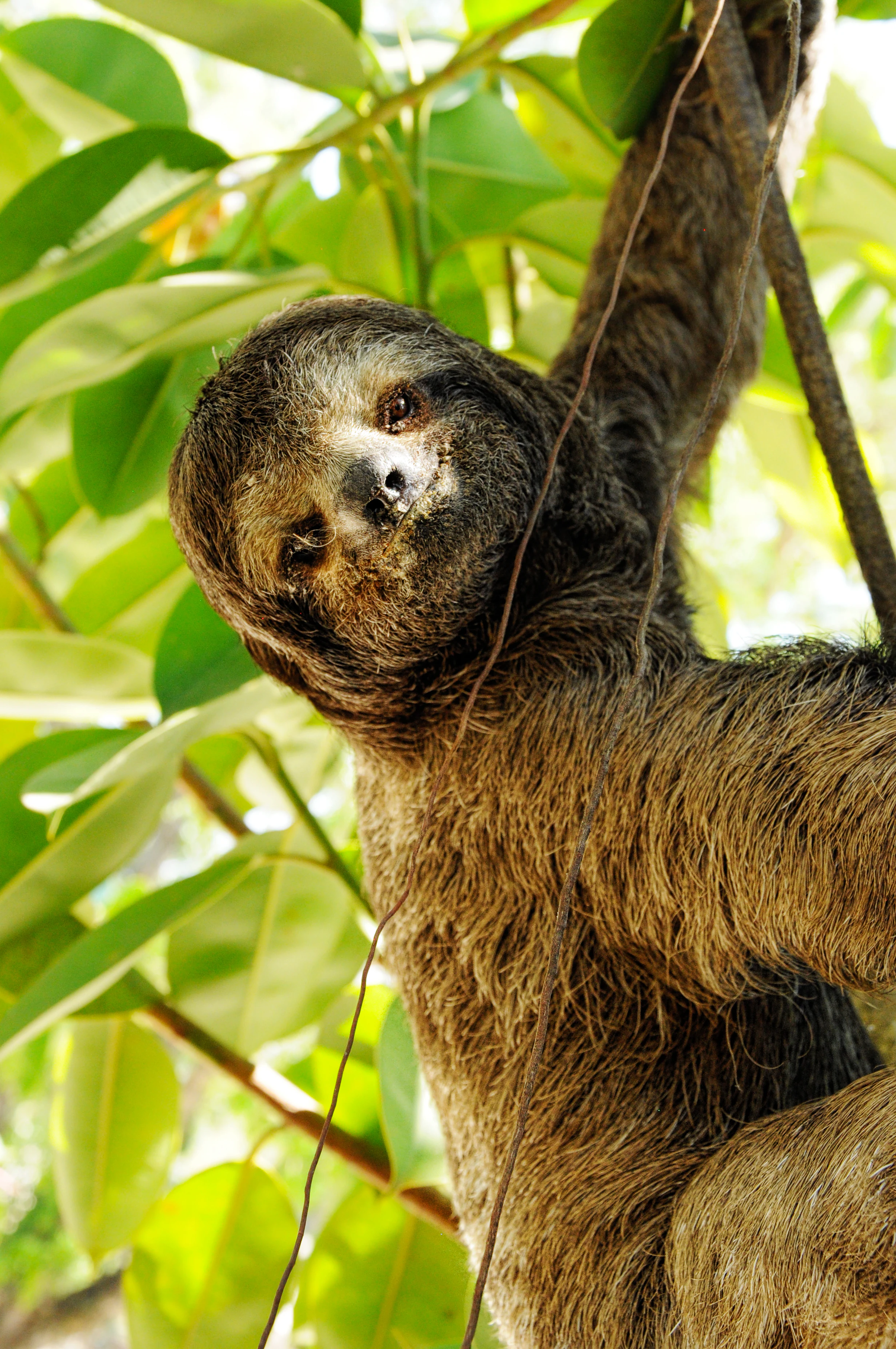
The park supports a diverse community of lowland Bolivian wildlife, taking advantage of the mosaic of forest types, successional vegetation, and proximity to water. Mammals recorded in the area include the urina, or gray brocket deer, multiple primates such as the mono leoncito, mono nocturno, ururó, mono Martín, and mono amarillo, plus mammals such as the zorro patas negras, the three-toed sloth, and the jochi pintado.
These species fulfill important ecological functions such as insect control and seed dispersal, helping to maintain the structure and regeneration of both the dry forest and the riparian woodland. The combination of arboreal mammals, ground-dwelling species, and primates points to a forested environment with relatively intact canopy cover in many parts of the park. Birdlife is also visible along the river corridor, including species such as the loro verde de ala amarilla observed in the park's recreational zones.
Parque de Protección Ecológica del Río Piraí conservation status and protection priorities
The park's central conservation importance lies in its role as a legally protected buffer along a flood-prone river that runs through one of Bolivia's largest metropolitan areas. By keeping development out of the immediate river corridor, the park helps both maintain a continuous band of native vegetation and reduce the exposure of Santa Cruz de la Sierra to catastrophic flooding, making it a key site for integrated water and land management.
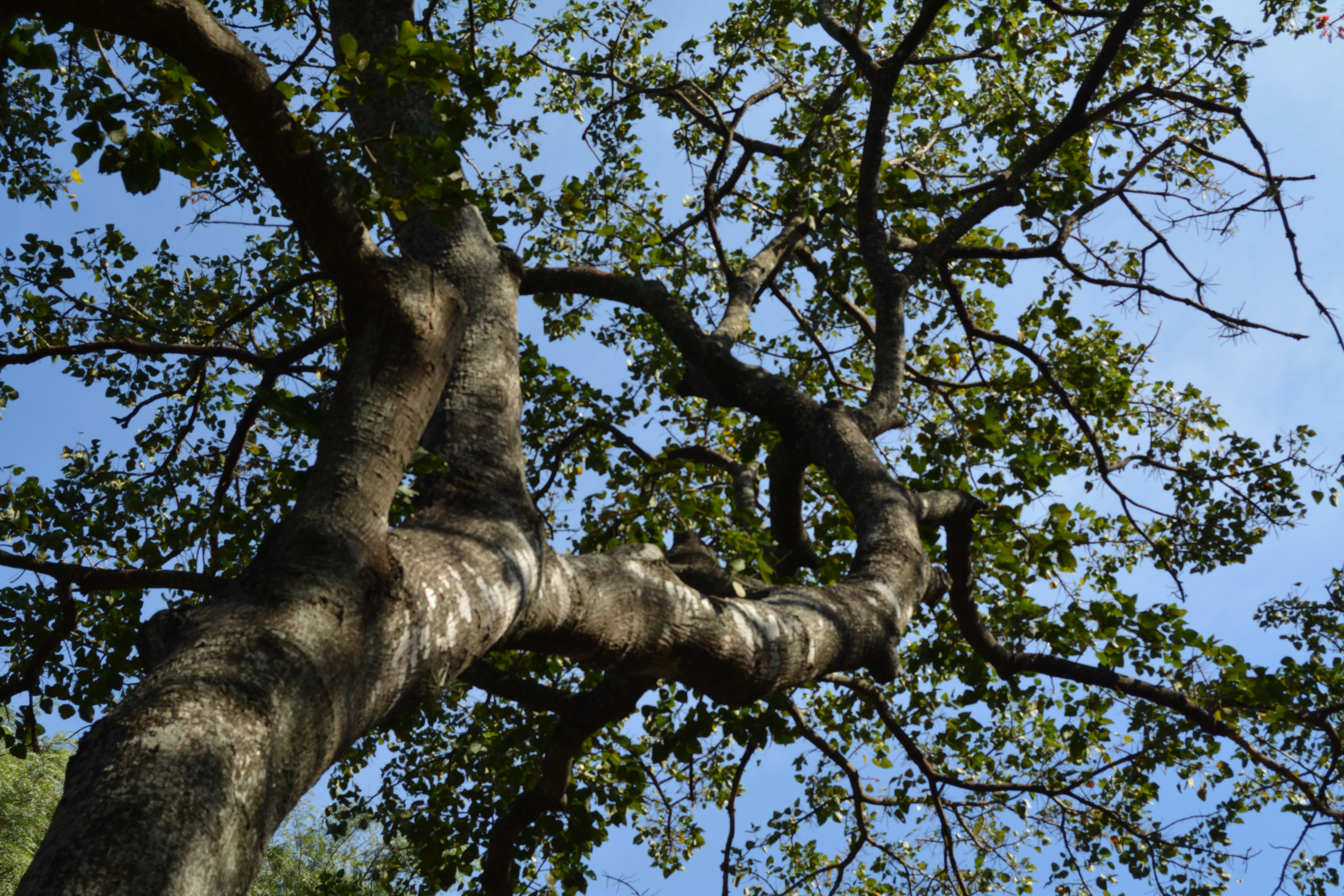
From a biodiversity standpoint, the park conserves a representative sample of Chiquitano dry forest, a globally significant lowland formation, alongside mesophilic alluvial forest and riparian woodland in the same small geographic area. This combination of dry and humid forest types in close proximity is unusual and ecologically valuable, and it supports the full suite of mammals and birds typical of eastern lowland Bolivia.
Conservation effectiveness, however, has been mixed. Although national and municipal laws have repeatedly defined limits, uses, and prohibitions, the park has experienced documented loss of forest cover, driven by sand mining, road building, and informal settlement. The loss of roughly 235 hectares of tree cover between 2001 and 2021 indicates that legal designation alone has not been enough to halt degradation, and the park remains a working example of how urban-adjacent protected areas in Bolivia must navigate competing pressures.
Parque de Protección Ecológica del Río Piraí cultural meaning and human context
The park does not have a strong indigenous or traditional cultural narrative associated with it in the available sources. Its significance is primarily modern and urban, rooted in the relationship between Santa Cruz de la Sierra and the river that periodically threatens it.
That said, the park is deeply woven into the regional identity of Santa Cruz. It functions as a local recreational and ecological space, with entrances such as the Parque Autonómico 4 de Mayo offering accessible green space on the edge of the city. Its protected forests, palms, and riverbanks have become a familiar backdrop for residents, even as the same landscape remains a contested zone of informal settlements and sand extraction linked to the city's construction industry.
Top sights and standout views in Parque de Protección Ecológica del Río Piraí
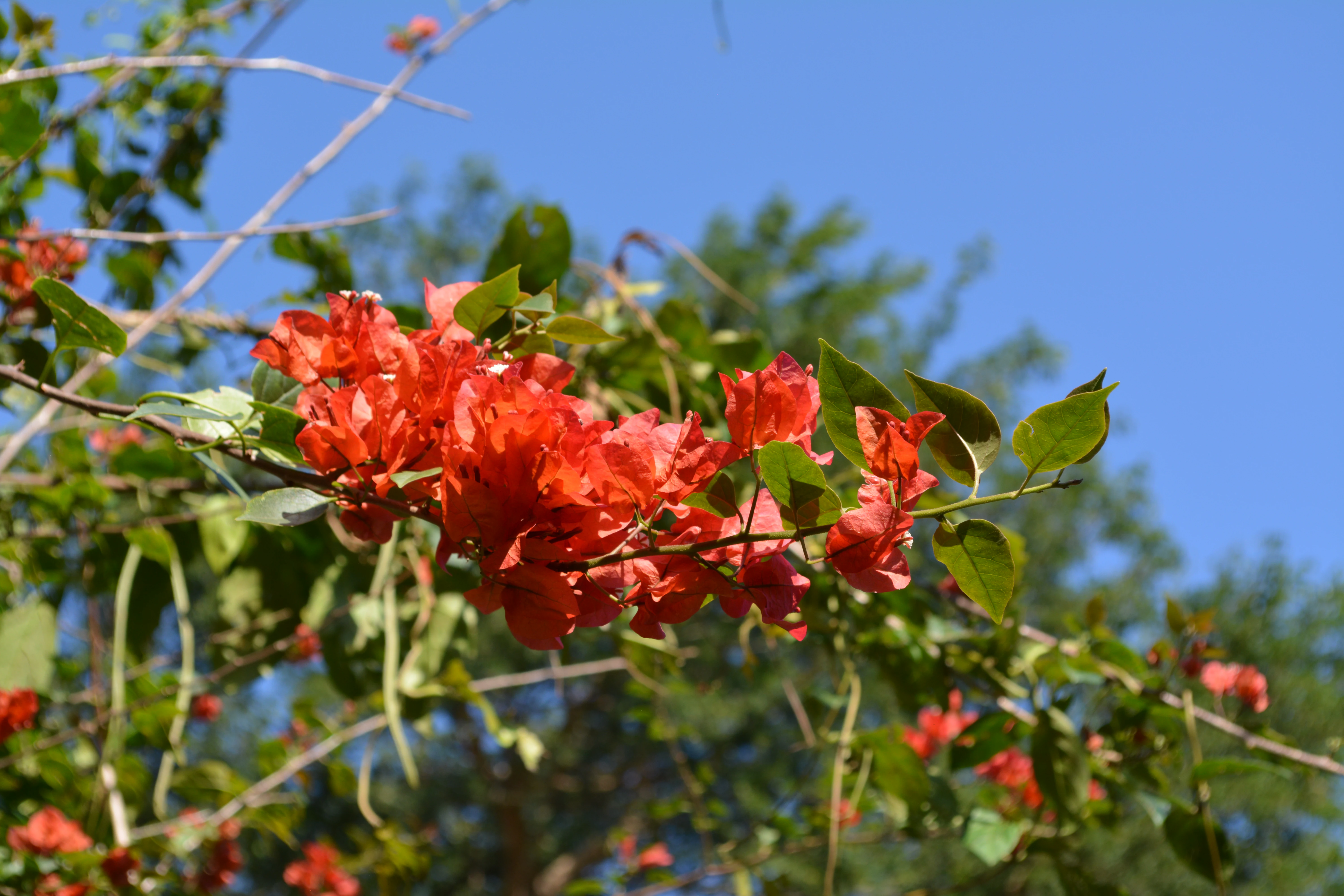
The park's most distinctive features include the dominance of Chiquitano dry forest, the narrow protected corridor along a powerful Andean-fed river, and its unusual role as both a biodiversity reserve and a flood-control zone right next to a major Bolivian city. The mosaic of mesophilic alluvial forest, riparian woodland, and anthropic grassland gives it unexpected ecological richness for a park of its size.
Equally notable is the contrast between its extensive legal framework, including Ley Nacional 2913 and Ley Autonómica Municipal 1434, and the ongoing pressures from urban expansion, sand mining, and informal settlement that continue to alter its landscape.
Best time to visit Parque de Protección Ecológica del Río Piraí
The park sits in a tropical lowland climate where temperatures stay in the comfortable range of roughly 23 to 25 degrees Celsius year-round. Rainfall is concentrated between December and March, which is also the period when the Río Piraí is most likely to flood and when the surrounding forest is at its greenest and most active with wildlife.
The drier months, roughly April through November, generally offer more stable conditions for visiting, with clearer access along the river corridors and recreational zones such as the Parque Autonómico 4 de Mayo. Visitors interested in lush forest scenery and bird activity may prefer the wet season, while those seeking easier walking conditions and lower flood risk may favor the dry months.