
Mori Atlas logo
Protected landscapePfaffenberg

Examining the geology, orchard mosaics, and protected boundaries of a classic German Zeugenberg

Pfaffenberg Protected Landscape: A Geographical Atlas of the Swabian Hill Country

(Landschaftsschutzgebiet „Pfaffenberg“)

Pfaffenberg stands as a prominent Keuper geological outlier in the Tübingen district of Baden-Württemberg. This protected landscape encompasses a forested summit surrounded by a characteristic belt of traditional Streuobst orchards and terraced dry-stone walls. As a quintessential example of Swabian cultural terrain, the area offers insight into regional land use, geological history, and the intersection of wooded highlands with the Neckar valley lowlands.

landscape protection areaZeugenbergKeuper hillsmixed forestStreuobst orchardsdry-stone walls
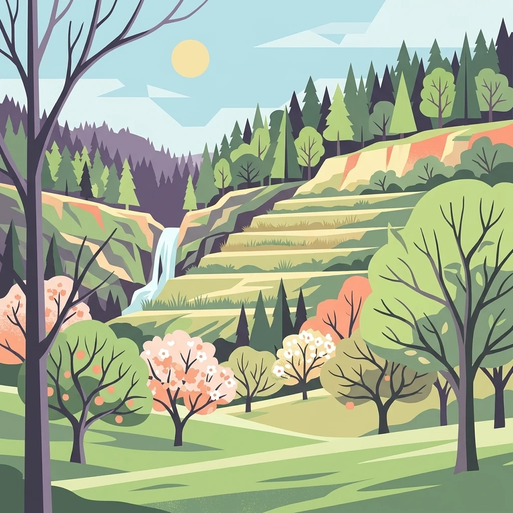
A flat-style digital illustration of a terraced landscape with blooming orchard trees in the foreground, a gentle waterfall in the midground, and a dense evergreen forest covering the hills under a soft sun.

Pfaffenberg

Protected landscape

Park overview

Structured park overview, official facts, and landscape profile for Pfaffenberg Landscape Protection Area

Pfaffenberg Landscape Protection Area park facts, protected area profile, and essential visitor context

Review the core facts for Pfaffenberg Landscape Protection Area, including designation, size, terrain, visitor scale, habitats, and operating context in one park-focused overview.

About Pfaffenberg Landscape Protection Area

The Pfaffenberg Landscape Protection Area is a moderate-sized protected landscape in central Baden-Württemberg, occupying a wooded ridge between the communities of Pfäffingen, Oberndorf, and Wendelsheim. Although the area is modest in size, it captures a great deal of the natural and cultural character for which the Tübingen district is known. Its identity reflects the long interaction between geology, woodland, and agricultural tradition in the foothills north of the Swabian Alb.

At the heart of the protected area is the Pfaffenberg itself, a so-called Zeugenberg, a German term for an outlier or witness hill that stands apart from the main scarp because the surrounding, softer strata have been worn away while the hilltop, capped by the more resistant Keuper sandstone, has remained. This geological background not only defines the silhouette of the hill above the Neckar river but also dictates the soils, drainage, and vegetation patterns that give the site its distinct ecological structure.

Most of the hill is covered by forest, while the woodland edge is bordered by a traditional Streuobst belt of scattered fruit trees and meadow. The Streuobstwiesen of south-western Germany are recognized as an important element of the regional cultural landscape, supporting high biodiversity and preserving historic varieties of apple, pear, cherry, and walnut. In several places the orchards are terraced with dry-stone walls, giving the lower slopes a stepped, human-crafted appearance that contrasts sharply with the rougher wooded summit.

At the foot of the hill lies the Märchensee near Wendelsheim, a former quarry site now designated as a flat natural monument. Although that specific area is excluded from the landscape protection boundary, it sits inside the broader context of Pfaffenberg and forms an important complementary natural feature. The surrounding landscape, including parts of the Spitzberg, the Kochhartgraben, and the Neckar river corridor, is also protected as part of an overlapping FFH site, reinforcing the conservation value of the Pfaffenberg for habitat networks in the region.

Administratively, the landscape protection area was established by the Landratsamt Tübingen on 10 November 1967, following provisional safeguarding on 20 January 1965. A small adjustment of the boundary was made in 1996, when the site was slightly reduced to accommodate the Bebauungsplan "Sportgelände" in Rottenburg-Oberndorf. Today the area is recognized internationally through the World Database on Protected Areas under the ID 323661, and it sits within the broader network of landscape protection areas that characterise the landscapes of the Tübingen district.

Quick facts and research context for Pfaffenberg Landscape Protection Area

Pfaffenberg is a landscape protection area of roughly 3.17 square kilometres located in the Tübingen district of Baden-Württemberg, between the localities of Pfäffingen, Oberndorf, and Wendelsheim. It was formally designated by the Landratsamt Tübingen on 10 November 1967, although the area had already been provisionally secured on 20 January 1965. The protected area is classified as IUCN Category V.

The site overlaps partly with the Natura 2000 FFH area Spitzberg, Pfaffenberg, Kochhartgraben und Neckar and encircles the flat natural monument Märchensee near Wendelsheim. It belongs to the network of landscape protection areas that characterise the landscapes of the Tübingen district, alongside neighbouring sites such as Rammert, Schönbuch, and the Mittleres Neckartal.

Protection and recognition

Examine official records and international recognition data for Pfaffenberg.

Pfaffenberg Protection Status and Documented Protected Area Record

Examine the verified protection status and administrative records linked to Pfaffenberg within the global protected area registry. Reference data outlines the primary conservation designations and historical tracking details for this landscape.

Protection details

WDPA ID
323661
Park context

Deeper park guide and search-rich context for Pfaffenberg Landscape Protection Area

Pfaffenberg Landscape Protection Area history, landscape, wildlife, and travel context

Explore Pfaffenberg Landscape Protection Area through its history, landscape character, ecosystems, wildlife, conservation priorities, cultural context, and seasonal travel timing in a structured park guide built for atlas discovery and search intent.

Why Pfaffenberg Landscape Protection Area stands out

Pfaffenberg is best known for its identity as a classic Keuper-stage Zeugenberg, a hill crowned with mixed forest and ringed by a belt of traditional Streuobst orchards. The combination of woodland, terraced fruit meadows, and dry-stone wall terraces gives the area a distinctive cultural-landscape character that is emblematic of the Swabian Alb foothills and the upper Neckar valley. Visitors and researchers also associate the area with its connection to the Märchensee natural monument and its partial overlap with an FFH (Flora-Fauna-Habitat) site, which together highlight the value of the hill as a refuge for habitats shaped by geology, traditional management, and centuries of regional land use.
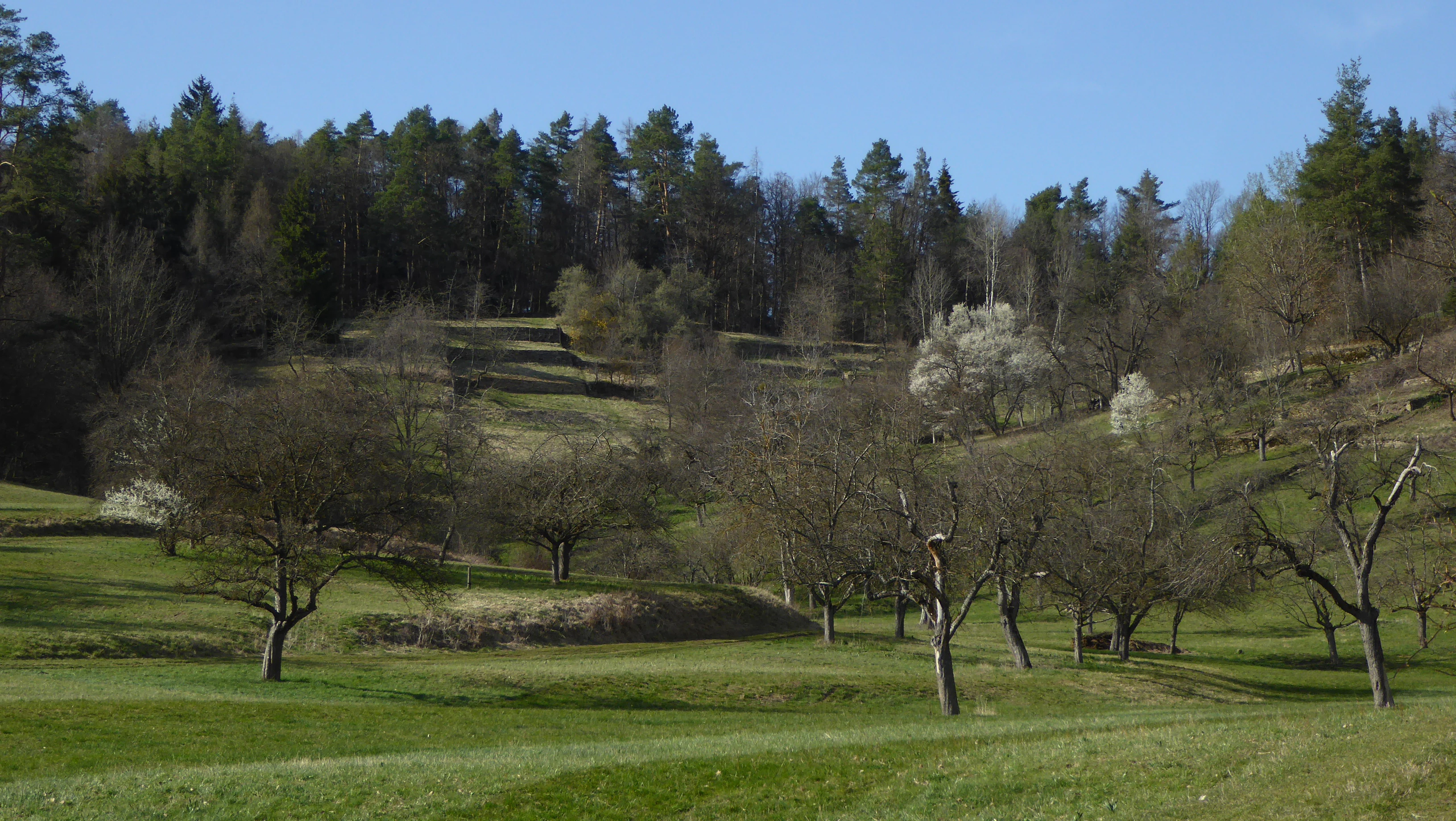
A sloped meadow with scattered orchard trees, some in bloom, backed by a dense forest on a sunny day.
A terraced orchard meadow landscape in the Pfaffenberg region of Germany.

Pfaffenberg Landscape Protection Area history and protected-area timeline

The Pfaffenberg area was first given interim protection on 20 January 1965, when it was provisionally secured by the district authorities. Formal landscape protection followed on 10 November 1967, when the Landratsamt Tübingen issued a formal ordinance designating the site as the Landschaftsschutzgebiet „Pfaffenberg“ under the regional protected-area framework of Baden-Württemberg.

The history of the site reflects long-standing traditions of rural land use, particularly the management of orchards and meadows on the Keuper hills above the Neckar valley. Although the formal protection status is relatively recent compared with the age of the landscape itself, the Streuobst terraces, dry-stone walls, and forest stands it preserves are products of centuries of regional agricultural practice.

In 1996 the protected area was slightly reduced in size. The reason for this adjustment was the development plan Bebauungsplan „Sportgelände" in Rottenburg-Oberndorf, which required a small portion of land to be removed from landscape protection to accommodate local sports infrastructure. Beyond this administrative change, the protected character of the Pfaffenberg has remained substantially intact.

Pfaffenberg Landscape Protection Area landscape and geographic character

The defining physical feature of the protected area is the Pfaffenberg itself, a Zeugenberg of the Keuper geological stage that rises above the surrounding lowlands as an isolated hill. Zeugenberge are classic landforms of the south German cuesta landscape, where harder cap rocks protect the underlying strata while softer layers around them erode more quickly, leaving a residual hill.

The summit and upper slopes of the Pfaffenberg are largely forested, giving the hill a rounded, dark profile against the agricultural land around it. Below the wooded crown, a clear transition zone marks the boundary between forest and open land. Here, the typical Swabian Streuobst orchards spread across the hillside, their scattered standard trees punctuating open meadows and pastures.

Several of the orchards are terraced with carefully constructed dry-stone walls, a cultural landscape feature that reflects both the need to manage steeper ground and a long regional tradition of stoneworking. At the base of the hill, on the edge of Wendelsheim, lies the Märchensee, a former quarry that has since filled with water and developed into a small natural lake and flat natural monument. Although that particular site is excluded from the landscape protection boundary, it forms an important feature of the broader Pfaffenberg landscape and adds a wet, open-water element to an otherwise wooded and orchard-dominated terrain.

Pfaffenberg Landscape Protection Area ecosystems, habitats, and plant life

Ecologically, the Pfaffenberg combines three main habitat types: closed woodland on the hilltop, semi-open Streuobst orchards on the slopes, and surrounding agricultural land at the lower fringes. This mosaic is characteristic of much of the Württemberg countryside and supports a correspondingly diverse range of species, with forest species in the canopy, orchard and meadow species in the lower transitions, and open-country species in the surrounding fields.

The Keuper soils of the Pfaffenberg are moderately acidic and well drained, providing a foundation for mixed deciduous forest that often includes beech and oak as well as coniferous elements typical of the regional low mountain range flora. Beneath the tree cover, the leaf litter and structured woodland soils create conditions for a rich understorey of spring geophytes, ferns, and woodland herbs.

The Streuobst orchards around the woodland edge are widely recognised as one of the most biodiverse anthropogenic habitat types in central Europe. Their old, gnarled fruit trees host cavity-nesting birds, insects, lichens, and bats, while the open ground between the trees supports meadow plants, pollinators, and ground-foraging fauna. Dry-stone walls add additional microhabitats for reptiles, insects, and small mammals. Together, these elements give the Pfaffenberg a layered ecological character that goes well beyond what is typical of a small protected landscape.

Pfaffenberg Landscape Protection Area wildlife and species highlights

Although specific wildlife inventories are not the primary focus of the source material, the habitat structure of the Pfaffenberg points clearly to a rich and varied fauna. The mixed deciduous and coniferous forest canopy offers nesting sites for typical woodland birds, while the dead wood and old trees scattered through the Streuobst orchards create important refuges for cavity-nesting species and bats.

The dry-stone walls and terraced orchard edges are valuable habitats for reptiles, particularly for wall lizards and slow worms, as well as for numerous insect groups, including pollinators that depend on the meadow flora. The surrounding agricultural land at the base of the hill provides additional foraging habitat for birds of prey and smaller farmland species.

The ecological value of the area is reinforced by its overlap with the FFH area Spitzberg, Pfaffenberg, Kochhartgraben und Neckar, which confirms the site's importance at the European habitat level. Wildlife patterns in the Pfaffenberg likely share many features with other Zeugenberg landscapes of the region, where woodland, orchard, and dry grassland combine to support a particularly high density of species within a relatively small area.

Pfaffenberg Landscape Protection Area conservation status and protection priorities

The Pfaffenberg is protected as a landscape protection area under the Baden-Württemberg protected-area framework, formally designated by the Landratsamt Tübingen on 10 November 1967. Under international classification it is listed as an IUCN Category V Protected Landscape/Seascape, recognising that its value lies in a harmonious combination of natural environment and traditional cultural landscape rather than in any single strict reserve.

The conservation significance of the Pfaffenberg rests on the interplay between its geological foundation, its woodland cover, and the long-maintained Streuobst orchards. By protecting these elements together, the designation aims to maintain the mosaic of forest, orchard, meadow, and dry-stone wall that characterises the Swabian foothills. The site's overlap with the Natura 2000 FFH area Spitzberg, Pfaffenberg, Kochhartgraben und Neckar strengthens its conservation profile, since that European-level designation protects specific habitat types and species of community interest.

In conservation practice, the protection of the Pfaffenberg also helps safeguard habitat connectivity between the wooded hill landscape and the Neckar river corridor. Although small reductions in the protected area occurred in 1996 to allow the development of a sports facility in Rottenburg-Oberndorf, the core landscape mosaic has been preserved, and the area continues to function as a representative example of traditional Württemberg countryside under formal protection.

Pfaffenberg Landscape Protection Area cultural meaning and human context

The cultural landscape of the Pfaffenberg reflects centuries of agricultural practice in the Württemberg region. The Streuobst orchards that wrap around the wooded hill are a hallmark of the south-western German countryside and have long played a role in supplying fruit for households, providing cider and juice, and sustaining local food traditions. Many of the standard trees in use today are descended from old regional cultivars that would otherwise be lost.

The terraced orchards supported by dry-stone walls speak to a tradition of stoneworking and land shaping that took advantage of the steeper Keuper slopes while also reducing soil erosion. These walls, built without mortar and maintained over generations, are as much a part of the area's identity as the trees themselves.

The Märchensee, a former quarry filled with water and now a flat natural monument, reflects a different strand of the local cultural relationship with the landscape: the long history of stone quarrying in the Swabian Alb foothills. Although the quarry itself is excluded from the landscape protection area, it remains an important local landmark and a popular destination for visitors interested in the area's natural and industrial heritage.

Top sights and standout views in Pfaffenberg Landscape Protection Area

The Pfaffenberg offers a compact but exceptionally characteristic slice of the Swabian hills north of the Neckar, where geology, woodland, and traditional orchards combine in a single protected landscape. Among its most notable features are the Zeugenberg profile of the Pfaffenberg itself, the surrounding Streuobst orchards with their dry-stone terraces, and the excluded but closely associated Märchensee natural monument at the base of the hill.

Additional value comes from the site's integration into a wider conservation network: it overlaps with the FFH area Spitzberg, Pfaffenberg, Kochhartgraben und Neckar, and sits among several neighbouring landscape protection areas in the Tübingen district, including the much larger Schönbuch and the Mittleres Neckartal. Together with the formal IUCN Category V designation, this network reinforces the role of the Pfaffenberg as a small but meaningful contributor to regional habitat connectivity and cultural landscape preservation.

Best time to visit Pfaffenberg Landscape Protection Area

The Pfaffenberg can be visited throughout the year, but the experience of the landscape shifts notably with the seasons. In spring, the woodland understorey comes alive with flowering geophytes and the orchard meadows are at their freshest, making the boundary between forest and orchard particularly striking. Late spring and early summer are also prime periods for observing the diversity of meadow flora in the Streuobst zone.

In summer, the orchards provide a distinctive atmosphere of scattered shade and open pasture, while the forested hilltop offers cooler, sheltered conditions. Autumn is a particularly atmospheric time on the Pfaffenberg, when traditional orchards become productive landscapes and the leaves of the broadleaf components of the forest change colour. In winter, the bare trees open up views of the dry-stone wall terraces and the overall Zeugenberg profile of the hill, allowing the geological character of the landscape to stand out more clearly.

Monthly climate preview

Long-term representative monthly averages for elevation 556 meters in Baden-Württemberg

Pfaffenberg Climate Normals, Annual Temperature and Precipitation Rhythm

Historical NASA POWER records trace Pfaffenberg weather by month through measured extremes spanning subzero averages to warm summer peaks alongside steady daily precipitation. Examining the complete twelve-month profile reveals detailed baseline climate normals across the protected landscape coordinate.
Annual mean8 °C
-1 °C18 °C
Jan-1°
Feb
Mar
Apr
May12°
Jun16°
Jul18°
Aug18°
Sep14°
Oct
Nov
Dec
Warmest month
July

18.1 °C

Coolest month
January

-0.9 °C

Wettest month
July

3.1 mm/day

Driest month
April

1.9 mm/day

Park location guide

Geography guide, regional context, and park location map for Pfaffenberg Landscape Protection Area

Pfaffenberg Landscape Protection Area park geography, regions, and map view in Germany

Understand where Pfaffenberg Landscape Protection Area sits in Germany through a broader geographic reading of the surrounding landscape, nearby location context, and its mapped position within the national park landscape.

How Pfaffenberg Landscape Protection Area fits into Germany

Germany is a federal republic in Western and Central Europe with a population of over 83 million across sixteen constituent states. It is Europe's largest economy by nominal GDP and a major global exporter and importer. The capital is Berlin, and the country borders Denmark, Poland, Czech Republic, Austria, Switzerland, France, Luxembourg, Belgium, and the Netherlands.

Wider geography shaping Pfaffenberg Landscape Protection Area in Germany

Germany is located in Western and Central Europe, spanning 357,022 km². It borders Denmark to the north, Poland and the Czech Republic to the east, Austria and Switzerland to the south, and France, Luxembourg, Belgium, and the Netherlands to the west. The country has coastlines on the Baltic Sea and North Sea to the north, with the Alps located in the southern region.

Map view of Pfaffenberg Landscape Protection Area

Use this park location map to pinpoint Pfaffenberg Landscape Protection Area in Germany, understand its exact geographic position, and read its mapped placement within the surrounding landscape more clearly.

Pigeon | © OpenStreetMap contributors

Location context for Pfaffenberg Landscape Protection Area

Baden-Württemberg

Examine the forested Zeugenberg slopes, terraced orchards, and distinctive terrain features of Pfaffenberg.

Pfaffenberg Landscape Photos and Scenery: Visualizing the Protected Area

Visual records illustrate the rugged Keuper geology and traditional orchard belts that define the protected landscape of Pfaffenberg. Detailed imagery reveals the complex mosaic of mixed forest and dry stone wall terraces shaping the regional terrain.

A sloped meadow with scattered orchard trees, some in bloom, backed by a dense forest on a sunny day.

Park atlas

Compare regional protected areas and connected Swabian hill habitats

Explore Other Parks Near Pfaffenberg and Surrounding Protected Landscapes

Browse nearby national parks and protected areas to compare geological features, forest belts, and traditional orchard terrain. Expanding the geographic view reveals how protected landscapes connect across the upper Neckar valley and surrounding regional terrain.
Protected landscapeBaden-Württemberg
About 2.4 km away#1 closest

Northwest

Oberes Ammertal mit dem Seitental Merkental Protected Landscape and Regional Map Context

Baden-Württemberg protected valley and limestone terrain

Situated in the Schönbuch and Glemswald region, this protected area safeguards the upper Ammer valley's meadow floodplains and botanical limestone slopes. It represents a significant mosaic of habitat types; including dry grassland and small quarry-fed water bodies; that maintain the ecological integrity of the local southwestern German geography.

Area
0.202 km²
Established
1982
IUCN
V
Protected landscapeBaden-Württemberg
About 3.3 km away#2 closest

East

Unteres Ammertal Protected Landscape: Regional Geography and Valley Maps

A structured cultural valley in Baden-Württemberg

Unteres Ammertal serves as a critical example of a managed agricultural landscape near Tübingen. This protected area preserves a rich variety of wet meadows, hedgerows, and river channels, offering insights into the complex land-use patterns of the Swabian foothills and the broader ecology of the Neckar basin.

Area
3.479 km²
Established
1999
IUCN
V
Relief
Lowland
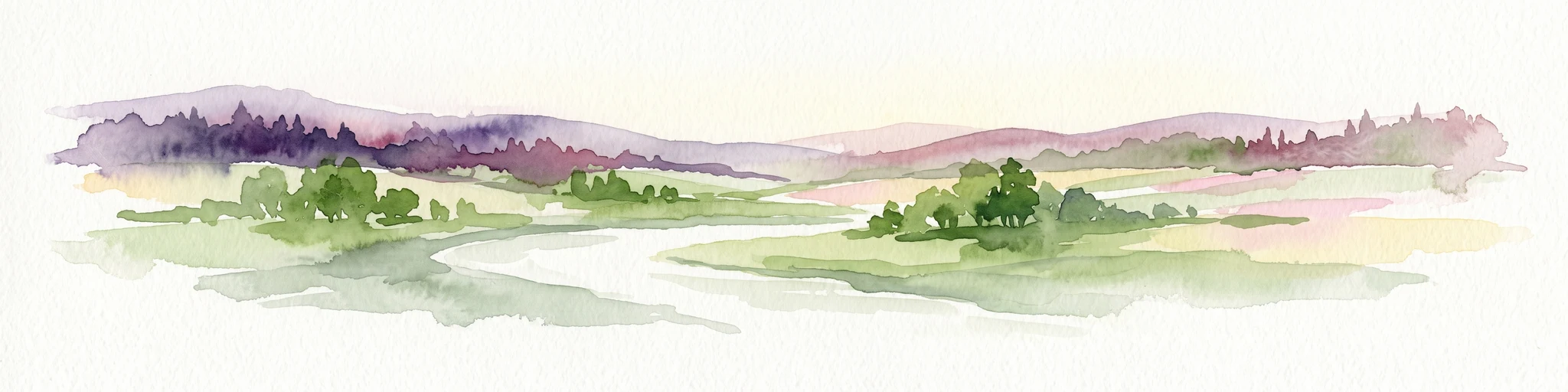
A watercolor painting showing a wide view of a winding river flowing through a lush green valley with distant purple hills and forested ridges.
Protected landscapeLandkreis Tübingen
About 11 km away#3 closest

Southwest

Oberes Neckartal mit den Seitentälern Rommelstal, Starzeltal und Eyachtal Protected Landscape

Geographic landscape analysis of the upper Neckar river valley and its forested tributaries.

Situated within Landkreis Tübingen, this protected landscape is defined by its distinct Muschelkalk geology and the interplay between deep valley slopes and open orchard meadows. The area encompasses the upper Neckar river valley along with the side valleys of Rommelstal, Starzeltal, and Eyachtal. This detailed landscape profile provides insight into the structured natural environment, forest coverage, and fluvial terrain that characterize this region of southwestern Germany.

Area
23.364 km²
Established
1981
IUCN
V
Relief
Upland
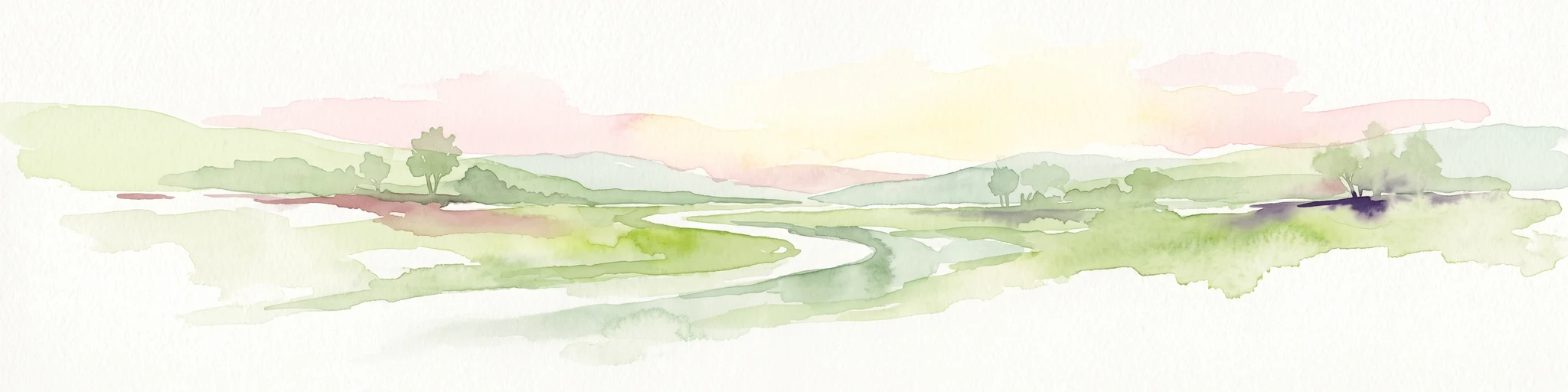
A soft, impressionistic watercolor painting depicting a meandering river flowing through a green landscape with rolling hills and scattered trees, rendered in light pastels.
Protected landscapeBaden-Württemberg
About 14 km away#4 closest

East

Mittleres Neckartal Protected Landscape and Neckar Valley Geographic Atlas

Regional protected area analysis in Baden-Württemberg

Analyze the Mittleres Neckartal, a significant landscape protection area defined by its open floodplain, intensive agriculture, and river corridor features. This record provides a clear look at the valley's spatial extent, from its gravel-pit lakes to the regional transport links shaping this working landscape within southern Germany.

Area
5.318 km²
IUCN
V
Relief
Lowland
Water
Major water bodies
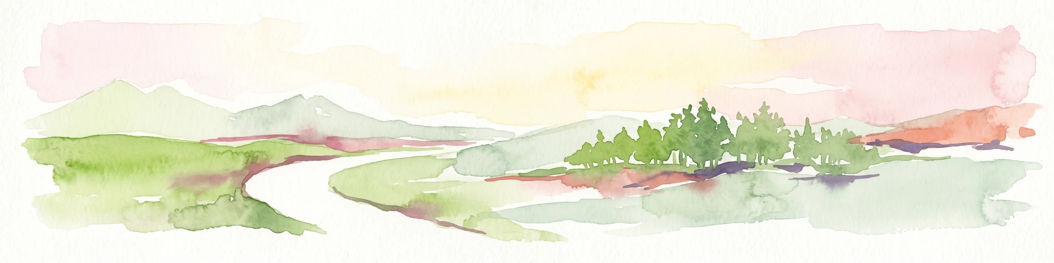
Watercolor painting of a green valley with a winding river and a small group of trees under a light sky.
Protected landscapeZollernalbkreis
About 16 km away#5 closest

South

Mittleres Starzeltal Protected Landscape: Mapping the Geography of the Zollernalbkreis District

A detailed look at the Starzel river valley and forest mosaic.

The Mittleres Starzeltal protected landscape represents a significant river corridor in the Zollernalbkreis district. This area spans through Hechingen and Bisingen, characterized by its traditional orchard meadows and dense forest slopes that frame the middle Starzel valley. Explore the boundaries and topographic features that define this protected territory within the Swabian Alb conservation network.

Area
12.454 km²
Established
1963
IUCN
V
Relief
Upland
Protected landscapeBaden-Württemberg
About 17 km away#6 closest

Northeast

Ghägnet östlich dem Waldteil Häselhau mit Umgebung: Landscape and Geography Overview

Protected orchard meadows in the Böblingen district of Germany.

This protected landscape in Baden-Württemberg spans 3.1 hectares of Jurassic slope loam soils. It is recognized for its traditional Swabian orchard meadows and wet grassland vegetation, functioning as an ecological corridor adjacent to the Hochberg protected area within the greater Schönbuch forest zone.

Area
0.031 km²
Established
1974
IUCN
V
Protected landscapeBaden-Wuerttemberg
About 18 km away#7 closest

Northeast

Hangflächen um die Pfefferburg: A Protected Landscape in Baden-Württemberg

Orchard meadows, hillside terrain, and local geography.

Hangflächen um die Pfefferburg forms a compact protected landscape defined by its southern-facing orchard meadows and moisture-rich spring zones. Located near Schönaich, the area preserves traditional land-use patterns on a diverse hillside, connecting regional protected zones within the broader geography of the Böblingen district.

Area
0.252 km²
Established
1974
IUCN
V
Relief
Upland
Protected landscapeBaden-Württemberg
About 21 km away#8 closest

West

Südhänge des Neckartales, Berghänge des Haugenloches, Alte Bildechinger Steige, Altheimer Tal und angrenzende Hochflächen

Protected Landscape in the Upper Neckar Valley, Baden-Württemberg

This protected area preserves a mosaic of forested slopes, juniper heaths, and agricultural plateaus along the Neckar. It offers a clear view into the cultural history and regional geography of the Obere Gäue in southwestern Germany.

Area
2.62 km²
Established
1965
IUCN
V

Common questions about visiting, size, designation, and location context for Pfaffenberg Landscape Protection Area

Pfaffenberg Landscape Protection Area FAQs for park facts, access, geography, and protected area context

Find quick answers about Pfaffenberg Landscape Protection Area, including protected-area facts, park geography, trail and visitor context, and how the park fits into its surrounding country and regional landscape.
MoriAtlas Explorer

Continue Your Protected Areas Search Across the Global Atlas

Deepen your exploration by continuing the structured search for national parks and protected areas worldwide. Utilize the comprehensive filtering capabilities to compare different conservation landscapes and refine your understanding of global park geography. Discover more about the distribution and characteristics of protected natural areas.

Global natural geography