
Mori Atlas logo
Park earthquake history

Explore a chronological collection of recorded seismic events associated with the North Platte River corridor.

Historical Earthquake Records and Seismic Activity Near Platte River Wilderness, Wyoming

This catalogue presents historical earthquake data points recorded near the geographic boundaries of Platte River Wilderness. Each entry provides event context, including date, magnitude, and depth, derived from seismic records associated by proximity to this Wyoming wilderness area. Explore the record of historical seismic activity to understand the frequency and characteristics of events surrounding the North Platte River corridor and the surrounding mountain landscape.

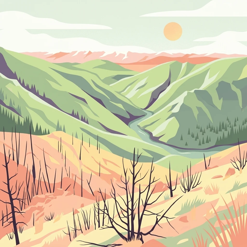
An illustration showing a landscape with a river winding through green hills, with a foreground of burnt-looking skeletal trees, orange grassy terrain, and a pale sun in the sky.

A rugged river canyon wilderness straddling the Wyoming-Colorado border, where the North Platte slices through conifer forests and canyon country.

Platte River Wilderness

Platte River Wilderness is a federally designated wilderness area in the mountains of southern Wyoming and northern Colorado, managed by the U.S. Forest Service as part of the larger Medicine Bow-Routt National Forest system. The wilderness follows the upper North Platte River corridor, a region defined by deep canyon terrain, pine and spruce forests, and the rocky gorge of Northgate Canyon. Although it spans only about 23,492 acres, the area concentrates a remarkable variety of mountain river scenery into a relatively compact borderland unit. The wilderness was designated in 1984 through the Wyoming Wilderness Act, bringing formal federal protection to a long-recognized stretch of the North Platte's headwaters landscape. It is administered jointly across two national forests, with most of the area inside Medicine Bow National Forest in Wyoming and a small parcel within Routt National Forest in Colorado. This cross-border setting gives the wilderness a transitional character between the Medicine Bow Range and the Park Range of Colorado. Platte River Wilderness is best known today for its combination of wild river corridors, conifer forest landscapes, and recreational river-running, as well as for the dramatic ecological transformation caused by the 2020 Mullen Fire. The fire reshaped much of the forest cover, but also created the mosaic habitat conditions that now support strong populations of elk, mule deer, and bighorn sheep across the burn scar.

Location
United States of America
Park type
Wildlife reserve
Established
1984
Area
95.1 km²
Platte River Wilderness Atlas

Explore Platte River Wilderness events by distance

Review documented earthquakes around Platte River Wilderness

Platte River Wilderness protects 95.07 km² of United States alpine mountains, valleys, forest, and river landscape. Its earthquake catalogue makes regional observations traceable by time, reported strength, focal depth, epicentre label, and park distance, but inclusion should not be confused with evidence of an in-boundary event, environmental impact, or forecast.

Sort by
Magnitude
Location

This page describes catalogued earthquakes associated with the park by epicentre location and distance. It does not establish causation, assess current danger, or predict future earthquakes.

No earthquake records match the current filters

Park atlas

Continue outward from Platte River Wilderness earthquake history

Browse other parks after Platte River Wilderness

Following the Platte River Wilderness earthquake data, an independent destination group offers a new route through the protected atlas. Its parks are not claimed to share river environments, wilderness designation, geography, geology, proximity, earthquake information, seismic conditions, hazards, risk, or an equivalent level of source material.
A horizontal watercolor painting showing a range of purple and reddish-toned mountains in the distance, behind rolling green fields and a pale pinkish waterway in the foreground.
Protected landscapeColorado
12 km away#1 closest

Southeast

Roosevelt National Forest: Mapping Wilderness and Protected Landscapes in Northern Colorado

Regional geography, river corridors, and alpine mountain terrain

Roosevelt National Forest encompasses a significant protected landscape across Larimer, Boulder, Gilpin, and Jefferson counties. The forest features a complex terrain of deep canyons, forested plateaus, and protected wilderness areas that form a scenic buffer along the eastern side of the Continental Divide and Rocky Mountain National Park.

Area
3,293.33 km²
Established
1902
Relief
Mountain
Climate
Subpolar
A watercolor illustration of a mountain range with soft, pastel-colored peaks in the background and a green treeline in the foreground.
Wildlife reserveColorado
22 km away#2 closest

Southwest

Mount Zirkel Wilderness: Protected Mountain Geography and Forested Landscape Overview

A study of high elevation terrain in the Colorado Rocky Mountains.

Mount Zirkel Wilderness stands as a primary protected area within the Colorado Rocky Mountains. The landscape is defined by the Encampment River headwaters, glaciated alpine basins, and the characteristic ribbon forests formed by extreme snowfall. This analysis explores the metamorphic bedrock and forest composition across the high ridges near the Continental Divide, providing a clear view of the park boundaries and regional environmental features.

Area
647.23 km²
Established
1980
IUCN
Ib
Relief
Mountain
Wildlife reserveWyoming
25 km away#3 closest

West

Encampment River Wilderness: Protected River Canyon Geography and Mapped Terrain

A focused wilderness landscape in the Medicine Bow National Forest

The Encampment River Wilderness preserves a unique, roadless canyon corridor in south central Wyoming. By protecting the river drainage, it maintains a critical forest ecosystem defined by steep slopes and riparian habitats within the broader Medicine Bow National Forest mountain range.

Area
40.97 km²
Established
1984
IUCN
Ib
Relief
Mountain
Protected areaWyoming
35 km away#4 closest

West

Huston Park Wilderness: Atlas Exploration of Wyoming Protected Mountain Terrain

Examining the high-country forest and alpine geography of the Medicine Bow region.

Huston Park Wilderness serves as a protected sanctuary for the coniferous forests and rocky ridges of central Wyoming. This atlas entry provides geographic insights into its 30,000 acres of subalpine wilderness, tracing how its mountain terrain remains preserved within the Medicine Bow National Forest without human development.

Area
123.79 km²
Established
1984
IUCN
Ib
Relief
Mountain
A horizontal watercolor painting showing a soft mountain range in the distance, a midground forest, and a foreground area suggesting marshy ground or a meadow.
Wildlife reserveColorado
67 km away#5 closest

Southeast

Never Summer Wilderness: Protected Mountain Geography and Alpine Terrain in Colorado

High-altitude wilderness along the Continental Divide

Spanning over 21,000 acres, the Never Summer Wilderness defines a critical segment of the Colorado Rockies. This protected area features a jagged skyline of 12,000-foot summits, extensive alpine tundra, and the remarkable old-growth spruce and fir forests of Bowen Gulch. Use these maps to understand its role as a vital headwater landscape and its position as a sanctuary for alpine wildlife and ecosystems.

Area
85.3 km²
Established
1980
IUCN
Ib
Relief
Mountain
National parkColorado
68 km away#6 closest

Southeast

Rocky Mountain National Park: National Park Protected Landscape in Colorado

Explore its mapped boundaries and regional geographic context.

Rocky Mountain National Park is a designated National Park within Colorado, crucial for understanding the distribution and geographic context of protected areas in the United States. This detail page provides an atlas-oriented perspective, emphasizing the park's mapped boundaries and its place within the natural landscape of the region. It is designed to facilitate a clear understanding of the park's protected status and its contribution to the atlas of natural landscapes, offering factual insights for geographic discovery.

Area
1,074.28 km²
Established
1915
IUCN
II
Visitors
4.2M annual
Protected landscapeGrand County
91 km away#7 closest

Southeast

Arapaho National Recreation Area: Geographic Profile and Protected Landscape Context

High-country mountain reservoirs and forested mountain terrain

The Arapaho National Recreation Area defines a unique intersection of montane forest and water-based geography in Grand County, Colorado. As the home to the Great Lakes of Colorado, this protected landscape provides a critical connection point between the Colorado River headwaters and the Continental Divide. Examine the park's terrain, reservoir distribution, and its role as a forested gateway to the neighboring mountain regions.

Area
124.2 km²
Established
1978
Relief
Mountain
Climate
Alpine
A watercolor painting of a mountain landscape featuring a small lake, grassy slopes, and conifer trees with a prominent rocky peak in the distance.
Wildlife reserveColorado
101 km away#8 closest

Southeast

Indian Peaks Wilderness: Alpine Geography and Front Range Protected Landscapes

Mapping high country summits and glacial basins in Colorado

Indian Peaks Wilderness stands as a signature wildlife reserve along the Colorado Continental Divide. This atlas entry focuses on its complex system of thirteen-thousand-foot peaks, relict glaciers, and interconnected alpine lakes that define the Front Range. Gain insight into the protected boundaries and glacial geomorphology that characterize this high-country landscape near the Denver metropolitan region.

Area
310.44 km²
Established
1978
IUCN
Ib
Relief
Mountain
MoriAtlas Explorer

Explore the Geographic Boundaries of Platte River Wilderness

Navigate the rugged canyons and forested corridors of Platte River Wilderness. Use these MoriAtlas datasets to analyze the park's river-driven topography, its transitional mountain setting, and the unique ecological patterns defining this protected area within the southern Rocky Mountains.

Global natural geography