
Mori Atlas logo
Park guides

A structured repository of published insights for navigating the northern Ontario wilderness.

Pukaskwa National Park Comprehensive Guide Index: Planning and Seasonal Exploration Resources

This resource provides access to all available planning materials for Pukaskwa National Park, covering key environmental and seasonal considerations. Explore specialized guides designed to assist with navigation across the boreal forest, rocky headlands, and the expansive Great Lakes shoreline.

Related tags

Boreal forestLake Superior coastlineBackcountry hikingRemote wildernessGreat Lakes protection

Boreal wilderness along Lake Superior's longest undeveloped shoreline

Pukaskwa National Park

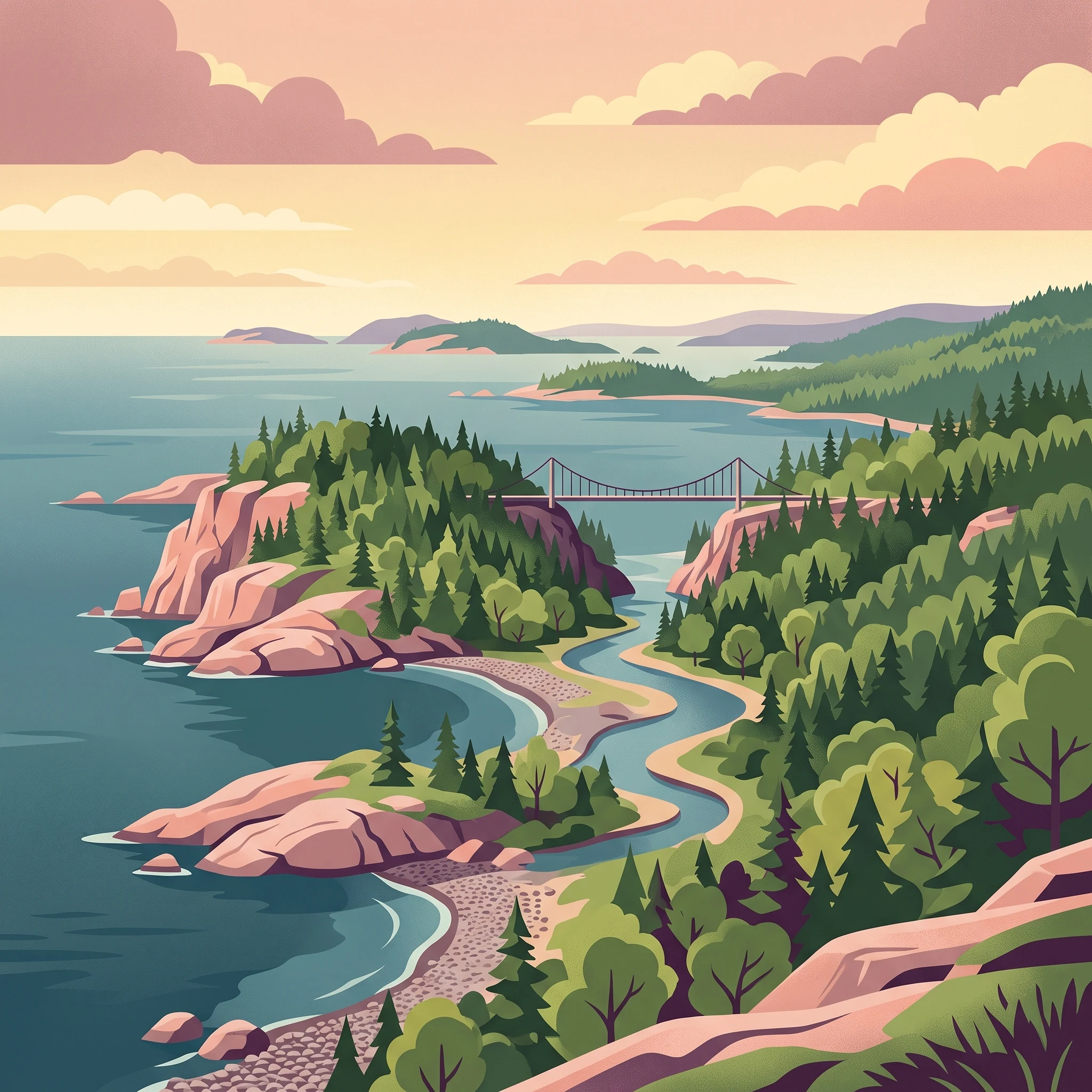
Pukaskwa National Park occupies a striking position along the north shore of Lake Superior in northern Ontario, roughly 150 kilometres east of Thunder Bay. The park was established in 1978 and remains one of Canada's less-visited national parks, appealing to those seeking genuine wilderness isolation rather than accessible nature tourism. The terrain is characterized by ancient Precambrian bedrock sculpted by glacial activity, creating a landscape of rounded hills, rocky ridges, and spectacular cliff faces that drop directly into Lake Superior. The park protects headland ecosystems, sheltered harbours like Picture Rock Harbour, and the river systems that drain the boreal uplands into the lake. The name Pukaskwa carries cultural significance, with the Ojibway and Cree nations maintaining that Pukasu represents the correct spelling, referring to a traditional method of cooking marrow from animal bones over open fires. The park's remoteness is its defining characteristic: there is no road access to the interior, and visitors must be prepared for self-sufficient backcountry travel or paddle the coastal waters.

Location
Canada
Park type
National park
Established
1978
Area
1,878 km²
Highest point
641 m
Pukaskwa National Park Protected Landscape
1 guide

Compare available reference materials for seasonal timing and coastal exploration

Pukaskwa National Park Published Guides And Seasonal Planning Resources

Published guides for Pukaskwa National Park provide focused reference material addressing key visitor questions about seasonal timing, weather fluctuations, and coastal routes. Detailed coverage helps travelers evaluate optimal summer months and shoulder periods before planning backcountry excursions.
MoriAtlas Explorer

Continue Exploring Pukaskwa National Park's Geographic and Protected Landscape Context

Delve deeper into the atlas and map context of Pukaskwa National Park. Understanding its specific protected area identity, landscape features, and precise geographic location within Thunder Bay District provides a solid foundation for appreciating its role in Canada's natural heritage. Continue your exploration to uncover more about the mapped terrain and regional geographic significance of this important national park.