
Why Quellbereich der Osterkalle stands out
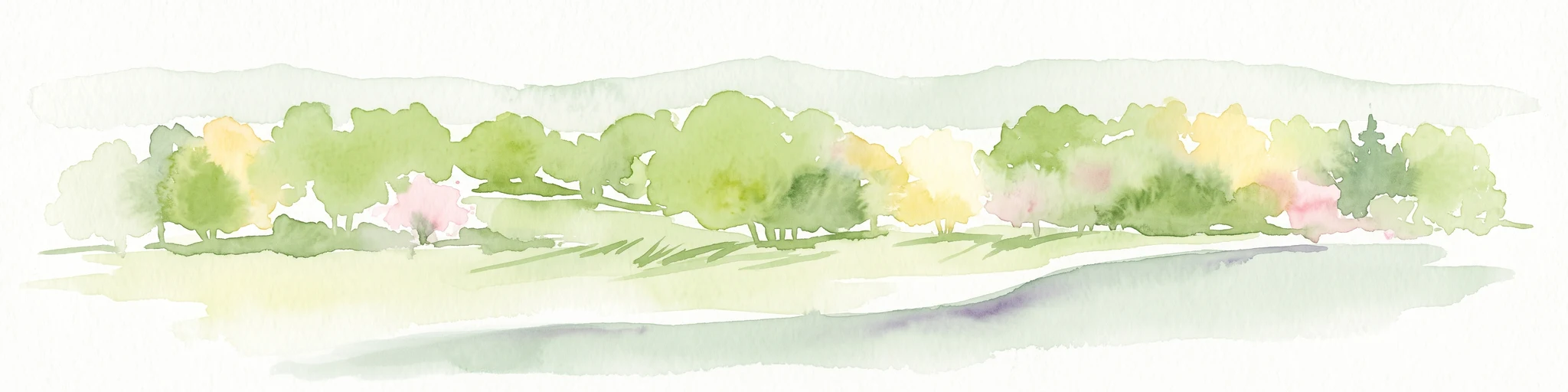
The reserve is best known for protecting a typical small Kastental, a box-shaped stream valley, with a near-natural spring-fed brook, riparian woodland, wet meadows, ponds, and extensively managed grasslands along the slopes of the Osterkalle.
Quellbereich der Osterkalle landscape and geographic character
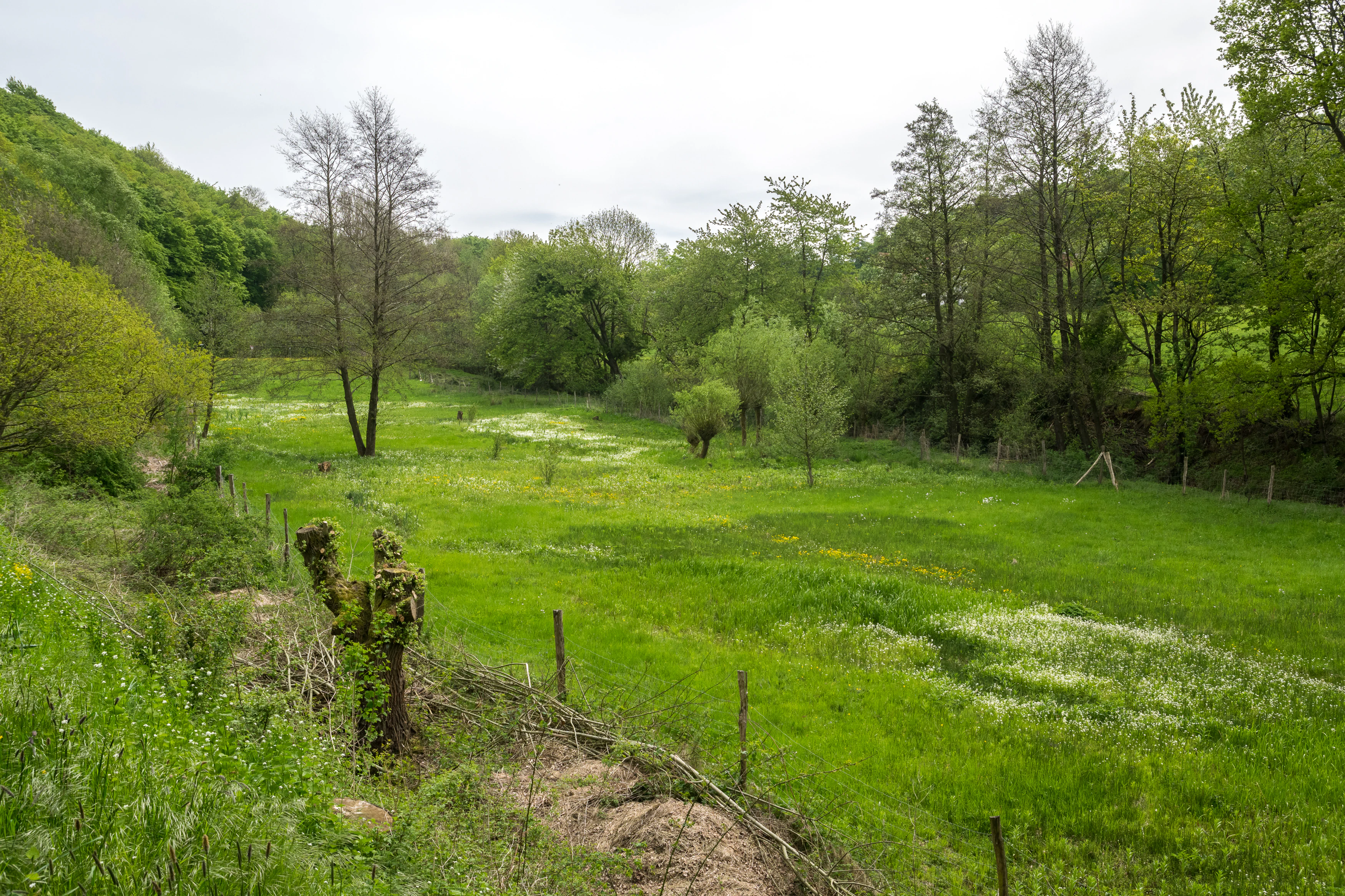
The defining landform of Quellbereich der Osterkalle is a Kastental, a roughly box-shaped valley with relatively steep sides and a flat, narrow floor. This valley profile is characteristic of small stream incisions in the Lippe uplands and concentrates moisture and ecological gradients along a narrow band of terrain.
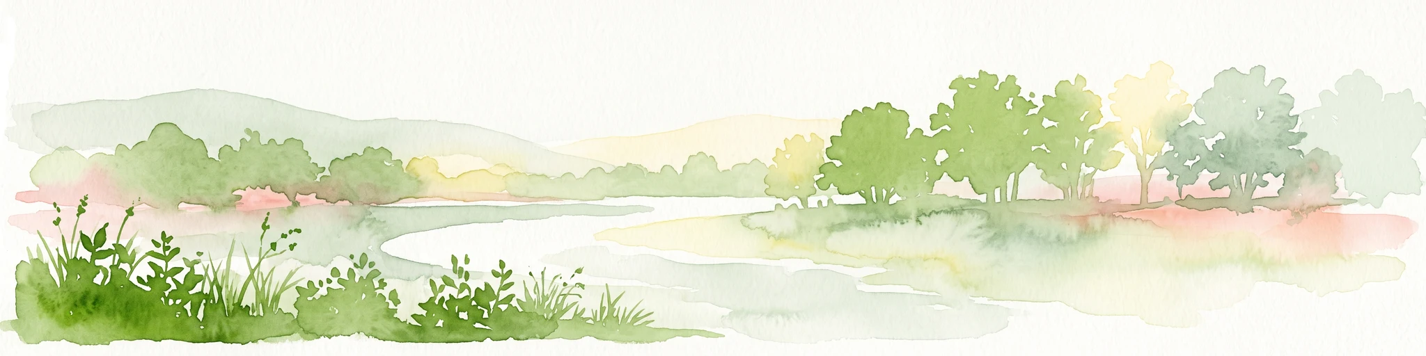
At the bottom of this valley runs the Osterkalle, a small spring-fed brook whose upper reaches form the core of the reserve. The stream course is described as near-natural, meaning it retains a largely unchanneled, meandering pattern with natural bank structures rather than straightened, engineered edges. A continuous riparian fringe of shrubs and trees follows the watercourse, visually and functionally tying the valley floor together.
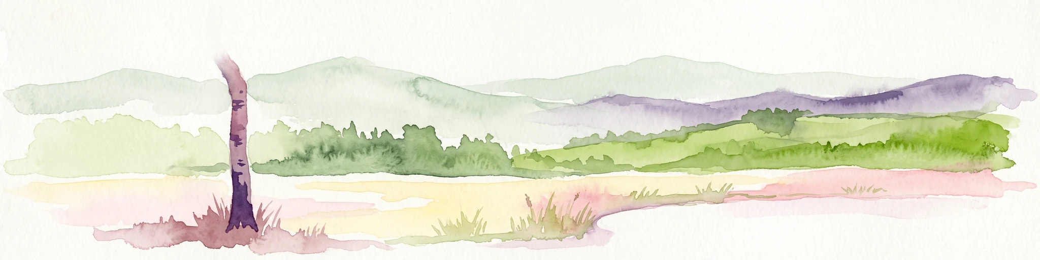
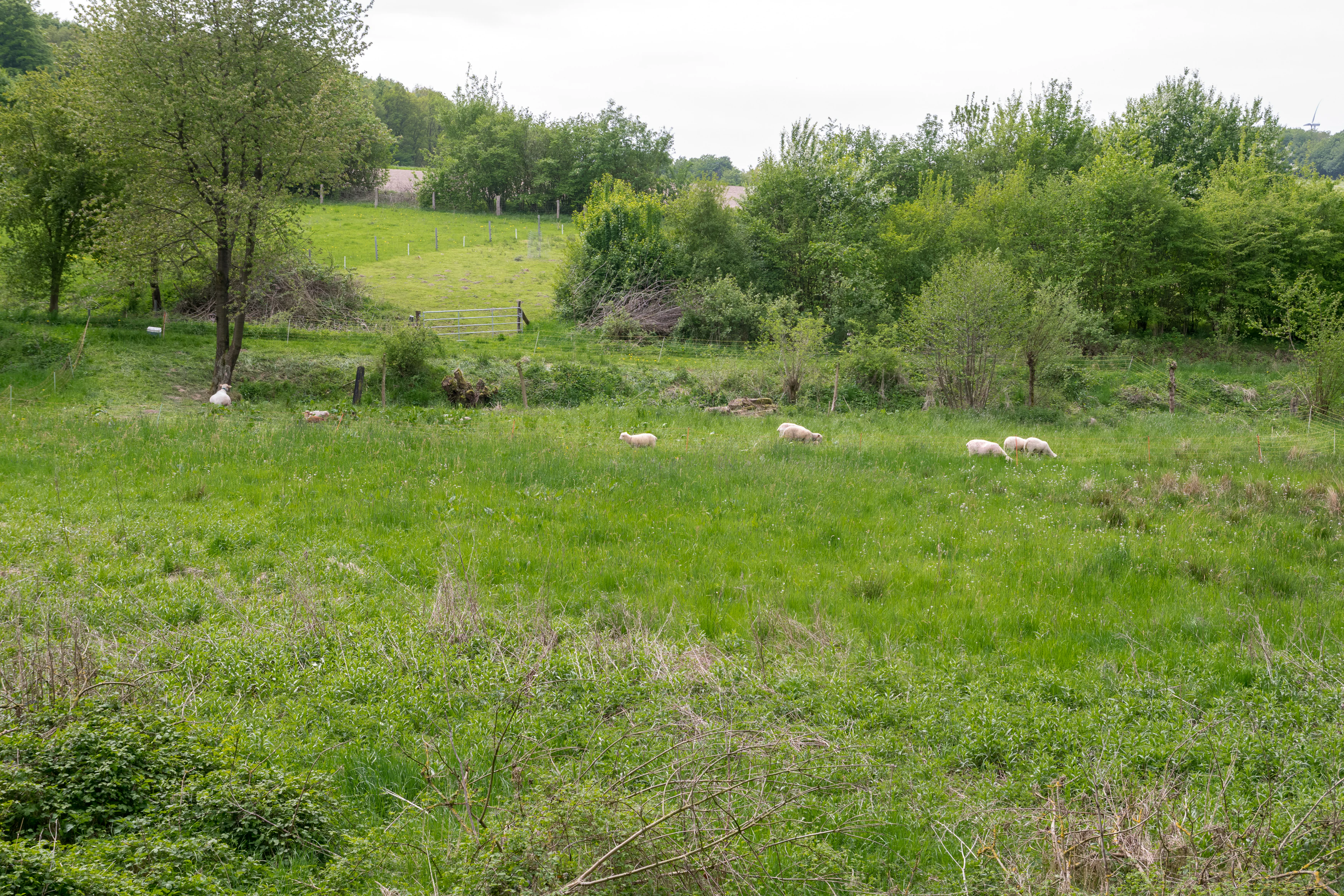
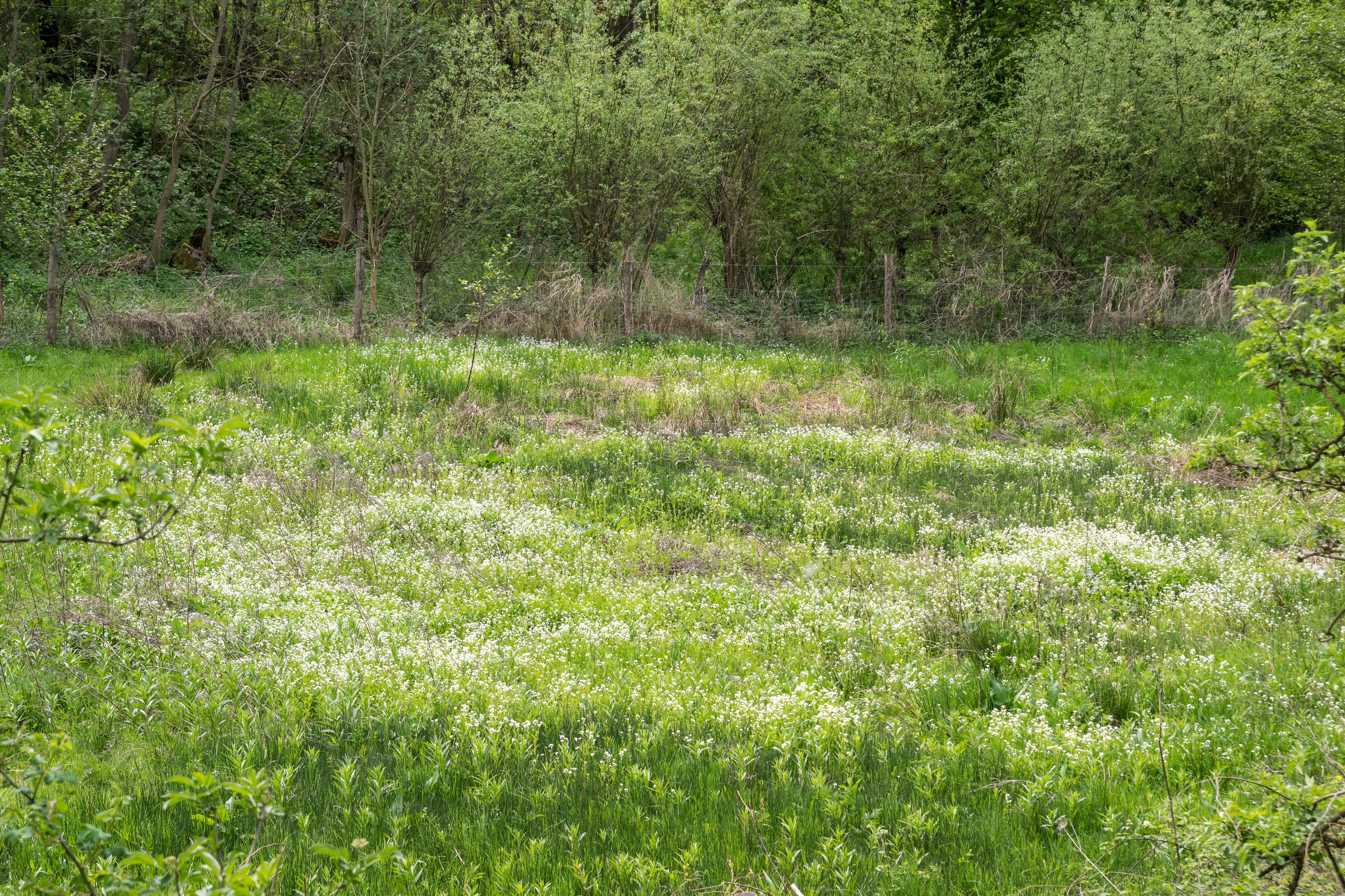
The slopes above the brook are mostly open grassland, used historically for grazing, including the sheep pasture still visible in the reserve today. The flatter valley floor transitions between wet meadows, moist meadows, pond-like wet features, and occasional fallow or brachy areas, creating a layered cross-section from dry hillside through mesic slope to saturated valley bottom.
Quellbereich der Osterkalle ecosystems, habitats, and plant life
Ecologically, the reserve is a textbook example of a water-linked habitat mosaic. The spring headwaters of the Osterkalle and its near-natural brook create the wet backbone of the site, supporting wet and moist meadow communities that depend on sustained groundwater and surface flow. Small ponds and seasonal inundation areas add still-water elements within an otherwise flowing-water system.
Along the brook, a continuous strip of Gehölzsaum, a band of native shrubs and trees, provides shade, leaf litter input, root structure for bank stabilization, and movement corridors between habitat patches. Above the riparian zone, the slopes carry different types of grassland at varying moisture levels, reflecting the transition from saturated valley bottom to drier hillside. These gradients support different plant communities and, in turn, a variety of invertebrates, amphibians, and other small fauna tied to the water-land interface.
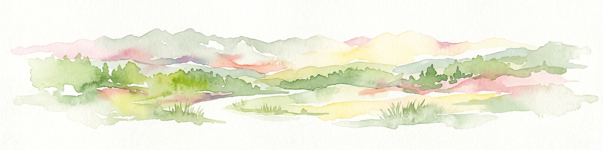
The combination of spring, stream, riparian woodland, wet meadow, and extensive grassland gives the reserve much of its ecological value: it is the layering of these habitats, rather than any single feature, that defines the site's natural character.
Quellbereich der Osterkalle conservation status and protection priorities
The reserve was established specifically to preserve a representative small-valley landscape and its associated water-dependent habitats. Its stated conservation purposes include maintaining and developing the typical Kastental with its near-natural brook, wet meadows, and ponds; securing habitats for wild plants and animals linked to water and near-water biotope structures; preserving and restoring extensively managed grasslands across different moisture levels; and safeguarding the spring zone of the Osterkalle itself.
By protecting the uppermost section of the stream, Quellbereich der Osterkalle also contributes to broader water quality and habitat continuity downstream. The retention of traditional meadow and pasture use helps maintain the open, semi-natural vegetation structure, while the protected riparian woodland buffers the brook from adjacent agricultural land. Together, these measures address both habitat preservation and the long-term functional integrity of the headwater system.
Top sights and standout views in Quellbereich der Osterkalle
Quellbereich der Osterkalle is notable for compressing several characteristic Lippe valley habitats into a compact area: a spring-fed headwater brook, riparian woodland, wet and moist meadows, ponds, and hillside grassland.
The reserve's defining feature is its unaltered Kastental profile, where a near-natural stream flows between grassy slopes through a corridor of traditional meadows, with a band of native trees tracing the watercourse. The site's long-standing protection under successive Kalletal landscape plans also marks it as a stable, locally significant piece of the district's nature reserve network.