Mori Atlas logo
Park earthquake history

Reviewing historical seismic records and epicentre data for the Northern Rockies landscape.

Recorded Seismic Activity and Earthquake History for Rattlesnake Wilderness in Western Montana

This historical catalogue provides a structured overview of seismic activity recorded in the vicinity of Rattlesnake Wilderness. Users can examine documented event dates, magnitude ratings, and focal depths for earthquakes associated by proximity to this protected mountain landscape in Montana. The records offer an objective perspective on regional seismic patterns for those studying the geological context of the Northern Rockies.

Related tags

wilderness areanorthern RockiesLolo National Forestconiferous forestalpine terrain

A northern Rockies wilderness protecting the high country of the Rattlesnake Mountains above Missoula, Montana.

Rattlesnake Wilderness

Rattlesnake Wilderness is a federally designated wilderness area in western Montana, lying just north of the city of Missoula within the larger Lolo National Forest. It protects a substantial portion of the high country of the Rattlesnake Mountains, safeguarding rugged forested ridges, alpine zones, and the headwaters that feed the Rattlesnake Creek drainage. Established by Congress in 1980, the wilderness is a core component of the broader Rattlesnake National Recreation Area and is managed under the 1964 Wilderness Act. Its proximity to an urban center makes it an unusually accessible example of a high-country wilderness, while its protections ensure that its forested slopes, alpine basins, and water sources remain free of roads, logging, and mechanized intrusion. The area's significance lies in its combination of ecological integrity and recreational character. The wilderness offers trail-based hiking, backcountry camping, and fishing opportunities within a landscape that retains the qualities of the Northern Continental Divide ecosystem, including conifer forests, wildlife habitat, and high-elevation terrain typical of the northern Rockies.

Location
United States of America
Park type
Wildlife reserve
Established
1980
Area
133.5 km²
Explore Rattlesnake Wilderness Protected Areas

Examine Rattlesnake Wilderness records by date and distance

Study historical earthquakes in the area around Rattlesnake Wilderness

Rattlesnake Wilderness is a United States mountain and valley protected area covering 133.45 km². Associated earthquakes can be inspected through their reported time, magnitude, depth, place, source, and park distance, but the catalogue does not establish that shaking occurred inside the wilderness or predicts recurrence.

Sort by
Magnitude
Location

This page describes catalogued earthquakes associated with the park by epicentre location and distance. It does not establish causation, assess current danger, or predict future earthquakes.

No earthquake records match the current filters

Park atlas

Go beyond Rattlesnake Wilderness earthquake records

Explore more protected destinations beyond Rattlesnake Wilderness

After the earthquake records around Rattlesnake Wilderness, discovery leaves western Montana's northern Rockies, coniferous forest, and alpine terrain for other protected places. The destination pages do not establish common wilderness status, mountain habitat, geographic closeness, geology, seismic evidence, hazards, risk, national-forest context, or equivalent documentation.
Protected areaMontana
Park boundaries overlap#1 closest

West

Lolo National Forest: An Atlas of Protected Lands and Mountainous Terrain in Montana

Ecological transition zone of the northern Rocky Mountains

This protected area covers two million acres of diverse northern Rocky Mountain geography. Known for its massive western red cedars and transitional ecology, the forest features a complex network of ridgelines, glacial lake basins, and river corridors that serve as vital habitat across the Montana landscape.

Area
8,894.85 km²
Established
1906
Relief
Mountain
Climate
Temperate
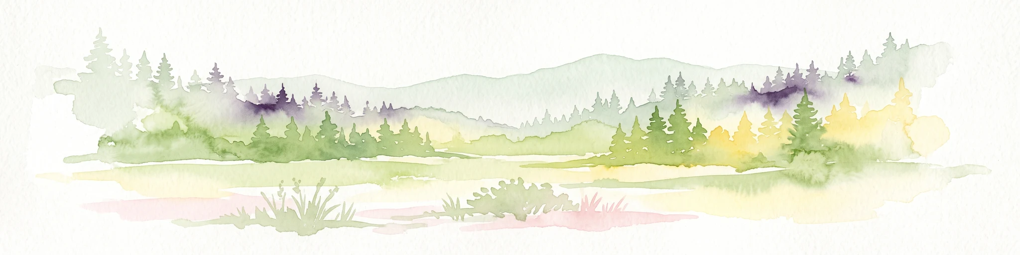
A watercolor painting of a serene landscape with coniferous trees, rolling hills, and soft-toned, layered mountains.
Protected landscapeMontana
About 4.8 km away#2 closest

Southwest

Rattlesnake National Recreation Area: Geography and Protected Landscape Analysis

A mapped Northern Rockies gateway in western Montana

The recreation area encompasses 28,000 acres of forested mountain terrain, montane wetlands, and creek-carved valleys located just north of Missoula. This protected landscape is defined by its diverse trail network and significant ecological systems, including the rare Sphagnum bogs of Shoo Fly Meadows. The area provides essential habitat for grizzly bears, elk, and bull trout while framing a transition zone into the remote backcountry of the surrounding national forest.

Area
110 km²
Established
1980
Relief
Mountain
Scope
Terrestrial
Wildlife reserveMontana
19 km away#3 closest

North

Mission Mountains Wilderness: A Rugged Protected Area in the Montana Rocky Mountains

Glacial topography and high elevation alpine ecosystems

Mission Mountains Wilderness is a defining landmark in northwestern Montana, characterized by a steep and narrow mountain spine that rises abruptly above the Flathead Valley. The area protects a full spectrum of ecosystems, from dense coniferous forests to exposed talus slopes and alpine tundra. With its glacially carved cirques and deep U shaped valleys, this wilderness functions as a key component of a larger, jointly managed regional conservation landscape in the United States.

Area
298.97 km²
Established
1975
IUCN
Ib
Relief
Mountain
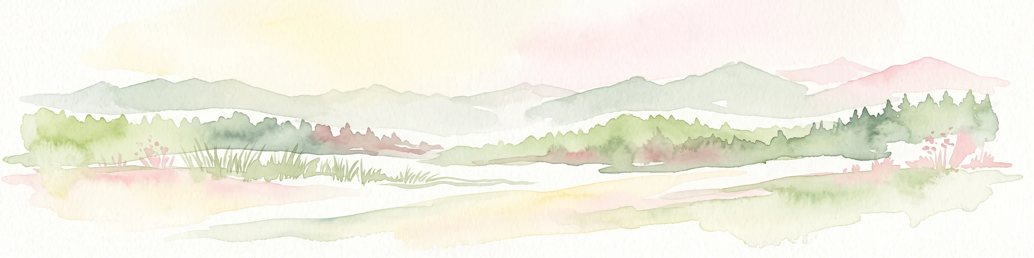
A watercolor painting depicting a soft, stylized mountain range and a river winding through a valley.
Protected landscapeMontana
64 km away#4 closest

East

Helena-Lewis and Clark National Forest: Geographic Overview and Protected Area Map

Montana wilderness spanning the Continental Divide

Spanning from the rolling eastern plains to the crest of the Northern Rockies, Helena-Lewis and Clark National Forest serves as a massive protected landscape in central Montana. This forest system protects eight unique mountain ranges and critical wilderness corridors, offering a comprehensive look at the ecological transition zones of the American Mountain West.

Area
11,000 km²
Established
1897
Relief
Mountain
Climate
Temperate
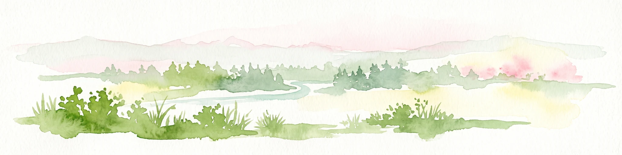
A soft watercolor painting depicting rolling mountains in the background with a line of forest in the midground and open terrain in the foreground.
Protected landscapeMontana
119 km away#5 closest

Northwest

Kootenai National Forest: Geography and Protected Land Map for Northwestern Montana

Northern Rockies mountain ranges and watershed analysis.

Spanning over two million acres, Kootenai National Forest represents a critical protected landscape in the Northern Rockies. This atlas entry details the interplay between the Cabinet Mountains, regional river systems like the Kootenai and Clark Fork, and the dense conifer forests that define this uniquely wet corner of Montana.

Area
8,900 km²
Established
1907
Relief
Mountain
Climate
Temperate
National parkMontana
128 km away#6 closest

North

Glacier National Park: A Montana National Park with Distinct Protected Landscape Geography

Explore its mapped boundaries and regional natural terrain.

Glacier National Park represents a significant national park entity within Montana, providing a unique lens for understanding protected landscapes and regional geography. As a key component of the US protected areas network, it offers valuable insights into mapped park boundaries and the surrounding natural terrain. This page serves as a gateway to exploring the specific geographic context and landscape identity of Glacier National Park.

Area
4,100.77 km²
Established
1910
IUCN
II
Visitors
2.9M annual
Soft watercolor illustration of a rolling mountain landscape with a forested foreground and faded, distant peaks.
Protected landscapeIdaho
141 km away#7 closest

South

Salmon, Challis National Forest: Geography and Protected Land Map in Central Idaho

Extensive alpine ridges and wild river corridors

Spanning over 4.2 million acres, Salmon, Challis National Forest is a foundational protected landscape in Idaho. This area includes the highest peaks in the state, such as Borah Peak, and holds the majority of the Frank Church, River of No Return Wilderness. Utilize this atlas resource to examine the intricate mountain topography, expansive river systems, and the contiguous wild corridors that define this significant portion of the northern Rockies.

Area
17,142.2 km²
Established
1908
Relief
Mountain
Climate
Temperate
Watercolor painting of a light-colored landscape featuring a river meandering through green trees and soft hills against a hazy background.
Wildlife reserveMontana
143 km away#8 closest

East

Gates of the Mountains Wilderness: Montana Protected Landscape and Geographic Overview

Explore Missouri River canyon boundaries and local terrain

Gain insight into the geological drama of Gates of the Mountains Wilderness, a protected reserve in Montana. This atlas entry focuses on the limestone canyon walls and historic river corridors that define the regional geography, offering a structured look at its protected boundaries and terrain.

Area
115.59 km²
Established
1964
IUCN
Ib
Relief
Mountain
MoriAtlas Explorer

Continue Exploring the Protected Landscapes of Rattlesnake Wilderness in Montana

Dive into the rugged geography and mapped boundaries of Rattlesnake Wilderness. MoriAtlas provides a comprehensive view of this essential wildlife reserve, tracing its elevation shifts, forested ridges, and critical role within the broader Montana mountain wilderness network.