
Mori Atlas logo
Marine protected areaRedang Island

A central archipelago landscape in the South China Sea, defined by forested interior hills and protected marine ecosystems.

Redang Island Marine Protected Area: Mapped Coastal Geography and Coral Reef Landscapes

Redang Island serves as a significant marine protected area off the coast of Terengganu, Malaysia, within the South China Sea. The island features a distinct physical profile, with forested highlands reaching Bukit Besar surrounded by fringing coral reefs, white sand beaches, and sheltered bays. This protected territory acts as a critical habitat for sea turtles while providing a clear window into the marine biodiversity and coastal landforms characteristic of the east coast of the Malay Peninsula.

islandmarine parkcoral reefsnorkelingdivingsea turtles
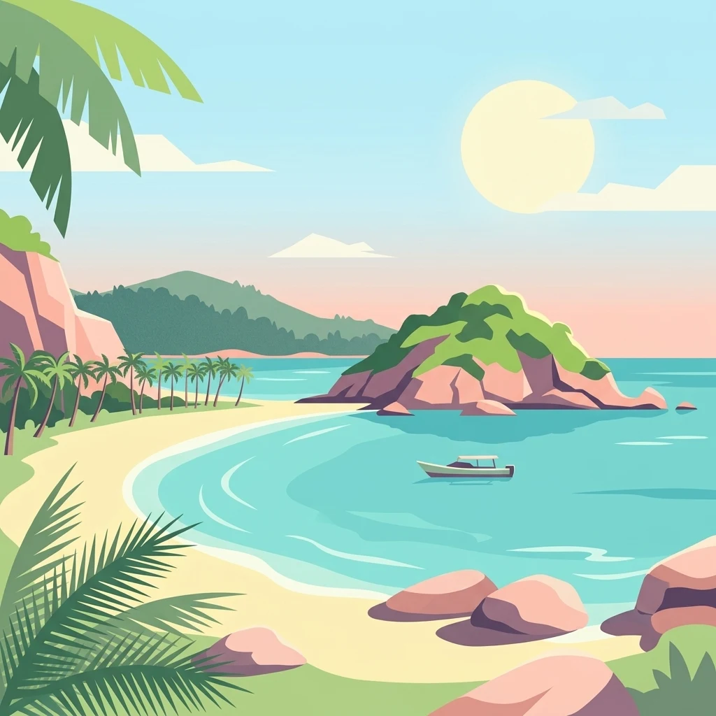
Digital illustration of a sunny tropical cove with a sandy beach, palm trees, turquoise water, a small boat, and rocky hills in the background.

Redang Island

Marine protected area

Park overview

Structured park overview, official facts, and landscape profile for Redang Island

Redang Island park facts, protected area profile, and essential visitor context

Review the core facts for Redang Island, including designation, size, terrain, visitor scale, habitats, and operating context in one park-focused overview.

About Redang Island

Redang Island occupies a central place in Malaysia's east coast island tourism landscape, both as a destination in its own right and as the largest island in an officially designated marine park archipelago. Measuring roughly seven kilometres long and six kilometres wide, with forested hills rising to Bukit Besar at 359 metres, the island presents a varied topography of sheltered bays, sandy beaches, rocky shores, and inland tropical forest.

The marine environment around Redang is its defining natural asset. Coral reefs flourish along significant stretches of the coastline, and the clarity of the water makes the reefs accessible to casual visitors as well as experienced divers. Beaches such as Pasir Panjang on the east, Teluk Dalam on the north, and Teluk Kalong on the south anchor the island's tourism geography, each supporting a cluster of resorts that frame the experience of the island around sea, sand, and reef.

Administratively, Redang sits within the Redang Islands Mukim and is part of Kuala Nerus District in Terengganu. The island's inclusion in a network of gazetted marine parks reflects a recognition of both its biodiversity and its economic value as a tourism destination. The marine park designation, combined with the island's sea turtle nesting activity, gives Redang a dual character as a leisure destination and a place of conservation significance. Its position relative to other well known Terengganu islands, including Lang Tengah, Perhentian, and Bidong, places it within a broader regional identity built around warm South China Sea waters and reef-based recreation.

Quick facts and research context for Redang Island

Redang Island covers roughly 24 square kilometres and rises to about 359 metres at Bukit Besar, its highest peak. It lies in the South China Sea off the coast of Terengganu and is administered as part of the Kuala Nerus District, with the full island group known as the Redang Islands Mukim.

Seven of the eighteen islands in the archipelago have been gazetted as marine parks under the Malaysian Department of Fisheries, with protected waters extending two nautical miles offshore. Tourism on Redang is concentrated at resort beaches on the east, north, and south coasts, while the island also hosts a recognized sea turtle nesting ground that underpins its ecotourism identity.

Protection and recognition

Documented marine protection scope and official recognition metrics

Redang Island Protection Status and Marine Conservation Designations

Marine protection status and documented conservation frameworks define the regulatory parameters established for Redang Island. Structured management metrics outline the operational designation scope associated with this protected marine environment.

Protection details

Protection scope
Marine
Transboundary protection
No
Park context

Deeper park guide and search-rich context for Redang Island

Redang Island history, landscape, wildlife, and travel context

Explore Redang Island through its history, landscape character, ecosystems, wildlife, conservation priorities, cultural context, and seasonal travel timing in a structured park guide built for atlas discovery and search intent.

Why Redang Island stands out

Redang is best known for its exceptionally clear waters, soft white sand beaches, and accessible fringing coral reefs that support snorkeling and diving close to shore. The island's most photographed beach, Pasir Panjang, combines long stretches of bright sand with reef systems where colorful fish can be seen just a few metres from the water's edge. The island is also recognized as a sea turtle nesting site, linking it to Malaysia's broader marine conservation efforts. Its combination of resort infrastructure, marine park status, and proximity to neighboring islands such as Lang Tengah, Perhentian, and Bidong places it among the defining tropical island destinations along Peninsular Malaysia's east coast.
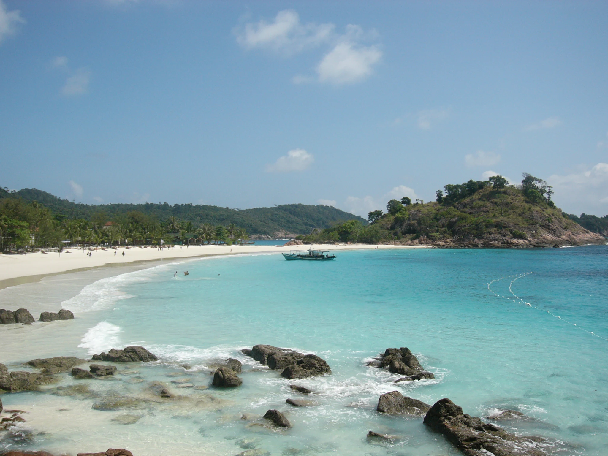
A wide angle view of a white sand beach meeting turquoise ocean waters on Redang Island with rocky formations in the foreground and hilly, forested headlands in the distance.
The turquoise waters and white sandy coastline of Pasir Panjang beach on Redang Island.

Redang Island history and protected-area timeline

Redang's historical footprint extends well beyond its modern resort identity. A passage attributed to the nineteenth century writer Abdullah Abdul Kadir Munshi from 1851 references pirate activity around Pulau Redang, placing the island in a network of maritime trade and conflict that characterized much of the Malay world during that period.

The waters surrounding the island also hold Second World War era shipwrecks, including the remains of HMS Prince of Wales and HMS Repulse, which were sunk in this part of the South China Sea during the opening phase of the war. The loss of these vessels is associated with the subsequent Japanese occupation of Malaya, and the wrecks contribute a quieter historical dimension to Redang's identity.

In the late twentieth and early twenty first centuries, Redang's trajectory shifted decisively toward marine tourism. The gazetting of several of the surrounding islands as marine parks under the Department of Fisheries formalized protections for the reef systems that now underpin the island's economy. Resort development followed, shaping Redang into an upmarket island escape compared with some of its neighbors. The filming of the 2000 movie Summer Holiday at Laguna Redang Island Resort further cemented the island's place in popular culture, and a replica of the film's tea house still operates on the resort grounds.

Redang Island landscape and geographic character

Redang Island presents a compact but diverse physical profile. The interior is dominated by forested hills that climb to Bukit Besar, the island's highest point at approximately 359 metres above sea level. This central highland gives way to coastal lowlands, cliffs, and bays along the perimeter, shaping the way beaches and settlements are distributed.

The coastline itself varies markedly from one side of the island to another. The eastern flank is graced by long beaches, including Pasir Panjang, where broad stretches of soft white sand meet shallow, clear water. The northern coast features the more sheltered embayment of Teluk Dalam, while the southern part of the island gives way to Teluk Kalong, a smaller, quieter beach with similar visual character. Rocky shores, including stretches near the Laguna Redang Resort area, add textural contrast to the otherwise sand dominated coastline.

The wider archipelago extends this landscape diversity beyond Redang itself. Surrounding islands such as Lang Tengah, Pinang, Yu Besar, and Kapak contribute varied silhouettes on the horizon, and together they define the sea space within which Redang sits. The result is a setting that feels visually rich without requiring vast distances between distinct scenic zones.

A wide panoramic view of a tropical beach with white sand, turquoise water, rocky green hills on both sides, and a few small structures visible near the shore.
A panoramic view of the white sand beach and turquoise waters at Redang Island.

Redang Island ecosystems, habitats, and plant life

The natural environment of Redang Island is defined by the interplay between tropical forest on land and coral reef ecosystems at sea. Inland, the island's hills support tropical vegetation typical of Peninsular Malaysia's east coast, transitioning toward coastal forest as elevation drops toward the shoreline.

The marine ecosystem is the most distinctive feature of the island's natural identity. Fringing coral reefs extend along accessible sections of the coastline, supporting reef fish communities that can be observed in shallow water without specialized equipment. The reef systems contribute to the extraordinary clarity of the water and sustain the snorkeling and diving activities the island is famous for.

The surrounding islands of the Redang archipelago, several of which are gazetted marine parks, extend this ecological richness beyond the main island. Together with neighboring island groups such as the Perhentians and Lang Tengah, Redang sits within a broader east coast reef seascape that holds regional ecological value and supports the marine food webs of the South China Sea.
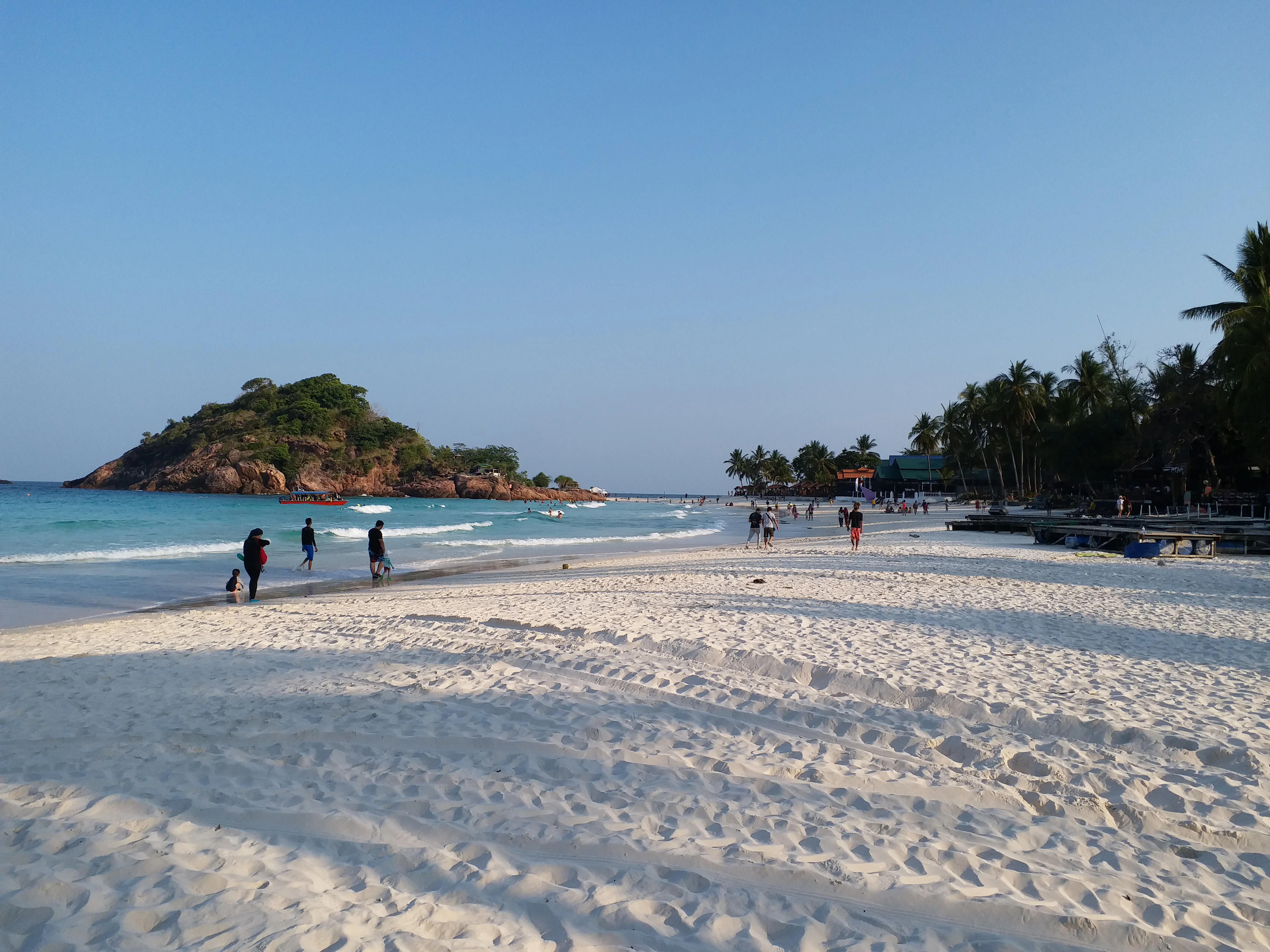
A wide, white sandy beach on Redang Island with turquoise water, a rocky islet in the distance, and people walking along the shore.
A wide beach with white sand on Redang Island.

Redang Island wildlife and species highlights

Wildlife on Redang Island reflects both its marine and terrestrial settings. The reefs around the island host diverse communities of reef fish, which are a major attraction for snorkelers and divers exploring shallow waters close to the beaches. Coral formations provide habitat structure for these fish communities and contribute to the visual richness of the underwater environment.

The island is also a recognized sea turtle nesting site. Nesting turtles form part of the broader ecological story of Redang and underpin its ecotourism profile, drawing visitors who come specifically to learn about and observe turtle conservation in action. Programs linked to local universities, including the SEATRU initiative based at Universiti Malaysia Terengganu, have used the island as a focus for sea turtle research and conservation.

This combination of reef life and charismatic marine megafauna gives Redang a clearly defined wildlife identity rooted in its coastal and marine ecology rather than in terrestrial species.
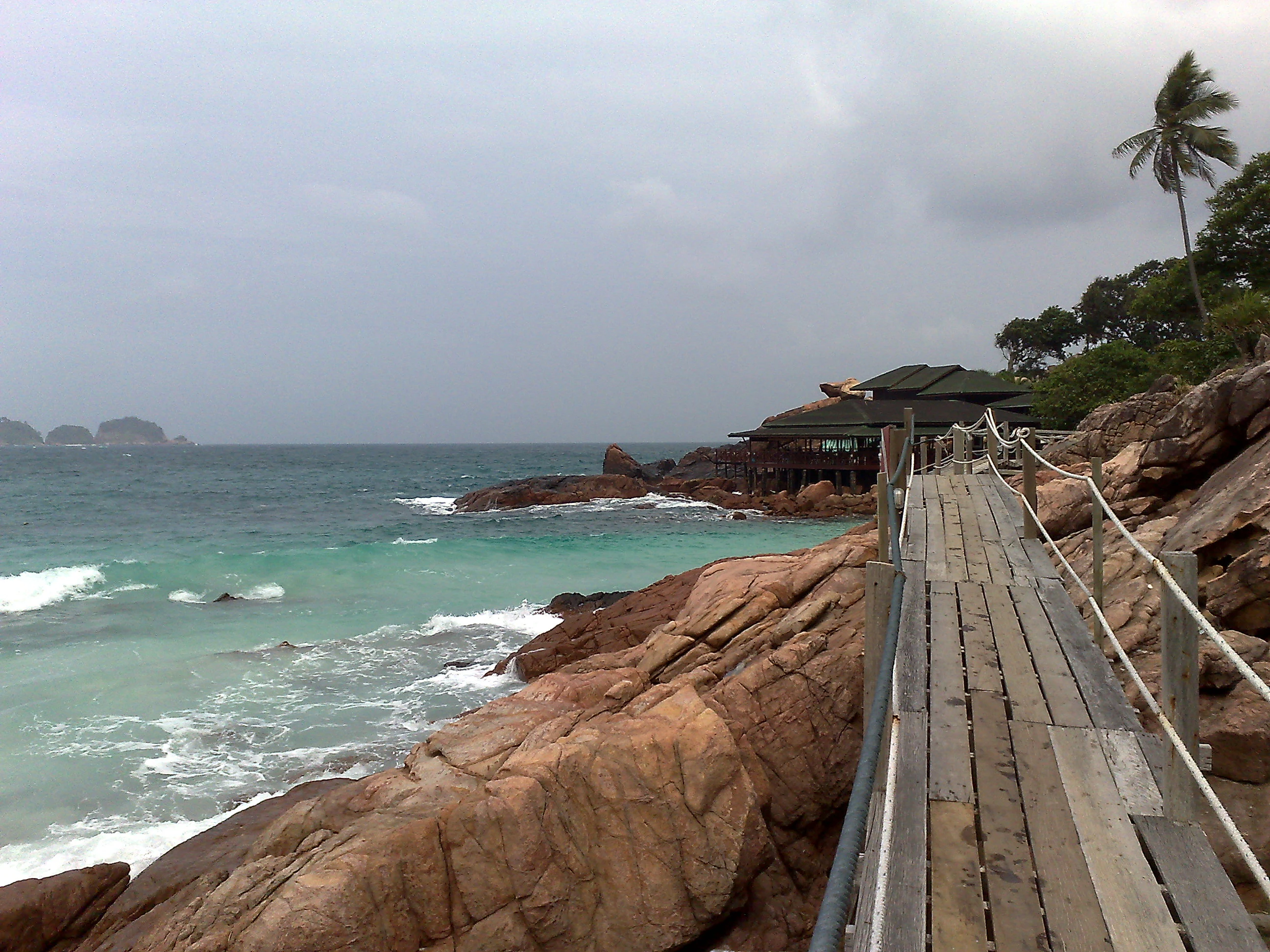
A weathered wooden footbridge path with a rope handrail, built into rocky terrain along a turquoise sea coast on Redang Island.
A wooden boardwalk winding along the rocky coastline of Redang Island.

Redang Island conservation status and protection priorities

Conservation is woven directly into the protected status of Redang Island and its surrounding waters. Several islands in the Redang group, including Redang itself, were gazetted as marine parks under the Malaysian Department of Fisheries, with protection zones extending two nautical miles from shore at lowest tide. This designation places the reef ecosystems around Redang within a formal protection framework.

The island's sea turtle population represents another important conservation focus. Redang's nesting beaches support ongoing turtle monitoring, research, and conservation work, linking the island to long term efforts to protect endangered sea turtle species in Malaysian waters. Underwater heritage, in the form of war era wrecks such as HMS Prince of Wales and HMS Repulse, is also recognized as part of the marine environment and has been the subject of dive exploration and preservation interest.

Taken together, the marine park status, turtle conservation activity, and ecological importance of the reefs position Redang as more than a leisure destination. Its protected waters function as a working example of how biodiversity protection, research, and tourism can coexist along a populated coastline.

Redang Island cultural meaning and human context

Redang Island's cultural setting is shaped primarily by its location within the Malaysian state of Terengganu and its identity as a Malay fishing and maritime community. The dominant languages spoken on the island are Malaysian Malay and the local Terengganu Malay dialect, and the population is overwhelmingly Malay, reflecting the broader demographic character of the east coast region.

The island's historical references reach back into the nineteenth century, when writers such as Abdullah Abdul Kadir Munshi documented regional maritime life around Pulau Redang, including the presence of piracy in nearby waters. This earlier context places the island within the long standing maritime traditions of the South China Sea, where fishing, seafaring, and trade defined coastal life.

In contemporary terms, Redang's cultural identity has expanded to include tourism, with resort based activity supporting visitors from across Malaysia and beyond. The filming of the 2000 movie Summer Holiday at Laguna Redang Island Resort, and the preservation of a replica tea house from the film on site, gives the island a small but distinctive place in Malaysian popular culture.
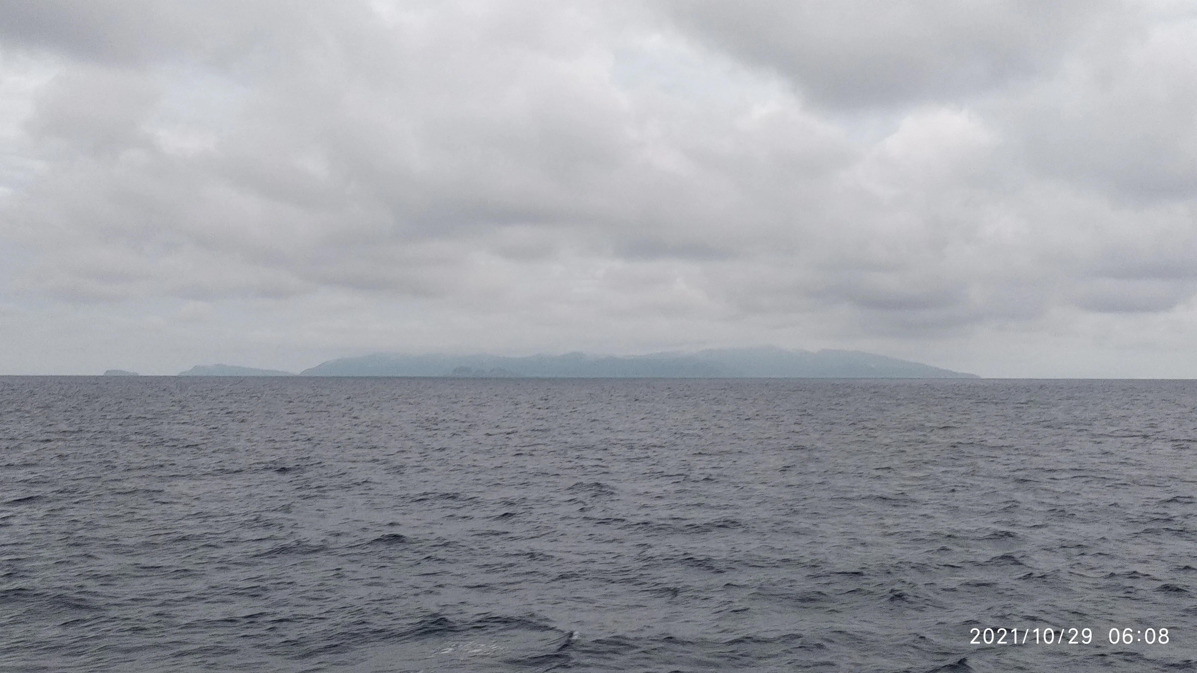
A distant, low-lying island silhouette on the horizon over calm, dark ocean water under a heavy, overcast sky.
A view of Redang Island from the surrounding sea on a cloudy day.

Top sights and standout views in Redang Island

Redang Island's defining highlights center on its beaches, reefs, and marine park identity. Pasir Panjang stands out as the island's most expansive and well known beach, while the smaller bays of Teluk Dalam and Teluk Kalong provide quieter, more intimate alternatives. Across these beaches, the combination of soft white sand and clear turquoise water creates the signature visual impression of Redang.

Equally important are the reef systems just offshore, where coral and reef fish can be seen within swimming distance of the sand. These reefs, protected under Malaysia's marine park framework, are the foundation for the snorkeling and diving experiences the island is known for. The island's role as a sea turtle nesting site adds another layer of distinction, connecting tourism to active conservation.

Together, these qualities, beaches, reefs, marine park status, and turtle conservation, define the core identity of Redang as one of Malaysia's most recognizable tropical island destinations.

Best time to visit Redang Island

Redang Island's tropical climate brings warm temperatures year round, generally hovering around 30 degrees Celsius, with frequent but brief thunderstorms. Rainfall follows a clear seasonal pattern, with the months from April through August typically being the driest and November through February being the wettest.

Because Redang lies on the east coast of Peninsular Malaysia, it is exposed to the northeast monsoon sweeping in from the South China Sea. During the height of this monsoon period, roughly from October to March, most resorts close and ferry transport is significantly reduced. This makes the drier months outside the monsoon window the most reliable period for visitors hoping to experience the island's full range of beaches, reefs, and water based activities.
Monthly climate preview

Long-term monthly temperature averages and precipitation records for Terengganu

Redang Island Climate Normals: Measured Temperature and Precipitation Rhythms

Historical climate normals for Redang Island reveal consistent baseline temperatures alongside distinct monthly precipitation variations across the representative coordinate. Reviewing the complete twelve-month record provides deeper insight into measured temperature ranges and long-term weather patterns.
Annual mean28 °C
26 °C29 °C
Jan26°
Feb26°
Mar27°
Apr28°
May29°
Jun29°
Jul28°
Aug28°
Sep28°
Oct28°
Nov28°
Dec27°
Warmest month
May

29 °C

Coolest month
January

26.3 °C

Wettest month
November

16.3 mm/day

Driest month
February

2.8 mm/day

Park location guide

Geography guide, regional context, and park location map for Redang Island

Redang Island park geography, regions, and map view in Malaysia

Understand where Redang Island sits in Malaysia through a broader geographic reading of the surrounding landscape, nearby location context, and its mapped position within the national park landscape.

How Redang Island fits into Malaysia

Malaysia is a federal constitutional monarchy located in Southeast Asia. The country consists of 13 states and three federal territories, divided by the South China Sea into Peninsular Malaysia on the Indochinese Peninsula and East Malaysia on the island of Borneo. With a population of over 34 million, it achieved independence from Britain in 1957 and became a modern federation in 1963. The country is recognized for its multicultural population, tropical climate, and significant economic role in the region.

Wider geography shaping Redang Island in Malaysia

Malaysia occupies a strategic position in Southeast Asia, split by the South China Sea into two distinct regions. Peninsular Malaysia lies on the Indochinese Peninsula, sharing a land border with Thailand to the north and maritime borders with Singapore, Vietnam, and Indonesia. East Malaysia occupies the northern portion of Borneo, sharing land borders with Brunei and Indonesia, and maritime borders with the Philippines and Vietnam. The country's terrain includes coastal plains, mountain ranges such as the Titiwangsa in the peninsula, and extensive tropical rainforests.

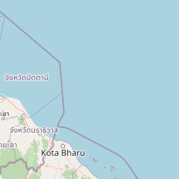
Map view of Redang Island

Use this park location map to pinpoint Redang Island in Malaysia, understand its exact geographic position, and read its mapped placement within the surrounding landscape more clearly.

Pigeon | © OpenStreetMap contributors

Location context for Redang Island

Terengganu

Examine protected marine environments, coral reefs, and coastal terrain

Redang Island Photos and Landscape Scenery Visual Exploration

Visual records capture the diverse marine habitats, forested interior highlands, and coastal sand formations that define the geography of Redang Island. Detailed photography reveals the ecological character of protected coral reefs and coastal environments across the surrounding archipelago.

A wide angle view of a white sand beach meeting turquoise ocean waters on Redang Island with rocky formations in the foreground and hilly, forested headlands in the distance.

A wide angle view of Pasir Panjang beach on Redang Island, with white sand, rocky shoreline in the foreground, and calm turquoise water with a small boat.

A wide panoramic view of a tropical beach with white sand, turquoise water, rocky green hills on both sides, and a few small structures visible near the shore.

A wide, white sandy beach on Redang Island with turquoise water, a rocky islet in the distance, and people walking along the shore.

A weathered wooden footbridge path with a rope handrail, built into rocky terrain along a turquoise sea coast on Redang Island.

A sandy beach at Redang Island with palm trees, outdoor metal tables and chairs, and a hammock in the foreground, looking out toward a calm turquoise sea with small islands in the distance.

A distant, low-lying island silhouette on the horizon over calm, dark ocean water under a heavy, overcast sky.

Park atlas

Discover adjacent island reserves and coastal protected landscapes across the surrounding region

Parks Near Redang Island and Other Protected Marine Areas to Compare Next

Browse other protected areas and marine reserves located close to Redang Island in the South China Sea. Comparing adjacent island ecosystems helps expand regional park geography and contextualize local conservation landscapes.
A watercolor painting showing a stylized, panoramic view of layered purple and pink mountains in the background with soft green forests and grassy plains in the foreground.
Marine protected areaTerengganu
About 15 km away#1 closest

West

Lang Tengah Island Marine Protected Area: Geography, Reefs, and Island Terrain

A tranquil protected landscape in the Terengganu archipelago

Lang Tengah Island represents a significant marine protected area defined by its dense forested interior and surrounding coral reef ecosystems. Located within the Terengganu marine region, the island offers a unique study of protected coastal geography, seasonal turtle nesting grounds, and undisturbed tropical marine environments separated from more developed nearby archipelagos.

Area
1.3 km²
Relief
Lowland
Climate
Tropical
Access
Moderate access
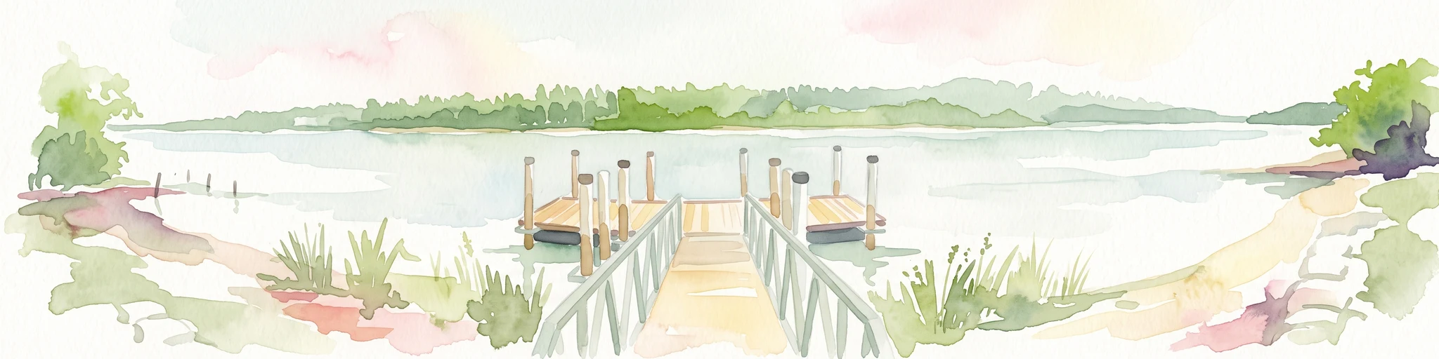
A watercolor illustration of a wooden pier extending into calm wetland waters, with lush green shorelines and trees on both sides.
State or regional parkTerengganu
About 35 km away#2 closest

West

Setiu Wetlands State Park: Geography and Protected Area Atlas of Terengganu

Coastal lagoons, mangrove forests, and riverine ecosystems

Encompassing the largest natural wetland on Malaysia's east coast, Setiu Wetlands State Park serves as a critical protected landscape where sea, sand, and forest meet. This atlas entry details the park's 23,000 hectare expanse, highlighting the complex hydrological network of lagoons and river basins that support diverse habitats, including peat swamps and seagrass beds.

Area
230 km²
Established
2018
Relief
Lowland
Climate
Tropical
An illustrative style image of a dramatic mountain valley featuring cliffs, two waterfalls, and a forested foreground at sunset.
Marine protected areaTerengganu
About 35 km away#3 closest

Northwest

Perhentian Islands Marine Protected Area: Terengganu Coastal and Archipelago Geography

Mapped marine boundaries and tropical island terrain

An immersive look at the Perhentian Islands, a protected nine-island archipelago in the South China Sea. Analyze the distinct marine geography, from fringing coral reefs and shallow reef flats to the forested inland hills of Perhentian Besar and Perhentian Kecil. This overview provides spatial context for one of Malaysia's most recognizable marine environments, emphasizing the protected status of its surrounding waters and reef habitats.

Area
15.955 km²
Established
1994
Relief
Lowland
Climate
Tropical
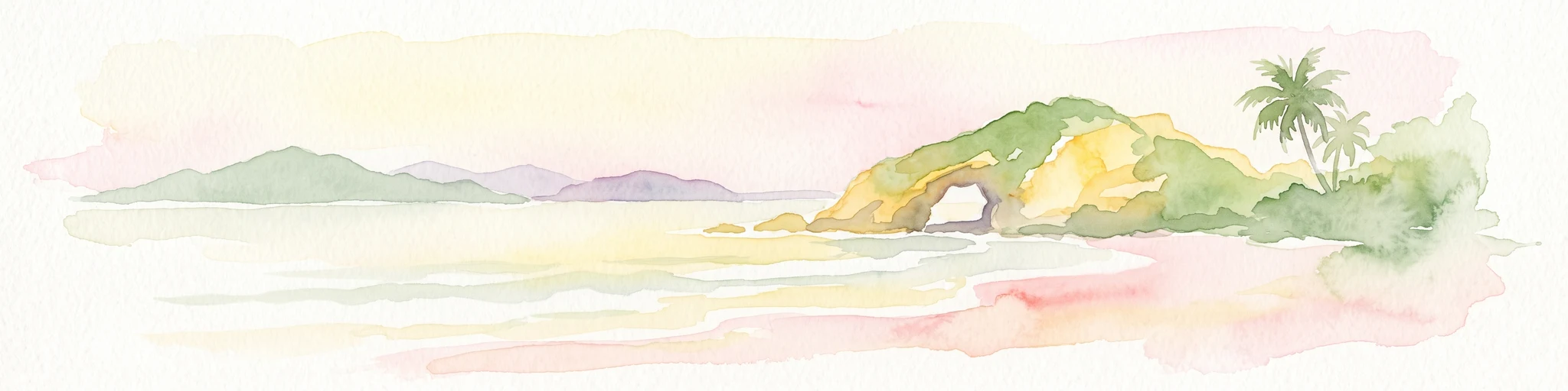
A soft-toned watercolor painting of a tropical island beach with a natural rock arch formation and palm trees.
Protected areaTerengganu
About 67 km away#4 closest

Southeast

Kapas Island: A Detailed Geographic Overview of the Protected Terengganu Coastal Landscape

Topography, Marine Protection Zones, and Island Geography

Kapas Island offers a focused look at the intersection of coastal geography and conservation management. This small archipelago features a tropical jungle core and protected sandy perimeters, providing a clear map of local reef health and coastal biodiversity in the Terengganu region of Malaysia.

Area
1.5 km²
Relief
Lowland
Climate
Tropical
Access
Easy access
Protected areaTerengganu
About 131 km away#5 closest

Southeast

Tenggol Island: A Geographic Overview of Terengganu's Protected Tropical Marine Landscape

Mapping reefs, forest interior, and regional maritime terrain

Tenggol Island stands as a distinct protected area off the coast of Terengganu, defined by its sharp 272-meter forested peak and complex underwater topography. This overview provides data on its coastal bays, rocky points, and fringing reef zones, offering a clear understanding of the island's unique position within the East Coast of Peninsular Malaysia's marine geography.

Area
2.62 km²
Relief
Upland
Climate
Tropical
Access
Moderate access
National parkPahang
About 134 km away#6 closest

Southwest

Taman Negara National Park: Pahang Protected Area with Mapped Boundaries for Geographic Discovery

Explore the unique landscape context within Pahang, Malaysia.

Delve into Taman Negara National Park, a significant protected area situated in Pahang, Malaysia. This detailed view highlights the park's mapped boundaries and its contribution to the regional geography. Understand the protected landscape and its place within the natural terrain of Peninsular Malaysia, essential for atlas-based geographic exploration.

Area
4,343 km²
Established
1938
IUCN
II
Relief
Mixed relief
National parkNarathiwat Province
About 171 km away#7 closest

Northwest

Budo, Su-ngai Padi National Park: Protected Tropical Rainforest Geography

Explore mapped boundaries and mountain landscapes in Southern Thailand.

Budo, Su-ngai Padi National Park is a critical protected area safeguarding one of Thailand's last significant tracts of intact tropical rainforest. Situated within the rugged Budo mountain range of Narathiwat Province, its landscape is defined by dense evergreen forests, steep terrain, and numerous waterfalls. This national park offers substantial geographic context for understanding conservation landscapes and regional terrain in peninsular Thailand, serving as a valuable addition to any atlas exploration.

Area
341 km²
Established
1999
IUCN
II
Relief
Mountain
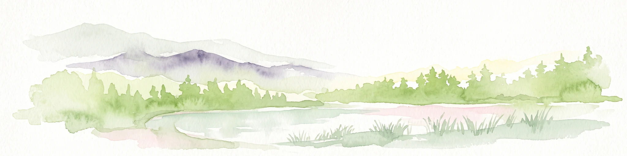
A watercolor painting showing a quiet lakeside scene with dense green forests in the background and soft, purplish mountains rising behind them.
State or regional parkPerak
About 186 km away#8 closest

West

Belum-Temengor: Ancient Rainforest Complex and Protected Landscape Geography in Perak

Mapping the forest ridges and lake archipelago of the northern Malay Peninsula

Spanning over 130 million years of ecological history, Belum-Temengor represents a massive, continuous block of tropical rainforest. The terrain transitions from high-altitude hill forests in the north to the flooded valleys and forested islands of Tasik Temengor. This complex serves as a vital water catchment and a sanctuary for diverse flora and fauna within the broader mountainous geography of the Perak region.

Area
1,175 km²
Established
2007
Relief
Mountain
Climate
Tropical

Common questions about visiting, size, designation, and location context for Redang Island

Redang Island FAQs for park facts, access, geography, and protected area context

Find quick answers about Redang Island, including protected-area facts, park geography, trail and visitor context, and how the park fits into its surrounding country and regional landscape.
MoriAtlas Explorer

Continue Your Protected Areas Search Across the Global Atlas

Deepen your exploration by continuing the structured search for national parks and protected areas worldwide. Utilize the comprehensive filtering capabilities to compare different conservation landscapes and refine your understanding of global park geography. Discover more about the distribution and characteristics of protected natural areas.

Global natural geography