
Mori Atlas logo
Nature reserveRéserve naturelle régionale de la Loire bourguignonne

Mapping the fluvial dynamics and alluvial floodplains of the Loire valley in central France.

Réserve naturelle régionale de la Loire bourguignonne: Protected River Landscapes and Geography

(Réserve naturelle régionale de la Loire bourguignonne (RNR304))

The Réserve naturelle régionale de la Loire bourguignonne preserves a critical stretch of the Loire river within the Bourgogne-Franche-Comté region of France. This protected area spans a dynamic alluvial floodplain characterized by shifting gravel banks, sandy islands, and a mosaic of riverine habitats shaped by continuous hydrological flow. Through detailed landscape mapping, the region reveals a complex interplay between natural river processes and traditional pastoral land use.

river ecosystemLoire valleyalluvial floodplainregional nature reservegravel banksground-nesting birds
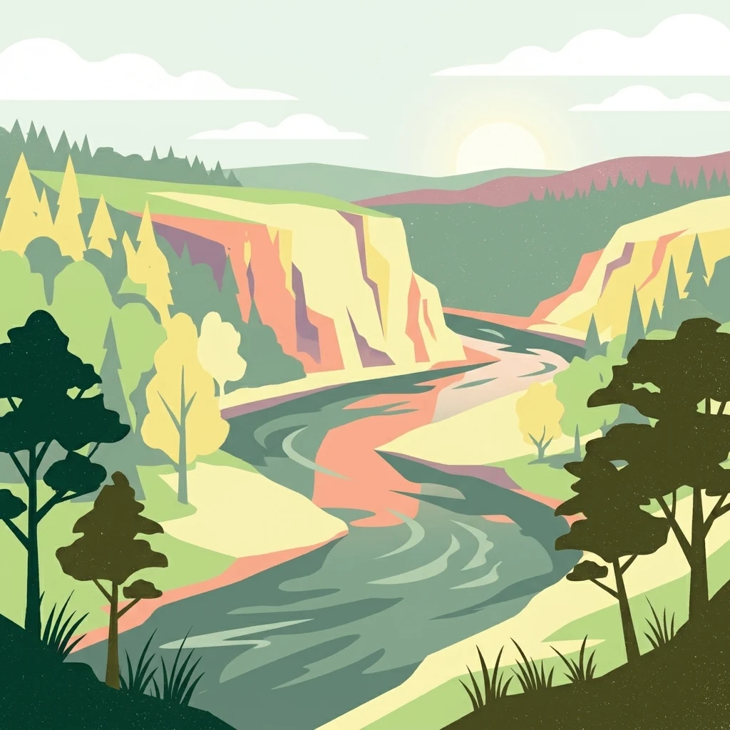
A flat-design illustration of a river flowing through a forested valley with high cliffs under a sunrise or sunset sky.

Réserve naturelle régionale de la Loire bourguignonne

Nature reserve

Park overview

Structured park overview, official facts, and landscape profile for Réserve naturelle régionale de la Loire bourguignonne

Réserve naturelle régionale de la Loire bourguignonne park facts, protected area profile, and essential visitor context

Review the core facts for Réserve naturelle régionale de la Loire bourguignonne, including designation, size, terrain, visitor scale, habitats, and operating context in one park-focused overview.

About Réserve naturelle régionale de la Loire bourguignonne

The Réserve naturelle régionale de la Loire bourguignonne is a relatively young but ecologically significant protected area in the Loire valley of central France. Designated in November 2015, it focuses on preserving a representative segment of the Loire within the Nièvre département, an area that retains much of the natural character that has otherwise been altered by dams, embankments, and channelization further upstream and downstream.

The reserve's landscape is defined by the river itself. Sandy alluvial geology, combined with the seasonal flow variations of the Loire, produces a shifting mosaic of islands, sandbanks, gravel beaches, back-channels, wet meadows, and woodlands. These are not static environments; they are reshaped by each flood and low-water period, which creates early successional habitats prized by specialized species. Traditional pastoral agriculture overlays this natural structure, contributing additional open and semi-open habitats that enrich the ecological mosaic.

Ecologically, the reserve stands out for the density of habitats and species packed into its modest area. Thirty-one natural habitats have been identified, with thirteen considered patrimonial at the regional level. Botanists have documented 532 vascular plant species, including rare regional taxa and the Loire-endemic Piloselle de la Loire. For fauna, the reserve supports twenty-two nationally protected animal species, notably birds that nest directly on river gravels, a habitat type that has become scarce in much of Western Europe.

The reserve is administered at the regional level under French law and is identified nationally and internationally through the WDPA and INPN systems. It belongs to the broader French network of regional nature reserves, contributing to the protection of an entire river ecosystem rather than a single forest block or mountain range. Its value is largely process-based: safeguarding the ecological dynamism of the Loire itself, along with the closely intertwined agricultural practices that have shaped its floodplain over centuries.

Quick facts and research context for Réserve naturelle régionale de la Loire bourguignonne

The Réserve naturelle régionale de la Loire bourguignonne is a regional nature reserve located in the Nièvre département, in the Bourgogne-Franche-Comté region of France. Classified by decision of the Regional Council on 13 November 2015, it covers about 739.68 hectares along the Loire.

The reserve spans several communes, including Decize, Charrin, Cossaye, Devay, Lamenay-sur-Loire, and Saint-Hilaire-Fontaine. Its IUCN category is IV (Habitat/Species Management Area), and it is recorded in international databases such as the World Database on Protected Areas (WDPA 555597268) and the French National Inventory of Natural Heritage (INPN FR9300148).

Protection and recognition

Documented terrestrial protection scope and baseline management records

Réserve naturelle régionale de la Loire bourguignonne Protection Status

Terrestrial protection status and documented geographic data outline the baseline management framework for Réserve naturelle régionale de la Loire bourguignonne. Official records provide verified protection scope and administrative database references without imported international designations.

Protection details

Protection scope
Terrestrial
Transboundary protection
No
WDPA ID
555597268
Park context

Deeper park guide and search-rich context for Réserve naturelle régionale de la Loire bourguignonne

Réserve naturelle régionale de la Loire bourguignonne history, landscape, wildlife, and travel context

Explore Réserve naturelle régionale de la Loire bourguignonne through its history, landscape character, ecosystems, wildlife, conservation priorities, cultural context, and seasonal travel timing in a structured park guide built for atlas discovery and search intent.

Why Réserve naturelle régionale de la Loire bourguignonne stands out

The reserve is best known for protecting a living, free-flowing stretch of the Loire river, where sandy alluvial dynamics constantly reshape beaches, gravel bars, and riparian habitats. This dynamic floodplain supports a rich mosaic of 31 distinct natural habitats, of which 13 are considered heritage habitats of regional importance. It is also known for its biodiversity in a relatively compact area: 532 recorded plant species, including rare and endemic vascular plants such as Piloselle de la Loire, and 22 animal species protected at the national level. The exposed river gravel banks serve as breeding grounds for ground-nesting birds, an increasingly rare feature along heavily regulated European rivers.
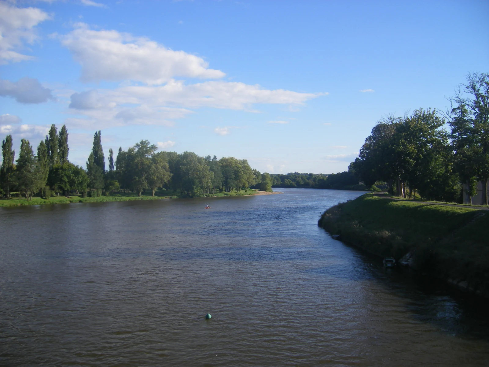
A wide view of a calm, wide river flowing through a lush green valley with trees lining both banks under a bright blue sky.
A peaceful view of the Loire River flowing through the alluvial landscape of the Réserve naturelle régionale de la Loire bourguignonne.

Réserve naturelle régionale de la Loire bourguignonne history and protected-area timeline

The Réserve naturelle régionale de la Loire bourguignonne was officially created by deliberation of the Bourgogne Regional Council on 13 November 2015, establishing the protected area under the French regional nature reserve framework. Its designation (formal code RNR304) formalized existing recognition of the ecological importance of this Loire segment within the Nièvre département.

The reserve's history is closely tied to the broader story of the Loire, France's longest river and one of Europe's last major unregulated rivers. While upstream sections and many tributaries have been significantly altered by hydraulic infrastructure, this stretch in Burgundy retains largely natural flow dynamics. Regional authorities, working with environmental partners, identified the area as worthy of formal protection to conserve its characteristic habitats, rare species, and ongoing fluvial processes. Since its creation, the reserve has been integrated into both national and international protected-area databases, confirming its status within France's system of nature reserves.

Réserve naturelle régionale de la Loire bourguignonne landscape and geographic character

The landscape of the reserve is a sand-dominated alluvial plain sculpted by the Loire. The river meanders through the territory, carving and reworking sandbanks, gravel beaches, side channels, and low-lying islands with each change in season and flow. Vegetation follows this shifting substrate, creating a graded sequence from bare gravel and pioneer plants to willow-dominated riparian thickets and more mature floodplain woodlands.

Alongside the river's natural forms, the broader floodplain carries the imprint of traditional pastoral agriculture. Open meadows and grazed areas interrupt the wooded corridors, maintaining open habitats that contrast with denser forest patches. The result is a varied and visually dynamic lowland river landscape, where water, sediment, vegetation, and human land use together shape the scenery. The river town of Decize sits at the heart of the protected area, anchoring the reserve geographically without dominating its natural character.

Réserve naturelle régionale de la Loire bourguignonne ecosystems, habitats, and plant life

Ecologically, the reserve is defined by the dynamic interaction between the Loire's hydrology and its sandy alluvial substrate. The river's flow regime continually renews habitats, producing an unusually high diversity of natural environments within a compact area. Thirty-one distinct habitats have been catalogued, of which thirteen are considered heritage habitats at the Bourgogne regional level. These include aquatic and riparian vegetation along active channels, pioneer communities on sand and gravel deposits, wet meadows, and woodlands at various stages of succession.

Traditional pastoral land use introduces additional ecological variety, with grazing contributing to the maintenance of open habitats alongside the river-driven landscape. This combination of natural disturbance and long-established human management is central to the reserve's ecological identity. The result is a heterogeneous floodplain mosaic in which aquatic, semi-aquatic, terrestrial, and open-ground habitats occur side by side.

Réserve naturelle régionale de la Loire bourguignonne wildlife and species highlights

The reserve is home to twenty-two animal species protected at the national level in France, a concentration that underlines its ecological importance relative to its size. A particular focus of its wildlife significance lies in the gravel and sand banks exposed by the Loire's seasonal low-water periods, which serve as nesting habitat for ground-nesting birds. Among the species recorded during the breeding season are the stone-curlew, common tern, and little tern, all of which require open, undisturbed riverine substrates.

This combination of dynamic riverine habitats, pastoral meadows, and riparian vegetation supports a broader community of birds, invertebrates, and aquatic fauna well adapted to fluctuating water levels. The reserve thus plays an important role in maintaining breeding populations of bird species that have become scarce elsewhere along the Loire and across Western Europe, where regulation of rivers has reduced the availability of natural nesting sites.

Réserve naturelle régionale de la Loire bourguignonne conservation status and protection priorities

From a conservation perspective, the reserve's principal value lies in protecting one of the last stretches of the Loire where the river still functions as a relatively unregulated ecosystem. By safeguarding the natural processes that continually reshape sandbanks and gravel islands, the reserve maintains habitat conditions that are difficult to recreate elsewhere. These dynamic habitats are essential to the survival of specialist species, particularly ground-nesting birds and rare plants tied to early successional substrates.

The reserve also contributes to the broader conservation of plant diversity in the Bourgogne region, acting as a refuge for rare and endemic flora, including the Loire-endemic Piloselle de la Loire. Operating as a regional nature reserve (réserve naturelle régionale) under French law, it is integrated into national and international networks for protected areas, including the World Database on Protected Areas and the French National Inventory of Natural Heritage. Its IUCN Category IV designation underscores its role as a protected area focused on habitat and species management rather than strict wilderness preservation.

Réserve naturelle régionale de la Loire bourguignonne cultural meaning and human context

The cultural dimension of the reserve is closely tied to the long history of human interaction with the Loire floodplain in the Nièvre. Pastoral agriculture has shaped the open character of the floodplain for generations, complementing rather than replacing the natural processes of the river. This overlap between traditional land use and river dynamics is integral to the landscape character the reserve aims to preserve.

The reserve also crosses several communes with their own distinct identities within the Burgundian countryside, including Decize, a historic river town at a strategic crossing of the Loire. While the protection framework is ecological in focus, the cultural attachment to the Loire as a working river, a boundary, and a regional landmark is part of the broader context in which the reserve sits.

Top sights and standout views in Réserve naturelle régionale de la Loire bourguignonne

The reserve's highlights revolve around the ecological richness of an active Loire floodplain: a mosaic of 31 natural habitats with 13 of heritage value, 532 recorded plant species, and the presence of both rare regional flora and the Loire-endemic Piloselle de la Loire.

Equally important are the twenty-two nationally protected animal species, particularly ground-nesting birds such as the stone-curlew, common tern, and little tern, which depend on the river's exposed gravel banks. The compact but intensively documented area, combined with its relatively natural hydrology, makes the reserve a strong example of regional-level protection of a dynamic river ecosystem.

Best time to visit Réserve naturelle régionale de la Loire bourguignonne

Visiting experience at the reserve is shaped primarily by the rhythm of the Loire itself. Late spring and early summer typically bring lower water levels, exposing the sand and gravel banks that attract breeding birds and reveal the bare sedimentary character of the floodplain. This is often the most rewarding season for observing ground-nesting species and for appreciating the open, lightly vegetated areas of the reserve.

Autumn and winter offer a different perspective, when higher or more variable water levels reshape channels and shorelines, and migratory waterfowl may use the river and its margins. For botanical interest, late spring through summer offers the widest range of flowering plants in the meadows, grasslands, and riparian zones, while pastoral landscapes remain visually distinctive across the warmer months.
Monthly climate preview

Long-term representative temperature and precipitation patterns across the conservation landscape

Réserve naturelle régionale de la Loire bourguignonne Climate Normals and Weather by Month

Representative coordinates record measured monthly averages spanning winter minimums below freezing and summer maximums exceeding thirty degrees Celsius alongside stable daily precipitation rates. Examining the complete twelve-month temperature and precipitation dataset provides deeper context for the regional climate profile.
Annual mean10 °C
2 °C19 °C
Jan
Feb
Mar
Apr10°
May14°
Jun17°
Jul19°
Aug19°
Sep15°
Oct11°
Nov
Dec
Warmest month
July

19.4 °C

Coolest month
January

2 °C

Wettest month
November

2.5 mm/day

Driest month
March

1.7 mm/day

Park location guide

Geography guide, regional context, and park location map for Réserve naturelle régionale de la Loire bourguignonne

Réserve naturelle régionale de la Loire bourguignonne park geography, regions, and map view in France

Understand where Réserve naturelle régionale de la Loire bourguignonne sits in France through a broader geographic reading of the surrounding landscape, nearby location context, and its mapped position within the national park landscape.

How Réserve naturelle régionale de la Loire bourguignonne fits into France

France is a unitary semi-presidential republic and one of the world's largest economies. It borders Belgium, Luxembourg, Germany, Switzerland, Italy, Monaco, Andorra, and Spain, with a maritime border to the United Kingdom. The country is known for its cultural influence, art, cuisine, and political history spanning centuries.

Wider geography shaping Réserve naturelle régionale de la Loire bourguignonne in France

France is located in Western Europe. Metropolitan France extends from the Rhine to the Atlantic Ocean and from the Mediterranean Sea to the English Channel and North Sea. The country borders Belgium, Luxembourg, Germany, Switzerland, Italy, Monaco, Andorra, Spain, and has a maritime border with the United Kingdom.

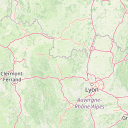
Map view of Réserve naturelle régionale de la Loire bourguignonne

Use this park location map to pinpoint Réserve naturelle régionale de la Loire bourguignonne in France, understand its exact geographic position, and read its mapped placement within the surrounding landscape more clearly.

Pigeon | © OpenStreetMap contributors

Location context for Réserve naturelle régionale de la Loire bourguignonne

Bourgogne-Franche-Comté

Visual exploration of alluvial floodplains, gravel banks, and protected river habitats

Réserve naturelle régionale de la Loire bourguignonne Photos and Landscape Scenery

Visual documentation captures the dynamic sandbanks, meandering channels, and riparian woodlands that define the protected river ecosystem. Photographic records reveal the complex mosaic of alluvial habitats and pastoral landscapes shaped continuously by the Loire flow regime.

A wide view of a calm, wide river flowing through a lush green valley with trees lining both banks under a bright blue sky.

Park atlas

Compare surrounding regional nature reserves and connected alluvial river ecosystems.

Parks Near Réserve naturelle régionale de la Loire bourguignonne and Related Protected Areas

Continue exploring protected natural areas near Réserve naturelle régionale de la Loire bourguignonne to examine similar lowland river landscapes and alluvial floodplains. Comparing adjacent regional reserves provides deeper geographic context into the protected habitats of central France.
Nature reserveAuvergne-Rhône-Alpes
About 15 km away#1 closest

Southeast

Réserve naturelle régionale du val de Loire Bourbonnais Protected Area and Atlas View

Riverine geography and floodplain landscapes in Allier, France

Examine the geographic profile of the Réserve naturelle régionale du val de Loire Bourbonnais. This site protects a significant stretch of the Loire River characterized by active meanders and alluvial deposits, representing a key example of riverine conservation in the Bourbonnais region of central France.

Area
3.08 km²
Established
2015
IUCN
IV
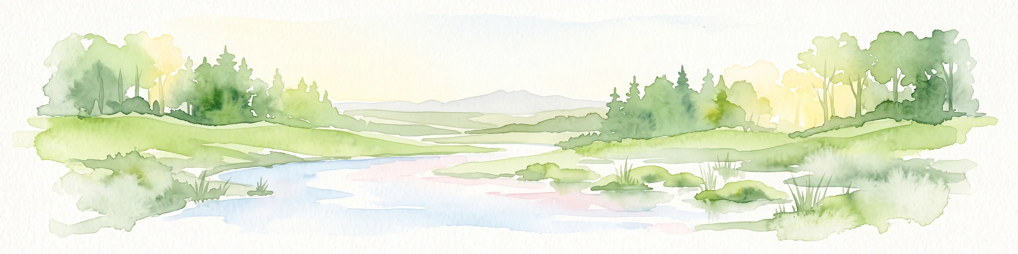
A soft, horizontal watercolor painting showing a meandering river winding through lush green riverbanks, with distant rolling hills against a white background.
Nature reserveAllier
About 33 km away#2 closest

Southwest

Réserve naturelle nationale du val d'Allier Protected Area and River Corridor Map

Alluvial landscape and floodplain geography in central France

The Réserve naturelle nationale du val d'Allier encompasses a mosaic of gravel bars, islands, and side channels shaped by natural river dynamism. This protected expanse showcases a complete riparian forest sequence, providing a rare example of a largely untamed river floodplain preserved for its ongoing geomorphic activity.

Area
14.5 km²
Established
1994
IUCN
IV
Relief
Lowland
A horizontal watercolor painting showing a green landscape with a winding stream, patches of marshy water, and distant hills, with soft light and green trees on the sides.
Nature reserveBourgogne-Franche-Comté
About 51 km away#3 closest

Northwest

Réserve naturelle régionale des Mardelles de Prémery: Protected Wetland and Forest Geography

Mapping the peatland depressions of the Prémery forest

This nature reserve protects a rare assemblage of mardelles, shallow forest pools set within the Prémery state forest. The landscape serves as a vital ecological archive, with peat deposits documenting environmental changes over 15 millennia. Explore the unique hydrological and botanical features of this protected lowland habitat nestled in the heart of the Nièvre department.

Area
2.525 km²
Established
2015
IUCN
IV
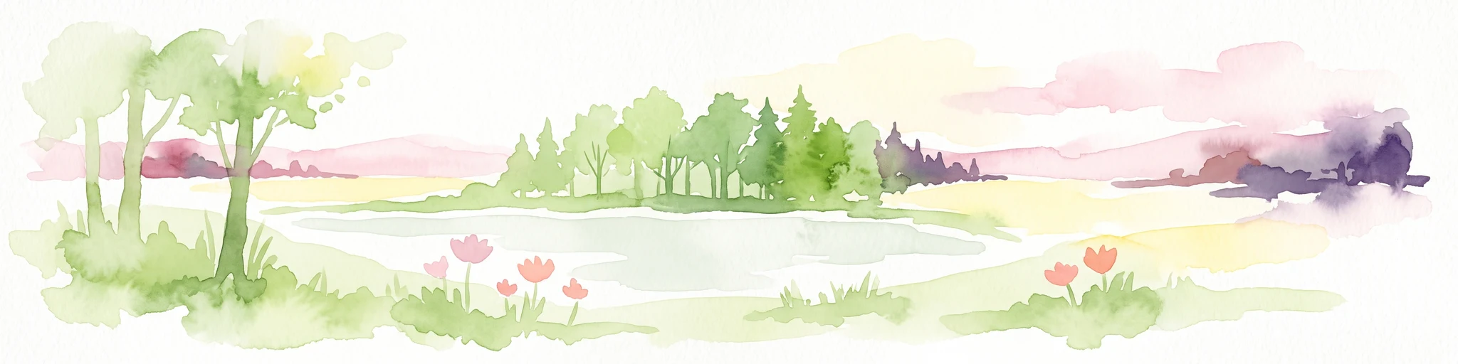
A horizontal watercolor painting showing a small pond surrounded by soft green trees, grass, and a few small red flowers against a pale sky.
Nature reserveBourgogne-Franche-Comté
About 57 km away#4 closest

Northeast

Réserve naturelle régionale des tourbières du Morvan: A Geographic Study of Peatland Protection

Regional Nature Reserve in the Bourgogne-Franche-Comté landscape

This expansive network reserve protects twelve notable peatlands across the departments of Nièvre and Saône-et-Loire. From the rare raised bog at Champgazon to the peat-fringed ponds of Étang Taureau, the reserve acts as a critical conservation mosaic that maintains the ecological connectivity of diverse sphagnum habitats within the greater Morvan regional landscape.

Area
2.66 km²
Established
2015
IUCN
IV
Relief
Mountain
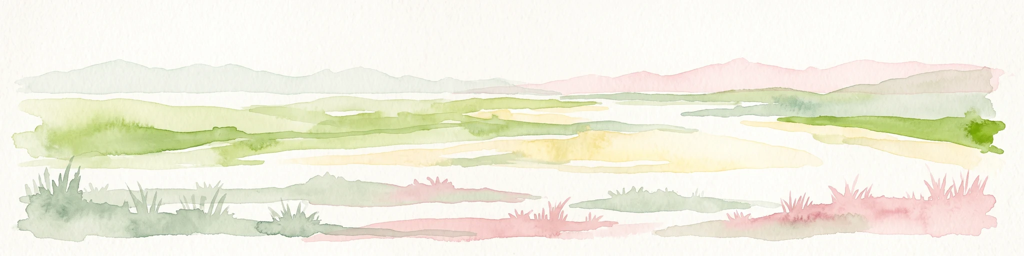
A horizontal watercolor painting depicting a wide river valley with grassy banks and distant hills in soft pastel shades of green, yellow, and muted pink.
Nature reserveBourgogne-Franche-Comté
About 69 km away#5 closest

Northwest

Réserve naturelle nationale du val de Loire: Protected River Geography and Map

An active alluvial landscape in the French river corridor

The Réserve naturelle nationale du val de Loire preserves one of the most representative segments of a free-flowing river system in Europe. This protected corridor showcases an exceptionally active dynamic, featuring shifting sandbanks, calm backwaters, and diverse alluvial forests that define the valley floor. Learn about the geographic boundaries and the natural terrain that characterize this essential French nature reserve.

Area
14.54 km²
Established
1995
IUCN
IV
Relief
Lowland
Nature reserveAuvergne-Rhône-Alpes
About 78 km away#6 closest

West

Espace naturel sensible de la Vauvre Protected Wetland Reserve and Geographic Landscape

Mapping wetland conservation in the Allier department

Covering 46 hectares of reclaimed terrain, this protected nature reserve provides a critical sanctuary for birds and wetland species. The site functions as a documented mosaic of ponds and damp grasslands, offering a clear example of localized ecological restoration within the broader context of the Cher valley geography.

Area
0.46 km²
Established
1996
IUCN
IV
Relief
Lowland
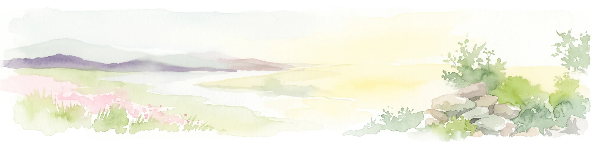
A wide watercolor illustration showing a soft landscape with pink flowers on the left, green bushes and rocks on the right, and distant mountains across a misty valley.
Protected areaFrance
About 100 km away#7 closest

East

Site naturel protégé de la Boucherette: Protected Limestone Grasslands in Southern Burgundy

Calcareous habitat and botanical trail geography

Located in the Saône-et-Loire commune of Lugny, this 104-hectare protected area showcases a distinctive transition between limestone hills and the Saône valley. The site is recognized for its concentration of wild orchids and its integration of ecological conservation with the historical footprint of centuries-old stone quarrying and tile production.

Area
1.04 km²
Established
2000
Visitors
1K annual
Relief
Upland
A soft watercolor painting of a wide, rolling landscape with green hills, pale mountain silhouettes in the background, and a faint reddish-brown foreground, presented on a white background.
Natural monumentAuvergne-Rhône-Alpes
About 106 km away#8 closest

Southwest

Chaîne des Puys - faille de Limagne: Mapping Volcanic and Tectonic Protected Landscapes

Geological exploration of the Auvergne-Rhône-Alpes volcanic chain

Spanning a rhythmic skyline of roughly eighty volcanoes, the Chaîne des Puys - faille de Limagne represents a premier site for studying continental rifting and volcanic landforms. This protected monument offers a clear view into the interplay between the ancient mountain basement, the massive Limagne fault, and the resulting volcanic edifices that define the regional identity of the Auvergne-Rhône-Alpes area.

Area
242.23 km²
Established
2018
Relief
Mountain
Climate
Temperate

Common questions about visiting, size, designation, and location context for Réserve naturelle régionale de la Loire bourguignonne

Réserve naturelle régionale de la Loire bourguignonne FAQs for park facts, access, geography, and protected area context

Find quick answers about Réserve naturelle régionale de la Loire bourguignonne, including protected-area facts, park geography, trail and visitor context, and how the park fits into its surrounding country and regional landscape.
MoriAtlas Explorer

Continue Your Protected Areas Search Across the Global Atlas

Deepen your exploration by continuing the structured search for national parks and protected areas worldwide. Utilize the comprehensive filtering capabilities to compare different conservation landscapes and refine your understanding of global park geography. Discover more about the distribution and characteristics of protected natural areas.

Global natural geography