
Mori Atlas logo
Nature reserveRéserve naturelle régionale du marais de Brière

Discover the complex canal networks, reedbeds, and seasonal floodplains of this essential French marshland reserve.

Réserve naturelle régionale du marais de Brière: A Protected Wetland Landscape in Pays de la Loire

The Réserve naturelle régionale du marais de Brière stands as a vital conservation unit within the broader Grande Brière marshland of western France. Spanning 836 hectares across three distinct sectors, this protected area preserves an intricate mosaic of open water, reedbeds, and seasonally flooded grasslands. Its flat, low-lying terrain is defined by a traditional canal system that provides critical habitat for numerous waterbird species and wetland-dependent mammals, forming a key node in the Atlantic coastal wetland corridor.

wetlandmarshlandregional nature reserveFrancePays de la LoireLoire-Atlantique
A stylized flat vector illustration of a valley between steep rocky mountains, featuring a waterfall flowing into a river, surrounded by pine forests.

Réserve naturelle régionale du marais de Brière

Nature reserve

Park overview

Structured park overview, official facts, and landscape profile for Brière Marsh Regional Nature Reserve

Brière Marsh Regional Nature Reserve park facts, protected area profile, and essential visitor context

Review the core facts for Brière Marsh Regional Nature Reserve, including designation, size, terrain, visitor scale, habitats, and operating context in one park-focused overview.

About Brière Marsh Regional Nature Reserve

The Brière Marsh Regional Nature Reserve sits at the heart of the Grande Brière, a vast wetland landscape shaped over centuries by human activity and natural hydrology. Although modest in size compared to many French nature reserves, its ecological significance is amplified by its position within a much larger functioning marshland, and by the strong ecological connections it maintains with neighboring Atlantic wetlands.

The reserve is composed of three distinct sectors that together capture the core elements of the Brière wetland character. The northern Charreau de Pendille and the southern Grands Charreaux are the largest, with the Pierre Constant sector adding a smaller but ecologically valuable eastern extension. Open water surfaces, reedbeds, wet meadows, and a dense network of drainage and navigation canals together create the habitat complexity that supports the reserve's bird and mammal populations.

Ecologically, the reserve is integrated into a wider wetland corridor that includes the Loire estuary, the salt pans of Guérande, and the Gulf of Morbihan. This makes it more than an isolated habitat patch; it functions as a stepping stone and refuge within one of France's most important Atlantic wetland systems. The presence of the European otter, a wide range of breeding and migratory waterbirds, and a recognized flora of patrimonial interest gives the site substantial conservation weight.

From an administrative perspective, the reserve is jointly managed by the Parc naturel régional de Brière, the regional body responsible for the broader landscape, and the Commission syndicale de Grande Brière Mottière, which represents the traditional landholding communities of the marsh. This shared governance reflects the long-standing relationship between the local population and a landscape that has been lived in, worked, and conserved in changing ways across generations.

Quick facts and research context for Brière Marsh Regional Nature Reserve

The Brière Marsh Regional Nature Reserve is situated in the Loire-Atlantique department, within the communes of Saint-Joachim and Saint-Malo-de-Guersac, near the city of Saint-Nazaire. It protects approximately 836 hectares of wetland, or roughly 5 percent of the broader Brière wetland zones.

The reserve combines three sectors: Charreau de Pendille in the north, Pierre Constant in the east, and Grands Charreaux in the south. It carries the designation RNR257 and is classified under IUCN Category IV, reflecting its role as a managed habitat and species protection area rather than a strictly wilderness reserve.

Protection and recognition

Documented conservation status, management records, and recognized protected area data

Protection Status and International Recognition for Réserve naturelle régionale du marais de Brière

Conservation records assemble official protection status, designation history, and administrative scope for Réserve naturelle régionale du marais de Brière. Structured database metrics track baseline protected area data and cataloged international recognition sources.

Protection details

WDPA ID
555559627
Park context

Deeper park guide and search-rich context for Brière Marsh Regional Nature Reserve

Brière Marsh Regional Nature Reserve history, landscape, wildlife, and travel context

Explore Brière Marsh Regional Nature Reserve through its history, landscape character, ecosystems, wildlife, conservation priorities, cultural context, and seasonal travel timing in a structured park guide built for atlas discovery and search intent.

Why Brière Marsh Regional Nature Reserve stands out

The reserve is best known for its dense mosaic of canals, reedbeds, and flooded meadows within the Grande Brière, one of the largest remaining inland marsh complexes in western France. It is recognized as an important habitat for wetland birds, including several species for which the Brière is the leading French breeding site. Its conservation profile is closely tied to its position within a wider Atlantic wetland network. The marsh functions as a critical node between the Loire estuary, the Guérande salt marshes, and the Gulf of Morbihan, making it a key area for migratory waders, waterfowl, and specialist marsh-nesting species.
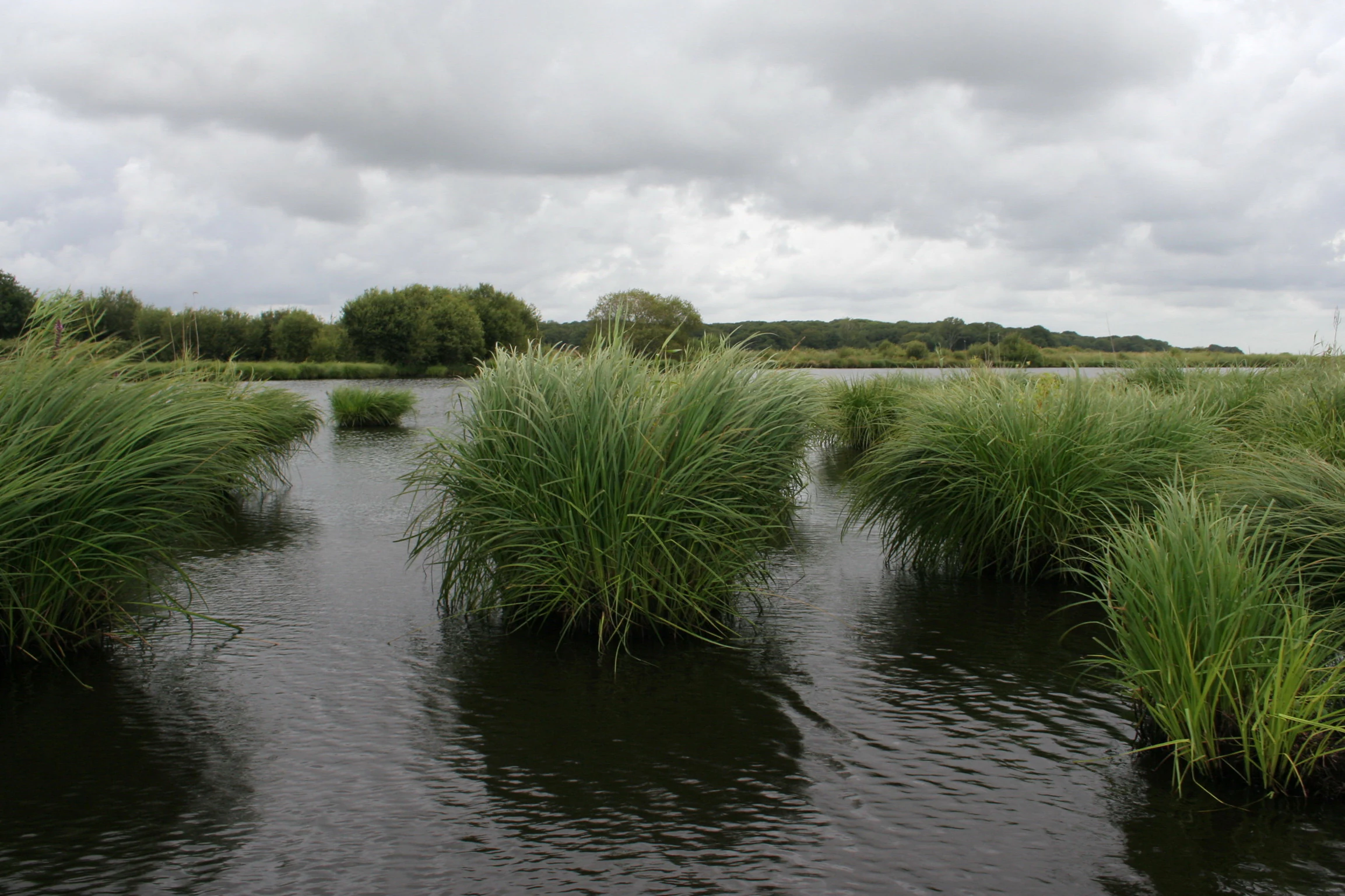
Wide shot of a marshland with large, grassy, reed-like vegetation growing directly out of dark, calm water under a cloudy sky.
The marshy wetlands of the Grande Brière, characterized by dense patches of emergent vegetation and calm waterways.

Brière Marsh Regional Nature Reserve history and protected-area timeline

The landscape that the reserve now protects has a long human history tied to the marsh economy of the Grande Brière. Before formal conservation designation, the area was shaped by traditional land uses including hunting, peat extraction, grazing, and the maintenance of the canal system used for transport and commerce across the marsh communities.

Modern protection began in pieces. The Grands Charreaux sector was classified as a hunting reserve in 1973, followed by the Charreau de Pendille in 1989. These two designations created early wildlife protection frameworks but did not unify the three sectors under a single conservation regime. In 1980, Pierre Constant, a university professor from Rennes, established a small zoo near the port of Rozé at Saint-Malo-de-Guersac to showcase the fauna of the marsh; it attracted up to 16,000 visitors per year before its aviaries were gradually replaced by observation hides during the 1990s, marking a shift toward less intrusive, observation-based engagement with the wetland.

The decisive moment in the reserve's history came on 19 November 2012, when the regional council of Pays de la Loire voted to classify the combined three sectors as a regional nature reserve. This unified the previously fragmented protection of the area and placed it under the coordinated management of the Parc naturel régional de Brière and the Commission syndicale de Grande Brière Mottière, formalizing the reserve's role within the broader regional conservation framework for the Brière.

Brière Marsh Regional Nature Reserve landscape and geographic character

The reserve's landscape is defined by the characteristic terrain of the Grande Brière: shallow open water, dense reedbeds, and seasonally flooded grasslands arranged around an intricate canal network. The canals, many of traditional origin, cut the marsh into a pattern of islands, channels, and damp meadows that gives the area its distinctive visual rhythm and ecological complexity.

Topographically, the area is flat and low-lying, lying within the broader alluvial and paludal zone east of the mouth of the Loire. The result is a horizontally expansive landscape where the eye is carried across open marsh rather than across elevated terrain. Seasonal water levels strongly influence the atmosphere of the reserve, with winter and spring flooding expanding the area of open water and reshaping the boundary between aquatic and terrestrial habitats.

The three protected sectors are each characterized by slightly different landscape proportions: Charreau de Pendille and Grands Charreaux, both larger, combine substantial expanses of open water and reedbed, while the smaller Pierre Constant sector holds a more compact mosaic of habitats. Across all three, the unifying visual signature is the calm horizon of marshland, interrupted by lines of reed, the silhouette of passing waterbirds, and the slow movement of traditional flat-bottomed boats along the canals.
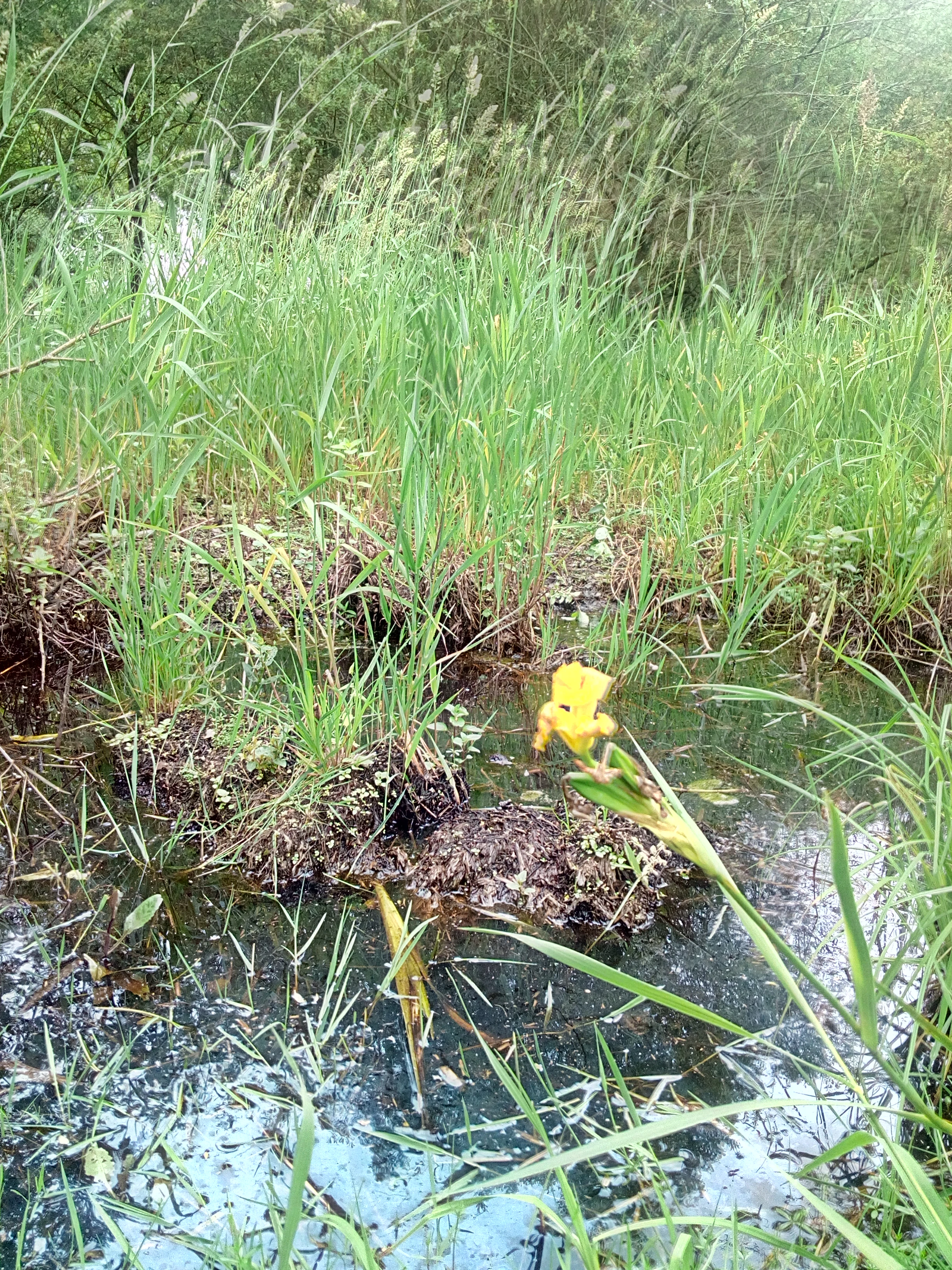
A close up of a bright yellow iris flower growing in a shallow, grassy wetland with tall reeds in the background.
A yellow iris blooming in the wetland environment of the Réserve naturelle régionale du marais de Brière.

Brière Marsh Regional Nature Reserve ecosystems, habitats, and plant life

The reserve protects a representative cross-section of the ecological systems found across the wider Brière marshland. Its habitats include open water, reedbeds, and flood meadows, organized within a canal network that connects rather than isolates the different habitat types. This structural complexity supports a richer biological community than any single habitat type could sustain on its own.

Vegetation patterns follow the hydrology of the marsh. Where water levels remain high, reedbeds and aquatic plant communities dominate; where flooding is seasonal, wet meadow species take over during drier months. Botanical inventories have identified fifteen plant species of recognized heritage interest, including the yellow flag iris, which is characteristic of the visual identity of the Brière in late spring.

Ecologically, the reserve does not function as an isolated patch. Its plant and animal populations are tied through hydrological and ecological connections to the Loire estuary, the salt marshes of Guérande, the Gulf of Morbihan, and other Atlantic wetlands. This wider network sustains the ecological value of the reserve, allowing species to move between complementary habitats across seasons and life stages.

Brière Marsh Regional Nature Reserve wildlife and species highlights

The reserve supports a mammal community that includes twelve recorded species, among which the European otter holds particular conservation significance. The otter's presence in an actively managed wetland reflects the recovery of a species that has rebounded across parts of western France, and the Brière's habitat structure offers the cover, water quality, and prey base it requires.

The birdlife is the most prominent feature of the reserve's fauna. A total of seventy-three bird species have been recorded, including wintering waterfowl such as the Eurasian teal, gadwall, and northern shoveler. The Brière as a whole is recognized as the leading French breeding site for several marsh-dependent species, including the marsh harrier, the Eurasian bittern, the black tern, and the spotted crake, all of which depend on large, undisturbed reedbed complexes.

During migration seasons, the reserve functions as an important staging and stopover area for waders and ducks moving along the Atlantic flyway. The combination of predictable water levels, abundant invertebrate prey, and connectivity to coastal wetlands makes it a preferred refueling site during long migrations, while its expansive reedbeds provide secure nesting habitat during the breeding season.

Brière Marsh Regional Nature Reserve conservation status and protection priorities

The reserve's principal conservation role lies in maintaining a functional, well-connected wetland complex at a scale meaningful for wetland-dependent species. Its designation as a regional nature reserve under IUCN Category IV indicates a focus on active habitat and species protection through management, rather than strict wilderness preservation. This is consistent with a landscape that has long been shaped by human activity but retains high ecological value.

Beyond its own boundaries, the reserve contributes to the conservation of the broader Atlantic wetland network. Its ecological links to the Loire estuary, the Guérande salt marshes, and the Gulf of Morbihan mean that protection here supports wider regional objectives for migratory waterbirds, fish populations, and aquatic mammal dispersal. The reserve therefore has value disproportionate to its size.

The joint management structure, combining the Parc naturel régional de Brière and the Commission syndicale de Grande Brière Mottière, allows conservation objectives to be balanced against the continuation of traditional land uses in the surrounding marsh. This integrated approach is itself a conservation asset, helping preserve both the ecological character of the wetland and the cultural landscapes that have shaped it.

Brière Marsh Regional Nature Reserve cultural meaning and human context

The Brière has a strong regional identity rooted in centuries of marshland life. Communities such as Saint-Joachim, Saint-Malo-de-Guersac, Saint-Lyphard, and Saint-André-des-Eaux have long traditions tied to navigation on the canals, peat cutting, hunting, and small-scale agriculture adapted to wet ground. The Commission's continued role in reserve governance reflects this enduring local stake in the marsh.

Traditional flat-bottomed boats, locally known as chalands, remain part of the cultural fabric of the area, both as working craft and as a heritage tourism experience. Their enduring presence on the canals connects contemporary visitors to the rhythms of marsh life that have shaped the Brière for generations.

Top sights and standout views in Brière Marsh Regional Nature Reserve

The reserve's three-sector structure captures the full range of Brière wetland habitats within a single conservation framework. Its ecological identity is defined less by any single species than by the structural richness of its canals, reedbeds, and seasonally flooded meadows, which together sustain a wide community of wetland wildlife.

Brière's status as the leading French breeding site for several marsh-dependent bird species gives the reserve national significance, while its integration into a wider Atlantic wetland corridor extends its relevance to international migratory pathways. The combination of ecological value, active traditional land use, and joint regional-local governance makes it a distinctive example of managed wetland conservation in western France.

Best time to visit Brière Marsh Regional Nature Reserve

Late spring and early summer typically offer the richest combination of active bird breeding, full reedbed vegetation, and reliable dry weather for canal-based exploration. Migratory waterfowl and waders, however, are most visible during autumn and winter passages, when seasonal flooding expands the area of open water and concentrates birds across the marsh.

The character of the landscape changes noticeably with water levels; periods of higher water bring out the open, reflective quality of the marsh, while drier stretches emphasize the meadow and reedbed mosaic. Visitors interested in birdlife will find different rewards across the seasons, from breeding displays in spring and early summer to large gatherings of ducks and waders in the colder months.

Monthly climate preview

Long-term representative monthly temperature and precipitation data for conservation analysis

Réserve naturelle régionale du marais de Brière Climate Normals and Annual Weather Patterns

Representative coordinate measurements trace the multi-year temperature progression and daily precipitation averages recorded across twelve distinct monthly intervals. Detailed climate comparisons provide researchers with comprehensive monthly normals for assessing long-term environmental patterns.
Annual mean12 °C
7 °C19 °C
Jan
Feb
Mar
Apr11°
May14°
Jun17°
Jul19°
Aug19°
Sep17°
Oct14°
Nov10°
Dec
Warmest month
August

19.3 °C

Coolest month
January

6.6 °C

Wettest month
December

2.9 mm/day

Driest month
July

1.3 mm/day

Park location guide

Geography guide, regional context, and park location map for Brière Marsh Regional Nature Reserve

Brière Marsh Regional Nature Reserve park geography, regions, and map view in France

Understand where Brière Marsh Regional Nature Reserve sits in France through a broader geographic reading of the surrounding landscape, nearby location context, and its mapped position within the national park landscape.

How Brière Marsh Regional Nature Reserve fits into France

France is a unitary semi-presidential republic and one of the world's largest economies. It borders Belgium, Luxembourg, Germany, Switzerland, Italy, Monaco, Andorra, and Spain, with a maritime border to the United Kingdom. The country is known for its cultural influence, art, cuisine, and political history spanning centuries.

Wider geography shaping Brière Marsh Regional Nature Reserve in France

France is located in Western Europe. Metropolitan France extends from the Rhine to the Atlantic Ocean and from the Mediterranean Sea to the English Channel and North Sea. The country borders Belgium, Luxembourg, Germany, Switzerland, Italy, Monaco, Andorra, Spain, and has a maritime border with the United Kingdom.

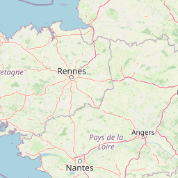
Map view of Brière Marsh Regional Nature Reserve

Use this park location map to pinpoint Brière Marsh Regional Nature Reserve in France, understand its exact geographic position, and read its mapped placement within the surrounding landscape more clearly.

Pigeon | © OpenStreetMap contributors

Location context for Brière Marsh Regional Nature Reserve

Pays de la Loire

Visual exploration of marshland terrain, canal networks, and protected wetland habitats

Réserve naturelle régionale du marais de Brière Landscapes and Scenery Photography

Examine detailed imagery showcasing the expansive reedbeds, open water sectors, and flooded grasslands of Réserve naturelle régionale du marais de Brière. Visual documentation reveals the distinct topography and habitat structures defining this protected Atlantic wetland ecosystem.

Wide shot of a marshland with large, grassy, reed-like vegetation growing directly out of dark, calm water under a cloudy sky.

A traditional green and black flat bottomed boat moored at the grassy edge of a dark canal surrounded by reeds and greenery.

A close up of a bright yellow iris flower growing in a shallow, grassy wetland with tall reeds in the background.

Park atlas

Compare nearby regional reserves and connected wetland landscapes across western France.

Parks Near Réserve naturelle régionale du marais de Brière and Related Protected Areas

Visitors exploring Réserve naturelle régionale du marais de Brière can continue browsing adjacent protected areas and regional wetland reserves. Comparing nearby natural landscapes reveals broader ecological connectivity across the Atlantic coastal zone.
Nature reserveLoire-Atlantique
About 18 km away#1 closest

Northwest

Réserve naturelle régionale de l'étang du pont de fer: Protected Wetlands of Loire-Atlantique

Coastal freshwater pond, wooded buffers, and wetland connectivity.

This regional nature reserve encompasses a sizeable freshwater pond and surrounding marshes, serving as a vital link in the chain of wetlands between the Vilaine estuary and the Guérande region. Its distinctive landscape, defined by floating sedge islets and dense alder woodland, supports a high density of avifauna and rare plant species. As a key component of the protected terrain in Loire-Atlantique, the reserve offers insight into coastal wetland ecosystems and their function as biodiversity corridors in western France.

Area
0.626 km²
Established
2008
IUCN
IV
Relief
Lowland
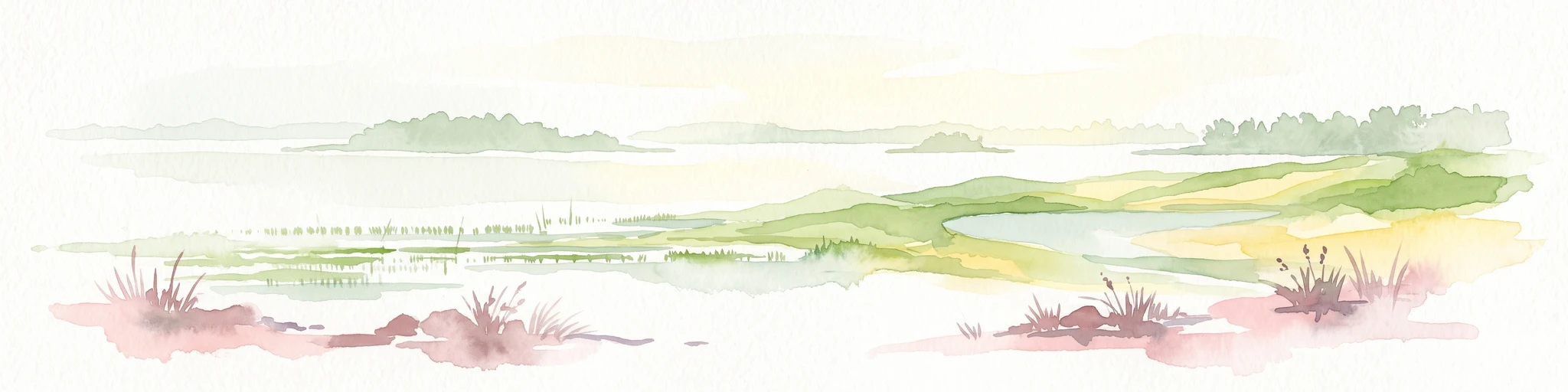
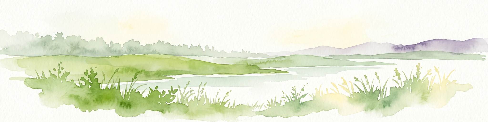
A horizontal watercolor painting depicting a soft coastal scene with green grassy shores; distant hills; and a calm expanse of water.
Nature reservePays de la Loire
About 26 km away#2 closest

South

Réserve naturelle régionale de la pointe Saint-Gildas: Coastal Geography and Protected Map

Regional Nature Reserve in Pays de la Loire, France

The Réserve naturelle régionale de la pointe Saint-Gildas represents a significant protected coastal headland. Located in Loire-Atlantique, the site encompasses 11.5 hectares of land where freshwater estuarine influences converge with Atlantic saltwater, providing a unique focus for regional geographic and landscape conservation studies.

Area
0.115 km²
Established
2014
IUCN
IV
Relief
Lowland
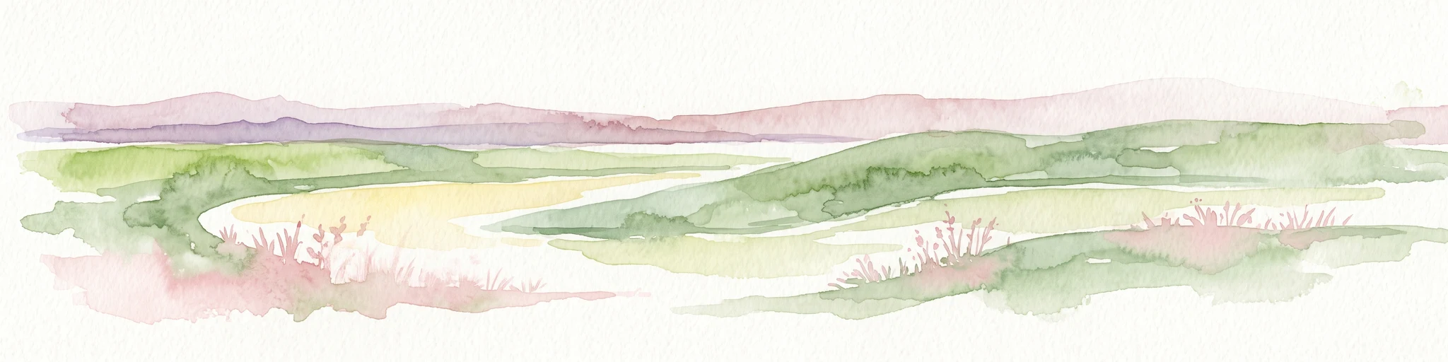
A watercolor painting showing a soft, panoramic view of a coastal wetland with small islands in the distance and grassy foreground dunes.
Regional parkBretagne
About 26 km away#3 closest

Northwest

Parc naturel régional du Golfe du Morbihan: Coastal Landscape and Marine Park Geography

Protected maritime territory and island geography in Bretagne

Covering over 80,000 hectares of combined land and marine space, Parc naturel régional du Golfe du Morbihan offers a unique view into the intersection of Atlantic coastal heritage and environmental conservation. Learn about the park's structural role in the Bretagne region through its intricate network of inlets, peninsulas, and marshland habitats that define its distinctive maritime character.

Area
642 km²
Established
2014
IUCN
V
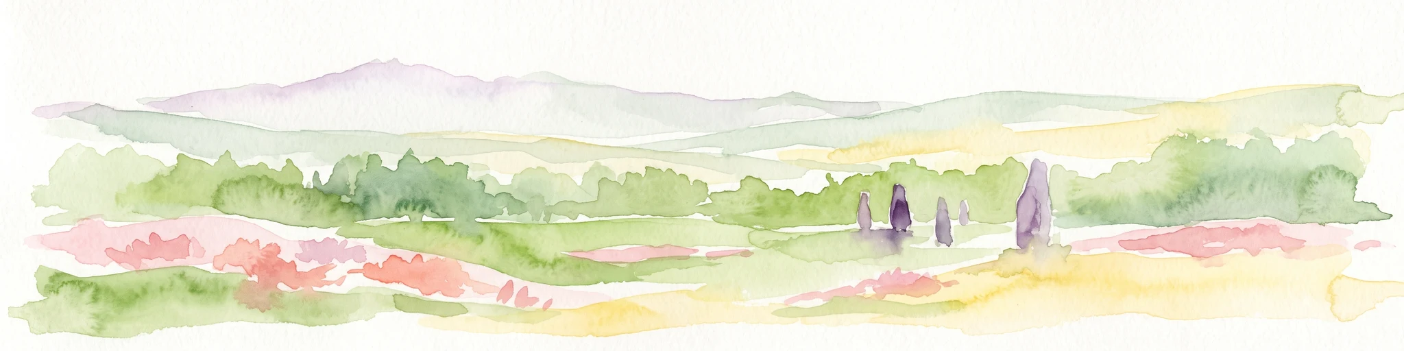
Watercolor painting of a coastal polder landscape with green grassy mounds, light yellow flat areas, and soft purple hills in the distance.
Nature reservePays de la Loire
About 47 km away#4 closest

South

Réserve naturelle régionale du polder de Sébastopol: Coastal Wetland and Polder Geography

Protected coastal landscape on the Île de Noirmoutier.

This 133-hectare nature reserve in the Pays de la Loire region encompasses a distinctive 19th-century drainage landscape. The area features a long, narrow geometry of brackish ponds and salt-influenced terrain that provides essential stopover and breeding habitats for coastal waterbirds along the Vendée shoreline.

Area
1.33 km²
Established
2008
IUCN
IV
Nature reserveRomania
About 54 km away#5 closest

South

Réserve naturelle régionale des marais du Bout de Sac: Protected Marsh Geography

Coastal wetland habitat and protected marshland terrain

The Réserve naturelle régionale des marais du Bout de Sac represents 187.1 hectares of preserved wetland habitat. Its landscape includes reclaimed polders, wet meadows, and a network of tidal channels. This site offers significant value for understanding the ecological structure of coastal marshlands and their role as habitats for waterbird populations near the Atlantic interface.

Established
2025
Relief
Lowland
Water
Water-dominated
Nature reservePays de la Loire
About 56 km away#6 closest

East

Réserve naturelle régionale de la tourbière de Logné: Protected Wetland Landscape Map

A rare peatland refuge in the Pays de la Loire administrative region

Located on the outskirts of Nantes, the Réserve naturelle régionale de la tourbière de Logné protects a delicate raised bog system. This atlas entry provides a detailed look at the basin terrain, its surrounding hills, and the wetland connectivity that supports its status as a critical botanical and invertebrate sanctuary within the Erdre valley.

Area
0.706 km²
Established
2011
IUCN
IV
Nature reserveBretagne
About 58 km away#7 closest

North

Réserve naturelle régionale des landes de Monteneuf: Geographic Landscape and Protected Area

Atlantic heathland mosaic and Neolithic heritage sites in Bretagne

The Réserve naturelle régionale des landes de Monteneuf serves as a vital refuge for Atlantic heathland habitats within the Bretagne region of France. Situated on thin, acidic schist soils, the area displays a textured mosaic of dry and humid moorland patches, small ponds, and prominent megalithic alignments. This protected territory offers a unique look at how historical land use maintains an open heathland ecosystem amidst a changing rural landscape.

Area
1.255 km²
Established
2013
IUCN
IV
Relief
Lowland
Nature reservePays de la Loire
About 66 km away#8 closest

Southeast

Réserve naturelle régionale du bocage humide des Cailleries: Protected Landscape and Regional Map

Wet bocage and oak woodland in the Lake Grand-Lieu watershed

Covering roughly 18 hectares, this protected area features a fine-textured mosaic of woody hedgerows, wet meadows, and multiple small ponds. The site acts as a functional refuge for varied flora and fauna, illustrating the traditional Atlantic landscape character within western France through its structured management of meadows and pond systems.

Area
0.182 km²
Established
2012
IUCN
IV
Relief
Lowland

Common questions about visiting, size, designation, and location context for Brière Marsh Regional Nature Reserve

Brière Marsh Regional Nature Reserve FAQs for park facts, access, geography, and protected area context

Find quick answers about Brière Marsh Regional Nature Reserve, including protected-area facts, park geography, trail and visitor context, and how the park fits into its surrounding country and regional landscape.
MoriAtlas Explorer

Continue Your Protected Areas Search Across the Global Atlas

Deepen your exploration by continuing the structured search for national parks and protected areas worldwide. Utilize the comprehensive filtering capabilities to compare different conservation landscapes and refine your understanding of global park geography. Discover more about the distribution and characteristics of protected natural areas.

Global natural geography