
Why Rokycanská stráň stands out
Rokycanská stráň is best known as a protected reference locality for Ordovician stratigraphy in the Barrandian area of central Bohemia. The nature monument preserves the stratotype of the Klabava Formation and fossil-rich outcrops of the Šárka Formation, both classic units of lower Paleozoic geology in the Czech Republic. The exposures of clay shale at the site carry diagnostic fossil assemblages that define biozones within the Klabava Formation, allowing geologists to use the area as a benchmark for dating and correlating Ordovician sediments of the region. This combination of stratotype and well-documented fossil localities gives the reserve an importance in Czech earth-science heritage that is disproportionate to its small footprint.
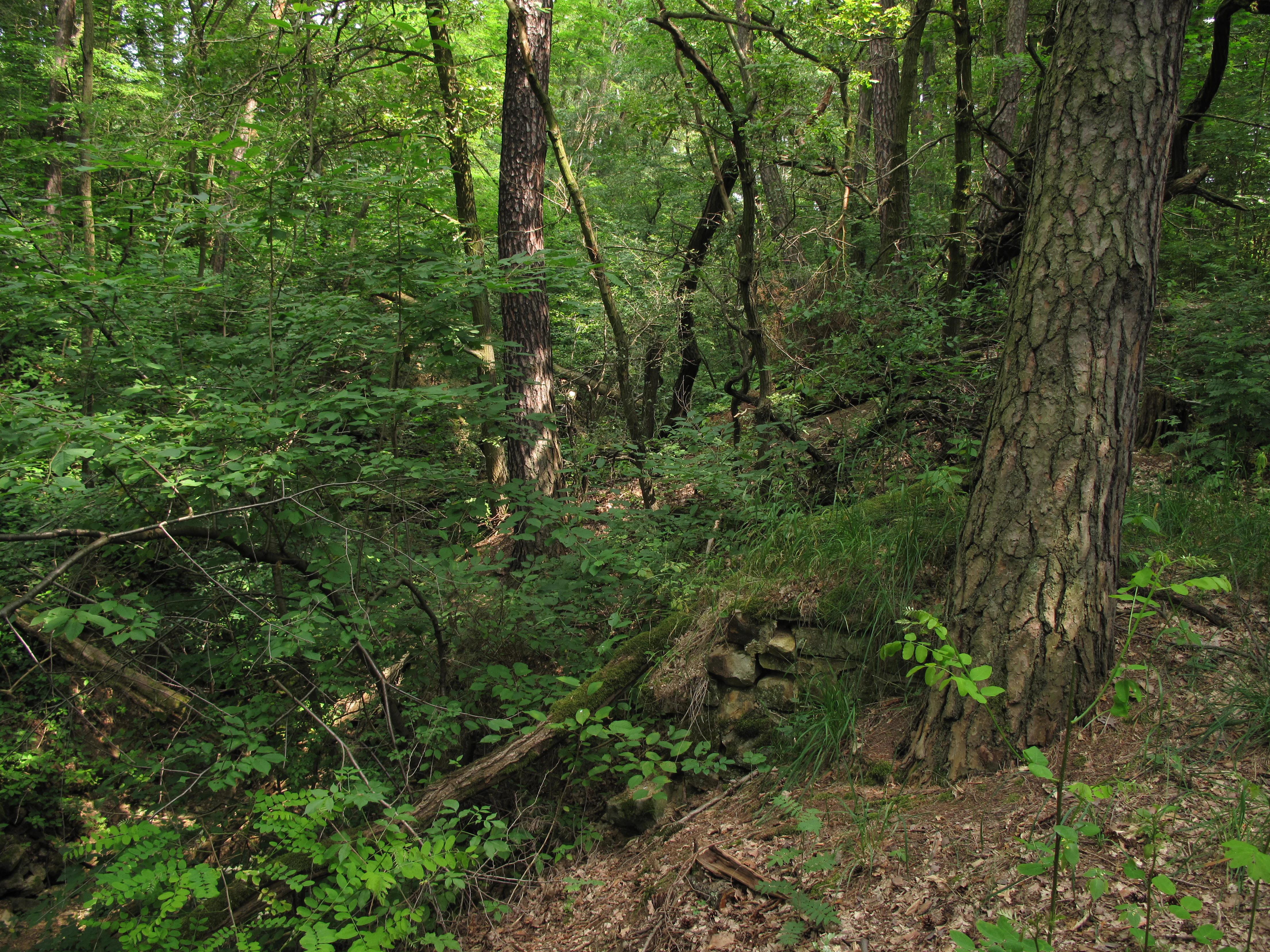
Rokycanská stráň history and protected-area timeline
Rokycanská stráň was formally designated as a protected natural monument on 1 March 1981 by decision of the Rokycany District National Committee. The timing reflects a broader late-twentieth-century push in Czechoslovakia to safeguard small but scientifically important geological and natural sites that had previously been vulnerable to casual collecting, quarrying, or urban encroachment.
The specific rationale for protection was the geological and paleontological value of the Ordovician rock exposures on the northern edge of Rokycany, rather than any broader landscape or ecological concern. The decision to declare the area was tied directly to the need to preserve the stratotype of the Klabava Formation and the associated fossil localities of the Šárka Formation at Drahouš from further loss through amateur fossil collecting.
Since its declaration, the reserve has been administered at the regional level, with authority passing to the Plzeň Region's administration after the restructuring of Czech territorial governance. The original unit boundaries and protective purpose have been retained, and the site continues to function primarily as a small but durable geological reference area within the Czech system of protected natural monuments.
Rokycanská stráň landscape and geographic character
Physically, Rokycanská stráň is a gently sloping terrain of low hills on the northern fringe of the town of Rokycany. Elevations within the reserve lie roughly between 350 and 394 meters above sea level, producing the kind of modest relief typical of the Bohemian uplands in this part of the Plzeň Region.
The surface expression of the protected area is defined more by geological structure than by dramatic topography. The slopes expose weathered beds of Ordovician clay shale, which weather into fine-grained, fissile rock fragments and produce the subdued, often vegetated slopes characteristic of the site. Ravines and small gullies cut into the hillside reveal fresher rock surfaces, and one of the site's most recognizable features is a small ravine exposure that has become associated with the public image of the reserve.
Because the reserve is composed of four separated parcels along the northern edge of Rokycany, its landscape character is fragmented. The Kalvárie, Husovy sady, and Valcha sections are embedded into the suburban edge of the town, while the Drahouš section sits a short distance away as a more open, rural outcrop. This urban-to-rural transition across the four pieces contributes to the varied local setting in which the geological exposures appear.
Rokycanská stráň ecosystems, habitats, and plant life
As a geological nature monument, Rokycanská stráň is defined primarily by its rock exposures rather than its habitats or biological communities. The substratum across the four protected sections consists of fine-grained, fossil-bearing clay shales of Ordovician age, and the ecological character of the site derives essentially from these rocks and the soils they generate through weathering.
Vegetation on the slopes is shaped by the underlying geology and the position of the parcels along the edge of the town. Shrubby and grassy cover typical of disturbed and semi-natural hillside environments dominates much of the surface, with patches of trees and urban-edge vegetation present around the suburban sections. The smaller, more isolated Drahouš section retains a more open, exposed character suitable for examining the rock surfaces that are the core reason for protection.
There is no record in the available sources of the reserve being managed primarily for habitat or species conservation, and its ecological importance is best understood as incidental to its geological focus rather than as a stand-alone natural value.
Rokycanská stráň wildlife and species highlights
The available source material does not describe distinctive or protected fauna associated with Rokycanská stráň. Because the reserve's designation is explicitly geological, focused on the protection of stratotype exposures and fossil assemblages rather than living wildlife, the site's significance is not tied to any particular animal populations, birdlife, or mammal presence.
Any wildlife present on the slopes is characteristic of the broader suburban and peri-urban environment of northern Rokycany, including the small habitats created by the ravines, slopes, and patches of woody cover within the four parcels, but no source-supported wildlife profile can be constructed from the documentation available.
Rokycanská stráň conservation status and protection priorities
The conservation meaning of Rokycanská stráň lies in the protection of scientifically important geological exposures rather than in any broader ecosystem or species program. Declared in 1981, the reserve was created specifically to preserve the stratotype of the Klabava Formation and the fossil-bearing outcrops of the Šárka Formation at Drahouš, both classic units of lower Ordovician stratigraphy in the Barrandian.
By legally shielding these rock surfaces from uncontrolled amateur fossil collecting and incidental disturbance, the protected status ensures that the reference sections and their diagnostic fossil assemblages remain available for future stratigraphic study, teaching, and correlation with other Ordovician sequences in central Europe. In this sense, the reserve functions as geological heritage conservation, protecting an outward-facing natural archive of early Paleozoic life.
Although the area covers only about 20.84 hectares, the level of protection it provides for these specific outcrops has been stable for more than four decades. Management authority rests with the Plzeň Region, which maintains the reserve as a dedicated geological reference site within the broader system of Czech small-scale natural monuments.
Rokycanská stráň cultural meaning and human context
Rokycanská stráň is closely tied to the long tradition of geological research in the Barrandian, the Paleozoic basin of central Bohemia named after the nineteenth-century French paleontologist Joachim Barrande, whose extensive work on Bohemian Paleozoic fossils shaped understanding of the region's stratigraphy. The Ordovician rocks exposed on the northern edge of Rokycany are part of the same broader succession that Barrande and his successors studied, and the site's protected exposures continue that scientific lineage.
The location on the urban edge of Rokycany also gives the reserve a subtle cultural dimension: the protected sections border the town, with place names such as Kalvárie reflecting centuries of local religious and civic tradition near the landscape that is now guarded for its geological record. The interplay between historical settlement patterns on the town's periphery and the modern scientific value of the underlying rocks is part of the context that surrounds the small nature monument.
Top sights and standout views in Rokycanská stráň
Rokycanská stráň stands out for the concentration of Ordovician reference geology packed into a few small parcels on the edge of a Czech town. Its principal highlight is the stratotype of the Klabava Formation, an internationally referenced section of lower Ordovician clay shale that defines the faunal biozones of that unit within the Barrandian.
Equally significant are the fossil-bearing exposures of the Šárka Formation at the Drahouš section, which complement the Klabava stratotype and broaden the site's stratigraphic window. The visible ravine exposures and the urban-edge setting of the Kalvárie, Husovy sady, and Valcha parcels add an additional dimension, showing how scientifically important geology can sit at the direct interface between a working town and the natural landscape around it.
Best time to visit Rokycanská stráň
Rokycanská stráň is a geological reserve rather than a destination defined by seasonal scenery, so the value of a visit is relatively stable across the year. Spring and early autumn tend to favor clearer ground conditions on the slopes, when vegetation is less dense and the exposures are easier to approach. Summer offers the longest daylight and warmest conditions for walking along the suburban edges of the reserve, while the bare slopes of winter can make rock surfaces easiest to see but also bring shorter days and colder weather.
Because the site's significance lies in rock exposures and reference outcrops, any season in which the relevant sections are safely accessible and visible will serve a visit well, with personal comfort and visibility preferences guiding the timing more than dramatic seasonal change.