
Mori Atlas logo
Nature reserveRoßbachtal bei Völkershain

A defined stream valley habitat within the Knüllgebirge foothills of northern Hesse

Roßbachtal bei Völkershain Nature Reserve: Protected Landscape and Geographic Atlas Context

Roßbachtal bei Völkershain preserves 114 hectares of valley terrain where the Roßbach stream shapes a mosaic of open meadows and adjoining deciduous woodlands. Situated on the eastern slopes of the Exberg in the Knüllgebirge, the reserve maintains a distinct low-mountain landscape. This protected area integrates national nature reserve status with European Natura 2000 habitat designations to manage this specific central German valley corridor.

nature reservestream valleymeadow habitatdeciduous forestKnüllgebirgeHesse
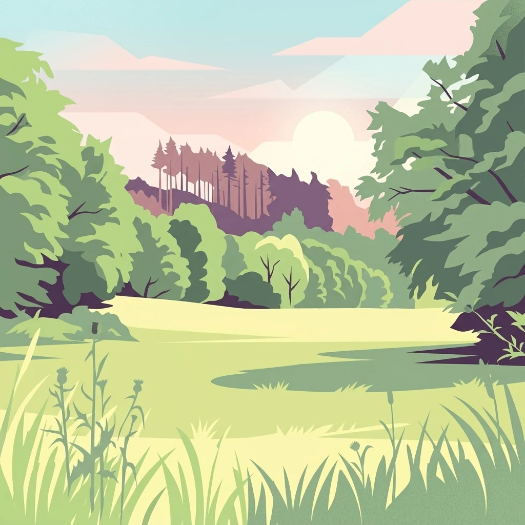
A digital illustration showing a green meadow in the foreground with a forested hillside in the background under a soft pastel sky.

Roßbachtal bei Völkershain

Nature reserve

Park overview

Structured park overview, official facts, and landscape profile for Roßbachtal bei Völkershain

Roßbachtal bei Völkershain park facts, protected area profile, and essential visitor context

Review the core facts for Roßbachtal bei Völkershain, including designation, size, terrain, visitor scale, habitats, and operating context in one park-focused overview.

About Roßbachtal bei Völkershain

Roßbachtal bei Völkershain is a compact, ecologically focused nature reserve in the Schwalm-Eder-Kreis district of Hesse, in the central-western part of Germany. It is situated in the foothills of the Knüllgebirge, a low mountain range that runs through northern Hesse, and protects a defined stretch of valley landscape associated with the Roßbach stream.

The area was placed under formal nature protection in 1988, and its boundaries are identical to the contiguous FFH site that contributes to the European Natura 2000 network. This one-to-one overlap between national and European designations means the same 114 hectares are managed simultaneously under Hessian nature reserve law and under the European Union's Habitats Directive framework. Such alignment is relatively common for German nature reserves that were later recognized as FFH sites, and it means that international species and habitat commitments are integrated directly into the area's day-to-day protection regime.

Geographically, the reserve sits within the municipality of Knüllwald, between the villages of Völkershain to the southwest and Nausis to the east. It is bounded to the north by the Landesstraße L 3465, to the south by the L 3153, and to the west by the A 7 motorway corridor. Despite its modest size, the location within a low-mountain valley gives it a clear ecological identity: a stream-centered corridor that links upland forest with valley-floor grassland, set against the backdrop of the Exberg, a summit reaching approximately 510 meters in elevation.

Quick facts and research context for Roßbachtal bei Völkershain

Roßbachtal bei Völkershain lies in the Schwalm-Eder-Kreis in northern Hesse, Germany, with a portion extending into the neighboring Landkreis Hersfeld-Rotenburg. It was designated as a nature reserve in 1988 and carries the official German identifier 1634018, while its FFH designation under Natura 2000 is DE5022301 (5023-301).

The reserve spans roughly 114 hectares of valley terrain east of the Exberg summit in the Knüllgebirge, at elevations between approximately 320 and 480 meters. It carries an IUCN Category IV classification, indicating it is managed primarily for the conservation of particular habitats and species rather than for broader ecosystem or wilderness values.

Protection and recognition

Documented protection records and official international recognition for Roßbachtal bei Völkershain

Roßbachtal bei Völkershain Protection Status and Natura 2000 Recognition

Protected area records for Roßbachtal bei Völkershain compile official Natura 2000 listings and international designation data. Reference entries outline verified conservation frameworks and structured recognition metrics for the protected landscape.
Park context

Deeper park guide and search-rich context for Roßbachtal bei Völkershain

Roßbachtal bei Völkershain history, landscape, wildlife, and travel context

Explore Roßbachtal bei Völkershain through its history, landscape character, ecosystems, wildlife, conservation priorities, cultural context, and seasonal travel timing in a structured park guide built for atlas discovery and search intent.

Why Roßbachtal bei Völkershain stands out

Roßbachtal bei Völkershain is best known for protecting a narrow valley landscape where a small stream, the Roßbach, supports a mosaic of valley meadows and adjacent forest. The combination of meadow habitat set against wooded slopes within a low-mountain setting is the reserve's defining characteristic. The site also stands out for its administrative efficiency: the German nature reserve designation and the European FFH designation cover exactly the same surface area, reflecting an integrated approach to national and European habitat protection.
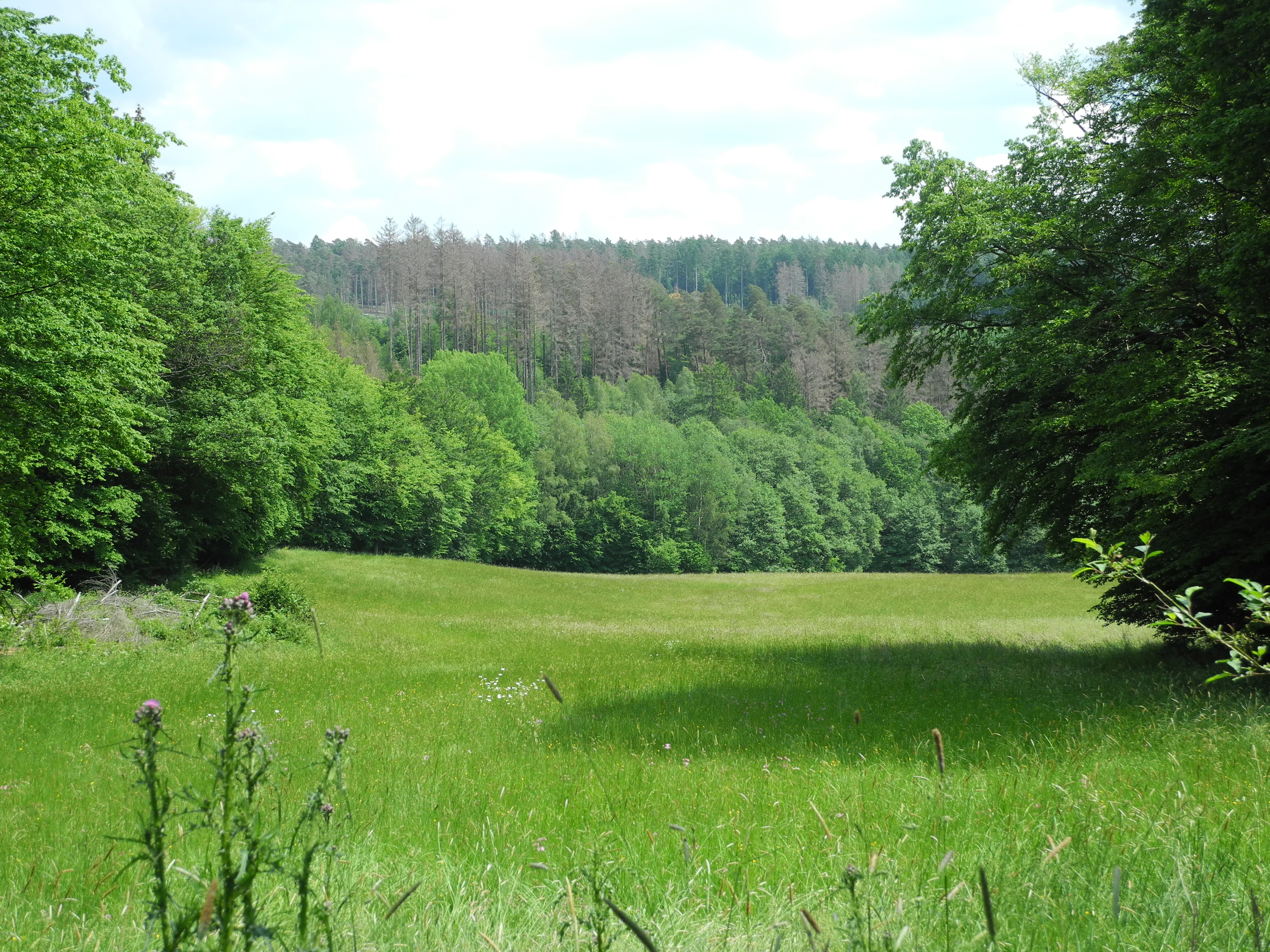
A wide view of a vibrant green meadow framed by dense deciduous trees, with a forested hillside in the background.
A view of the open meadow and surrounding forest within the Rossbachtal bei Volkershain nature reserve.

Roßbachtal bei Völkershain history and protected-area timeline

The Roßbachtal bei Völkershain area was formally designated as a German nature reserve (Naturschutzgebiet) in the year 1988, receiving the official identifier 1634018. This placement under protection reflected an effort to safeguard small valley habitats in the Knüllgebirge foothills of northern Hesse from intensifying land use and forestry pressures.

Later, the site's significance was reinforced at the European level through its inclusion in the Natura 2000 network as an FFH (Flora-Fauna-Habitat) site under the designation 5023-301, carrying the standardized identifier DE5022301. The fact that the FFH boundary exactly matches the existing nature reserve boundary is itself a notable aspect of the site's history, indicating that the original 1988 designation was considered sufficient to fulfill the European habitat-protection requirements without further expansion of the protected footprint.

Roßbachtal bei Völkershain landscape and geographic character

Roßbachtal bei Völkershain occupies a narrow valley oriented along the Roßbach stream, a tributary of the Breitenbach that flows southward into the broader Efze river system. The valley corridor gives the reserve a clearly defined, linear landscape character, with meadow habitat occupying the valley floor and forest spreading across the adjoining slopes.

The reserve lies on the lower flanks of the Knüllgebirge, east of the Exberg summit, which rises to around 510 meters above sea level. Elevations within the protected boundary range from about 320 meters in the lower parts to roughly 480 meters higher up, placing the area firmly within the gentle, forested uplands typical of the central German Mittelgebirge.

Surrounding transport corridors, including the Landesstraßen L 3465 and L 3153 and the A 7 motorway to the west, frame the valley without dominating it. Despite this proximity to infrastructure, the valley retains a relatively enclosed feel, defined by the meeting of open meadow and woodland on either side of the stream.

Roßbachtal bei Völkershain ecosystems, habitats, and plant life

Ecologically, Roßbachtal bei Völkershain functions as a small, stream-centered habitat mosaic in the Knüllgebirge. The combination of valley meadow (Wiesental) and adjoining forest is the core of its ecological character, providing both open-ground and shaded forest conditions within a single compact protected perimeter.

As an IUCN Category IV area, the reserve is managed primarily for habitat and species conservation, meaning the aim is not strict wilderness protection but rather the maintenance of the specific habitat composition that supports the species for which the site was recognized. The integration of the area into the European Habitats Directive network further ties its management to the conservation of particular habitat types listed at the EU level.

The Knüllgebirge foothills more broadly support mixed deciduous forest communities typical of the central German uplands, and the inclusion of both forest and meadow within the reserve boundary reflects a recognition that the ecological value of the valley depends on maintaining that interfaced landscape rather than on either habitat type alone.

Roßbachtal bei Völkershain wildlife and species highlights

The source material does not provide detailed species inventories for Roßbachtal bei Völkershain, and the Wikipedia-derived content focuses on the area's administrative and habitat designation rather than on specific fauna. As an FFH site, the reserve is nonetheless expected to contribute to the conservation of habitat types and species listed under the European Habitats Directive, even though those species and habitat details are not articulated in the available text.

Given the site's character as a mixed meadow-and-forest valley in a central German upland setting, it would be expected to support typical regional forest birdlife, small mammals associated with deciduous woodland edges, and stream-related invertebrates along the Roßbach corridor, but these specifics cannot be asserted from the source material.

Roßbachtal bei Völkershain conservation status and protection priorities

Roßbachtal bei Völkershain holds a significant conservation role at both the Hessian state level and the European Union level. As a formally designated Naturschutzgebiet since 1988, it is part of the system that protects roughly 114 hectares of valley habitat in the Knüllgebirge foothills, with protections including restrictions on land use and management regimes aimed at preserving the existing meadow-and-forest mosaic.

Its simultaneous recognition as an FFH site under the Natura 2000 network adds a European conservation dimension, anchoring the reserve's management to the Habitats Directive and connecting it to the wider European effort to maintain threatened habitat types and species. The reserve's IUCN Category IV classification reflects this management-oriented approach: rather than being set aside as wilderness, the area is actively managed to ensure that specific habitat conditions, and the species that depend on them, are preserved.

The exact overlap between the national and European boundaries also strengthens the conservation picture, ensuring that legal protection and habitat management are aligned across administrative levels.

Roßbachtal bei Völkershain cultural meaning and human context

The Roßbachtal bei Völkershain area is part of a rural landscape in northern Hesse that has long been shaped by small-scale agriculture and forestry in the Knüllgebirge foothills. The presence of traditional valley meadows (Wiesental) reflects a long-standing pattern of grassland use in the valley floors of central German low mountain regions, where communities historically combined forest use with meadow hay production.

The surrounding villages of Völkershain and Nausis, both part of the municipality of Knüllwald, anchor the reserve in a settled rural landscape, and the inclusion of the valley within a protected area reflects the modern effort to preserve such traditional land-use patterns as a component of regional identity and ecological value. The source material does not provide deeper cultural or historical narrative beyond this general regional context.

Top sights and standout views in Roßbachtal bei Völkershain

The reserve's clearest highlights are its compact scale, its stream-centered geography, and the unusual alignment between its German nature reserve status and its European FFH status. The 114-hectare boundary encompasses a complete valley unit of meadow and forest on the eastern flank of the Exberg.

Its location within the municipality of Knüllwald, between the villages of Völkershain and Nausis, places it in a recognizable regional setting within the Knüllgebirge, while its elevation range of about 320 to 480 meters confirms its character as a low-mountain valley habitat rather than a high-alpine or lowland site.

Best time to visit Roßbachtal bei Völkershain

The source material does not provide season-specific guidance for visiting Roßbachtal bei Völkershain. As a small valley nature reserve in the central German low mountains, it would generally be most visually engaging when valley meadows are in bloom, a period which in Hesse typically corresponds to late spring and early summer. Without explicit seasonal information from the sources, detailed timing recommendations cannot be reliably asserted.

Monthly climate preview

Long-term representative monthly temperature and precipitation patterns across the protected landscape

Roßbachtal bei Völkershain Climate Normals and Annual Temperature Rhythm

Representative coordinate records show measured monthly temperature fluctuations alongside consistent precipitation averages across the protected terrain. Examining the complete twelve-month climatology profile reveals deeper multi-year environmental rhythms for the protected area.
Annual mean9 °C
-1 °C19 °C
Jan-1°
Feb
Mar
Apr
May12°
Jun16°
Jul19°
Aug18°
Sep14°
Oct
Nov
Dec
Warmest month
July

18.6 °C

Coolest month
January

-0.8 °C

Wettest month
July

2.5 mm/day

Driest month
April

1.4 mm/day

Park location guide

Geography guide, regional context, and park location map for Roßbachtal bei Völkershain

Roßbachtal bei Völkershain park geography, regions, and map view in Germany

Understand where Roßbachtal bei Völkershain sits in Germany through a broader geographic reading of the surrounding landscape, nearby location context, and its mapped position within the national park landscape.

How Roßbachtal bei Völkershain fits into Germany

Germany is a federal republic in Western and Central Europe with a population of over 83 million across sixteen constituent states. It is Europe's largest economy by nominal GDP and a major global exporter and importer. The capital is Berlin, and the country borders Denmark, Poland, Czech Republic, Austria, Switzerland, France, Luxembourg, Belgium, and the Netherlands.

Wider geography shaping Roßbachtal bei Völkershain in Germany

Germany is located in Western and Central Europe, spanning 357,022 km². It borders Denmark to the north, Poland and the Czech Republic to the east, Austria and Switzerland to the south, and France, Luxembourg, Belgium, and the Netherlands to the west. The country has coastlines on the Baltic Sea and North Sea to the north, with the Alps located in the southern region.

Map view of Roßbachtal bei Völkershain

Use this park location map to pinpoint Roßbachtal bei Völkershain in Germany, understand its exact geographic position, and read its mapped placement within the surrounding landscape more clearly.

Pigeon | © OpenStreetMap contributors

Location context for Roßbachtal bei Völkershain

Hesse
Recorded earthquake history

View the Historical Earthquake Catalogue for Roßbachtal bei Völkershain

Review recorded seismic activity associated with the valley of Roßbachtal bei Völkershain. This collection provides transparent access to historical data points, including event dates and magnitudes, for those examining the seismic context of the Knüllgebirge foothills.

Roßbachtal bei Völkershain Earthquake History

Catalogued events

3 events

Strongest magnitude

Magnitude 5.3

Most recent event

Sep 22, 2005

This history includes earthquakes recorded inside the park or within 50 km of its borders

Visualizing valley meadows, stream corridors, and low mountain forest habitats

Roßbachtal bei Völkershain Photos and Landscape Scenery

Visual documentation captures the narrow stream valley and wooded slopes that define Roßbachtal bei Völkershain. Examining field photographs reveals the mosaic of open meadow and contiguous deciduous woodland across the Knüllgebirge foothills.

A wide view of a vibrant green meadow framed by dense deciduous trees, with a forested hillside in the background.

Park atlas

Compare surrounding valley landscapes and regional nature reserves across Hesse

Explore Other Parks and Protected Areas Near Roßbachtal bei Völkershain

Browse adjacent protected areas and stream-centered habitats located throughout the surrounding Knüllgebirge uplands. Compare regional park geography to understand the broader network of low-mountain conservation zones.
A watercolor painting showing a soft, stylized landscape of green hills, a winding stream, and coniferous forest sections under a pale sky.
Nature reserveHesse
About 5.1 km away#1 closest

Northwest

Eichelskopf Nature Reserve: Protected Geological and Historical Landscapes in Hesse

Regional conservation profile and mapped boundaries in Schwalm-Eder.

Examine the conservation history of Eichelskopf, a key nature reserve in the Schwalm-Eder district of Hesse. Established in 1927, this site remains a vital point of interest for understanding the evolution of species protection and geological heritage management in central Germany.

Area
0.027 km²
Established
1927
Scope
Terrestrial
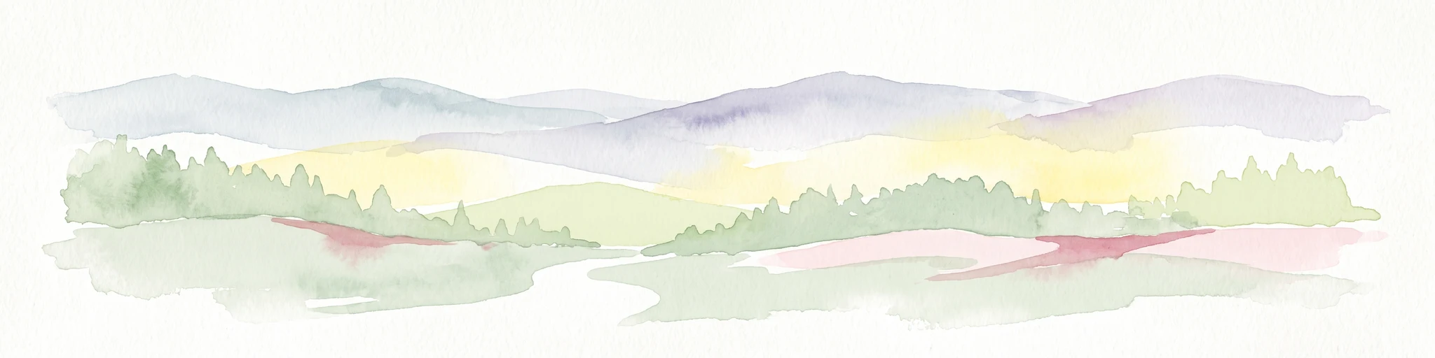
A watercolor painting showing a wide, panoramic view of soft, rolling hills with patches of forest, rendered in muted pastel colors.
Protected landscapeHesse
About 7 km away#2 closest

Southwest

Naturpark Knüll: Geography, Basalt Formations, and Protected Areas of Northern Hesse

An expansive cultural landscape defined by volcanic ridges and riverine habitats

Naturpark Knüll offers a deep look into the geological and structural diversity of the Knüllgebirge. By mapping the transitions between bunter sandstone, basalt hilltops, and fertile floodplains, this resource highlights the region's role in biodiversity conservation and sustainable land management across the Schwalm-Eder and Hersfeld-Rotenburg districts.

Area
832.58 km²
Established
2021
Relief
Mountain
Climate
Temperate
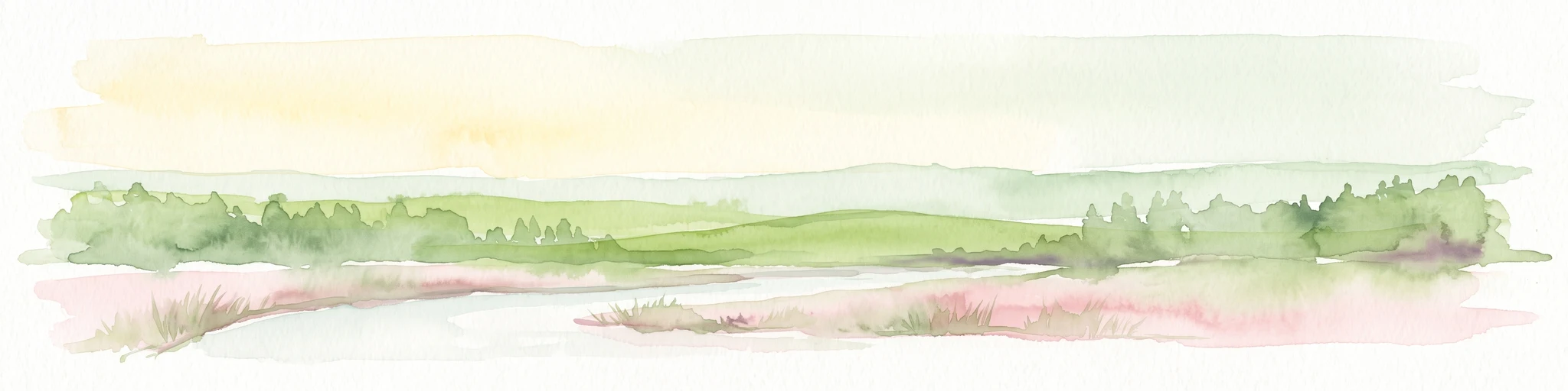
A wide watercolor illustration showing a pale sky above a line of green trees and a foreground of pink and green grassy meadows.
Nature reserveSchwalm-Eder-Kreis
8.6 km away#3 closest

Northwest

Mosenberg bei Homberg Nature Reserve: Mapped Protected Landscape and Regional Geography

Nature reserve terrain in the Schwalm-Eder-Kreis district of northern Hesse

Spanning 64 hectares, Mosenberg bei Homberg preserves a diverse mixture of traditional agricultural landscapes including open grasslands and wood-pastures. The area provides a critical habitat for specialized birds, defined by its steep basalt scree and proximity to the Klingelbach stream. This site offers a clear example of how historic coppice woodland systems maintain significant biodiversity across the northern Hesse region.

Area
0.646 km²
Established
1986
Relief
Upland
Climate
Temperate
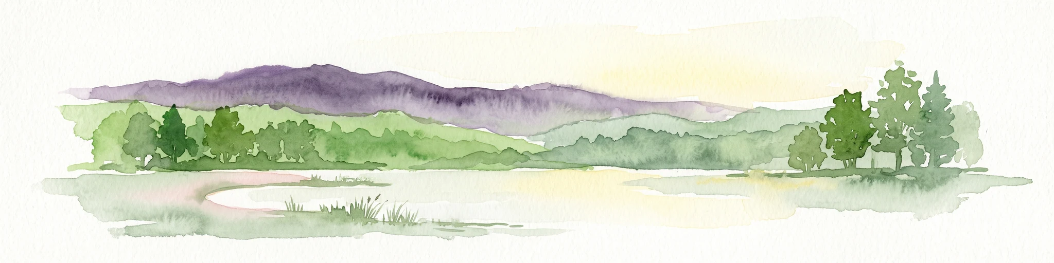
A horizontal watercolor painting of a serene lake bordered by a shoreline with trees and distant rolling hills against a soft background.
Nature reserveSchwalm-Eder-Kreis
About 9.5 km away#4 closest

North

Goldbergsee Nature Reserve and Mapped Protected Landscapes in Schwalm-Eder-Kreis

Ecological transition and inland water-body geography.

Goldbergsee stands as a prime case study of industrial renaturalization in northern Hesse. This protected nature reserve, characterized by its clear spring-fed water and successional woodland habitat, offers a window into how former open-cast mining sites evolve into ecologically balanced water bodies within the Schwalm-Eder-Kreis mountain foothills.

Established
1991
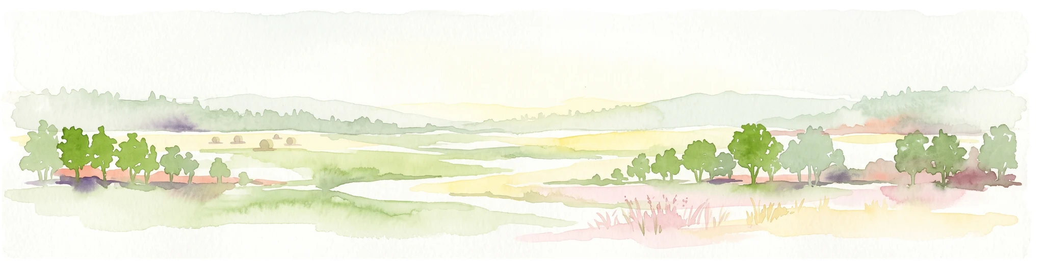
A soft, panoramic watercolor painting depicting a green floodplain with a winding river, scattered trees, and rolling hills in the distance.
Nature reserveSchwalm-Eder-Kreis
11 km away#5 closest

Northeast

Fuldatal bei Konnefeld: Protected Floodplain and Wetland Geography in Schwalm-Eder-Kreis

An essential river valley habitat and nature reserve in northern Hesse

Fuldatal bei Konnefeld is a compact, high-value nature reserve situated along the Fulda river valley. The landscape is defined by its old river oxbows, soft-wood forest galleries, and species-rich hay meadows. This resource provides a focused geographic overview of its protected status as a Natura 2000 site and its function as a vital wildlife corridor.

Area
0.169 km²
Established
1989
IUCN
IV
Relief
Lowland
A watercolor illustration showing a winding river flowing through a grassy field, with a cluster of green trees on the right and soft pink and gray hills in the background.
Nature reserveGermany
About 12 km away#6 closest

Northeast

Kiesgrube bei Baumbach Nature Reserve: River Meander and Wetland Geography in Germany

A preserved riparian landscape and bird habitat in northern Hesse

Located along the middle Fulda, this nature reserve represents an engineered success story where a former quarry transformed into a vital wetland ecosystem. Its shallow lake margins, willow thickets, and floodplain forests create a critical protected area for local waterbird populations, serving as an essential node within the Auenverbund Fulda floodplain conservation network.

Area
0.23 km²
Established
1995
Relief
Lowland
Climate
Temperate
Watercolor illustration of a dirt path leading through green fields towards a distant line of trees and rolling hills against a white background.
Nature reserveHesse
About 13 km away#7 closest

Southwest

Buchenbachtal bei Christerode Nature Reserve: Protected Landscape and Regional Geography

Mapped stream corridors and wet meadow ecosystems in Hesse

Located in central-western Germany, Buchenbachtal bei Christerode focuses on the conservation of small low-mountain streams and broadleaf forest transition zones. This nature reserve provides a essential look at riparian habitat management and the traditional agricultural integration that shapes the natural terrain of the northern Hessian region.

Area
120.5 km²
Established
1995
Water
Major water bodies
A pale, panoramic watercolor painting of a wetland landscape with a row of trees on the right side and low hills in the distance.
Nature reserveLandkreis Hersfeld-Rotenburg
About 14 km away#8 closest

East

Im Sand bei Rotenburg Nature Reserve: Mapping the Fulda River Floodplain and Wetland Mosaic

A structured floodplain refuge in Landkreis Hersfeld Rotenburg

Located in the low-lying reaches of the Fulda River, Im Sand bei Rotenburg represents a significant shift from industrial land use to a protected, structurally rich riverine mosaic. The area features a complex of water-filled pits, reedbeds, and alluvial forest patches that serve as a crucial migratory stopover for diverse waterbird populations in northeastern Hesse.

Area
0.102 km²
Established
1997
IUCN
IV
Relief
Lowland

Common questions about visiting, size, designation, and location context for Roßbachtal bei Völkershain

Roßbachtal bei Völkershain FAQs for park facts, access, geography, and protected area context

Find quick answers about Roßbachtal bei Völkershain, including protected-area facts, park geography, trail and visitor context, and how the park fits into its surrounding country and regional landscape.
MoriAtlas Explorer

Continue Your Protected Areas Search Across the Global Atlas

Deepen your exploration by continuing the structured search for national parks and protected areas worldwide. Utilize the comprehensive filtering capabilities to compare different conservation landscapes and refine your understanding of global park geography. Discover more about the distribution and characteristics of protected natural areas.

Global natural geography