
Why Salten Å stands out
Salten Å is best known for anchoring one of Denmark's least disturbed natural valleys, a quiet corridor of heath, forest, and freshwater that supports internationally designated protection through the Natura 2000 network. The stream is recognized as a key tributary feeding the broader Gudenå catchment, and its surrounding valley is valued for its unbroken sequence of inland Scandinavian habitats ranging from old mill sites and inland cliffs to broadleaf forests and spring-fed meadows.
Salten Å landscape and geographic character
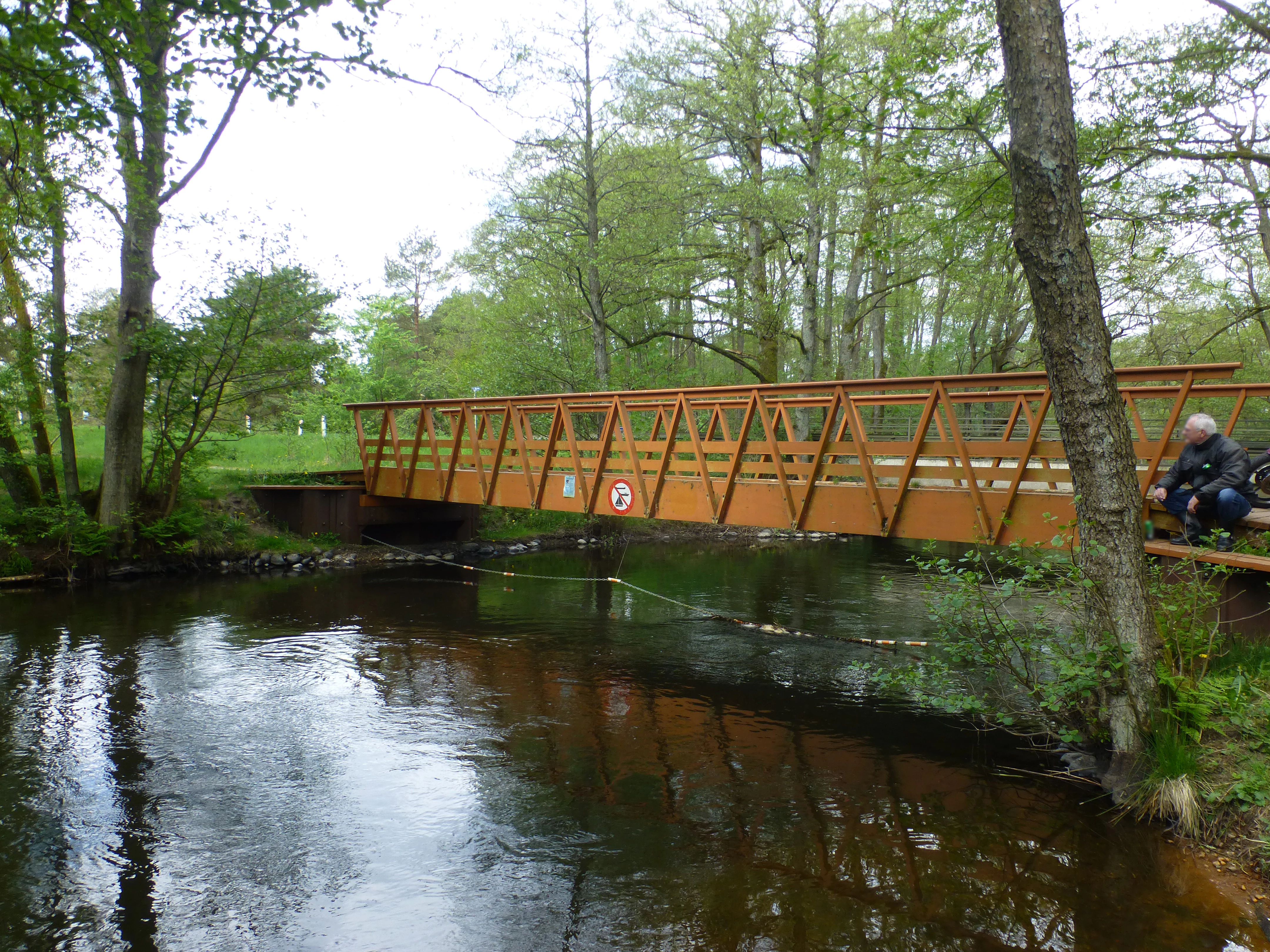
The Salten Å valley follows a classic central Jutland sequence, moving from open upland heath in the north toward forested valley slopes and finally into lowland lake-and-river terrain. Its headwaters rise along the sandy Sepstrup Sande heath, one of the characteristic inland dunes and moor landscapes of the region. From there the stream cuts through the conifer plantation of Skærbæk Plantage and into the rolling valley around Ansø Mølle, where the presence of spring-fed wet meadows reshapes the valley floor into a softer, greener depression.
Further east, the course is shaped by the protected landscapes of Snabegård and Vrads Sande, and by the wooded southern slopes of Velling Skov. The terrain changes again at Salten Profilet, where an inland cliff on the northern side of the river exposes older geological layers that contrast with the gently modeled valley floor. Past Katrinedal Mølle, the stream continues into broader lowlands, briefly entering the long, narrow stretch of Salten Langsø before joining the major Gudenå system between the larger lakes of Mossø and Gudensø.
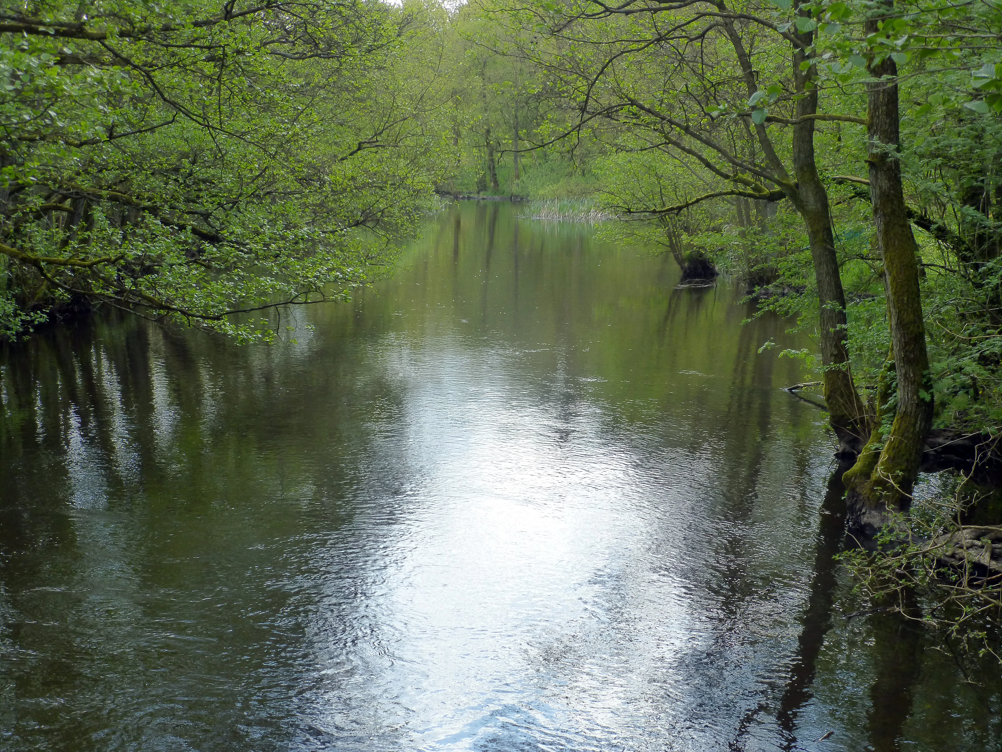
Salten Å ecosystems, habitats, and plant life
The Salten Å valley preserves a layered mosaic of inland Jutland ecosystems that remain unusually intact. Heathland vegetation dominates the higher watershed area around Sepstrup Sande, while the valley floor at Ansø Enge is shaped by active spring-fed seepage communities that feed directly into the stream. The middle and lower sections of the valley are characterized by mixed and broadleaf forest, including the wooded slopes of Velling Skov, as well as protected conservation zones around Snabegård and Vrads Sande.
Lakes and tributaries contribute additional ecological variety: the stream receives water from the small lake chain of Kulsø, Kvinsø, and Bryrup Langsø via Lystrup Å, and itself opens briefly into the long ponded segment of Salten Langsø. The overall valley thus functions as a continuous ecological gradient, from open heath to seepage meadow, broadleaf woodland, and the larger freshwater bodies that connect to Gudenå.
Salten Å conservation status and protection priorities
Much of the Salten Å valley is recognized as one of Denmark's least disturbed natural areas. A significant portion of the stream's course is included within the Natura 2000 international network of protected nature sites in Denmark, with the relevant designations falling under protected areas numbered 52 and 53. Local conservation orders also apply to specific sections, including the protected area around Snabegård and Vrads Sande, helping to preserve the continuity of heathland, wetland, and forest habitats along the stream.
Top sights and standout views in Salten Å
Salten Å is distinguished by a near-unbroken corridor of inland Jutland scenery stretching from heath to broadleaf forest, and by the remarkable ecological integrity of its valley. The stream connects several distinct protected zones, including Sepstrup Sande, Skærbæk Plantage, Snabegård-Vrads Sande, and Salten Profilet, before reaching Salten Langsø and the lower Gudenå. Its integration into the Natura 2000 protected area network underscores its regional importance as both a freshwater resource and a refuge for traditional inland Jutland habitats.