Peaks
Shirley Peak
2,164 m

Explore recorded terrain measurements, mountain elevations, and land classifications.
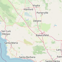
Analyze the spatial extent and physical geography of Sequoia National Forest, a protected landscape spanning 4,829.17 square kilometers in California. This profile details the vertical relief from 300 to 3,700 meters, alongside categorized alpine meadows, forests, and identified natural saddles and peaks.
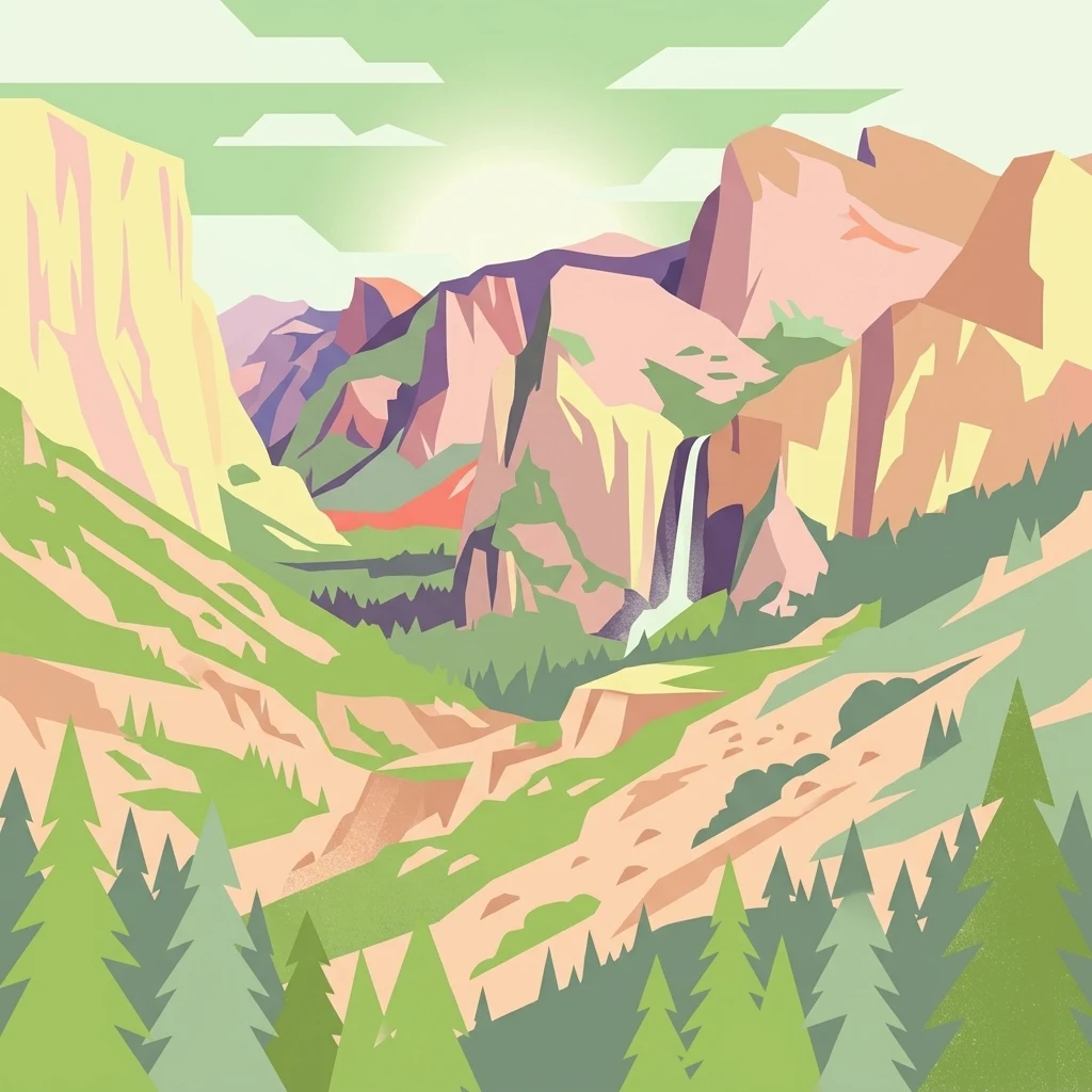
Southern Sierra Nevada forest protecting dozens of Giant Sequoia groves, glacier-carved granite landscapes, and one of the largest contiguous protected mountain ecosystems in California.
Sequoia National Forest is a vast U.S. national forest in the southern Sierra Nevada of California, spanning more than 1.1 million acres across Tulare, Kern, and Fresno counties. Established in 1908 and administered by the U.S. Forest Service, it is named for the iconic Giant Sequoia trees that grow in dozens of distinct groves scattered across its mountainous terrain. The forest occupies a strikingly diverse landscape that rises from about 1,000 feet in the western foothills to over 12,000 feet along the high Sierra crest. Beyond its celebrated sequoia groves, the forest encompasses glacier-carved canyons, granite monoliths, alpine meadows, chaparral slopes, and remote wilderness areas. Its proximity to Sequoia and Kings Canyon National Parks makes it part of a larger connected protected ecosystem in the southern Sierra. Sequoia National Forest is also a landscape shaped by recent disturbance. Severe wildfires in 2020 and 2021 burned through many of its giant sequoia groves, killing thousands of mature trees and raising urgent questions about fire management and climate resilience for one of the world's most extraordinary forest species.
Protected area memberships across California and the United States
Sequoia National Forest maps 4,829.17 km² of recorded land
Vertical range summary and recorded mountain terrain features
Peaks
2,164 m
Forests
1,960 m
Wetlands
2,215 m
Streams
Streams
Streams
Analysis of montane relief, Mediterranean climate zones, and forest cover
Mountains · Valleys · Cliffs · Forest · Wetland · Lakes · Rivers · Glacier
Temperate coniferous forest · Montane forest · Alpine meadow · Wetland
Compare adjacent mountain terrain, high Sierra watersheds, and regional forest reserves.
Southeast

A protected wilderness landscape on the California high plateau
Spanning over 130,000 acres, Domeland Wilderness offers a deep look into the geological transition zone of the southern Sierra Nevada. The protected landscape is characterized by its iconic granite domes and spires, vast summer range meadows for deer, and the winding course of the Wild and Scenic South Fork Kern River. This atlas entry details the rugged terrain, ridge boundaries, and ecological diversity found across this lightly visited high-altitude wilderness.

North
High altitude wilderness and volcanic terrain in Eastern California
Spanning from the arid Owens Valley floor to the 14,000 foot crest of the Sierra Nevada, Inyo National Forest remains a cornerstone of the American West. This protected landscape contains the Ancient Bristlecone Pine Forest, Mount Whitney, and the Mono Inyo volcanic chain, providing a dense geographic record of glacial, tectonic, and ecological diversity across a vast managed corridor.
North
High-country geography and wilderness boundaries
Jennie Lakes Wilderness offers a distinct look at high Sierra Nevada topography, featuring granite ridges, alpine lakes, and deep canyons. This Tulare County reserve acts as a critical transition zone between adjacent national parks, preserving a diverse mix of subalpine forests and rugged mountain peaks within its 10,500 acre boundary.
Southeast
Protected desert wilderness in Kern County, California
Kiavah Wilderness provides a vital protected landscape in Kern County, defined by the Scodie Mountains and a dramatic escarpment above the Mojave Desert floor. Known for its rare pinyon-juniper woodlands and seasonal springs, this wilderness area preserves the complex geography linking the southern Sierra Nevada to the broader Mojave basin.
North
Mapped park boundaries and regional natural context.
Kings Canyon National Park stands as a key protected national park within California, offering a specific focus for geographic understanding and atlas-based exploration. This page details the park's mapped boundaries and its integration into the broader regional geography of California. For users interested in the distribution of protected lands and the mapping of natural landscapes, Kings Canyon National Park provides a crucial point of study within the comprehensive park atlas.
North
Explore mapped boundaries and the terrain of this California protected area.
Gain a structured understanding of Sequoia National Park as a protected landscape, focusing on its mapped geographic boundaries and its context within California. This entry provides foundational data for exploring the park's natural terrain and its role in a broader atlas of conservation lands, ideal for users seeking detailed geographic information.

North
Geography of alpine lakes, conifer forests, and mountain basins
Spanning from 900 to nearly 14,000 feet in elevation, Sierra National Forest protects a massive vertical range of California terrain. Discover its iconic wilderness areas and reservoir-studded landscape, providing a deep look at the geographic connectivity between major national parks in the central Sierra Nevada.

North
California wilderness area with glacial basins and granite peaks
John Muir Wilderness represents one of the largest protected high-elevation areas in the contiguous United States. Spanning the Sierra Nevada crest, its granite terrain is sculpted by Pleistocene glaciation into sharp arêtes, deep canyons, and hundreds of alpine lakes. This wilderness serves as a vital geographic anchor for mountain ecosystems, offering an extensive look at the high-country landscape of eastern California.
Examine the expansive protected terrain and ecological zones of Sequoia National Forest through the MoriAtlas mapping resource. Gain a deeper understanding of this southern Sierra Nevada landscape, including its river watersheds, granite landforms, and significant giant sequoia distribution across the region.