
A comprehensive index of glacial landforms, river sources, and alpine habitats defining this massive massif.
Named Geographic and Natural Features of Serra da Estrela Natural Park in Central Portugal
This collection serves as a focused atlas for the named natural features occurring within or adjacent to the boundaries of Serra da Estrela Natural Park. The database organizes diverse geological, hydrological, and alpine entities, mapping the remnants of Quaternary glacial processes and the rugged granite terrain that characterizes the highest mountain range in Continental Portugal. Users can investigate specific landforms, including glacial valleys, plateau springs, and rocky massifs, to understand the complex physical geography of this protected landscape.
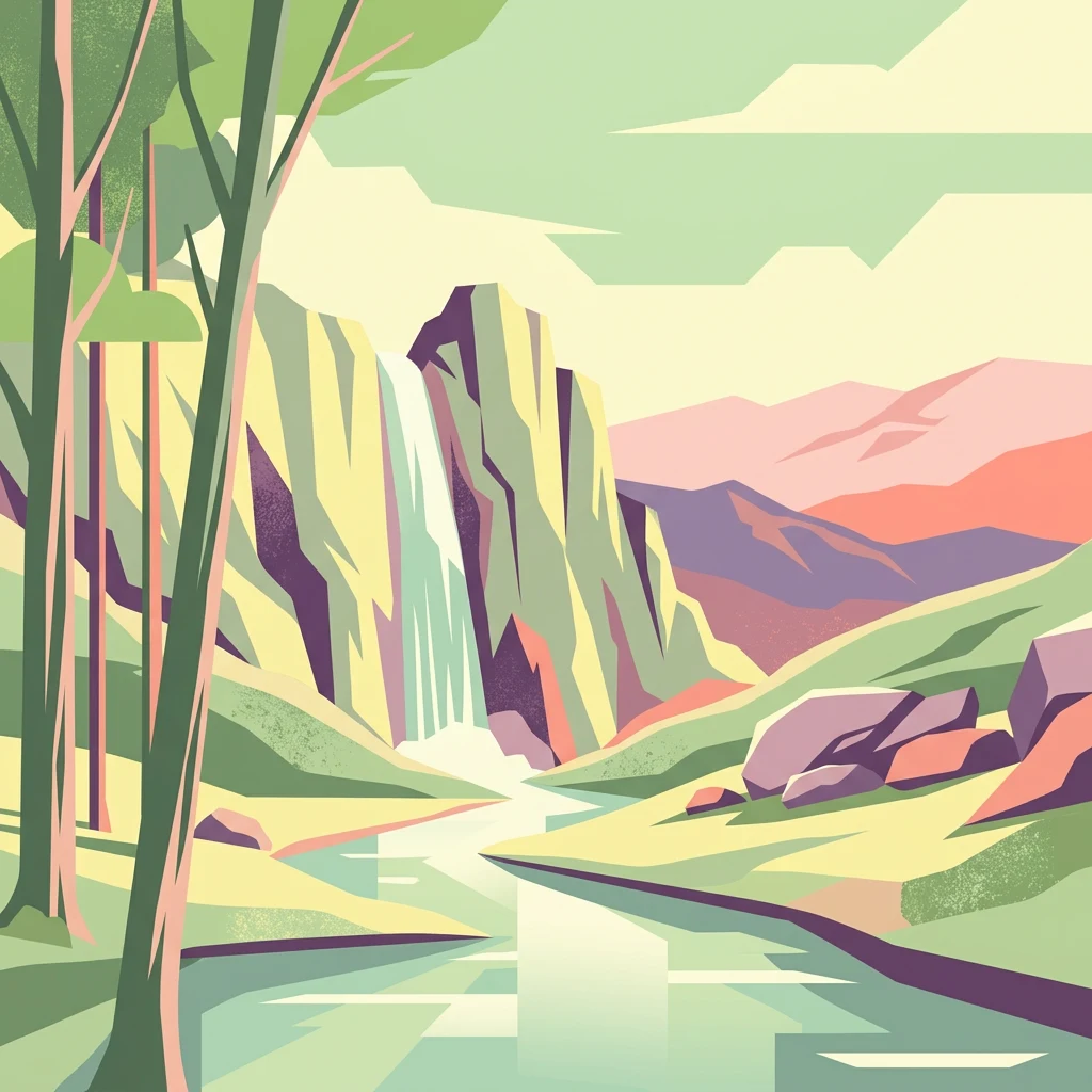
Tracing the glacial valleys, granite peaks, and headwaters defining Portugal's highest massif.
Geographic Landmarks and Natural Features of Serra da Estrela Natural Park
Serra da Estrela headwater geography
Rivers
Compare named river records connected with Serra da Estrela Natural Park and place their headwaters among glacial cirques, granite uplands, schist slopes, wet meadows, peat bogs, terraces, and villages. The collection avoids guessing discharge, exact source, tributary hierarchy, water quality, accessibility, or full inclusion within the protected landscape.
Geographic catalog of identified tree-covered areas
Forests
This collection focuses on named forest features situated within the granite mass of Serra da Estrela Natural Park. It provides a structured look at how these specific woodlands sit within the broader regional topography, offering insight into the ecological diversity and spatial arrangement of tree-covered zones throughout the protected area.
Topographic analysis of summits in the Central Region
Peaks
Examine the named mountain summits that define the rugged high-altitude topography of Serra da Estrela Natural Park. This collection highlights the diverse peaks and ridgeline features that anchor the park's granite and schist massif, providing essential spatial data for understanding the mountain landscape and regional geography.
Hydrological atlas of mountain park water sources
Natural springs
Investigate the distribution and geological setting of named springs across Serra da Estrela Natural Park. These features provide essential insight into the park mountain aquifers and the glacial processes that continue to govern water flow through the granite and schist terrain.
Mapped hydrological points in the central massif
Waterfalls
Examine the named waterfall features associated with the granite massifs and glacial valleys of Serra da Estrela Natural Park. This collection highlights the geological and hydrological factors influencing stream descents across the park boundaries.
Continue Exploring Serra da Estrela Natural Park's Geographic Context
Delve deeper into the protected landscape of Serra da Estrela Natural Park, understanding its place within Portugal's regional geography and its unique glacial terrain. Use our platform to trace the park's mapped boundaries and explore its surrounding natural context, expanding your atlas discovery of this significant Iberian mountain range.