Mori Atlas logo
Park earthquake history

Review documented seismic events by date, magnitude, and proximity to the park landscape

Historical Earthquake Records and Seismic Activity Atlas for Shenandoah National Park

This historical catalogue provides a structured overview of seismic activity recorded in the vicinity of Shenandoah National Park. Every entry captures essential data including event timing, magnitude, and epicentre distance relative to the park boundaries. The collection serves as an atlas of past activity, offering a clear way to trace and compare regional seismic records across the Blue Ridge Mountains.

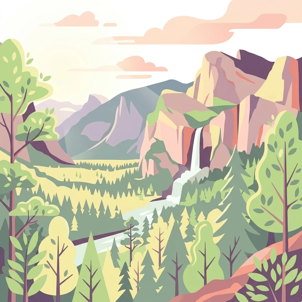
Illustration showing mountains, forest, waterfall, and river in a scenic landscape

Mountain wilderness along Virginia's Blue Ridge

Shenandoah National Park

Shenandoah National Park preserves a dramatic stretch of Virginia's Blue Ridge Mountains, protecting a long and narrow corridor of forested ridgeline that runs approximately 105 miles from Front Royal in the northeast to Waynesboro in the southwest. The park sits astride the drainage divide between the Shenandoah River basin to the west and the James and Rappahannock River basins to the east, with local relief exceeding 3,000 feet in some locations. Nearly 40 percent of the park's 200,000-acre expanse has been designated as wilderness, offering some of the most extensive backcountry hiking and solitude opportunities in the eastern United States. Established in 1935 after a contentious period of land acquisition that displaced numerous mountain communities, the park represents both a remarkable conservation achievement and a complex chapter in regional history.

Location
United States of America
Park type
National park
Established
1935
Area
811.2 km²
Highest point
1,235 m
Shenandoah National Park Protected Landscape

Browse seismic events by magnitude, epicenter distance, and focal depth across the Blue Ridge region.

Historical Seismicity and Earthquake Records Near Shenandoah National Park

Geographic database records compile historical seismic occurrences registered within a measured radius of Shenandoah National Park. Each cataloged entry includes precise epicenter coordinates, calculated distance from the park boundary, recorded magnitude, focal depth, and direct links to official seismological source data.

Sort by
Magnitude
Location

This page describes catalogued earthquakes associated with the park by epicentre location and distance. It does not establish causation, assess current danger, or predict future earthquakes.

No earthquake records match the current filters

Park atlas

Browse mapped conservation areas, regional sanctuaries, and wilderness preserves.

Explore National Parks and Protected Landscapes Beyond Shenandoah National Park

Visitors interested in the geography of Shenandoah National Park can expand their search to include diverse public lands and wilderness sanctuaries across different regional territories. Comprehensive geographic profiles provide structured facts on climate, location, and ecosystem types to support systematic exploration.
National parkWest Virginia
177 km away#1 closest

West

New River Gorge National Park and Preserve: Appalachian River Gorge Protected Landscape Atlas

Mapped terrain and geographic context within West Virginia.

Delve into the protected landscape identity of New River Gorge National Park and Preserve, a significant national park in West Virginia. This page details its role as a protected area, highlighting the dramatic river gorge geography, mapped terrain, and its place within the Appalachian Mountains. Understand the park's boundaries and the natural context that makes it a key destination for geographic discovery and conservation appreciation.

Area
294.64 km²
Established
2020
IUCN
V
Visitors
1.6M annual
National parkOhio
371 km away#2 closest

Northwest

Cuyahoga Valley National Park: Detailed Atlas and Protected Landscape Information

Explore the mapped geography and natural terrain of Ohio's National Park.

Access detailed atlas information for Cuyahoga Valley National Park, a vital protected landscape in Ohio. Understand its geographic scope, mapped boundaries, and the surrounding natural terrain. This entry provides essential context for exploring the park's identity as a National Park and its significance within the broader mapped geography of the United States.

Area
132.7 km²
Established
2000
IUCN
II
Visitors
2.9M annual
National parkTennessee
454 km away#3 closest

Southwest

Great Smoky Mountains National Park: Exploring Its Protected Landscape and Regional Geography

Tennessee's premier national park, mapped for landscape discovery.

Delve into the protected area identity of Great Smoky Mountains National Park, a significant natural landmark within Tennessee. This page provides detailed context on its mountainous terrain, mapped ecological zones, and its foundational role in the broader geography of eastern North America. Understanding the park's specific protected landscape features and its geographic setting is essential for appreciating its unique conservation value.

Area
2,114.15 km²
Established
1934
IUCN
II
Visitors
12.2M annual
National parkOntario
488 km away#4 closest

Northwest

Point Pelee National Park: Ontario's National Park Atlas and Protected Landscape Explorer

Mapped geography and protected area context within Ontario.

Point Pelee National Park is a designated national park in Ontario, Canada, offering a unique focus for geographic discovery. This entry details its protected landscape and mapped boundaries, essential for understanding its place within regional park atlases. Explore the core geographic identity of Point Pelee National Park and its significance as a protected natural area.

Area
15 km²
Established
1918
IUCN
II
Visitors
491.1K annual
National parkSouth Carolina
497 km away#5 closest

Southwest

Congaree National Park: A Protected National Park in South Carolina's Geographic Landscape

Explore mapped boundaries and regional park geography.

Congaree National Park represents a vital protected national park entity within South Carolina, offering rich opportunities for geographic discovery and landscape exploration. Its designation as a National Park underscores its importance in mapping protected areas and understanding regional terrain. This entry provides essential context for exploring the park's specific geographic features and its position within the broader atlas of conservation landscapes.

Area
108.021 km²
Established
2003
IUCN
Ib
Visitors
287.8K annual
National parkOntario
547 km away#6 closest

North

Rouge National Urban Park: Ontario's Mapped Protected Landscape Atlas

Explore national park boundaries and regional geography.

Investigate Rouge National Urban Park, a designated national park situated in Ontario, Canada. This page provides detailed atlas-style information focusing on its mapped boundaries, regional geographic context, and its identity as a significant protected natural landscape. Understand the park's role within the broader Canadian atlas for landscape exploration.

Area
79.1 km²
Established
2015
IUCN
V
Relief
Mixed relief
Watercolor painting of green hills, islands, and a body of water under a pale yellow sky
National parkOntario
572 km away#7 closest

North

Thousand Islands National Park: Exploring Ontario's Protected Landscape Geography

Discover the mapped terrain and regional context of this national park.

Uncover the protected landscape identity of Thousand Islands National Park, a key national park located in Ontario. This resource focuses on its geographic setting, mapped boundaries, and overall atlas context, providing a clear understanding of its role as a protected area. Explore how its unique terrain contributes to the regional geography and the broader national park network, offering valuable insight for landscape-focused discovery.

Area
24.4 km²
Established
1904
IUCN
II
Visitors
109.3K annual
National parkKentucky
638 km away#8 closest

West

Mammoth Cave National Park: Kentucky's Premier National Park for Protected Landscape Exploration

Explore its mapped boundaries and regional geography.

Mammoth Cave National Park in Kentucky presents a profound opportunity for protected-area discovery, anchored by its status as a national park. This resource focuses on providing a factual atlas-style view of its landscape, emphasizing its geographic context within the region and the extent of its protected boundaries. Users can engage with detailed information designed for structured exploration, understanding the park not just as a location but as a key component of natural landscape data.

Area
210.46 km²
Established
1941
IUCN
II
Visitors
747K annual
MoriAtlas Explorer

Continue Exploring Shenandoah National Park's Mapped Geography and Protected Boundaries

Delve deeper into the atlas context of Shenandoah National Park by examining its specific protected-area boundaries and regional geographic setting. Understanding this park's landscape and its place within Virginia's natural terrain provides valuable insight for structured geographic discovery. Continue your exploration of this significant US national park's mapped features.