Mori Atlas logo
Park earthquake history

Review historical earthquake records including event dates, magnitudes, and epicentre distances.

Recorded Earthquake History and Seismic Data for Sierra National Forest in California

This catalogue provides a structured overview of recorded seismic events associated with the geography of Sierra National Forest. Each entry reflects USGS-derived data mapped by proximity to the park boundary, offering a clear record of local earthquake activity over time. Users can examine event timing, depth, and magnitude to better understand the seismic history within this portion of the Sierra Nevada landscape.

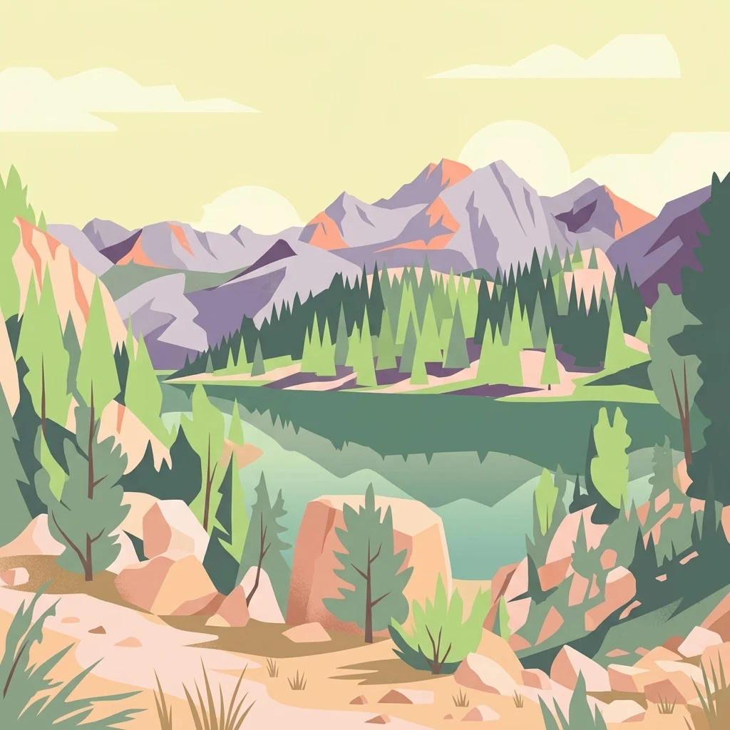
Digital vector-style illustration of a tranquil mountain lake surrounded by pine forests and rocky peaks under a soft, pale sky.

A vast Sierra Nevada landscape of foothill oak woodlands, mountain forests, alpine lakes, and high country wilderness.

Sierra National Forest

Sierra National Forest is a U.S. national forest located on the western slope of the central Sierra Nevada in California, bounded on the northwest by Yosemite National Park and on the south by Kings Canyon National Park. The forest encompasses more than 1.3 million acres, ranging from oak-covered foothill country along the San Joaquin Valley margin up through heavily forested middle-elevation slopes and into the open tundra-like terrain of the High Sierra. The forest is known for its mountain scenery and beautiful lakes, including Bass Lake, Shaver Lake, Huntington Lake, Wishon Reservoir, and Courtright Reservoir. It also includes several designated wilderness areas such as Ansel Adams, John Muir, Dinkey Lakes, Kaiser, and Monarch, which protect some of the most distinctive high-country landscapes in the southern Sierra Nevada. Sierra National Forest was created in 1893 as the second national forest in California and originally covered a much larger territory than it does today. Over time, major portions were carved out to form Yosemite, Sequoia, and Kings Canyon National Parks, as well as the Inyo, Toiyabe, Sequoia, and Stanislaus National Forests, leaving today's forest as a central remnant of the historic Sierra Forest Reserve.

Location
United States of America
Park type
Protected landscape
Established
1893
Area
5,300 km²
Highest point
4,263 m
Sierra National Forest Map and Geography

Compare Sierra National Forest events by magnitude and distance

Study historical earthquake observations near Sierra National Forest

Sierra National Forest’s nearby earthquake observations are connected through reported epicentres and calculated forest distances, not claimed within its Sierra Nevada boundary. Readers can study time, magnitude, depth, locality, separation, and citations without presenting mountain or forest qualities as seismic causes, evaluating current hazard, or forecasting future events.

Sort by
Magnitude
Location

This page describes catalogued earthquakes associated with the park by epicentre location and distance. It does not establish causation, assess current danger, or predict future earthquakes.

No earthquake records match the current filters

Park atlas

Continue from Sierra National Forest earthquake data

Find other park destinations after Sierra National Forest

The Sierra National Forest earthquake data is followed by a stand-alone range of parks and protected places. Their inclusion does not establish common mountain forests, management status, biodiversity, geology, seismic behaviour, proximity, hazard exposure, risk, or the same depth of documentation.
A horizontal watercolor painting depicting a mountain range in the background with rolling hills and a winding river or stream in the foreground.
Protected landscapeCalifornia
Park boundaries overlap#1 closest

North

Inyo National Forest: An Atlas of Protected Landscapes and Sierra Nevada Geography

High altitude wilderness and volcanic terrain in Eastern California

Spanning from the arid Owens Valley floor to the 14,000 foot crest of the Sierra Nevada, Inyo National Forest remains a cornerstone of the American West. This protected landscape contains the Ancient Bristlecone Pine Forest, Mount Whitney, and the Mono Inyo volcanic chain, providing a dense geographic record of glacial, tectonic, and ecological diversity across a vast managed corridor.

Area
7,702.71 km²
Established
1907
IUCN
Ib
Relief
Mountain
A watercolor painting showing a panoramic view of mountain ranges, a treeline, and a calm body of water in the foreground.
Wildlife reserveCalifornia
Park boundaries overlap#2 closest

Southeast

John Muir Wilderness: Sierra Nevada Protected Landscape and High Mountain Geography

California wilderness area with glacial basins and granite peaks

John Muir Wilderness represents one of the largest protected high-elevation areas in the contiguous United States. Spanning the Sierra Nevada crest, its granite terrain is sculpted by Pleistocene glaciation into sharp arêtes, deep canyons, and hundreds of alpine lakes. This wilderness serves as a vital geographic anchor for mountain ecosystems, offering an extensive look at the high-country landscape of eastern California.

Area
2,641.76 km²
Established
1964
IUCN
Ib
Relief
Mountain
Wildlife reserveFresno County
Mapped location lies within the park boundary#3 closest

Southeast

Kaiser Wilderness: Exploring the Alpine Ridges and Glacial Terrain of the Central Sierra Nevada

A federally protected wilderness area in Fresno County, California.

Kaiser Wilderness offers a dense collection of signature Sierra Nevada landforms, including granite cliffs, subalpine forests, and high-altitude lakes. This wildlife reserve preserves a rugged, glacier-scoured interior that provides a distinct contrast to the surrounding regional landscape of the Sierra National Forest, making it a critical entity for understanding mid-elevation mountain ecology.

Area
92 km²
Established
1976
IUCN
Ib
Relief
Mountain
National parkCalifornia
Park boundaries overlap#4 closest

Southeast

Kings Canyon National Park National Park: California Protected Landscape & Geography Atlas

Mapped park boundaries and regional natural context.

Kings Canyon National Park stands as a key protected national park within California, offering a specific focus for geographic understanding and atlas-based exploration. This page details the park's mapped boundaries and its integration into the broader regional geography of California. For users interested in the distribution of protected lands and the mapping of natural landscapes, Kings Canyon National Park provides a crucial point of study within the comprehensive park atlas.

Area
1,869.25 km²
Established
1890
IUCN
II
Visitors
641K annual
Watercolor painting of a panoramic mountain landscape with stylized pine trees and soft green meadows.
Protected landscapeCalifornia
Park boundaries overlap#5 closest

South

Sequoia National Forest: Protected Sierra Nevada Geography and Mountain Terrain

A vast protected landscape spanning 1.1 million acres in California

Spanning Tulare, Kern, and Fresno counties, Sequoia National Forest preserves iconic giant sequoia groves across multiple river watersheds. The terrain features vertical relief exceeding 11,000 feet, showcasing a range of ecosystems from chaparral slopes and coniferous forests to glacial cirques and granite spires located within the southern Sierra Nevada range.

Area
4,829.17 km²
Established
1908
Relief
Mountain
Climate
Mediterranean
Watercolor painting of green rolling hills, a tree-lined foreground, and a soft pink sunset sky.
Protected landscapeCalifornia
Park boundaries overlap#6 closest

Northwest

Stanislaus National Forest: Sierra Nevada Mountain Geography and Protected Wilderness Lands

California mountain terrain and forest landscape map

Stanislaus National Forest is a sprawling protected landscape located in the central Sierra Nevada of California. Characterized by volcanic and granite formations, the area protects critical watersheds, Wild and Scenic rivers, and large swaths of old growth forest that define the rugged mountain interior.

Area
3,634.48 km²
Established
1897
Relief
Mountain
Climate
Temperate
Watercolor painting showing mountains, a winding river, and green forests in the foreground and background
National parkCalifornia
Park boundaries overlap#7 closest

Northwest

Yosemite National Park: Protected Landscape Identity and Geographic Atlas Context

Mapped boundaries and regional setting for a key California national park.

Delve into the protected landscape identity of Yosemite National Park, examining its specific geographic features and its place within the broader atlas of California's natural areas. This entry provides detailed context on its mapped boundaries, regional positioning, and significance as a protected natural site, essential for understanding its landscape and conservation geography.

Area
3,070 km²
Established
1890
IUCN
II
Visitors
3.9M annual
Watercolor painting of a lake bordered by a coniferous forest with mountain silhouettes in the distance.
Wildlife reserveTulare County
13 km away#8 closest

Southeast

Jennie Lakes Wilderness in Tulare County: Sierra Nevada Protected Landscape Map

High-country geography and wilderness boundaries

Jennie Lakes Wilderness offers a distinct look at high Sierra Nevada topography, featuring granite ridges, alpine lakes, and deep canyons. This Tulare County reserve acts as a critical transition zone between adjacent national parks, preserving a diverse mix of subalpine forests and rugged mountain peaks within its 10,500 acre boundary.

Area
42.72 km²
Established
1984
IUCN
Ib
Relief
Mountain
MoriAtlas Explorer

Explore the Geography and Protected Boundaries of Sierra National Forest

Use MoriAtlas to visualize the unique vertical transitions of Sierra National Forest, from its oak-covered western foothills to the remote High Sierra wilderness. Analyze how this central California landscape connects major mountain ecosystems and provides a clear map-based view of its expansive protected terrain.