
Lakes
Park geography
Structured landscape analysis including regional boundaries and hydrological features
Geographic Profile and Mapped Terrain of Smith River National Recreation Area in California
This geographic profile details the physical characteristics of Smith River National Recreation Area located in Del Norte County, California. The 1235 square kilometer landscape features temperate coniferous forest habitats, mountain terrain, and major riverine systems. Explore recorded natural features including the Smith River, Jedediah Mountain, and numerous mountain peaks and stream networks contained within the protected area.
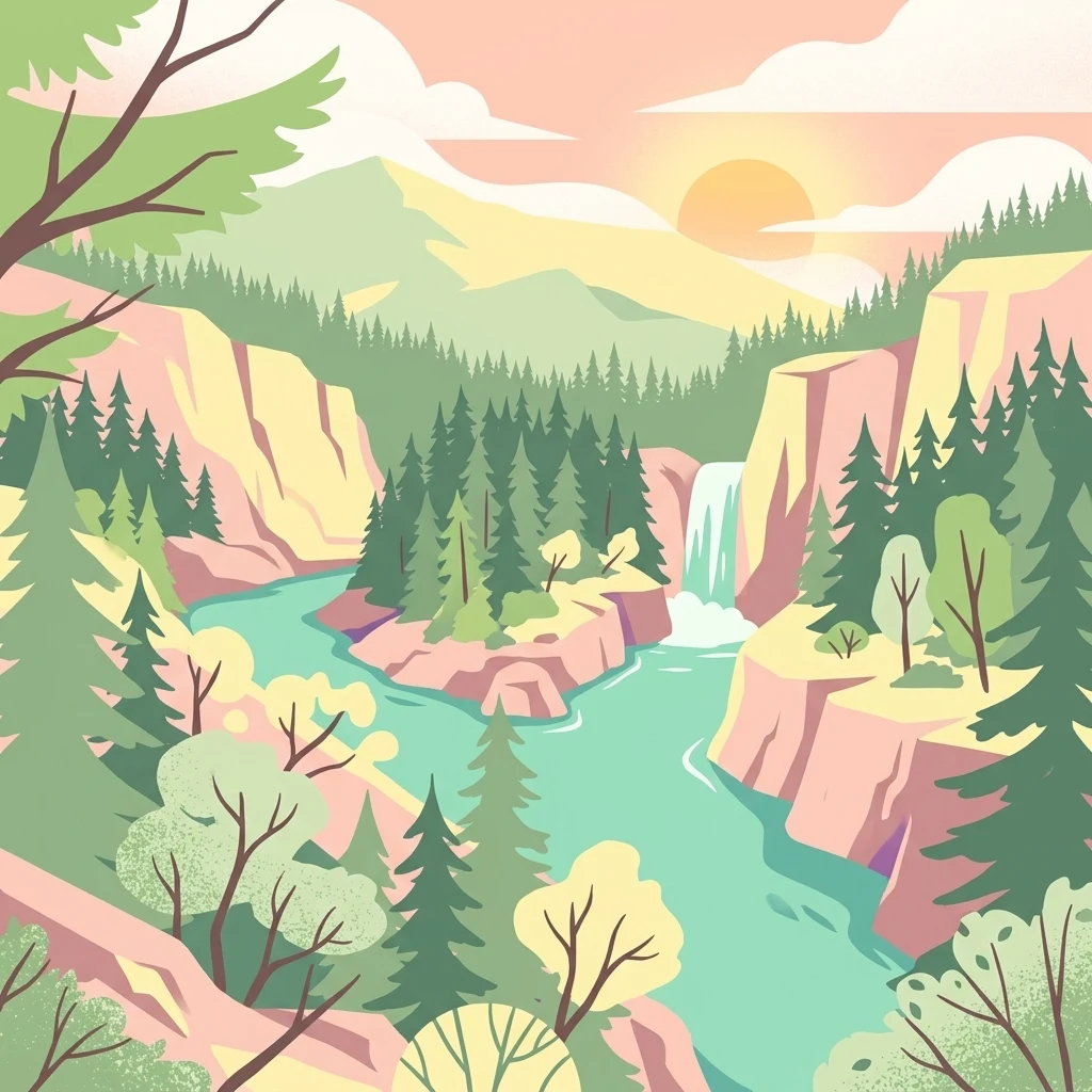
A wild river corridor in the Klamath Mountains where the Smith River meets the redwood country of northwestern California.
Smith River National Recreation Area
Smith River National Recreation Area is a protected area in northwestern California, set within the rugged terrain of the Klamath Mountains and following the wild course of the Smith River. Established by Congress in 1990 and managed by the U.S. Forest Service as part of Six Rivers National Forest, it preserves a remote, heavily forested landscape where coastal mountains rise against the Pacific-influenced climate of the far northern California coast. The recreation area shares its northern boundary with Redwood National and State Parks and acts as the inland complement to the famous redwood groves of the region. The Smith River itself is one of the longest designated National Wild and Scenic Rivers in the United States, and the surrounding mountains, creeks, and old-growth forests provide a setting for fishing, rafting, hiking, and camping in a setting that feels far removed from California's more developed coast. Smith River National Recreation Area is best understood as a wild, water-defined landscape shaped by heavy rainfall, salmon-bearing rivers, and rare coastal tree species. Its combination of recreational river corridors, Klamath Mountain geology, and proximity to the redwood parks makes it a key inland component of the broader northwest California protected-area network.
- Location
- United States of America
- Park type
- Protected landscape
- Established
- 1990
- Area
- 1,235 km²
Location overview
Country and regional memberships in the United States
Smith River National Recreation Area Geography and Regional Setting
Smith River National Recreation Area is located within the United States, specifically anchored in Del Norte County, California. National park records confirm its exact territorial memberships and high-level geographic status without marine or transboundary borders.
- Countries
- United States of America
- Regions
- California, Del Norte County
- Primary location
- California
- Geographic setting
- Inland
Boundary and coordinates
Interactive boundary geometry and calculated area metrics
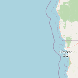
Smith River National Recreation Area Boundary Map and Spatial Extent
Mapped geographic outlines provide precise spatial context for the protected area limits. Structured boundary measurements detail the recorded land area, perimeter dimensions, and coordinate spans.
- Boundary area
- 1,332.2 km²
- Boundary perimeter
- 250.8 km
- Northernmost point
- 41.9966° N
- Southernmost point
- 41.5117° N
- Easternmost point
- 123.6357° W
- Westernmost point
- 124.0801° W
- Geographic centre
- 41.7944° N, 123.8564° W
- North–south span
- 53.9 km
- East–west span
- 37 km
Terrain and natural features
Explore recorded mountain terrain classifications and interior water features
Smith River National Recreation Area Terrain and Named Natural Features
Mountain terrain classifications encompass recorded peaks, streams, lakes, and rivers located within the boundaries. Linked feature cards supply official names, feature types, and spatial relationships for each entry.
Selected named natural features
Streams
East Fork Patrick Creek
Peaks
Number Two
1,594 m
Streams
Buck Creek
Streams
Eighteenmile Creek
Rivers
Smith River
Environmental setting
Temperate coniferous forests, Mediterranean climate zones, and major riverine watersheds
Smith River National Recreation Area Environmental Classifications and Physical Setting
Recorded mountain terrain, forest cover, and water systems function as complementary interpretations of the physical setting. Associated categories link directly to relevant atlas destinations across the protected landscape.
- Relief
- Mountain
- Climate
- Mediterranean
- Water
- Major water bodies
- Forest cover
- Mostly forested
- Seasonality
- Year-round
Landscape features
Mountains · Rivers · Forest
Habitat types
Temperate coniferous forest · Riverine habitat
Park atlas
Compare adjacent Klamath Mountain terrain and connected regional park geography
Other Parks Near Smith River National Recreation Area and Surrounding Protected Landscapes
Browsing other parks near Smith River National Recreation Area reveals adjacent Klamath Mountain watersheds and connected coastal reserves. Comparing regional protected areas provides broader geographic context for the entire northwestern California wilderness network.
National parkCalifornia
Park boundaries overlap#1 closest
South

Redwood National and State Parks: Protected Landscape Geography and Mapped Boundaries
Explore California's protected area atlas.
Gain a structured understanding of Redwood National and State Parks as a protected national park within the geographic context of California. This dedicated page focuses on its mapped boundaries and protected landscape identity, offering critical atlas-level insights for regional geography exploration and conservation land context. Discover how this protected area fits into the larger mapped terrain.
- Area
- 562.88 km²
- Established
- 1968
- IUCN
- V
- Visitors
- 458.4K annual

Protected landscapeOregon
Park boundaries overlap#2 closest
North
Rogue River, Siskiyou National Forest: Mapped Geography and Protected Area Overview
Tracing volcanic peaks and river-carved mountain terrain in Oregon
Spanning nearly 7,300 square kilometers, the Rogue River, Siskiyou National Forest acts as a crucial ecological anchor in the Pacific Northwest. This overview details its unique mountain geography, the extensive wilderness tracts within its boundaries, and the river systems that define its mountainous character.
- Area
- 6,973.46 km²
- Established
- 2004
- Visitors
- 915K annual
- Relief
- Mountain
Protected areaCalifornia
Park boundaries overlap#3 closest
Southwest
Six Rivers National Forest: Exploring Protected River Valleys and Mountain Terrain in California
A regional protected area spanning California river systems
Six Rivers National Forest defines much of the rugged landscape in northwestern California. Named for the six major river drainages within its borders, the area features a unique combination of coastal forests, deep river canyons, and high-country ridges that offer significant insight into the region's broader geographic and ecological character.
- Area
- 3,875.2 km²
- Established
- 1947
- Relief
- Mountain
- Climate
- Mediterranean
Wildlife reserveOregon
3.4 km away#4 closest
North
Kalmiopsis Wilderness: Mapping the Protected Landscapes and Geology of Southwestern Oregon
Botanical richness and dramatic canyon terrain in the Klamath Mountains
Kalmiopsis Wilderness preserves a dramatic landscape of steep ridges and river-cut valleys across 180,000 acres in southwestern Oregon. Known for its distinct serpentine soils and high botanical diversity, the wilderness area offers a look at complex mountain ecology and significant Wild and Scenic River headwaters within the Rogue River-Siskiyou National Forest.
- Area
- 727.44 km²
- Established
- 1964
- IUCN
- Ib
- Relief
- Mountain
Wildlife reserveCalifornia
20 km away#5 closest
East
Red Buttes Wilderness: Mapping the Protected Mountain Geography of the Siskiyou Range
A rugged wilderness reserve straddling California and Oregon
Red Buttes Wilderness preserves a complex mountainous terrain shaped by ancient metamorphic rocks and glacial history. The area features high ridgelines, alpine lakes, and specialized botanical habitats, providing a vital window into the ecological and geological diversity of the broader Klamath and Siskiyou mountain landscapes.
- Area
- 80.7 km²
- Established
- 1984
- IUCN
- Ib
- Relief
- Mountain
Protected landscapeCalifornia
24 km away#6 closest
Southeast
Marble Mountain Wilderness: Exploring Protected Mountain Landscapes in Northern California
Klamath Mountains Wilderness and Alpine Geography
Spanning hundreds of thousands of acres, Marble Mountain Wilderness offers a dense concentration of subalpine fir, deep glacial lakes, and steep drainage basins. This northern California protected landscape provides an atlas of rugged ridges and marble-toned peaks that represent one of the most ecologically diverse backcountry areas in the region.
- Area
- 978.3 km²
- Established
- 1964
- IUCN
- Ib
- Relief
- Mountain
Protected landscapeCalifornia
About 33 km away#7 closest
Southeast
Klamath National Forest; Protected Landscape Geography and Mapped Wilderness Boundaries
Diverse mountain terrain in Northern California
Klamath National Forest represents a significant protected area in Northern California, encompassing a vast, rugged landscape that bridges the Klamath Mountains and the Cascade Range. Its terrain is characterized by deeply incised river valleys, exposed rocky summits, and an intricate mosaic of coniferous forests. This geographic detail provides essential context on the forest's role as a major site for wilderness protection and ecological study in the Pacific Northwest.
- Area
- 7,033 km²
- Established
- 1905
- Relief
- Mountain
- Climate
- Temperate

Protected landscapeCalifornia
51 km away#8 closest
Southeast
Shasta, Trinity National Forest: Mapping the Protected Landscapes of Northern California
Volcanic peaks, expansive reservoirs, and rugged mountain wilderness
Spanning over two million acres, Shasta, Trinity National Forest represents a major protected landscape in Northern California. The geography includes the iconic Mount Shasta volcano and the complex shoreline of Shasta Lake, while hosting expansive wilderness areas and diverse terrain ranging from oak-forested foothills to alpine meadows.
- Area
- 8,942.87 km²
- Established
- 1954
- Relief
- Mountain
- Climate
- Temperate
MoriAtlas Explorer
Continue Exploring the Smith River National Recreation Area Watershed and Map
Deepen your understanding of this significant protected landscape in northwestern California by examining its mountainous terrain and unique river corridors. MoriAtlas provides the necessary geographic context to map the inland watersheds and forest ecosystems that define this rugged region of the Klamath Mountains.
Browse next
Global natural geography
Explore related park routes
Explore MoriAtlas Global ParksBrowse All MoriAtlas ParksGlobal Park Map DiscoveryMoriAtlas: Browse All CountriesBrowse All MoriAtlas ContinentsNational Park Environment AtlasGrand Canyon National Park AtlasYellowstone National Park AtlasYosemite National Park Atlas and GeographySerengeti National Park AtlasGalápagos National Park Protected LandscapeBanff National Park Geography and AtlasKruger National Park Atlas EntryUluṟu-Kata Tjuṯa National Park AtlasExplore Uluru-Kata Tjuta National Park GeographyPlitvice Lakes National Park AtlasFiordland National Park Protected LandscapeGreat Smoky Mountains National Park AtlasAfghanistan National Parks and Protected AreasAlbania National Parks and Protected AreasAlgeria National Parks and Protected AreasAmerican Samoa National Parks and Protected AreasAndorra National Parks and Protected AreasAngola National Parks and Protected AreasAntarctica National Parks and Protected AreasAntigua and Barbuda Park List