Mori Atlas logo
Park earthquake history

Review historical seismic data and epicentre proximity for this protected ravine landscape

Recorded Earthquake History and Seismic Records for Soběchlebské terasy Natural Monument

This historical catalogue provides a filtered record of seismic activity identified in the vicinity of Soběchlebské terasy. Each entry details documented earthquake events, including magnitude, depth, and epicentre distance relative to the protected ravine. This data offers a clear view into regional seismic trends through a geographic perspective, focusing on transparent event logging for those researching the geological context of the Ústí nad Labem Region.

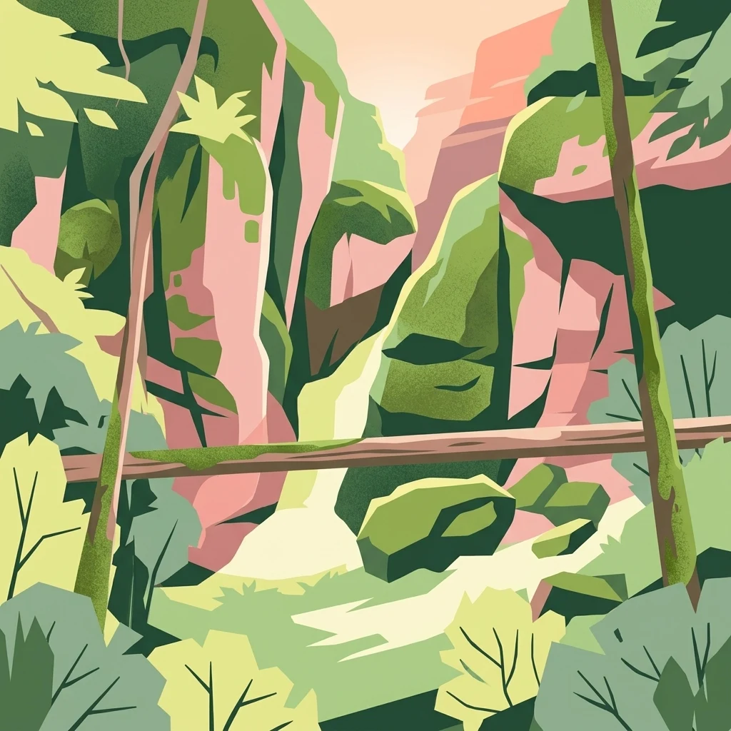
A stylized digital illustration of a forested ravine with rocky cliffs and a small stream, featuring warm pink and green tones.

A small ravine in the Louny district protecting one of the Czech Republic's rare lady's slipper orchid populations.

Soběchlebské terasy

Soběchlebské terasy is a small protected natural area in the Louny district of the Ústí nad Labem Region in the northwestern Czech Republic. It lies along the valley of the Černocký stream, northeast of the village of Soběchleby, and consists mainly of a deep, narrow ravine cutting through wooded slopes. Although the protected area covers only about 2.64 hectares, it is ecologically significant because it shelters a population of the critically endangered lady's slipper orchid (Cypripedium calceolus), a species of European conservation importance. The site's designation as part of the Natura 2000 network reflects its value as a habitat for rare thermophilic woodland flora rather than its size or dramatic scenery. The protected area is administered at the regional level and was established to preserve a representative fragment of warm-loving oak forest on a steep, sheltered valley slope, where the combination of microclimate, geology, and traditional woodland character allows a notably rich community of wild orchids to persist.

Location
Czechia
Park type
Natural monument
Established
2011
Area
0 km²
Highest point
374 m
Soběchlebské terasy Protected Area

Compare Soběchlebské terasy earthquake observations by distance

Review recorded historical earthquakes near Soběchlebské terasy

Recorded earthquakes near Soběchlebské terasy are organised by event epicentre and distance from the protected terraces, not proof of boundary occurrence. Review dates, magnitudes, depths, location descriptions, distance figures, and cited records without interpreting terrace or landscape qualities as seismic causes, assessing current risk, or predicting later earthquakes.

Sort by
Magnitude
Location

This page describes catalogued earthquakes associated with the park by epicentre location and distance. It does not establish causation, assess current danger, or predict future earthquakes.

No earthquake records match the current filters

Park atlas

Continue after Soběchlebské terasy earthquake observations

Explore more protected destinations beyond Soběchlebské terasy

After the earthquake records associated with Soběchlebské terasy, this section opens independent park and protected-area profiles for broader atlas discovery. Their inclusion does not establish shared orchid habitat, mixed forest, natural-monument status, Czech geography, seismic evidence, proximity, risk, or dedicated earthquake content; each destination carries its own facts.
A soft watercolor painting of a rolling, hilly landscape with hints of forest, rendered in muted green, pink, and yellow tones on a white background.
Natural monumentCentral Bohemia Region
About 13 km away#1 closest

South

Malý Uran Natural Monument: Protected Rocky Valley Slopes in the Central Bohemia Region

Geological and Botanical Conservation Area

Malý Uran represents a compact but significant natural monument defined by its steep valley slopes and Precambrian bedrock. The site protects a localized juniper habitat flourishing on skeletal soils above the Kosobodský stream, providing a clear example of how rare geological substrates influence regional plant life and landscape structure.

Area
0.159 km²
Established
1996
IUCN
IV
Water
Minor water
A soft, light-toned watercolor painting depicting a green, hilly landscape with a winding path in the foreground.
Protected landscapeStředočeský kraj
About 16 km away#2 closest

East

Přírodní park Džbán: Geography and Protected Landscape Analysis of the Džbán Ridge

Forested highland and hydrological center of Středočeský kraj

Přírodní park Džbán encompasses a significant Cretaceous plateau and mixed-woodland system that functions as a triple watershed for three major river basins. The park preserves a rich mosaic of thermophilic plants and woodland fauna while maintaining the characteristic opuka geological features that define the vernacular architecture of this central Bohemian region.

Area
416 km²
Established
1994
Relief
Upland
Climate
Temperate
Natural monumentÚstí nad Labem Region
About 18 km away#3 closest

West

Vrbina u Nové Vsi Natural Monument: Protected Habitat Mapping and Geographic Overview

Wetland and meadow conservation in the Ústí nad Labem Region

Vrbina u Nové Vsi provides a deep look into the habitat mosaic of the Doupov Mountains foothills. This protected area stands out for its concentrated distribution of ten distinct biotopes, ranging from wet alder woodlands to orchid-rich meadows, providing a comprehensive example of lowland conservation within a larger volcanic terrain context.

Area
0.113 km²
Established
2016
IUCN
IV
Relief
Upland
Nature reserveÚstecký kraj
About 20 km away#4 closest

Northwest

Vinařský rybník Nature Reserve: Geographic Map and Protected Wetland Landscape

Lowland basin geography and habitat boundaries in Ústecký kraj.

Vinařský rybník represents a vital nature reserve and lowland wetland in the Ústecký kraj region, showcasing a distinct landscape of shallow ponds, reedbeds, and alluvial sediments. This site forms a key component of the regional avian habitat network, offering a concentrated look at the geological and hydrological features of the Žatecká pánev basin through detailed landscape mapping.

Area
0.151 km²
Established
1990
IUCN
IV
Relief
Upland
A soft, painterly watercolor illustration of a rolling green landscape with distant hills, grassy meadows, and patches of trees.
Protected landscapeChomutov District
About 20 km away#5 closest

West

Doupovská pahorkatina Nature Park: Mapped Geography and Protected Landscape Features

Upland volcanic terrain and steppe grasslands in Czech Republic.

Doupovská pahorkatina Nature Park protects a significant stretch of forest-steppe mosaics and rolling volcanic terrain in the southwestern part of the Chomutov District. This area stands out for its high density of dry grassland communities and wetland pockets along the Liboc river, providing a critical study of transitional geomorphology between the Doupov Mountains and the Žatecká pánev basin.

Area
47.7 km²
Established
1996
Natural monumentKarlovy Vary District
About 21 km away#6 closest

West

Valečské sklepy Natural Monument and Protected Bat Hibernation Site in Karlovy Vary

Volcanic terrain and critical wildlife infrastructure in western Bohemia

Valečské sklepy represents a unique form of protected landscape in the Karlovy Vary District, where historical underground cellars function as a specialized natural monument. The site maintains a crucial role as a winter hibernation refuge for the critically endangered western barbastelle, embedded within the volcanic geomorphology of the Doupovské hory region.

Established
2016
IUCN
III
Relief
Mountain
Climate
Temperate
Natural monumentKarlovarský kraj
About 22 km away#7 closest

West

Valeč Natural Monument: Geologic and Ecological Landscapes in the Karlovarský kraj

Tracing volcanic terrain and fossil sites in the Doupovské Hory

Valeč Natural Monument offers a deep look into the volcanic geology and protected wilderness of western Bohemia. Known for its historical paleontological finds and diverse forest cover, this landscape provides an essential case study for mineralogical research and habitat preservation within the wider regional geography.

Area
5.436 km²
Established
1992
IUCN
IV
Relief
Mountain
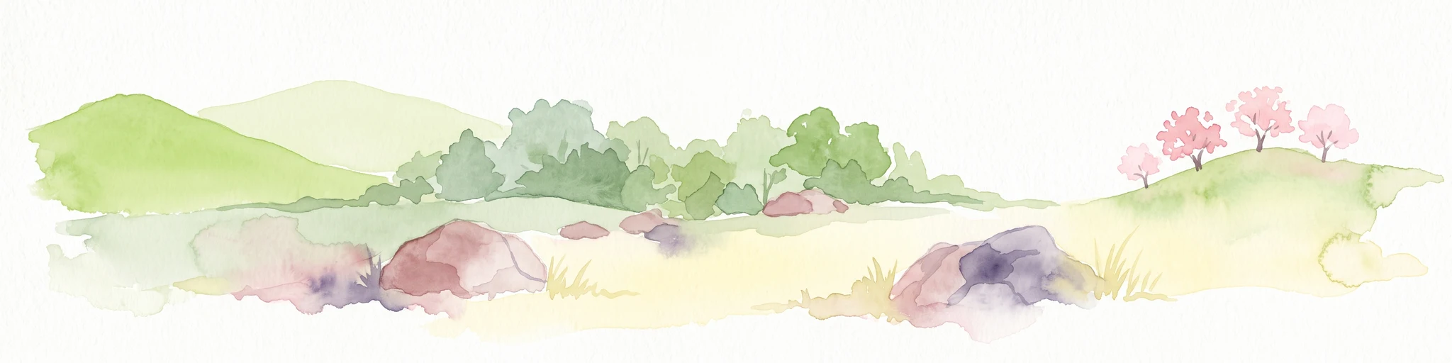
A watercolor painting showing a rolling landscape with green hills, scattered trees, blossoming pink trees, and several large dark boulders in the foreground.
Natural monumentÚstecký kraj
About 22 km away#8 closest

Northwest

Sluňáky Natural Monument: Geological Mapping and Protected Landscape Context

A preserved quartzite boulder field in the Ústecký kraj

Sluňáky represents a vital geological record within the Czech Republic, encompassing a distinctive group of silicified sandstone boulders. This natural monument serves as an important protected territory that illustrates the intersection of Tertiary geology and historical industrial extraction. The surrounding terrain reflects the complex volcanic and sedimentary history of the Doupovské hory foothills.

Area
0.032 km²
Established
1966
IUCN
III
Relief
Upland
MoriAtlas Explorer

Explore the Protected Geography of Soběchlebské terasy Natural Monument

Deepen your understanding of the ravine landscapes and protected woodland features that define Soběchlebské terasy. MoriAtlas provides a clear view of the territorial boundaries and environmental setting of this significant natural monument in the Ústí nad Labem Region.

Global natural geography